
Route · MS
Pantanal 6Bonito Route
A journey through the landscapes of the Pantanal, the Bonito region and the cities in the south of Mato Grosso do Sul.
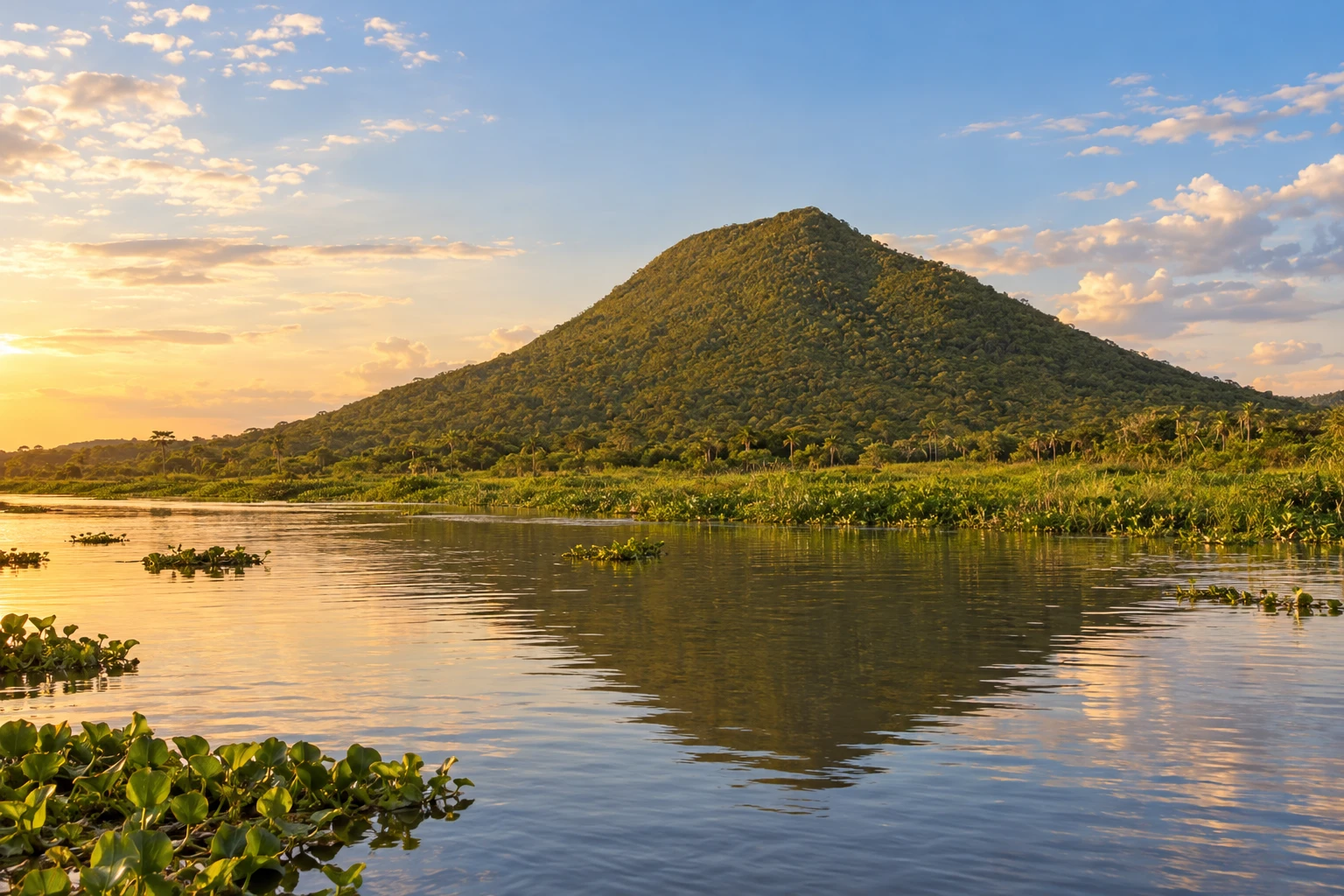
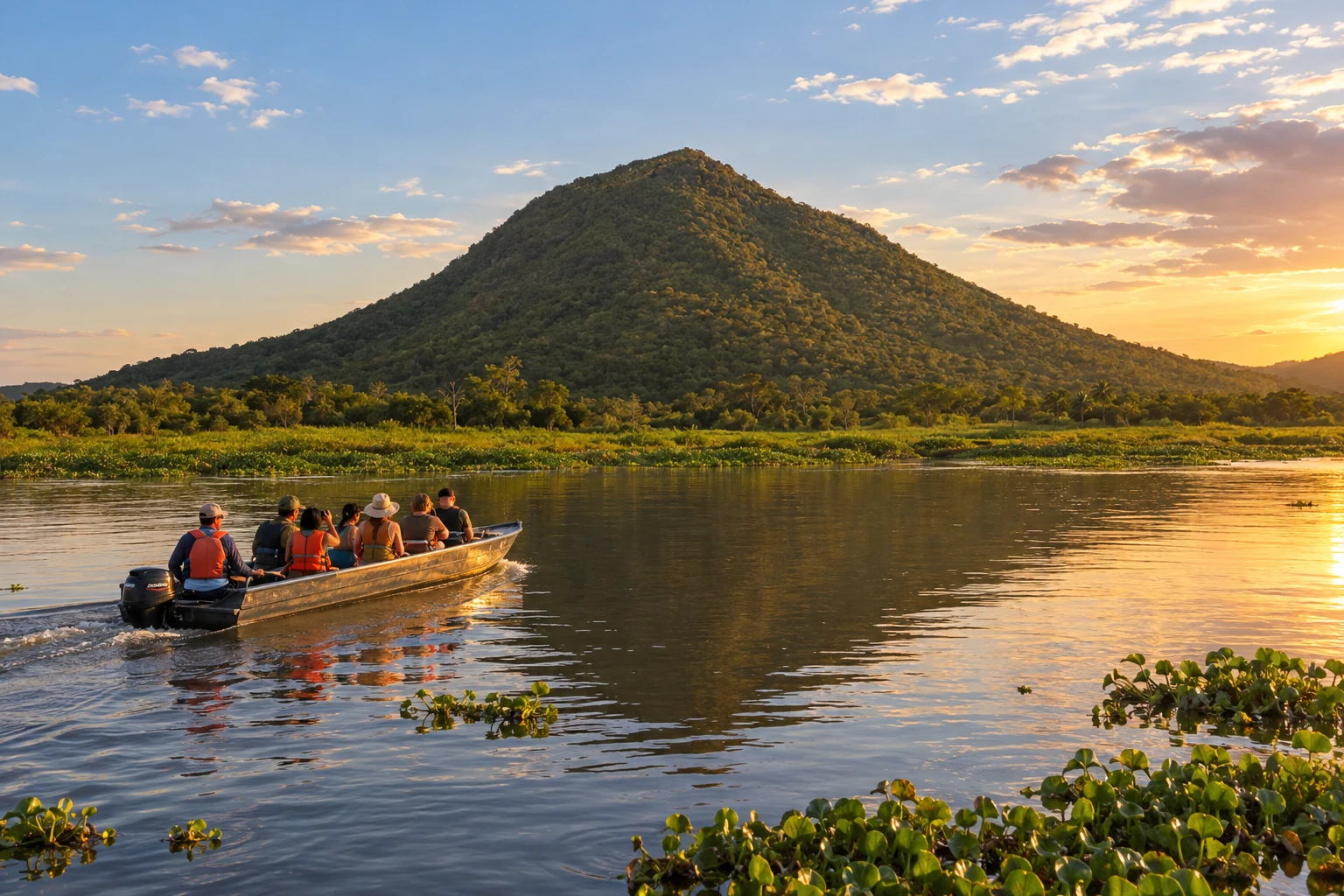
In the photo: Morro Pão de Açúcar, in Porto Murtinho
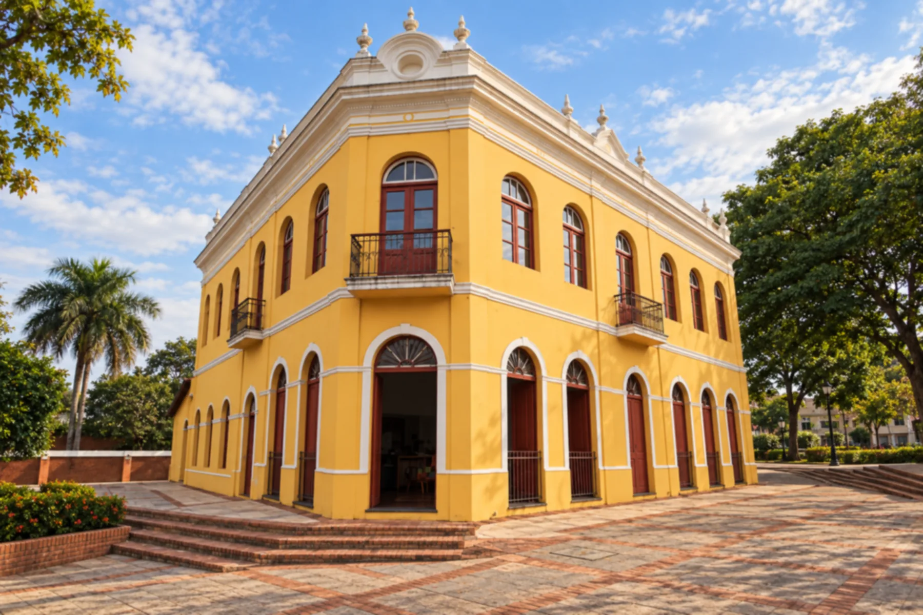
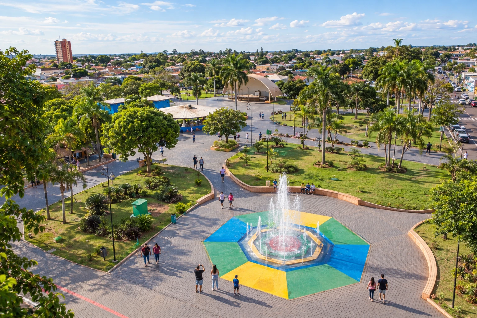
Illustrative images. The pictures in this guide are illustrations based on the real place, not photographs, and may differ from it.

The route
What the Pantanal 6Bonito Route is
The Pantanal 6Bonito Route brings together municipalities with different landscapes of Mato Grosso do Sul. The regional axis includes pantanal towns, bases in the Serra da Bodoquena and municipalities in the south and along the border. It does not correspond to a single road.
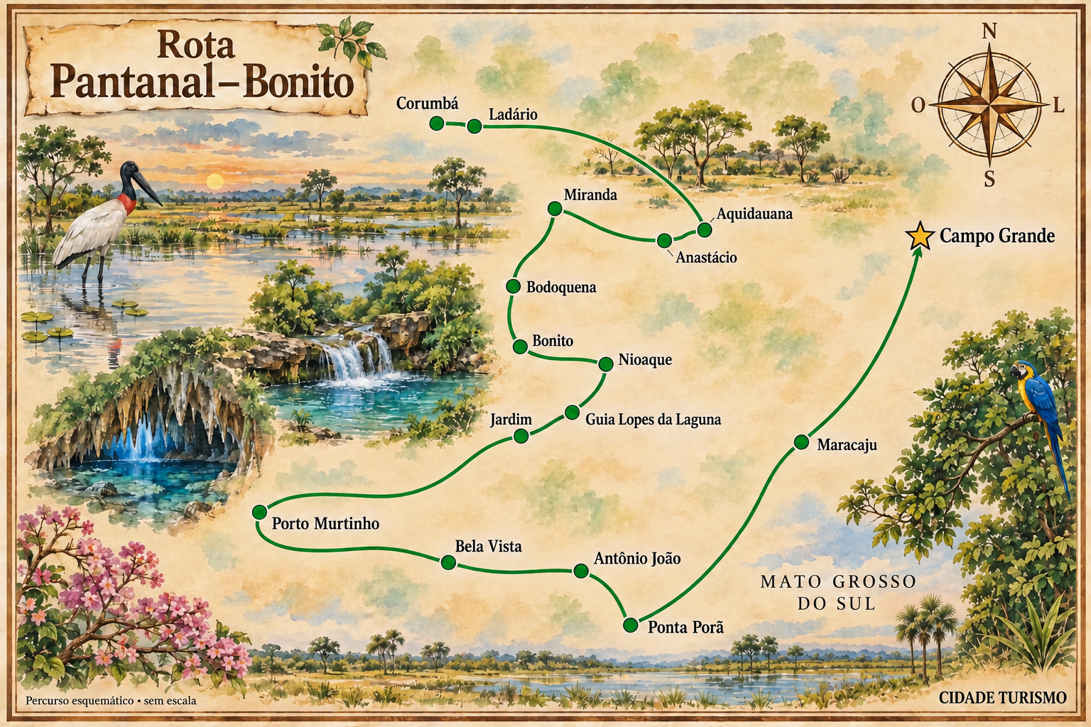
This itinerary starts in Campo Grande, goes through Maracaju, Ponta Porã, Antônio João and Bela Vista and reaches Porto Murtinho. It then links Jardim, Guia Lopes da Laguna, Nioaque, Bonito and Bodoquena. The sequence is editorial: choose the bases and organize transfers according to the tours.
Continuing via Miranda, Anastácio and Aquidauana allows entry into the pantanal region before heading to Ladário and Corumbá. Allow dedicated time for visits to rivers, caves and natural landscapes; these are not included in the driving time.
You can do only part of the route. The connection between the Pantanal and Bonito is a common section of the trip; visiting all sixteen municipalities requires a broader itinerary with detours to the south and the border.
The map
16 cities along the way
The journey
City by city
Distances and times are approximate: check before you set off.
-
 1 · MS
Campo Grande
Capital and arrival reference point to organize travel through the state.
→ Maracaju From Campo Grande, follow BR-060 to Sidrolândia and continue on MS-162 to Maracaju. This connection passes through the agricultural interior; gastronomic visits in Maracaju require going to the town seat.
-
 2 · MS
Maracaju
Urban stop in the Grande Dourados region before continuing toward the border.
→ Ponta Porã Maracaju and Ponta Porã are connected by MS-164, with a passing point at Vista Alegre. This stage continues toward the border region without the need to enter Paraguay.
-
 3 · MS
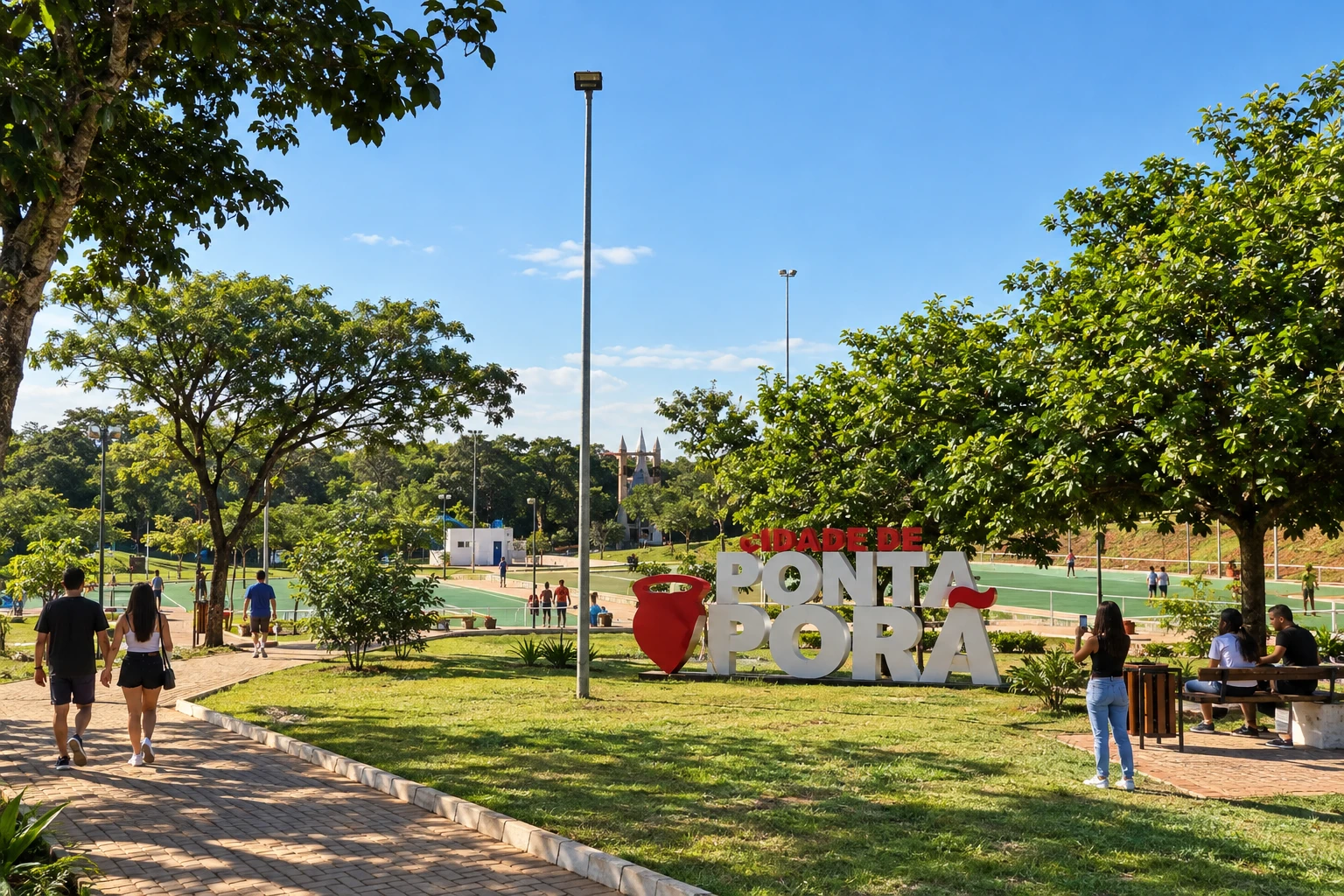
Ponta Porã
Border base, with a visit to the Horto Florestal.
→ Antônio João From Ponta Porã, use the access via the MS-164 axis and join MS-384 toward Antônio João. The route stays on the Brazilian side of the border.
-
 4 · MS
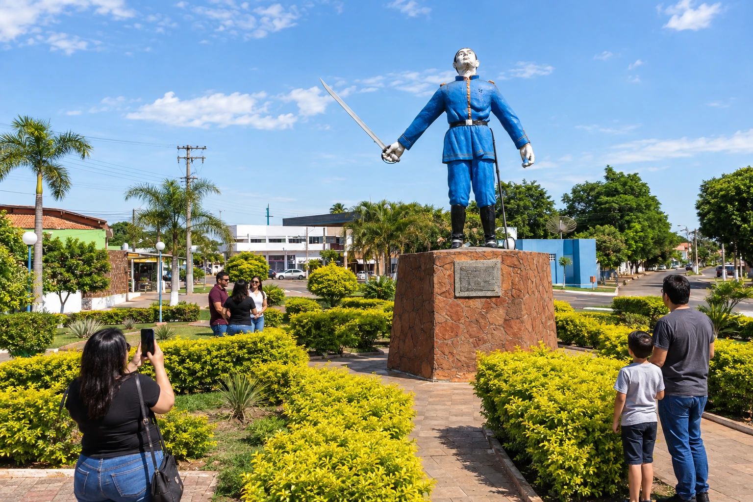
Antônio João
The monument to Antônio João Ribeiro provides a way to learn about a historical reference of the town.
→ Bela Vista Antônio João and Bela Vista are connected by MS-384, with a link to the BR-060 axis. The road has heavy vehicle traffic; the border memory sites require stops off the carriageway.
-
 5 · MS
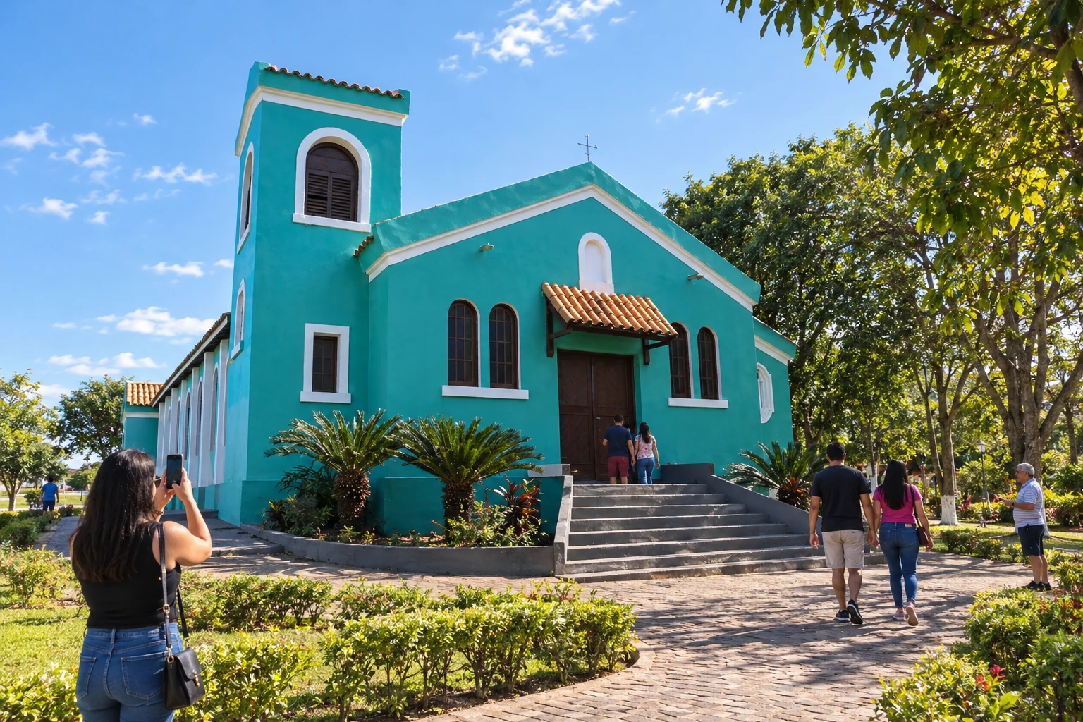
Bela Vista
Stop to see local heritage, such as the Igreja São Patrício.
→ Porto Murtinho A connection between Bela Vista and Porto Murtinho follows MS-384, passing through Caracol to BR-267. Check road conditions and use Porto Murtinho's urban access to reach the Rio Paraguai.
-
 6 · MS
Porto Murtinho
The landscape of the Rio Paraguai and its surroundings characterizes this part of the trip.
→ Jardim Leaving Porto Murtinho, BR-267 leads to Jardim. This stage departs the Rio Paraguai riverside base toward the interior; Jardim's natural tours have access points separate from the highway.
-
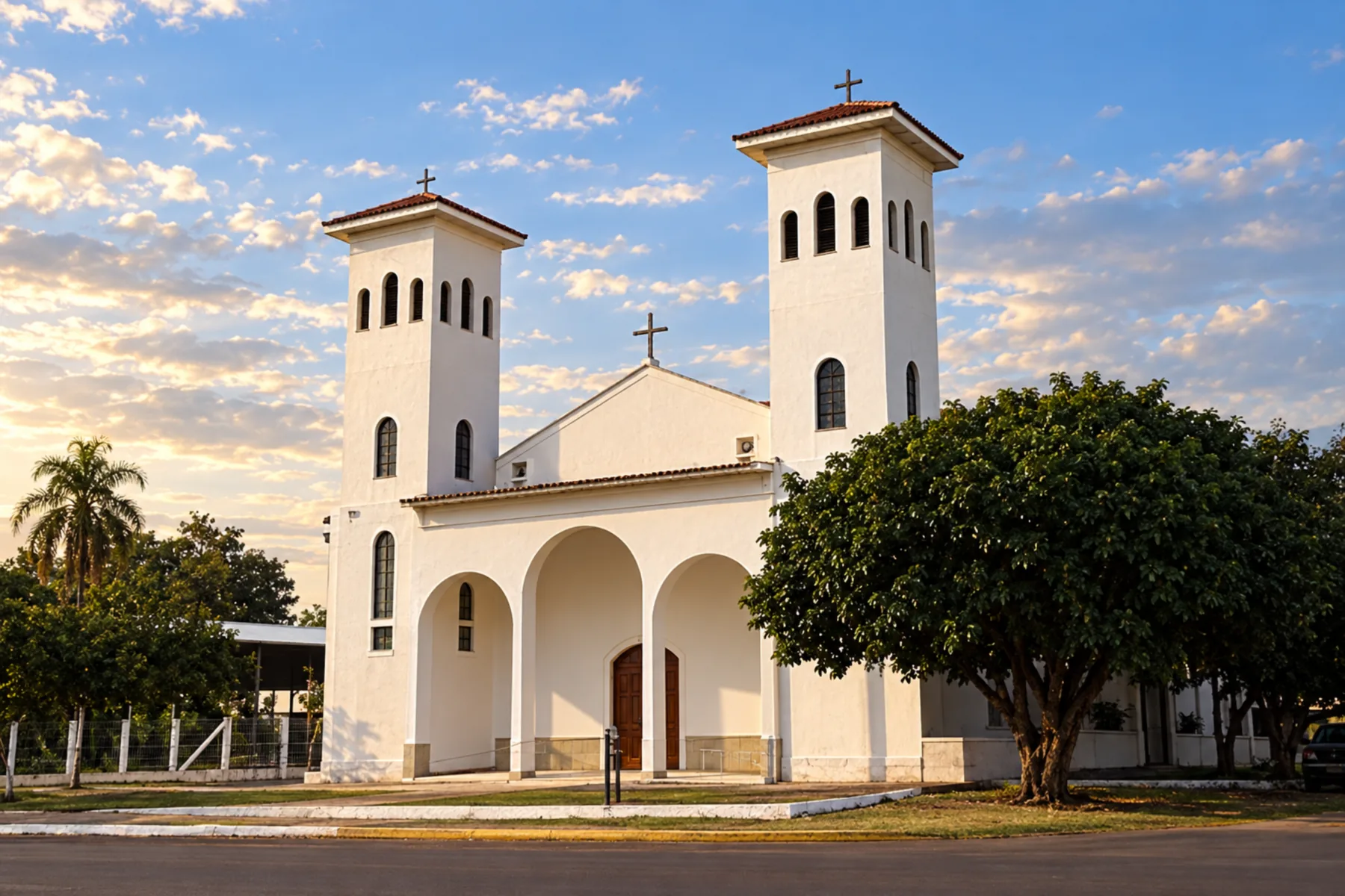 7 · MS
Jardim
One of the bases in the Bonito and Serra da Bodoquena region.
→ Guia Lopes da Laguna Jardim and Guia Lopes da Laguna are linked in the Rio Miranda region. To use the Ponte Velha, check height restrictions; incompatible vehicles should use another crossing indicated locally.
-
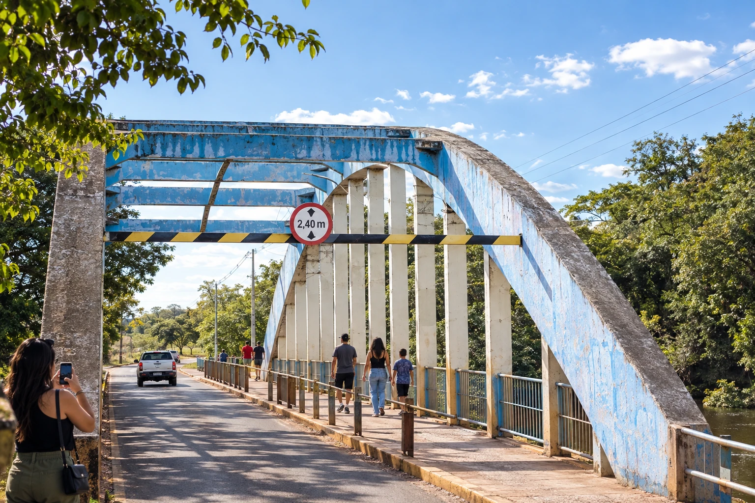 8 · MS
Guia Lopes da Laguna
The connection with Jardim and the Ponte Velha over the Rio Miranda are part of the local landscape.
→ Nioaque From Guia Lopes da Laguna, follow the BR-060/BR-419 axis to Nioaque. It is an inland land connection, with dedicated access to Nioaque's town center and to scheduled cultural activities.
-
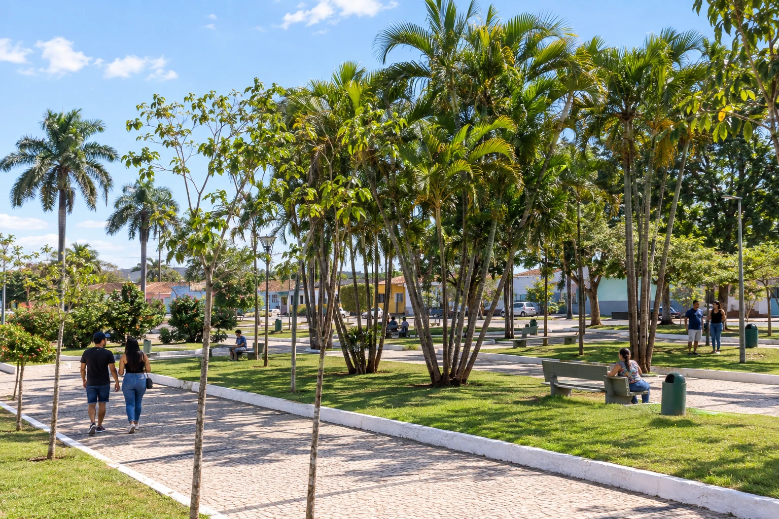 9 · MS
Nioaque
Urban stop that allows reorganizing the continuation of the itinerary.
→ Bonito To go from Nioaque to Bonito by road, return along the BR-060/BR-419 axis to Guia Lopes da Laguna and take MS-382. The sequence between bases does not represent a direct straight-line connection.
-
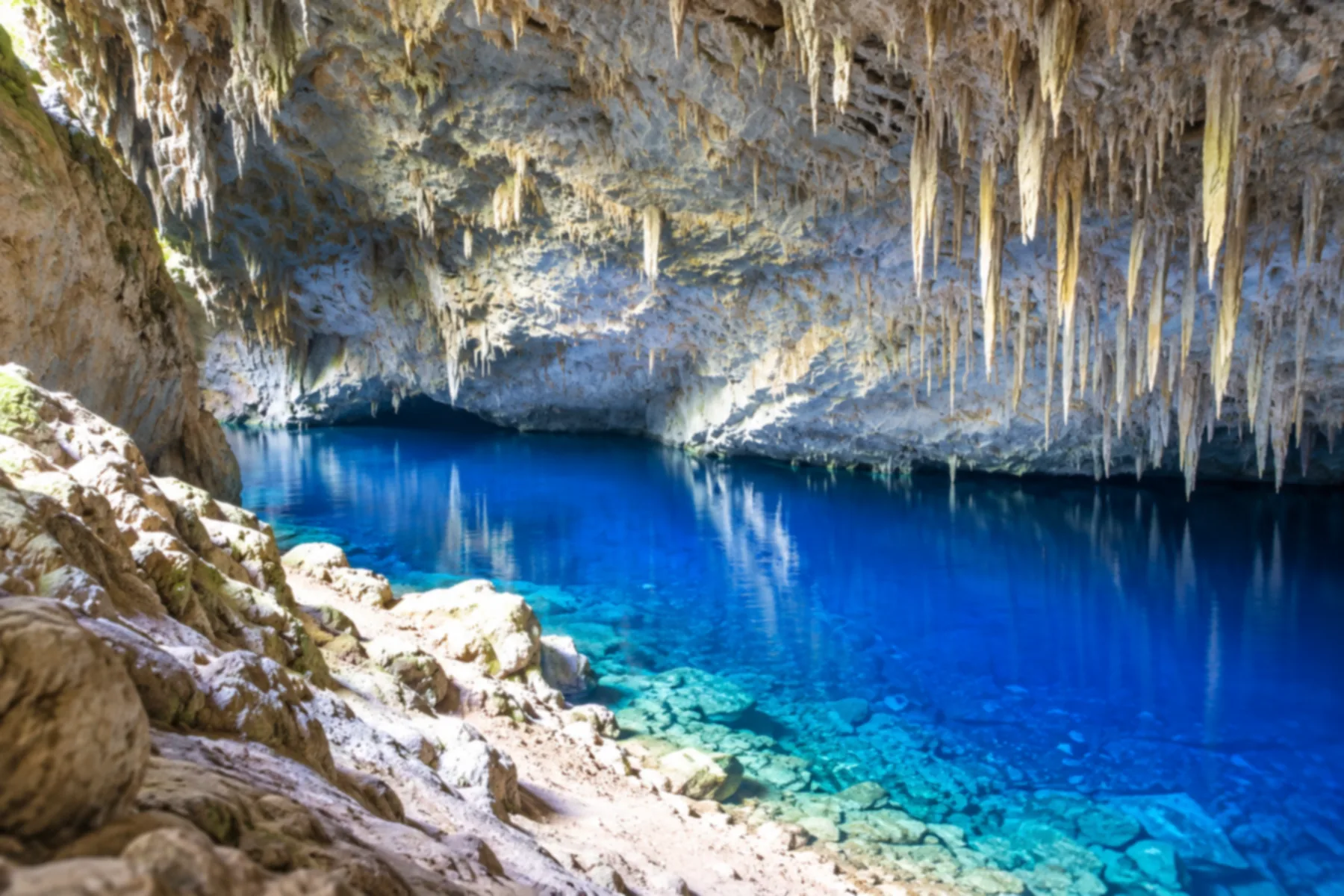 10 · MS
Bonito
Base for organizing nature tours, including rivers and caves.
→ Bodoquena Bonito and Bodoquena are connected by MS-178, crossing the mountainous region. Access points for tours depart from specific locations; pay attention to wildlife along the road margins.
-
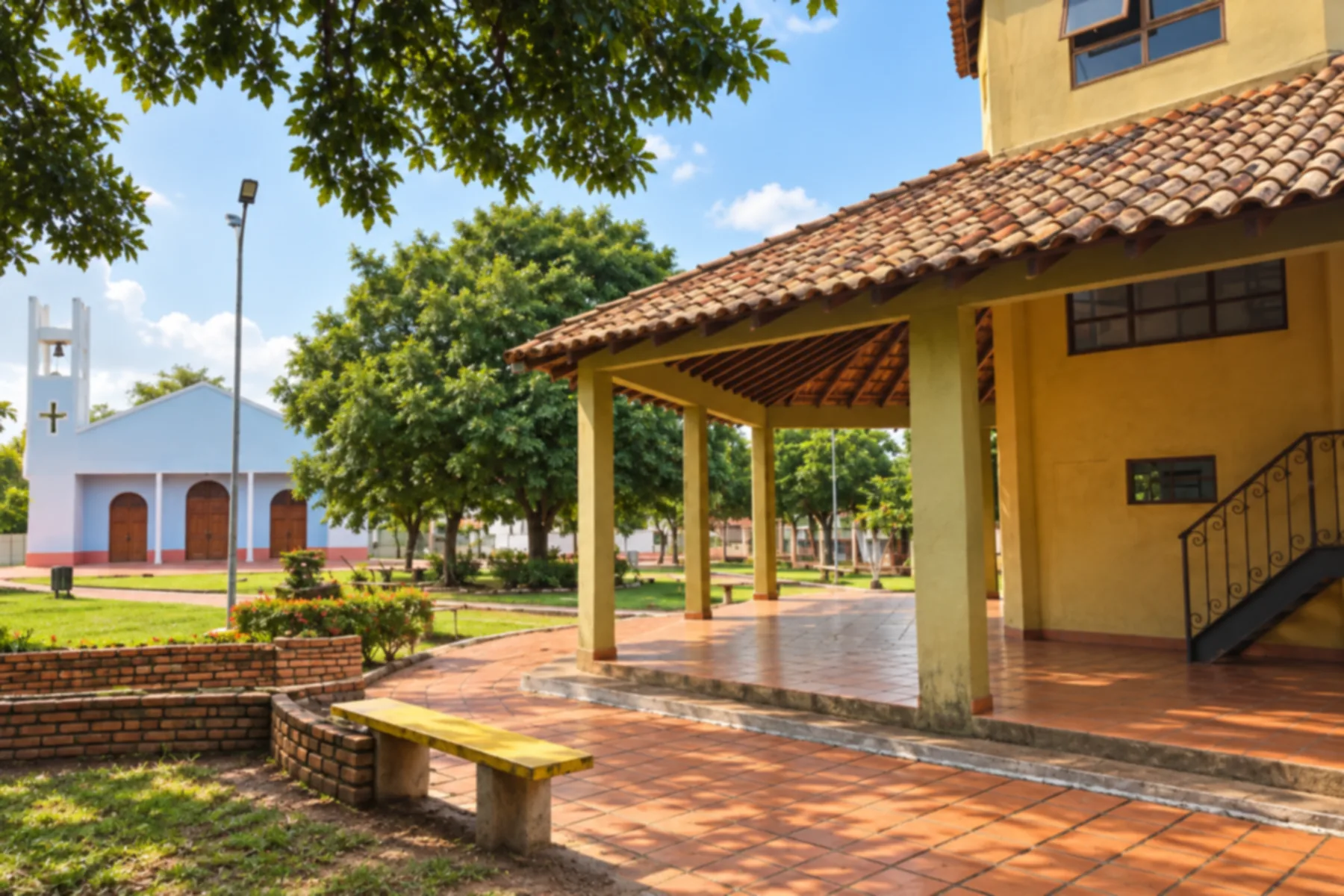 11 · MS
Bodoquena
Allows combining the landscapes of the Serra da Bodoquena with the regional trip.
→ Miranda From Bodoquena to Miranda, the connection uses MS-339. The road links the mountainous region to the pantanal base; follow the signage and be cautious of animal crossings.
-
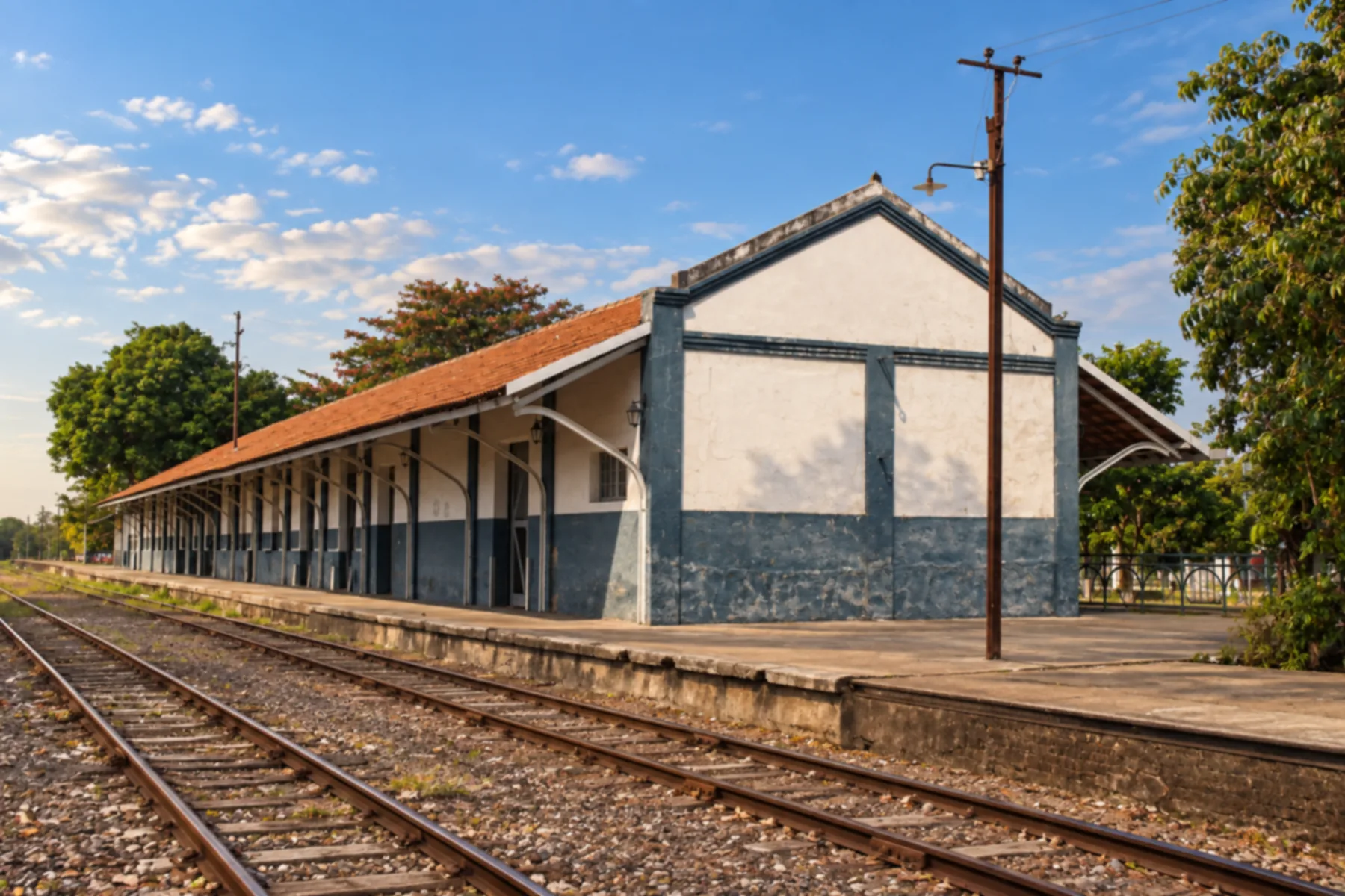 12 · MS
Miranda
One of the bases for tours through the Pantanal region.
→ Anastácio Miranda and Anastácio are connected by BR-262. The route crosses the pantanal region and requires caution due to wildlife; to visit Porto Canuto, arrange a separate local access.
-
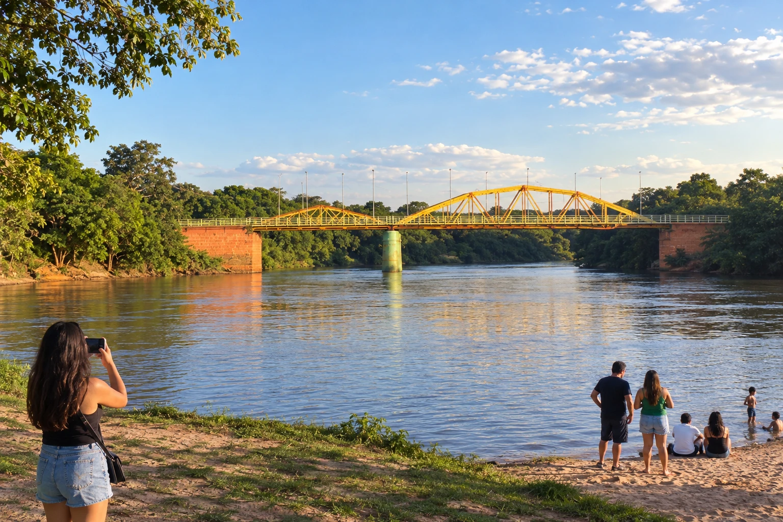 13 · MS
Anastácio
The Prainha by the Rio Aquidauana can be included in the urban tour.
→ Aquidauana Anastácio and Aquidauana lie on different banks of the Rio Aquidauana, connected by the Ponte da Amizade. Use the indicated urban crossing and consider the dedicated accesses to the neighboring town's historic center.
-
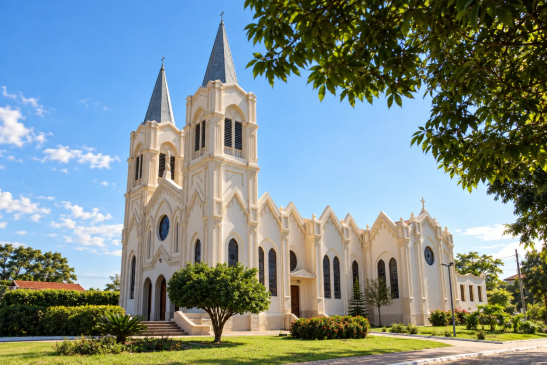 14 · MS
Aquidauana
Base in the pantanal region, adjacent to Anastácio.
→ Ladário From Aquidauana, take BR-262 and proceed via Miranda toward the Corumbá region, entering the access to Ladário. The journey crosses pantanal landscapes; avoid stopping on the shoulder to observe animals.
-
 15 · MS
Ladário
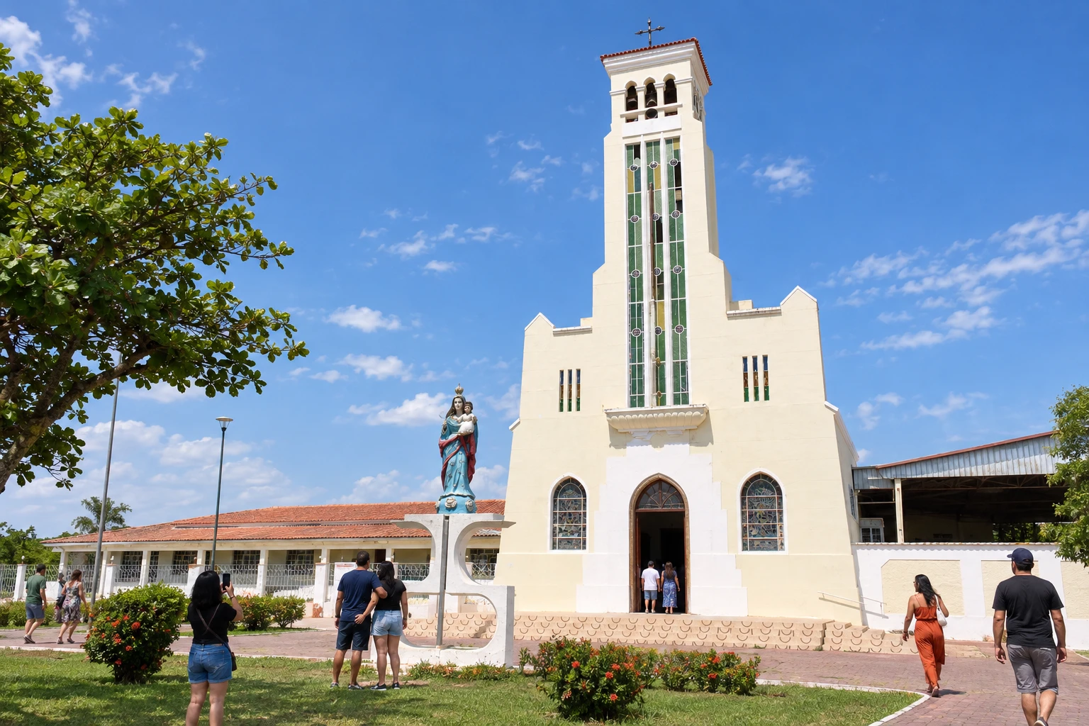
Municipality neighboring Corumbá, with heritage such as the Igreja Nossa Senhora dos Remédios.
→ Corumbá Ladário and Corumbá are neighboring cities with local connections between their urban areas. Decide whether arrival will be in downtown Corumbá or at the port, since river boarding requires a specific address.
-
 16 · MS
Corumbá
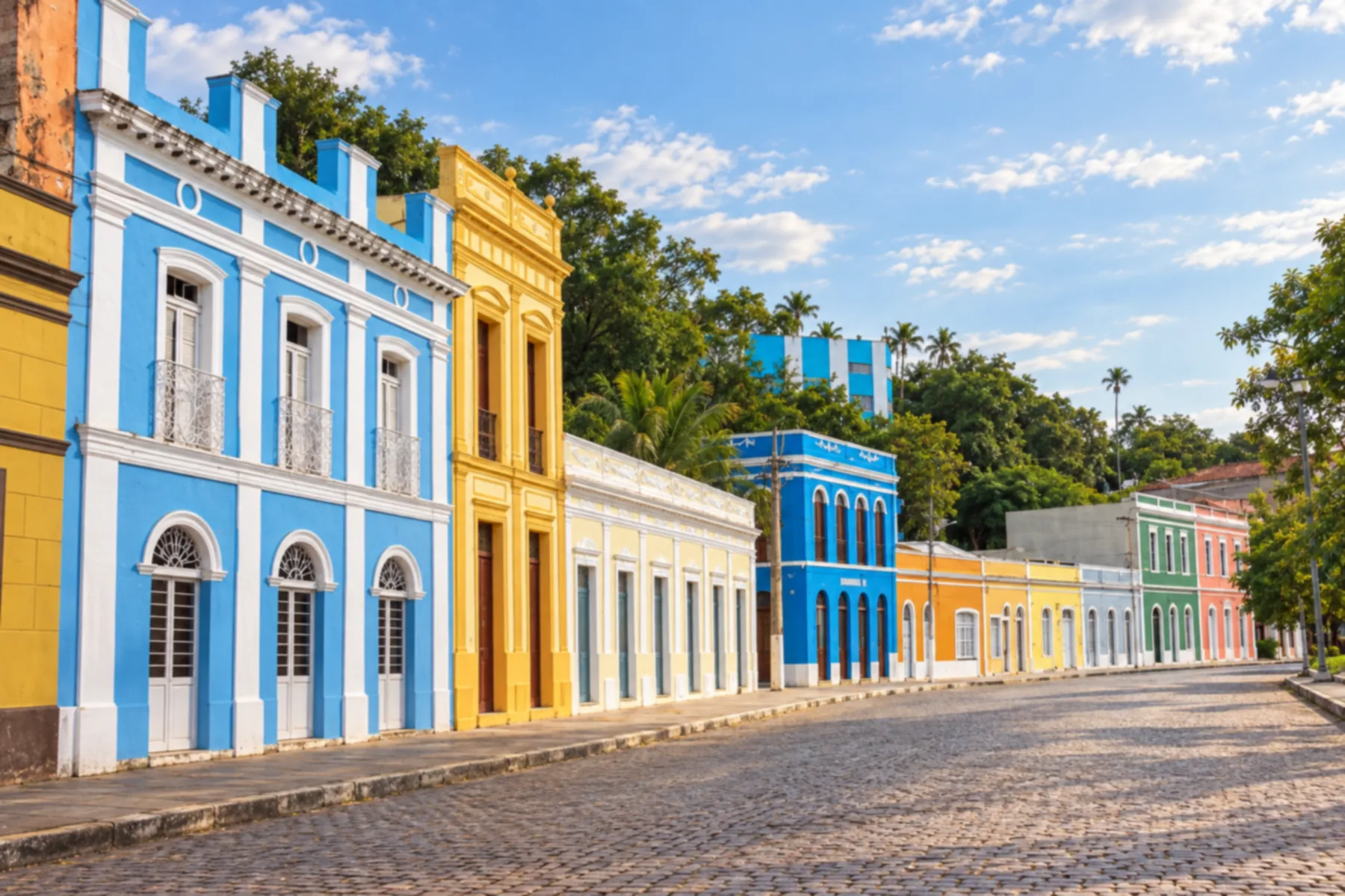
Pantanal and Rio Paraguai base to organize tours and conclude this route.
How many days
We suggest twelve to eighteen days to visit all the bases with pauses. For a shorter trip, choose the Pantanal 6Bonito section or part of the municipalities. The duration is an editorial suggestion.
Best time to go
Rain and river levels change access and landscapes. Choose dates according to the tours you want and confirm conditions with the bases; keep alternatives to reorganize nature activities.
How to travel it
Organize the road connections between municipalities and book nature tours separately. The diagram shows the sequence of bases and does not replace a navigation map. Check access points, return routes and the rules for each activity.
Who it's for
For those who want to combine river landscapes, nature tours and cities of Mato Grosso do Sul by organizing the trip from different bases.
Your questions
Frequently asked questions about the Pantanal 6Bonito Route
Is the route a continuous road?
No. It brings together municipalities and tourist regions linked by different road accesses.
Do I need to visit all sixteen municipalities?
No. You can choose the Pantanal–Bonito section or organize a broader trip through the south and the border.
Is the order mandatory?
No. This itinerary suggests a sequence of bases; it can be adapted to the tours and the arrival point.
Are the tours included in the legs between cities?
No. Tours to rivers, caves and other landscapes require specific access and time.
Is Campo Grande part of the itinerary?
Yes. The capital appears as a stop and an arrival reference for organizing the trip through the state.
Can I make the trip without driving?
Yes. Arrange transport between the bases and the access points for each tour. Check the connections before booking.