
Route · MG
Estrada Real 6 Caminho do Sabarabu�E7u
From Cocais to Glaura, the Sabarabu�E7u brings together mountain ranges, the Rio das Velhas and the heritage of Caet�E9 and Sabar�E1.
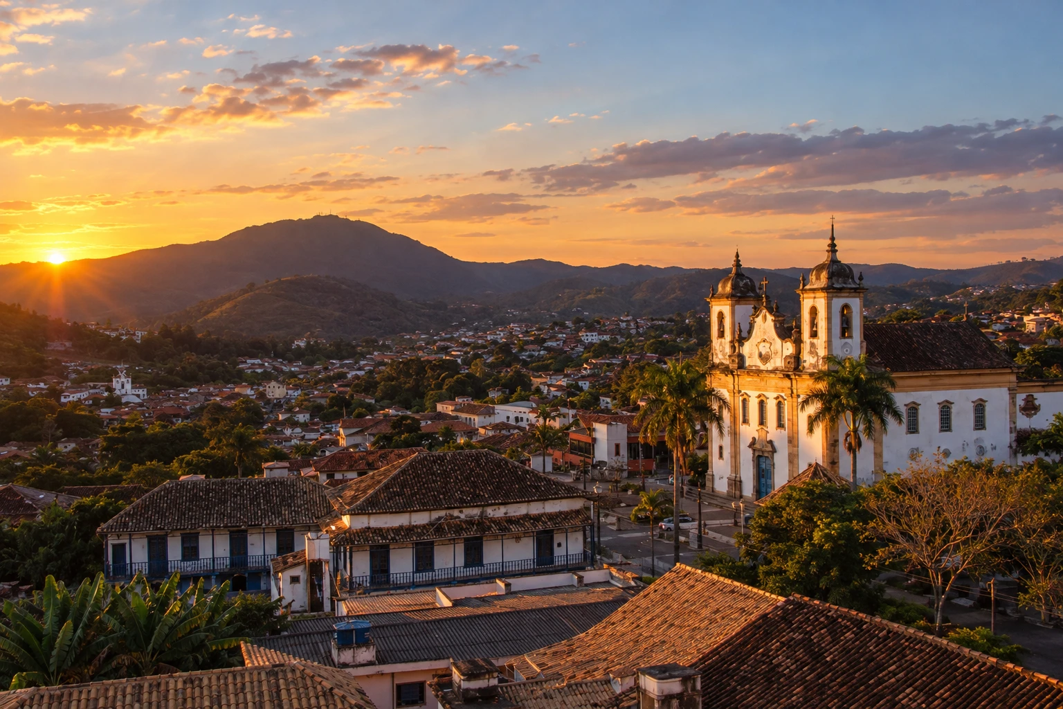
In the photo: Historic center of Caet�E9, Caet�E9, MG
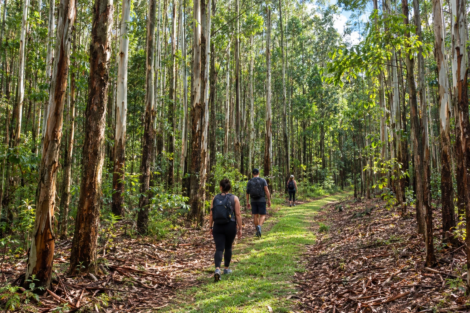
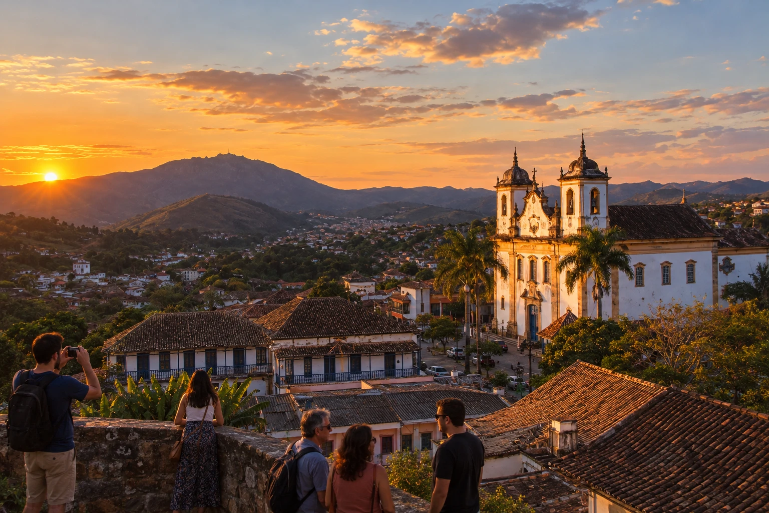
Illustrative images. The pictures in this guide are illustrations based on the real place, not photographs, and may differ from it.

The route
What the Estrada Real 6 Caminho do Sabarabu�E7u is
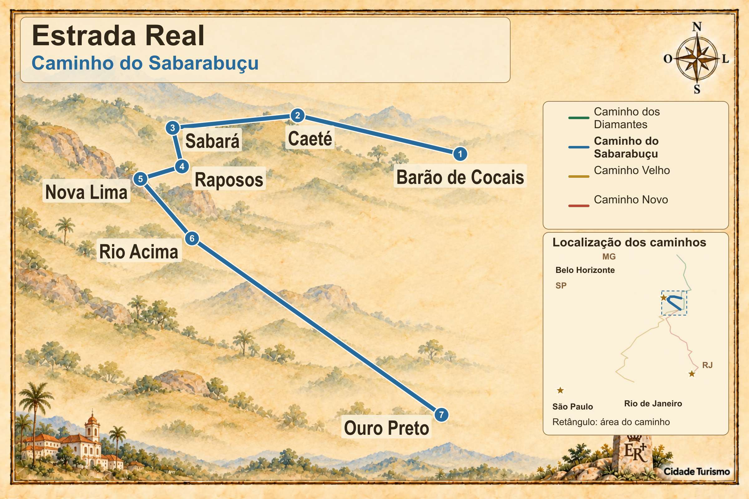
The Caminho do Sabarabu�E7u starts in Cocais, district of Bar�E3o de Cocais, and ends in Glaura, district of Ouro Preto. There are 160 official km between towns in Minas Gerais, with the Serra da Piedade and the Rio das Velhas valley as visual references.
Caet�E9 includes the passage through Morro Vermelho and access to the Santu�E1rio da Piedade. Sabar�E1 offers the Museu do Ouro and the Teatro Municipal, which help explain the history of mining and urban life. Allow time for these visits in addition to local transfers.
After Raposos, the route reaches Hon�F3rio Bicalho, a district of Nova Lima. Nova Lima’s municipal seat lies outside this historic sequence. On the link to Rio Acima, the Instituto Estrada Real posts a notice of a closed bridge over the C�F3rrego do Feij�E3o and advises following the MG-030.
The route features demanding trails and dirt roads, with different alternatives for vehicles, bicycles and hiking. Arriving in Glaura completes the official itinerary; continuing to downtown Ouro Preto adds another part to the trip.
The map
7 cities along the way
The journey
City by city
Distances and times are approximate: check before you set off.
-
 1 · MG
Barão de Cocais
Bar�E3o de Cocais starts the Sabarabu�E7u at the district of Cocais. The fork separates this route from the Diamantes path and leads toward Caet�E9.
→ Caeté The Caminho do Sabarabu�E7u splits from the Caminho dos Diamantes in Cocais, district of Bar�E3o de Cocais, and continues to Caet�E9. The stage includes climbs and passages through eucalyptus groves, with the Serra da Piedade as a visual reference; check the fork so you don't continue on the other route.
-
 2 · MG
Caeté
Caet�E9 brings together the Serra da Piedade and the passage through Morro Vermelho. Visiting the sanctuary atop the ridge requires a specific access in addition to the stage toward Sabará.
→ Sabará Between Caet�E9 and Sabar�E1, the passage through Morro Vermelho is part of the route. The original trail has tall vegetation and is difficult to navigate, and the alternative uses dirt roads, including an unmarked section; prepare navigation before setting out.
-
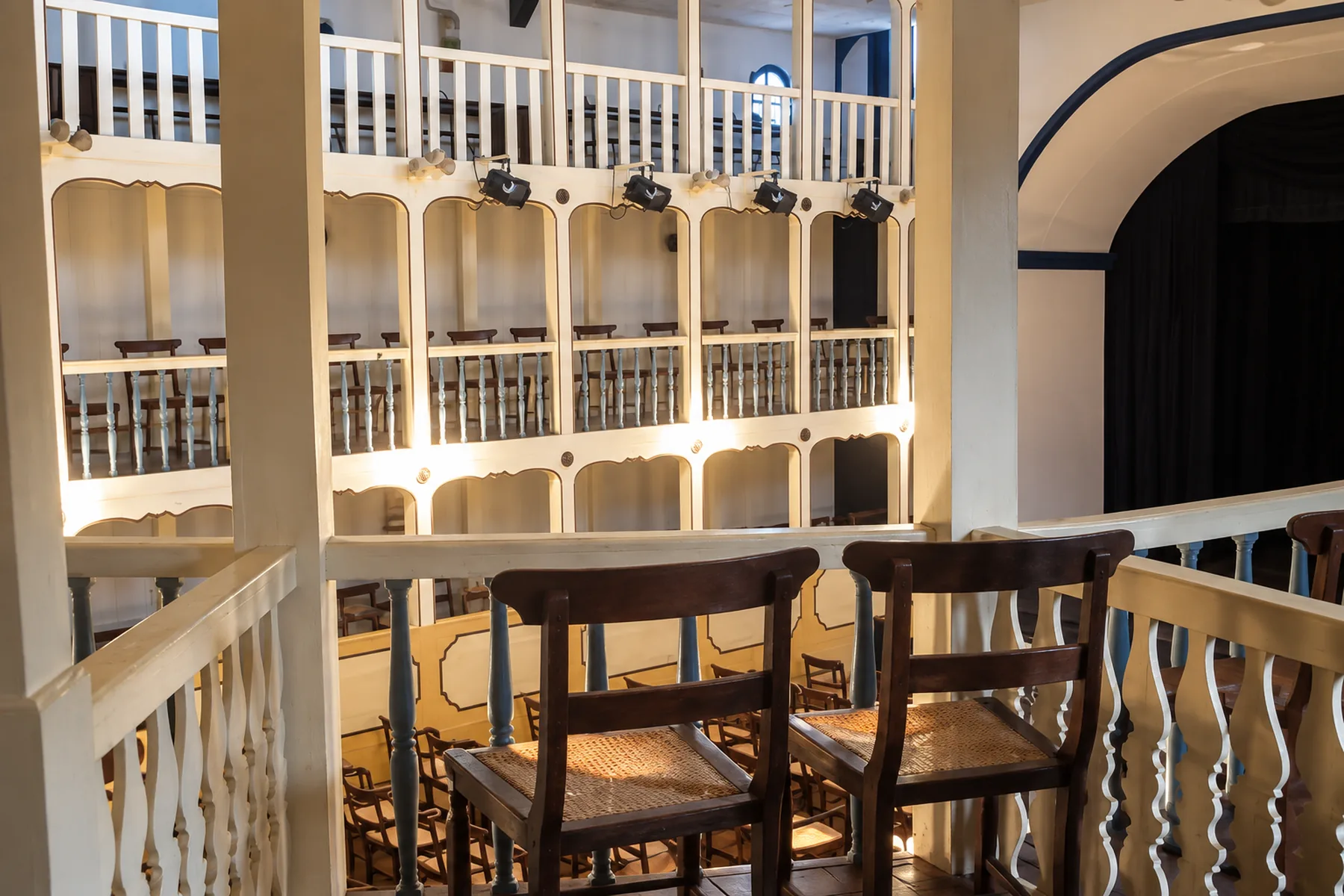 3 · MG
Sabará
Sabar�E1 allows visits to the Museu do Ouro and the Teatro Municipal. The exit toward Raposos passes through the Arraial Velho, on a link that includes a trail with no motor vehicle access.
→ Raposos From Sabar�E1 to Raposos, the historic axis passes through the Arraial Velho and combines dirt, trail and a paved section. The trail section does not admit motor vehicles, not even 4x4s; drivers need the alternative connection between the towns.
-
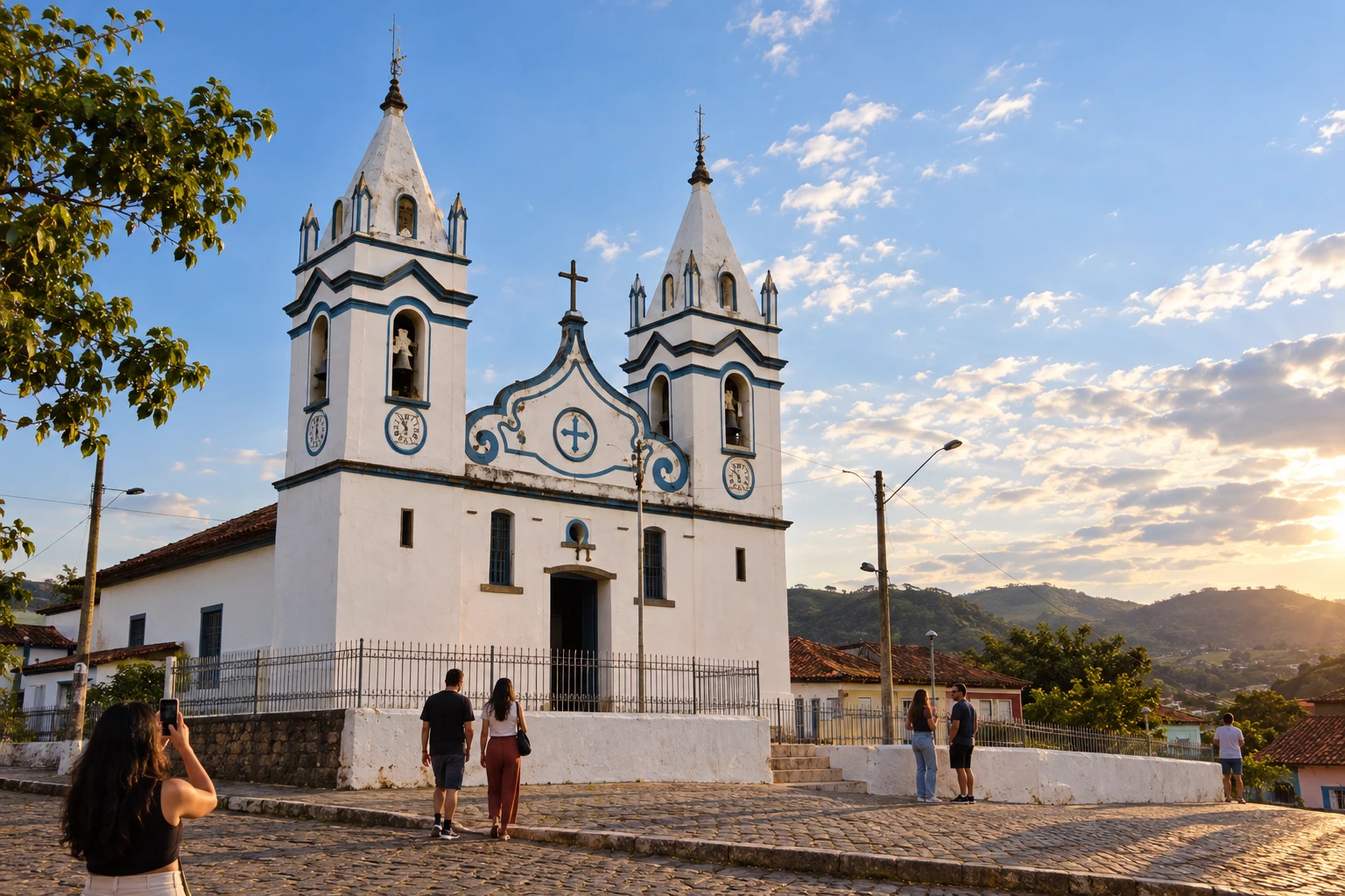 4 · MG
Raposos
Raposos comes before Hon�F3rio Bicalho, in the municipality of Nova Lima. The trail on this link has narrow passages and steep slopes; use the alternative provided for your mode.
→ Nova Lima The continuation from Raposos reaches Hon�F3rio Bicalho, a district of Nova Lima, via a route with narrow trail, steep climbs and descents. That trail is intended for hiking and not for cars; bicycles and riders should also use the advised alternative for the stage.
-
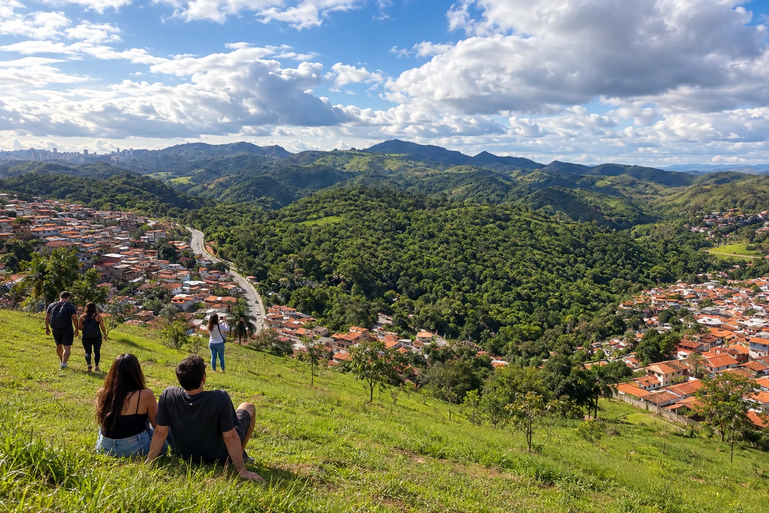 5 · MG
Nova Lima
Nova Lima appears via the district of Hon�F3rio Bicalho, with no compulsory visit to the city seat. The Instituto Estrada Real reports a closed bridge on the continuation to Rio Acima and advises a detour via the MG-030.
→ Rio Acima From Hon�F3rio Bicalho, a district of Nova Lima, follow the alternative indicated by the IER on the MG-030 toward Rio Acima. The bridge over the C�F3rrego do Feij�E3o is still reported closed for maintenance; do not use the blocked crossing.
-
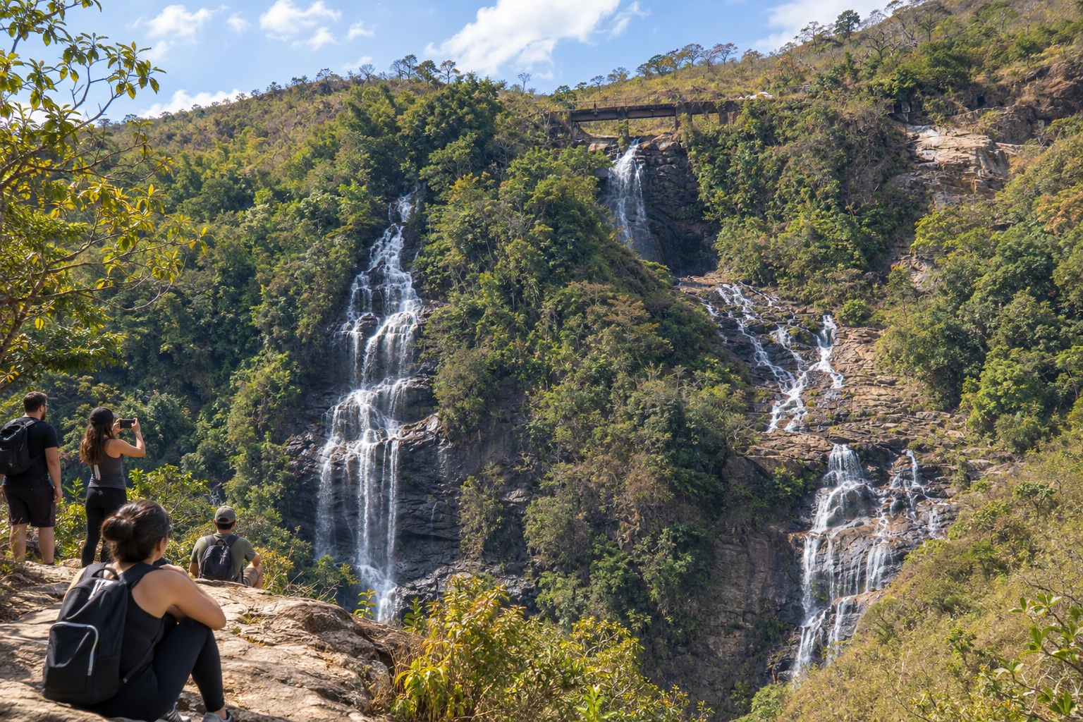 6 · MG
Rio Acima
Rio Acima precedes the arrival at Glaura, over dirt roads with climbs and descents. There is little shade on the high ridge; plan supplies and the duration of the stage.
→ Ouro Preto From Rio Acima, follow the dirt and paved stages to Glaura, a district of Ouro Preto and the official end of the Sabarabu�E7u. Going to the center of Ouro Preto extends the trip along the Caminho Velho and includes other accesses that require their own navigation.
-
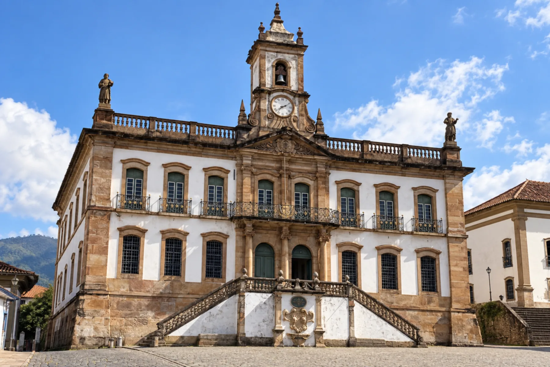 7 · MG
Ouro Preto
Ouro Preto receives the official end of the Sabarabu�E7u at Glaura, a district of the municipality. The link to the Ouro Preto municipal seat is an extension of the trip, with other stages of the Caminho Velho.
How many days
Plan Cocais, Caet�E9 and Sabar�E1 for a first trip of three to four days, allowing time for heritage visits and local transfers. Completing all trails to Glaura requires timing adjusted to the effort, available support and detours, rather than following an urban-style schedule.
Best time to go
Choose dates after checking the conditions of the Morro Vermelho, Raposos and Hon�F3rio Bicalho trails. Rain can make navigation and passage on narrow paths difficult. For views of the Serra da Piedade, also consider the forecasted visibility.
How to travel it
Begin in Cocais and finish in Glaura, choosing the appropriate alternative on each trail section. The Raposos�93Hon�F3rio Bicalho link has restrictions by mode; between Hon�F3rio Bicalho and Rio Acima, follow the IER guidance to detour via the MG-030. Plan the onward trip to the Ouro Preto municipal seat separately.
Who it's for
People interested in historical mining, the museums and churches of Caet�E9 and Sabar�E1, and crossings around the Rio das Velhas.
Length
About 160 km
Your questions
Frequently asked questions about the Estrada Real 6 Caminho do Sabarabu�E7u
Why are Bar�E3o de Cocais and Ouro Preto the endpoints?
The start is in Cocais, district of Bar�E3o de Cocais, and the end in Glaura, district of Ouro Preto. Stops are presented by the municipality name.
Does the passage require entering Nova Lima's municipal seat?
The historic stretch uses Hon�F3rio Bicalho, a district of Nova Lima. Visiting the municipal seat requires leaving this axis and organizing a separate transfer.
What detour does the Instituto report after Hon�F3rio Bicalho?
The bridge over the C�F3rrego do Feij�E3o, on the link to Rio Acima, is reported closed for maintenance. The published guidance is to follow the MG-030.
Does the trail from Raposos to Hon�F3rio Bicalho allow cars?
The narrow trail is recommended for hiking. For car, bicycle or horseback travel, follow the alternative described in the stage, respecting access restrictions.
Does the 160 km length reach the center of Ouro Preto?
The official length refers to Cocais�93Glaura. Continuing from Glaura to the Ouro Preto municipal seat is an addition to the official route.