
Route · CE
Rota Sol Poente
From Fortaleza to Amontada, the western coast of Ceará combines dunes, fishing communities and estuaries, with access to Cumbuco, Taíba, Lagoinha and Flecheiras.
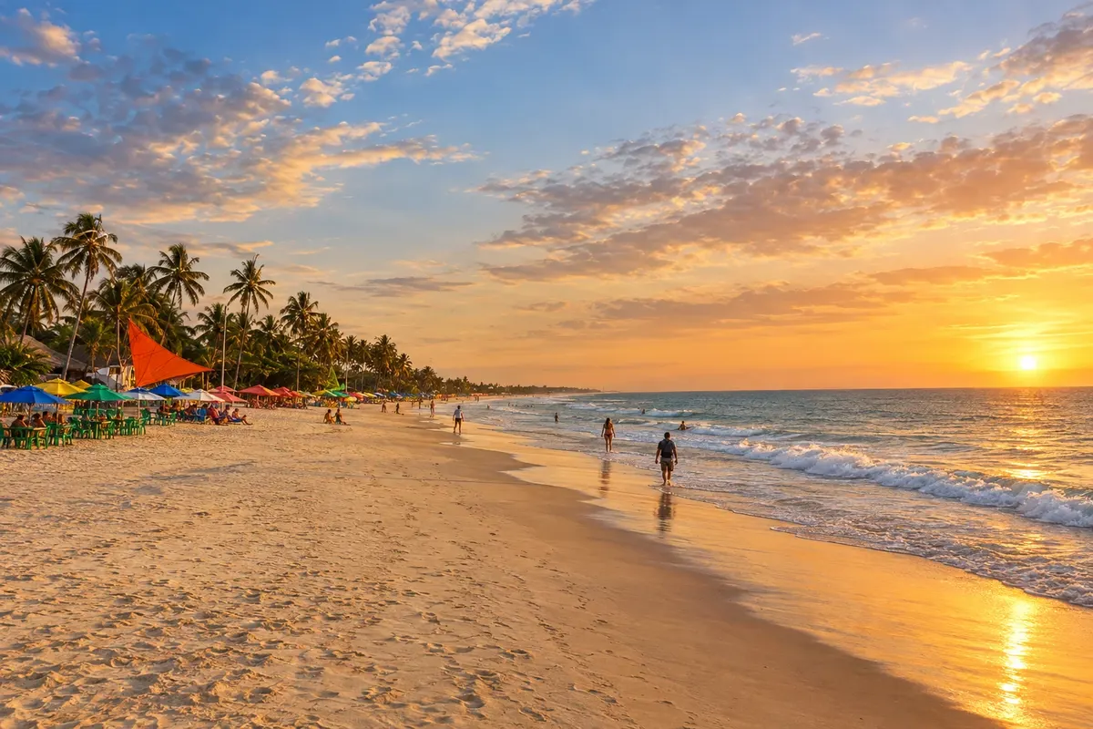
In the photo: Praia do Cumbuco, Caucaia, Ceará
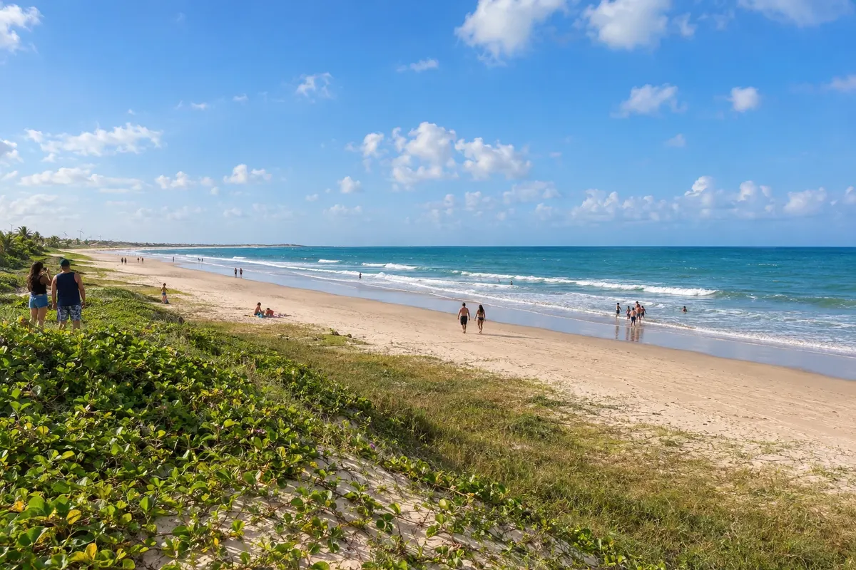
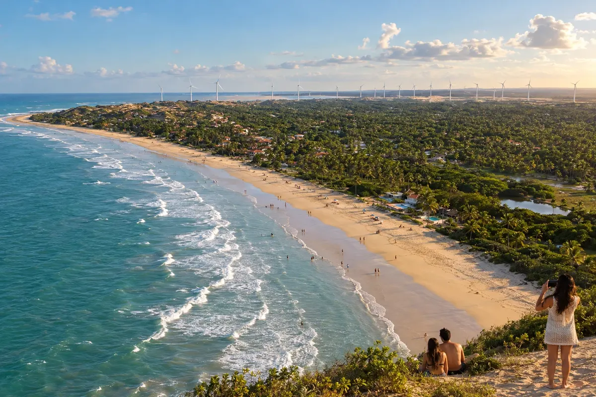
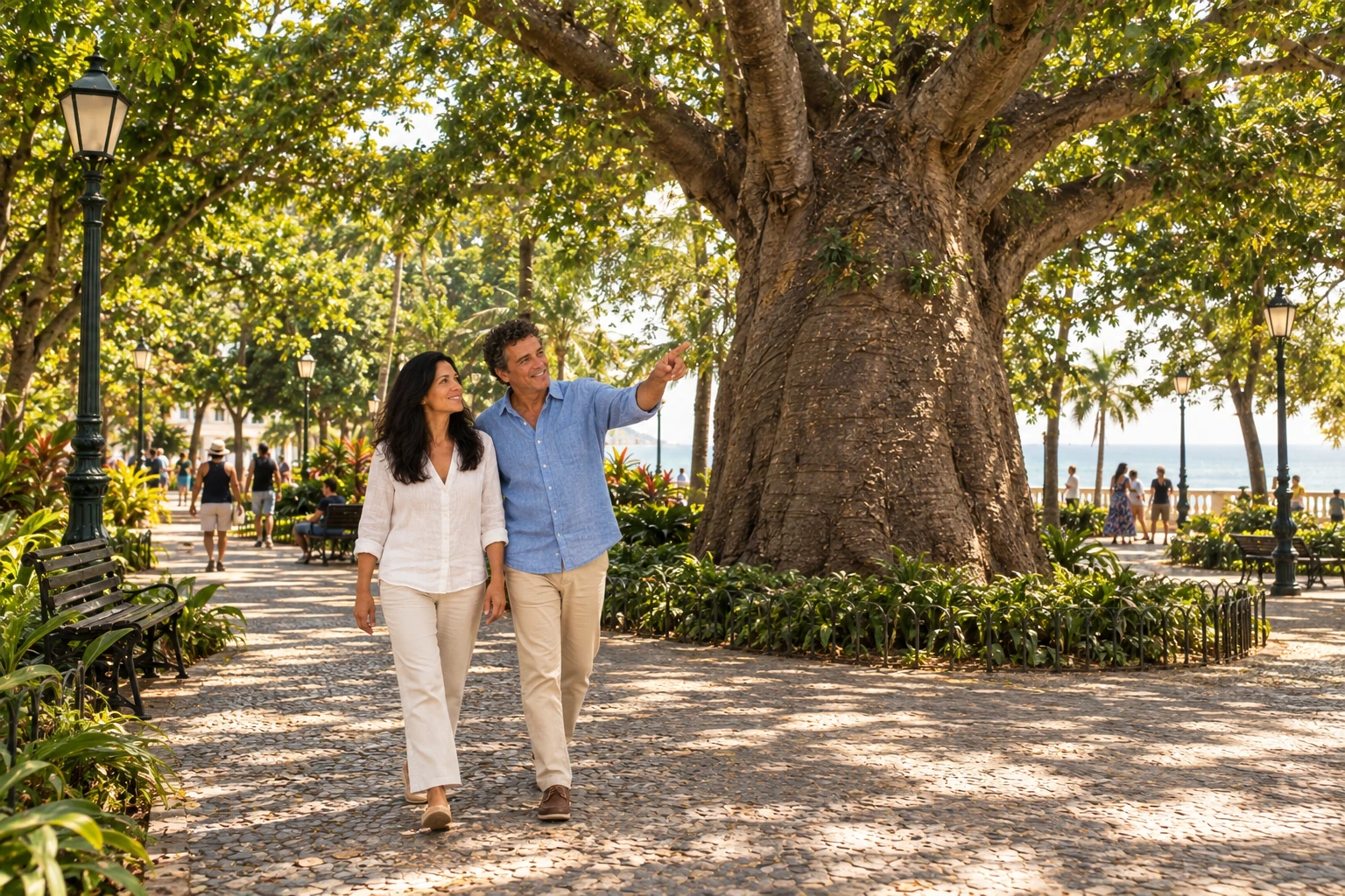
Illustrative images. The pictures in this guide are illustrations based on the real place, not photographs, and may differ from it.

The route
What the Rota Sol Poente is
The Rota Sol Poente connects Fortaleza to Amontada via the road corridor of Ceará's western coast. The CE-085 serves as the main axis, with access roads to the coast and local connections to the beaches. Cumbuco, Taíba, Lagoinha, Flecheiras, Guajiru, Mundaú, Baleia and Icaraí de Amontada are reference points on this trip.
The route alternates between dune areas, lagoons, fishing communities and urban stretches. The Curu, Mundaú and Aracatiaçu rivers contribute to the landscape of the coastal stages. Wind sports depend on daily conditions, instruction and proper equipment; exploring the region does not require taking part in those activities.
The selected itinerary ends in Amontada. Fortaleza and seven municipalities make up the stops; continuation to Itarema, Acaraú or Jericoacoara belongs to other routes and is not included.
The map
8 cities along the way
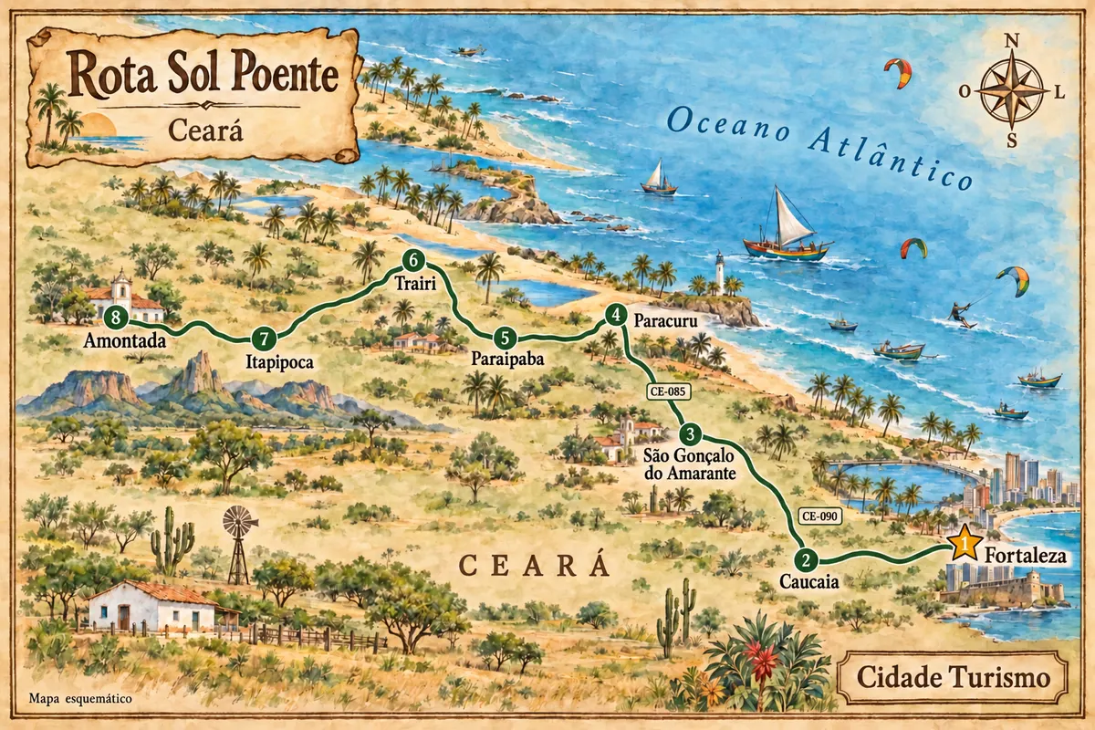
Mapa: @svg-maps/brazil, CC BY 4.0
The journey
City by city
Distances and times are approximate: check before you set off.
-
 1 · CE
Fortaleza
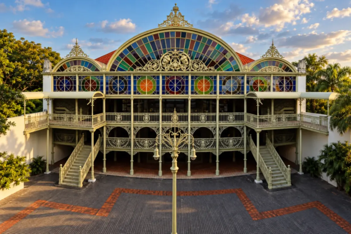
Fortaleza is the capital of Ceará, with the Theatro José de Alencar in the Centro and the Dragão do Mar cultural complex near Praia de Iracema. Mucuripe preserves links to fishing and navigation along the waterfront. The route westward uses urban access roads toward Caucaia.
→ Caucaia Leave Fortaleza's urban area for the coast of Caucaia. The CE-090 corridor reaches Icaraí and Cumbuco; the municipal seat and the connection with the CE-085 follow different access routes.
-
 2 · CE
Caucaia
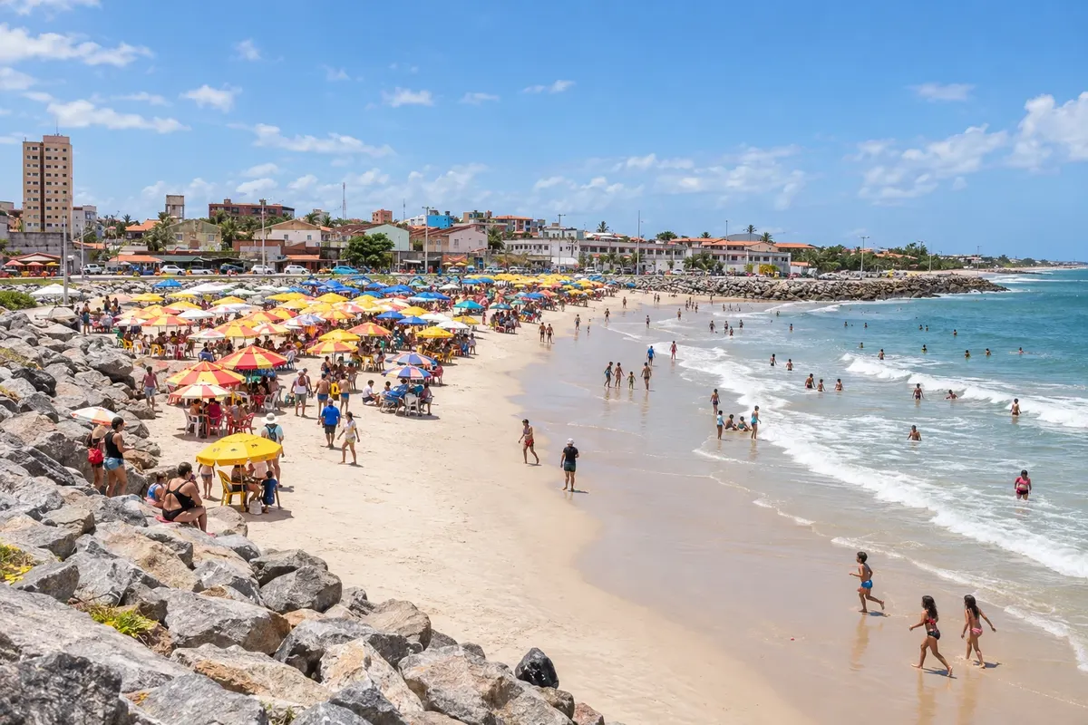
Caucaia includes Cumbuco between dunes and sea, as well as the beaches of Icaraí, Pacheco and Iparana. The Lagoa do Cauípe also features in wind-sport routes. The municipality's coast constitutes the first stage after Fortaleza, with separate entrances for each hub.
→ São Gonçalo do Amarante From Caucaia, use the CE-085 and the coastal branches toward Pecém or Taíba in São Gonçalo do Amarante. The chosen beach determines the local entrance; the port complex does not equate to a tourist access point.
-
 3 · CE
São Gonçalo do Amarante
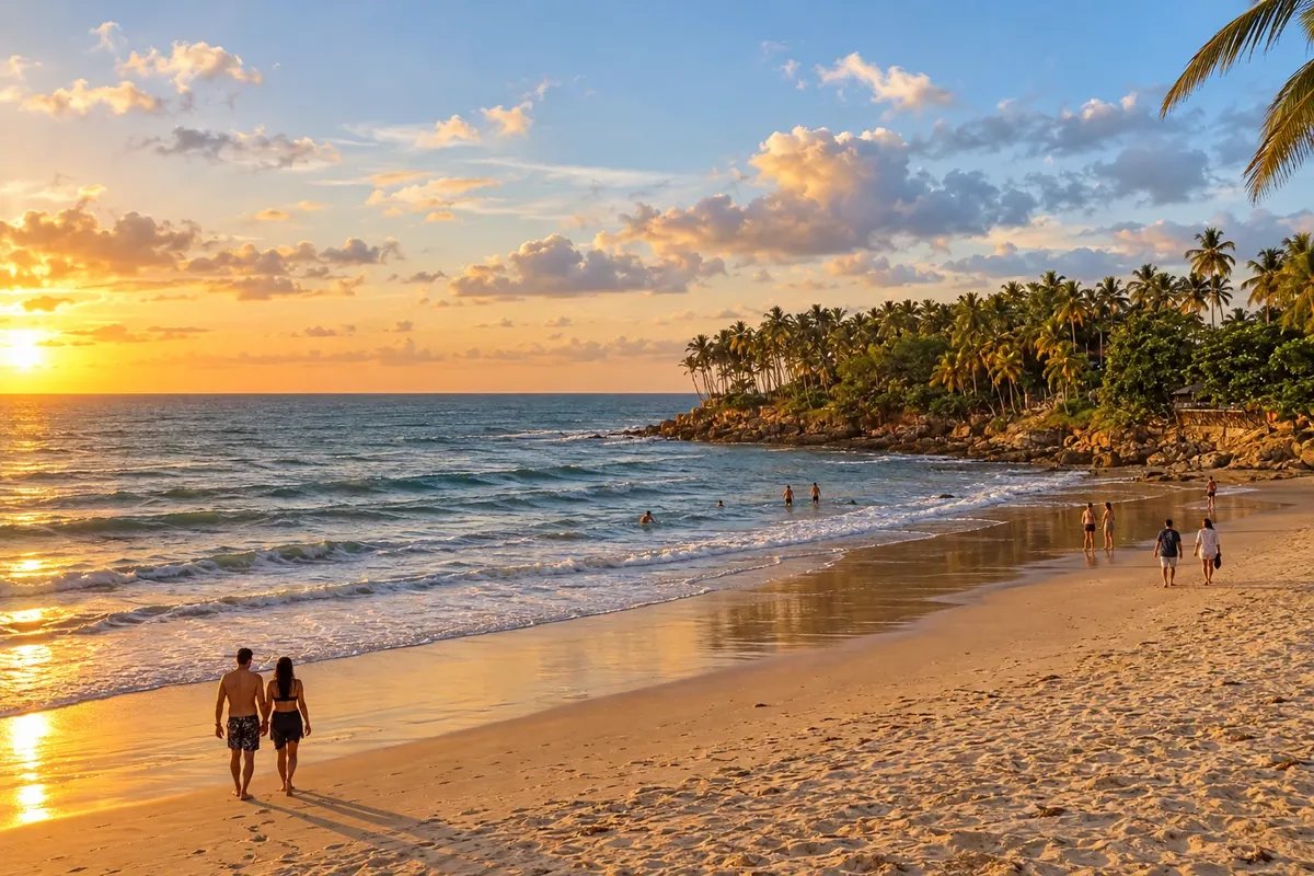
São Gonçalo do Amarante includes the village and Praia da Taíba and the coastal community of Pecém. The port contributes to the local economy, but it is not treated as an open tourist attraction. The beach stage focuses on these hubs, as well as the connection to the municipal seat.
→ Paracuru Return to the CE-085 and follow the access to Paracuru via the CE-341. The main corridor lies inland from the beaches; Pedra Rachada and the town center have their own local movements.
-
 4 · CE
Paracuru
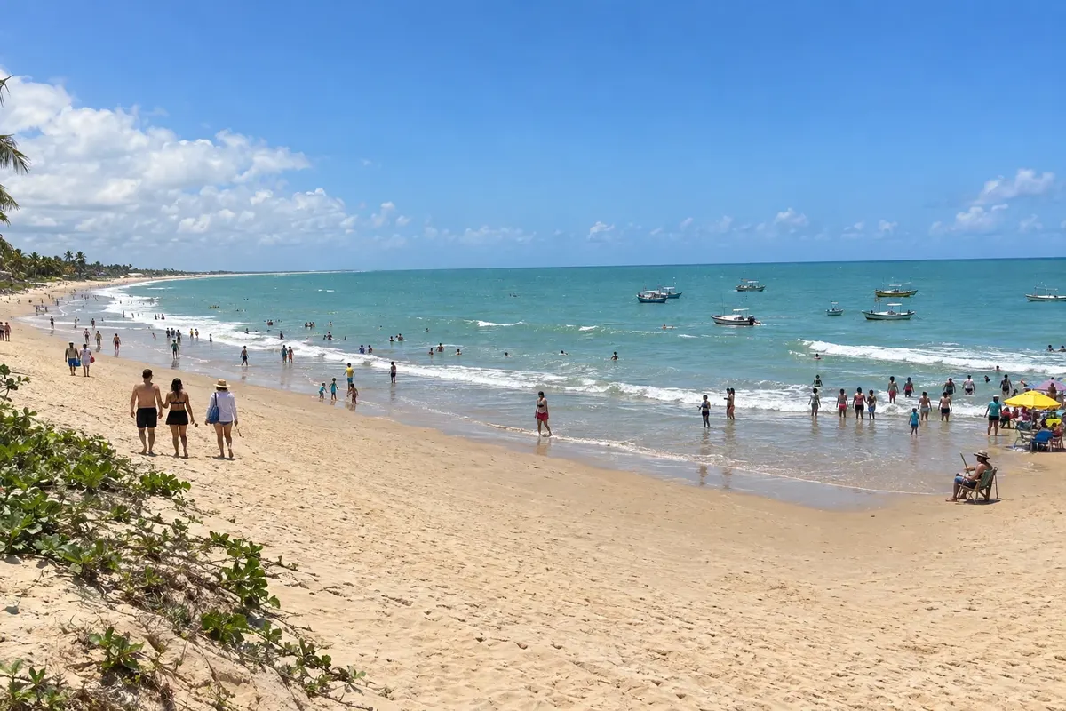
Paracuru features Praia da Pedra Rachada and Praia da Bica near the urban center. A Barra is connected to the mouth of the Curu River and Lagoa Grande adds a freshwater environment. The visit is distributed between the coast and local access points.
→ Paraipaba From Paracuru, return to the CE-085 and use the entrance to Paraipaba. Lagoinha is reached by a different coastal access, while the Curu estuary lies on the boundary between the two municipalities.
-
 5 · CE
Paraipaba
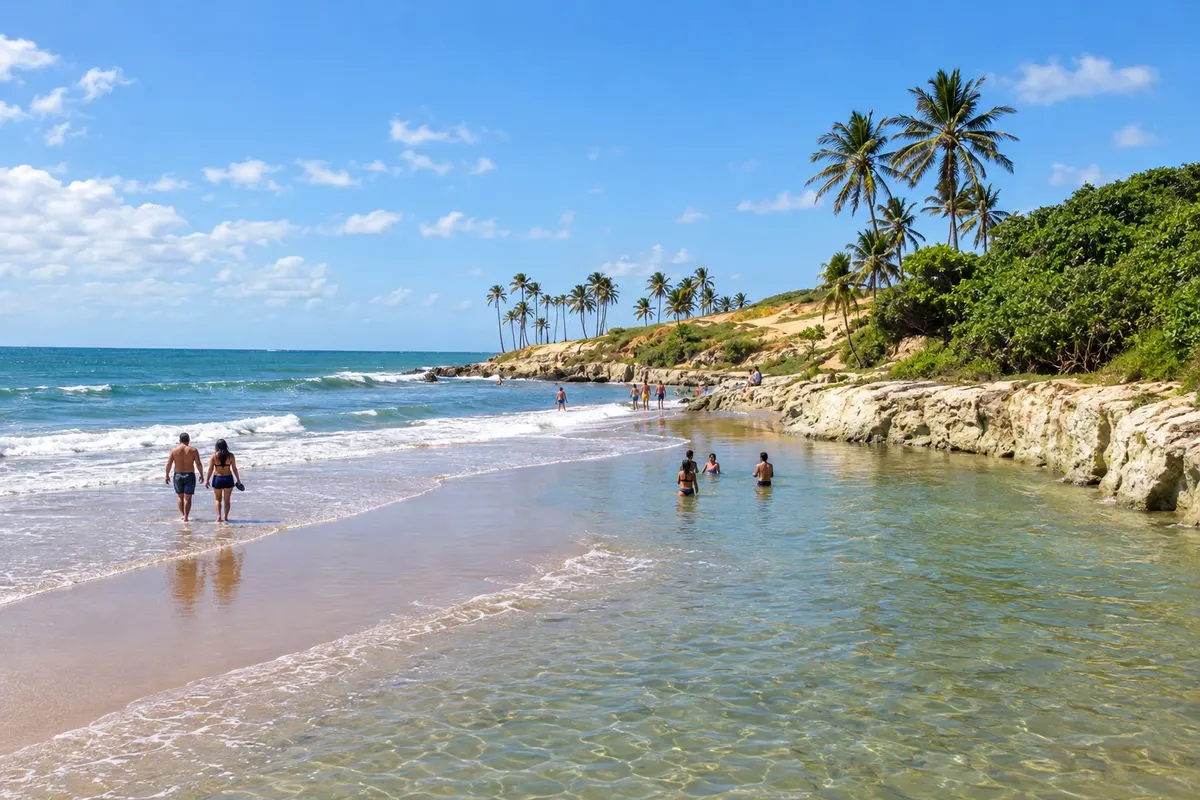
Paraipaba encompasses the Lagoinha cove, Praia de Capim Açu and access to Lagoa das Almécegas on the border with Trairi. Coconut cultivation characterizes its irrigated area along the Curu. Lagoinha is a locality of the municipality, with its own circulation between the village and the beach.
→ Trairi The CE-085 links the Paraipaba corridor to the municipality of Trairi. Flecheiras, Guajiru, Emboaca and Mundaú require choosing branch roads; direct crossing of the estuaries over the sand should not be assumed.
-
 6 · CE
Trairi
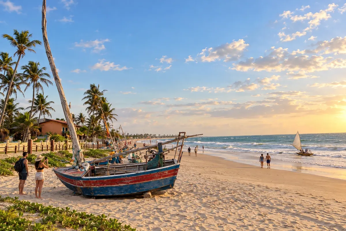
Trairi brings together Flecheiras and Guajiru on the coast, as well as Emboaca and Mundaú. The Mundaú River estuary marks the western end of this stage. The communities have separate accesses, and activities in the sea or river should be confirmed with the responsible parties.
→ Itapipoca Follow the CE-085 axis to the accesses for Itapipoca. The CE-168 connects the corridor to Praia da Baleia; entering the municipal seat leads inland, different from the beach route.
-
 7 · CE
Itapipoca
Itapipoca has Praia da Baleia and Praia do Maceió on its coastal strip, while the Serra de Arapari adds another environment to the territory. Fossils found in the municipality are part of its paleontological heritage. The municipal seat is inland; the coastal stage requires choosing the beach access.
→ Amontada From Itapipoca's strip, continue along the road corridor and choose the access to Amontada's coast. Icaraí and Moitas lie north of the seat; the itinerary ends in the municipality, without extension to Jericoacoara.
-
 8 · CE
Amontada
Amontada houses Icaraí de Amontada, known as Icaraizinho, and Moitas along the Aracatiaçu River. Caetanos de Baixo is another coastal hub. The municipal seat is inland, and the end of the trip can be organized in this municipality's beach communities.
Travelers' photos
Rota Sol Poente through the eyes of those who went



How many days
Allow six to eight days, spreading overnight stays across the chosen coastal communities and accounting for access routes off the main corridor.
Best time to go
February to May is the main rainy season; from July to December, rainfall generally decreases. For kitesurfing in Cumbuco, Taíba and Icaraí de Amontada, the wind season usually runs from August to January, peaking between September and November. On outings across dunes and lagoons, the terrain and water change with the rains; at the reefs of Flecheiras, low tide guides the visit. July, and December through February, tend to see more visitors.
The seasons shown are the most usual ones; nature doesn't always follow the calendar.
How to travel it
Use the CE-085 as the main connecting axis and take branch roads to the coastal hubs. Cumbuco can be reached via the CE-090 corridor; Praia da Baleia uses access from the CE-168. Routes to the seat of Amontada and to Icaraí diverge: plan the beach as a local destination. Do not assume river crossings or travel over sand.
Who it's for
For travelers interested in beaches, fishing communities, dunes and road travel between the capital and the Amontada coast.
Your questions
Frequently asked questions about the Rota Sol Poente
Do I need to practice kitesurf to make the trip?
No. Fishing communities, dunes and beaches can also be explored on land tours. If you want to practice a sport, seek instruction and an assessment of conditions from professionals.
Can I drive on the sand in all stages?
Plan the main connection via highways. Driving on beaches and dunes has specific conditions and rules that must be checked locally.
Where should I distribute the overnight stays?
Use the capital for arrival and choose bases in the coastal centers where you plan to stay. Trairi and Amontada have several different communities; confirming the location prevents booking far from the desired beach.
Is Jericoacoara part of this itinerary?
The chosen segment ends in Amontada. An extension to Jericoacoara requires its own planning and is not included among the eight stops on this route.