
Route · BA
Costa do Dendê
From the Rio Una to the Península de Maraú, the route combines towns of the Baixo Sul, beaches, heritage and crossings along the historic Costa do Dendê.
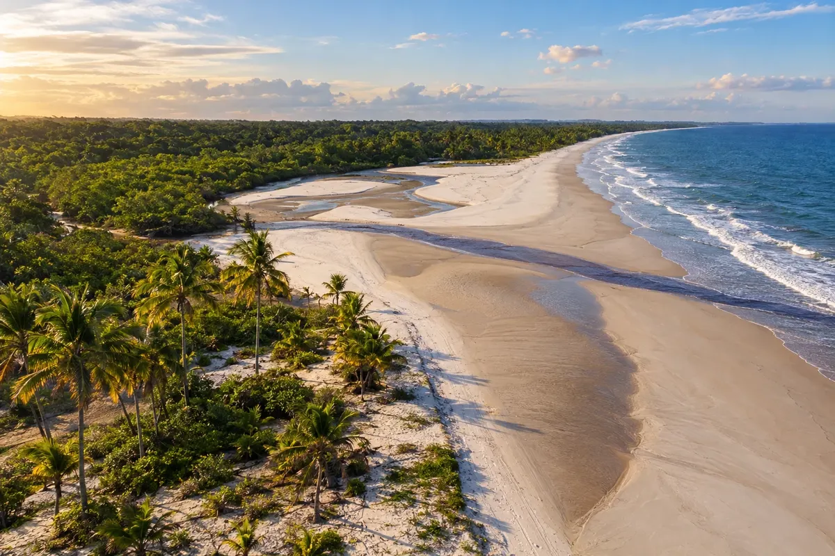
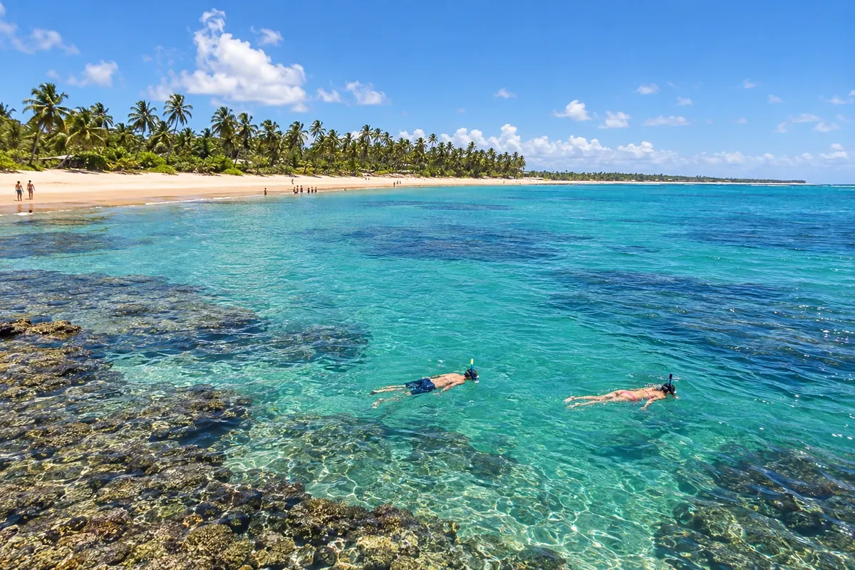
In the photo: Praia de Pratigi, in Ituberá, on the route of the historic Costa do Dendê.
Illustrative images. The pictures in this guide are illustrations based on the real place, not photographs, and may differ from it.

The route
What the Costa do Dendê is
This itinerary follows the historic outline of the Costa do Dendê across eight municipalities: Valença, Cairu, Taperoá, Nilo Peçanha, Ituberá, Igrapiúna, Camamu and Maraú. Dendê appears in rural production and cuisine, while the estuaries organize the relationship between the mainland towns and the island communities.
The BA-001 covers the continental stages. Cairu requires a specific spur road to the town seat or boat crossings to Morro de São Paulo and Boipeba. Further south, Ituberá allows combining the Cachoeira da Pancada Grande with Pratigi and Barra de Serinhaém. Camamu features its historic center and serves as an embarkation point for trips across the bay. Arrival to Barra Grande by launch and the overland access to the peninsula are different options that should be coordinated with the chosen transport.
Maraú is part of this historical sequence, although today it belongs to the Costa do Cacau. The change in classification does not alter the peninsula's geographic link with the Baía de Camamu. Reserve separate stages for maritime transfers and for onshore visits, rather than trying to visit all locations in a single road advance.
The map
8 cities along the way
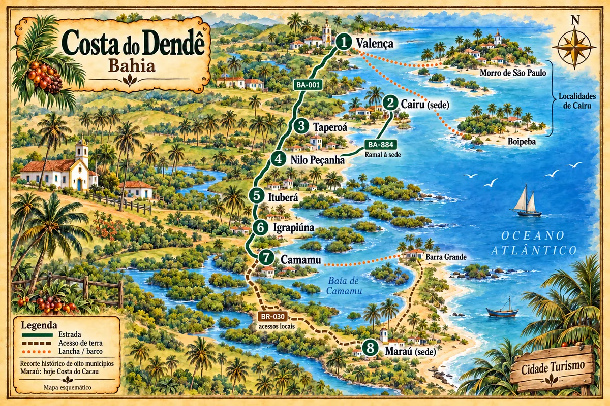
Mapa: @svg-maps/brazil, CC BY 4.0
The journey
City by city
Distances and times are approximate: check before you set off.
-
 1 · BA
Valença
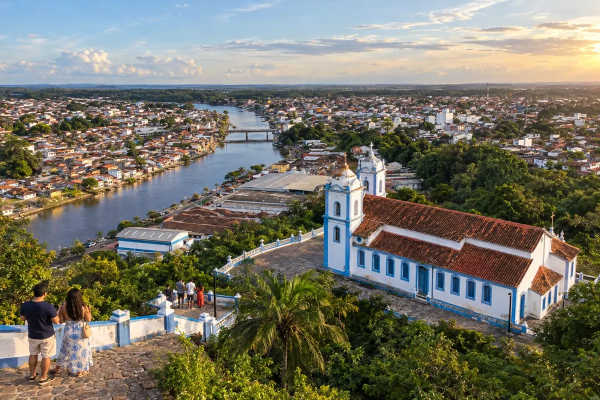
The Rio Una crosses Valença, whose center preserves buildings linked to the former textile industry. Guaibim and Ponta do Curral make up its stretch of beaches, while the Igrejas da Matriz and do Amparo mark different points of the town.
→ Cairu The town seat of Cairu has overland access via the BA-884 spur from the BA-001, in the Nilo Peçanha region. For Morro de São Paulo and Boipeba, arrange embarkation in Valença and leave the car on the mainland. These are visit alternatives within the same municipality.
-
 2 · BA
Cairu
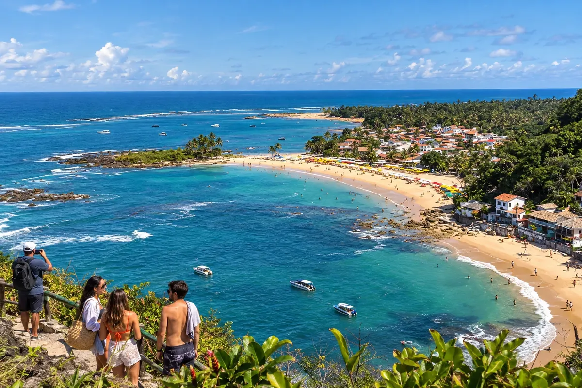
Cairu brings together the historic town seat, with the Convento de Santo Antônio, and localities of the archipelago, such as Morro de São Paulo and Boipeba. The islands' beaches and the town seat's religious heritage call for separate stages, combining land and sea access.
→ Taperoá After the island stage, return to Valença by boat and continue to Taperoá via the BA-001. If the visit was to Cairu's town seat by car, return via the BA-884 to the BA-001; this option requires backtracking to rejoin the mainland route.
-
 3 · BA
Taperoá
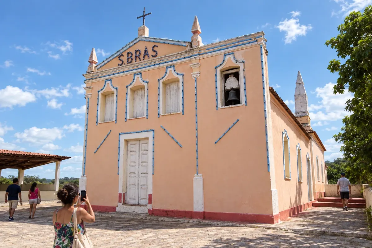
Dendê cultivation is part of the rural landscape and production of Taperoá. In the urban core, the Igreja de São Brás and the relationship with the estuary's channels help to understand the municipality's settlement.
→ Nilo Peçanha The BA-001 links Taperoá to Nilo Peçanha across the mainland. The Cairu spur and the accesses to the estuary communities are deviations from the main axis.
-
 4 · BA
Nilo Peçanha
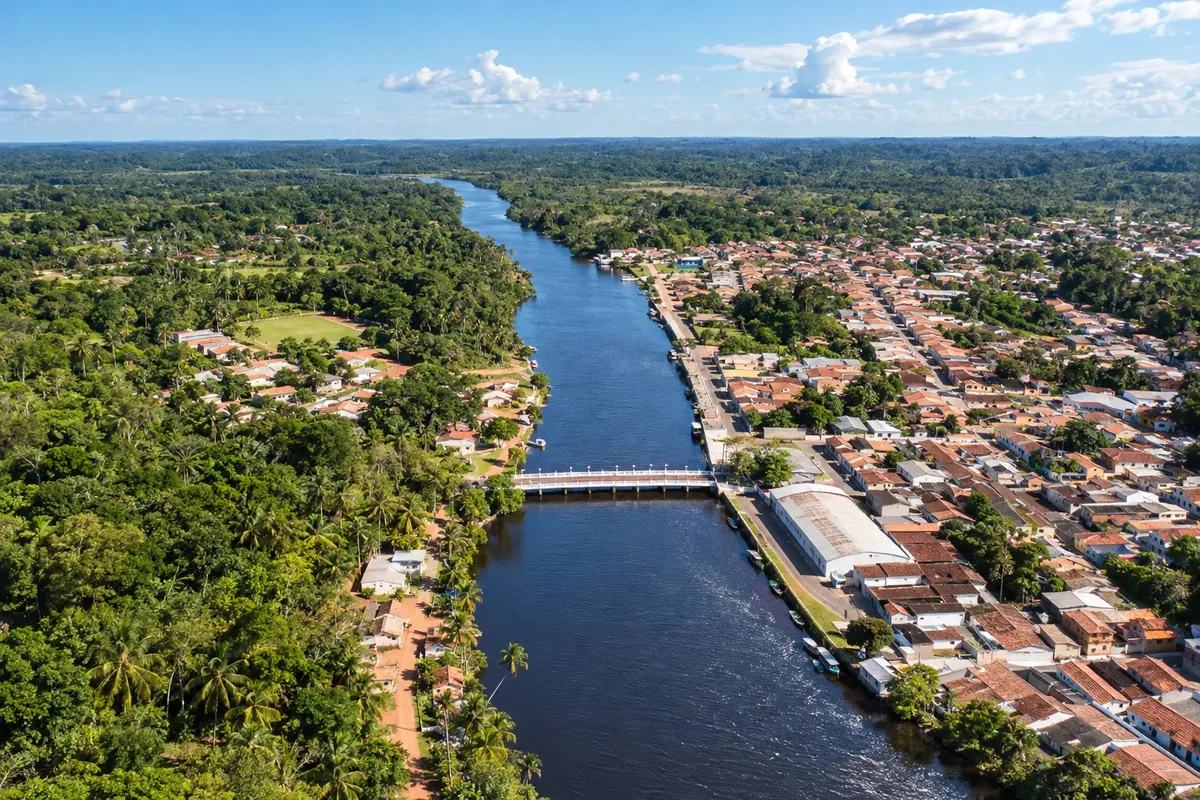
The Rio das Almas connects to the landscape of Nilo Peçanha, while Barra dos Carvalhos maintains ties to fishing and the coast. The town seat and the estuary communities offer different perspectives of the municipality.
→ Ituberá Follow the BA-001 from Nilo Peçanha to Ituberá. Pratigi, the Pancada Grande and Barra de Serinhaém require their own access routes; visiting the Barra may involve a boat via the Serinhaém channel.
-
 5 · BA
Ituberá
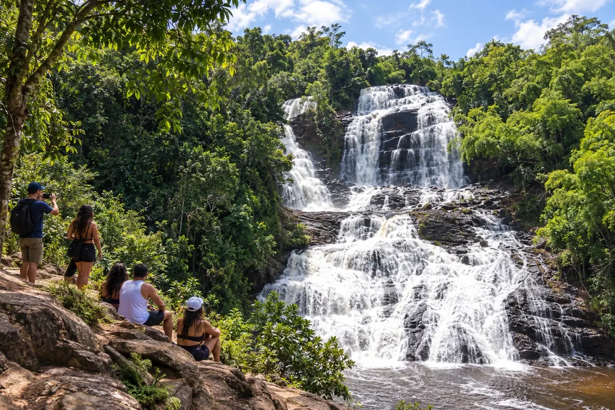
Ituberá was known as Santarém and formed alongside the river and canal system of the Serinhaém. The Cachoeira da Pancada Grande, Praia de Pratigi and Barra de Serinhaém show the diversity of landscapes within the municipality.
→ Igrapiúna The Ituberá–Igrapiúna connection follows the BA-001. Experiences in island communities should be organized separately with those responsible for the tours.
-
 6 · BA
Igrapiúna
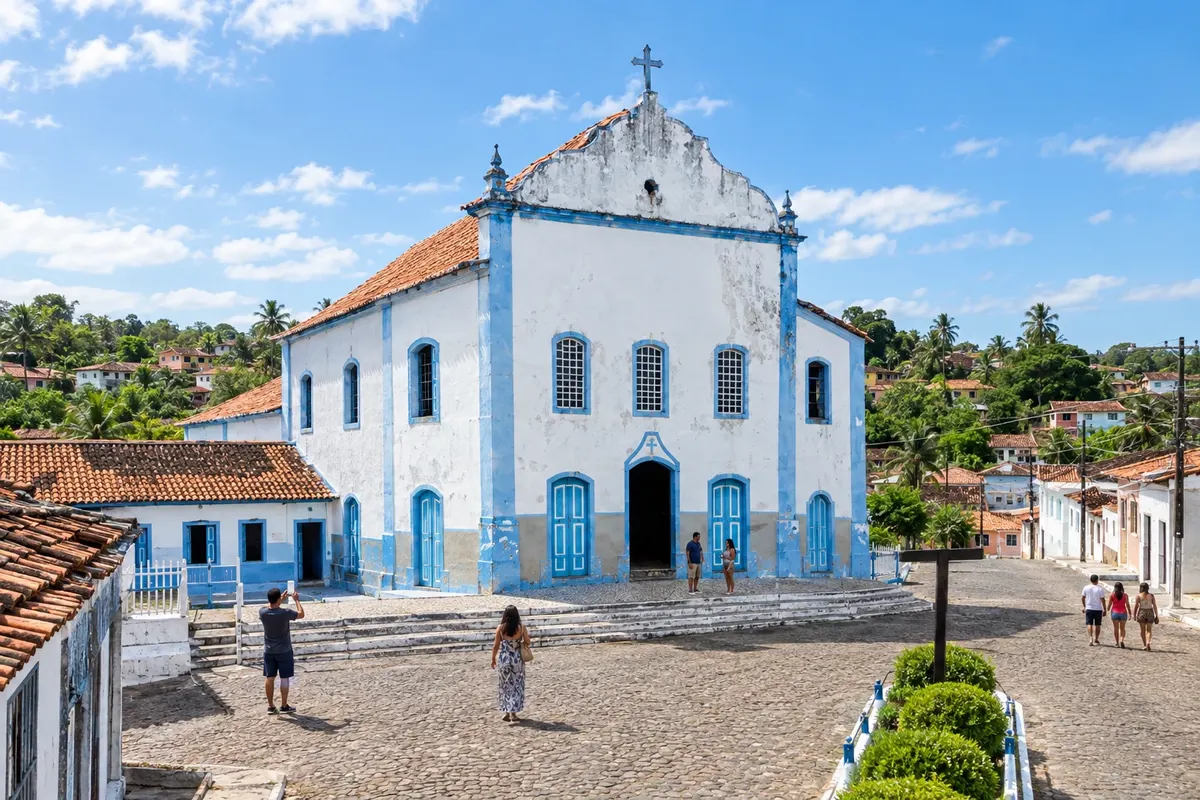
Igrapiúna's origins are linked to the settlement of Nossa Senhora das Dores and to the agricultural production of the Baixo Sul. On Ilha da Amba, community tourism initiatives bring visitors closer to estuary life, organized in coordination with those responsible.
→ Camamu The BA-001 continues from Igrapiúna to Camamu. Visiting the historic core and embarking for the bay are local stages, outside the continuous flow along the highway.
-
 7 · BA
Camamu
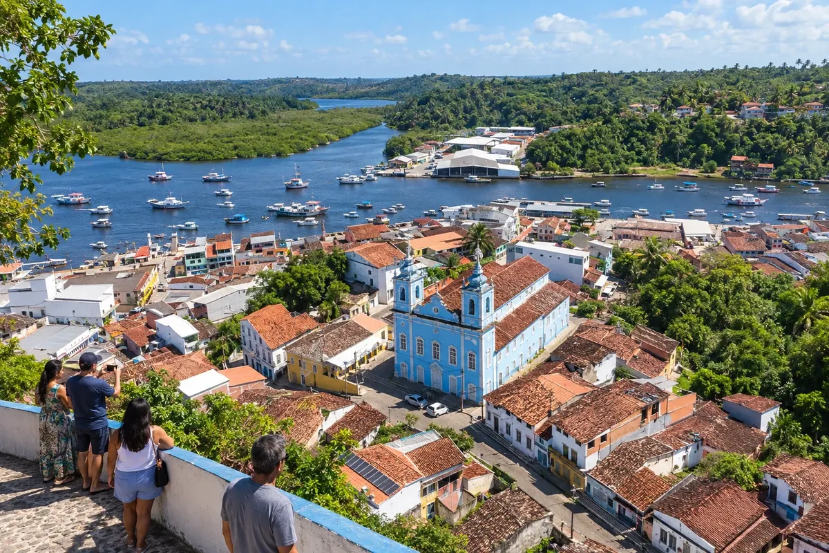
Camamu preserves a historic core spread between the upper town and the city's port area. Its bay gathers islands and communities accessible by boat, with routes distinct from the road that runs along the mainland.
→ Maraú For Barra Grande, in Maraú, there is a launch connection from Camamu. The overland option goes via the BA-001, the BR-030 junction and local peninsula roads. Maraú's town seat is further south and does not coincide with Barra Grande.
-
 8 · BA
Maraú
Maraú includes the peninsula of Barra Grande and Taipu de Fora, as well as the municipal seat further south. The side facing the Baía de Camamu and the Atlantic beaches have different accesses, which should be defined before choosing the trip base.
How many days
Allow eight to twelve days to combine continental stages and stays on the islands. A shorter itinerary should select bases and reduce crossings.
Best time to go
From April to July it usually rains more; from September to February, volumes are generally lower. Rain can slow land access and change trail conditions to the waterfalls. Visits to the reefs of Morro de São Paulo, Boipeba and Maraú follow low-tide windows, while wind and swell influence crossings. December to February usually concentrates the high season on the islands and the peninsula.
The seasons shown are the most usual ones; nature doesn't always follow the calendar.
How to travel it
Proceed along the BA-001 between Valença and Camamu. Visit the town seat of Cairu via the BA-884 spur or arrange boat trips to Morro de São Paulo and Boipeba, returning to the mainland to continue. From Camamu, the launch to Barra Grande serves the peninsula; overland access involves the BR-030 and local roads. Confirm route conditions and crossings before setting out.
Who it's for
For those wishing to combine heritage, beaches and estuary landscapes, willing to alternate between road and boat.
Your questions
Frequently asked questions about the Costa do Dendê
Is it possible to do the entire route by car?
The continental axis is by road. Morro de São Paulo and Boipeba require a boat; Barra Grande allows choosing between arrival by launch and overland access to the peninsula.
Are Morro de São Paulo and Boipeba stops in different municipalities?
Both localities belong to Cairu. Choose your base according to the beaches and trips desired, allowing time for each transfer.
How to combine Camamu and Barra Grande?
Camamu is an embarkation point for the connection across the bay. To continue by car to the peninsula, plan access via the BR-030 and check its conditions.
Where to split your stays?
Valença, the localities of Cairu, Ituberá and the Península de Maraú offer bases for different stages. The choice depends on how many crossings and detours you plan to make.
How to organize visits to the island communities?
Arrange the tour with operators or local contacts, provide the embarkation point, and confirm availability before traveling.