
Route · MG
Gold Circuit
Fifteen municipalities in Minas Gerais on a route through gold heritage, mountain ranges, railway memory and Minas Gerais cuisine.
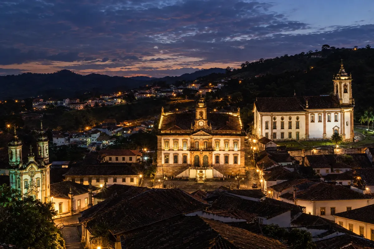
In the photo: Museu da Inconfidência and Ouro Preto's urban heritage at night.
Illustrative images. The pictures in this guide are illustrations based on the real place, not photographs, and may differ from it.

The route
What the Gold Circuit is
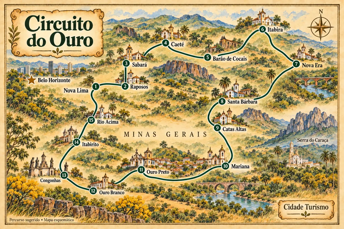
The Gold Circuit brings together towns in Minas Gerais linked to settlement and gold exploitation, but also to contemporary mining, the railway and life in the mountain ranges. This route covers 15 municipalities, starting and ending in Nova Lima. The region offers different travel combinations; the sequence shown is one way to assemble these sectors into a broad circuit.
Between Nova Lima and Caeté, the route brings the Rio das Velhas valley closer to the landscapes of the Serra da Piedade. Sabará concentrates churches and the Museu do Ouro. Barão de Cocais connects the passage to Itabira, where the memory of Carlos Drummond de Andrade meets the history of mining. Nova Era adds the São José da Lagoa nucleus; afterwards the itinerary returns to the approaches to Santa Bárbara.
Santa Bárbara and Catas Altas offer religious heritage and Caraça landscapes. The route continues to Mariana and Ouro Preto, towns that require more time for their historic centers, churches and museums. Ouro Branco and Congonhas complete this sector, with the mountain scenery and the complex of the Santuário do Bom Jesus de Matosinhos.
Itabirito features the old station, the Matriz de Nossa Senhora da Boa Viagem and the pastel de angu. Rio Acima closes the route in the Rio das Velhas valley, before returning to Nova Lima. The map shows the approximate location of the stops: it is not a continuous road nor does it replace navigation. The stretch from Nova Era to Santa Bárbara requires returning along the main road axis, and mountain crossings and rural access roads should be checked close to the trip.
The map
15 cities along the way
Mapa: @svg-maps/brazil, CC BY 4.0
The journey
City by city
Distances and times are approximate: check before you set off.
-
 1 · MG
Nova Lima
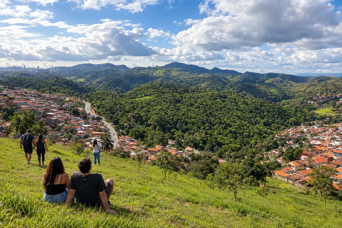
Nova Lima preserves the mining memory of Morro Velho and the Igreja Matriz de Nossa Senhora do Pilar. Close to Belo Horizonte, it opens this circuit with urban heritage and mountain scenery.
→ Raposos Leave Nova Lima along the MG-030 axis and take the signed access to Raposos. The connection crosses the Rio das Velhas valley; the branch that reaches the town center is different from the continuation toward Rio Acima.
-
 2 · MG
Raposos
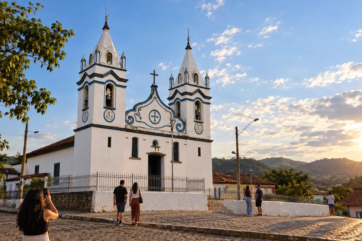
Raposos developed along the Rio das Velhas and gold mining. The Matriz de Nossa Senhora da Conceição and the streets of the old town are landmarks for the stop between Nova Lima and Sabará.
→ Sabará From Raposos, return to the Nova Lima access and use the connection to Sabará via the MG-437 corridor. This road route makes a detour relative to the line on the map; avoid taking rural shortcuts as equivalents.
-
 3 · MG
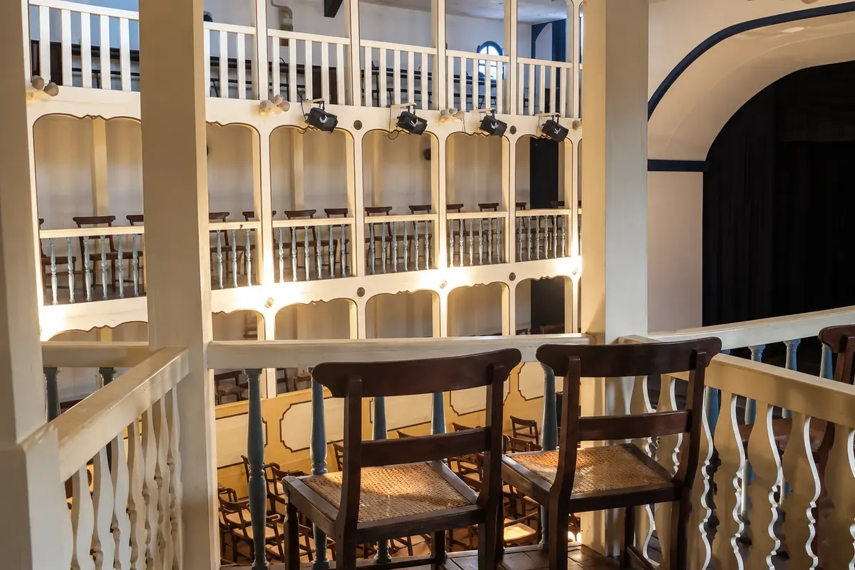
Sabará
Sabará brings together colonial churches, the Museu do Ouro and the tradition of the Festival da Jabuticaba. The historic center's heritage requires time for walking before the climb toward Caeté.
→ Caeté Connection via MGC-262, between the Sabará valley and the accesses to Caeté. There are curves and mountain terrain; check the road conditions and any works before traveling.
-
 4 · MG
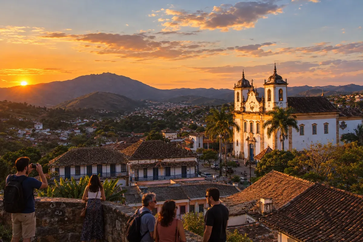
Caeté
Caeté has the Matriz de Nossa Senhora do Bom Sucesso and the Serra da Piedade, associated with religious pilgrimage. The town marks the transition between the metropolitan surroundings and the mountain ranges of the Barão de Cocais sector.
→ Barão de Cocais The MGC-262 connects Caeté to Barão de Cocais through the mountain range, in the Cachoeira do Cambota sector. There is a history of construction and paving works; confirm the current situation before using this crossing.
-
 5 · MG
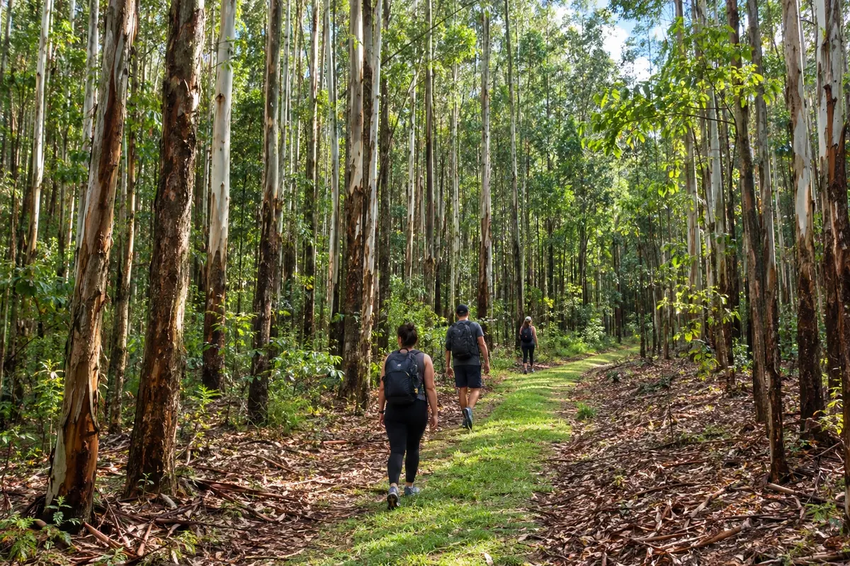
Barão de Cocais
Barão de Cocais brings together the Igreja de São João Batista and the historic district of Cocais. The urban core and the approaches via the MG-436 link the passage to the Itabira sector.
→ Itabira Leave Barão de Cocais via MG-436 to BR-381. Continue to the junction of the access to Itabira and use the MG-434/MG-129 corridor, with regional traffic related to mining.
-
 6 · MG
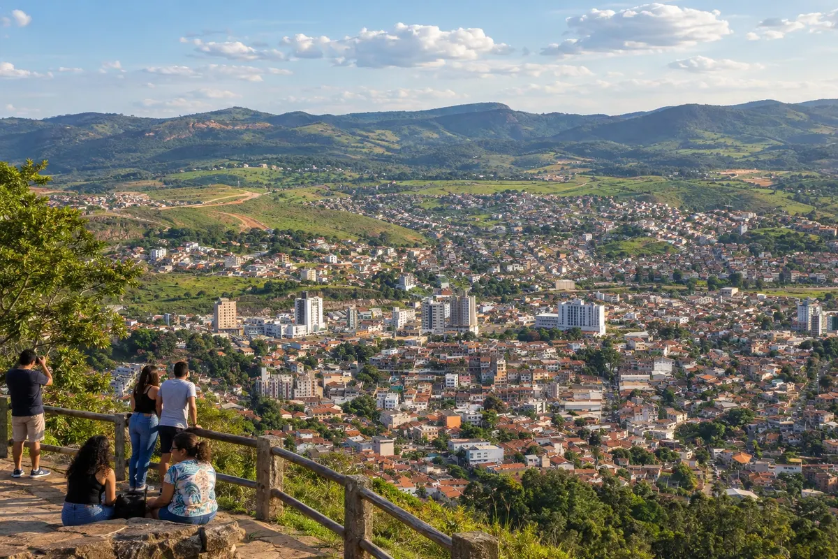
Itabira
Itabira links the history of mining with the memory of Carlos Drummond de Andrade. Casa de Drummond and the Memorial Carlos Drummond de Andrade are references for getting to know the town beyond the road transit.
→ Nova Era Between Itabira and Nova Era, use the MG-129/MGC-120 corridor. The road crosses a mining region with rolling terrain; check for interventions and urban access to Nova Era.
-
 7 · MG
Nova Era
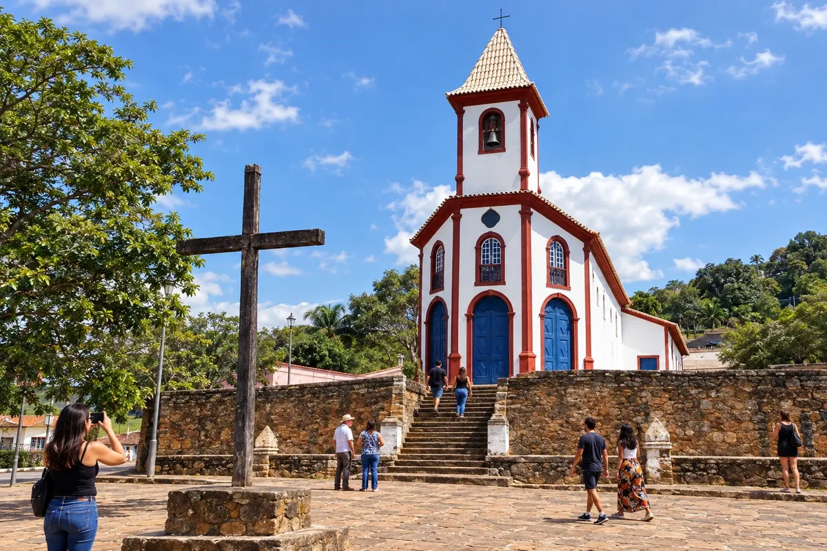
Nova Era grew from the São José da Lagoa settlement on the banks of the Rio Piracicaba. The eighteenth-century mother church and the Praça da Matriz ensemble mark its stop in the sector visited with Itabira.
→ Santa Bárbara From Nova Era, return to BR-381 toward the access to Barão de Cocais via MG-436 and proceed to Santa Bárbara. There is backtracking over part of the sector already covered; the line on the map does not represent a direct road.
-
 8 · MG
Santa Bárbara
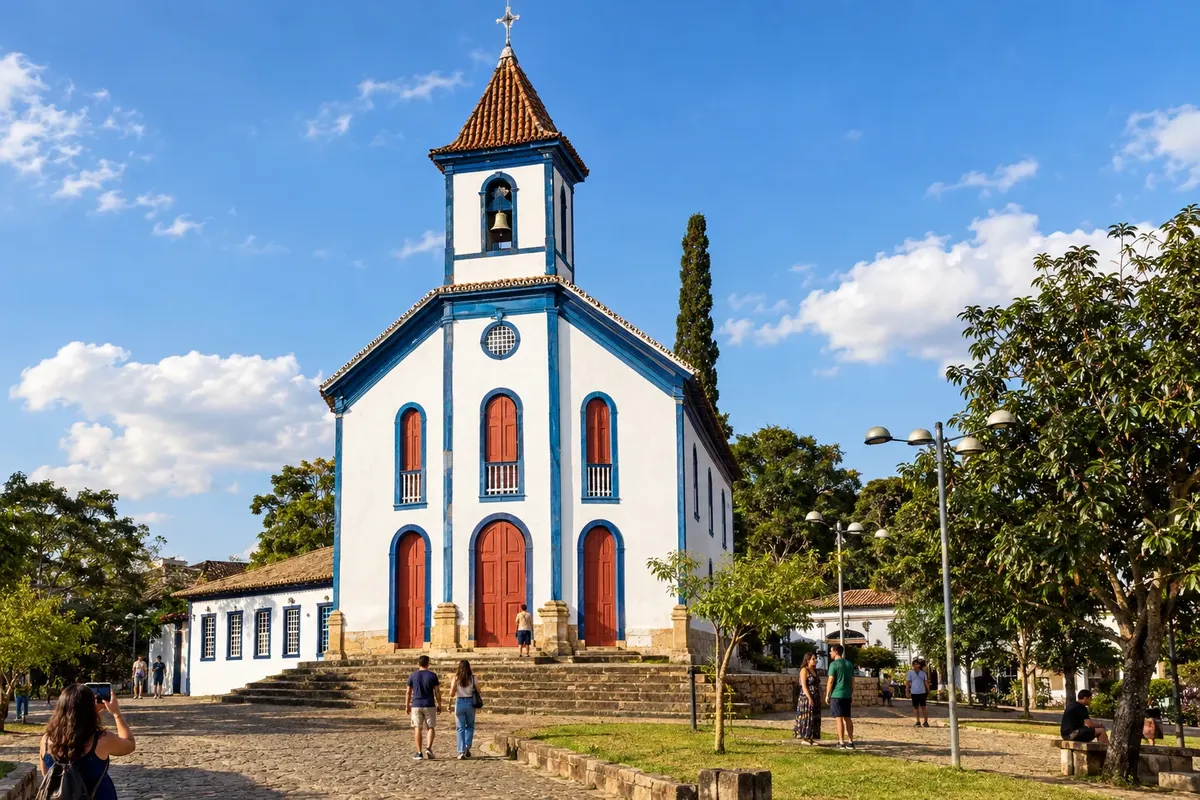
Santa Bárbara has the Matriz de Santo Antônio and the Casa de Afonso Pena. The municipality is part of the accesses to Caraça and begins, on this route, the sequence along the MG-129 axis toward Catas Altas.
→ Catas Altas Follow MG-129 from Santa Bárbara to Catas Altas. The connection follows the Serra do Caraça sector; accesses to the sanctuary and other attractions are detours that require separate planning.
-
 9 · MG
Catas Altas
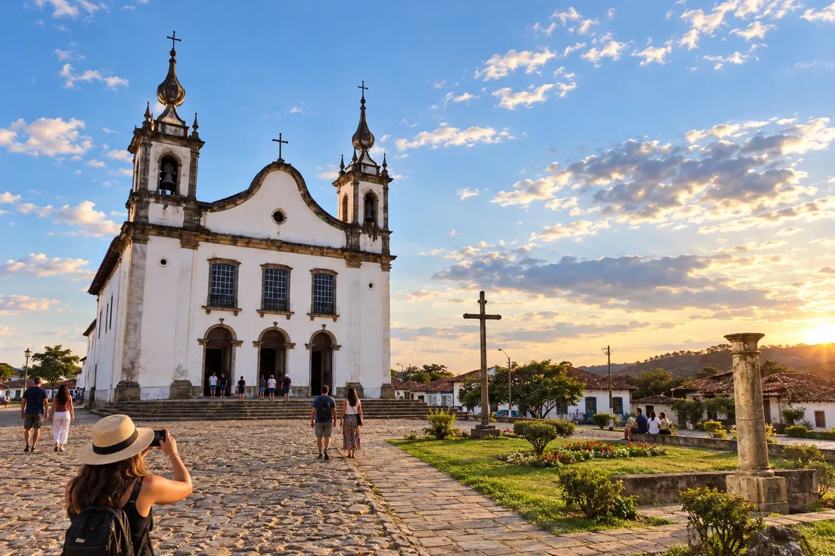
Catas Altas sits at the foot of the Serra do Caraça. The Matriz de Nossa Senhora da Conceição and the houses of the historic core make up the visit before continuing along the MG-129.
→ Mariana Continue on MG-129 toward Mariana. The route passes through the Santa Rita Durão and Bento Rodrigues sectors, in a mining region; visits to localities off the highway require separate planning.
-
 10 · MG
Mariana
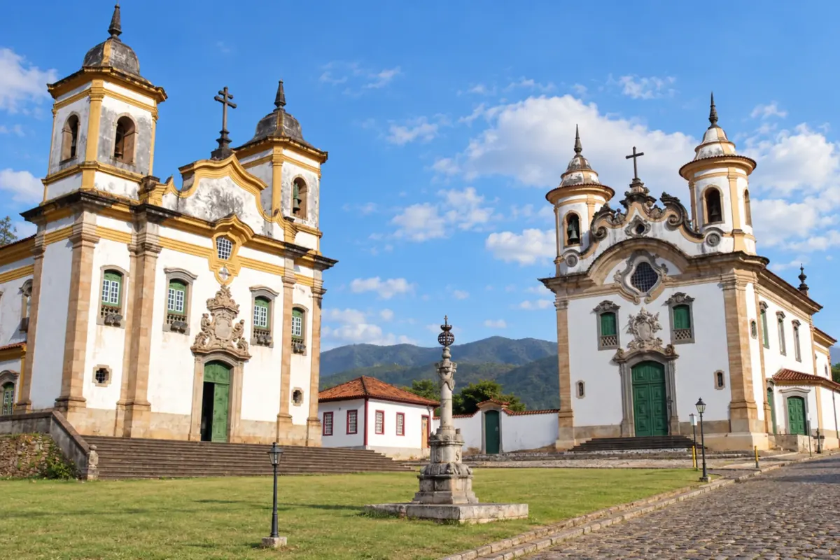
Mariana, the first town and first capital of Minas Gerais, concentrates religious heritage around Praça Minas Gerais and the Catedral da Sé. The stop precedes Ouro Preto along the BR-356.
→ Ouro Preto Mariana and Ouro Preto are connected by BR-356. The route ascends between the two historic centers and passes through the Passagem de Mariana sector; visiting the mine is an additional stop.
-
 11 · MG
Ouro Preto
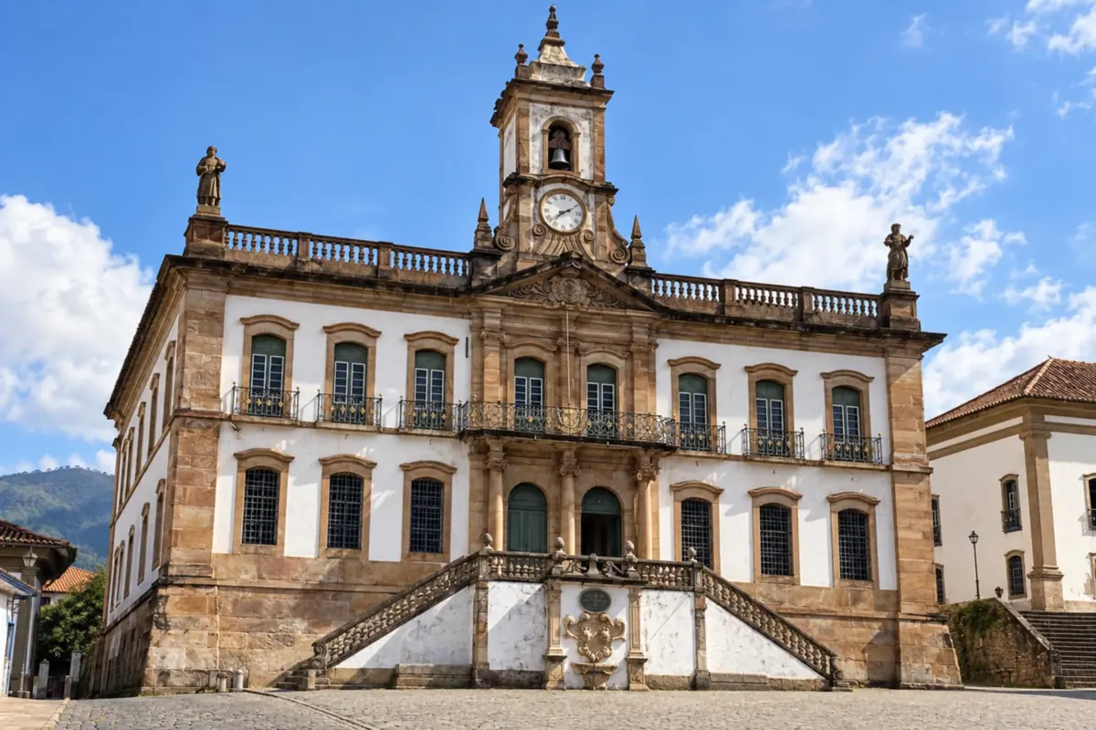
Ouro Preto preserves baroque churches, steep streets and the Museu da Inconfidência. Its urban ensemble, recognized as a World Heritage Site, calls for a longer stay to explore the museums and historic streets.
→ Ouro Branco Leave Ouro Preto via the MG-129 connection toward Ouro Branco. The crossing goes through the mountain sector and accesses to villages; the map's drawing does not reproduce the road's curves.
-
 12 · MG
Ouro Branco
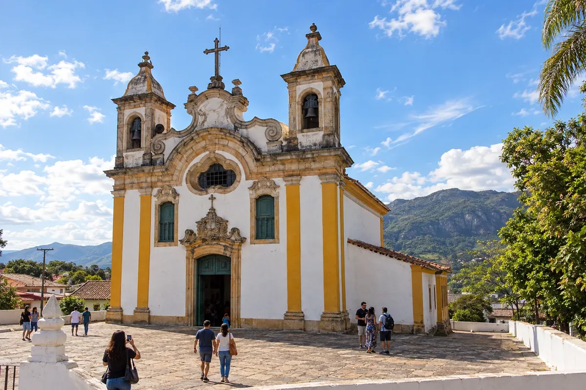
Ouro Branco preserves the Matriz de Santo Antônio and has the Serra do Ouro Branco as its main landscape reference. The town connects the Ouro Preto sector to Congonhas.
→ Congonhas The connection from Ouro Branco to Congonhas uses the MG-443 axis and the approach to the municipality. The section combines urban and industrial traffic; plan navigation to the Santuário do Bom Jesus de Matosinhos separately.
-
 13 · MG
Congonhas
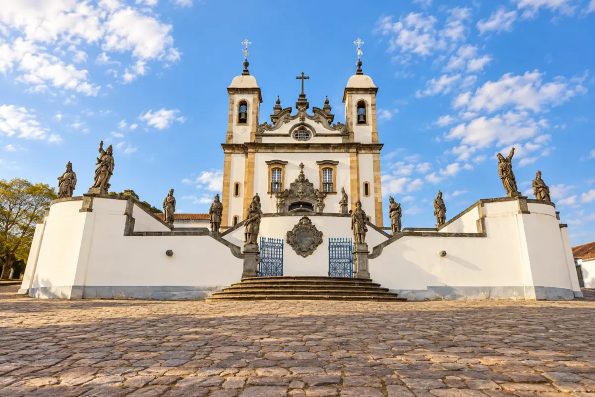
Congonhas brings together the soapstone prophets and the chapels of the Passos at the Santuário do Bom Jesus de Matosinhos. The Museu de Congonhas helps contextualize this complex before departing toward Itabirito.
→ Itabirito From Congonhas, follow BR-040 toward Belo Horizonte and join BR-356 heading to Itabirito. This road option bypasses the mountain sector; rural accesses may present different conditions.
-
 14 · MG
Itabirito
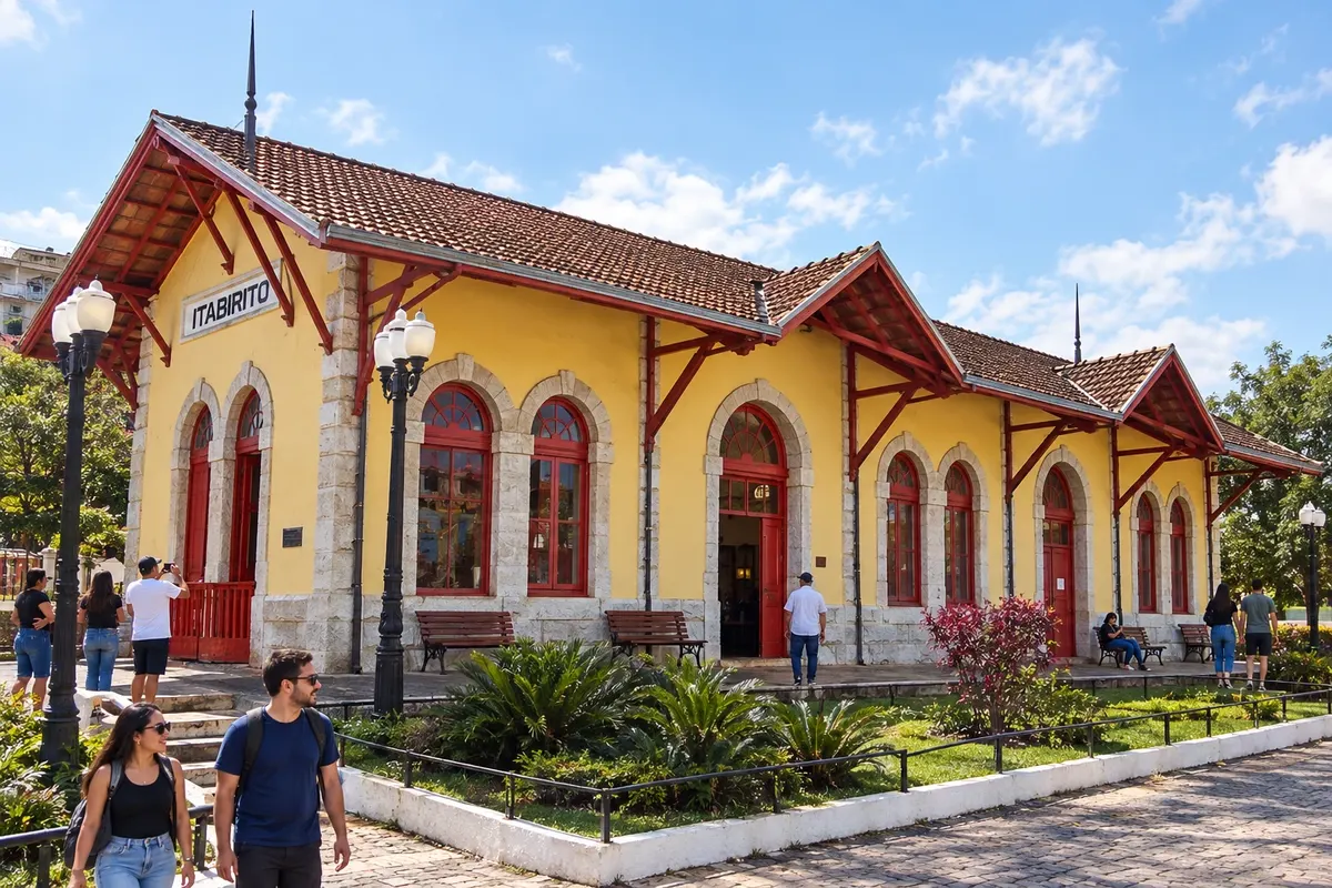
Itabirito combines the Matriz de Nossa Senhora da Boa Viagem, the Complexo Turístico da Estação and the tradition of the pastel de angu. São Gonçalo do Bação expands the visit with district heritage.
→ Rio Acima Itabirito and Rio Acima are linked by the MG-030 axis in the Rio das Velhas valley. Check the conditions of the rural segments; the existence of the connection does not guarantee continuous paving or easy traffic after rain.
-
 15 · MG
Rio Acima
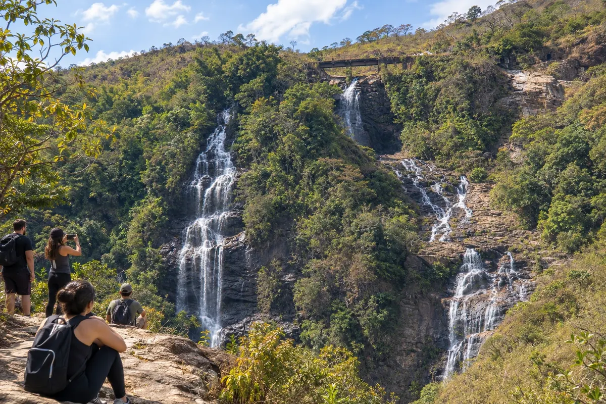
Rio Acima developed along the Rio das Velhas and the railway. The old station and the accesses to waterfalls characterize the final stop before returning to Nova Lima via the MG-030.
→ Nova Lima Return from Rio Acima to Nova Lima via MG-030, passing through the Honório Bicalho sector. The route follows the valley and reaches Nova Lima's urban accesses, completing the circuit.
How many days
To visit all sectors with time for attractions, spread the trip over about ten to fifteen days as a planning suggestion. Ouro Preto and Mariana deserve longer stays. It is also possible to split the circuit into shorter trips: the area around Belo Horizonte, Itabira and Nova Era, Caraça and the historic towns to the south.
Best time to go
In general, the drier months are better for walks through historic centers and for rural travel. During the rainy season, check mountain crossings and dirt access roads. Religious festivals and gastronomic events have their own calendars; confirm the dates for the edition you want to attend.
How to travel it
A car or hired transport makes it easier to cover the 15 municipalities. The route combines regional highways, urban accesses and possible rural segments. Pay special attention to the MGC-262 between Caeté and Barão de Cocais and the MG-030 between Itabirito and Rio Acima. Plan the return from Nova Era along the BR-381 axis, and do not interpret the line on the map as a direct road.
Who it's for
For those who want to connect churches, museums, mining memory, literature and Minas Gerais cuisine. The hills and stairways of historic centers vary from town to town; adapt walks to the needs of travelers.
Your questions
Frequently asked questions about the Gold Circuit
Do the 15 municipalities need to be visited in a single trip?
No. The circuit can be divided into sectors. This itinerary connects all selected municipalities, but shorter trips allow more time for Sabará, Itabira, the Caraça, or the historic towns in the Ouro Preto sector.
Is there an official mandatory order to travel the Circuito do Ouro?
The region has thematic routes and various combinations of visits. The order on this page is a travel suggestion, starting and ending in Nova Lima, and includes an excursion to the Itabira and Nova Era sector.
Is the entire route paved?
Do not assume continuous paving for all connections and detours. Mountain accesses and rural segments require checking, especially between Caeté and Barão de Cocais and between Itabirito and Rio Acima. Choose the effective route based on the conditions on the date of travel.
What is the total distance of the circuit?
There is no officially confirmed distance for this combination of 15 municipalities. The total depends on the roads chosen and detours to attractions. Therefore, this page does not provide overall distance or total travel time.
How to go from Nova Era to Santa Bárbara?
The described connection returns to the BR-381 axis and uses the access via Barão de Cocais. There is repetition of part of the road sector; the line illustrated between the cities does not indicate a direct road.
Is the map suitable for driving?
The map is illustrative and identifies the stops and their approximate positions. Use road navigation for movements and confirm works, restrictions, and accesses to attractions before departing.