
Route · MG,SP,RJ
Estrada Real – Caminho Velho
From Ouro Preto to Paraty, the oldest route of the Estrada Real passes through historic towns, spa towns, and the Mantiqueira.
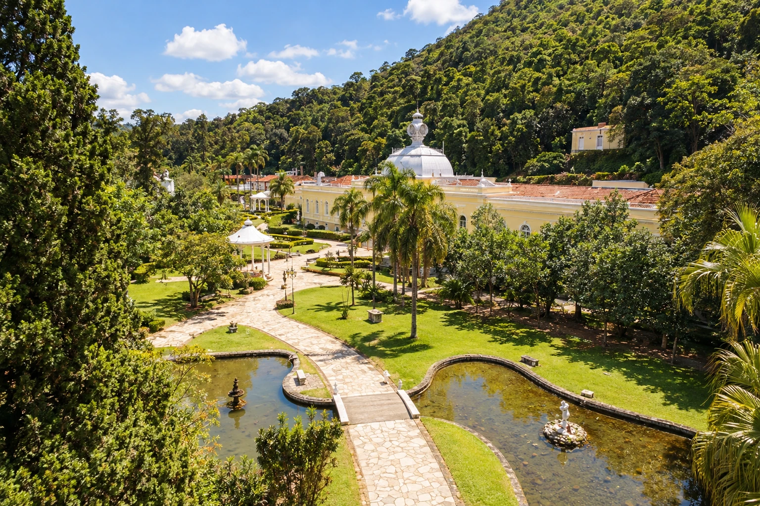
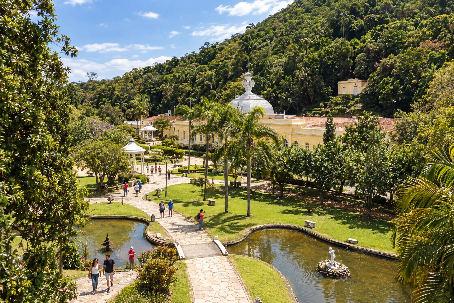
In the photo: Parque das Águas de Caxambu, Caxambu, MG
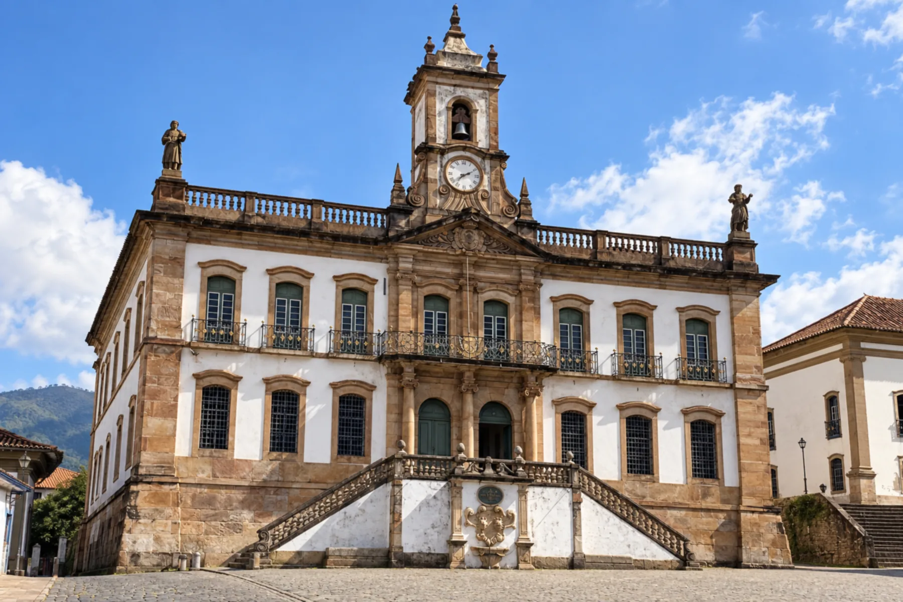
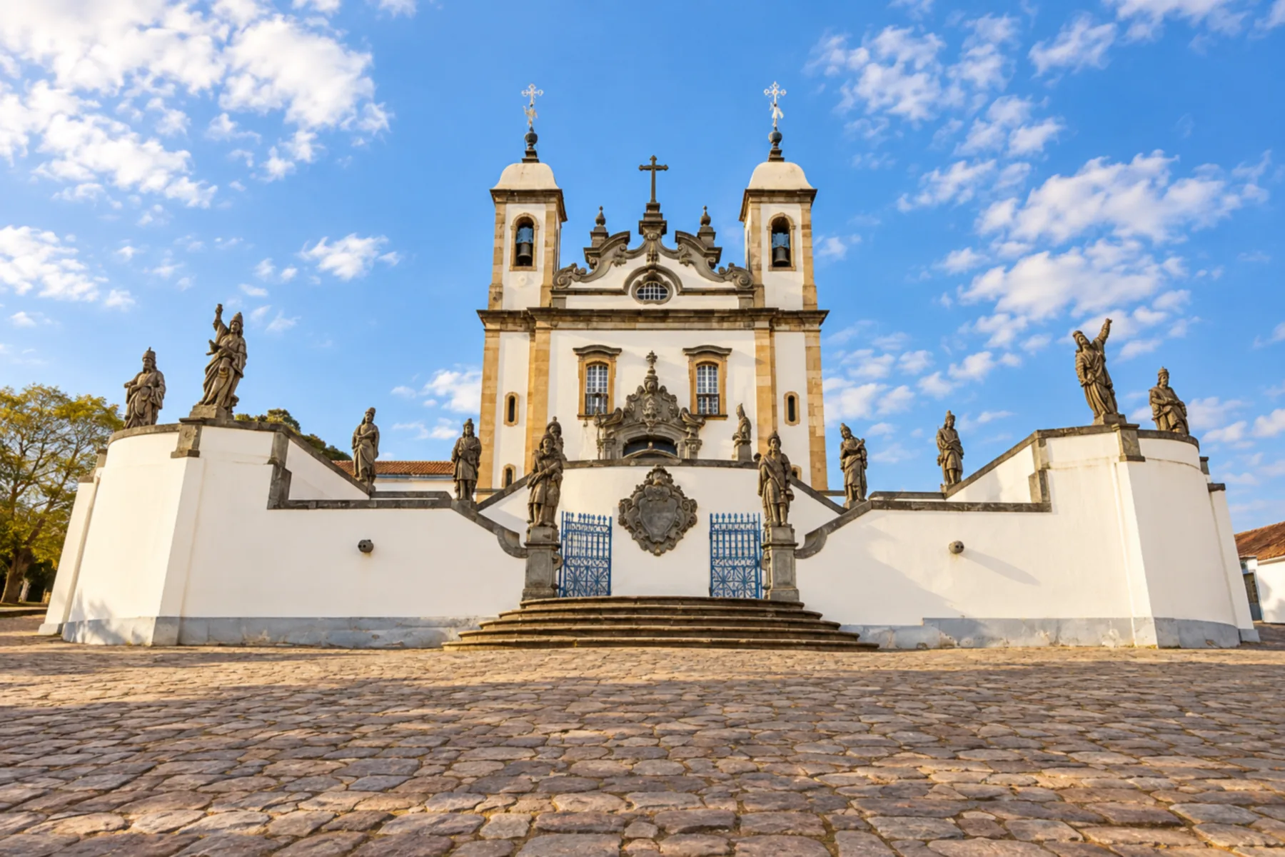
Illustrative images. The pictures in this guide are illustrations based on the real place, not photographs, and may differ from it.

The route
What the Estrada Real – Caminho Velho is
The Caminho Velho links Ouro Preto to Paraty and was the first official route between the fluminense coast and the mining region. The trip allows you to trace that connection between the interior of Minas Gerais, the Vale do Paraíba and the Serra do Mar.
Congonhas, Tiradentes and São João del-Rei concentrate references of colonial heritage. In the South of Minas, passing through Caxambu and São Lourenço brings the route closer to the spa towns. Schedule visits and transfers so you don't try to see all the towns in one day.
The crossing of the Mantiqueira goes through the Garganta do Embaú, in Cruzeiro. The historic axis does not necessarily pass through the municipal seat: going to Cruzeiro's center needs to be organized separately. Cunha precedes the mountain descent to the Paraty coast.
The Instituto Estrada Real reports 710 km for the official route. That figure is not the sum of movements between all urban centers. There are dirt stretches and trails, and the choice of access changes depending on whether the journey is made on foot, by bicycle or by car.
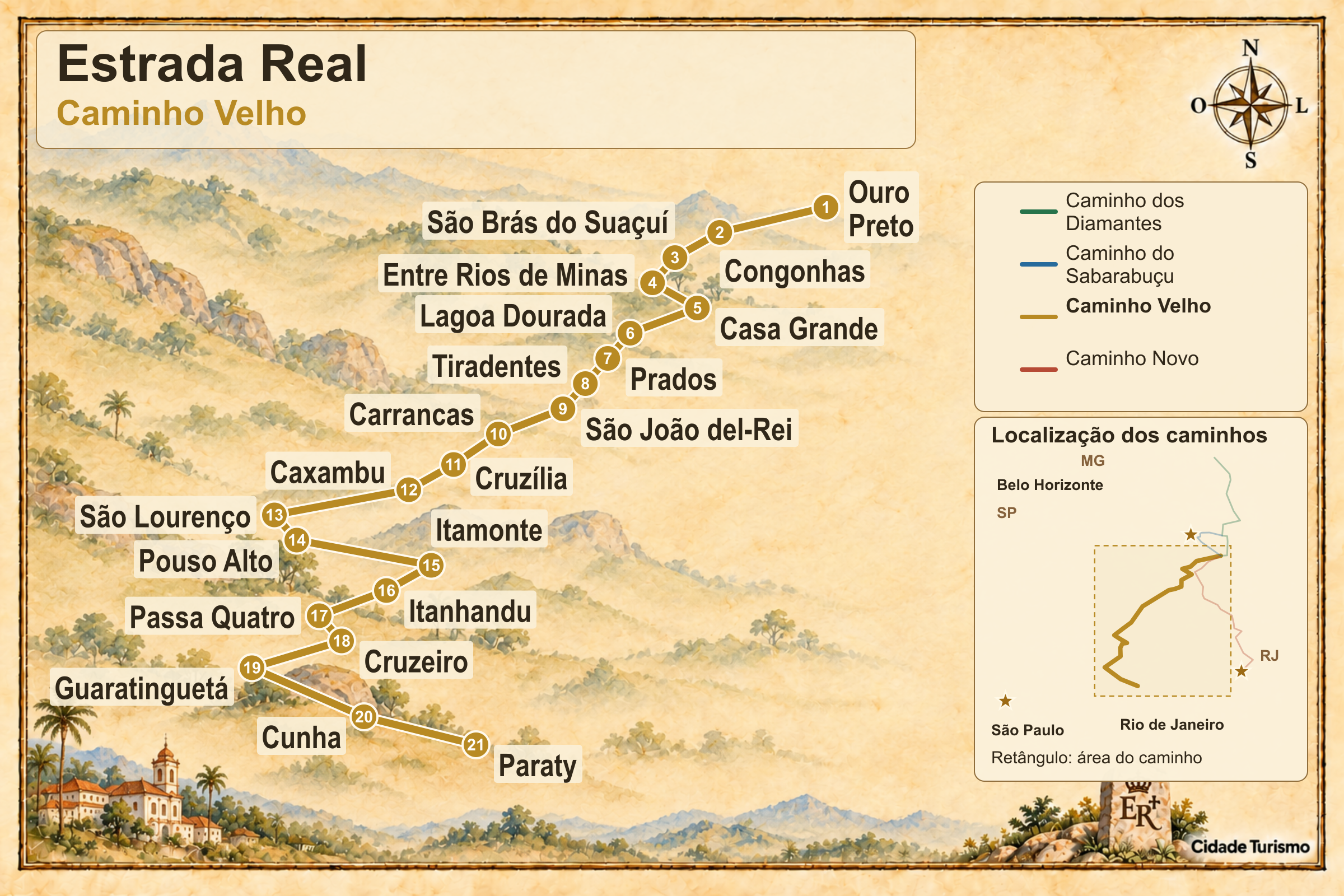
The map
21 cities along the way
The journey
City by city
Distances and times are approximate: check before you set off.
-
 1 · MG
Ouro Preto
Ouro Preto opens the Caminho Velho journey toward Paraty. The historic passage continues through the districts of São Bartolomeu and Glaura; visiting the town center and walking the trail are separate activities.
→ Congonhas Caminho Velho: leaves Ouro Preto via São Bartolomeu and Glaura, continues through Santo Antônio do Leite and Miguel Burnier and reaches Congonhas via Lobo Leite. There are trails at the exit from Ouro Preto and dirt roads after Santo Antônio do Leite; the road connection requires a different route choice.
-
 2 · MG
Congonhas
In Congonhas, the Santuário do Bom Jesus de Matosinhos and Aleijadinho's works provide context to the journey through Minas' heritage. The route continues via Alto Maranhão and Pequeri.
→ São Brás do Suaçuí From Congonhas to São Brás do Suaçuí, the stage passes through Alto Maranhão and Pequeri, with views of the Serra do Gambá. After Pequeri, the route includes a trail and passage across pasture, which should not be treated as regular access for an ordinary car.
-
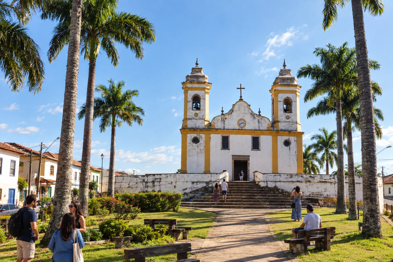 3 · MG
São Brás do Suaçuí
São Brás do Suaçuí marks the passage between Congonhas and Entre Rios de Minas. The following rural stage crosses farms and has the Serra do Gambá as a landmark.
→ Entre Rios de Minas The exit from São Brás do Suaçuí starts on asphalt and becomes dirt after the MRS area. The road to Entre Rios de Minas has gravel, cattle grids, farms and corn plantations, with the Serra do Gambá in the landscape; check conditions at wet spots.
-
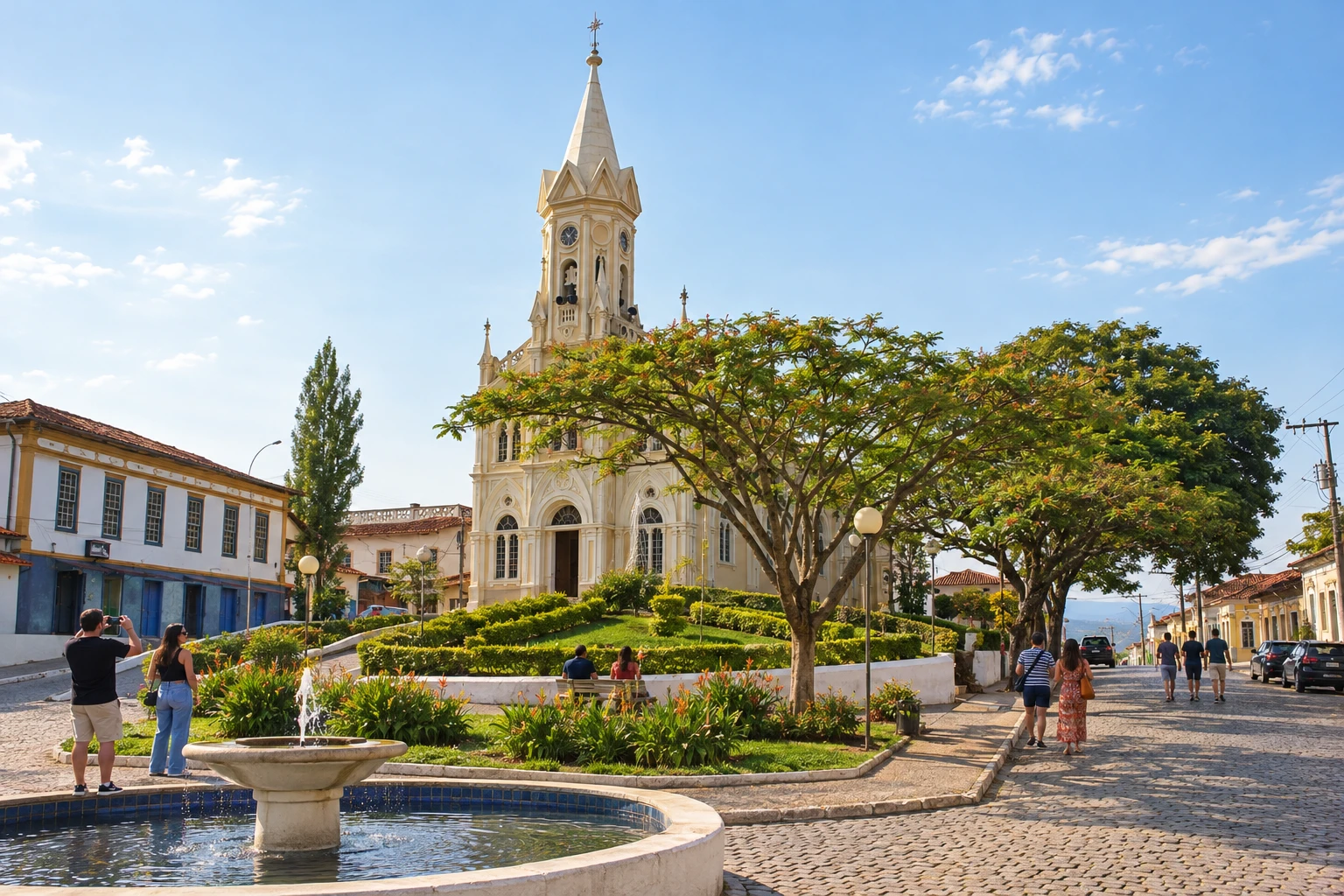 4 · MG
Entre Rios de Minas
Entre Rios de Minas precedes Casa Grande in this sequence. Camapuã and Catauá appear on the historic passage along dirt roads, among farms and plantations.
→ Casa Grande Entre Rios de Minas and Casa Grande are linked on the Caminho Velho by predominantly dirt roads, between farms and plantations. Camapuã and Catauá are localities along the route, which has the Serra de Camapuã as a visual reference.
-
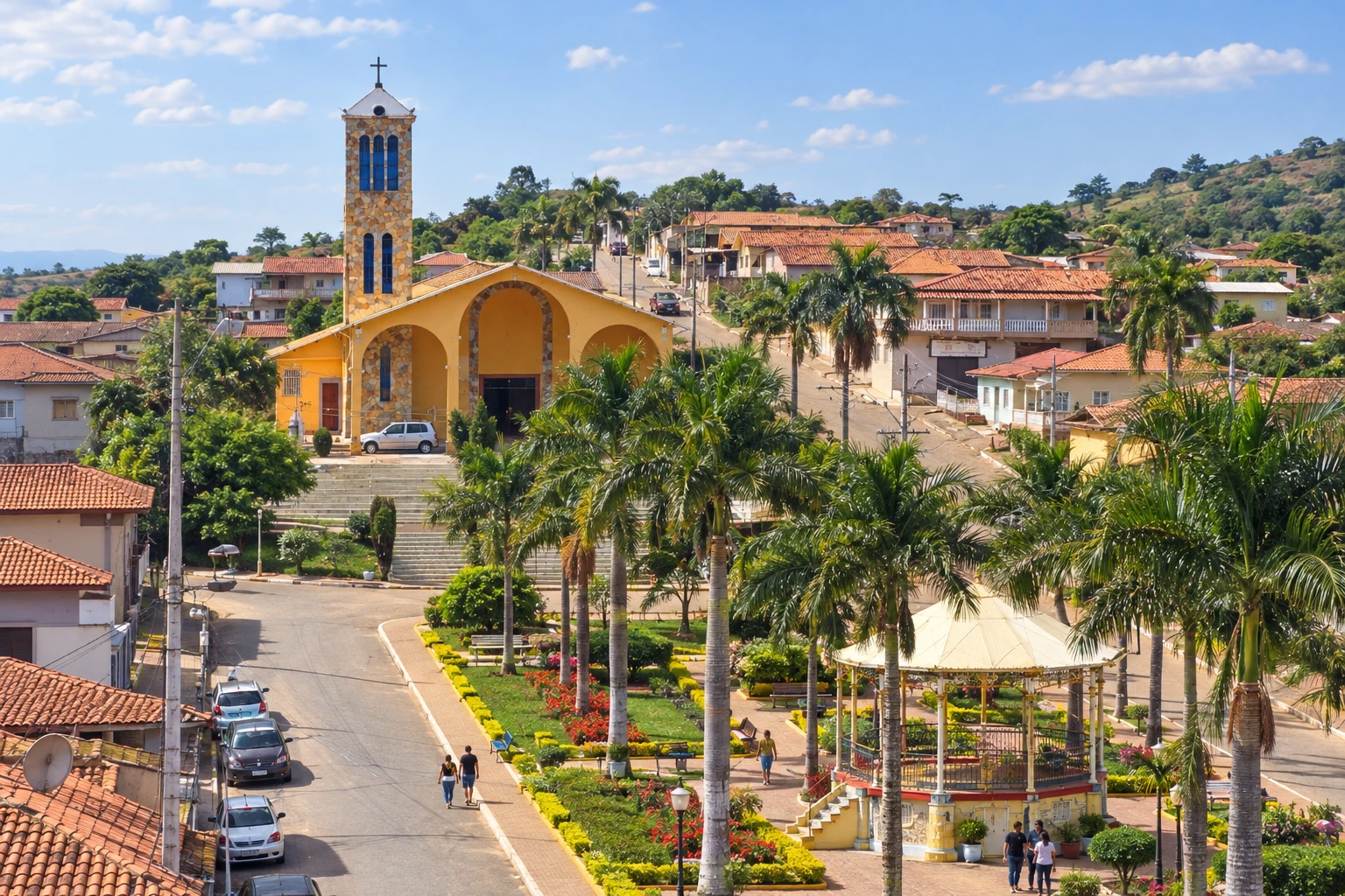 5 · MG
Casa Grande
Casa Grande comes before Lagoa Dourada, in a stage of small climbs and descents. The historic alignment includes a narrow trail section, with an alternative for cars.
→ Lagoa Dourada Between Casa Grande and Lagoa Dourada, the route alternates small ascents and descents on a dirt road. The stage includes a narrow trail without car access; drivers must use the alternative route and not enter the pedestrian path.
-
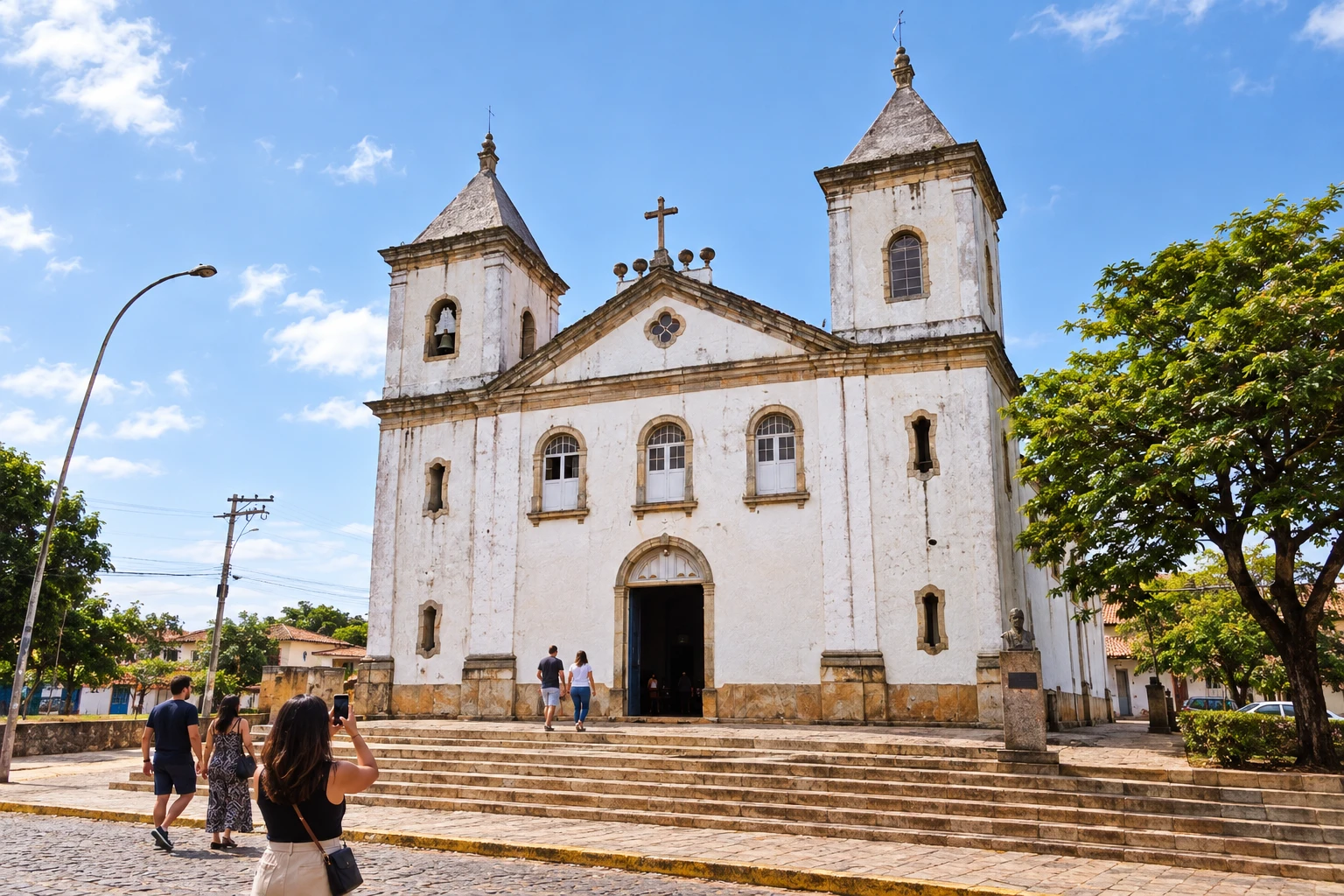 6 · MG
Lagoa Dourada
Lagoa Dourada is the departure point for Prados. The rural route alternates gravel and cattle grids, with a trail section that drivers should avoid.
→ Prados The route from Lagoa Dourada to Prados crosses rural mountain landscapes, with gravel and cattle grids. There is a trail section with steep descents, incompatible with automobiles; choose the indicated vehicle detour before leaving Lagoa Dourada.
-
 7 · MG
Prados
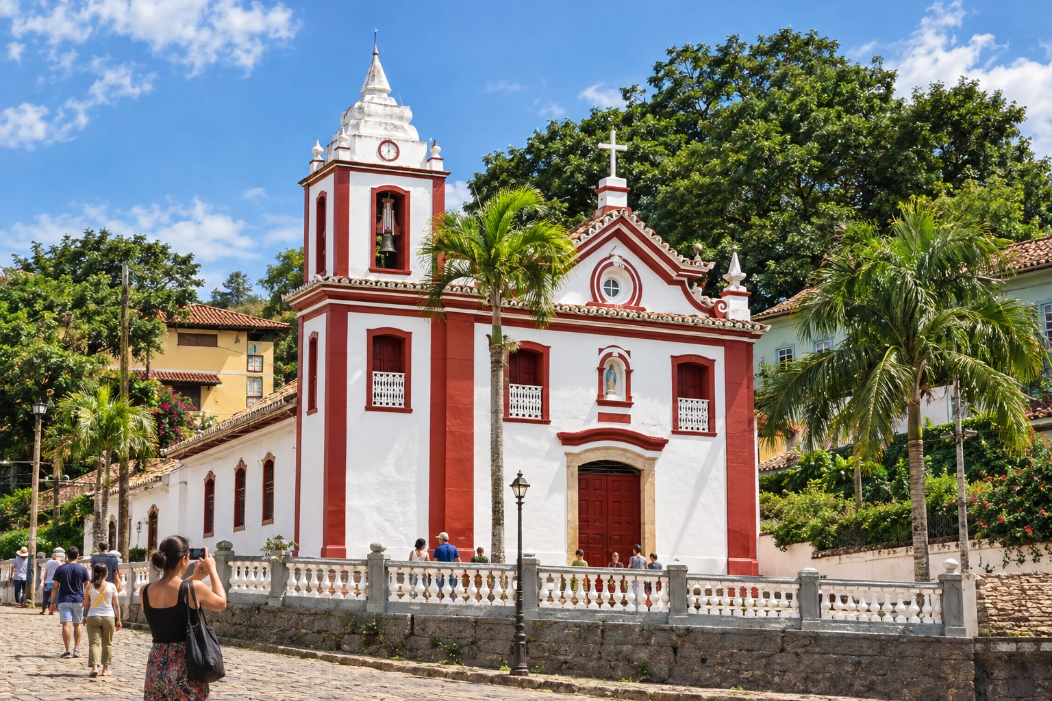
Prados allows you to continue to Vitoriano Veloso, the Bichinho, on the way to Tiradentes. The craft studios and the Serra de São José accompany this part of the trip.
→ Tiradentes From Prados to Tiradentes, the passage through Vitoriano Veloso, o Bichinho, brings the route close to craft ateliers. The Serra de São José lines the landscape and the Bichinho to Tiradentes section follows cobblestone pavement, arriving at the city's stone streets.
-
 8 · MG
Tiradentes
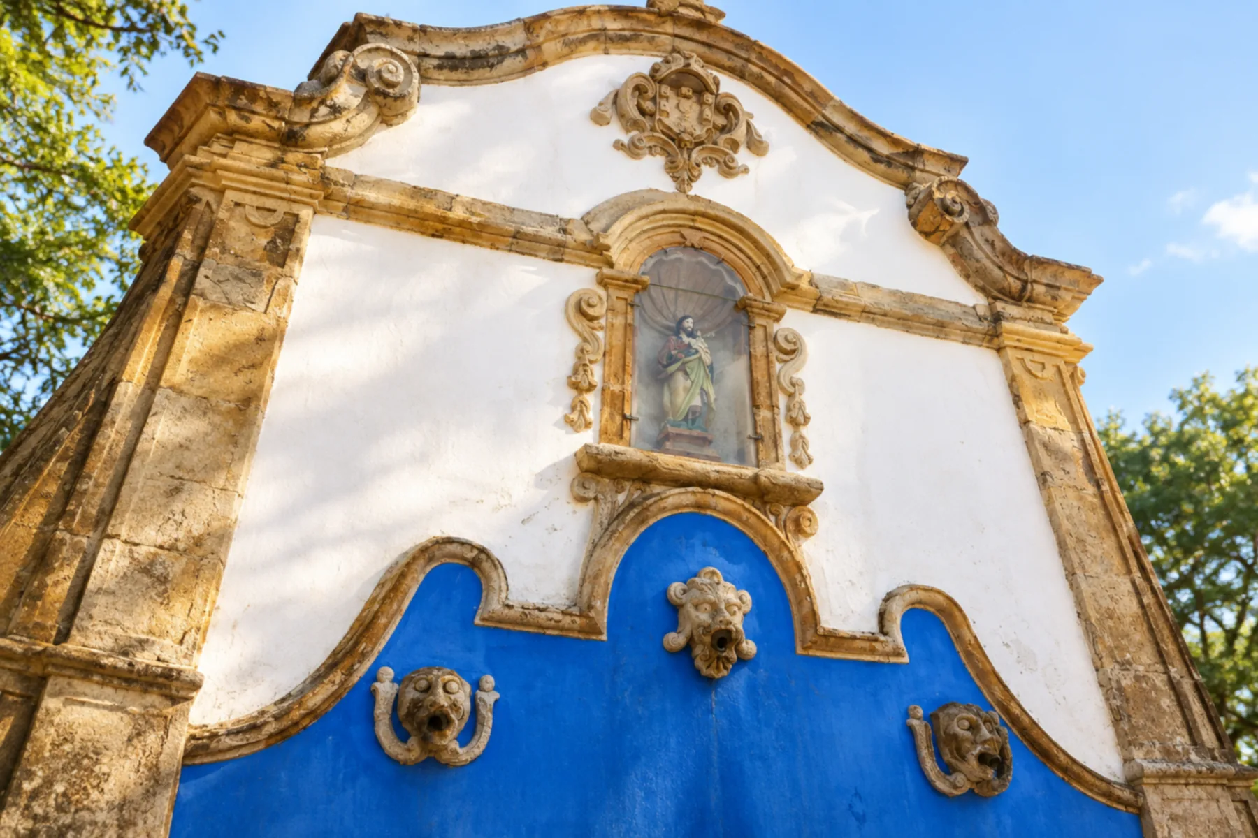
Tiradentes has cobblestone streets and the tourist rail connection with São João del-Rei. Reserve the visit to the town separately from continuing along the Caminho Velho.
→ São João del-Rei The link from Tiradentes to São João del-Rei passes through Santa Cruz de Minas. The route begins on cobblestone and continues on asphalt, with the Serra de São José visible along the stretch between the urban areas.
-
 9 · MG
São João del-Rei
São João del-Rei features the Igreja de São Francisco de Assis among its colonial heritage references. Continuing toward Carrancas, the historic route reaches Caquende and the Camargos Reservoir.
→ Carrancas Caminho Velho: the historic passage goes through São Sebastião da Vitória, Caquende and Capela do Saco. Check in advance the operation of the Represa de Camargos crossing; if unavailable, plan the road detour.
-
 10 · MG
Carrancas
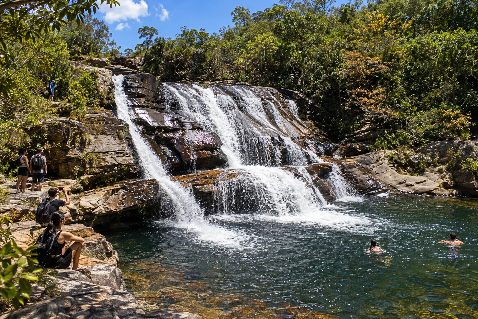
Carrancas brings together Capela do Saco and Traituba along the Caminho Velho. Visits to the waterfalls require specific access; also confirm the crossing of the Camargos Reservoir.
→ Cruzília Leaving Carrancas, the Caminho Velho passes through Vista Alegre and Traituba before Cruzília. The setting is rural, among mountains, pastures and dairy farms; the presence of cattle and muddy conditions when it rains require caution, and the historic farm should not be assumed open to visits.
-
 11 · MG
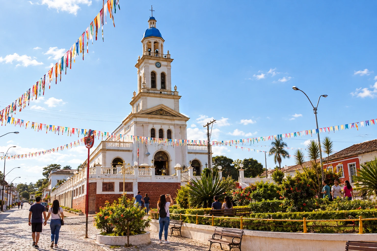
Cruzília
Cruzília takes the route after Vista Alegre and Traituba. The continuation to Caxambu passes through Baependi, in a landscape of farms and pastures.
→ Caxambu From Cruzília to Caxambu, the historic route includes Baependi. The initial part crosses farms and the approach between Baependi and Caxambu follows a dirt connection; animals on the road and surface irregularities need to be factored into planning.
-
 12 · MG
Caxambu
Caxambu allows a stop at the Parque das Águas, with gardens, springs and a historic spa. After that, the route follows rural areas and the railway line toward São Lourenço.
→ São Lourenço The route between Caxambu and São Lourenço follows the railway line and crosses farm areas. It's a link with little relief, but rain can make the rural surface muddy; confirm passage before continuing by car.
-
 13 · MG
São Lourenço
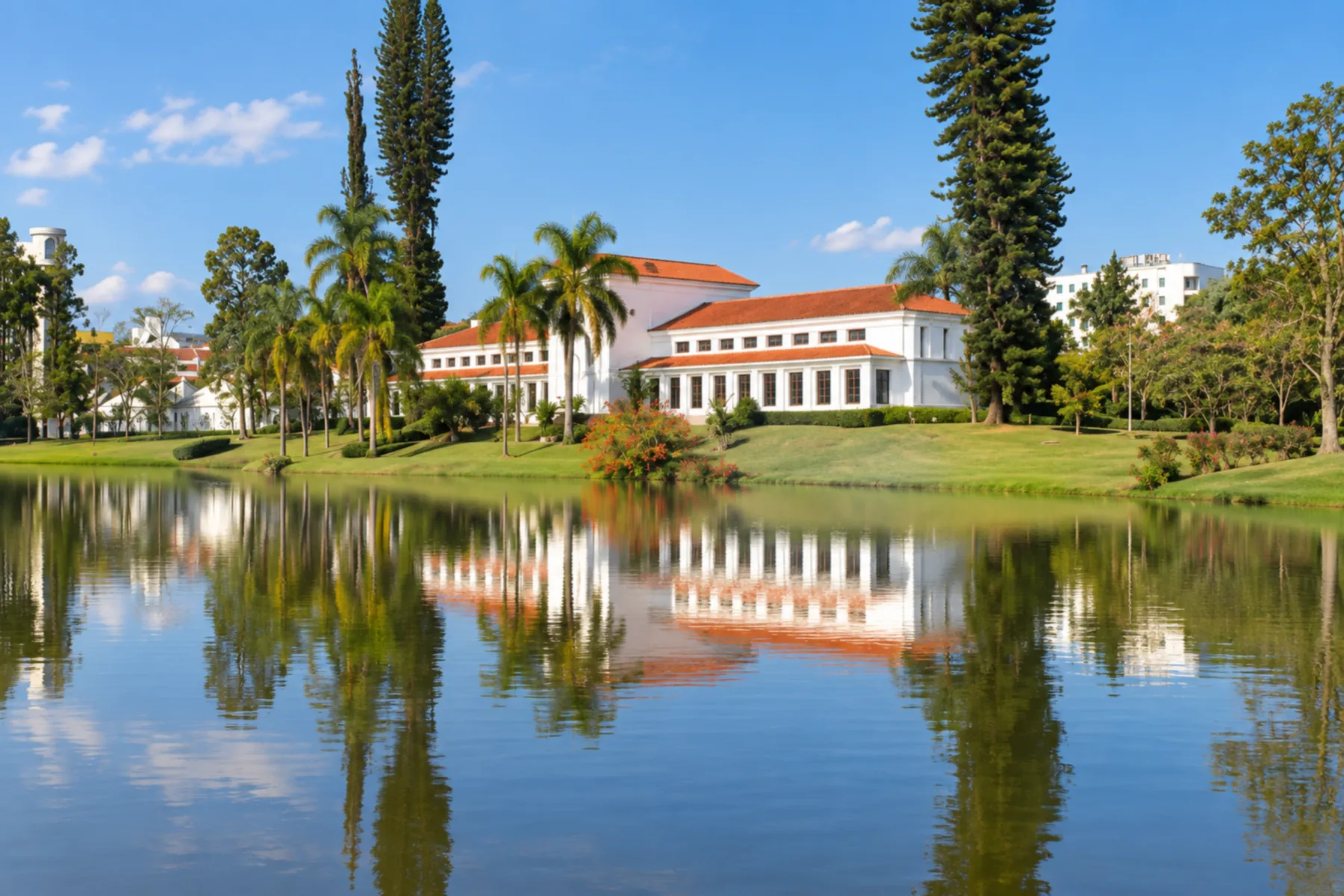
São Lourenço is part of the passage through South Minas before Pouso Alto. The historic connection crosses farms; check the indicated bridge detour for this stage.
→ Pouso Alto São Lourenço and Pouso Alto are linked on the historic route by dirt roads and small stretches of gravel, between houses and farms. The stage indicates a detour because of a bridge in inadequate condition; use the confirmed alternative, without crossing the old structure.
-
 14 · MG
Pouso Alto
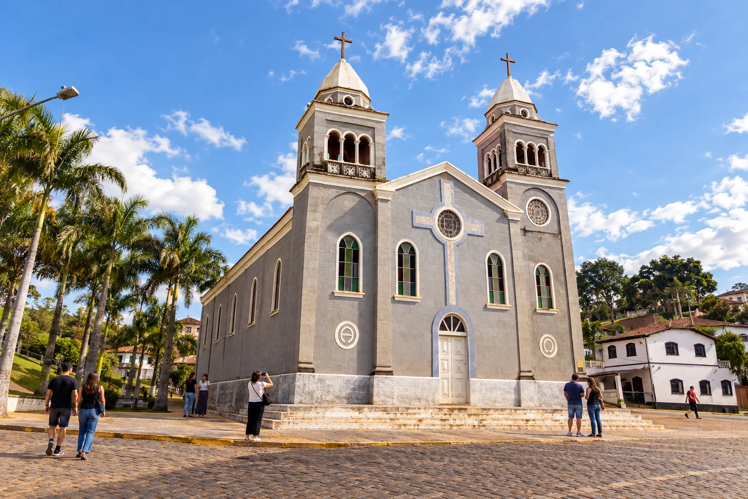
Pouso Alto lies between São Lourenço and Itamonte. The route includes São Sebastião and Capivari, with different accesses for the historic alignment and for vehicle traffic.
→ Itamonte From Pouso Alto to Itamonte, the passage includes São Sebastião and Capivari. The urban beginning is asphalted and the rural connection to Capivari is dirt; check the permitted access for the continuation to Itamonte before choosing the mode of travel.
-
 15 · MG
Itamonte
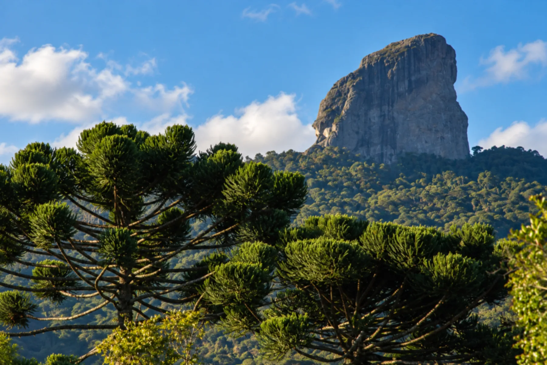
Itamonte precedes Itanhandu on this journey through the Mantiqueira. In the next stage, passing through woodland opens views over the valley and the mountain ranges.
→ Itanhandu The stage from Itamonte to Itanhandu crosses wooded areas, with shaded stretches and few relief changes. The landscape opens to the valley and the Serra da Mantiqueira before reaching the municipality crossed by the Rio Verde.
-
 16 · MG
Itanhandu
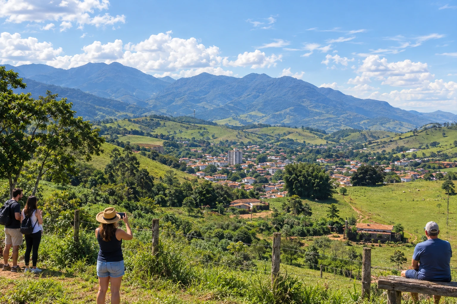
Itanhandu receives the route in the valley of the Rio Verde. From there, the route follows part of the old railway and runs parallel to the highway to Passa Quatro.
→ Passa Quatro Between Itanhandu and Passa Quatro, the Caminho Velho runs parallel to the highway that connects the towns and follows part of the old railway line. Farms and the Mantiqueira landscape characterize this stretch; distinguish the historic axis from the road you choose to drive.
-
 17 · MG
Passa Quatro
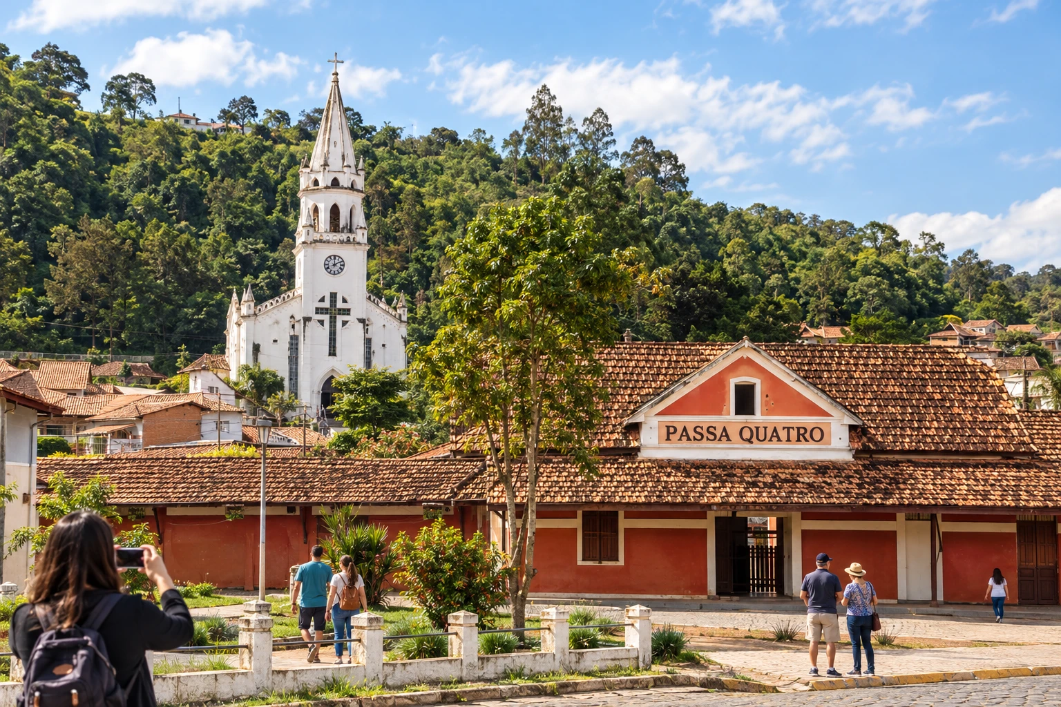
Passa Quatro is the last stop in Minas before the crossing through the Garganta do Embaú. At the border with São Paulo, the historic alignment includes a trail and references to the Túnel da Mantiqueira.
→ Cruzeiro Leave Passa Quatro for the Garganta do Embaú, on the Mantiqueira divide. The historic trail does not admit cars: vehicles use the SP-052. To reach the town of Cruzeiro, arrange an additional access to the main axis.
-
 18 · SP
Cruzeiro
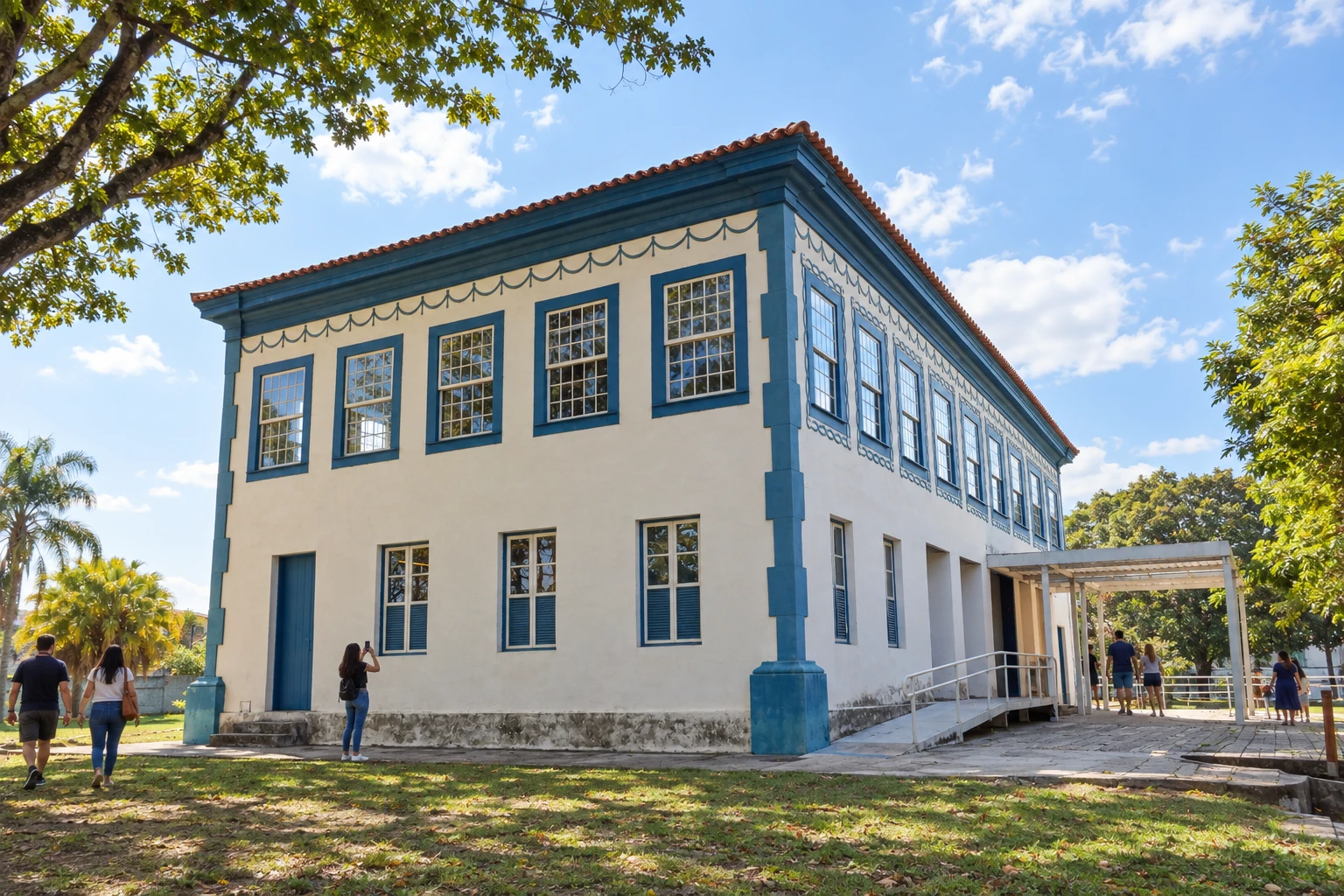
Cruzeiro includes the Garganta do Embaú, the Caminho Velho passage through the Mantiqueira. The urban seat lies outside the main axis on the map; the Museu Major Novaes allows you to learn about local memory.
→ Guaratinguetá After passing through Cruzeiro, resume the Caminho Velho axis through the Vila Embaú region to Guaratinguetá. The itinerary crosses rural areas of Cachoeira Paulista and Lorena; it does not require visiting those towns. Check the access from your base to the route.
-
 19 · SP
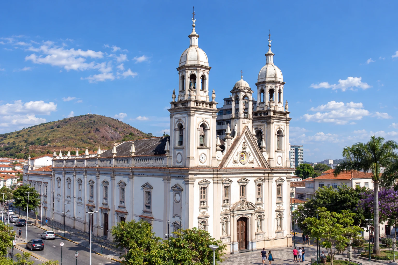
Guaratinguetá
Guaratinguetá receives the route in the Colônia do Piagui region. Continuing to Cunha leaves the Vale do Paraíba and gains elevation as it climbs toward the Serra do Mar.
→ Cunha Between Guaratinguetá and Cunha, the historic axis mixes asphalt and dirt and gains steep climbs when leaving the Vale do Paraíba. The landscape shifts from the Mantiqueira reference to the Serra do Mar; to go by highway, arrange access to Cunha via the SP-171.
-
 20 · SP
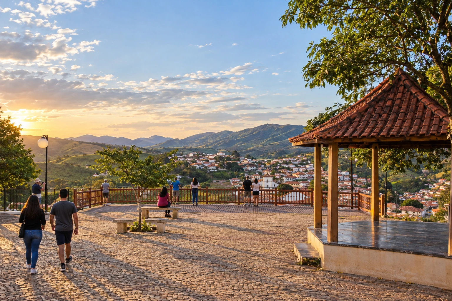
Cunha
Cunha links the São Paulo section to the descent to Paraty. The mountain transfer can be combined with nature walks and visits to the municipality's ceramics studios.
→ Paraty about 57 km From Cunha to Paraty, the route climbs to the divide and then descends the Serra do Mar toward the coast. The passage references the Pimenta and Mato Limpo waterfalls; choose the road link or the historic route according to conditions and the rules of the mountain accesses.
-
 21 · RJ
Paraty
Paraty concludes the Caminho Velho on the fluminense coast. The Chafariz do Pedreira and the Caminho do Ouro help identify the old connection between the port and the mines.
How many days
To cover part of the Caminho Velho by car, allow a week and choose a few bases between the historic towns, the spa towns and the coast. The full crossing requires more time for excursions and rest; organize the duration according to the mode of travel and the stages you actually intend to do.
Best time to go
Consider the weather forecast in the Mantiqueira and Serra do Mar, as well as the condition of rural roads. After rain, check the road surface and crossings before setting out. On urban visits, allow flexibility to change the order of stops.
How to travel it
Set off from Ouro Preto and choose successive stages to Paraty. Consult the spreadsheets to separate the historic axis from road accesses, especially on the trails, the Camargos crossing and the Garganta do Embaú. The municipal seats on the map are for locating stops, not for navigation.
Who it's for
Travelers interested in colonial heritage, spa towns and mountain scenery, with the possibility of ending the trip on the Paraty coast.
Length
About 710 km
Your questions
Frequently asked questions about the Estrada Real – Caminho Velho
Where does the Caminho Velho begin and end?
The trip presented starts in Ouro Preto, Minas Gerais, and ends in Paraty, Rio de Janeiro, passing through the state of São Paulo.
Which passage provides access to Cruzeiro?
The Garganta do Embaú is part of the Mantiqueira crossing in the municipality of Cruzeiro. To visit the urban seat, arrange access separate from the main axis of the itinerary.
Do the 710 km correspond to the trip between the city centers?
No. The figure is the official length of the Caminho Velho published by the Instituto Estrada Real. Visits to town centers and attractions can add extra travel.
Can you drive along the trail alignments?
There are sections of trail exclusive to foot traffic on the route. Use the road alternatives and check the stage notes before entering with a vehicle.
Do I need to sleep at all 21 stops?
Choose bases that allow you to visit the towns of greatest interest and continue the route. The municipal stops do not require an overnight stay in every town.