
Route · SC
Serra do Rio do Rastro
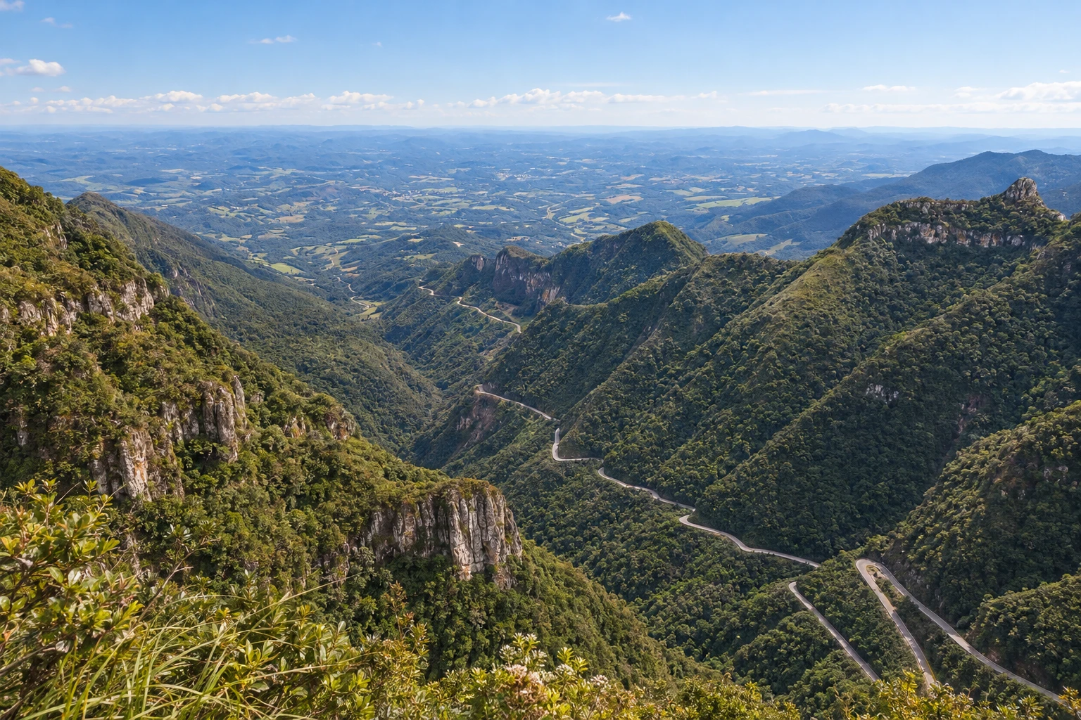
From the base in Lauro Müller to the plateau in Bom Jardim da Serra, along the curves of the SC-390.
In the photo: Serra do Rio do Rastro, in Santa Catarina
Illustrative images. The pictures in this guide are illustrations based on the real place, not photographs, and may differ from it.

The route
What the Serra do Rio do Rastro is
The Serra do Rio do Rastro connects Lauro Müller to Bom Jardim da Serra via the SC-390. This route presents the climb from the base of the mountain to the plateau; it is also possible to organize the trip in the opposite direction. The road is the axis of the outing, with curves between cliff faces and slopes covered in forest.
Lauro Müller serves as the reference point to start the route from the lower side. Bom Jardim da Serra marks the arrival at the plateau and allows combining the trip with the view from the viewpoint at the top of the mountain. Stops to observe the landscape should be made in appropriate locations.
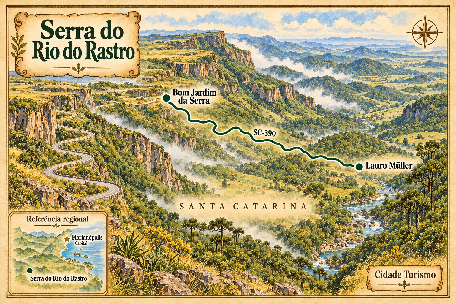
The map shows the relative position of the two towns and an illustrative connection between them. Florianópolis appears as a reference for the capital, outside the route. The drawing does not represent every curve and does not replace navigation.
Check the notices about the SC-390 and the forecast before leaving. Fog can reduce visibility and cold can change road conditions. Allow margin in your planning to adjust stops and travel time.
The map
2 cities along the way
The journey
City by city
Distances and times are approximate: check before you set off.
-
 1 · SC
Lauro Müller
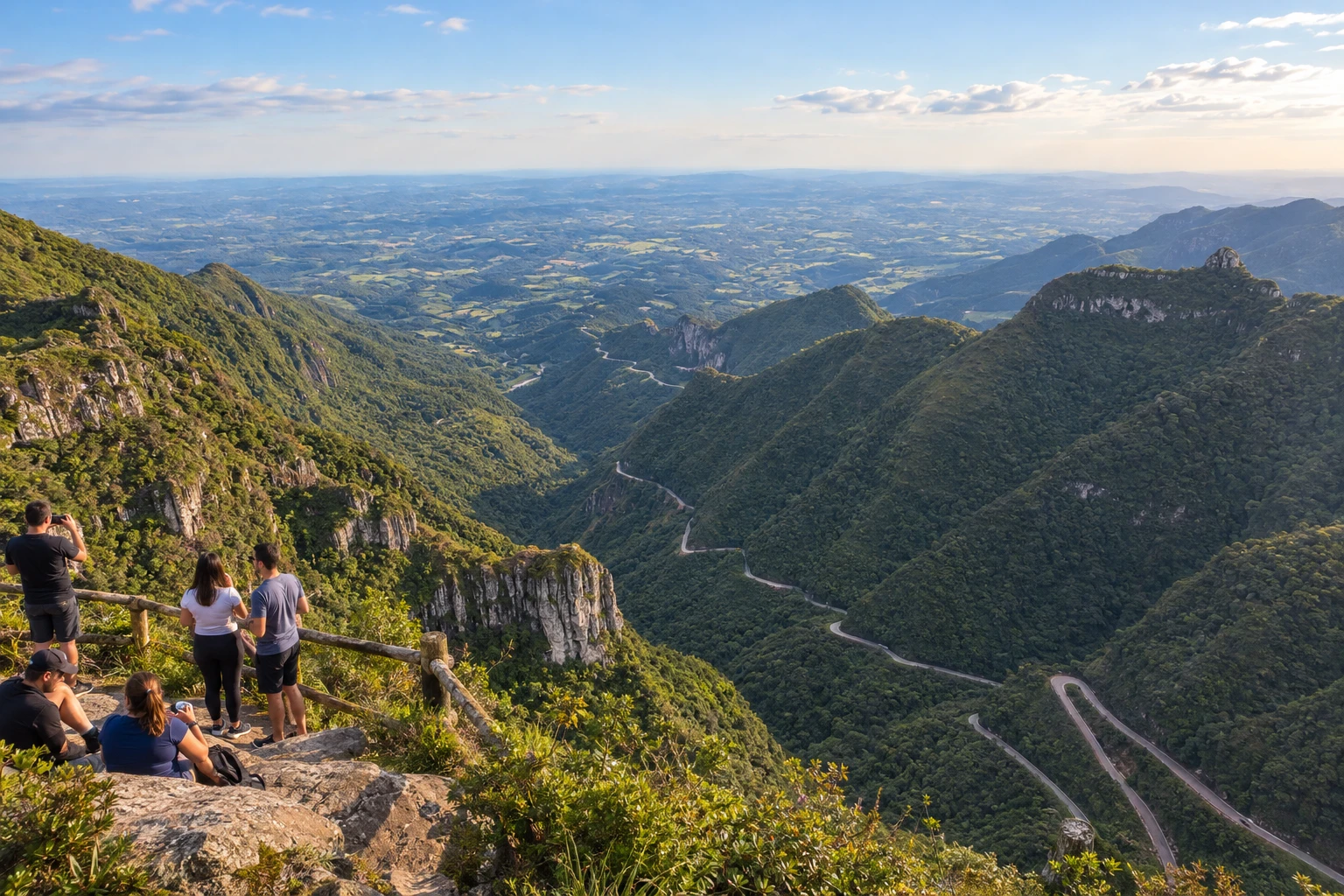
Reference point on the lower side of the serra. In this route, it is the starting point for the climb via the SC-390.
→ Bom Jardim da Serra The SC-390 connects Lauro Müller to the Bom Jardim da Serra plateau via the Serra do Rio do Rastro. The climb combines tight curves, cliff faces and Mata Atlântica; view the landscape only at permitted stopping points and check visibility.
-
 2 · SC
Bom Jardim da Serra
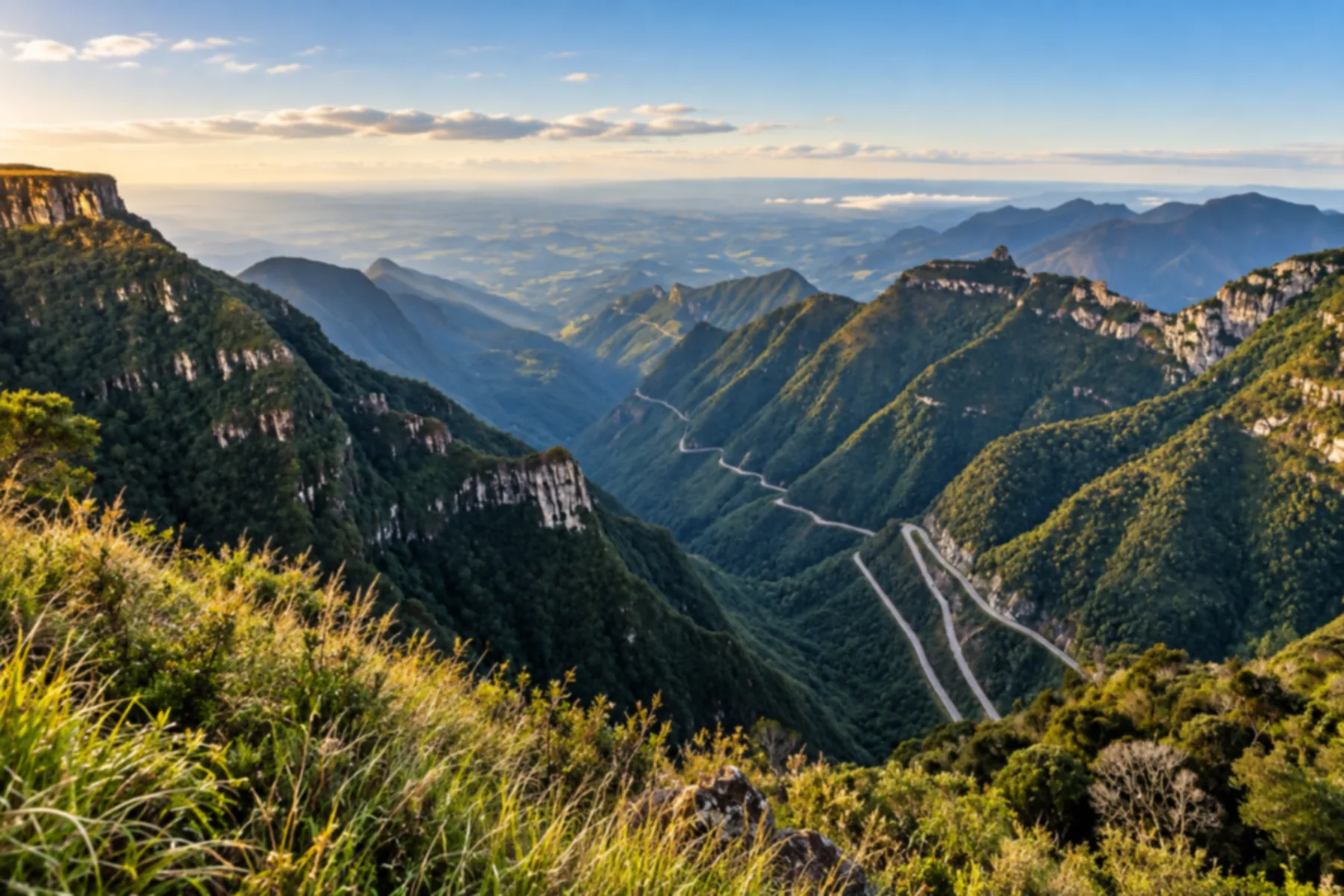
Reference point for the plateau and arrival at the top of the mountain. Allows combining the route with the view from the viewpoint.
How many days
We suggest one day to travel the serra and choose stops. Allow two days if you want to combine the route with visits in the towns and avoid concentrating arrival and return on the same day. Duration depends on traffic conditions and the group's pace.
Best time to go
Plan according to the forecast for your date. The landscape depends on visibility; fog can obscure the view. In winter, follow notices about cold and road conditions. Confirm that the route is open before starting the mountain section.
How to travel it
Travel along the SC-390 by car or with hired transport. Respect the signage and stop only in appropriate places. Check official notices, adjust your trip to the visibility and confirm road conditions close to departure.
Who it's for
For those looking for mountain scenery and a road trip with stops. The road requires attention when driving. If you prefer to take in the surroundings while moving, arrange transport with a driver.
Your questions
Frequently asked questions about the Serra do Rio do Rastro
Does the route have to be done in the uphill direction?
No. Here we present Lauro Müller followed by Bom Jardim da Serra, but the itinerary can also be organized in the opposite direction.
Which road connects the two towns?
The main axis of the route is the SC-390, which crosses the Serra do Rio do Rastro.
How many days should I reserve?
As an editorial suggestion, one day allows you to travel the serra with stops. Two days give leeway to include visits in the towns and organize arrival and return.
How can I check the road conditions?
Check the official road notices and the forecast close to departure. Adjust the itinerary to traffic and visibility conditions.
Is the map suitable for navigation?
No. It is an illustration of the sequence and the relative positions of the towns; the drawing does not reproduce every curve of the road.