
Route · GO
Caminho de Cora Coralina
A crossing on foot or by bicycle through the Cerrado, between historic towns, mountain ridges and rural villages in Goiás.
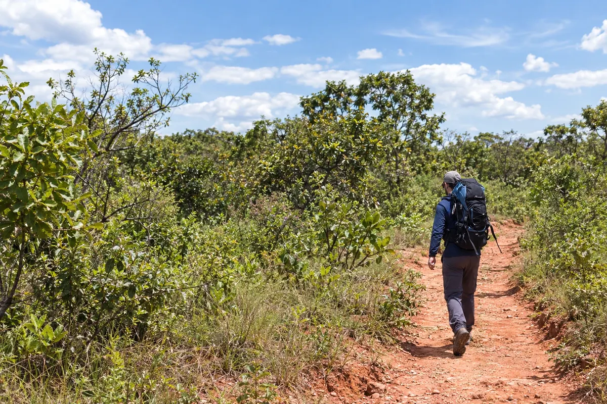
In the photo: Hike on a dirt trail on the Caminho de Cora Coralina.
Illustrative images. The pictures in this guide are illustrations based on the real place, not photographs, and may differ from it.

The route
What the Caminho de Cora Coralina is
The Caminho de Cora Coralina links Corumbá de Goiás to Cidade de Goiás, passing through eight municipalities. It is a long-distance route for several days of walking or cycling, with dirt roads, mountain trails and some paved sections. The history of mining and the poet’s work accompany the route.
Municipalities organize the itinerary, but accommodations are distributed into their own stages. The crossing includes Parque Estadual dos Pireneus, Caxambu, Radiolândia, Vila Aparecida, Alvelândia, Palestina, São Benedito, Calcilândia and Ferreiro. Cocalzinho is represented by the passage through the park’s territory; in Itaberaí the axis goes through São Benedito.
Prepare the trip in advance with water, food, reservations and directions for each stage. The presence of a village or support point does not guarantee service on every day. The arrival takes place beside the Museu Casa de Cora Coralina, at the Casa Velha da Ponte.
The map
8 cities along the way
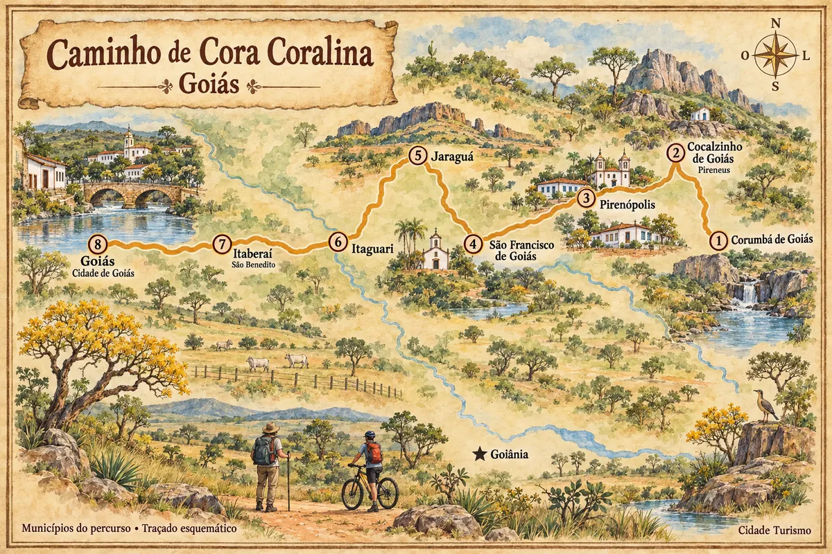
Mapa: @svg-maps/brazil, CC BY 4.0
The journey
City by city
Distances and times are approximate: check before you set off.
-
 1 · GO
Corumbá de Goiás
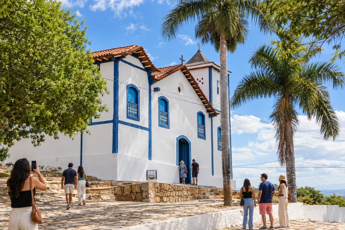
Corumbá de Goiás arose with mining along the Rio Corumbá and the Ribeirão Bagagem. The old-town houses and the Igreja Nossa Senhora da Penha de França preserve that memory, while the Cavalhadas are part of the local tradition. The main square marks the start of the Caminho de Cora Coralina for walkers and cyclists.
→ Cocalzinho de Goiás The departure from the praça da matriz uses urban streets and a local road to BR-414. After passing by the Salto de Corumbá, the route goes onto dirt roads and trails to reach Parque Estadual dos Pireneus from the Cocalzinho side.
-
 2 · GO
Cocalzinho de Goiás
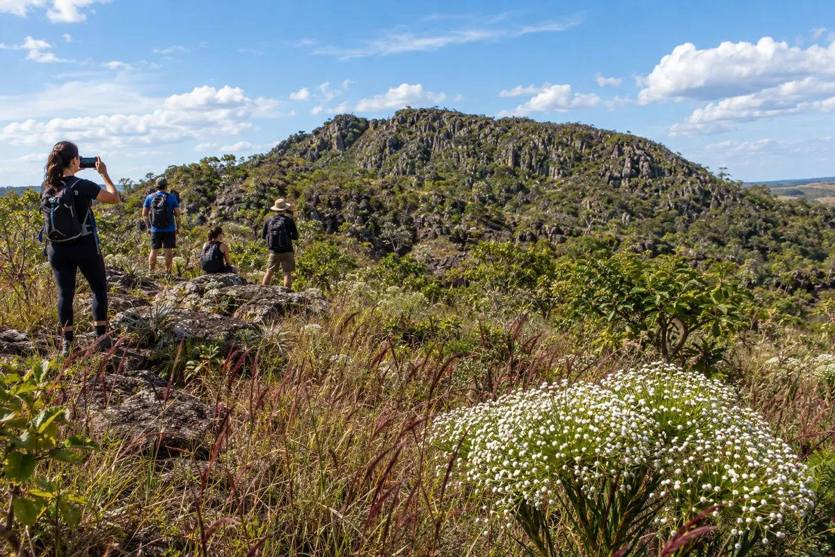
Cocalzinho de Goiás grew around a cement factory and became an independent municipality in 1990. Parque Estadual dos Pireneus preserves the rupestrian Cerrado and the Capela da Santíssima Trindade on the peak. The Caminho de Cora Coralina crosses this mountainous landscape via the municipal territory, without requiring passage through the urban center.
→ Pirenópolis The crossing of the Pireneus passes the watershed divide between the Paraná and Tocantins basins. The descent follows old roads and trails; the approach into town follows the Rio das Almas to Pirenópolis.
-
 3 · GO
Pirenópolis
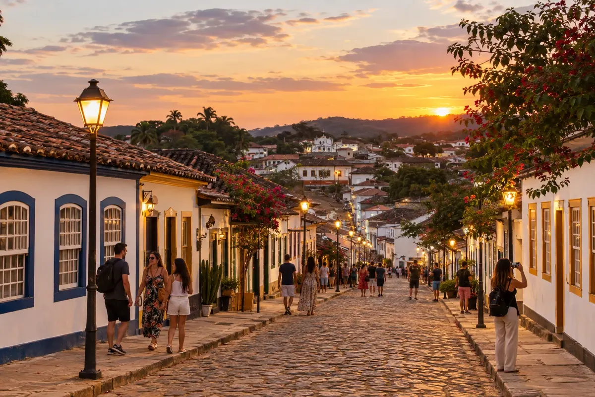
Pirenópolis preserves colonial houses and the Igreja Matriz de Nossa Senhora do Rosário beside the Rio das Almas. The Cavalhadas and the masked performers express the Festa do Divino tradition. Along the Caminho de Cora Coralina, the territory also includes Caxambu and Radiolândia, villages linked by rural roads and mountain passes.
→ São Francisco de Goiás After Pirenópolis, the route crosses the Paraíso and Caxambu ranges. The continuation through Caxambu and Radiolândia mixes rural roads and paved stretches, among fields and views of the Serra do Loredo and Serra do Chibio.
-
 4 · GO
São Francisco de Goiás
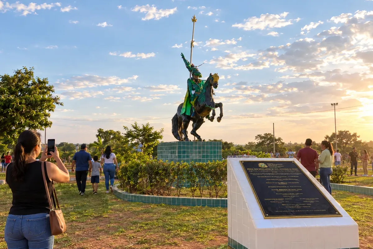
São Francisco de Goiás maintains the Cavalhadas and the Praça das Cavalhadas as cultural landmarks. The landscapes of the Serra do Loredo and Serra do Chibio appear on the rural approaches of the Caminho de Cora Coralina. The town center offers a stop to prepare the walking or cycling stage that follows the Rio Pari valley.
→ Jaraguá Stage reference: 9 h on foot or 7 h by MTB. The official stage is 31.8 km. The start leaves São Francisco on pavement and continues on a local road through the Rio Pari valley. There are crossings with BR-070 and the Ferrovia Norte-Sul; the stage ends at Igreja Nossa Senhora do Rosário, at the foot of Serra de Jaraguá.
-
 5 · GO
Jaraguá
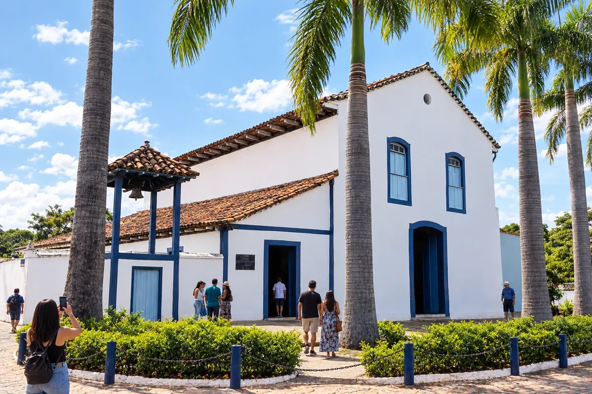
Jaraguá combines the heritage of the Igreja de Nossa Senhora do Rosário and the Igreja de Nossa Senhora da Conceição with a garment industry that shapes its economy. The Museu Histórico Municipal presents local memory, and Serra de Jaraguá opens views over the Cerrado. The Caminho de Cora Coralina ascent climbs the ridge before reaching the municipality’s villages.
→ Itaguari The ascent of Serra de Jaraguá reaches the towers and descends the west side via trail and dirt road. The route continues through Vila Aparecida, Alvelândia and Palestina across agricultural areas before reaching Itaguari.
-
 6 · GO
Itaguari
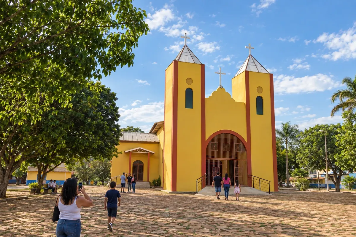
Itaguari originated from the settlement of Campestre and is known for lingerie manufacturing. Igreja São Sebastião and the Folia de Reis groups are part of the municipality’s identity. The Caminho de Cora Coralina approaches through agricultural areas and continues on dirt roads; water and lodgings should be arranged before setting out.
→ Itaberaí The link from Itaguari to the territory of Itaberaí reaches São Benedito via rural roads between crops and cattle ranches. Bring the water needed for the stage: the association does not indicate resupply on this route.
-
 7 · GO
Itaberaí
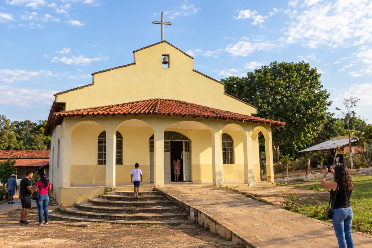
Itaberaí originated in the former Curralinho, beside the Rio das Pedras. Its district of São Benedito, formerly called Olhos d’Água, is known for polvilho production and is crossed by the Caminho de Cora Coralina. The walk and the ride pass through the municipality’s rural area; visiting the town center is an additional excursion off the main route.
→ Cidade de Goiás From São Benedito, the walk alternates between paved roads and rural tracks, crosses the Rio Uru and continues through Calcilândia and Ferreiro. The finish uses the GO-164, the Largo da Carioca and the old streets up to the Casa Velha da Ponte.
-
 8 · GO
Cidade de Goiás
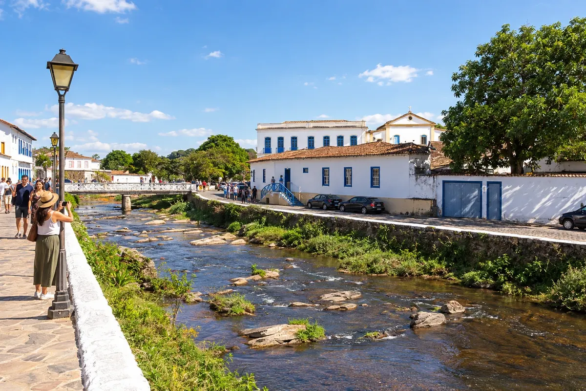
Goiás, known as Cidade de Goiás or Vila Boa, was the state capital and its historic center is recognized as a World Heritage site. Rio Vermelho runs through the cluster of streets and bridges, and the Museu Casa de Cora Coralina preserves the writer’s life and work. Arrival at the Casa Velha da Ponte concludes the Caminho de Cora Coralina.
How many days
For the entire crossing, planning reference is 13 to 15 days on foot or four to eight days by bicycle. Add buffer days for rest and cultural visits. Duration depends on fitness, weather and the chosen accommodations.
Best time to go
Drier months favor the dirt roads, but strong sun and low humidity require proper preparation. In the rainy season, check trail and crossing conditions before deciding on stages.
How to travel it
Choose footwear or a bike suitable for dirt roads and trails. Arrange accommodations, food and water resupply before departure. Use the trail signage and the route’s navigation files, which are available for offline use. Support vehicles require road access in some sections.
Who it's for
For hikers and bikepackers prepared for several days in the Cerrado, interested in historical heritage, poetry and rural landscapes. Doing only a section also requires logistics for arrival and return.
Your questions
Frequently asked questions about the Caminho de Cora Coralina
Do I need to book accommodations before starting?
Yes. Arrange each overnight stay and meals directly with the support points. Availability varies along the trail and should not be assumed for every location.
What bike is suitable for the route?
The crossing includes dirt sections, trails, climbs and paved stretches. A bicycle prepared for those surfaces, with a maintenance check and supplies for minor repairs, is the recommended choice; assess your readiness for the load and the stages.
Can I do only some stages?
You can arrange a partial hike or bike section. Arrange transport to reach the chosen point and to return, and check the permitted access in the parks and properties along the stage.
How should I plan water and food?
Check resupply opportunities before each departure and bring sufficient provisions. On the stage from Itaguari to São Benedito, do not rely on obtaining water along the route.
Is there a passport and stamps for the route?
There is a hiker's passport and there are stamping points. Check the collection and service locations before traveling, especially when the route passes through rural areas.
Does a support vehicle accompany all sections?
Some passages are trails and do not allow the same route for vehicles. Arrange meeting points and road detours before you start, especially on the section through the Pireneus.