
Route · RS
Caminho das Missões
A walking pilgrimage between São Borja and Santo Ângelo, across fields and dirt roads, with stops at Jesuit-Guarani heritage sites.
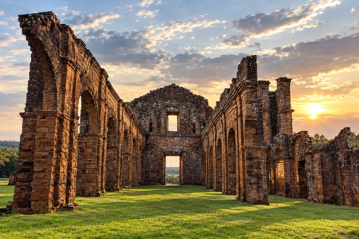
In the photo: Sítio Arqueológico de São Miguel Arcanjo — Região das Missões, Rio Grande do Sul.
Illustrative images. The pictures in this guide are illustrations based on the real place, not photographs, and may differ from it.

The route
What the Caminho das Missões is
The Caminho das Missões is a walking pilgrimage along old mission connections in the northwest of Rio Grande do Sul. The documented Brazilian version begins in São Borja and arrives in front of the Catedral Angelopolitana in Santo Ângelo. Rural paths, fields and dirt roads are part of the experience, along with urban stretches and road sections.
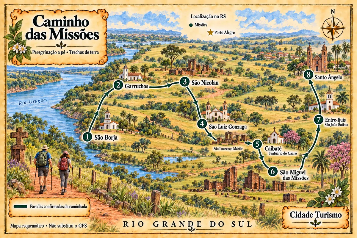
This route brings together eight municipalities with confirmed stops in the walking program. São Lourenço Mártir is a site in São Luiz Gonzaga; the Santuário do Caaró is in Caibaté; São João Batista belongs to Entre-Ijuís. These are historic stops within those municipalities, not separate towns.
The walk includes crossings and support transfers provided in the operator's version. The map shows a schematic sequence of stops, without depicting every road or guaranteeing that the entire transfer will be done on foot. Before starting, confirm the updated guide, reception in the communities, overnight stays and operational alternatives.
The map
8 cities along the way
Mapa: @svg-maps/brazil, CC BY 4.0
The journey
City by city
Distances and times are approximate: check before you set off.
-
 1 · RS
São Borja
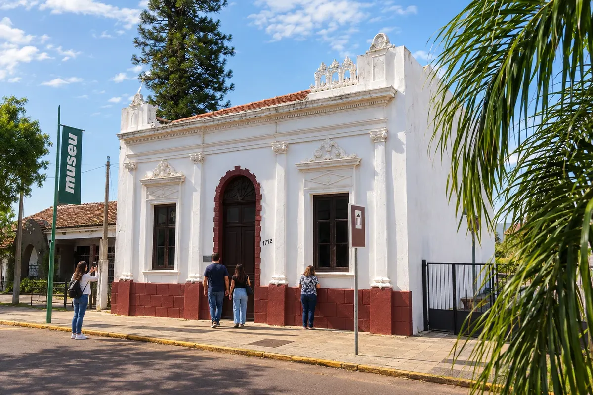
São Borja marks the start of the full version of the pilgrimage. The memory of Getúlio Vargas is housed in the museum installed in his former residence, and the Memorial Casa João Goulart presents Jango's trajectory. Before heading out to the fields, the walker receives guidance and arranges rural support.
→ Garruchos The program goes through communities and fields, passes the Passo da Barca and Sarandi areas, and foresees navigation on the Rio Uruguai or alternative transport. Arrival in the São José Velho area depends on the supports provided by the chosen walking version.
-
 2 · RS
Garruchos
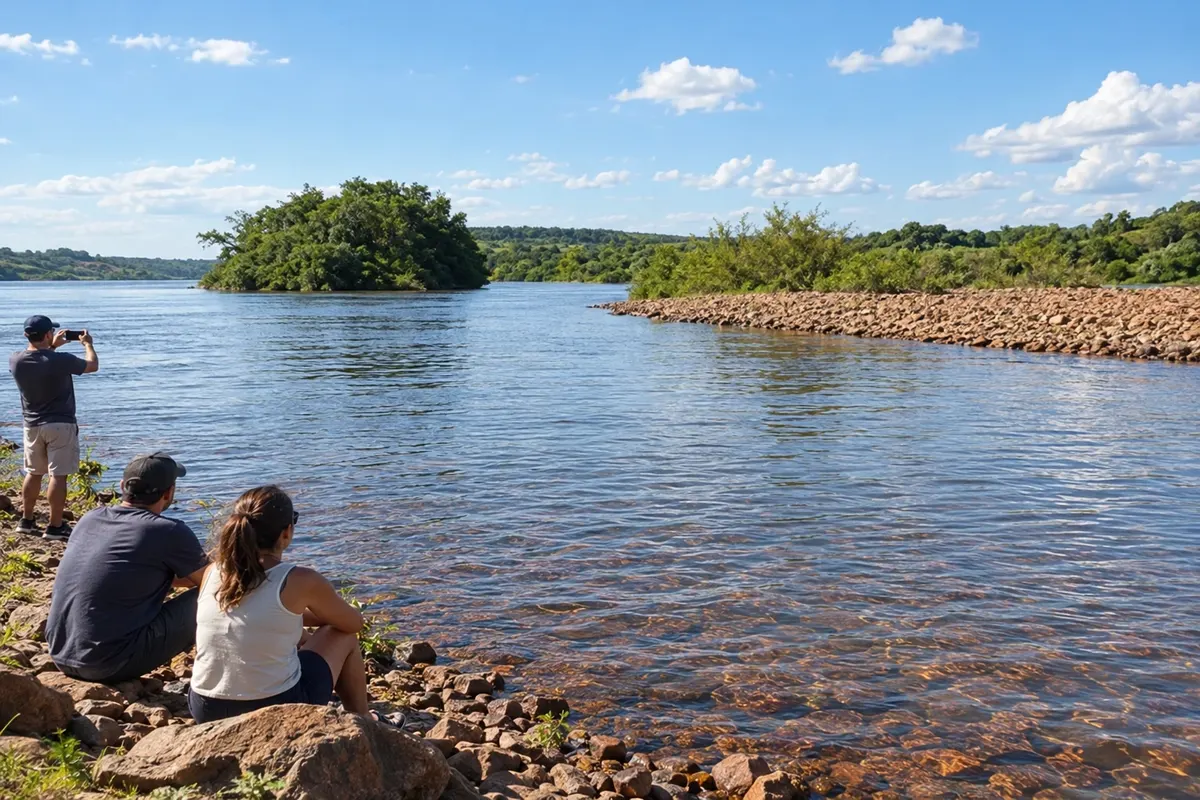
The community of São José Velho hosts stages of the route in Garruchos. The Rio Uruguai accompanies rural landscapes, and the old Passo de Garruchos recalls the history of crossings. The documented overnight involves a rural reception arranged in advance, rather than a generic urban arrival.
→ São Nicolau Rural stages near the Rio Uruguai lead to a boat crossing on the Rio Piratini and arrival at São Nicolau. Confirm the operation of the crossing with the organization; this is not a connection between municipal seats via the shortest highway.
-
 3 · RS
São Nicolau
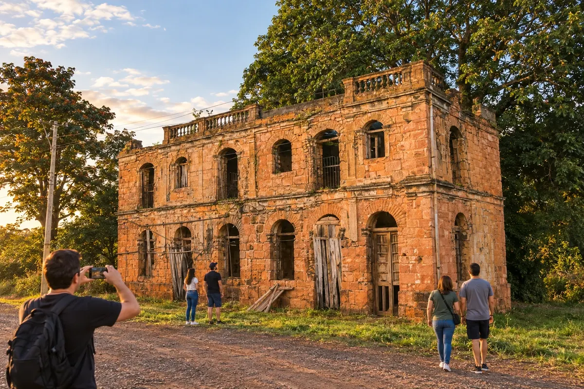
The remains of the Sítio Arqueológico de São Nicolau and the stones reused in the Sobrado Silva show two layers of the municipal history. The walking program also mentions the room Fragmentos de uma Civilização. The stop combines heritage and rest before continuing inland.
→ São Luiz Gonzaga The route leaves the São Nicolau site heading inland, uses support in Rincão dos Teixeira and continues to São Luiz Gonzaga. Fields and rural roads compose this link, as described in the walking stage.
-
 4 · RS
São Luiz Gonzaga
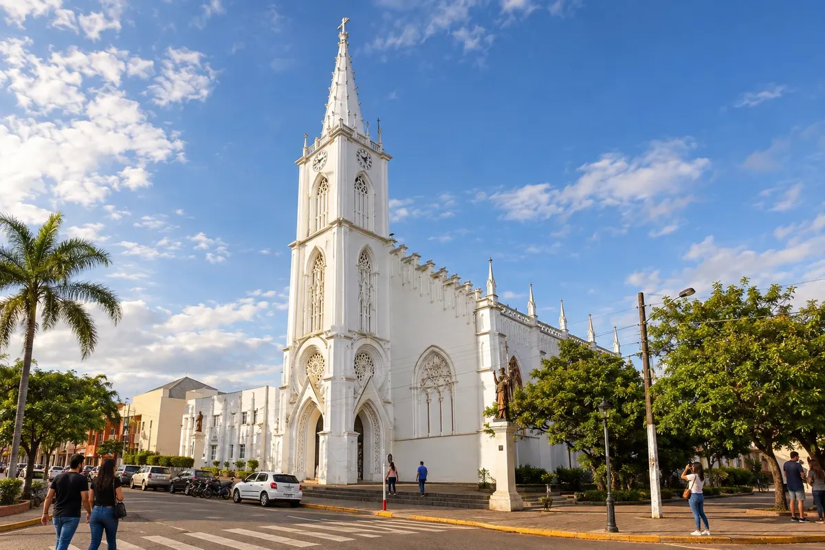
In São Luiz Gonzaga, the parish church (matriz) preserves missionary statuary and the Gruta Nossa Senhora de Lourdes adds an urban religious reference. The route continues through the area of São Lourenço Mártir, an archaeological site within the municipal territory, without adding a new town to the list.
→ Caibaté The departure from São Luiz Gonzaga passes through the rural area of Laranja Azeda and the Sítio Arqueológico de São Lourenço Mártir. The walk continues along dirt roads to the Santuário do Caaró, in the territory of Caibaté.
-
 5 · RS
Caibaté
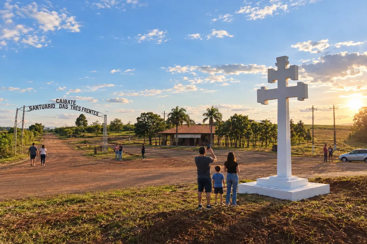
The Santuário do Caaró is the confirmed stop in the territory of Caibaté. The memory of the missionary martyrs and the Romaria to Caaró give the place its own significance. The marker refers to the rural sanctuary; the stage will not be presented as an obligatory passage through the municipal seat's town centre.
→ São Miguel das Missões From the Caaró, the program proceeds across fields and dirt paths, including a road section at the entrance to São Miguel das Missões. The starting point is the rural sanctuary, not the municipal seat of Caibaté.
-
 6 · RS
São Miguel das Missões
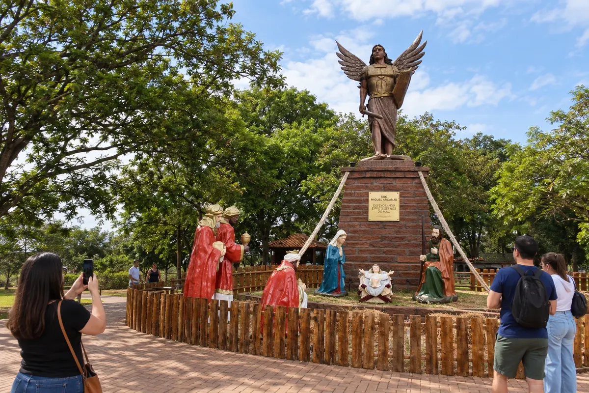
The ruins of São Miguel Arcanjo and the Guarani sculptures of the Museu das Missões define the heritage of São Miguel das Missões. The Praça das Missões offers another perspective on this ensemble. Visiting exhibitions and attending the Som e Luz requires independent availability in addition to the time allotted for the walking stage.
→ Entre-Ijuís The consulted version walks through Carajazinho and uses a support transfer to São João Batista, in Entre-Ijuís. After the visit to the site, it continues to the Parque das Fontes; the connection is not presented as an uninterrupted walk.
-
 7 · RS
Entre-Ijuís
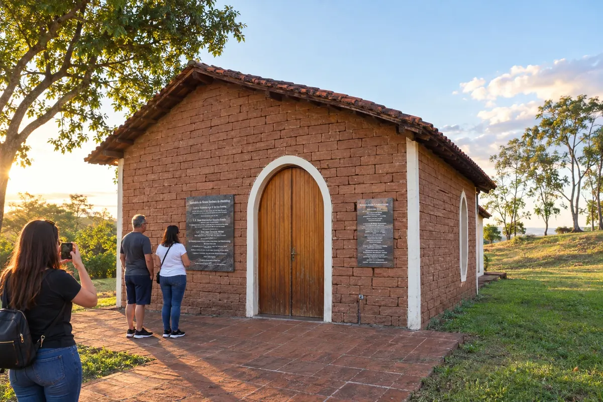
Entre-Ijuís receives the walk at the heritage site of São João Batista and in the Parque das Fontes area. The Capela Nossa Senhora de Altöetting has an octagonal form and references the devotion of Antonio Sepp. The stage includes support to reach the site; it will not be described as an entirely on-foot transfer.
→ Santo Ângelo The final stage goes along dirt roads and urban areas of Entre-Ijuís and Santo Ângelo, with a crossing of the bridge over the Rio Ijuí. The arrival destination is the Catedral Angelopolitana, and return transport must be arranged.
-
 8 · RS
Santo Ângelo
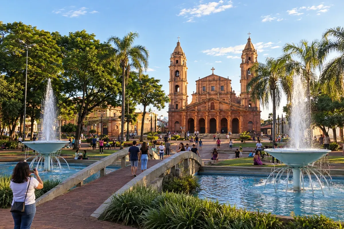
Santo Ângelo closes the route in front of the Catedral Angelopolitana. The Museu Doutor José Olavo Machado presents municipal and mission memory, while the Museu Ferroviário Jovenil Menezes displays the history of the railways. Visiting these collections may require staying on after arrival.
How many days
The consulted walking program lasts 15 days, including the preparation prior to the walk. Shorter versions depart from other points; choose the modality with the organizer and allow time to visit the local collections.
Best time to go
Assess the forecast for heat, cold and rain for the field stages. After persistent rain, check the condition of dirt roads and the available crossings before departure.
How to travel it
Walk with the operational guide for the chosen version and equipment suitable for rural terrain. Arrange water, food, luggage and reception; support transport and crossings must follow the confirmed conditions. Car trips and visits off the route require separate planning.
Who it's for
For those who want a pilgrimage with walking stages, are prepared for rural paths and agree to arrange overnight stays and support before travelling. The full experience requires physical preparation and guidance about the route.
Your questions
Frequently asked questions about the Caminho das Missões
Is this route by car or on foot?
The itinerary follows the documented pilgrimage on foot between São Borja and Santo Ângelo. Road trips in the region have different schedules and access arrangements.
Does the walk visit the entire Região das Missões?
The route has documented stops between São Borja and Santo Ângelo. It does not include all the towns in the region; check the guide for the chosen modality before planning stages and local excursions.
Is the entire pilgrimage done on foot?
The consulted program includes walking days, crossings and support transfers. Navigation and transport options need to be arranged with the organization.
How can I check the distance of the mission walk?
Check the guide for the chosen modality. Versions vary, and stage distances may include crossings or support transfers; don’t confuse those figures with distances between urban centers.
Is it possible to start the walk closer to the end point?
There are shorter versions of the pilgrimage. Check with the organization to choose a starting point and the corresponding schedule, rather than cutting stages without adjusting support.