
Route · RS,SC
Caminhos dos Cânions do Sul
Seven municipalities between the coast and the Serra Geral, with canyons, waterfalls, paleotocas and rural paths in the territory of the Geopark.
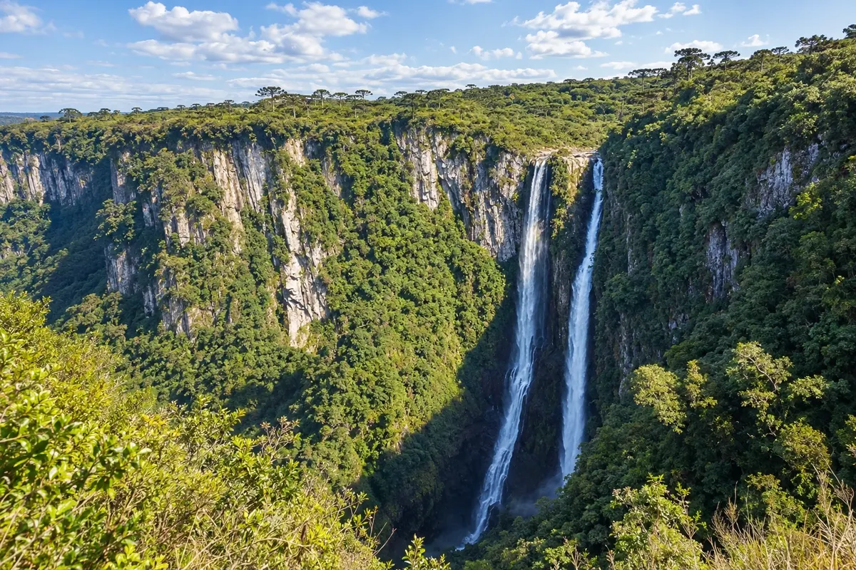
In the photo: Cânion Itaimbezinho, in the territory of the Geoparque Caminhos dos Cânions do Sul.
Illustrative images. The pictures in this guide are illustrations based on the real place, not photographs, and may differ from it.

The route
What the Caminhos dos Cânions do Sul are
The Caminhos dos Cânions do Sul traverse the territory of the UNESCO Global Geopark, between Rio Grande do Sul and Santa Catarina. The route brings together seven municipalities, featuring coastal landscapes, the slopes of the Serra Geral, canyons, cascades and paleotocas. The Geopark is a territory for conservation, education and tourism, without a single mandatory route.
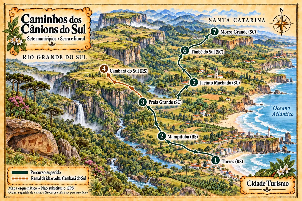
The order adopted starts at the coast, continues through rural areas and includes a branch that climbs to the plateau. Visiting the high part requires returning via the mountain before continuing through the foothill towns in Santa Catarina. This sequence is a travel suggestion based on road connections and the attractions' access points; the numbering does not correspond to daily stages nor to a continuous road along the canyon rims.
Travel between towns is by road. Trails into the canyon interiors, visits to paleotocas and entries onto private properties have their own scheduling, with authorization and guides when required. The illustrated map shows the connections schematically; prepare your navigation and check access conditions before traveling.
The map
7 cities along the way
Mapa: @svg-maps/brazil, CC BY 4.0
The journey
City by city
Distances and times are approximate: check before you set off.
-
 1 · RS
Torres
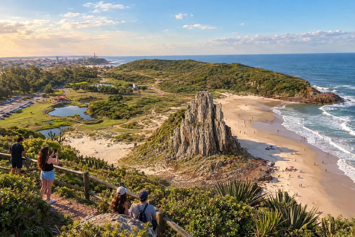
Torres brings together the hills Farol and Guarita, landmarks of its rocky coast. The Parque Estadual de Itapeva protects dunes and coastal vegetation. The town starts the route with coastal landscapes and time for walks on the beach and in the parks.
→ Mampituba Leave the coast via the RS-494 connection and enter the accesses to Mampituba. The transfer leaves the coastal area and begins to follow the agricultural landscape; the entrance to each rural outing should be confirmed separately.
-
 2 · RS
Mampituba
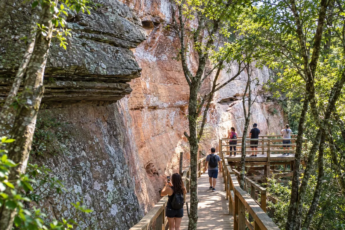
Mampituba features the Cachoeira dos Borges and the Santuário Nossa Senhora Aparecida among its visit highlights. Banana plantations accompany the rural landscape beside the Serra Geral. The stop adds a religious visit or a nature activity to the trip through the territory.
→ Praia Grande Cross via the local access routes through the Rio Mampituba valley to the town of Praia Grande. Use the indicated connection for vehicles and the chosen starting point; property roads and trail paths do not substitute for the road crossing.
-
 3 · SC
Praia Grande
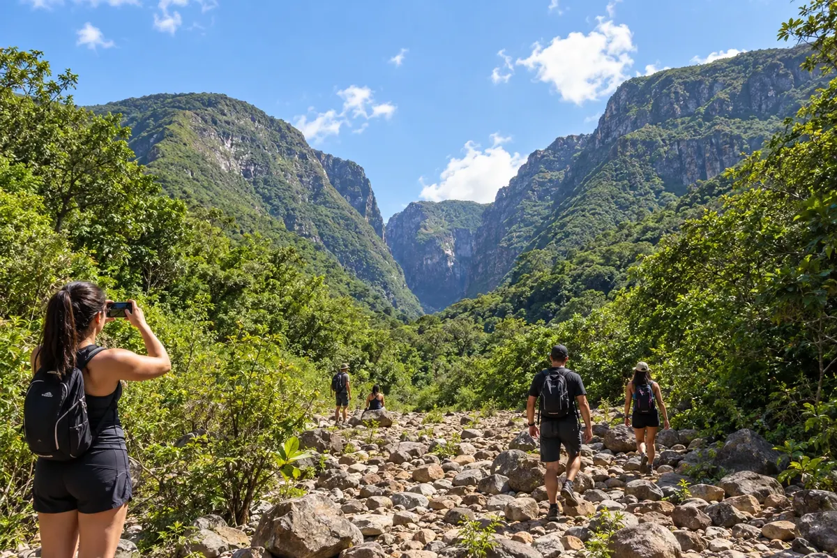
Praia Grande allows access to the interior of Itaimbezinho via the Trilha do Rio do Boi, with water crossings and guided accompaniment. The Cânion Malacara offers another walk along the riverbed. The town serves as a base at the foothill, with departures via the Serra do Faxinal for visits to the plateau.
→ Cambará do Sul Ascend the Serra do Faxinal via SC-290, continuing on RS-427 to Cambará do Sul. The connection overcomes the escarpment of the Serra Geral and changes from the foothill to the plateau; check road conditions before the climb.
-
 4 · RS
Cambará do Sul
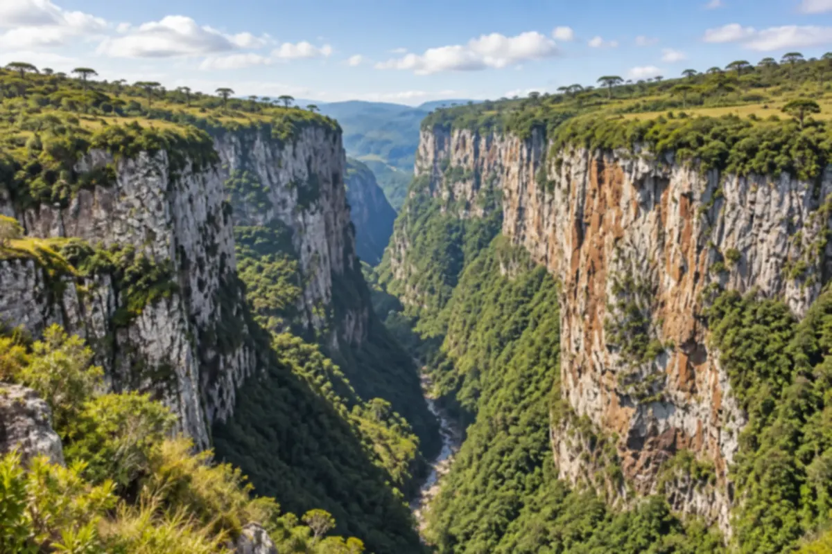
Cambará do Sul hosts visits to the rims of the Itaimbezinho and Fortaleza canyons. At Itaimbezinho, the Vértice and Cotovelo trails allow observation of the valley's opening from above. The municipality is a branch on the plateau; continuing this itinerary requires returning via the mountain.
→ Praia Grande Return from the plateau via RS-427 and SC-290, descending the Serra do Faxinal. The return to the foothill is necessary to resume this sequence; the Fortaleza rim does not offer a direct road to the next town.
-
 5 · SC
Jacinto Machado
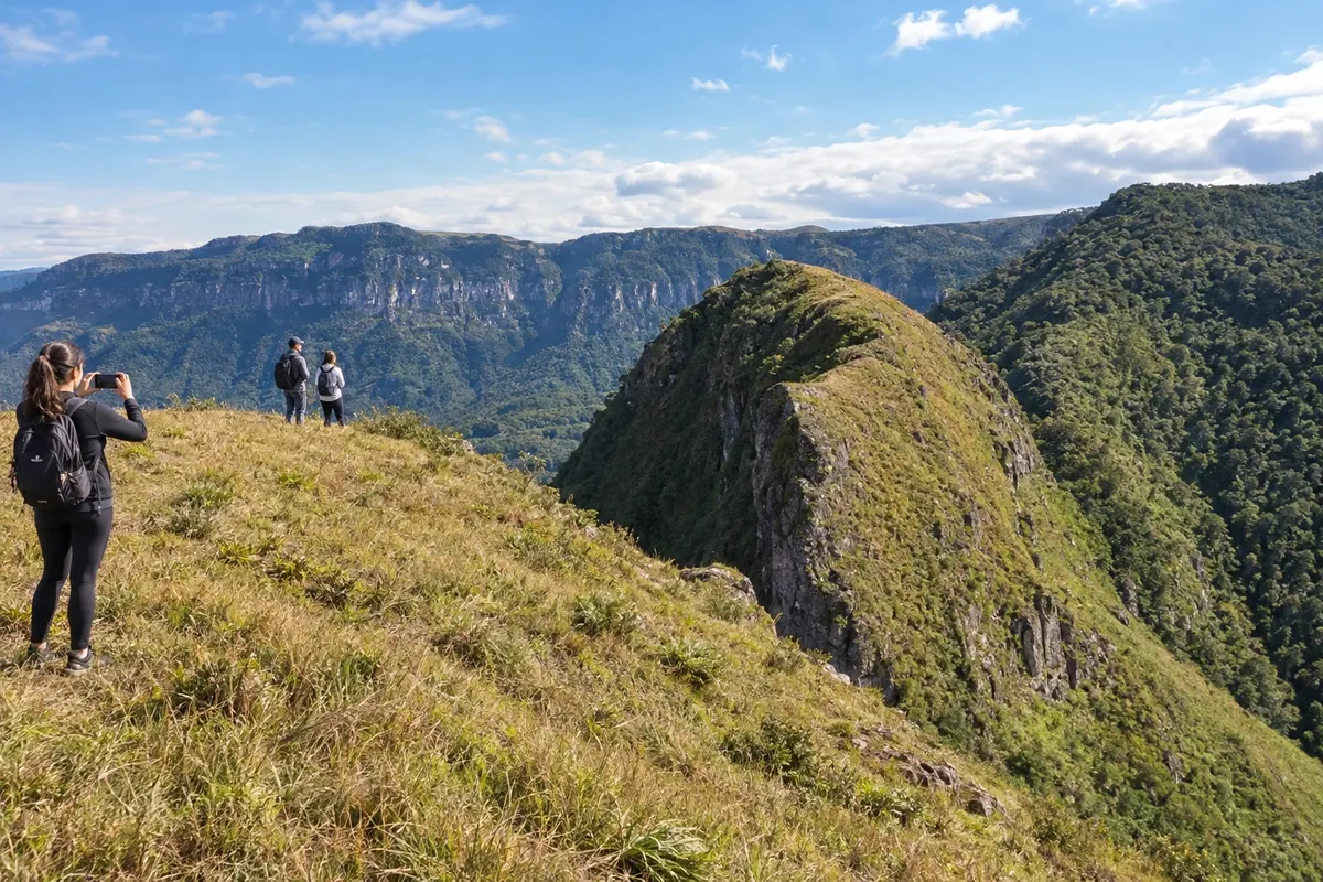
Jacinto Machado has the Morro do Carasal in Engenho Velho and the Museu Histórico Professora Elisabete Luiz, dedicated to labor culture. The Trilha do Tigre Preto runs through the interior of the Fortaleza. Banana production and rural access routes provide context for walks on the slopes.
→ Timbé do Sul Make the road connection between Jacinto Machado and Timbé do Sul via the foothill accesses. The drive along SC-108 and the approach to BR-285 should respect the chosen access; canyon paths are hikes, not car shortcuts.
-
 6 · SC
Timbé do Sul
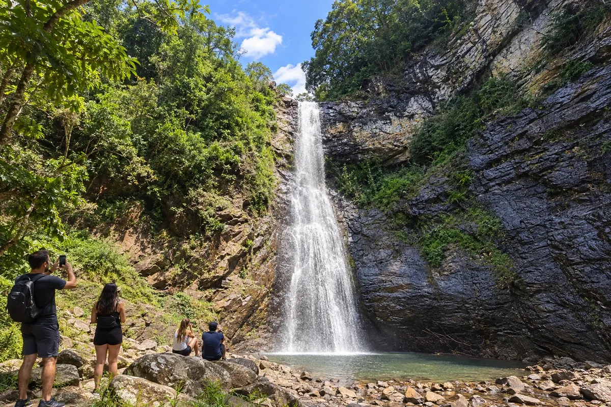
Timbé do Sul features the Cascata do Padre on the Rio Fortuna and the Toca do Tatu, with megafauna galleries and traces of human occupation. The Cachoeira da Cortina is located in the Serra Velha and has records of closure; access should only be included after confirmation of reopening by the municipality.
→ Morro Grande Follow the road network of the plain and enter SC-447 via the Meleiro access to Morro Grande. Avoid treating the map line as a direct road through the mountain; the route to Três Barras is a separate local transfer.
-
 7 · SC
Morro Grande
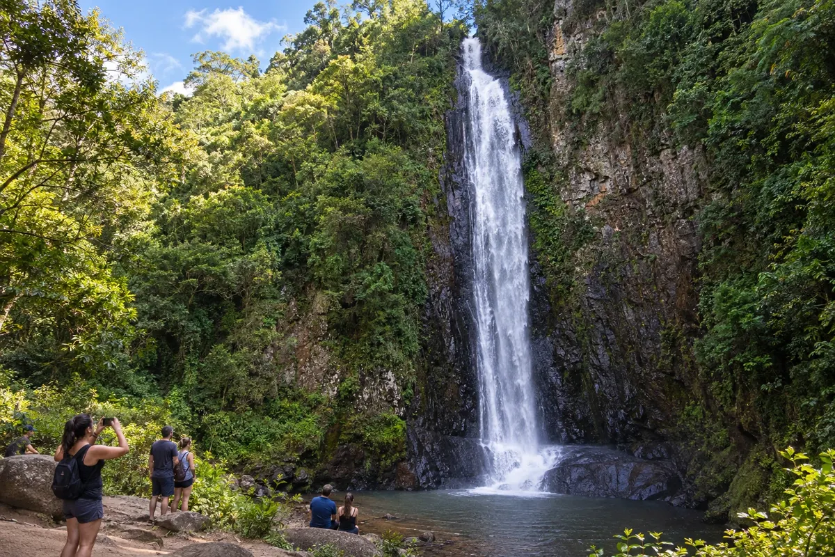
Morro Grande features the Cachoeira do Bizungo and the paleotocas of the Três Barras region. The contact between sandstone and basalt appears near the waterfall; the tunnels record megafauna excavation. The Trilha do Realengo adds a mountain walk along an old drovers' trail.
How many days
Plan seven to ten days to visit the seven municipalities and choose walks, leaving room for weather and access. This timeframe is a travel suggestion, not an official duration of the Geopark.
Best time to go
Days with good visibility favor the canyon rims. Rain in the river basin alters riverbed outings and rural access; on the plateau, be prepared for cold and fog. Activity conditions should be confirmed with the organizer.
How to travel it
Use a car or hired transport between municipalities and arrange hikes separately. The plateau branch is an out-and-back via the Serra do Faxinal; there is no direct road continuation along the Fortaleza rim to the next foothill. For paleotocas, rivers and private properties, confirm accompaniment and authorization.
Who it's for
For those who want to experience geological heritage, rural landscape and the coast on a car trip. The trails have different preparation requirements, while museums and urban visits allow planning days without long hikes.
Your questions
Frequently asked questions about the Caminhos dos Cânions do Sul
Is there a single road for the Caminhos dos Cânions do Sul?
The Geopark is a territory encompassing seven municipalities and various access routes. The order in this itinerary is a road-trip suggestion, with local outings chosen separately.
Does the map numbering correspond to seven days?
The numbers identify the municipalities in the order of first visit. A city may require more time, and the plateau branch includes a return to the foothills.
How does the Cambará do Sul branch work?
The route climbs via the Serra do Faxinal and returns by the same connection to continue the Santa Catarina itinerary. Do not consider the borda do Fortaleza a through road between the plateau and the next stage.
Are the tours inside the canyons by car?
Visits along the riverbeds are hikes with specific conditions and accompaniment. The vehicle is used to access the meeting points defined for each activity.
Is authorization required to visit the paleotocas?
The galleries and several rural paths are on private land. Confirm the required authorization and the indicated accompaniment before arranging the visit.
How should you plan travel between cities?
Prepare navigation between the towns and check the trailheads separately. The itinerary alternates coast, foothills and plateau; arrange authorization and accompaniment for outings on private properties.