Cachoeira do Bizungo
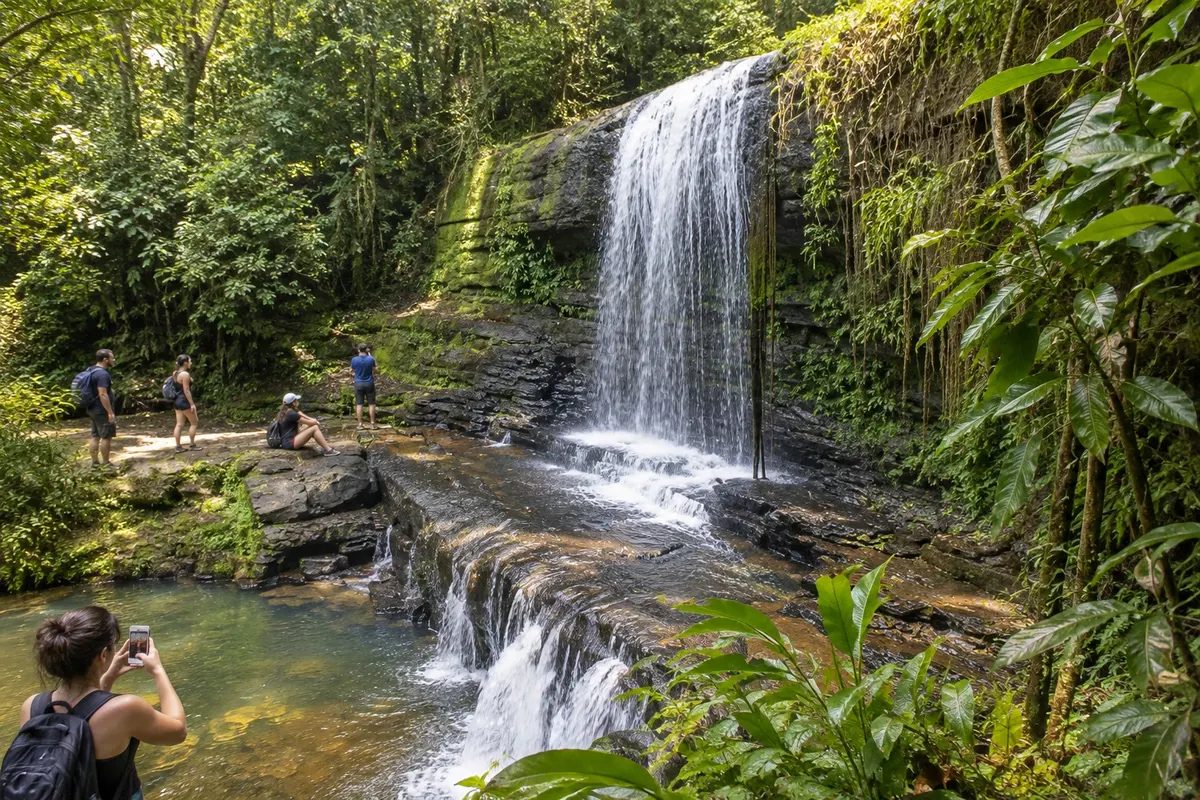
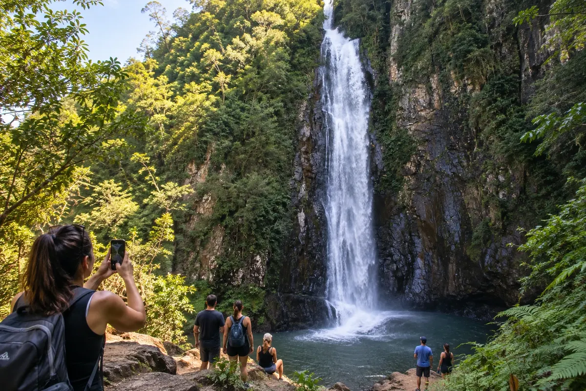
In the locality of Três Barras, the Cachoeira do Bizungo features a drop before a rock face. The site allows observation of the contact between the sandstone of the Formação Botucatu and the basalts of the Serra Geral.
Santa Catarina · Brazil
In the destination Caminho dos Cânions.
In the photo: Landscape of Morro Grande.
Illustrative images. The pictures in this guide are illustrations based on the real place, not photographs, and may differ from it.
The city
Morro Grande brings together paleotocas carved into the sandstone and waterfalls of the Serra Geral. In the community of Três Barras, the Cachoeira do Bizungo exposes the contact between sandstone and basalt; the paleotocas reveal tunnels made by megafauna. The Trilha do Realengo follows routes used by drovers to the upper part of the range, with a hike that requires preparation.
There's no accommodation in the guide yet in Morro Grande.
There are no restaurants in the guide yet in Morro Grande.
Know a good one? Recommend it to ushow to get there · how many days · itinerary · questions
The local experience
In the locality of Três Barras, the Cachoeira do Bizungo features a drop before a rock face. The site allows observation of the contact between the sandstone of the Formação Botucatu and the basalts of the Serra Geral.
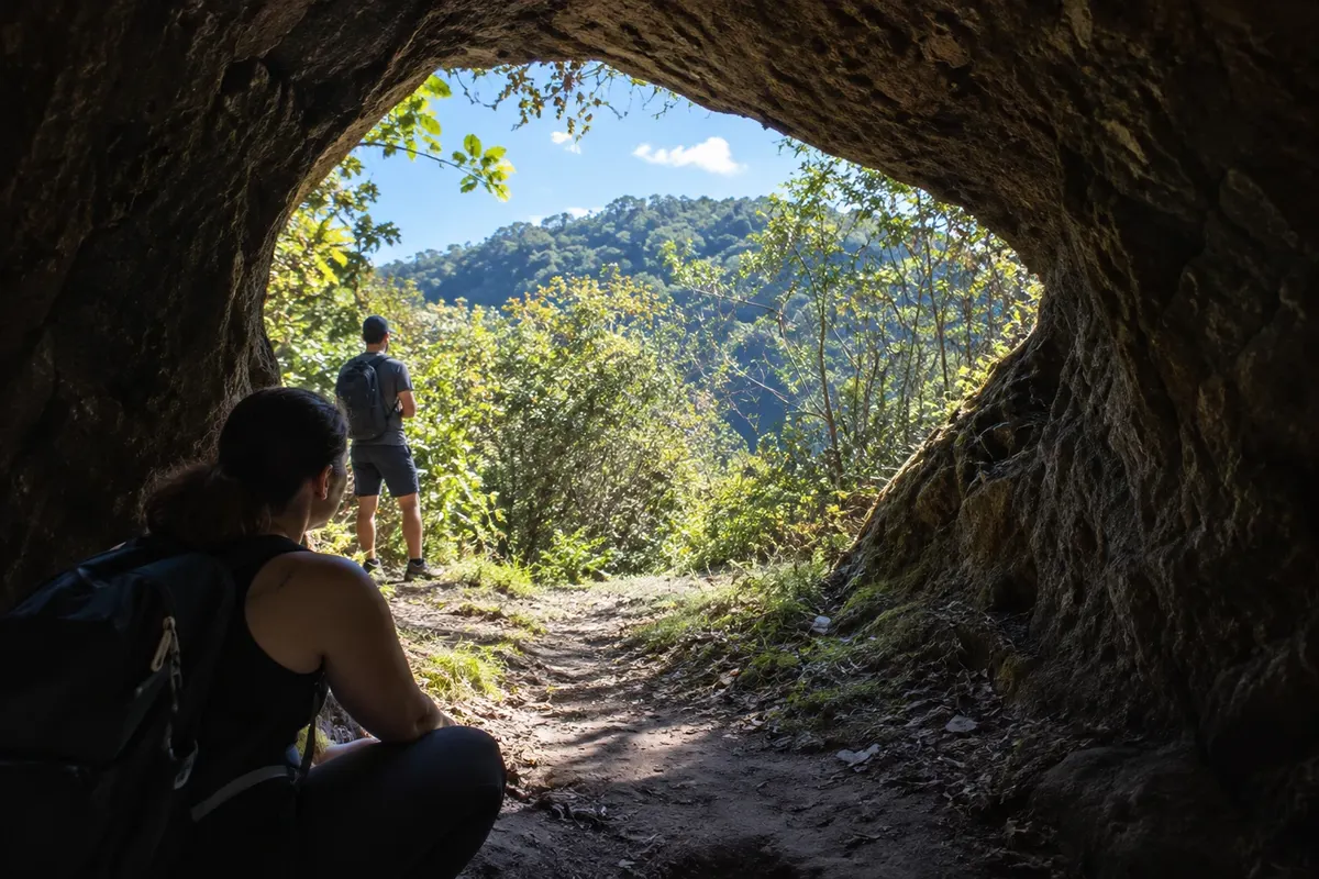
In the Três Barras region, paleotocas preserve tunnels excavated by megafauna in the sandstone of the Formação Botucatu. The visit takes place on private land, with guides accredited in municipal tourism.
Discover Paleotocas de Três Barras
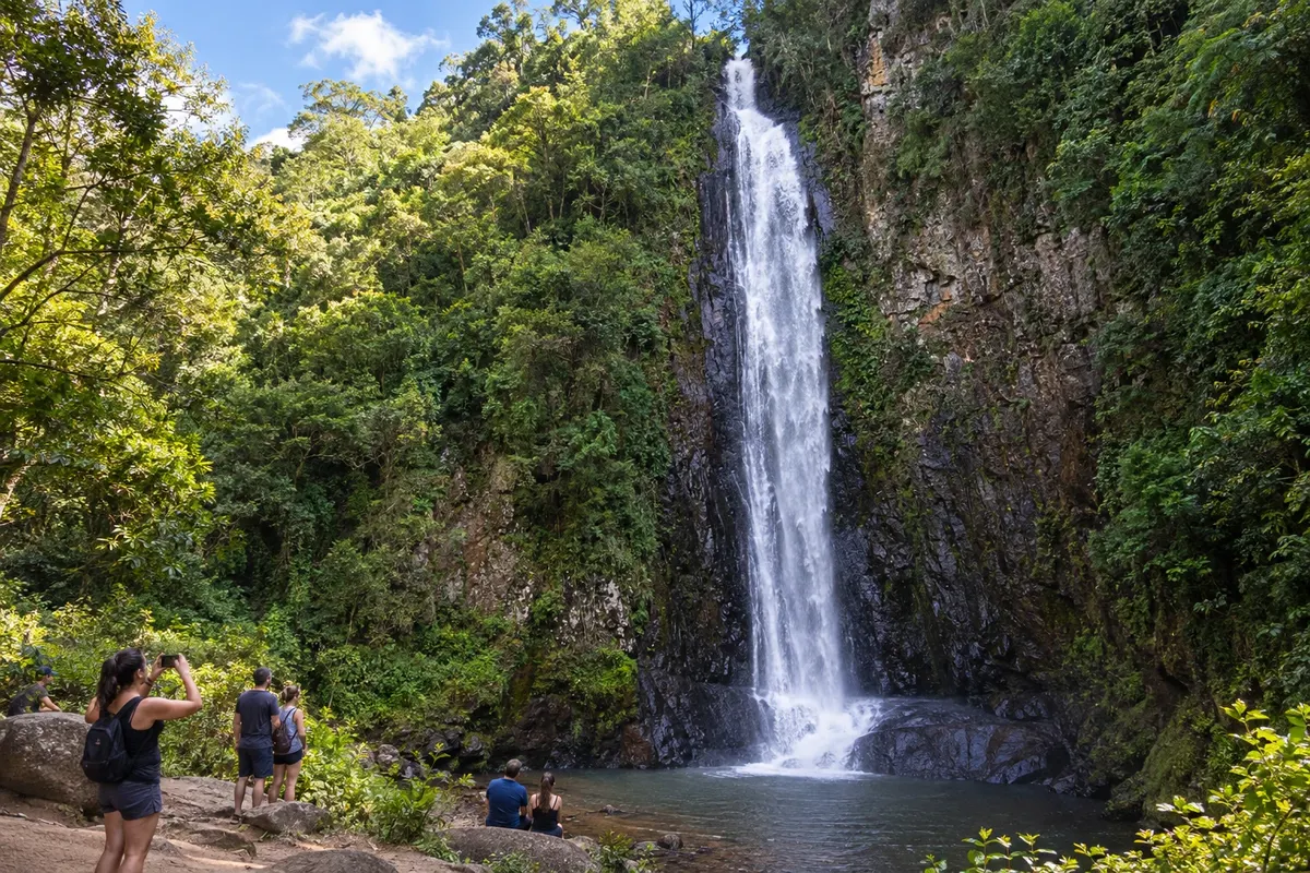
The Cachoeira Toca do Tatu brings together a set of falls near the community of Três Barras. The site is a geosite on private property and visitation is conditional upon entry authorization.
Discover Cachoeira Toca do Tatu
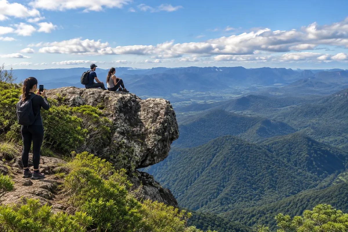
Realengo is reached by a trail that starts in the Três Barras region and follows an old drovers' road. In the upper part is the Pedra Cabeça do Urso, a formation known for the shape of its profile.
Brazilian routes
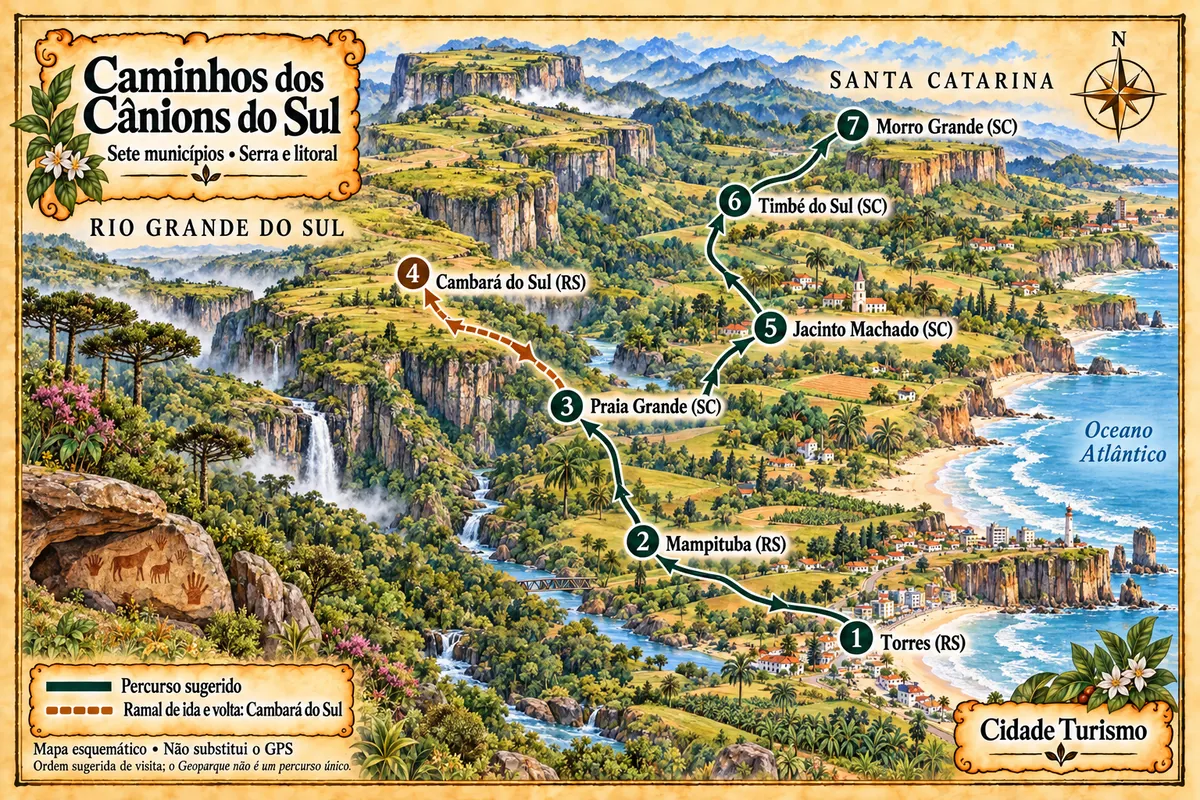
Seven municipalities between the coast and the Serra Geral, with canyons, waterfalls, paleotocas and rural paths in the territory of the Geopark.