
Trails · Morro Grande, SC
Morro do Realengo
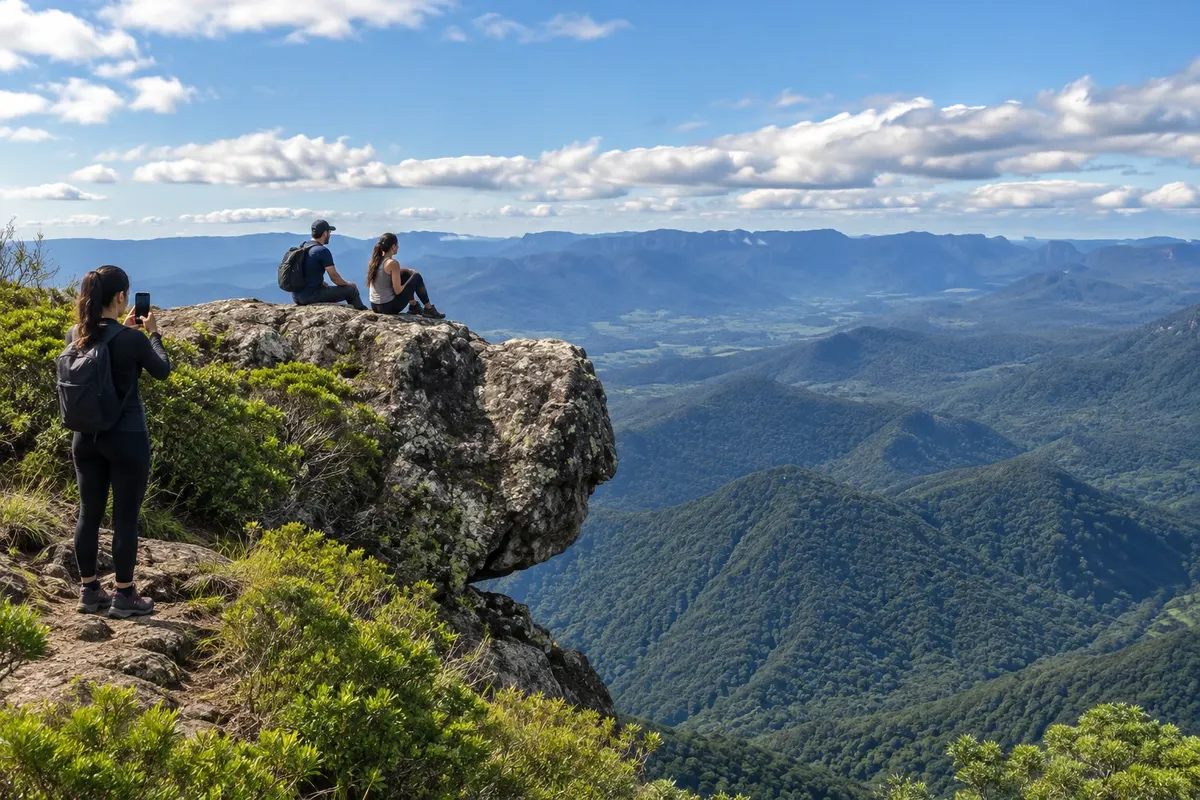
Realengo is reached by a trail that starts in the Três Barras region and follows an old drovers' road. In the upper part is the Pedra Cabeça do Urso, a formation known for the shape of its profile.
Illustrative images. The pictures in this guide are illustrations based on the real place, not photographs, and may differ from it.

Discover
About Morro do Realengo
Morro do Realengo brings together an ascent through the Serra Geral and the memory of a route used by drovers. The trail starts in the Três Barras region and reaches the upper part, where the Pedra Cabeça do Urso is located. The name of this formation refers to the shape recognized in its rocky profile.
The activity requires specific planning, with preparation for the hike and return logistics. Talk with a local guide about the route, equipment and expected conditions for the day. The landscape changes between the ascent and the top, and visibility affects what can be observed. Keep the group on the indicated path and do not make shortcuts on the slope. Before starting, clarify which points of Realengo are included, since the area's name does not correspond to a single walk of fixed duration.
Before you go
Practical information
How much time to set aside
Allow a full day for the Realengo trail; the total time must be defined for the outbound route and the return you arrange.
Best time
Plan the hike to match the ascent and the expected visibility at the upper part.
How to get there
Meet the guide in the Três Barras region and follow the old drovers' trail indicated for Realengo.
Tip
Confirm whether the Pedra Cabeça do Urso is included in the outing and avoid scheduling another tight transfer immediately after the descent.
Get your questions answered
Frequently asked questions about Morro do Realengo
How do you get to Realengo?
Access is made on foot from the Três Barras region, with local guidance.
What is the Pedra Cabeça do Urso?
It is a formation in the upper part of Realengo whose profile resembles a bear's head.
Is the trail related to rural history?
The route promoted for the ascent was used by former mountain drovers.