
Route · MG
Circuito das Águas de Minas
Mineral water spa towns, museums, pilgrimages and coffee in 16 municipalities of Sul de Minas, with a suggested driving sequence.
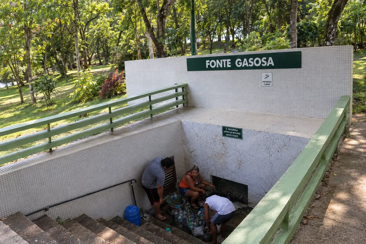
In the photo: Fonte Gasosa do Parque das Águas de Cambuquira, in Cambuquira.
Illustrative images. The pictures in this guide are illustrations based on the real place, not photographs, and may differ from it.

The route
What the Circuito das Águas de Minas is
In Sul de Minas, the Circuito das Águas brings together hydro-mineral spa towns, religious heritage, museums, coffee farming and Mantiqueira landscapes. The parks of Cambuquira, Lambari, São Lourenço and Caxambu help trace the history of the mineral waters; other stops add memories of Pelé, Vital Brazil, pilgrimages and the railways. The trip covers 16 municipalities with different cultural experiences and landscapes.
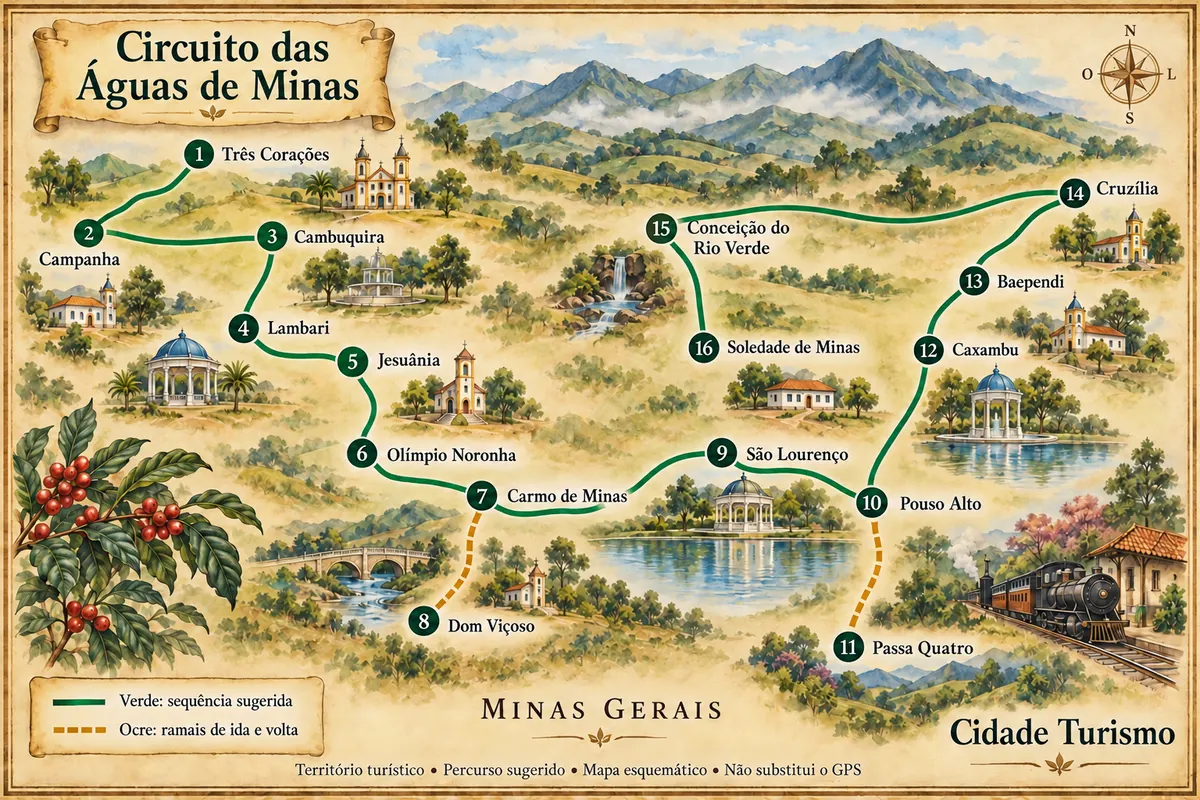
This car trip proposes a sequence of visits through the different sectors of the region, with outbound-and-return branches to Dom Viçoso and Passa Quatro. It is a suggested way to organize the tour, with no single official route or requirement to return to the starting point. Road conditions and rural access to attractions vary; the map numbering indicates the suggested order for the first visit to each municipality.
The map
16 cities along the way
Mapa: @svg-maps/brazil, CC BY 4.0
The journey
City by city
Distances and times are approximate: check before you set off.
-
 1 · MG
Três Corações
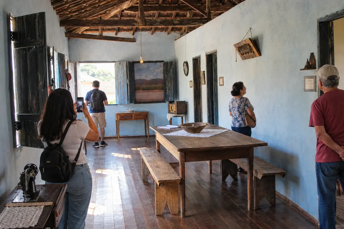
Pelé's childhood and the history of football are present in Três Corações at the reconstructed residence of Casa Pelé and at the Museu Terra do Rei, housed in the Casa da Cultura Godofredo Rangel. Parque Dondinho allows adding an outdoor stroll to the commemorative visit.
→ Campanha From Três Corações, use the accesses to the BR-381 axis and to BR-267 to reach Campanha. The stretch of BR-267 to the historic core is listed as paved in the road registry.
-
 2 · MG
Campanha
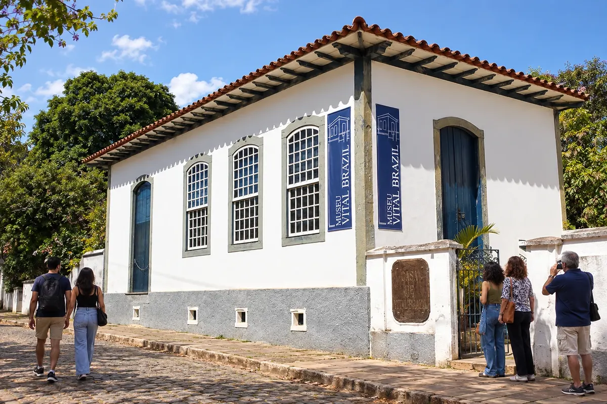
On the stop in Campanha, set aside separate times for the scientist's documents at the Museu Casa de Vital Brazil and for the historical and sacred collection at the Museu Regional do Sul de Minas. The Catedral de Santo Antônio and the view from Morro do Cruzeiro complete different readings of the city.
→ Cambuquira Campanha and Cambuquira are connected by the paved BR-267 corridor, with approach to the town via the connection with MG-167. The Marimbeiro springs require an additional trip within the municipality.
-
 3 · MG
Cambuquira
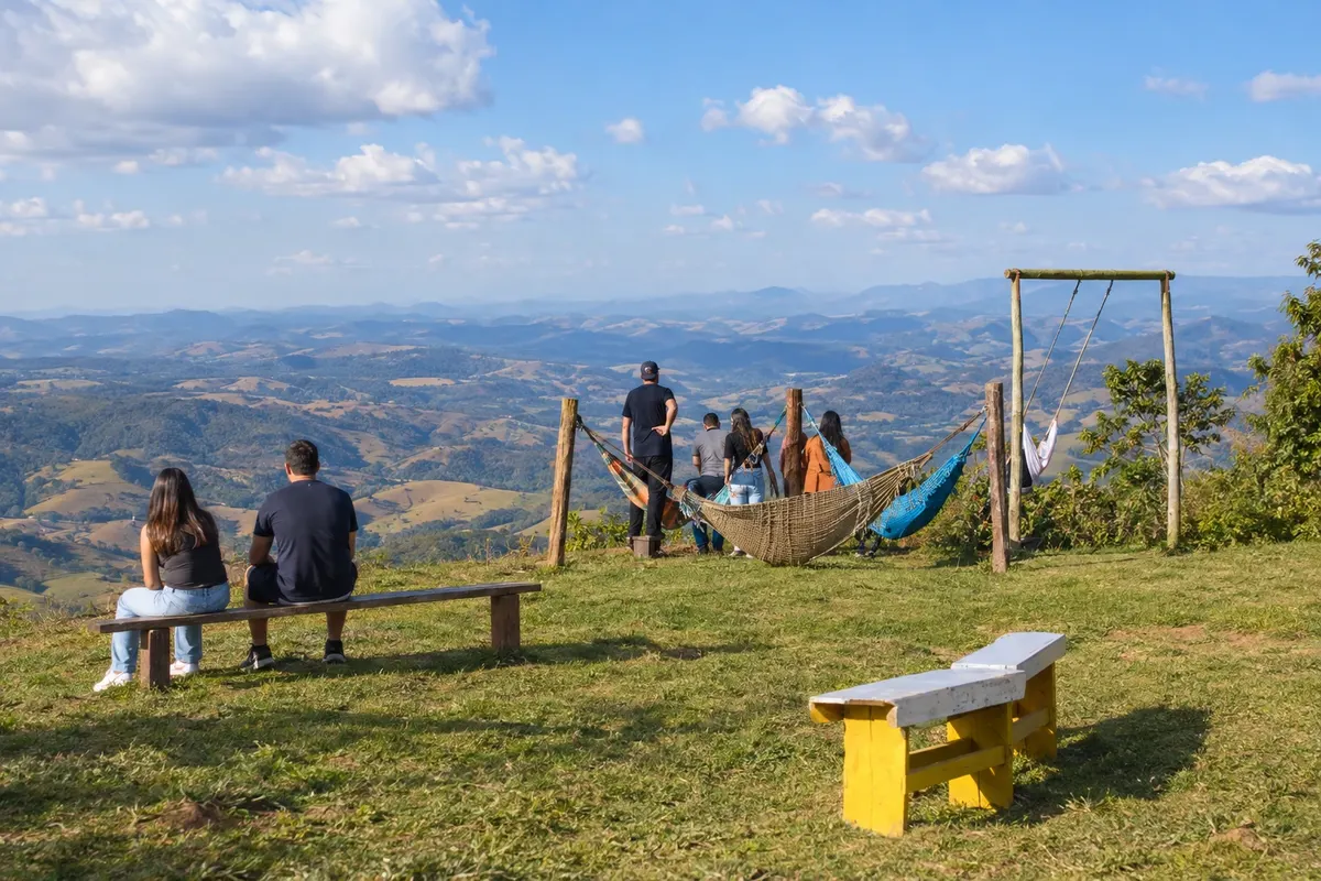
Cambuquira divides the hydro-mineral visit between the springs of Parque das Águas and the spring located in the Marimbeiro neighborhood. The unpaved climb to Piripau offers a viewpoint; for a cultural experience, look for activities announced at the former cinema Sinhá Prado.
→ Lambari The trip from Cambuquira to Lambari uses BR-267 up to the junction with BR-460. The paved continuation along BR-460 brings the urban core of the spa town closer.
-
 4 · MG
Lambari
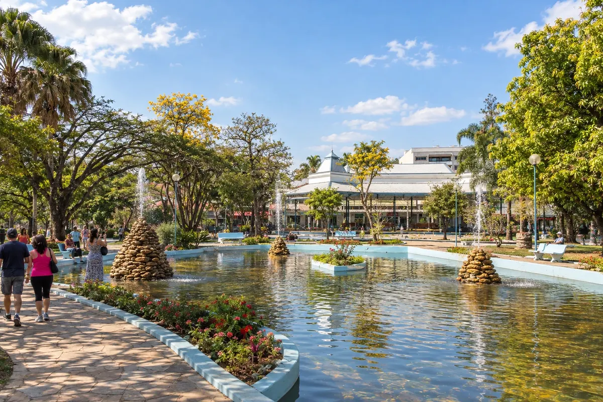
The 1911 building of Cassino do Lago and the springs of Parque das Águas show references to the Lambari spa. Nova Baden's forest deserves a dedicated outing for its trails, while the Matriz Nossa Senhora da Saúde preserves the presence of the religious community.
→ Jesuânia Leaving Lambari, follow the paved BR-460 corridor and the local access to Jesuânia. The rural landscape accompanies the approach to the town, identified by the church Senhor Bom Jesus.
-
 5 · MG
Jesuânia
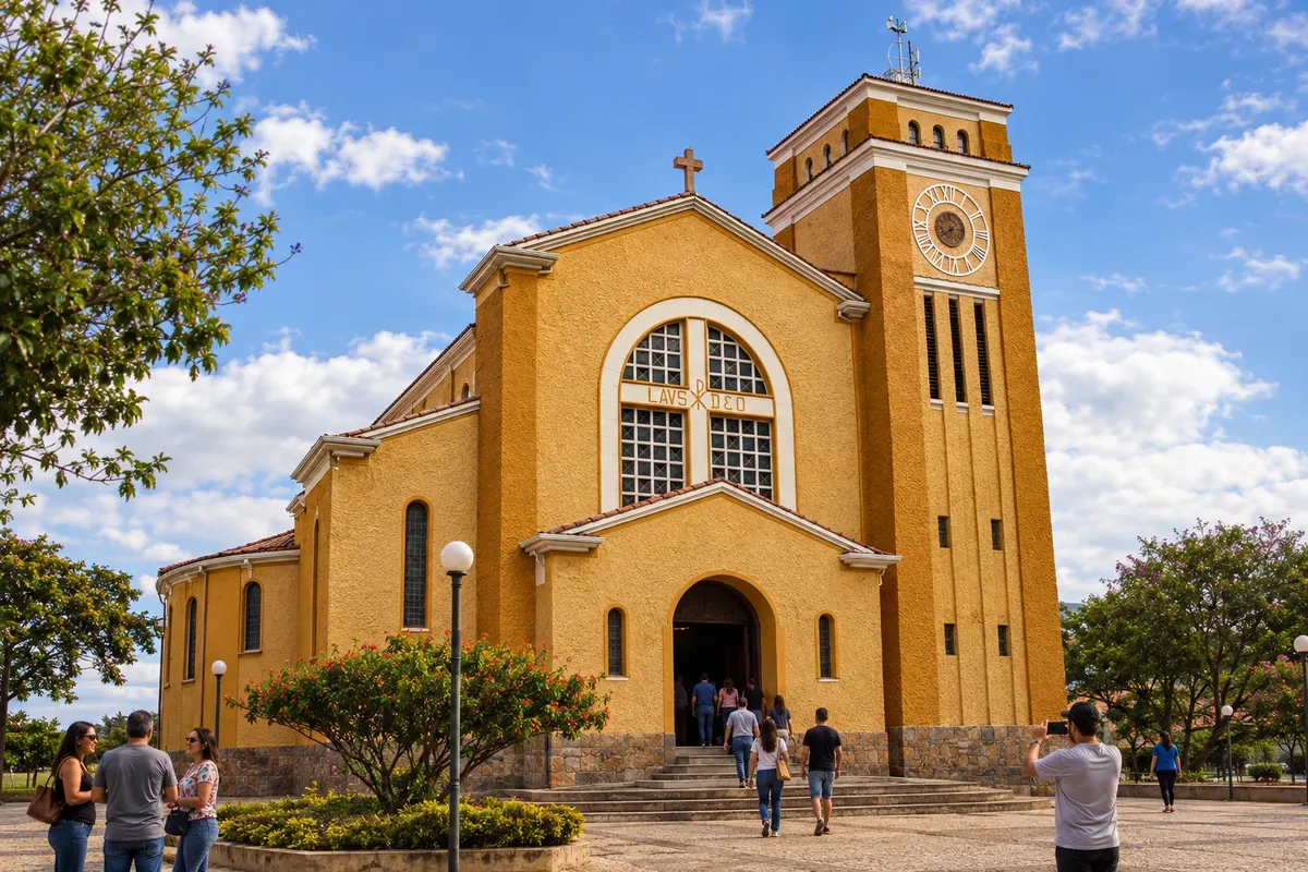
The church dedicated to Senhor Bom Jesus marks a tradition in Jesuânia. At Praça do Rosário, the congadas festival linked to São Pedro e São Paulo presents another expression of local devotion, according to the edition's calendar. The surrounding rural area adds to the landscape of the stop.
→ Olímpio Noronha From Jesuânia, return to BR-460 and use AMG-1055 to enter Olímpio Noronha. This access is listed as paved; the map line does not represent a direct link between the two main squares.
-
 6 · MG
Olímpio Noronha
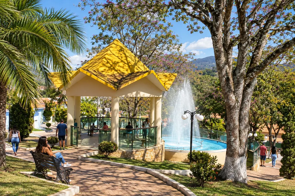
In Olímpio Noronha, use Praça Coronel Joaquim Gomes as a reference point to observe downtown life. The elevations of Serra do Bugio help recognize the surrounding scenery, without implying entrance onto any rural land.
→ Carmo de Minas The exit from Olímpio Noronha returns via AMG-1055 to the BR-460 axis. Continue along the paved corridor toward Carmo de Minas, through the rural sectors of the region.
-
 7 · MG
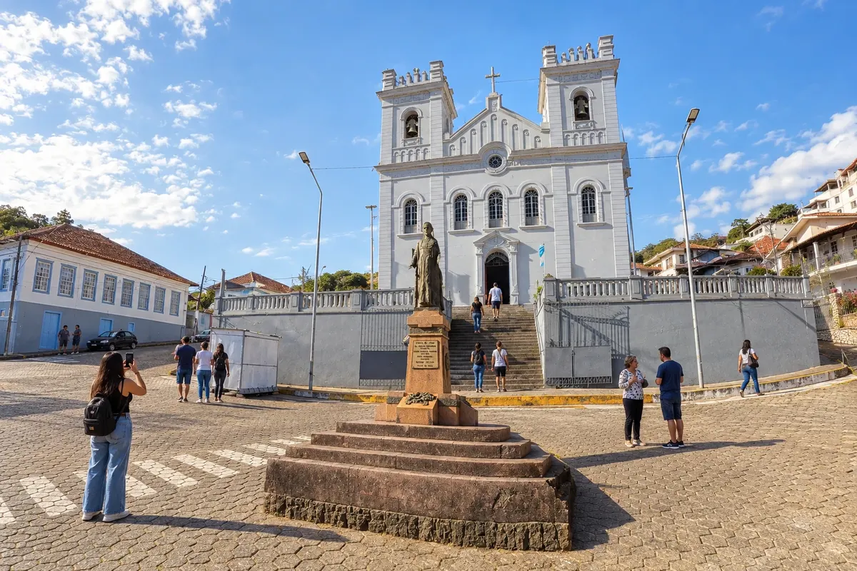
Carmo de Minas
High-altitude coffee production gives identity to the visit to Carmo de Minas, with experiences associated with Fazenda Sertão that require prior arrangement. The town's heritage includes the Matriz Nossa Senhora do Carmo and the local landmark of the coreto de Chico Cascateiro.
→ Dom Viçoso For the Dom Viçoso branch, leave BR-460 and take LMG-883, a paved link up to the urban perimeter. The road access is separate from a visit to Pedra Riscada.
-
 8 · MG
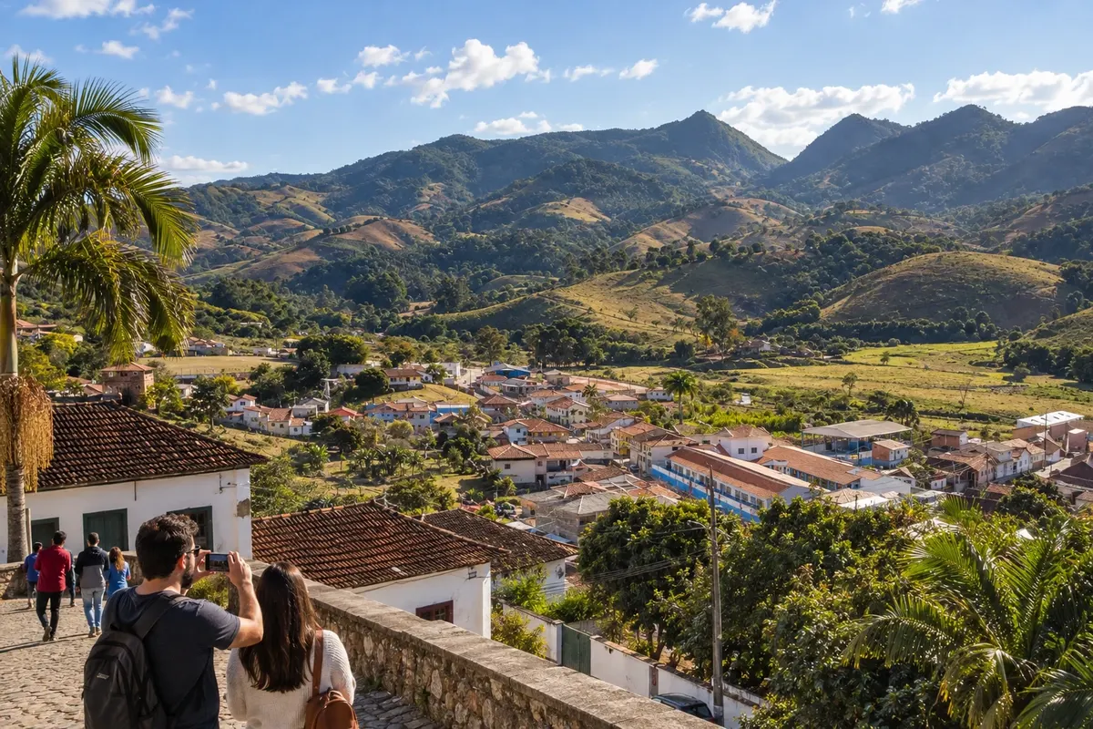
Dom Viçoso
The Dom Viçoso branch brings the Pedra Riscada landscape and the religious life of Paróquia Nossa Senhora do Rosário closer. To visit the outcrop, contact the person responsible for access; after the stop, the trip returns to the main corridor.
→ Carmo de Minas Return from Dom Viçoso via LMG-883 to the BR-460 junction in the Carmo de Minas sector. The paved branch ends at that corridor, where the trip continues without another mandatory stop in the town.
-
 9 · MG
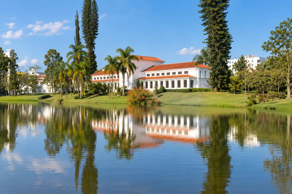
São Lourenço
The springs and gardens make up the visit to Parque das Águas de São Lourenço. At the station, the Trem das Águas outing lets you discover another side of the spa town, linked to the steam locomotive and railway heritage.
→ Pouso Alto Use the paved continuation of BR-460 between the São Lourenço sector and the junction with BR-354 to approach Pouso Alto. The district of Santana do Capivari has its own heritage visit.
-
 10 · MG
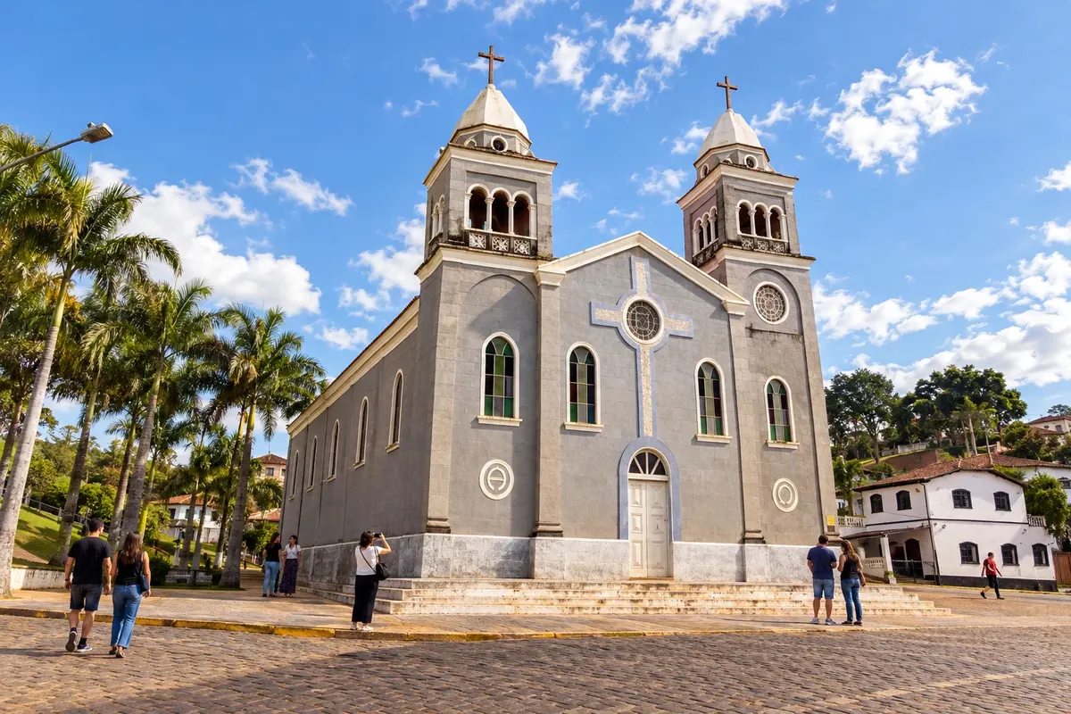
Pouso Alto
The old courthouse, now the city hall mansion, marks Pouso Alto's administrative history. The Igreja de Santana in the district of Santana do Capivari expands the reading of the municipal heritage, requiring separate travel and opening arrangements.
→ Passa Quatro The branch from Pouso Alto to Passa Quatro leaves BR-354 for MG-158 at Santana do Capivari. MG-158 is paved and passes through Itanhandu, which is a thoroughfare and not a stop on this route.
-
 11 · MG
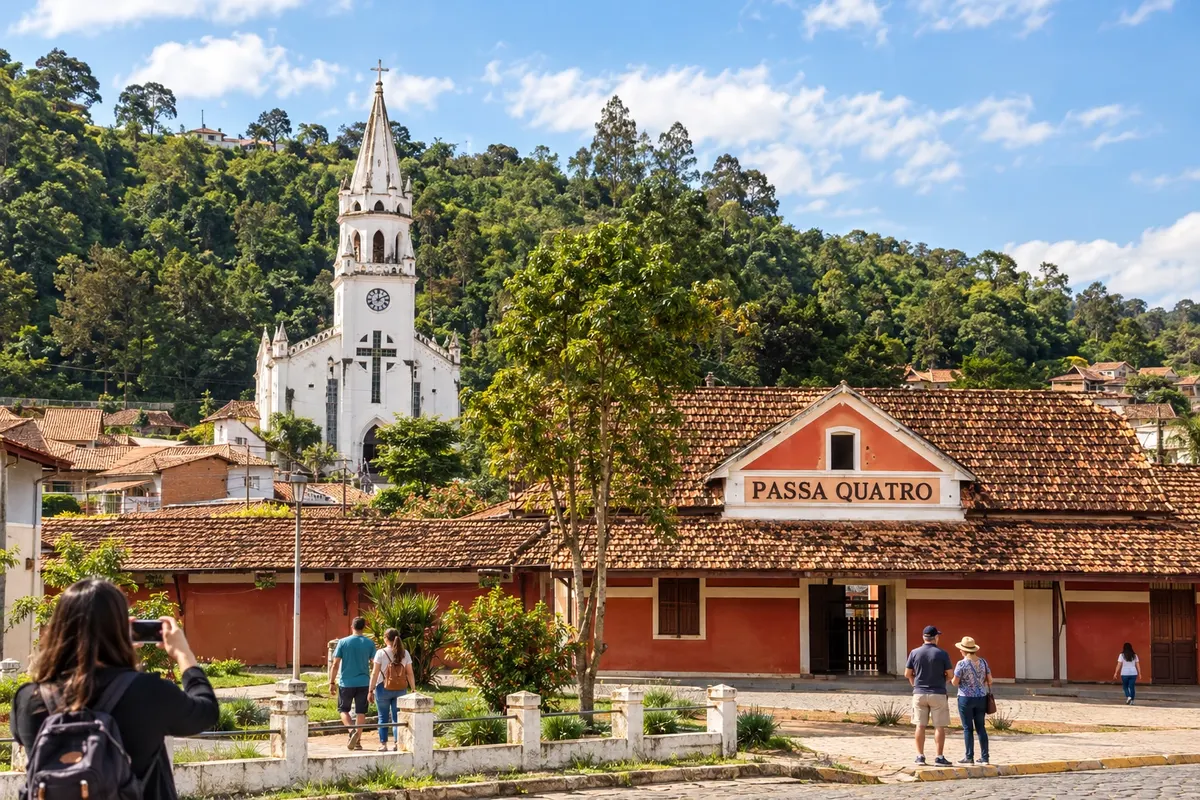
Passa Quatro
The Passa Quatro branch allows organizing a visit to its Floresta Nacional and learning about the railway references at the Túnel da Mantiqueira. The forest landscape and the memory of the tracks call for separate activities, according to the managers' guidance.
→ Pouso Alto Upon finishing Passa Quatro, return via MG-158, passing through Itanhandu, to the junction with BR-354 in the Pouso Alto sector. The return uses the same paved approach corridor.
-
 12 · MG
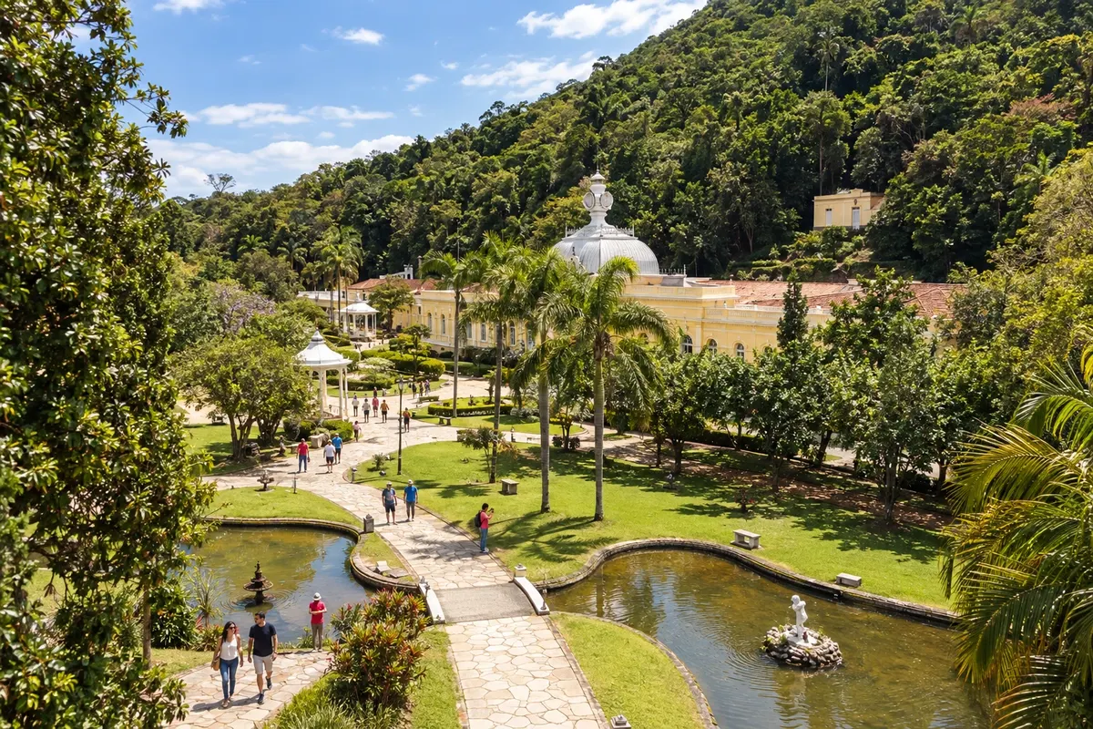
Caxambu
The pavilions of the springs in Parque das Águas present Caxambu's hydro-mineral heritage. The building of Igreja Santa Isabel da Hungria adds another experience of architecture and religiosity to the urban core.
→ Baependi Caxambu and Baependi have a local connection between nearby towns. Take that road access to Baependi's core, keeping the transfer separate from rural trips to waterfalls.
-
 13 · MG
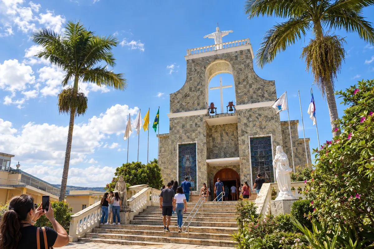
Baependi
Pilgrimages and religious memory are represented by the sanctuary dedicated to Nhá Chica in Baependi. The collection of objects and photographs at Casa da Cultura Filomena Lara Leite offers a different visit focused on municipal history.
→ Cruzília From Baependi, arrange the approach to Cruzília via the BR-267 axis and the paved MGC-354 link to the town. The museum dedicated to Mangalarga Marchador belongs to the next urban visit.
-
 14 · MG
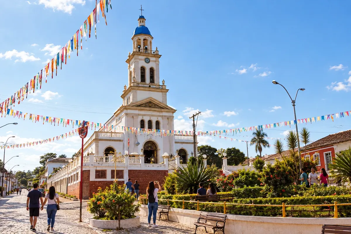
Cruzília
The Museu Nacional do Cavalo Mangalarga Marchador showcases a hallmark of horse breeding in Cruzília. The performances of the Encontro de Folia de Reis add to the culture of popular celebrations when the trip coincides with the announced program.
→ Conceição do Rio Verde The exit from Cruzília uses MGC-354 to BR-267. Proceed along the regional corridor to AMG-1025, the paved access to Conceição do Rio Verde, without treating the map line as a direct road.
-
 15 · MG
Conceição do Rio Verde
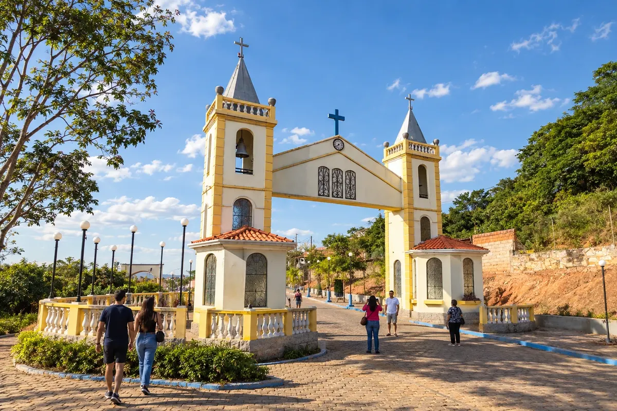
In Conceição do Rio Verde, the Contendas springs and the temple of Basílica Menor Nossa Senhora da Conceição form two main axes for visits. The Jurumirim and Lemes waterfalls are located in different rural areas and require checking the access routes before setting out.
→ Soledade de Minas From Conceição do Rio Verde, return to AMG-1025 and BR-267 to reach the paved BR-383 corridor toward Soledade de Minas. The station marks the town visit; the Cachoeira do Paiol has a separate rural access.
-
 16 · MG
Soledade de Minas
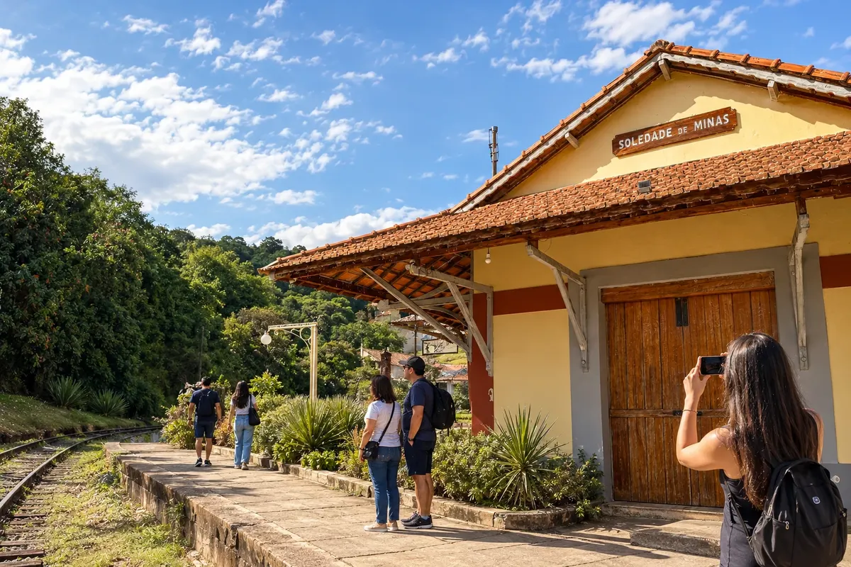
The collection of the Museu Ferroviário, in the old station, and the records of the Casa da Cultura present the memory of Soledade de Minas. To round off with a rural landscape, the Paiol offers a waterfall with its own access, subject to local conditions.
How many days
Allow seven to ten days to visit the 16 stops with visits. A shorter trip can select only one sector. The Dom Viçoso and Passa Quatro branches and rural departures require their own time allocations.
Best time to go
Choose the time of year according to the activities: viewpoints and rural trails depend on the forecast and the condition of access routes. Museums and cultural centers follow their own opening hours and programs; pilgrimages, congadas and folias require checking the calendar for each edition.
How to travel it
Follow the sequence by car or with organized transport. Dom Viçoso is a branch with return to the Carmo de Minas sector; Passa Quatro returns to the Pouso Alto sector before continuing to Caxambu. The lines on the map are schematic and do not indicate direct roads between all points. The order arranges visits across the tourist territory, without representing a single official route.
Who it's for
For those who want to learn about the history of the spa towns, the museums of Sul de Minas, religious heritage and coffee-growing landscapes. Walks in Nova Baden and trips to viewpoints or waterfalls can be chosen according to travelers' interests and mobility.
Your questions
Frequently asked questions about the Circuito das Águas de Minas
Is it mandatory to visit all 16 municipalities in one trip?
The sequence can be divided by sectors. Choose the visits you want to make and organize nearby bases, leaving room for museums and rural outings.
Is the circuit a single, official road?
The name identifies a tourist territory. This route proposes a driving order between the cities, using the regional road network.
Why are there two branches with returns?
Dom Viçoso and Passa Quatro require leaving the main corridor. The planned continuation returns to the accesses of Carmo de Minas and Pouso Alto, respectively.
Are the mineral waters the only experience of the trip?
Museums dedicated to Pelé and Vital Brazil, religious heritage, railways, culture and coffee growing expand the route beyond the hydro-mineral parks.
Can all rural outings be done without prior contact?
Coffee properties and natural areas have different access conditions. Arrange private visits and check the managers' guidance before going out.