
Route · RJ
Vale do Café
A route through 14 municipalities in the state of Rio de Janeiro, among historic farms, museums, the memory of the railways and the heritage of the cities of Médio Paraíba.
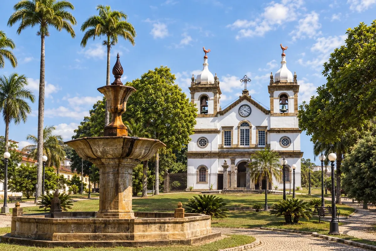
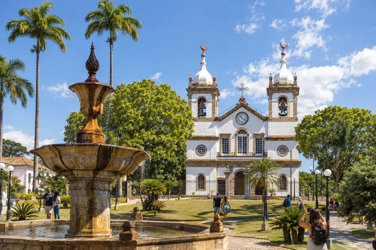
In the photo: Praça Barão de Campo Belo and Matriz de Vassouras, in the Vale do Café.
Illustrative images. The pictures in this guide are illustrations based on the real place, not photographs, and may differ from it.

The route
What the Vale do Café is
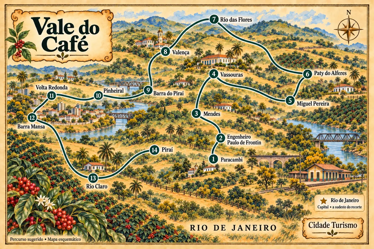
The Vale do Café brings together towns in the interior of the state of Rio de Janeiro that took part in the transformations of agriculture, the railway and industry. This trip goes through 14 municipalities, from Paracambi to Piraí, featuring historic centers, cultural houses, old rural estates and mountain landscapes. The route is open: the final stop does not require returning to the start.
The history of coffee appears in urban buildings and in organized visits to fazendas, but also in places that recall enslaved labor and resistance. Reading these experiences together avoids reducing the region to the owners' residences. Domestic museums, musical memory and workers' heritage broaden the content of the trip.
The order shown organizes a passage through the municipalities; it does not correspond to a single road nor does it require that all be visited on the same trip. Districts and estates may require detours, scheduling and specific access conditions. Choose stages compatible with the desired visits and confirm the road route before each departure.
The map
14 cities along the way
Mapa: @svg-maps/brazil, CC BY 4.0
The journey
City by city
Distances and times are approximate: check before you set off.
-
 1 · RJ
Paracambi
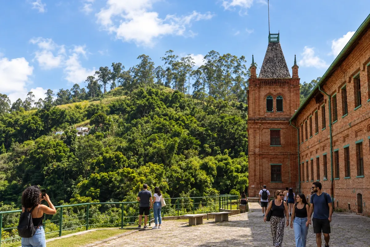
The former Companhia Têxtil Brasil Industrial, today Fábrica do Conhecimento, presents Paracambi's industrial memory. The Parque Natural Municipal do Curió preserves Atlantic Forest in the municipality. The first point of the route brings together workers' heritage and environmental landscape, with visits to the green areas subject to the park's guidelines.
→ Engenheiro Paulo de Frontin The RJ-127 climbs from Paracambi toward Engenheiro Paulo de Frontin on a mountain-route stretch. Curves and changes in level demand attention; check the road condition before departure.
-
 2 · RJ
Engenheiro Paulo de Frontin
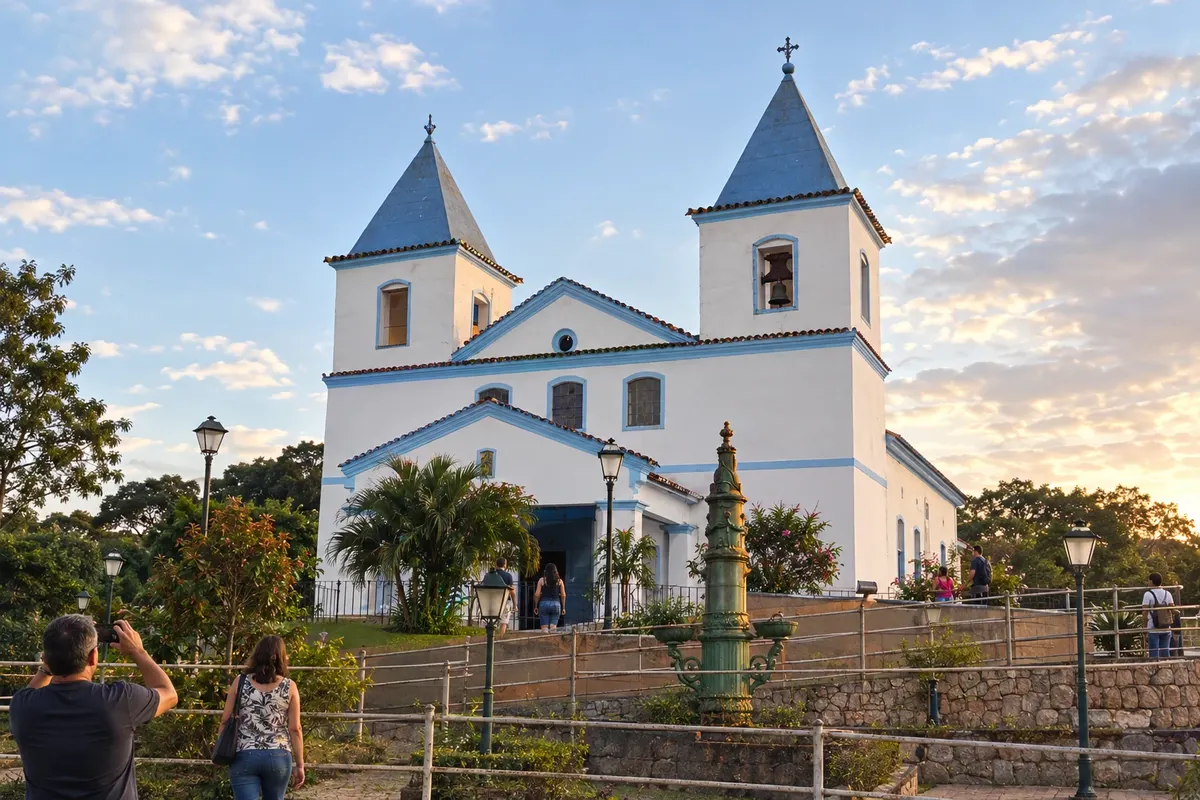
The railway station and the Igreja de Nossa Senhora da Soledade illustrate the history of the seat of Engenheiro Paulo de Frontin. Sacra Família do Tinguá preserves the Igreja de Nossa Senhora da Conceição, linked to the former district nucleus. Lago Azul adds a landscape stop, depending on access conditions.
→ Mendes The connection between the municipal seat of Engenheiro Paulo de Frontin and Mendes follows the RJ-127 corridor. The route crosses inland terrain and requires locating the access to Mendes town center.
-
 3 · RJ
Mendes
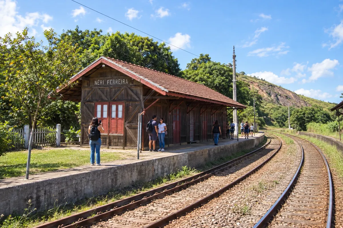
In Mendes, the Estação Ferroviária Néri Ferreira records the circulation of trains through the interior of Rio de Janeiro. The Horto Municipal, on Morro do Socorro, adds the connection with the Atlantic Forest. The urban stage can focus on the station; reaching the horto depends on authorized entry and the condition of the path.
→ Vassouras From Mendes, the RJ-127 leads to the Vassouras area. Arrival at the historic center combines the highway route with urban streets featuring paving and level changes.
-
 4 · RJ
Vassouras
Vassouras brings together the Praça Barão de Campo Belo with the Matriz de Nossa Senhora da Conceição and the domestic settings of the Museu Casa da Hera. The Memorial Manuel Congo, at Largo da Pedreira, recalls the struggle against slavery. Museums, townscape and black memory help to understand the coffee cycle in the city.
→ Miguel Pereira To leave Vassouras toward Miguel Pereira, arrange the connection via RJ-121 and RJ-125. The route returns to hilly terrain; check the junctions and the condition of the roads.
-
 5 · RJ
Miguel Pereira
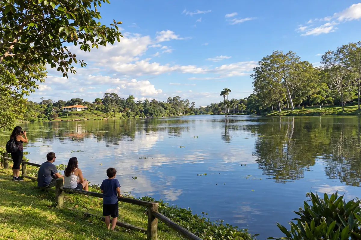
Lago de Javary presents the water-and-hills landscape of Miguel Pereira. In Vera Cruz, the Viaduto Paulo de Frontin preserves a work of the old railway. The Museu Francisco Alves and the Espaço do Artesão bring music and local crafts to the mountain stage, with different transfers between neighborhoods and the district.
→ Paty do Alferes Miguel Pereira and Paty do Alferes are linked by the RJ-125 corridor. The transfer connects the mountain centers; if the destination is the center of Paty do Alferes, check the urban access.
-
 6 · RJ
Paty do Alferes
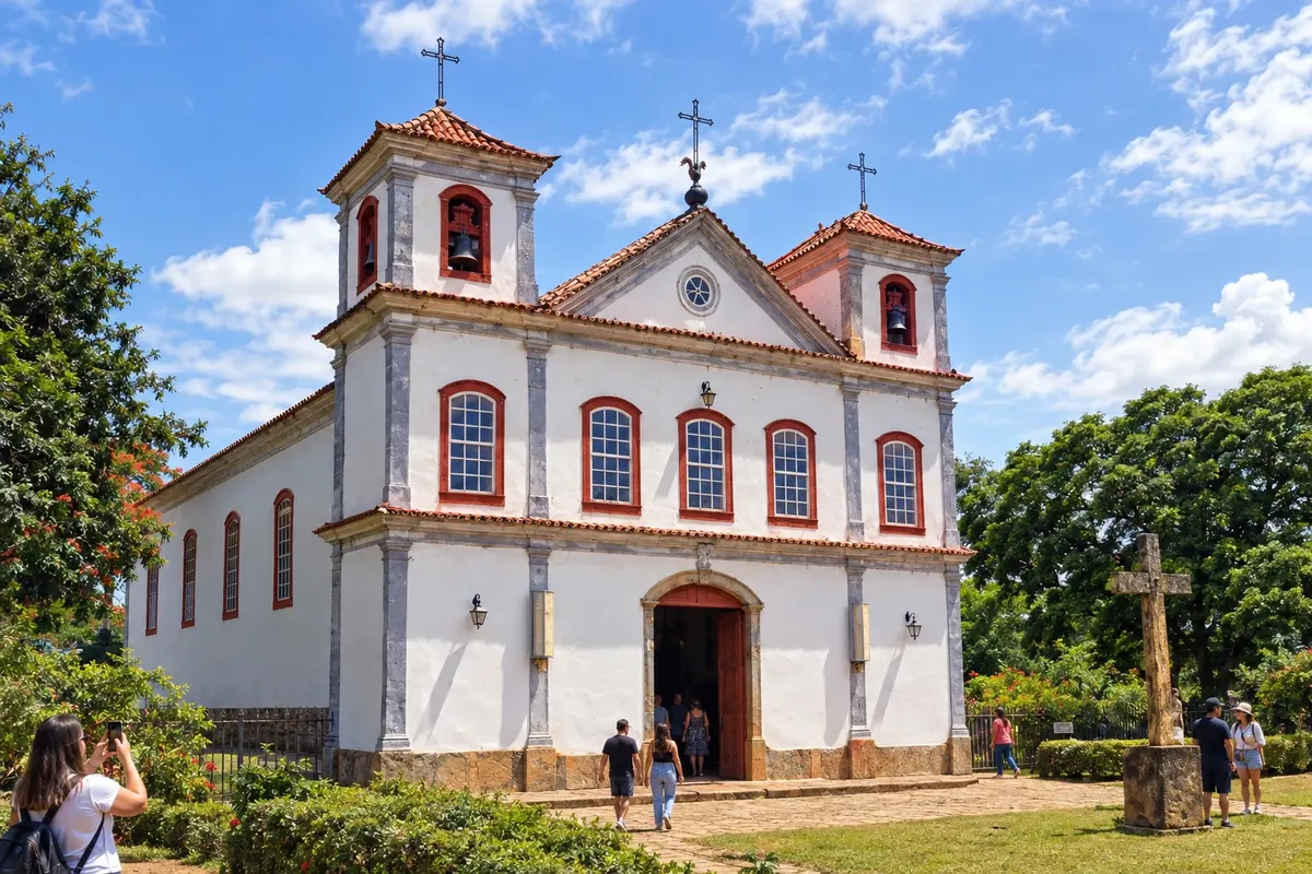
Paty do Alferes features the Matriz de Nossa Senhora da Conceição and the Monumento 200 Anos, whose arches present the village's history. The Museu da Cachaça is located in the Casario do Alferes, and the Praça da Estação keeps the railway reference in the center. The Festa do Tomate, in Avelar, highlights Paty's agricultural identity.
→ Rio das Flores The passage from Paty do Alferes to Rio das Flores requires reorganizing the route via the Vassouras regional corridor and the access to RJ-145. The map line indicates the order of stops; confirm the current road connection.
-
 7 · RJ
Rio das Flores
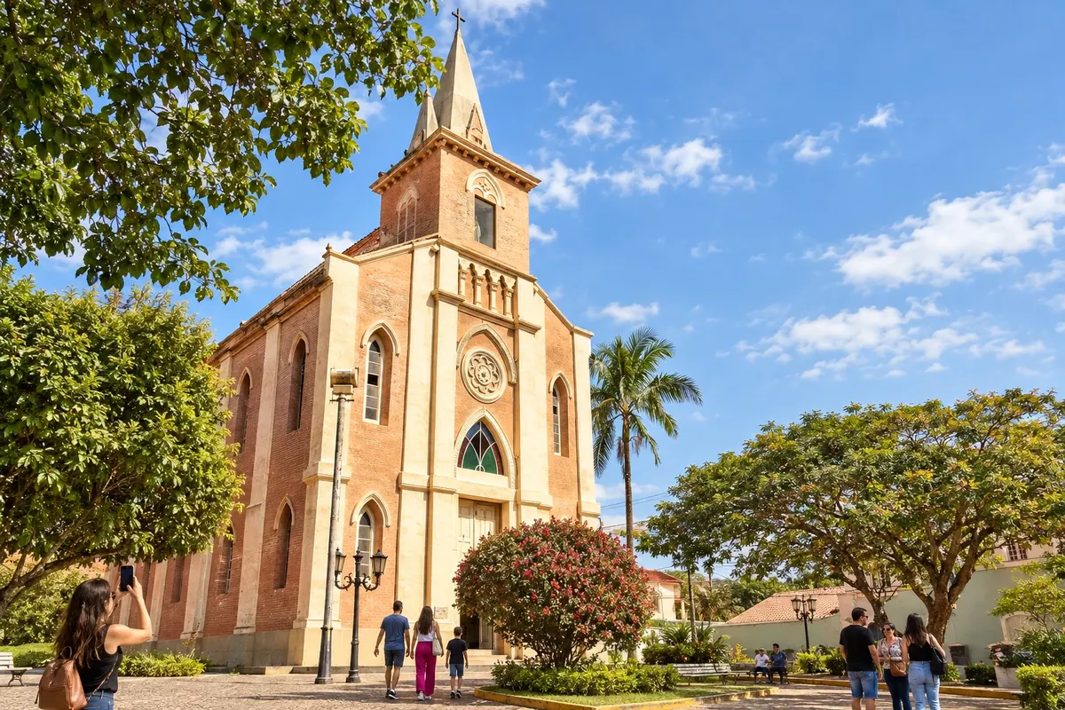
The Matriz de Santa Teresa D’Ávila and the Casa da Cultura are part of the reading of the seat of Rio das Flores. Taboas adds the Igreja de São José, with a tower separate from the temple. From the Cruzeiro, the view reaches the urban core among rounded hills; the ascent depends on access conditions and visibility.
→ Valença The RJ-145 connects Rio das Flores to the Valença area. The trip passes through hilly scenery and rural areas before arriving at Valença's municipal seat.
-
 8 · RJ
Valença
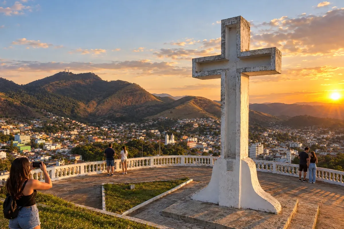
Valença features the Catedral de Nossa Senhora da Glória and the Casa Léa Pentagna at the seat. The Mirante do Cruzeiro shows the urban set across the relief. In Conservatória, a municipal district, the Túnel que Chora preserves railway memory and the serestas give expression to the musical tradition, according to local programming.
→ Barra do Piraí Between Valença and Barra do Piraí, use the RJ-145 connection. District accesses from Ipiabas may change the entry point; visiting Conservatória requires a separately planned detour.
-
 9 · RJ
Barra do Piraí
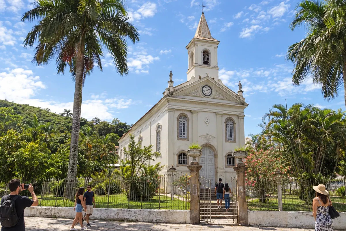
The Catedral de Sant’Ana represents the urban core of Barra do Piraí, marked by the railway. São João da Prosperidade and Fazenda da Taquara host organized visits to coffee heritage. In the district of Ipiabas, the waterfall offers a different municipal landscape, after checking the trail and the weather.
→ Pinheiral From Barra do Piraí to Pinheiral, the regional link via RJ-141 goes through the Vargem Alegre sector. Check the access to Pinheiral's municipal seat to reach Praça Teixeira Campos.
-
 10 · RJ
Pinheiral
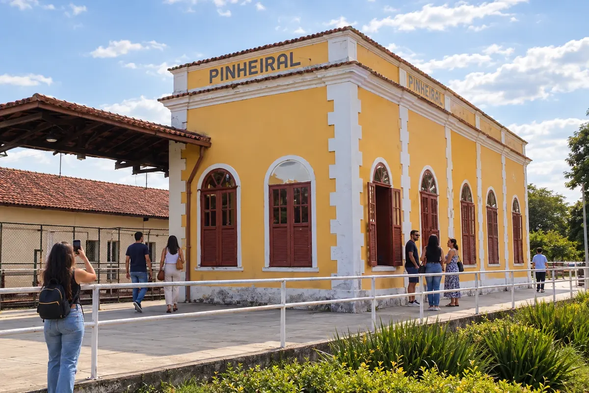
The Estação da Cultura, at Praça Teixeira Campos, maintains Pinheiral's railway reference. The memory of Fazenda São José do Pinheiro is associated with the area of the IFRJ campus. The station offers an urban reading of this stage; any entry into institutional heritage requires specific authorization.
→ Volta Redonda Pinheiral and Volta Redonda form a link of urban accesses in the Médio Paraíba corridor. Plan your arrival at Vila Santa Cecília, not to be confused with entrances to the industrial area.
-
 11 · RJ
Volta Redonda
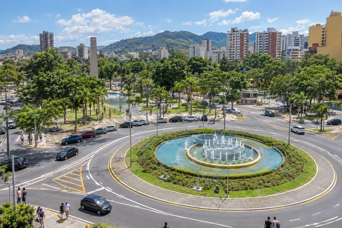
Volta Redonda presents the industrial town at Praça Brasil and the Memorial IX de Novembro, which commemorates the workers killed in the 1988 strike. The Igreja de Santa Cecília is part of life in the Vila neighborhood, and the chimney of the former mill preserves a reference to the territory prior to the steel industry.
→ Barra Mansa The stage from Volta Redonda to Barra Mansa follows the urban corridor of the Paraíba valley. Traffic and intersections are part of the connection; the cultural arrival is in the center of Barra Mansa.
-
 12 · RJ
Barra Mansa
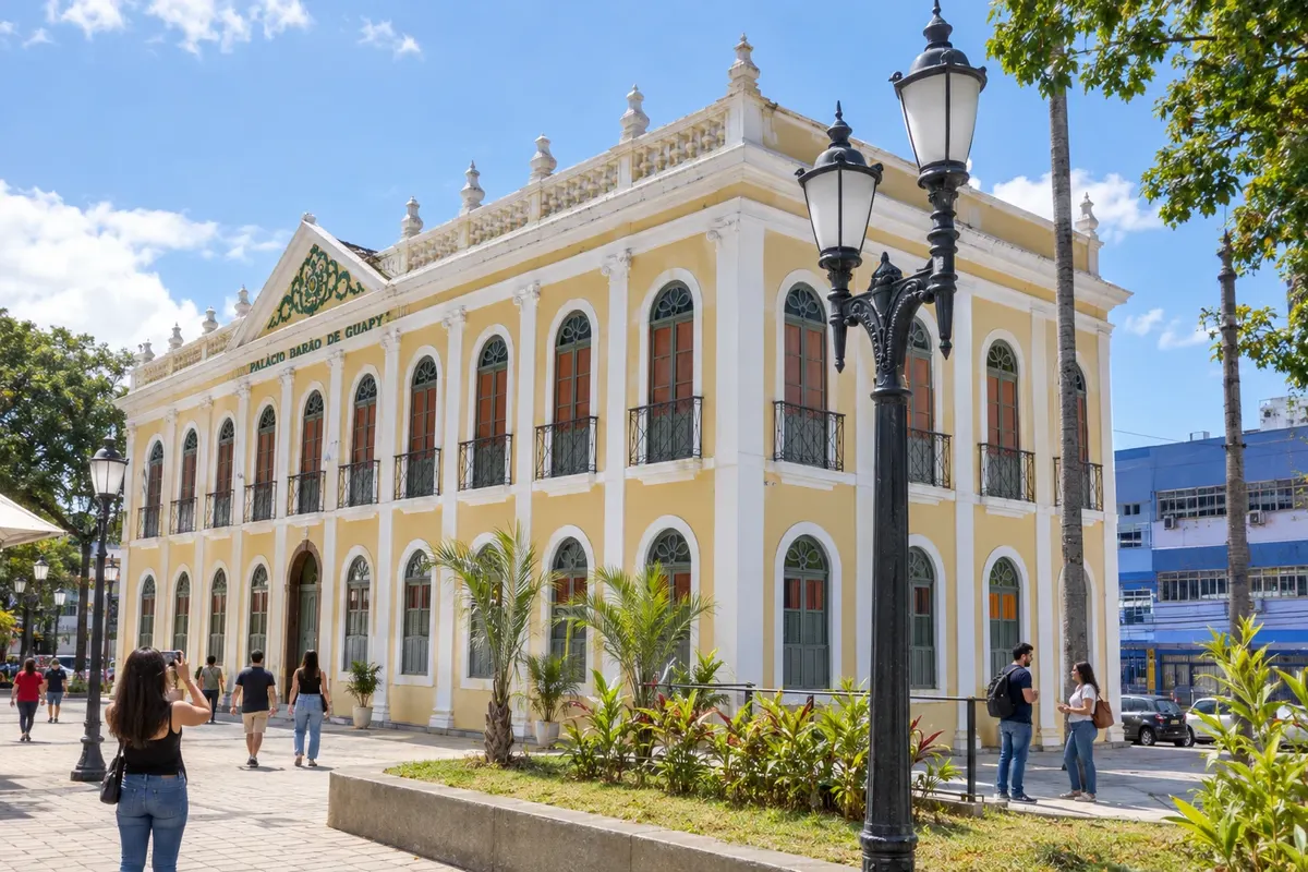
The Palácio Barão de Guapy and Parque Centenário form a cultural, tree-lined ensemble in the center of Barra Mansa. The Matriz de São Sebastião records the religious memory, while Fazenda da Posse houses historical documentation. The city has its own heritage and activities for a full urban stage.
→ Rio Claro The RJ-155 links Barra Mansa to Rio Claro across hilly terrain. The route features curves and changes in elevation; check road conditions, especially after rain.
-
 13 · RJ
Rio Claro
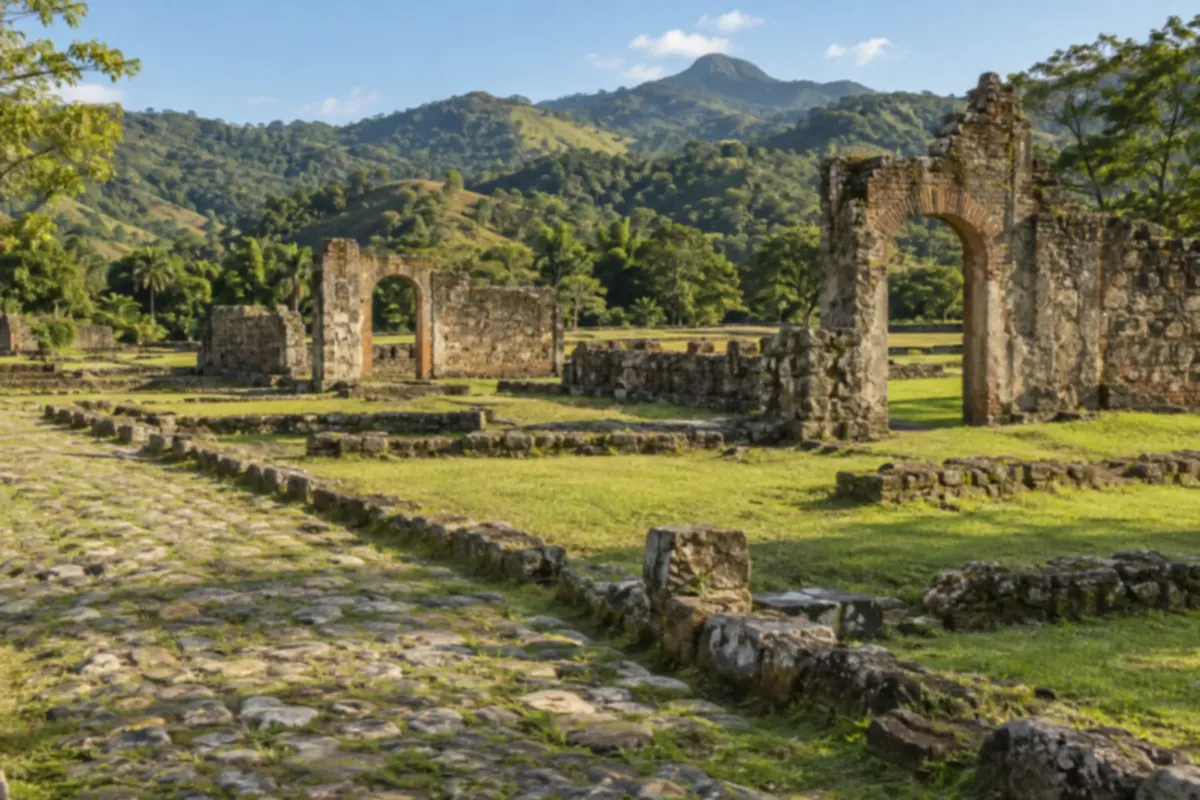
Rio Claro brings together the Matriz de Nossa Senhora da Piedade, in the municipal seat, and the district of Lídice, whose name recalls the Czech locality destroyed during World War II. The forested landscape and the surroundings of the Represa de Ribeirão das Lajes broaden the municipal context; check natural access routes before the outing.
→ Piraí From Rio Claro to Piraí, the regional connection uses RJ-139, with access to the Passa Três sector. Check the junction to Piraí's municipal seat before departing; this stage closes the itinerary.
-
 14 · RJ
Piraí
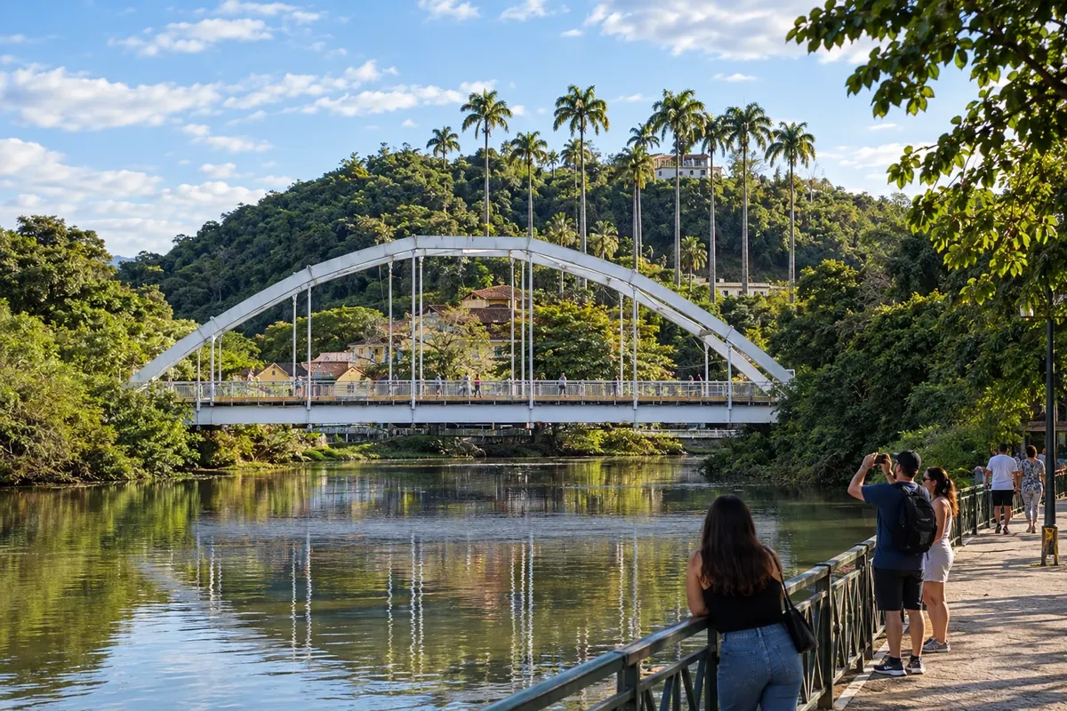
The Matriz de Sant’Ana and the landscape of the Represa de Ribeirão das Lajes provide religious and energy references to Piraí. The municipal seat and the corredor da Presidente Dutra show how the inland area coexists with current activities. This final stage ends in the municipality, with no registered return section.
How many days
To visit the 14 municipalities with stops, divide the trip into several stages. A weekend only accommodates a nearby cluster. Set aside dedicated days for scheduled fazendas and for distant districts, avoiding reducing each town to a quick drive-through.
Best time to go
The drier months make rural routes and outdoor walks easier. In summer, check rain warnings and road conditions. Serenades, agricultural fairs and cultural activities should follow each location's confirmed schedule.
How to travel it
Use a car or pre-arranged transport to link the municipalities and reach districts and fazendas. In town centers, walk when the paving and changes in elevation allow. The illustrated map shows the sequence; navigation, road conditions and authorized entrances need to be checked separately.
Who it's for
For those wishing to discover urban and rural heritage, museums, music and the social memory of the inland areas of Rio de Janeiro. The route includes sites with uneven terrain and access to be confirmed, which should be selected according to visitors' mobility and interests.
Your questions
Frequently asked questions about the Vale do Café
Is the Vale do Café traversed by a single road?
The region combines several highways and urban and rural accesses. The sequence of municipalities organizes the trip, but each connection needs to be checked before departure.
Why does the route include 14 municipalities?
The itinerary brings together the coffee heritage, the railway, landscapes and urban transformations of the fluminense interior. Each municipality adds its own places and stories.
How should visits to the farms be organized?
Book directly with each property and confirm entry, the tour format and the areas available. The presence of a historic manor does not guarantee reception without prior arrangement.
Are Conservatória and Ipiabas separate municipal stops?
They are districts: Conservatória belongs to Valença, and Ipiabas to Barra do Piraí. Visits to them are part of their respective municipal stages.
Do the map lines serve for navigation?
The illustrated map shows the order of the cities. Use current road guidance to define the routes, and do not treat the drawn lines as actual access roads or measured distances.