

Route · TO
Jalapão Route
A circuit starting from Palmas among dunes, fervedouros, rivers and communities of the Jalapão.
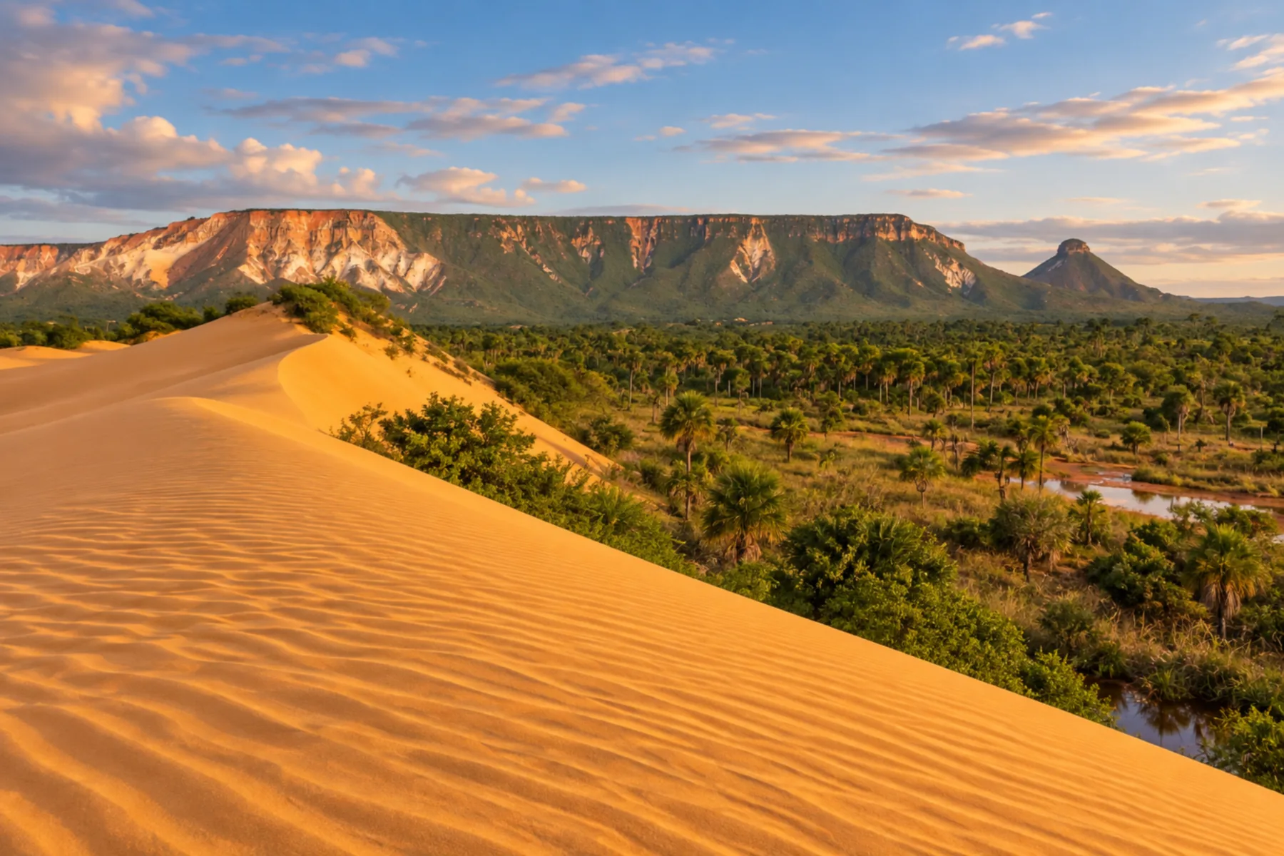
In the photo: Dunas do Jalapão at sunset, in Mateiros, Tocantins.
Illustrative images. The pictures in this guide are illustrations based on the real place, not photographs, and may differ from it.
The route
What the Jalapão Route is
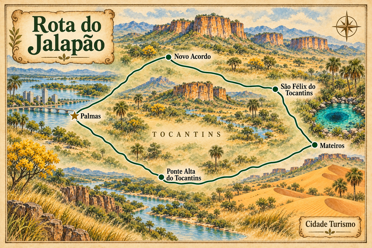
The Jalapão Route brings together Palmas, Ponte Alta do Tocantins, Mateiros, São Félix do Tocantins and Novo Acordo in a circuit with departure from and return to the capital. This itinerary enters via Ponte Alta and returns via Novo Acordo. There are also routes in the opposite direction; the sequence can be adjusted to the chosen attractions and to access conditions.
In the interior of Tocantins, the landscape combines Cerrado, sandstone ranges, orange dunes, rivers and springs. Fervedouros are characteristic visiting points of the region. Mateiros serves as a base to visit the Dunas do Jalapão, the Cachoeira do Formiga and the community of Mumbuca, linked to capim dourado handicrafts.
Palmas concentrates arrival and the organization of the trip. Ponte Alta is one of the gateways to the Jalapão, while Mateiros and São Félix function as bases for excursions. Novo Acordo is part of the return route to the capital. The circuit crosses a tourist region larger than the Parque Estadual do Jalapão.
Transfers are part of the experience and should be included in planning. There are paved accesses and stretches of dirt and sand, as well as works that change road conditions. For excursions inside the Jalapão, arrange 4x4 transport and local accompaniment; visits to the park follow specific driving rules and require authorization from the administration.
The map
5 cities along the way
The journey
City by city
Distances and times are approximate: check before you set off.
-
 1 · TO
Palmas
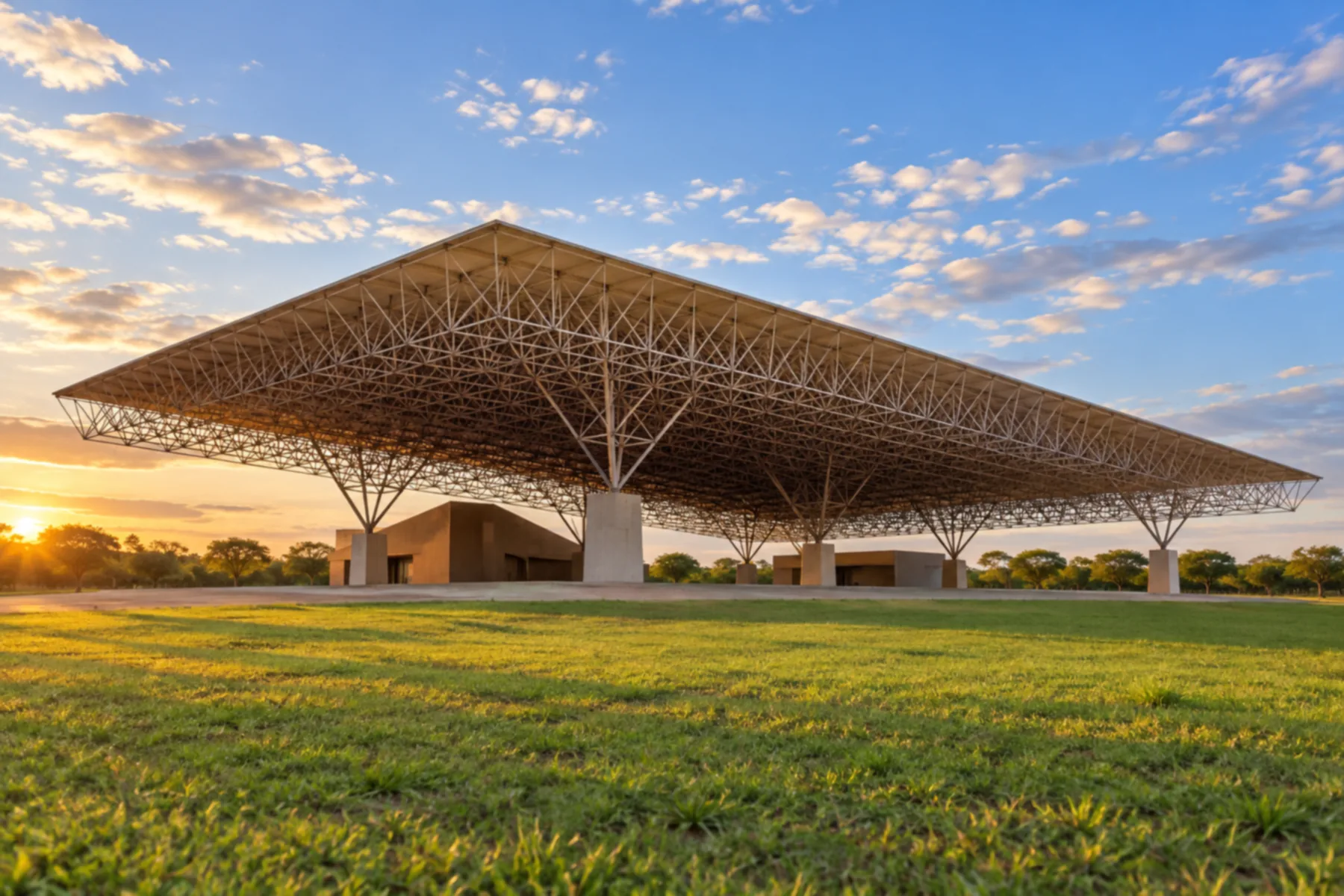
Capital of Tocantins and the arrival point, organization center and return of the circuit. It is the reference point to begin the expedition to the Jalapão.
→ Ponte Alta do Tocantins Departure from Palmas via paved road accesses, with connection to Ponte Alta via the TO-255. Confirm the alternative with the driver; the expedition continues in a 4x4 on the Jalapão accesses.
-
 2 · TO
Ponte Alta do Tocantins
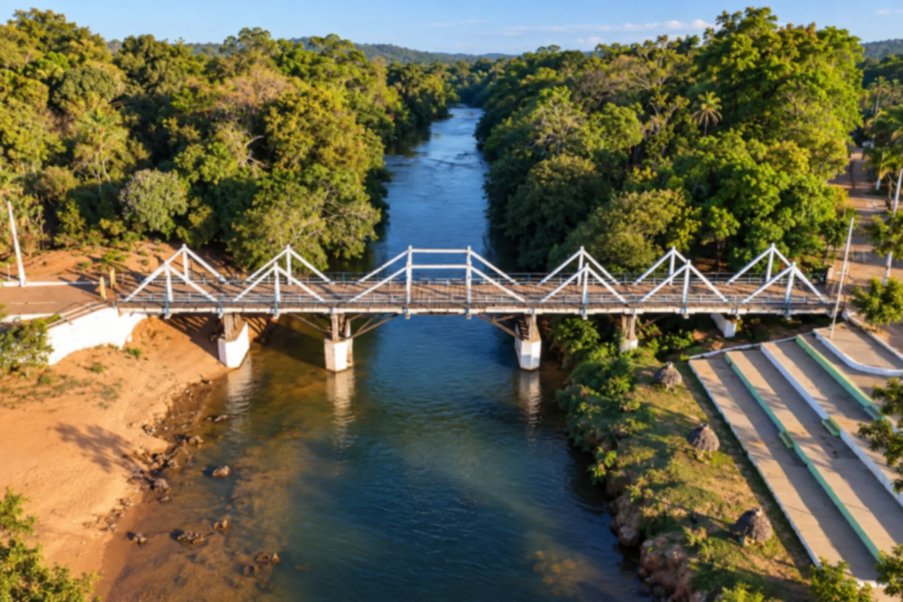
One of the gateways to the Jalapão. In this itinerary it is the first base before heading inland towards Mateiros.
→ Mateiros about 160 km Connection via the TO-255, with stretches of dirt and sand and accesses to attractions. Travel in a 4x4 with an experienced driver. The distance is a reference for access between towns; detours for excursions are not included.
-
 3 · TO
Mateiros
Base to visit the Dunas do Jalapão, the Cachoeira do Formiga and fervedouros. The municipality also hosts the community of Mumbuca and its capim dourado handicraft.
→ São Félix do Tocantins about 80 km Connection along the TO-110/TO-030 axis, with accesses to the fervedouros and to the community of Prata. Use a 4x4 and confirm dirt sections and works. The distance is a reference between towns, excluding excursion detours.
-
 4 · TO
São Félix do Tocantins
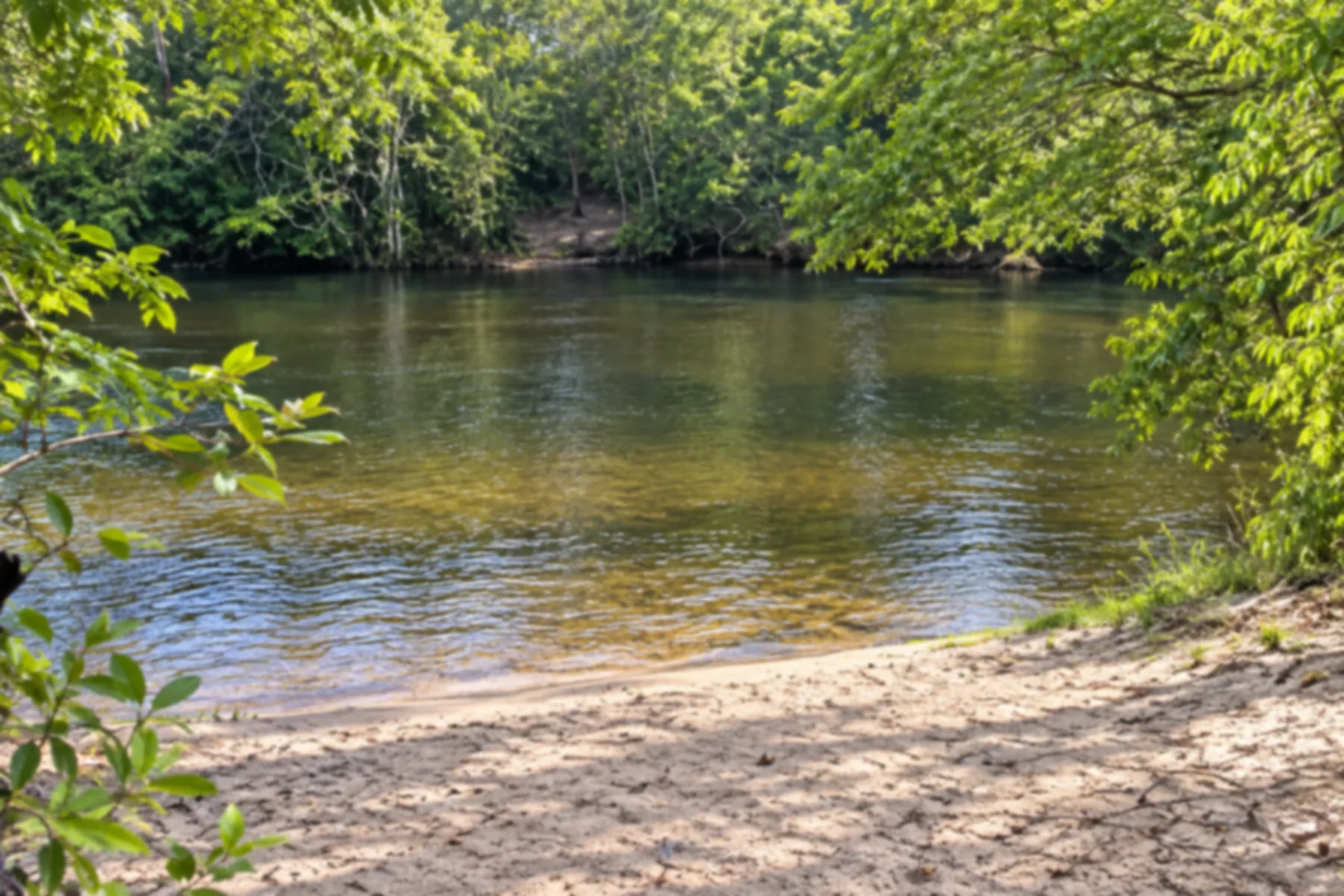
Base for excursions to fervedouros and landscapes of the Rio Sono. The community of Prata is part of the municipality's cultural experiences.
→ Novo Acordo Follow the TO-030 axis towards Novo Acordo in a 4x4. There are paving interventions on accesses to São Félix; confirm with the driver the dirt and paved segments and any detours.
-
 5 · TO
Novo Acordo
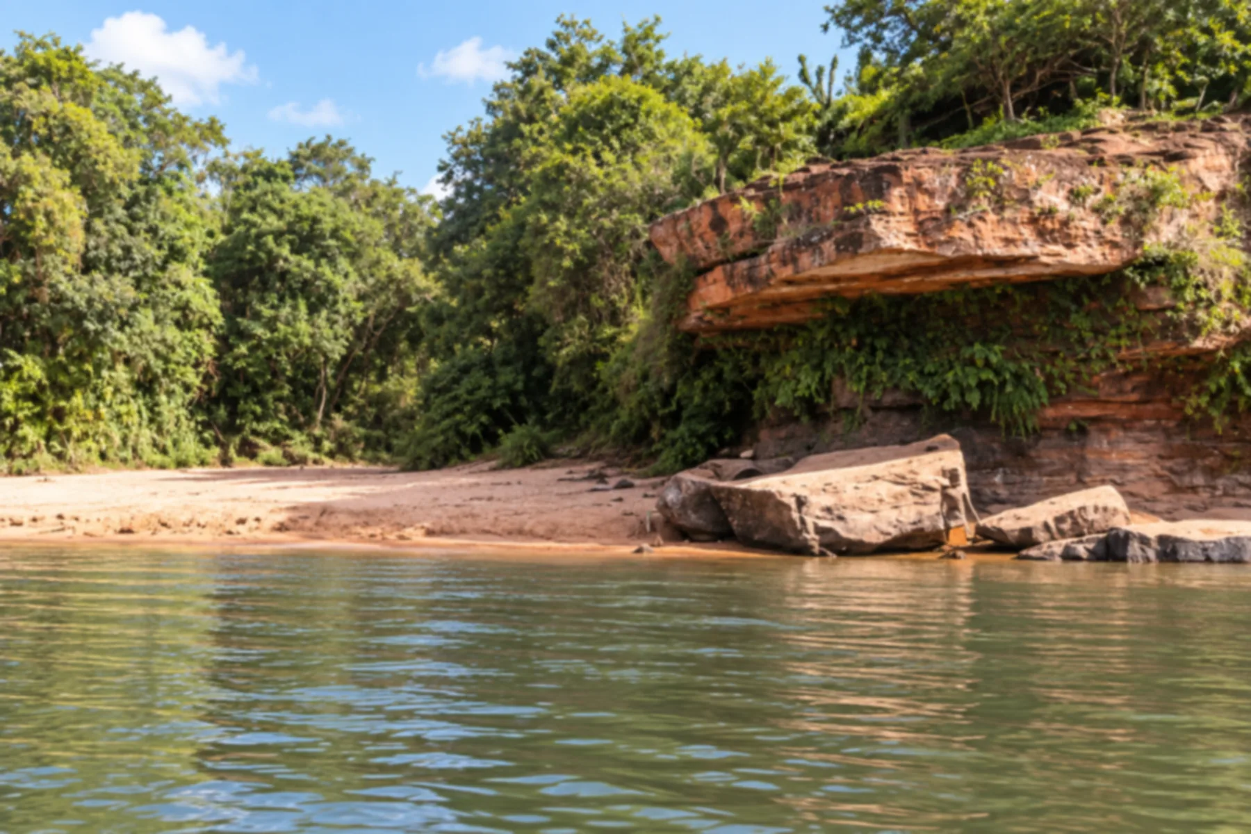
Forms part of the access to the Jalapão from the São Félix side. In this itinerary, it marks the last stop of the circuit before returning to Palmas.
→ Palmas Return to Palmas via paved road accesses. Coordinate the return route with the driver and keep a margin in planning to conclude the expedition and continue your journey.
How many days
Itineraries range from four days to a week, depending on the attractions and the pace of the expedition. Also allow time for arrival to and departure from Palmas. Coordinate the number of stops with the agency or driver so transfers don't take up all available time.
Best time to go
The dry season, generally from May to September, is a planning reference. In the rainy period, accesses can have mud and puddles; in the dry season, sand and dust also require attention. Check road conditions and attraction rules close to your visit date.
How to travel it
Do the circuit in a 4x4 vehicle, with an experienced agency or driver in the region. There are paved sections and dirt and sand accesses; works and rain can change the route. In the Parque Estadual do Jalapão, visits require a guide or local driver and authorization from the administration. Confirm bookings before departure.
Who it's for
For those seeking nature, walks among dunes and springs and contact with Cerrado communities, and who accept travel in a 4x4 vehicle. There are hikes and access conditions that vary between attractions; coordinate the itinerary with the driver according to the group's fitness and needs.
Your questions
Frequently asked questions about the Jalapão Route
Does the route start and end in Palmas?
Yes. This itinerary departs from Palmas, passes through Ponte Alta do Tocantins, Mateiros, São Félix do Tocantins and Novo Acordo, and returns to the capital. There are also routes in the opposite direction; the choice depends on the excursions and road conditions.
Do I need a 4x4 vehicle?
A 4x4 is the recommended transport for the interior of the Jalapão and accesses to the attractions. Part of the approach to the region is paved, but that doesn't eliminate stretches of dirt and sand. Arrange the expedition with someone who knows the local roads.
Is it necessary to hire a guide?
In the Parque Estadual do Jalapão, visits require accompaniment by a guide or local driver and authorization from the administration. For the circuit, an agency or an experienced driver helps organize transfers, excursions and bookings. Confirm the provider's credentials and the rules of each attraction.
What is the best time to do the circuit?
The dry season, generally from May to September, is a reference for planning. Roads still require attention because of sand and dust. In the rainy season, mud and puddles can affect accesses; check conditions close to your trip.
How many days should I allow?
There are itineraries from four days to a week. Duration depends on the attractions, stops and the group's pace. Consider transfers and arrival/departure days to/from Palmas when planning.
Does the map show the exact route of the roads?
The map is illustrative and shows the sequence of towns and their approximate positions. The trace does not replace navigation or local guidance. The actual route can change depending on excursions, roadworks and road conditions.