
Route · AL
Rota Ecológica dos Milagres
Barra de Camaragibe, beaches of Milagres and mangroves of Porto de Pedras on a coastal route through three municipalities of Alagoas.
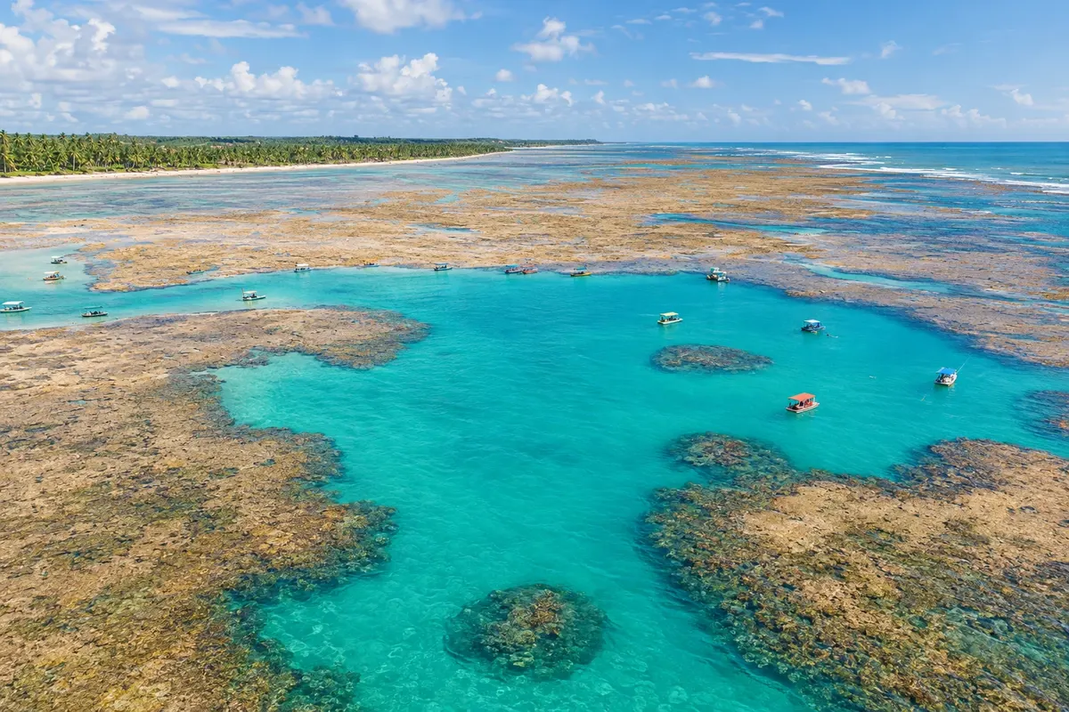
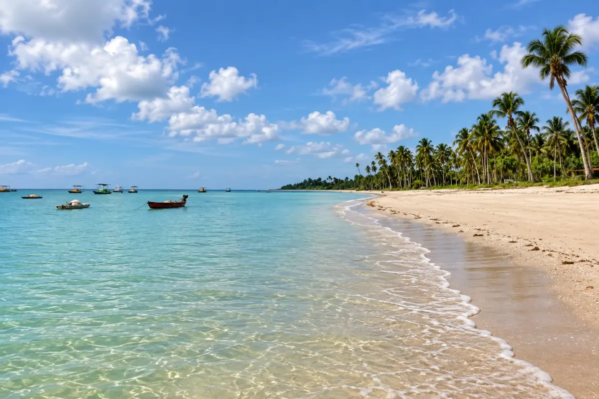
In the photo: Natural pools at Praia do Patacho, in Porto de Pedras, Alagoas.
Illustrative images. The pictures in this guide are illustrations based on the real place, not photographs, and may differ from it.

The route
What the Rota Ecológica dos Milagres is
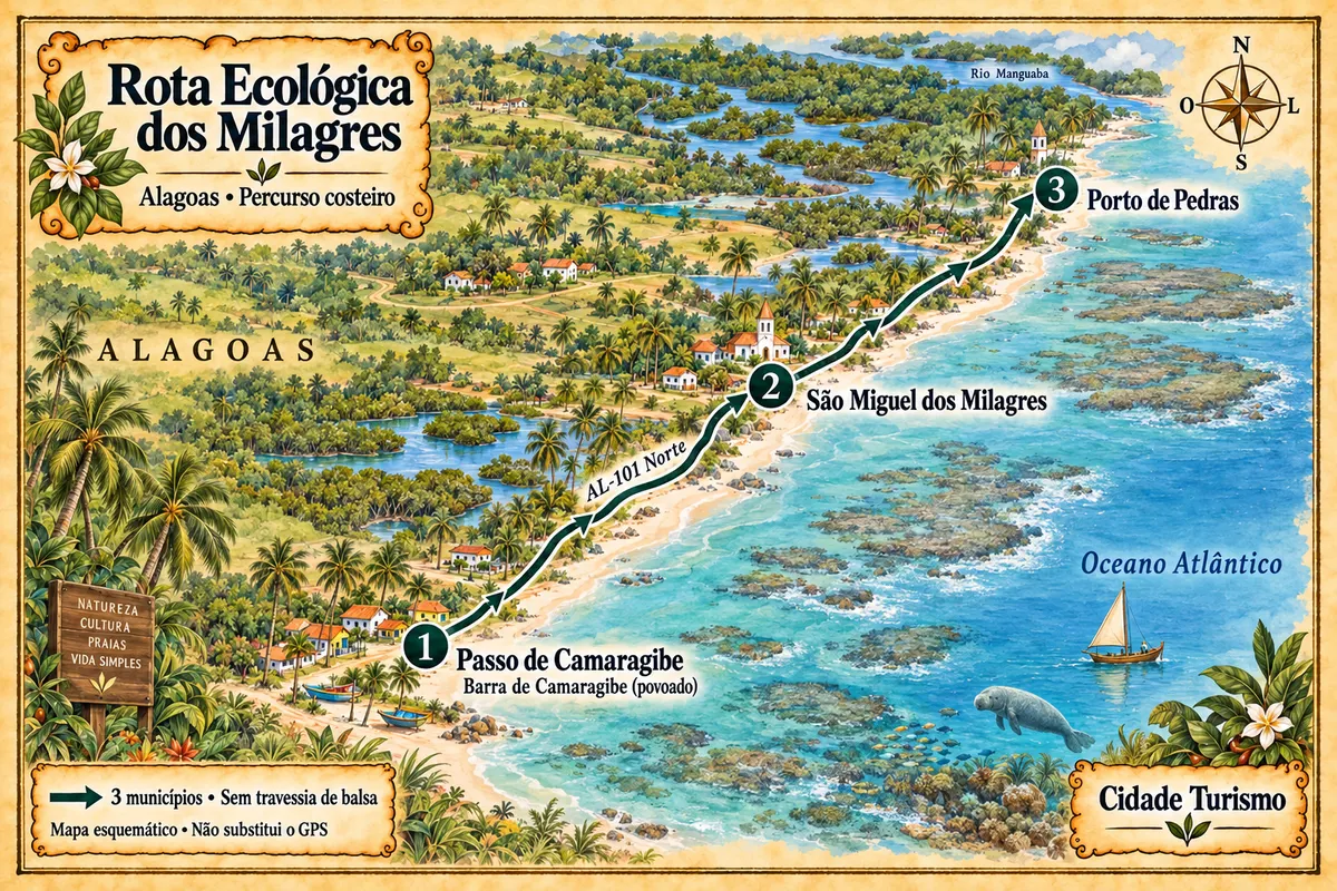
The Rota Ecológica dos Milagres runs along the coast of Passo de Camaragibe, São Miguel dos Milagres and Porto de Pedras, on the Costa dos Corais. The trip starts in the Barra de Camaragibe area and continues along the beaches and villages served by the AL-101 Norte. Coconut groves, reefs and estuaries characterize the movements between stops.
The natural pools depend on the tide and sea conditions. Tours inside the protected area follow local visitation rules and must use authorized providers. In Porto de Pedras, the manatee-watching experience on the Rio Tatuamunha requires a guide and prior booking; the presence of animals is not guaranteed. This route ends before crossing the Rio Manguaba and does not include Japaratinga or Maragogi as stops.
The map
3 cities along the way
Mapa: @svg-maps/brazil, CC BY 4.0
The journey
City by city
Distances and times are approximate: check before you set off.
-
 1 · AL
Passo de Camaragibe
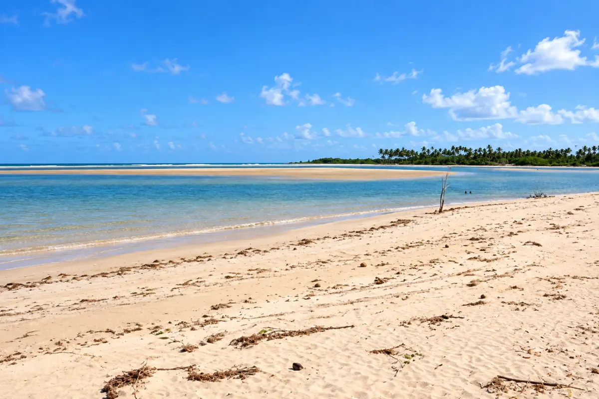
Passo de Camaragibe opens the trip at the village of Barra de Camaragibe, where the river of the same name meets the sea. Praia do Marceneiro brings together coconut groves and reefs in another stretch of its coast. This stage focuses on that coastal strip of the municipality, with beaches and mangroves tied to the Costa dos Corais.
→ São Miguel dos Milagres Leave Barra de Camaragibe via the coastal axis of the AL-101 Norte, passing through the Marceneiro sector to São Miguel dos Milagres. The connection is paved; to reach the shoreline, use the local accesses and do not regard the beach as a continuation of the road.
-
 2 · AL
São Miguel dos Milagres
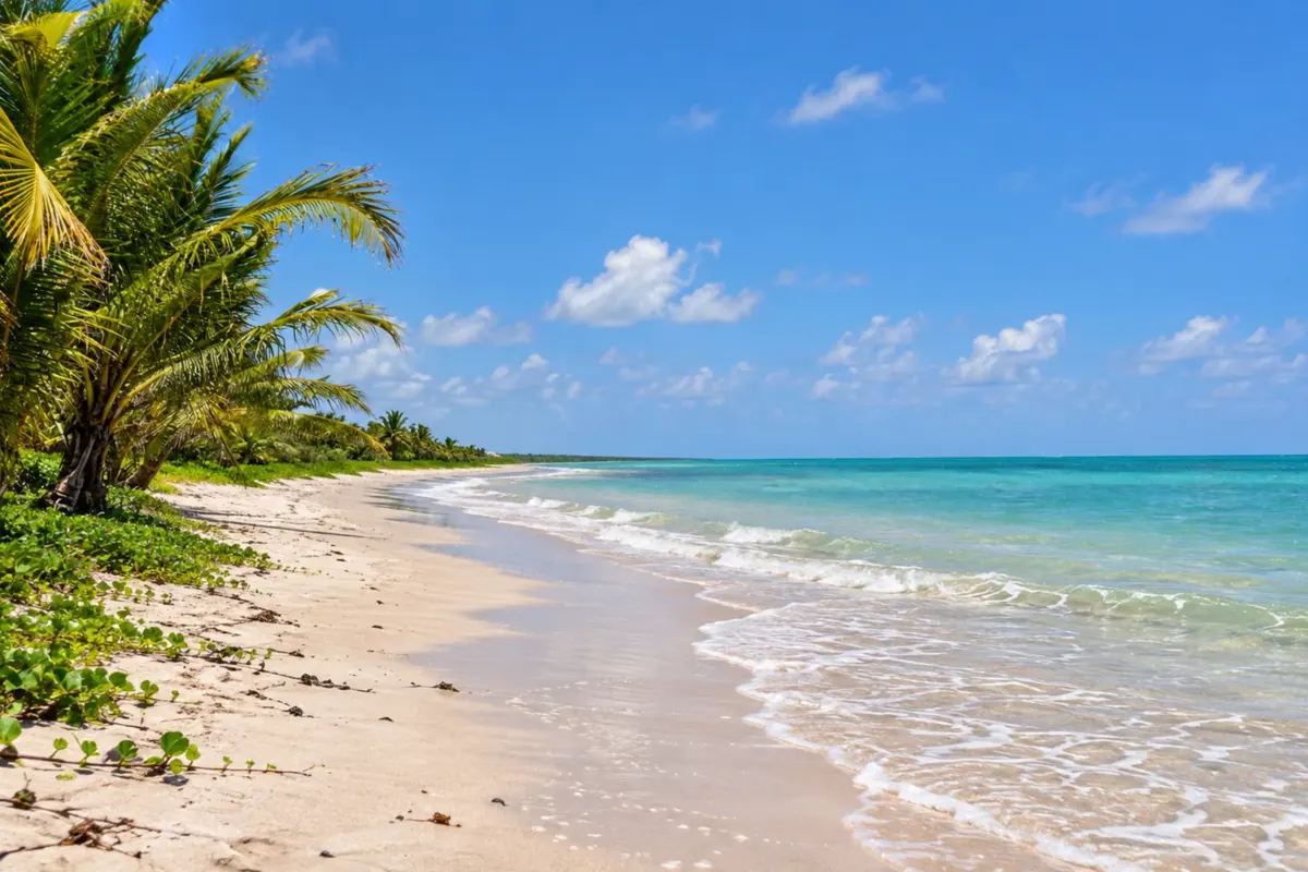
São Miguel dos Milagres includes Praia do Toque and the fishing hub of Porto da Rua, as well as Praia do Riacho. Jangada trips take visitors to permitted natural pool areas, depending on the tide and visitation rules. The stop alternates shoreline walks and observation of the reef environments.
→ Porto de Pedras Continue along the AL-101 Norte through Porto da Rua and the Tatuamunha area to Porto de Pedras. The coastal road crosses villages and coconut groves; Patacho and Lages are accessed separately, and the estuary trip requires separate boarding.
-
 3 · AL
Porto de Pedras
Porto de Pedras has the beaches of Patacho and Lages and the community manatee-watching experience on the Rio Tatuamunha. The estuary trip depends on booking, a guide and tide conditions, with no guarantee of seeing animals. The municipality closes this section of the route before the Rio Manguaba.
How many days
Four to six days are suggested to spread out the beaches and estuary boat trips. The number of nights may change depending on the tides, weather conditions and the scheduling of water-based activities.
Best time to go
Between September and March, the Milagres coastline usually offers favorable conditions for beach outings. Check the weather forecast and the tide table close to your trip; the calendar alone does not guarantee suitable conditions for visiting the reefs.
How to travel it
Follow the AL-101 Norte between Barra de Camaragibe and Porto de Pedras, using the local accesses to the chosen beaches. The coastal link is paved; each beach access has its own conditions. Check the rules and availability of tours before boarding, avoid touching animals or stepping on the reefs, and carry your waste back with you.
Who it's for
For those seeking beaches, mangrove landscapes and community-based tourism, with travel by car or hired transport and jangada trips separate from the road itinerary.
Your questions
Frequently asked questions about the Rota Ecológica dos Milagres
Which municipalities are part of this route?
Passo de Camaragibe, São Miguel dos Milagres and Porto de Pedras are the three stops in this institutional outline. Barra de Camaragibe belongs to the first municipality.
Is it necessary to cross the Rio Manguaba by ferry?
The itinerary shown ends in Porto de Pedras and does not cross the river. The ferry is part of the access to the coast of Japaratinga, which is outside this list of stops.
Can the natural pools be visited at any tide?
Scheduling depends on the tide table, sea conditions and the permitted areas. Confirm departures with an authorized provider and respect the reef rules.
Does the Rio Tatuamunha trip guarantee seeing manatees?
There is no guarantee of sightings. The community experience requires a guide and booking, follows the estuary's visitation rules and may be altered according to the tide.
Do I need a car to travel the route?
A car or hired transport makes it easier to move between the three municipalities and access the beaches. Walks and bicycle rides serve local sections but do not replace planning for the road connections and boat boardings.