
Route · CE,PI,MA
Route of Emotions
From the coast of Jericoacoara to the Delta do Parnaíba and the Lençóis Maranhenses, across fourteen municipalities.
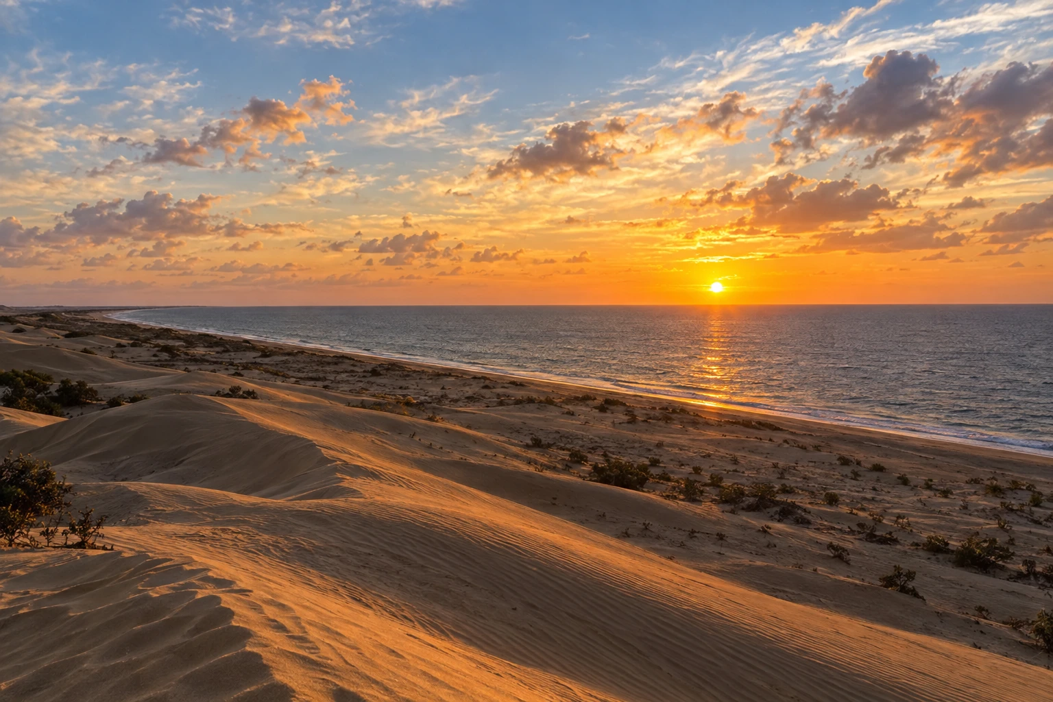
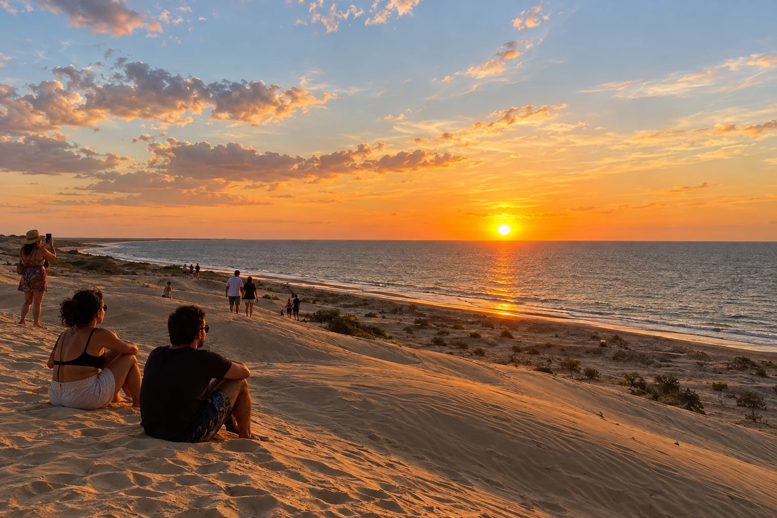
In the photo: Duna do Pôr do Sol, Tutóia, MA
Illustrative images. The pictures in this guide are illustrations based on the real place, not photographs, and may differ from it.

The route
What the Route of Emotions is
The Route of Emotions combines the coast of Jericoacoara, the Delta do Parnaíba and the Lençóis Maranhenses. The fourteen municipalities bring together beaches, dunes, communities and different travel bases across Ceará, Piauí and Maranhão.
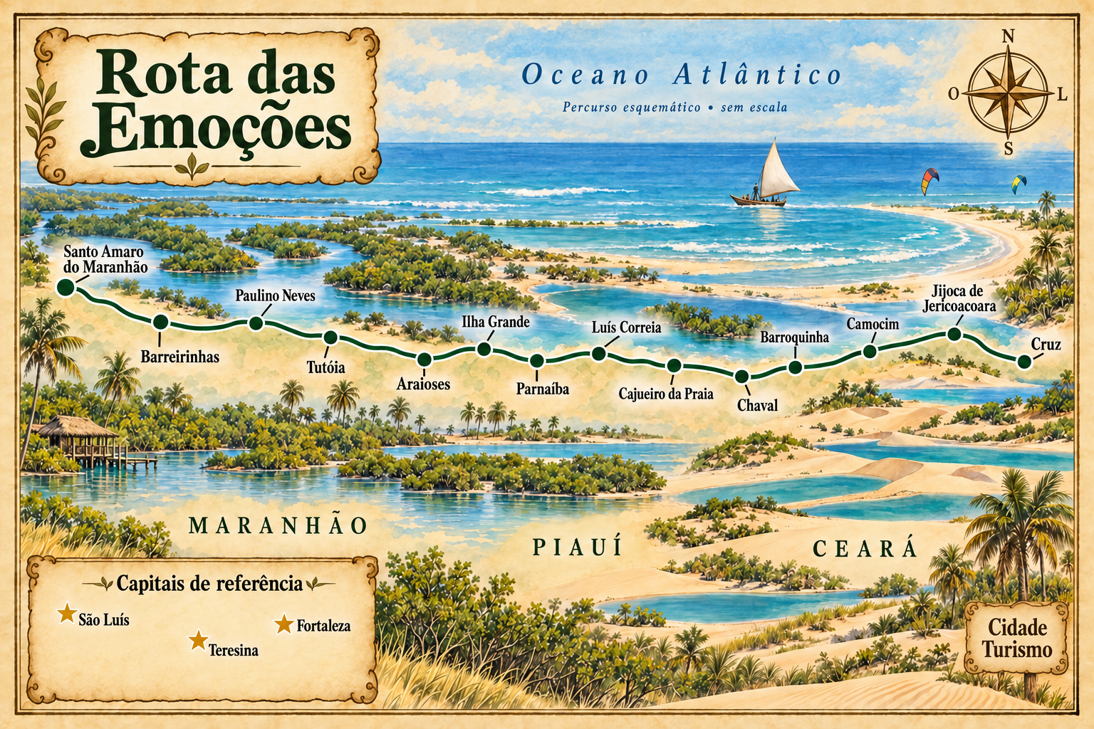
This itinerary arranges a sequence from east to west, starting in Cruz and Jijoca de Jericoacoara. Camocim, Barroquinha and Chaval allow continuation along Ceará's west coast. The order is a suggestion to distribute the trip, not an obligation to visit every town or a single official route.
In Piauí, Cajueiro da Praia and Luís Correia offer coastal excursions. Parnaíba can serve as a regional base; on Ilha Grande, Porto dos Tatus is the boarding point for delta trips. Visits to the islands and channels are standalone excursions, separate from land connections.
In Maranhão, Araioses and Tutóia are part of the delta landscape. The journey continues through Paulino Neves to Barreirinhas and Santo Amaro do Maranhão, bases for exploring the Lençóis Maranhenses. Choose circuits according to your dates, permitted accesses and the group's pace.
The map
14 cities along the way
The journey
City by city
Distances and times are approximate: check before you set off.
-
 1 · CE
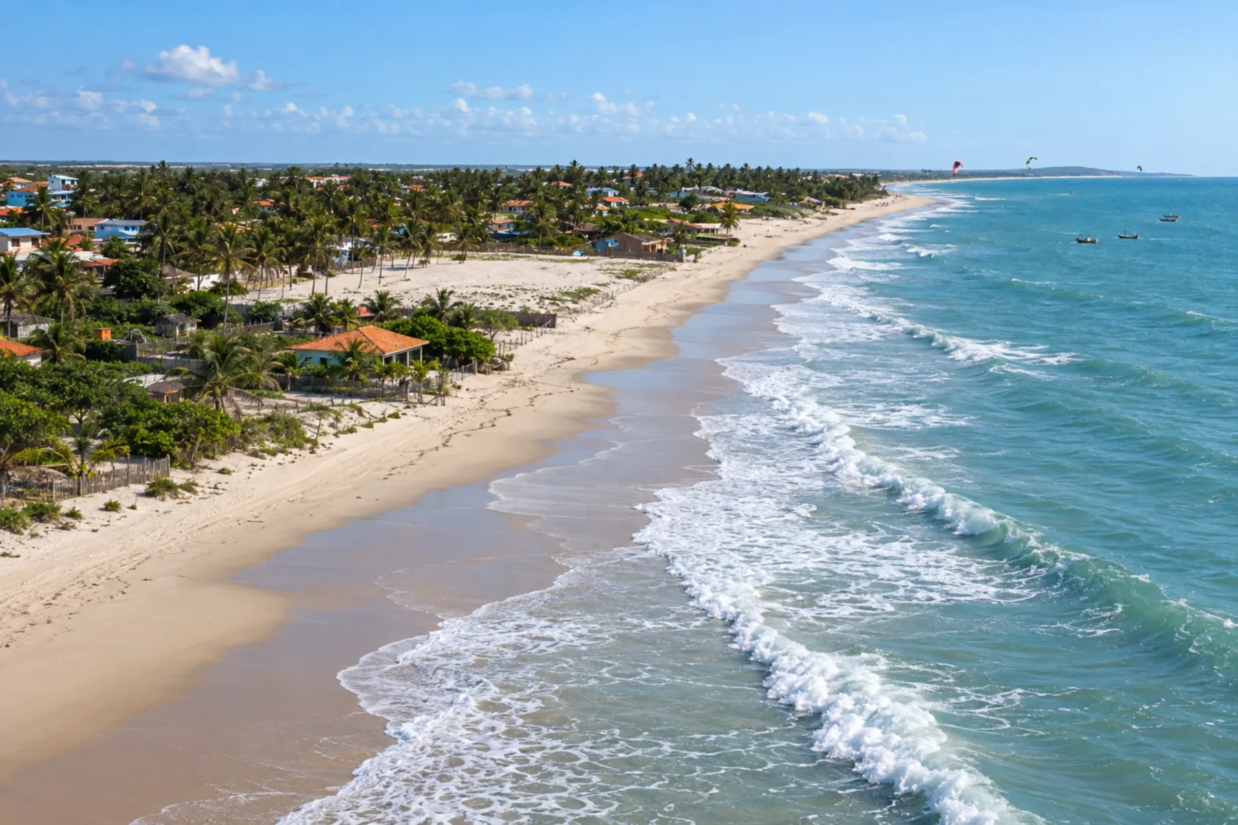
Cruz
Gateway on the Ceará coast, with regional access before continuing to Jijoca de Jericoacoara.
→ Jijoca de Jericoacoara Between Cruz and the municipal seat of Jijoca de Jericoacoara, use the CE-085 connection. Access to the village of Jericoacoara is a separate transfer and should be arranged independently, not to be confused with the municipal seat.
-
 2 · CE
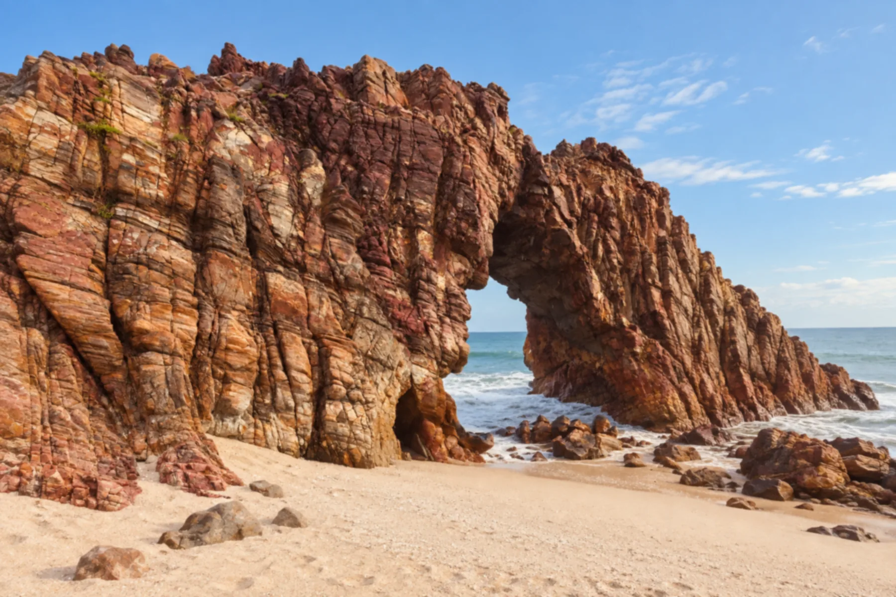
Jijoca de Jericoacoara
Municipality of Jericoacoara, one of the route's bases. Arrange local access and excursions separately.
→ Camocim From the Jijoca municipal seat, the road connection to Camocim follows the CE-085, passing through Granja. It is an alternative to the tourist coastal route; access to the sand requires separate planning.
-
 3 · CE
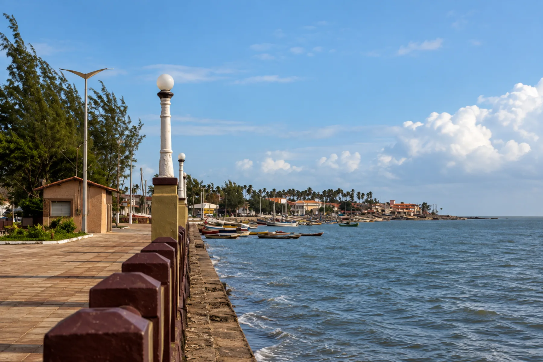
Camocim
Stop on Ceará's west coast before continuing toward Barroquinha.
→ Barroquinha Camocim and Barroquinha are linked by the CE-085/BR-402 corridor. Arrival at Barroquinha’s municipal seat is different from the detour to Bitupitá, which should be planned as an additional coastal visit.
-
 4 · CE
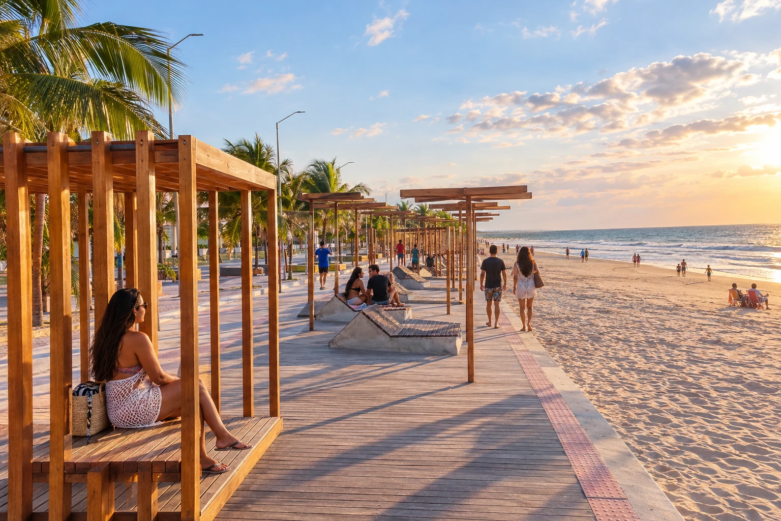
Barroquinha
Praia de Bitupitá offers a chance to experience the coast and the fishing-linked landscape.
→ Chaval Follow from Barroquinha to Chaval via the CE-085, along the BR-402 corridor. The link between municipal seats uses the region's road accesses; Porto do Mosquito is a visit separate from the transfer.
-
 5 · CE
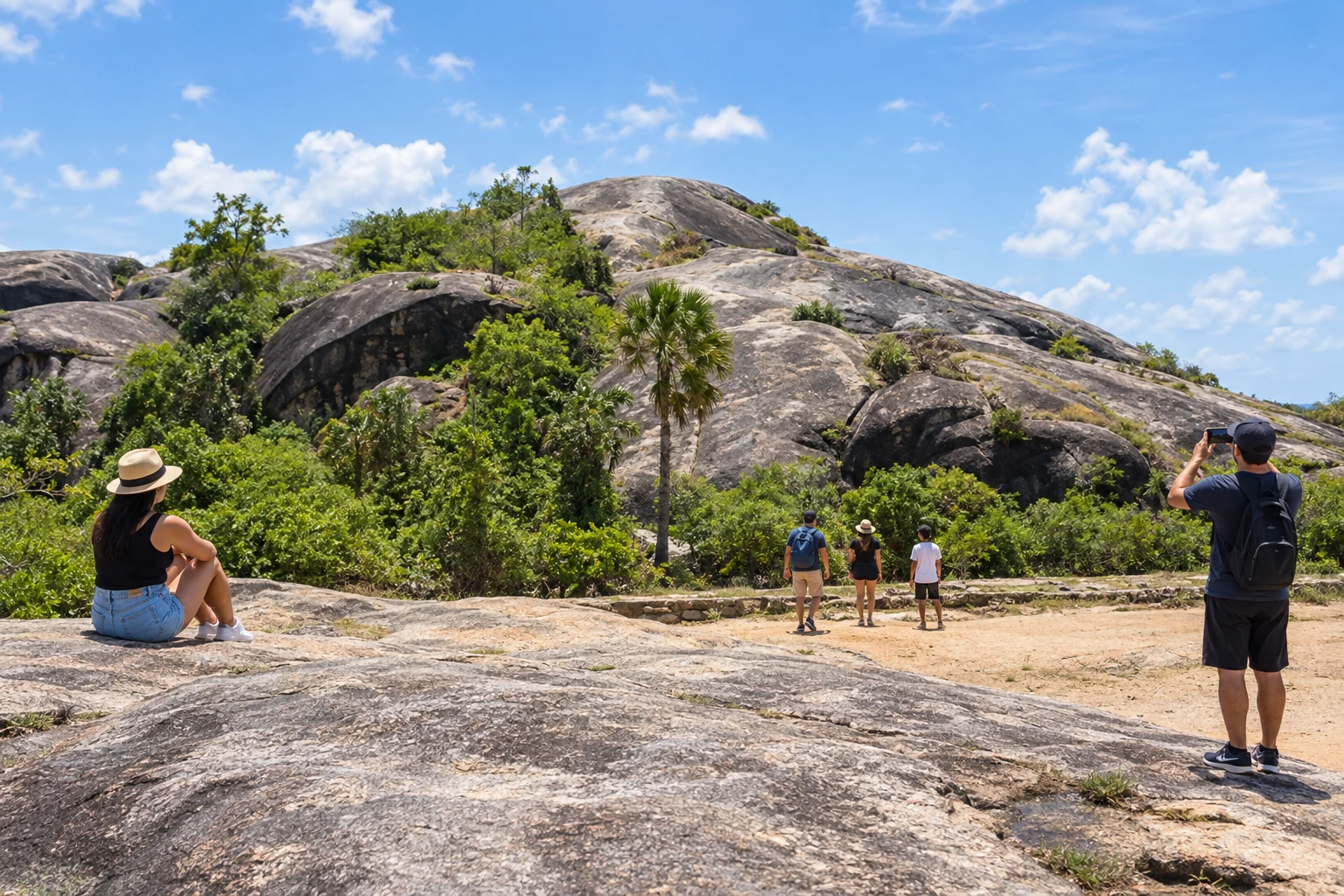
Chaval
The Pedras de Chaval and local fishing traditions mark this stop near the Piauí coastline.
→ Cajueiro da Praia From Chaval, cross the Ceará–Piauí boundary along the BR-402 corridor and take the access road to Cajueiro da Praia. Decide whether arrival will be at the municipal seat or at Barra Grande: these are different points within the municipality.
-
 6 · PI
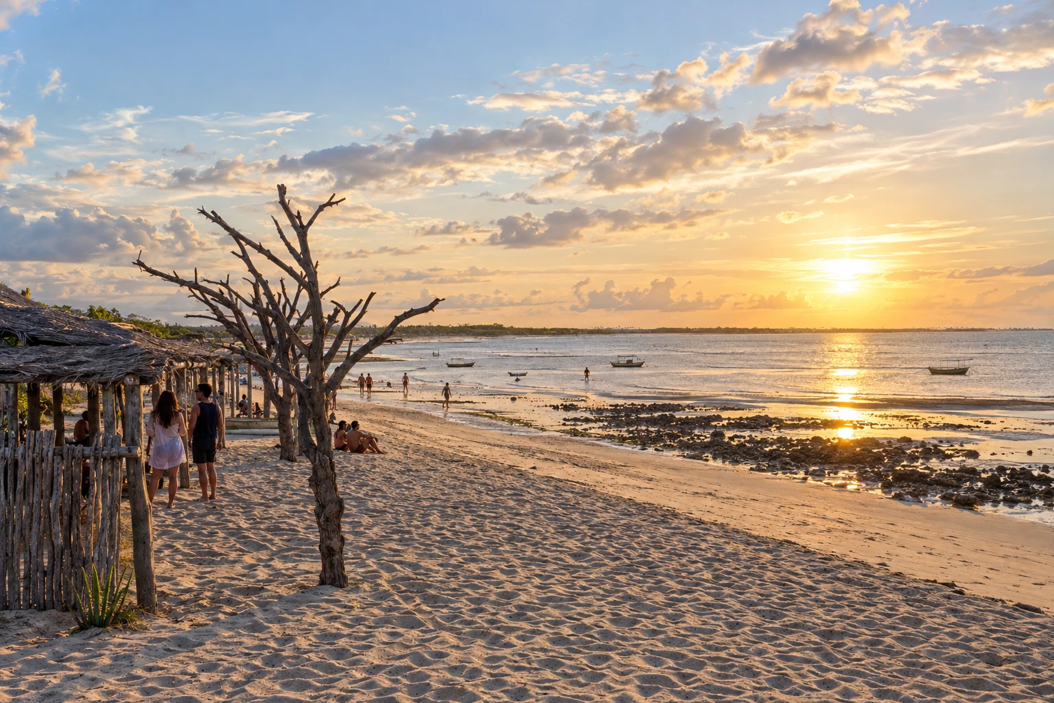
Cajueiro da Praia
Municipality of Barra Grande, Barrinha, Praia do Cajueiro and Cajueiro Rei. Choose excursions according to your base.
→ Luís Correia From Cajueiro da Praia to Luís Correia, use the return access to BR-402 and the connection to the Luís Correia municipal seat. Beach excursions on the Piauí coast should have separate defined entry and return points.
-
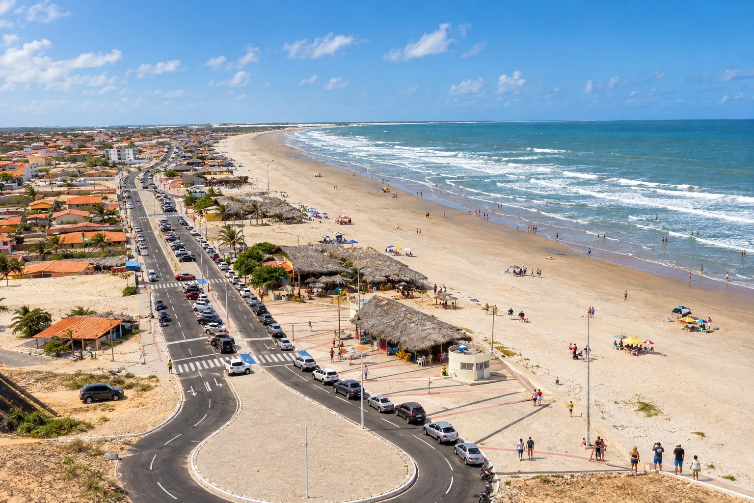 7 · PI
Luís Correia
Piauí coastal base for beaches such as Atalaia and Coqueiro and the Árvore Penteada landscape.
→ Parnaíba The connection between the municipal seats of Luís Correia and Parnaíba uses BR-343. If the excursion includes Atalaia, Coqueiro or Lagoa do Portinho, allow time for the specific accesses outside the main link.
-
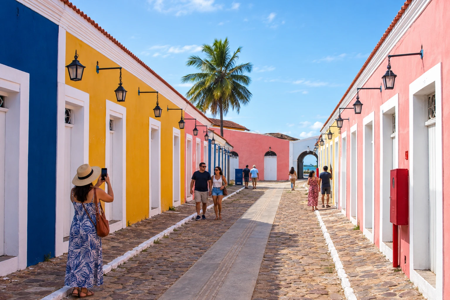 8 · PI
Parnaíba
Service base and regional arrival point before trips in the Delta do Parnaíba.
→ Ilha Grande From Parnaíba, cross the Ponte Simplício Dias over the Rio Igaraçu to reach Ilha Grande. Porto dos Tatus is the reference point for boat trips in the delta, which must be arranged in addition to road transport.
-
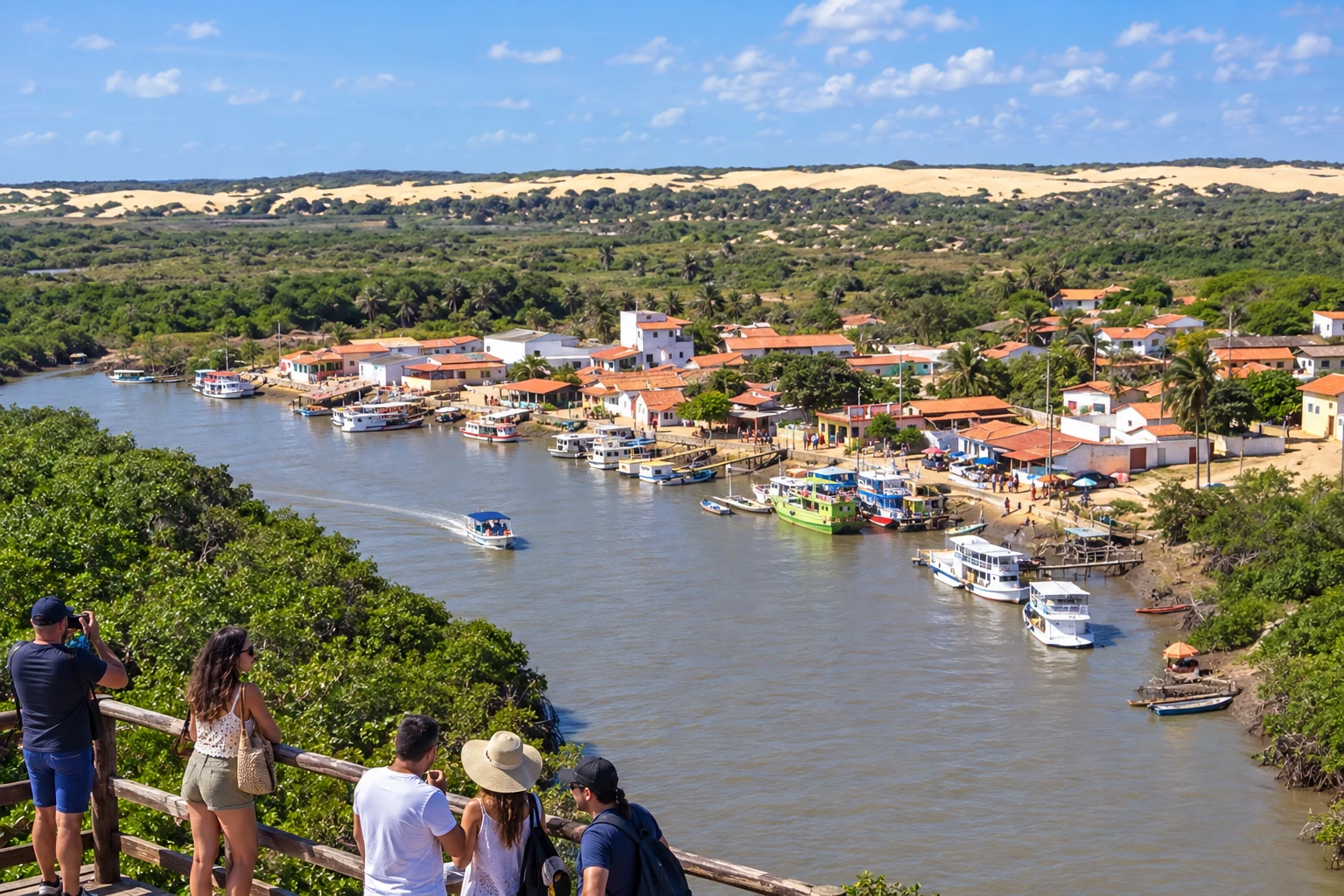 9 · PI
Ilha Grande
Porto dos Tatus is a boarding point for the delta. Boat trips are not included in the road section.
→ Araioses To go from Ilha Grande to Araioses by road, return to Parnaíba’s road corridor and use Maranhão accesses via BR-402 and MA-345. Boat trips between islands in the delta do not substitute this connection between municipal seats.
-
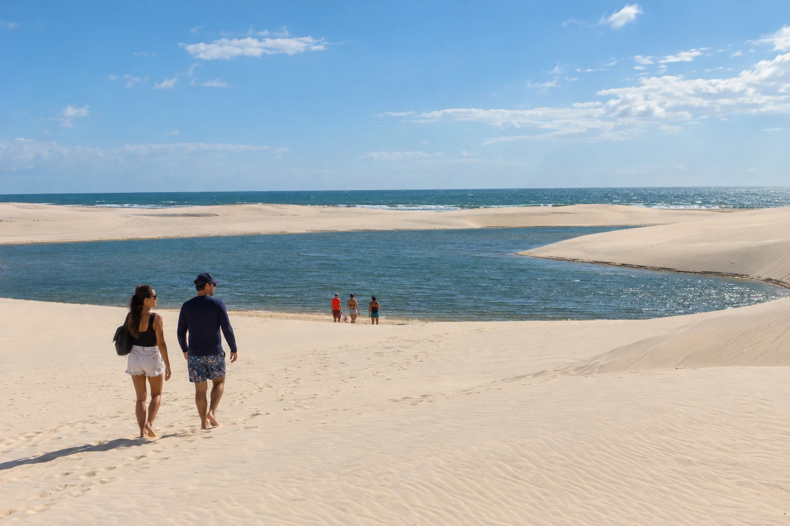 10 · MA
Araioses
Municipality of Ilha das Canárias and insular delta landscapes; organize excursions with separate boarding and return arrangements.
→ Tutóia Leave Araioses via MA-345 to the junction with MA-034 and continue toward Tutóia. The land journey is distinct from boat excursions around Ilha das Canárias and the arms of the Delta do Parnaíba.
-
 11 · MA
Tutóia
Combines beaches, dunes and access to the delta. The Duna do Pôr do Sol offers views of the coastal landscape.
→ Paulino Neves Tutóia and Paulino Neves are linked by MA-315. The transfer between the municipal seats does not require using beaches as roads; visits to Arpoador, Praia do Amor and the dunes need separate planning.
-
 12 · MA
Paulino Neves
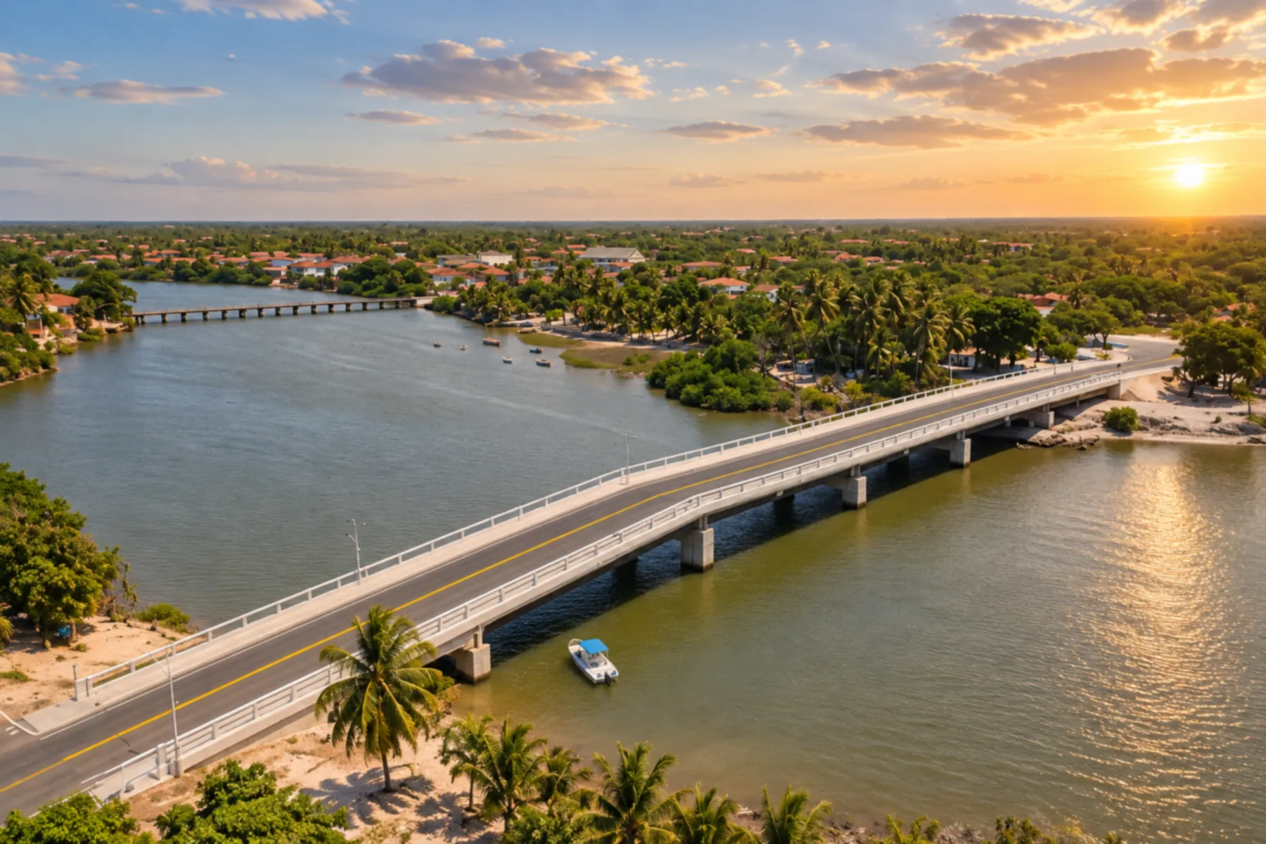
Passage between Tutóia and the Lençóis Maranhenses bases, with dune scenery.
→ Barreirinhas From Paulino Neves, follow MA-315 to Barreirinhas. The road connection links travel between the Delta do Parnaíba and the Lençóis Maranhenses; dune excursions are accessed via specific routes.
-
 13 · MA
Barreirinhas
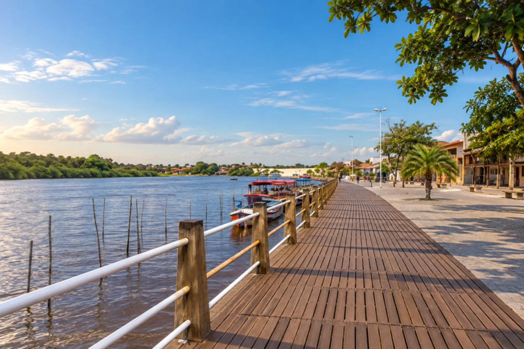
One of the bases for organizing visits to the Lençóis Maranhenses. Confirm access and local excursions.
→ Santo Amaro do Maranhão From Barreirinhas, return to BR-402 and follow it to the MA-320 access for Santo Amaro do Maranhão. This connection between bases is different from a walk across the Lençóis dune field.
-
 14 · MA
Santo Amaro do Maranhão
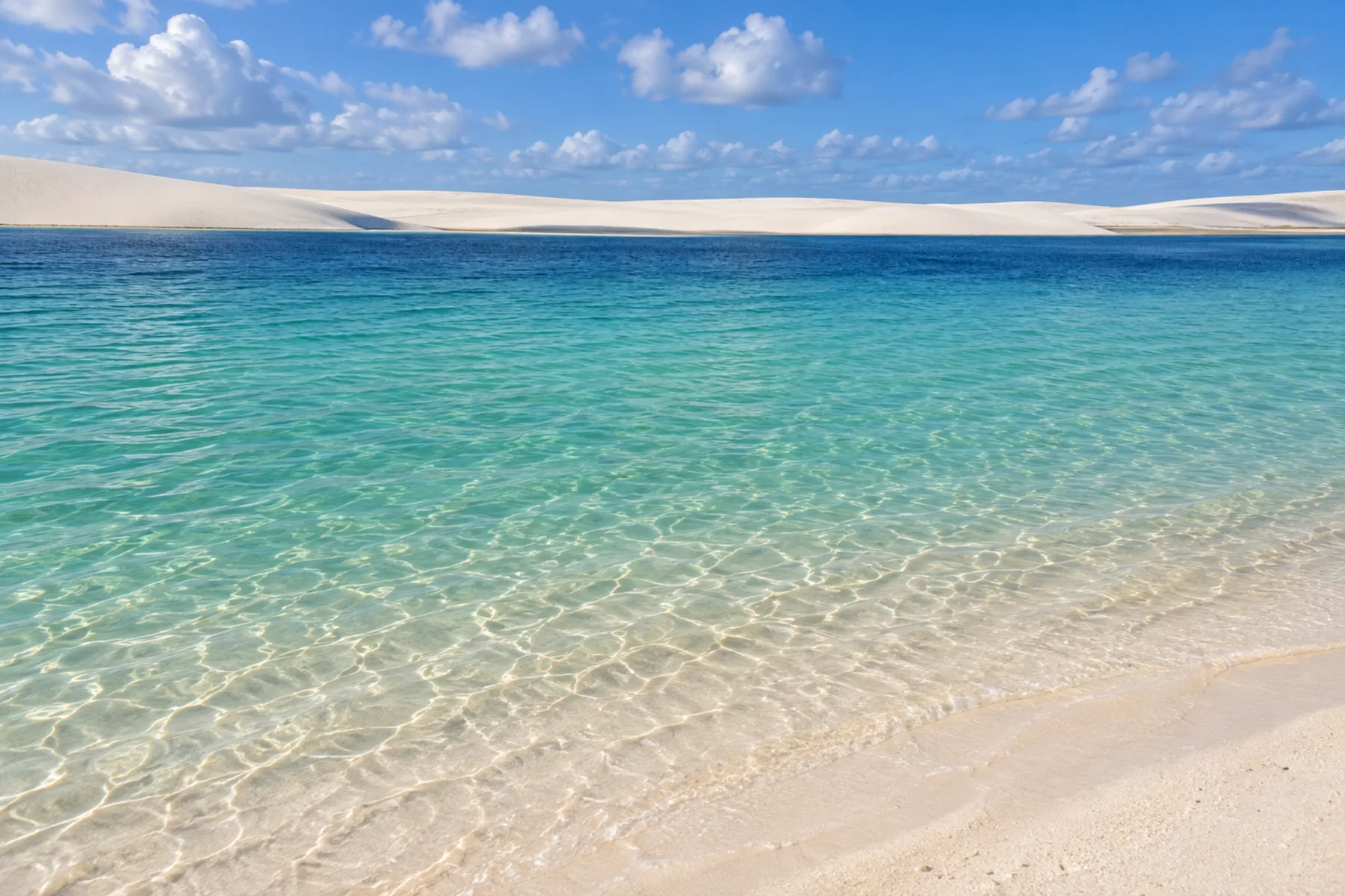
Another Lençóis Maranhenses base. Plan access to the park circuits separately.
How many days
We suggest twelve to sixteen days to combine bases, transfers and excursions with rest. With less time, choose part of the route. The duration is an editorial suggestion; not every municipality needs to host an overnight stay.
Best time to go
Timing should take into account the desired visit to the Lençóis, coastal forecasts and navigation conditions in the delta. The lagoons depend on rainfall, and the landscape appearance varies. Check conditions close to your travel dates and allow flexibility to reorganize excursions.
How to travel it
Use road connections and local access routes between bases. Dune tours, special-access beaches and islands may require suitable vehicles or boats; arrange each service with operators and check local regulations. The map shows the municipal sequence, not a continuous road across the sand.
Who it's for
For those who want to combine beaches, dune landscapes and delta excursions in a trip with multiple bases. Choose activities according to the group's pace and needs.
Your questions
Frequently asked questions about the Route of Emotions
Do I need to visit all fourteen municipalities?
No. The sequence shows the region covered by the route. Choose bases and excursions according to the available time.
Is the order an official mandatory itinerary?
No. This itinerary suggests a progression from Ceará to Maranhão. The route can be done in sections or in the reverse direction.
Can I drive the whole trip along the beach?
Do not treat the route as a continuous road across the sand. Use proper access roads between bases and organize local excursions separately.
Where do I board for delta tours?
Porto dos Tatus, in Ilha Grande, and Tutóia are departure points. Confirm the boarding point for each tour with the operator.
Is Ilha das Canárias a municipality?
No. The locality belongs to Araioses, in Maranhão.
Are the capitals on the map stops?
Fortaleza, Teresina and São Luís appear as location references. They are not part of the fourteen stops on this itinerary.