

 Argentina
 Bolivia
 Chile
 Colombia
 Ecuador
 Guyana
 French Guiana
 Falkland Islands (Malvinas)
 Paraguay
 Peru
 Suriname
 Uruguay
 Venezuela
 Germany
 Austria
 Belgium
 Croatia
 Denmark
 Slovakia
 Slovenia
 Spain
 Finland
 France
 Greece
 the Netherlands
 Hungary
 Ireland
 Iceland
 Italy
 Luxembourg
 Norway
 Poland
 Portugal
 the United Kingdom
 the Czech Republic
 Sweden
 Switzerland
 Turkey
 Canada
 the United States
 Mexico
 the Dominican Republic
 South Africa
 Australia
 Fiji
 New Zealand
 Papua New Guinea
Illustrative images. The pictures in this guide are illustrations based on the real place, not photographs, and may differ from it.

Maps
Interactive maps
Tools for exploring the world map: the actual size of countries, the distance between cities and other waypoints along the route.
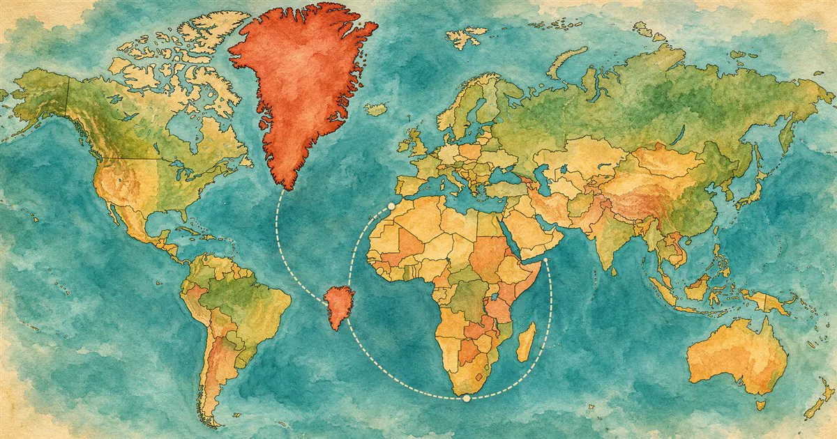
True size of countries
Drag a country across the map and see its true size next to others.
Open the map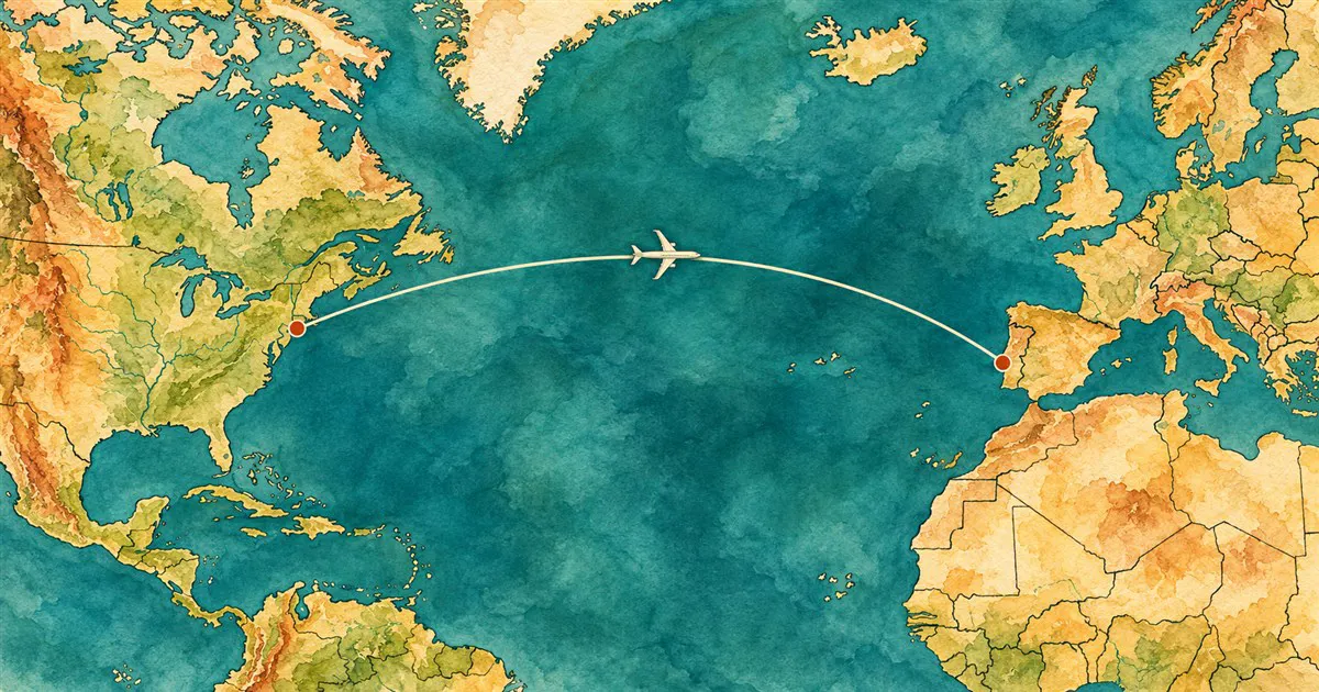
Distance between cities
Measure the distance between two cities and see the shortest path over the Earth.
Open the map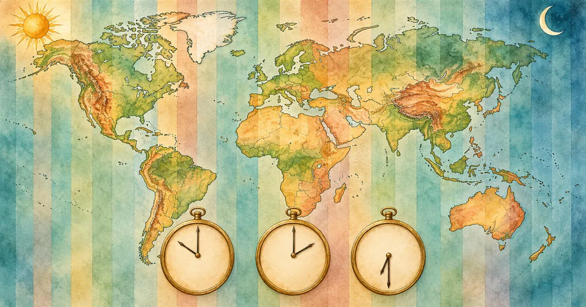
Time zones
What time it is around the world and the difference from your city.
Open the map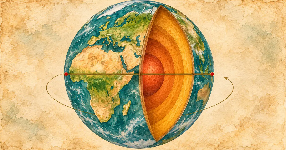
Antipode
What lies on the opposite side of the Earth from any point.
Open the map
Land relief
Mountains, peaks and the ups and downs of a trip.
Coming soon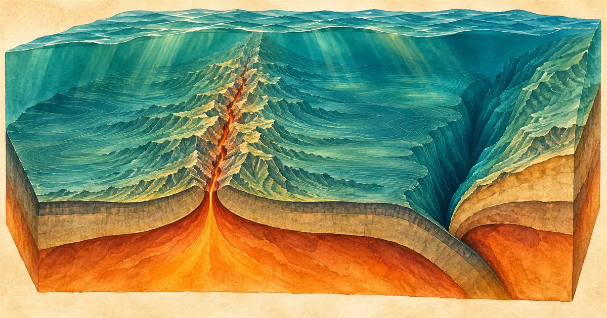
Ocean floor
Trenches, tectonic plates and Point Nemo.
Coming soon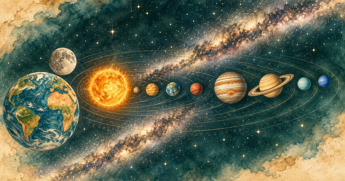
Beyond Earth
The Moon, the Solar System and the Milky Way.
Coming soon