Brazil
 Argentina
 Chile
Chile Colombia
 Peru
Peru Germany
 Belgium
 Spain
Spain France
 Greece
 the Netherlands
 Ireland
 Italy
Italy Portugal
 the United Kingdom
 Switzerland
0 routes
Routes
Tourist journeys linking cities and destinations. Each route has a map, legs, how many days and the best time to go.
See the routes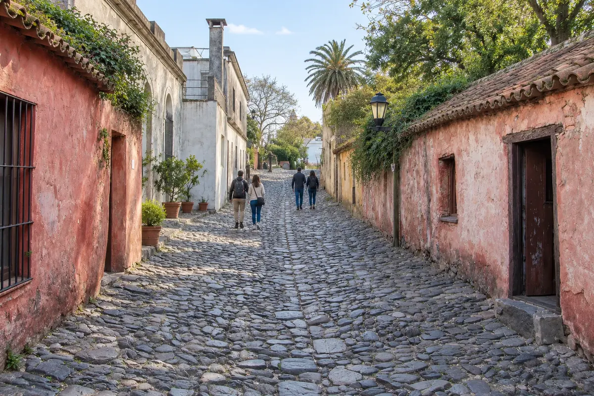
Routes, destinations and cities in Uruguay, with things to do, when to go and how to get there.
6 destinations 6 departments 11 cities
Across Cidade Turismo: 7 countries · 51 routes · 151 destinations · 592 cities
In the photo: Calle de los Suspiros — Colônia do Sacramento
Illustrative images. The pictures in this guide are illustrations based on the real place, not photographs, and may differ from it.

The guide
Cidade Turismo is a travel guide built city by city, now also in Uruguay. For each place you'll find things to do, attractions with their own page, when to go and how to get there.
The guide has three ways in, so you can start wherever you like: routes, which link towns along one journey; destinations, which are the tourist regions; and the departments, with the main cities in each one.
The texts are written from official tourism sources, such as national and regional tourism offices, national parks and city halls, and new cities and routes keep being added to the guide.
About Cidade Turismo: who we are and how the guide is made →
0 routes
Tourist journeys linking cities and destinations. Each route has a map, legs, how many days and the best time to go.
See the routes6 destinations
The tourist regions in Uruguay, each with its towns: things to do, when to go and how to get there.
See the destinations11 cities in 6 departments
The guide by department: each one with its destinations, cities and routes, and each city with its attractions.
See departments and citiesThe map
Tap a region to see the names. Use two fingers to zoom in.
Contornos: Servicio Geográfico Militar / IDE Uruguay, Licença de Dados Abertos. Adaptação do Cidade Turismo.
Where to start
Six cities from the guide, changing every day.
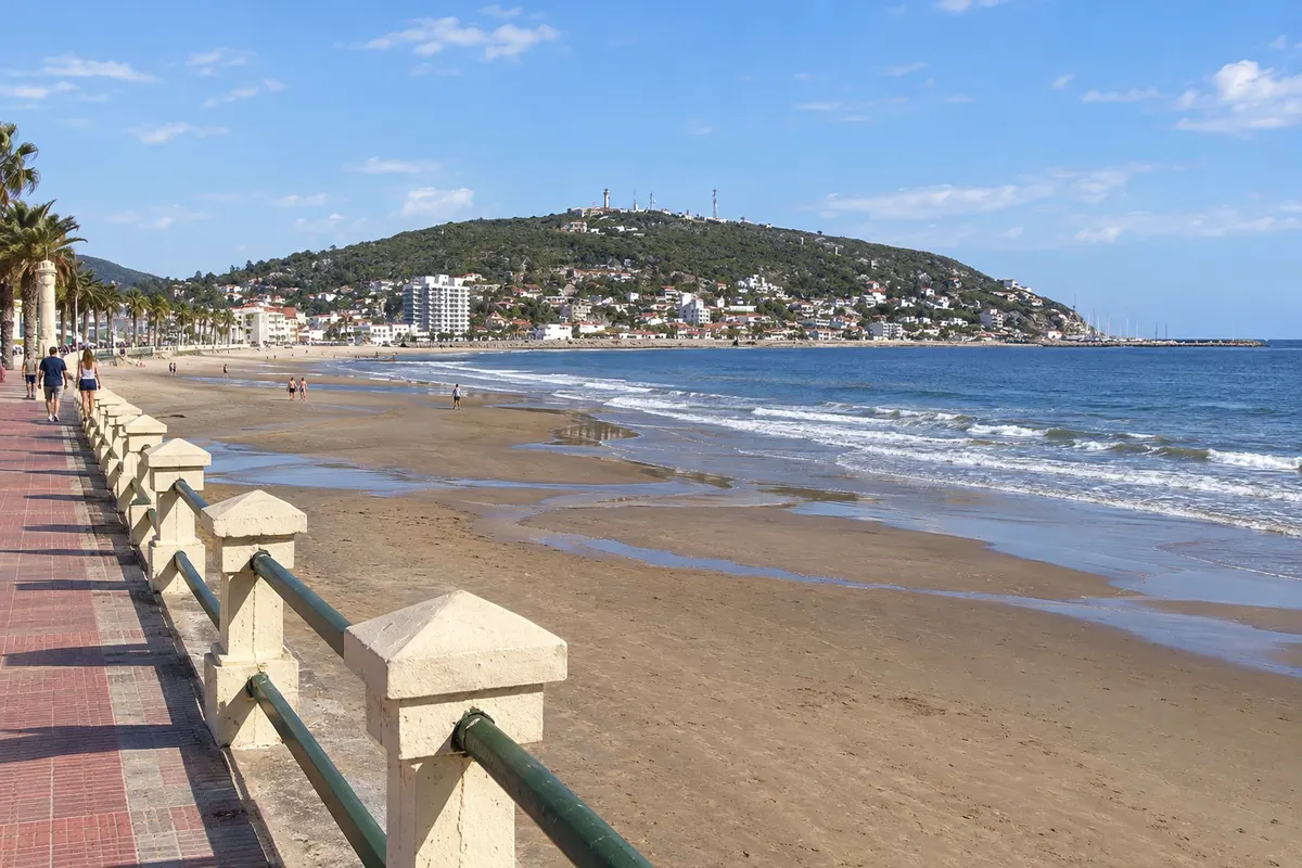
Piriápolis is a seaside resort founded by Francisco Piria from 1890, older than Punta del Este, about 98 km east of Montevideo. Life revolves around the Rambla de los Argentinos and the Argentino Hotel, dating from 1930. Cerro San Antonio and Cerro del Toro overlook the bay. To the north, at the foot of Cerro Pan de Azúcar, are Castillo de Piria and the Estación de Cría de Fauna Autóctona.
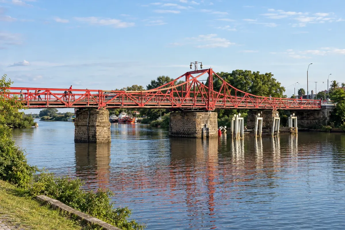
Carmelo lies near the mouth of the Arroyo de las Vacas on the Río de la Plata, 75 km from Colônia do Sacramento along Ruta 21. Founded by Artigas in 1816, it has the Puente Giratorio, from 1912, operated by human power, and the Plaza Independencia with the church of Nuestra Señora del Carmen. Around it are the Jesuit ruins of the Calera de las Huérfanas and wineries that receive visitors, such as Zubizarreta, Narbona and El Legado.
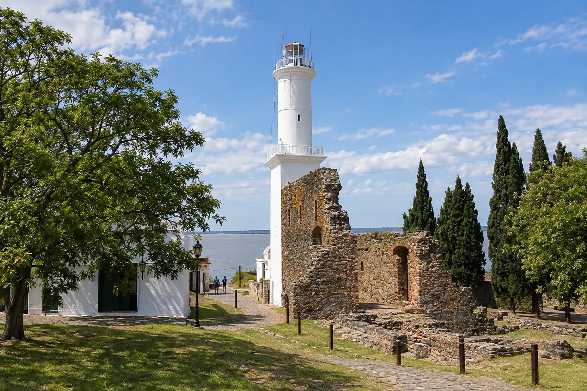
Capital of the department of Colonia, the city lies on the north bank of the Rio da Prata, opposite Buenos Aires, and was founded by the Portuguese in 1680. The Barrio Histórico, a UNESCO World Heritage Site, includes the Portón de Campo, the Calle de los Suspiros, the Faro, the Basílica del Santísimo Sacramento and the Museo de Colonia sites. About 5 km to the north, the Plaza de Toros Real de San Carlos, from 1910, has become a cultural center.
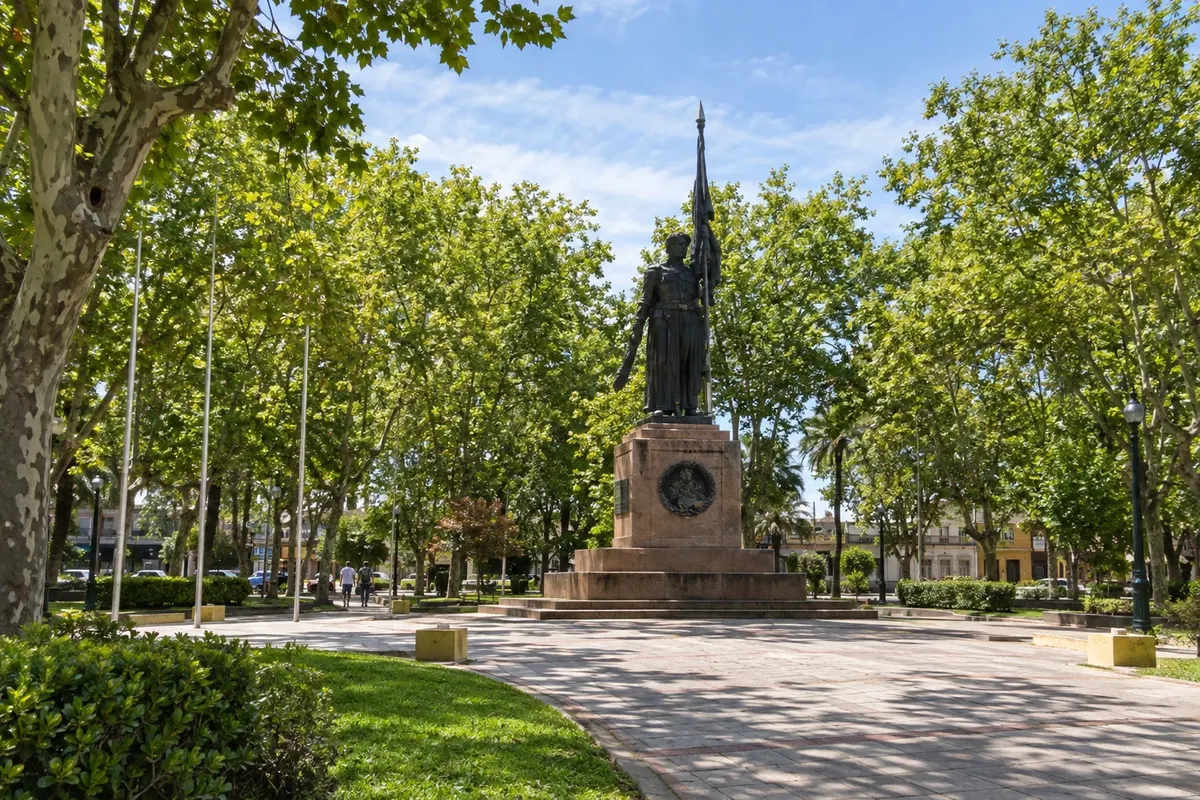
Canelones, the capital of the department of the same name, is about 45 to 50 km from Montevidéu via Ruta 5. Founded in 1783 as Villa de Nuestra Señora de Guadalupe, it was where the first national flag was created, commemorated by the Monumento a la Bandera in Plaza 18 de Julio next to the cathedral. Around it, toward Montevidéu, are wineries such as Juanicó, Pizzorno, Castillo Viejo, Varela Zarranz, Antigua Bodega, Bouza and Carrau.
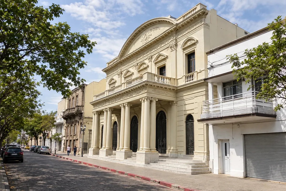
Salto, the department capital, is on the bank of the rio Uruguai, opposite Concordia in Argentina. Ten kilometres away are the Termas del Daymán and the Acuamanía waterpark; about 90 km away are the Termas del Arapey. To the north, the Represa de Salto Grande offers guided visits. Downtown are the Catedral, Plaza Artigas and Teatro Larrañaga; near the river are the Muelle Negro, Salto Chico and Casa Horacio Quiroga.
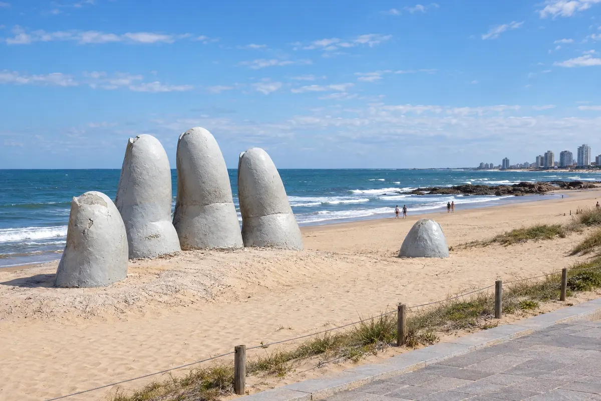
Punta del Este sits on a peninsula between Playa Mansa, facing the bay, and Playa Brava, open to the Atlantic, where La Mano is located. On the peninsula are the harbor with sea lions, the 1860 lighthouse, and Plaza Artigas, which hosts a craft market. Boats depart from the harbor to Isla Gorriti and on trips to Isla de Lobos. Nearby are Casapueblo and the Arboretum Lussich in Punta Ballena, the wavy bridge at La Barra, the Museo Ralli and the MACA.

Traveler area
The app
Save the destinations you want to visit, send your travel photos and get the guide's news.
FAQ
A travel guide to Uruguay organized into routes, destinations, departments and cities. Each city has things to do, attractions, when to go and how to get there.
A route is a journey linking several towns. A destination is a tourist region with its towns. A city is the place itself, with its attractions.
They are illustrations based on the real place, not photographs, and may differ from it. Photos sent by travelers are shown separately, as travelers' photos.
Type the name in the search box: it can be a route, destination, department, city or attraction. Or start from Routes, Destinations or Departments and cities in the menu.
Yes. Destinations already translated are available in Spanish and English at cidadeturismo.com, and the rest are being added.
Yes, for Android, on Google Play. With it you can save the destinations you want to visit and get the guide's news.