Costa de Rocha

Rocha · Uruguay

Costa de Rocha

Atlantic coast of the department of Rocha, with the lighthouse of La Paloma, the car-free village of Cabo Polonio and Punta del Diablo, near Chuí and two colonial fortresses.

Costa Leste

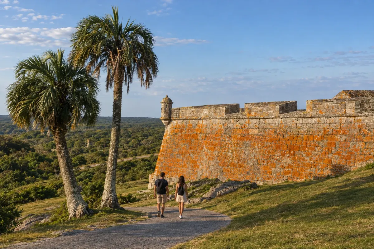
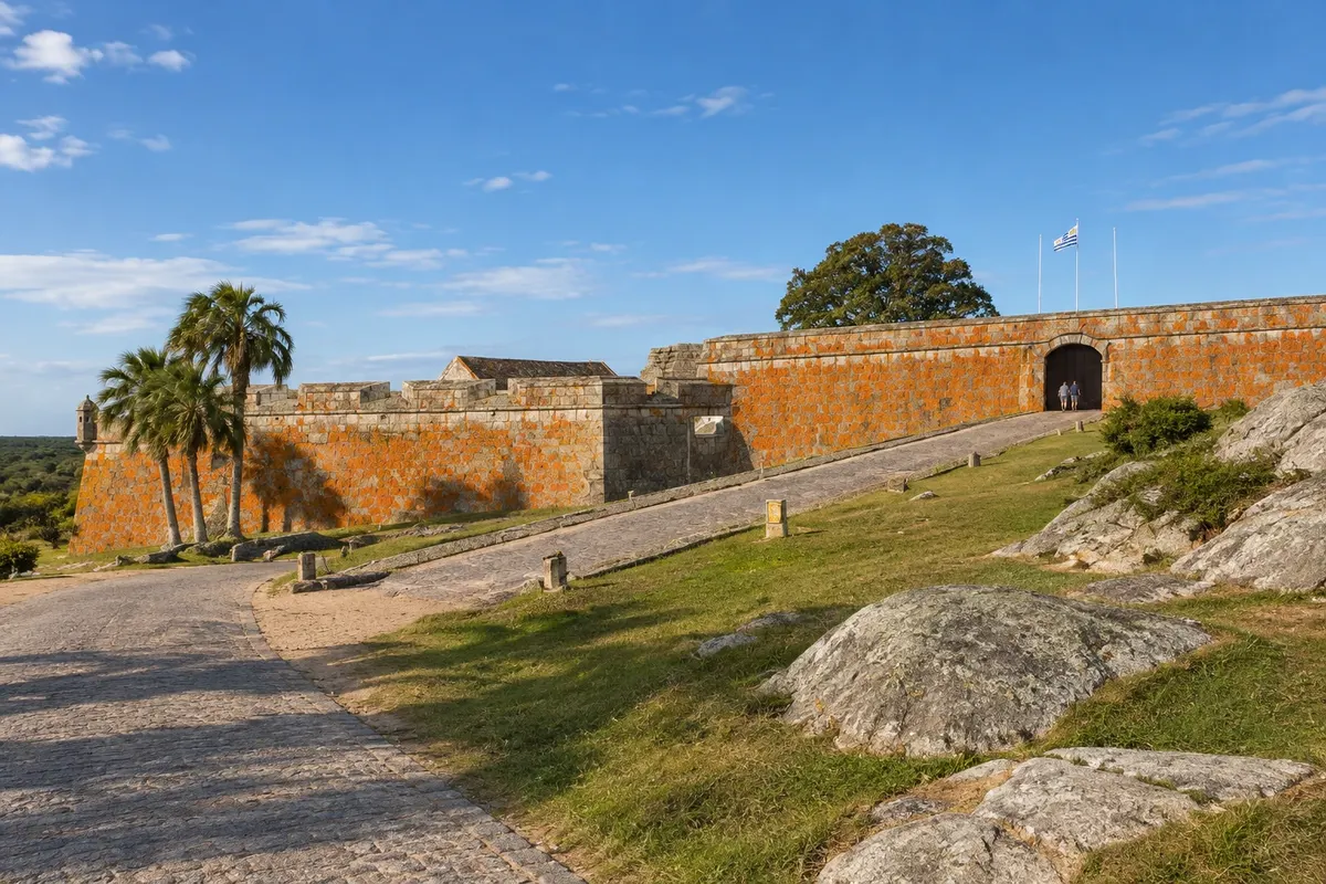
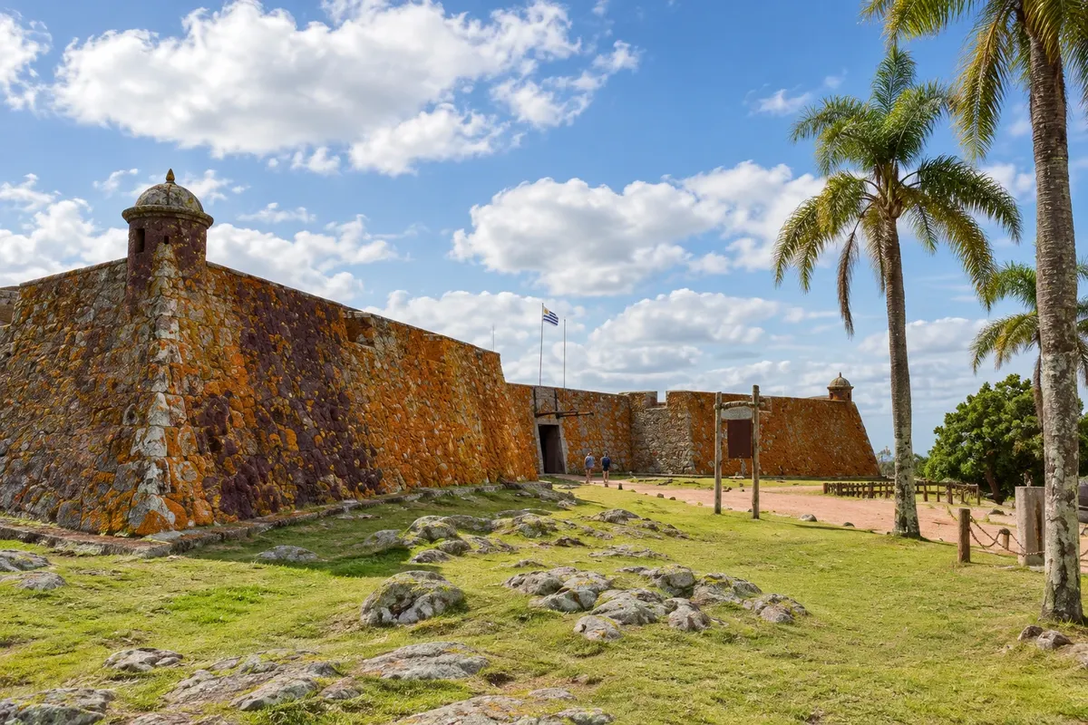
In the photo: Fortaleza de Santa Teresa, Rocha

Illustrative images. The pictures in this guide are illustrations based on the real place, not photographs, and may differ from it.

Get it on Google Play Send your photos

Get to know the place

A region to enjoy
at your own pace.

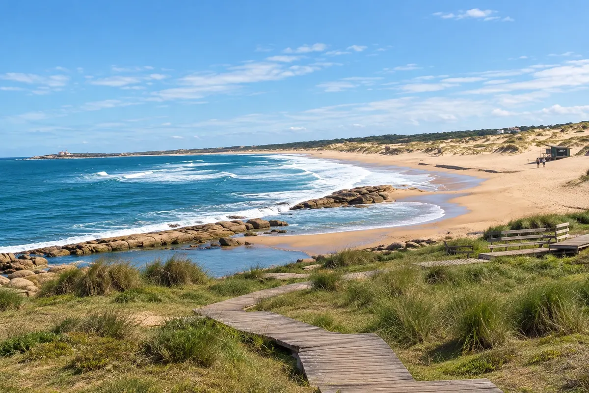
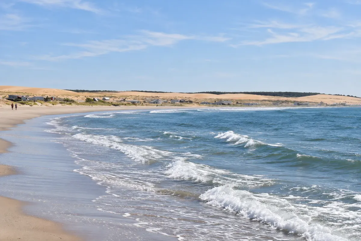
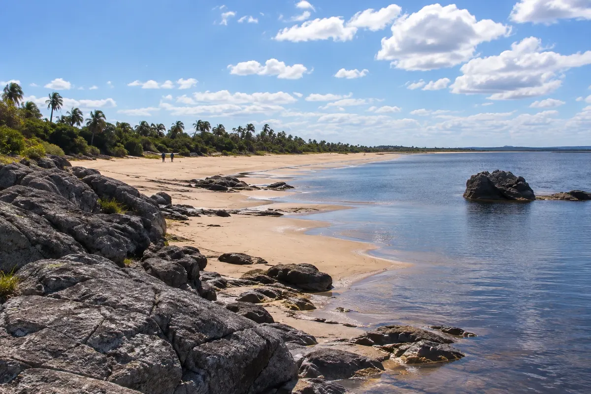
The Costa de Rocha occupies the Atlantic coastline of the department of Rocha, in eastern Uruguay, between Laguna Garzón and the Chuí border. It has more than 180 km of ocean beaches, interspersed with coastal lagoons, dunes and small fishing villages.

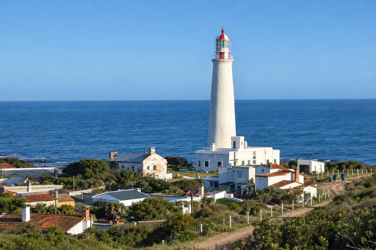
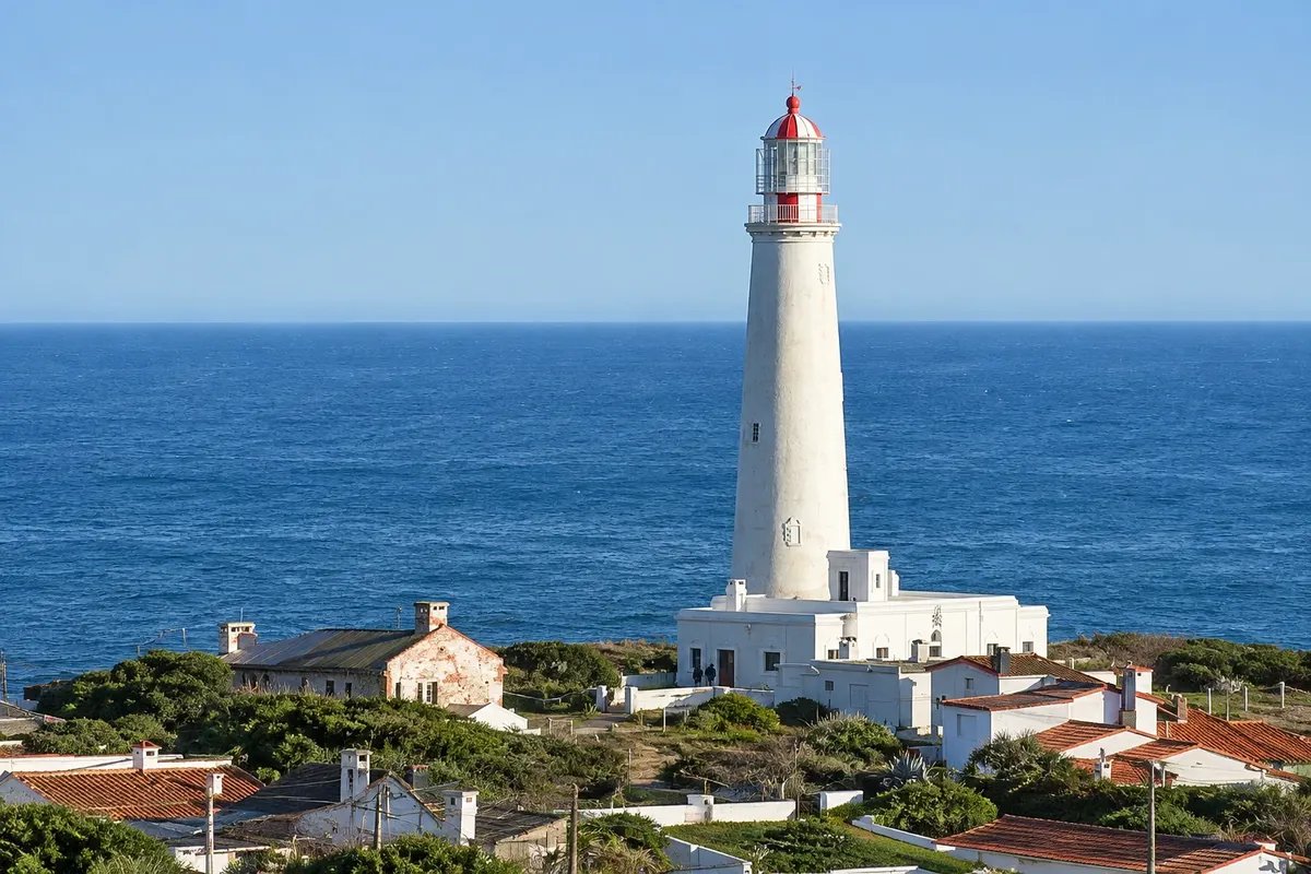
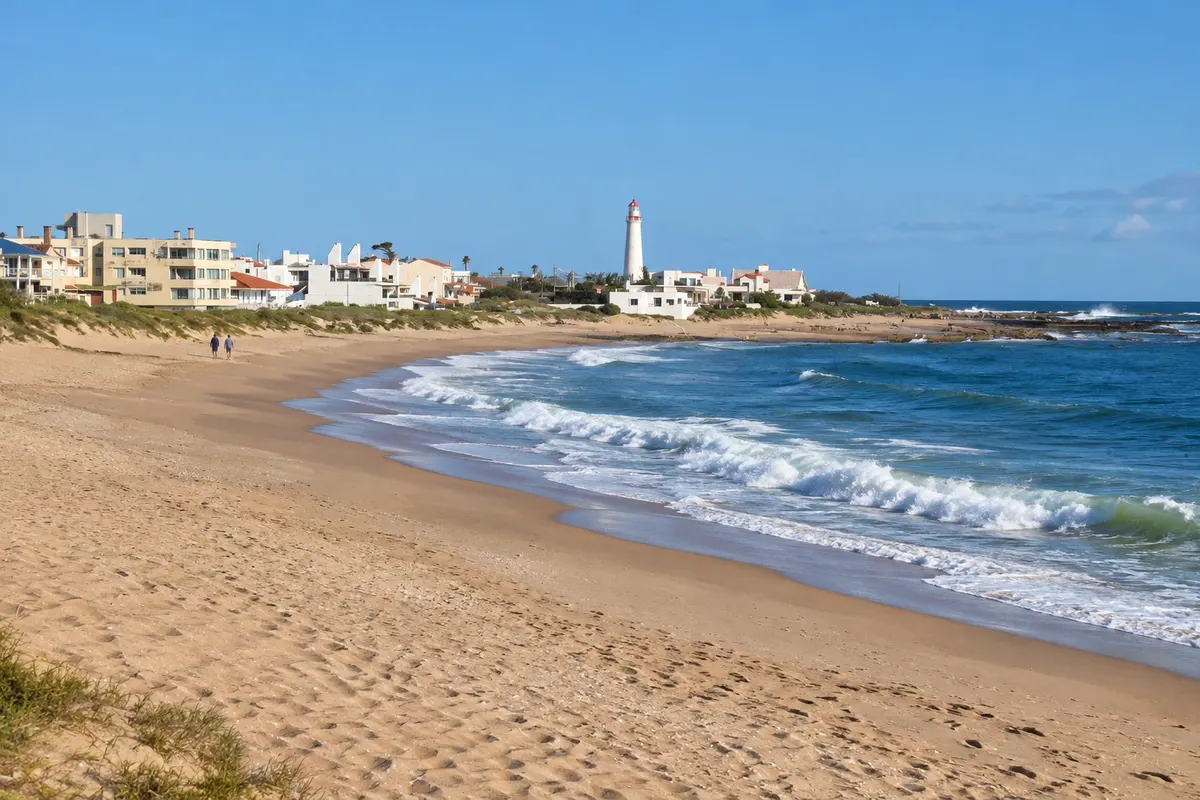
La Paloma, on Cabo Santa María, is the most developed town on the coast. It grew up around the lighthouse lit in 1874 and has beaches for every taste, from calm coves to surf stretches. Next to it is Laguna de Rocha, a protected area with more than 220 bird species.

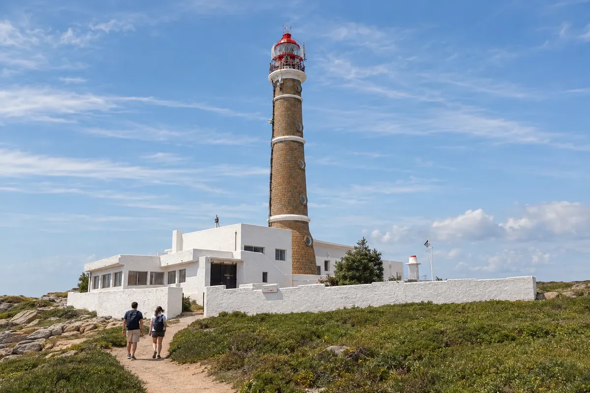
Further north, Cabo Polonio is a village inside a national park, without an electrical grid and no access for private cars: you enter in authorized vehicles that cross the dunes. On the cape, at the foot of the 1881 lighthouse, there is a colony of sea lions.

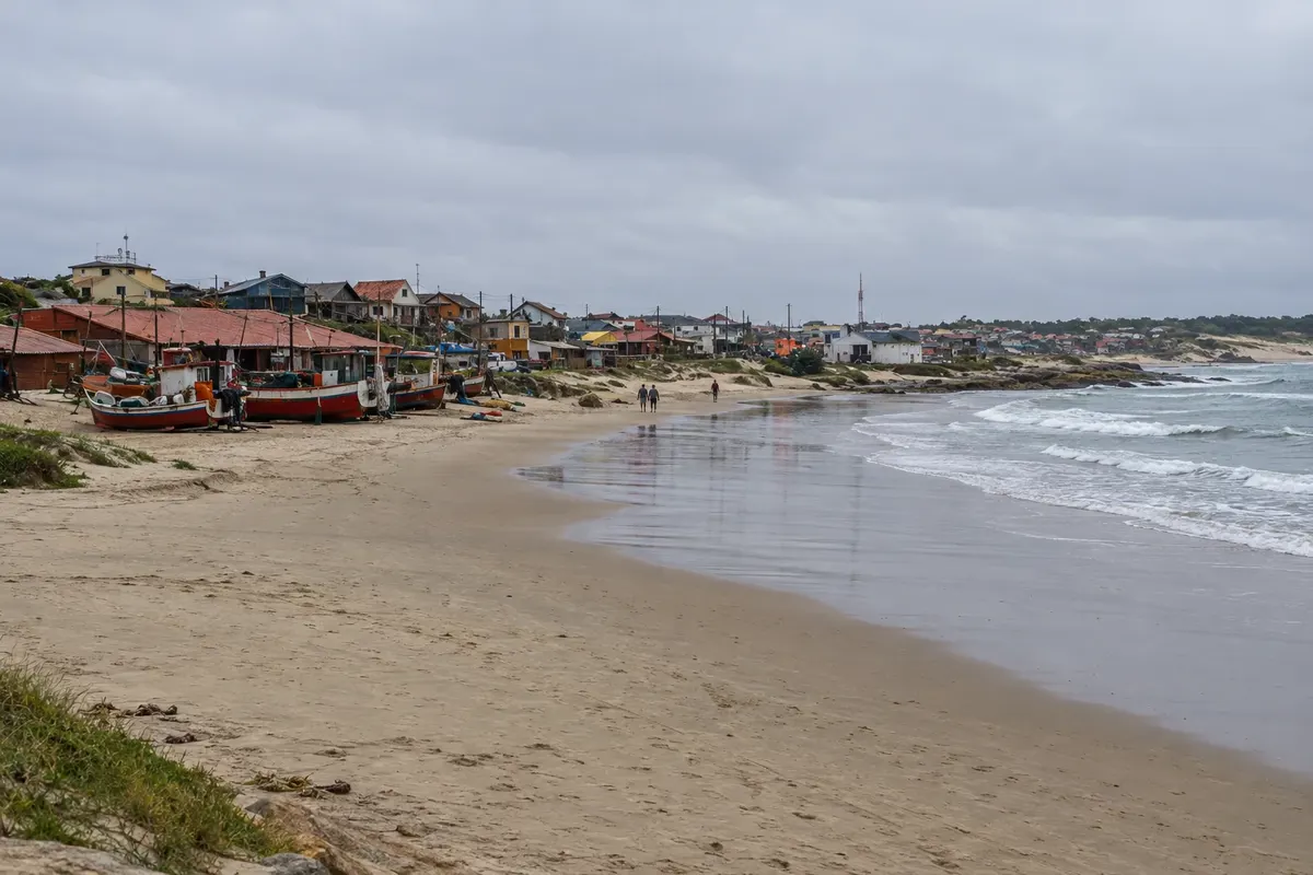
Punta del Diablo, 42 km from Chuí, began as a shark-fishing village and today combines ranchos, surf beaches and a craft fair. Nearby are Parque Nacional de Santa Teresa, with its 18th-century fortress, Laguna Negra and, near the border, Fuerte de San Miguel.

This destination brings together 3 cities: La Paloma, Cabo Polonio, Punta del Diablo.

Share: WhatsApp
Traveler, share your experiences through photos Up to 5 photos of each place you visited.

One destination, many paths

The cities on this trip

Start with one city or combine several in your itinerary.

Where Costa de Rocha is
La PalomaCabo PolonioPunta del Diablo

Contornos: Servicio Geográfico Militar / IDE Uruguay, Licença de Dados Abertos. Adaptação do Cidade Turismo.

How to get there: Costa de Rocha

✈ Aeropuerto Internacional de Punta del Este Capitán de Corbeta Carlos A. Curbelo (PDP), in Maldonado · 123 km to La Paloma

✈ Aeropuerto Internacional de Carrasco (MVD), in Ciudad de la Costa · 208 km to La Paloma

From Rio Grande do Sul, you enter via Chuí/Chuy and follow Ruta 9: Punta del Diablo is about 42 km from the border and La Paloma about 160 km. From Montevideo, La Paloma is about 240 km away, with buses from Terminal Tres Cruces. Confirm before booking.

Suggested arrival point: La Paloma

The local experience

Things to do in Costa de Rocha

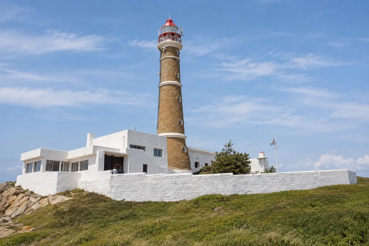
Faro de Cabo Polonio
Cabo Polonio · Rocha · Lighthouse

Faro de Cabo Polonio

Stone lighthouse first lit in 1881 on the rocky tip of Cabo Polonio, a National Historic Monument. From the top, after 132 steps, you can see the village, the dunes, the Torres islands, and the colony of sea lions.

Faro del Cabo Santa María
La Paloma · Rocha · Lighthouse

Faro del Cabo Santa María

30-meter lighthouse lit in 1874 on cabo Santa María, a landmark in the founding of La Paloma. A spiral staircase of 143 steps leads to the balcony, with views over the town and the beaches.

Playa de la Viuda
Punta del Diablo · Rocha · Beach

Playa de la Viuda

Long beach south of the village of Punta del Diablo, popular with surfers for the waves that form offshore. In summer it hosts competitions with athletes from the region.

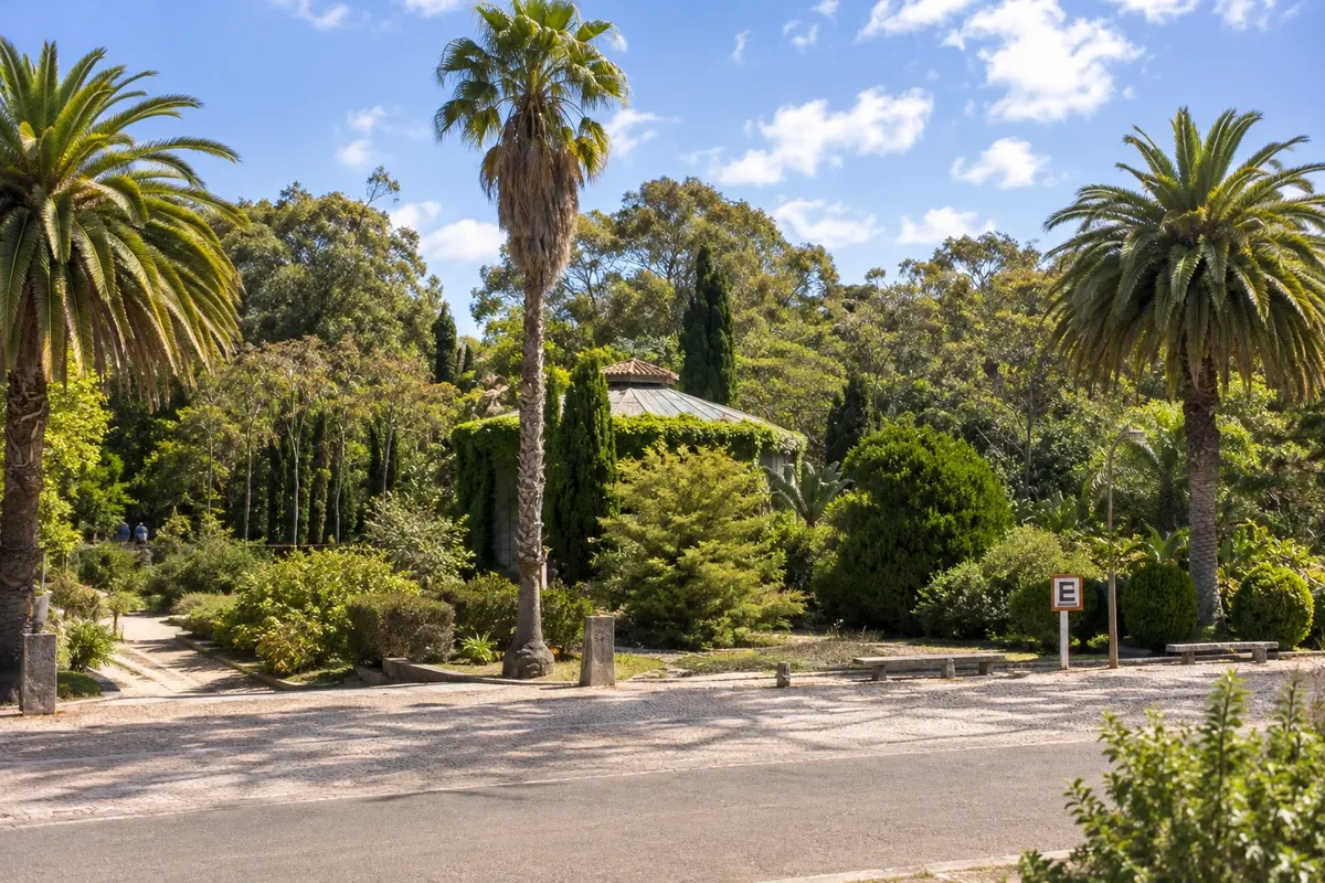
Parque Nacional de Santa Teresa
Punta del Diablo · Rocha · Park

Parque Nacional de Santa Teresa

A 3,000-hectare park on Ruta 9, between Punta del Diablo and La Coronilla, with more than 2 million trees, a greenhouse, rose garden, wildlife refuge, camping and four ocean beaches.

See 7 more places in Costa de Rocha
Playa de la Calavera
Cabo Polonio · Rocha · Beach

Playa de la Calavera

Beach north of the cape of Cabo Polonio, back-to-back with Playa Sur. It stretches for kilometers between the sea and the moving dunes, heading toward Barra de Valizas.

Playa La Balconada
La Paloma · Rocha · Beach

Playa La Balconada

Open-sea beach west of La Paloma's lighthouse, where locals and tourists often gather late in the afternoon to watch the sun set over the sea and applaud.

Fortaleza de Santa Teresa
Punta del Diablo · Rocha · Fort

Fortaleza de Santa Teresa

Stone fortress begun by the Portuguese in 1762 and completed by the Spanish, on a rise beside Ruta 9. Restored in the 20th century, it now operates as a museum within the national park.

Laguna de Rocha
La Paloma · Rocha · Lagoon

Laguna de Rocha

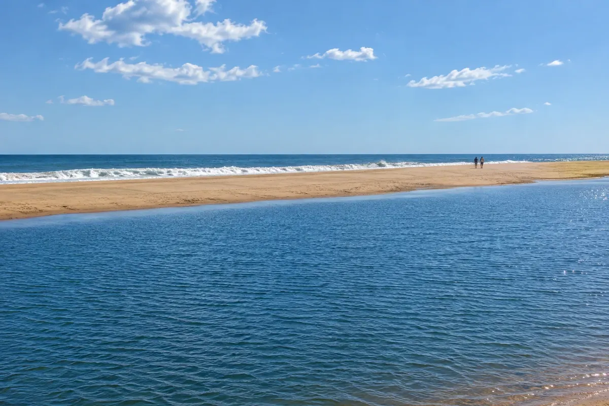
Shallow coastal lagoon separated from the sea by a sandbar, a protected area with more than 220 bird species, black-necked swans and flamingos, a few kilometers from La Paloma.

Monte de Ombúes
Cabo Polonio · Rocha · Nature reserve

Monte de Ombúes

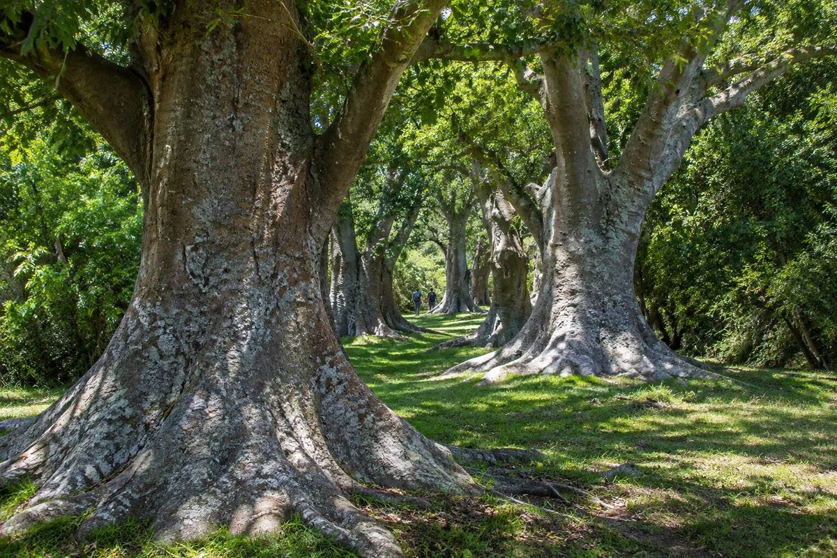
Largest grouping of ombu trees in the Río de la Plata region, along a stretch of about 20 km on the shores of the Laguna de Castillos. The visit is guided, with arrival by boat via the Arroyo Valizas or on foot.

Fuerte de San Miguel
Punta del Diablo · Rocha · Fort

Fuerte de San Miguel

Colonial fort of pink granite stone atop Cerro de San Miguel, 7 km from Chuí, with a drawbridge and the Military History Museum. Next to it, Cerro Picudo has a marked trail to the summit.

Laguna Negra
Punta del Diablo · Rocha · Lagoon

Laguna Negra

Large dark freshwater lagoon west of the Parque Nacional de Santa Teresa, a protected area with small calm-water beaches, native forest, rocky hills and many birds.

Before you go

Practical information

A little planning leaves more time to enjoy the journey.

When to go

Summer, from December to March, is the season: the villages fill up, especially in January, and businesses are more active. Spring and autumn are calm with mild weather. From June to August it's cold and very windy. Southern right whales typically appear off the coast between July and October.

The seasons shown are the most usual ones; nature doesn't always follow the calendar.

How many days to stay

Four or five days allow you to split the trip among La Paloma, Cabo Polonio and Punta del Diablo, with an afternoon for the fortresses. With three days, pick two bases. Cabo Polonio requires at least a full day because of the dune crossing.

Which city to stay in

La Paloma has the largest range of services year-round, with accommodation in the center, near the lighthouse, and in the beach neighborhoods La Aguada and Costa Azul. La Pedrera, next door, is quieter. In Cabo Polonio there are inns and simple houses, without electricity. Punta del Diablo has cabins scattered among the beaches; the campground and cabins of Parque Nacional de Santa Teresa are another option, with advance reservation.

Respect the place

Take your trash with you, follow the signs and support local businesses. In natural areas, follow the visiting guidelines.

Get your questions answered

Frequently asked questions about Costa de Rocha

How many days to allow for the Costa de Rocha?

Four or five days are ideal to see La Paloma, Cabo Polonio and Punta del Diablo without rushing. With two or three days, choose one base and one excursion: La Paloma with Cabo Polonio, or Punta del Diablo with Santa Teresa.

What's the best time to go?

From December to March is the beach season, with more activity in January. Outside summer, the villages are quiet and some businesses close. From June to August the winter is cold and windy. Between July and October southern right whales often pass along the coast.

Do you need a car in the Costa de Rocha?

A car helps, because the towns are far apart and the lagoons and fortresses are outside them. There are regional buses along Ruta 9 and Ruta 10. In Cabo Polonio, the car does not enter: it stays in the parking lot at Puerta del Polonio on Ruta 10.

Can you do a day trip from Montevideo?

It's not ideal. La Paloma is about 240 km from the capital, more than three hours by bus, and Punta del Diablo even farther. For those coming from Rio Grande do Sul, a day trip makes more sense starting from Chuí to Punta del Diablo and Santa Teresa.

Explore other destinations Search by state and city
Back