Brazil
 Argentina
 Bolivia
 Chile
Chile Colombia
 Ecuador
 Guyana
 French Guiana
 Falkland Islands (Malvinas)
 Paraguay
 Peru
Peru Suriname
 Uruguay
 Germany
 Belgium
 Spain
Spain France
 Greece
 the Netherlands
 Ireland
 Italy
Italy Luxembourg
 Portugal
 the United Kingdom
 Switzerland
0 routes
Routes
Tourist journeys linking cities and destinations. Each route has a map, legs, how many days and the best time to go.
See the routes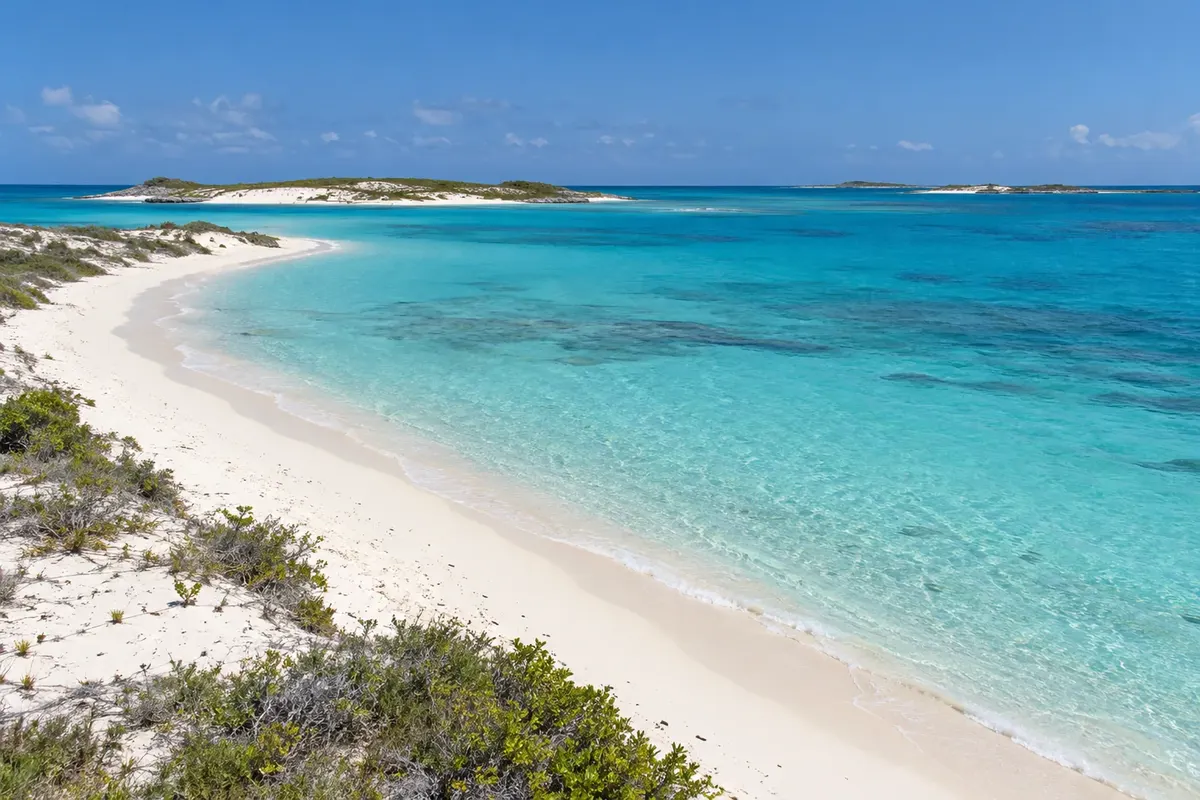
Routes, destinations and cities in Venezuela, with things to do, when to go and how to get there.
7 destinations 7 states 9 cities
Across Cidade Turismo: 26 countries · 78 routes · 312 destinations · 924 cities
In the photo: Arquipélago de Los Roques — Los Roques
Illustrative images. The pictures in this guide are illustrations based on the real place, not photographs, and may differ from it.

The guide
Cidade Turismo is a travel guide built city by city, now also in Venezuela. For each place you'll find things to do, attractions with their own page, when to go and how to get there.
The guide has three ways in, so you can start wherever you like: routes, which link towns along one journey; destinations, which are the tourist regions; and the states, with the main cities in each one.
The texts are written from official tourism sources, such as national and regional tourism offices, national parks and city halls, and new cities and routes keep being added to the guide.
About Cidade Turismo: who we are and how the guide is made →
0 routes
Tourist journeys linking cities and destinations. Each route has a map, legs, how many days and the best time to go.
See the routes7 destinations
The tourist regions in Venezuela, each with its towns: things to do, when to go and how to get there.
See the destinations9 cities in 7 states
The guide by state: each one with its destinations, cities and routes, and each city with its attractions.
See states and citiesThe map
Tap a region to see the names. Use two fingers to zoom in.
Contornos: INE da Venezuela e OCHA, via geoBoundaries (CC BY 3.0 IGO). Adaptação do Cidade Turismo.
Where to start
Six cities from the guide, changing every day.
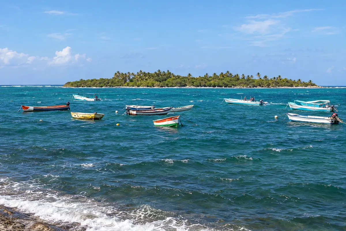
Chichiriviche is a fishing town on the northern side of Parque Nacional Morrocoy, about 36 km from Tucacas. From its piers boats depart to the northern cays such as Cayo Sal and Cayo Muerto, just minutes from the shore, and to the Refúgio de Fauna Silvestre de Cuare, with mangroves, flamingos and the Cueva de la Virgen. It is quieter than Tucacas.
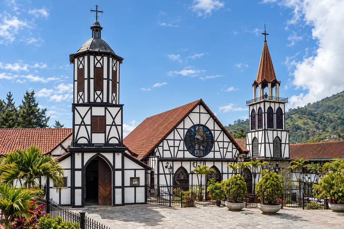
Village in the mountain range of the Cordillera de la Costa, at about 1,800 meters, founded in 1843 by immigrants from the Kaiserstuhl region in southwestern Germany. The white half-timbered houses with dark beams, the Iglesia San Martín de Tours, the sausages, the beer and strawberries with cream make it the weekend trip for people from Caracas. It is about 60 km from Caracas.
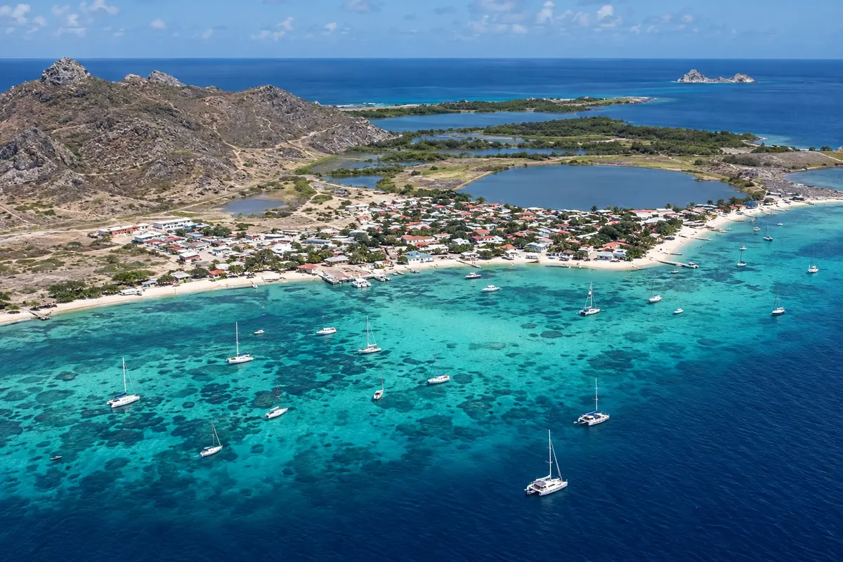
The only village of the Los Roques archipelago and the capital of the Federal Dependencies, on an island of about 3 km with rocky hills on the north side and a beach on the south side. The streets are sandy, the colorful houses have become guesthouses and there are no cars circulating. The runway is by the beach, and boats to the cays depart from the pier. On top of the hill is the Faro Holandés.
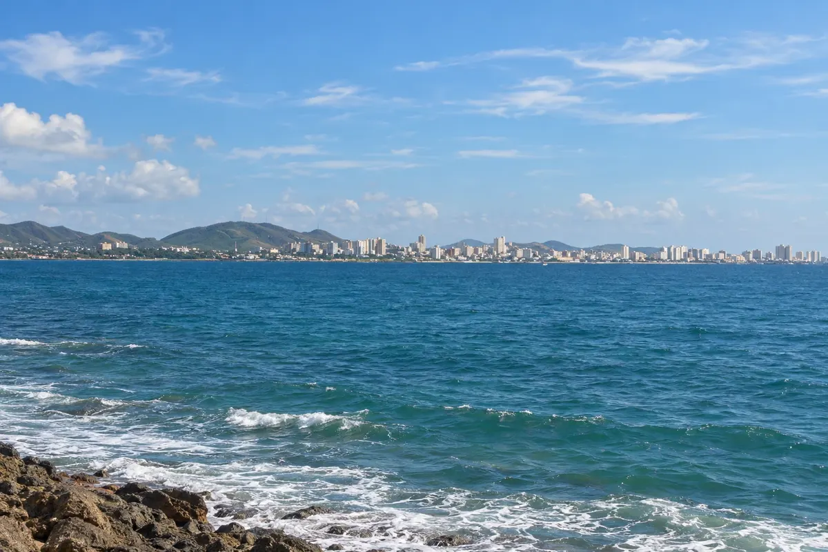
The largest city of Ilha Margarita, on the south coast, founded in 1536. It is the island's commercial center, with the port, shopping avenues, hotels, restaurants and the Bella Vista waterfront. It serves as a base for touring the island: the Basílica da Virgem do Vale is 5 km away, the Castillo de Santa Rosa 12 km, and Playa El Agua, Juan Griego and La Restinga are less than an hour's drive.
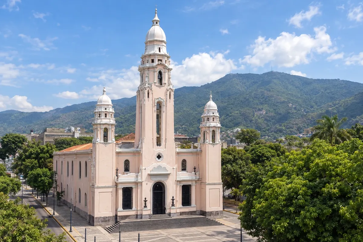
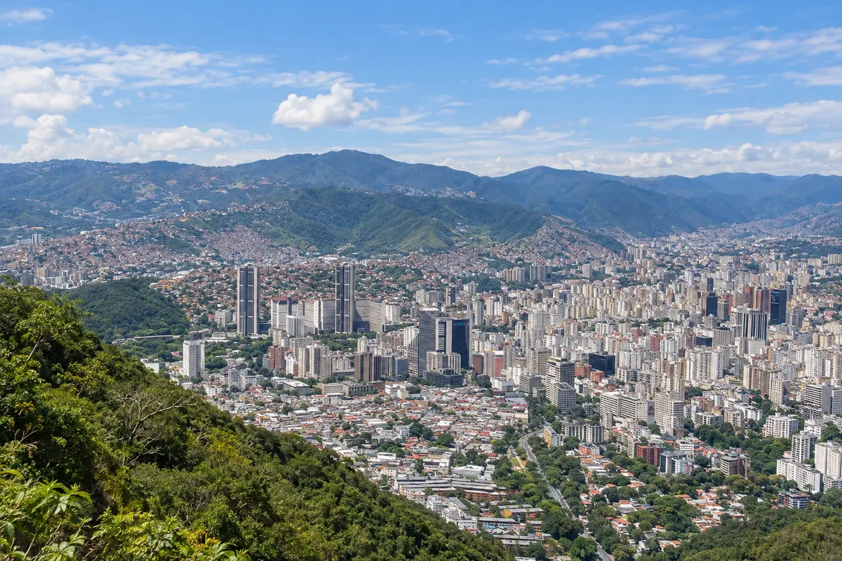
Caracas, the capital of Venezuela, stretches across a valley about 900 meters high at the foot of the Ávila mountain. The colonial center revolves around Plaza Bolívar, with the Cathedral, the Libertador’s Birthplace and the Panteón Nacional. To the east are the Ciudad Universitaria de Villanueva, a World Heritage Site, the Plaza de los Museos and the neighborhoods of hotels and restaurants. The Warairarepano cable car climbs to the top of the Ávila, over 2,000 meters high.
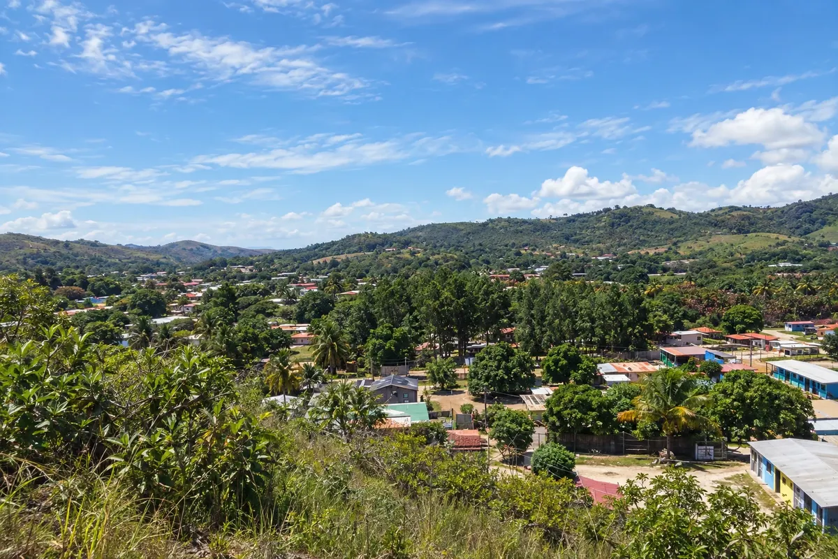
Santa Elena de Uairén is the town of the Gran Sabana, in the south of the state of Bolívar, a few kilometers from Pacaraima on the border with Roraima. It was founded in 1923 and is named after the founder’s daughter and the Uairén River, which crosses the town. It is the base for the waterfalls on Troncal 10, such as Quebrada de Jaspe, Quebrada Pacheco and Salto Kamá, for Salto Aponwao and for the ascent to Monte Roraima.

Traveler area
The app
Save the destinations you want to visit, send your travel photos and get the guide's news.
FAQ
A travel guide to Venezuela organized into routes, destinations, states and cities. Each city has things to do, attractions, when to go and how to get there.
A route is a journey linking several towns. A destination is a tourist region with its towns. A city is the place itself, with its attractions.
They are illustrations based on the real place, not photographs, and may differ from it. Photos sent by travelers are shown separately, as travelers' photos.
Type the name in the search box: it can be a route, destination, state, city or attraction. Or start from Routes, Destinations or States and cities in the menu.
Yes. Destinations already translated are available in Spanish and English at cidadeturismo.com, and the rest are being added.
Yes, for Android, on Google Play. With it you can save the destinations you want to visit and get the guide's news.