Mérida and the Andes

Mérida · Venezuela

Mérida and the Andes

The university city of the Venezuelan Andes, at 1,600 meters, with the Mukumbarí cable car rising to 4,765 meters, the mountain villages of Jají and Los Nevados and the páramo lagoons, such as Mucubají.

Andes

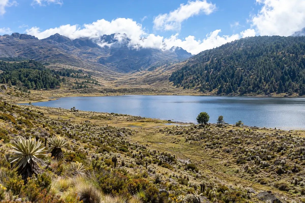
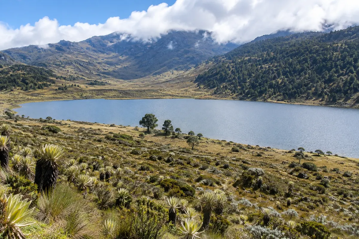
In the photo: Laguna de Mucubají

Illustrative images. The pictures in this guide are illustrations based on the real place, not photographs, and may differ from it.

Get it on Google Play Send your photos

Get to know the place

A region to enjoy
at your own pace.

Mérida sits on a narrow plateau between two ranges of the Venezuelan Andes, at about 1,600 meters above sea level, with the snow-capped peaks of the Sierra Nevada in view. Founded in 1558, it is home to the Universidad de Los Andes, one of the country's oldest universities, and is therefore full of students, cafés, bookstores and lively streets. The climate is cool year-round, with days around 22 °C and cold nights.

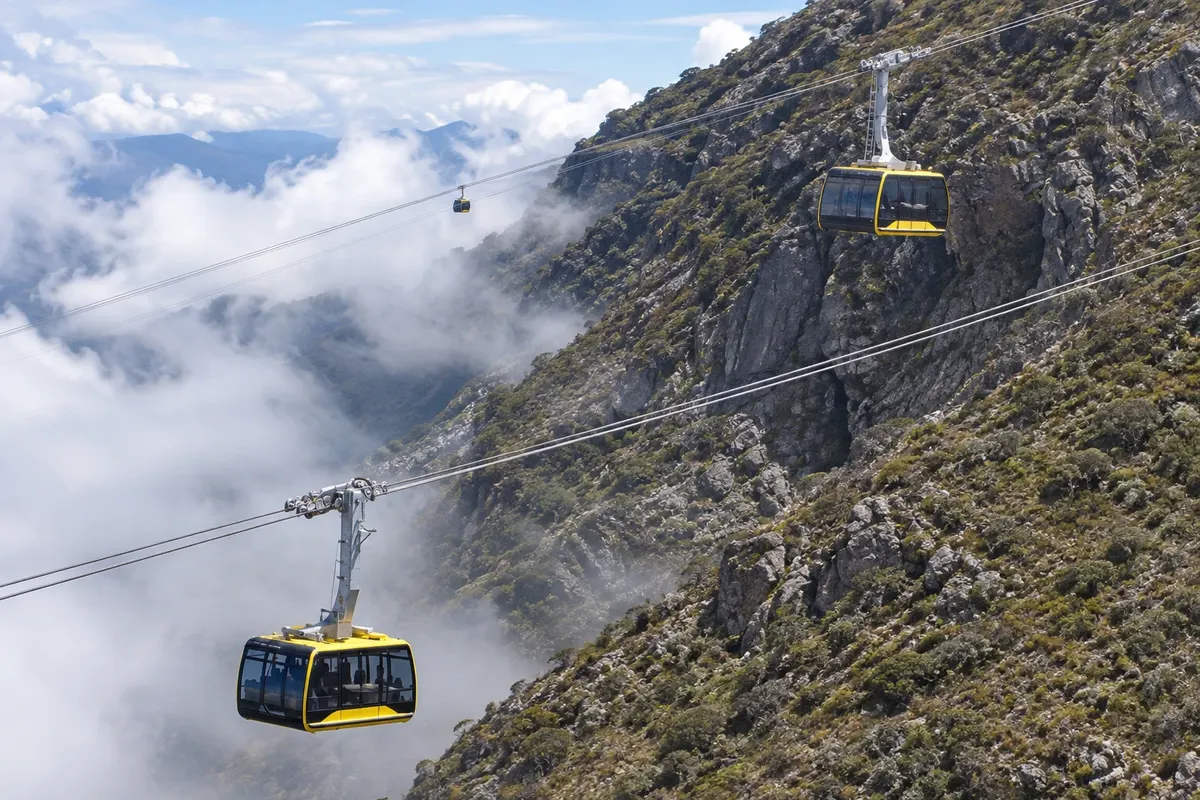
In the center, the Plaza Bolívar and the Cathedral define the colonial grid, and the Mercado Principal brings together handicrafts, sweets and Andean food. From Plaza Las Heroínas departs the Mukumbarí, the cable car that climbs in five stations to Pico Espejo, at 4,765 meters above sea level, beside Pico Bolívar, the highest point in Venezuela at about 4,978 meters. The trip crosses the cloud forest and the páramo, the high-altitude vegetation of the frailejones, up to the rocks and ice at the top.

Around the city, roads climb to mountain villages. Jají, to the west, is a village of white houses and wooden balconies around a square. Los Nevados, above 2,700 meters, is only reached by dirt road or on foot from one of the cable car stations. To the east, the trans-Andean road passes through Mucuchíes and Apartaderos to Parque Nacional Sierra Nevada, where Laguna de Mucubají lies at about 3,500 meters.

You can reach it by plane to the city's airport or to El Vigía in the valley, or by bus from Caracas, in a long journey along the mountain range.

This destination brings together 1 city: Mérida.

Share: WhatsApp
Traveler, share your experiences through photos Up to 5 photos of each place you visited.

One destination, many paths

The cities on this trip

Start with one city or combine several in your itinerary.

Where Mérida and the Andes is
Mérida

Contornos: INE da Venezuela e OCHA, via geoBoundaries (CC BY 3.0 IGO). Adaptação do Cidade Turismo.

How to get there: Mérida and the Andes

✈ Aeropuerto Alberto Carnevalli (MRD) · 2 km to Mérida

✈ Aeropuerto Internacional Juan Pablo Pérez Alfonzo (VIG), in El Vigía · 70 km to Mérida

Check before purchasing. Domestic flights arrive at Mérida airport, next to the city, or at El Vigía, about 70 km away, depending on the season; confirm beforehand. From Caracas, overnight buses take about 12 hours to reach Mérida terminal.

The local experience

Things to do in Mérida and the Andes

Mukumbarí Sistema Teleférico de Mérida
Mérida · Mérida · Cable car

Mukumbarí Sistema Teleférico de Mérida

The cable car that departs from downtown Mérida, at about 1,600 meters, and climbs in five stations to Pico Espejo at 4,765 meters, beside Pico Bolívar. The trip crosses the cloud forest and the páramo up to the rocks and ice at the summit.

Plaza Bolívar de Mérida
Mérida · Mérida · Plaza

Plaza Bolívar de Mérida

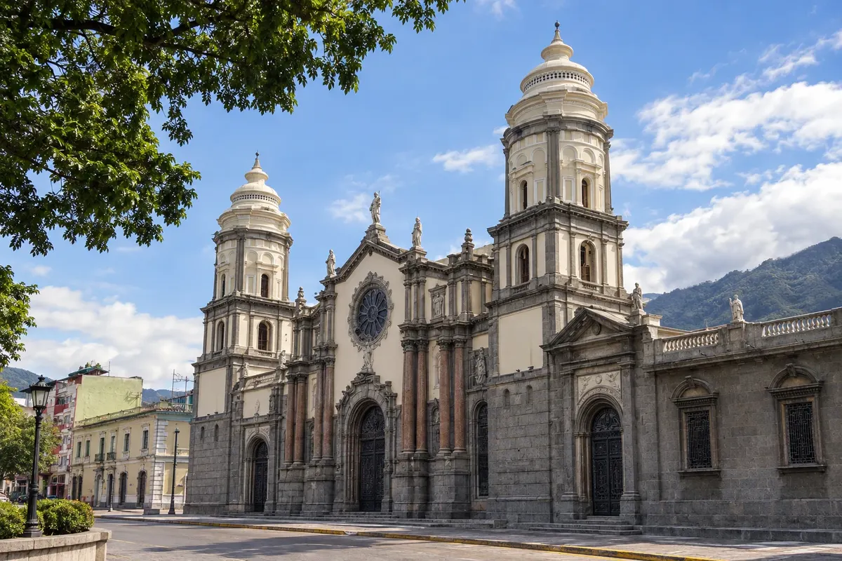
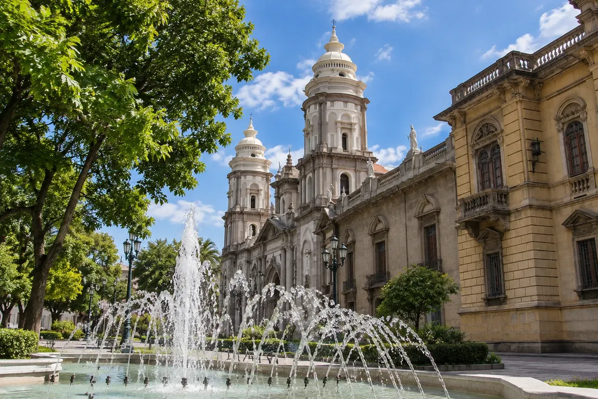
The central praça of Mérida, with the equestrian statue of Bolívar, trees and benches, and the Catedral Basílica da Imaculada Conceição, in a style inspired by the cathedral of Toledo. Beside it, the Palácio Arquiepiscopal houses a museum of sacred art.

Mercado Principal de Mérida
Mérida · Mérida · Market

Mercado Principal de Mérida

Mérida's large market, on three floors: fruits, vegetables and Andean cheeses, glazed sweets called abrillantados, crafts in wool, leather and wood and, on the top floor, typical-food restaurants offering pisca andina and trout.

Jají
Mérida · Mérida · Historic village

Jají

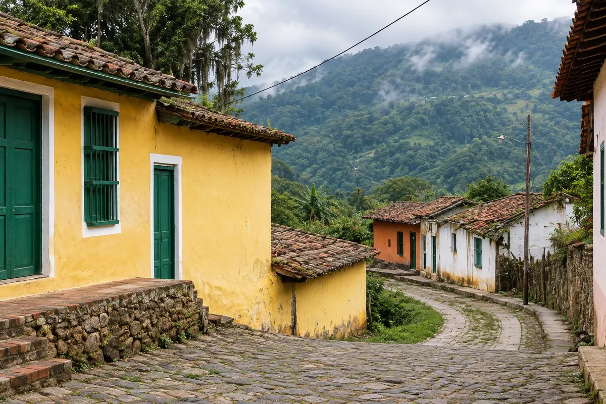
Mountain village about 40 km from Mérida, at almost 1,800 meters, with white houses with wooden verandas, cobblestone streets and a plaza with the church in the background. Craft and sweet shops occupy the houses around the square.

See 2 more places in Mérida and the Andes
Los Nevados
Mérida · Mérida · Historic village

Los Nevados

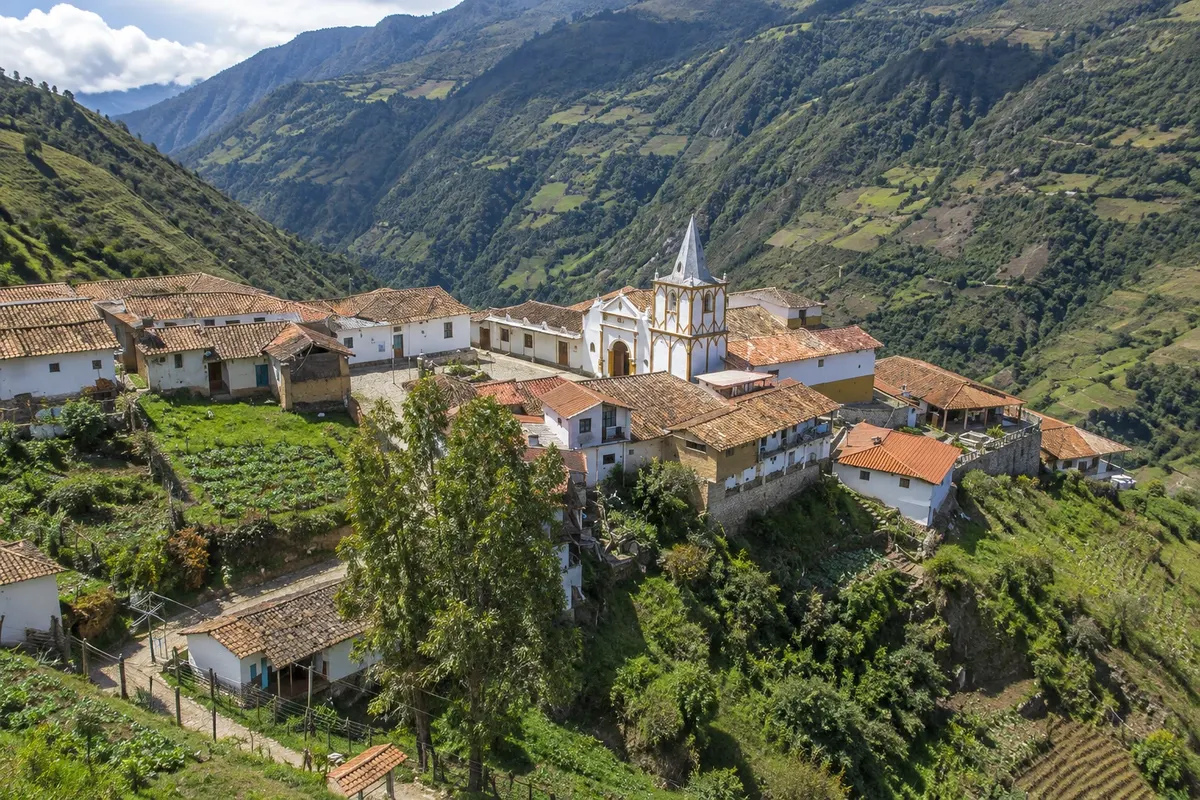
Mountain village in the Sierra Nevada, at over 2,700 meters, with stone and adobe houses around a white church. It's reached by dirt road in a 4x4 jeep or on foot, descending from the Loma Redonda station of the cable car.

Laguna de Mucubají
Mérida · Mérida · Lagoon

Laguna de Mucubají

Glacial lagoon at about 3,500 meters, in Parque Nacional Sierra Nevada, alongside the Trans-Andean road. Around it, the páramo with frailejones and the trail to Laguna Negra, on foot or on horseback.

Before you go

Practical information

A little planning leaves more time to enjoy the journey.

When to go

The dry season runs from December to April, with clearer skies for the cable car and páramo trails. From May to November it rains more, generally in the afternoons, and clouds often cover the peaks. At high elevations, near 4,700 meters, temperatures are usually close to 0 °C in any month. December and Holy Week are the busiest periods.

The seasons shown are the most usual ones; nature doesn't always follow the calendar.

How many days to stay

Three days are enough for the center, the Mukumbarí cable car and a trip along the trans-Andean road to Laguna de Mucubají. With four or five days you can include Jají and a visit to Los Nevados, with an overnight in the village.

Which city to stay in

Downtown Mérida, between Plaza Bolívar and Plaza Las Heroínas, has guesthouses and small hotels near the cable car, cafés and restaurants. Avenida Las Américas and the north of the city have larger hotels. On the trans-Andean road, Mucuchíes and Apartaderos have mountain inns, and in Los Nevados and Jají there are simple lodgings in village houses.

Respect the place

Take your trash with you, follow the signs and support local businesses. In natural areas, follow the visiting guidelines.

Get your questions answered

Frequently asked questions about Mérida and the Andes

What is the altitude of the Mukumbarí cable car?

The lower station is in the city, at about 1,600 meters, and the top one is at Pico Espejo, at 4,765 meters. There are five stations along the way.

How many days to stay in Mérida?

Three days for the center, the cable car and Laguna de Mucubají. Four or five to include Jají and Los Nevados.

Is it cold in Mérida?

The city is cool, with days around 22 °C and cold nights. In the high areas, such as the páramo and the top of the cable car, temperatures usually hover around 0 °C. Bring a jacket, hat and gloves.

How do you get to Mérida?

By plane, to the city's airport or to El Vigía, about 70 km away, depending on the season. By bus, from Caracas, in about 12 hours overnight.

Do I need a car in Mérida?

Not for the center and the cable car. For Mucubají, Jají and the villages along the trans-Andean road, a car with a driver, a taxi or an organized tour make things easier. For Los Nevados, a 4x4 jeep or the hike from the cable car is required.

Explore other destinations Search by state and city
Back