Brazil
 Argentina
 Chile
Chile Colombia
 Ecuador
 Guyana
 French Guiana
 Falkland Islands (Malvinas)
 Paraguay
 Peru
Peru Suriname
 Uruguay
 Germany
 Belgium
 Spain
Spain France
 Greece
 the Netherlands
 Ireland
 Italy
Italy Luxembourg
 Portugal
 the United Kingdom
 Switzerland
0 routes
Routes
Tourist journeys linking cities and destinations. Each route has a map, legs, how many days and the best time to go.
See the routes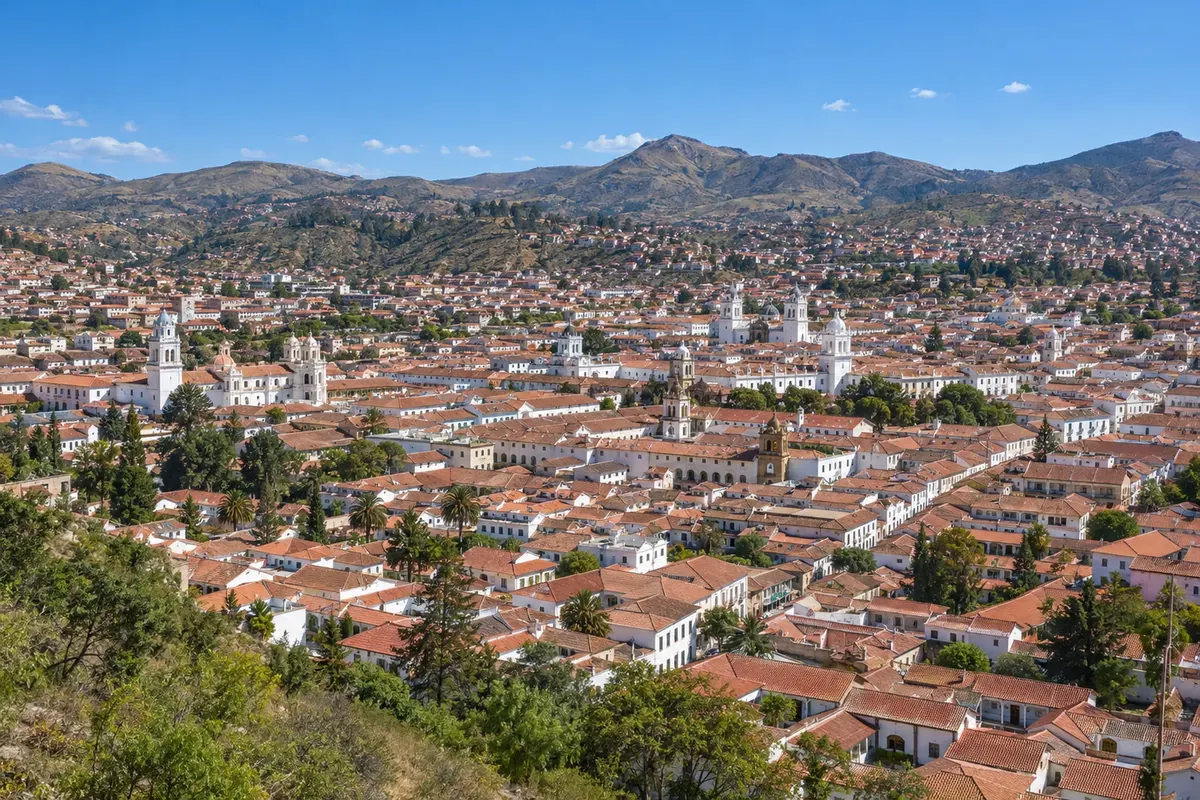
Routes, destinations and cities in Bolivia, with things to do, when to go and how to get there.
4 destinations 3 departments 5 cities
Across Cidade Turismo: 25 countries · 78 routes · 296 destinations · 901 cities
In the photo: Centro histórico de Sucre — Sucre
Illustrative images. The pictures in this guide are illustrations based on the real place, not photographs, and may differ from it.

The guide
Cidade Turismo is a travel guide built city by city, now also in Bolivia. For each place you'll find things to do, attractions with their own page, when to go and how to get there.
The guide has three ways in, so you can start wherever you like: routes, which link towns along one journey; destinations, which are the tourist regions; and the departments, with the main cities in each one.
The texts are written from official tourism sources, such as national and regional tourism offices, national parks and city halls, and new cities and routes keep being added to the guide.
About Cidade Turismo: who we are and how the guide is made →
0 routes
Tourist journeys linking cities and destinations. Each route has a map, legs, how many days and the best time to go.
See the routes4 destinations
The tourist regions in Bolivia, each with its towns: things to do, when to go and how to get there.
See the destinations5 cities in 3 departments
The guide by department: each one with its destinations, cities and routes, and each city with its attractions.
See departments and citiesThe map
Tap a region to see the names. Use two fingers to zoom in.
Contornos: GeoBolivia, via geoBoundaries (CC BY 4.0). Adaptação do Cidade Turismo.
Where to start
Six cities from the guide, changing every day.
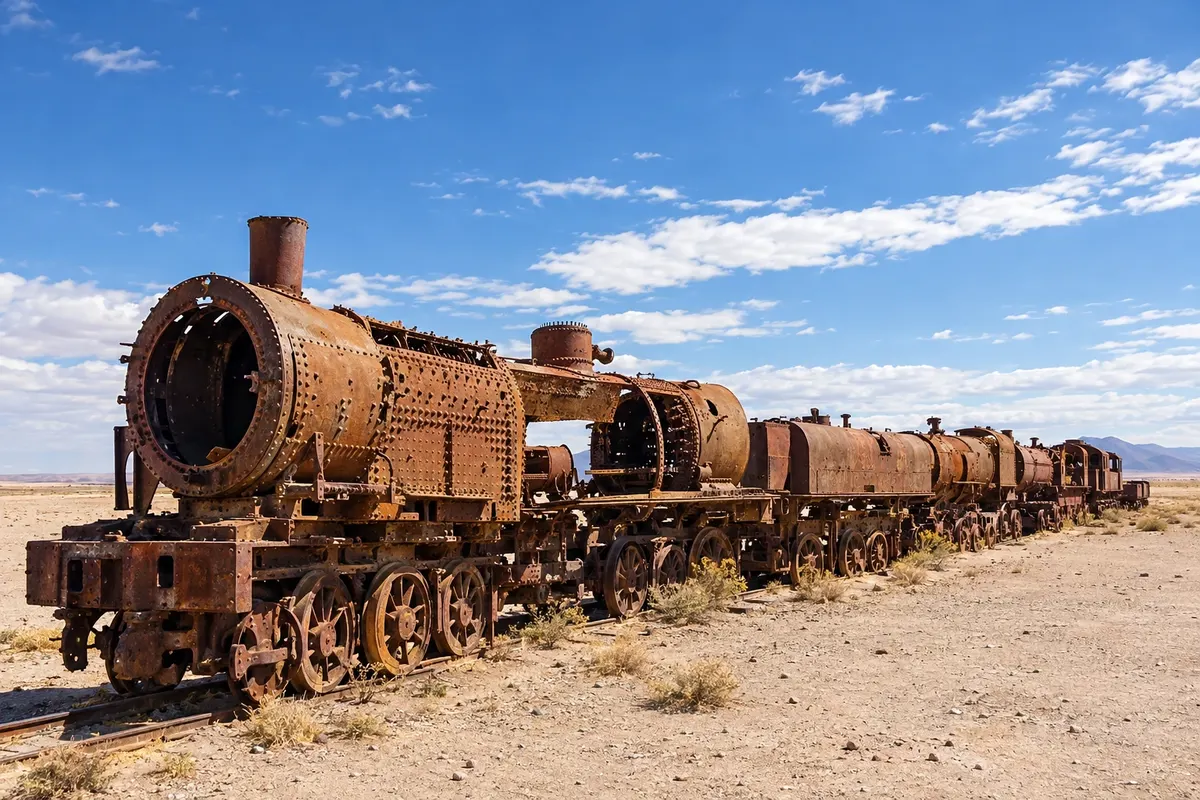
Uyuni is a town on the Altiplano, at about 3,700 meters, on the eastern edge of the Salar de Uyuni. It was founded at the end of the 19th century as a railway junction and today lives off tourism: it is the base for agencies that take visitors to the salar in 4x4 vehicles. It has wide streets, Plaza Arce with the clock tower and, in the surroundings, the Train Cemetery and the village of Colchani.
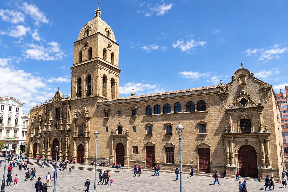
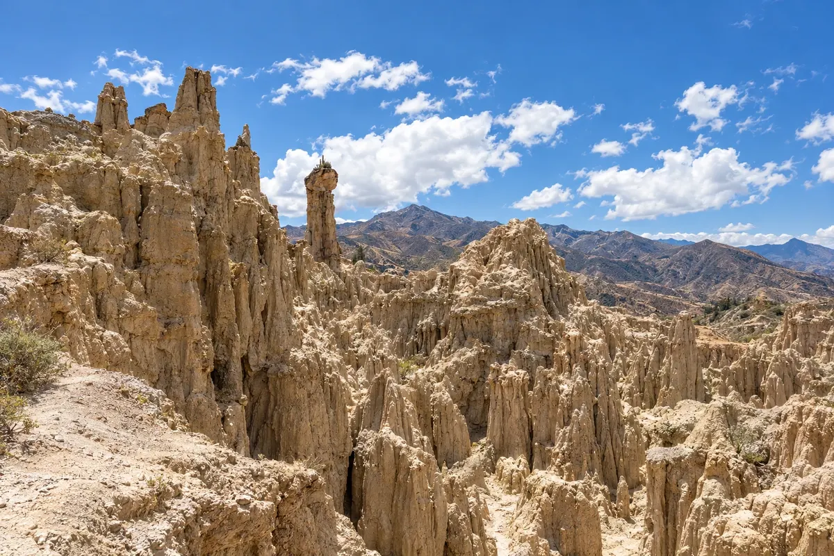
Seat of the Bolivian government, La Paz sits in an Andean canyon with the city center at about 3,600 meters and the snow-capped Illimani in the background. The colonial center has Plaza Murillo, Calle Jaén and the Basílica de San Francisco, and Mi Teleférico links the neighborhoods to El Alto on the Altiplano. From here you can take trips to Tiwanaku, Valle de la Luna and Copacabana on Lake Titicaca.
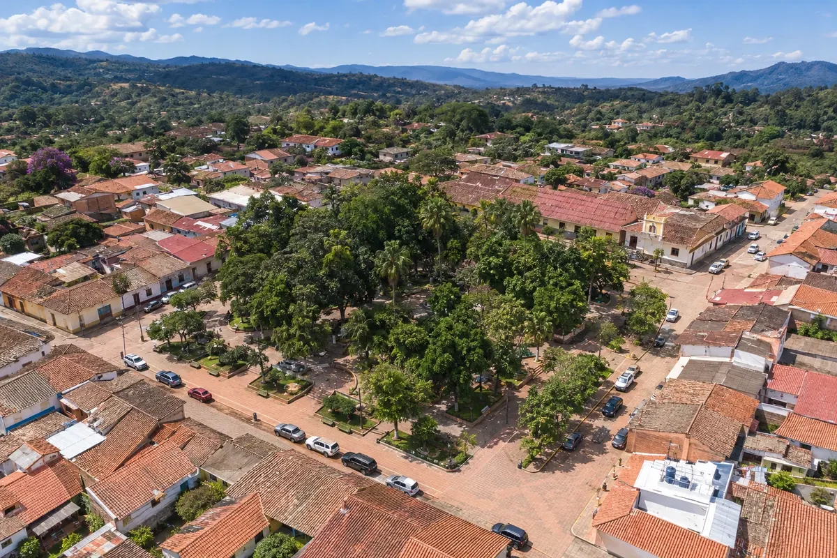
Samaipata is a village of colonial houses in the valleys southwest of Santa Cruz, at about 1,650 meters and 120 km from the capital, with a mild climate year-round. Next to it is El Fuerte de Samaipata, a large rock carved by pre-Inca peoples and the Incas, a World Heritage Site. The village has a plaza, cafés and inns, and is the base for trails in Parque Nacional Amboró.
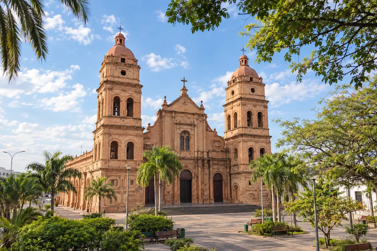
Santa Cruz de la Sierra is the largest city in Bolivia and the capital of the department of Santa Cruz, on the eastern plains, at about 400 metres. Hot and humid, it has the historic center around Plaza 24 de Septiembre, with the brick cathedral, and ring avenues.
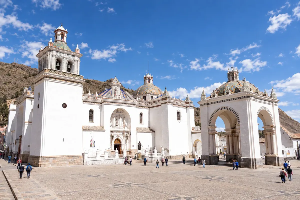
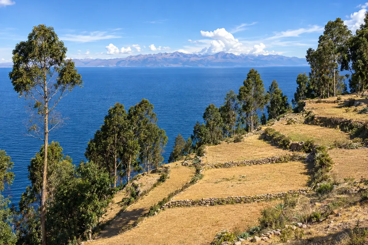
Copacabana is a pilgrimage village on the Bolivian shore of Lake Titicaca, at about 3,800 metres and 155 km from La Paz. The basilica da Virgem de Copacabana, with white domes, dominates the square, and the Cerro Calvario has views over the bay. Boats to the Isla del Sol and the Isla de la Luna leave from the port. It is also a stop on the overland route between La Paz and Puno.

Traveler area
The app
Save the destinations you want to visit, send your travel photos and get the guide's news.
FAQ
A travel guide to Bolivia organized into routes, destinations, departments and cities. Each city has things to do, attractions, when to go and how to get there.
A route is a journey linking several towns. A destination is a tourist region with its towns. A city is the place itself, with its attractions.
They are illustrations based on the real place, not photographs, and may differ from it. Photos sent by travelers are shown separately, as travelers' photos.
Type the name in the search box: it can be a route, destination, department, city or attraction. Or start from Routes, Destinations or Departments and cities in the menu.
Yes. Destinations already translated are available in Spanish and English at cidadeturismo.com, and the rest are being added.
Yes, for Android, on Google Play. With it you can save the destinations you want to visit and get the guide's news.