Santa Cruz de la Sierra lies on the plains of eastern Bolivia, at about 400 meters of altitude, away from the cold of the Andes. Founded in 1561 and moved to its present site at the end of the 16th century, it is now the largest city and the country's economic center, with a hot, humid climate, concentric ring avenues and a historic center of low houses with verandas over the sidewalks.
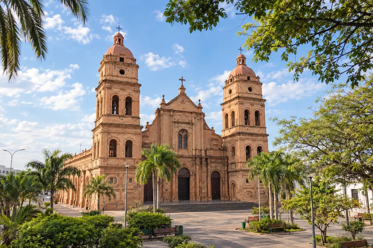
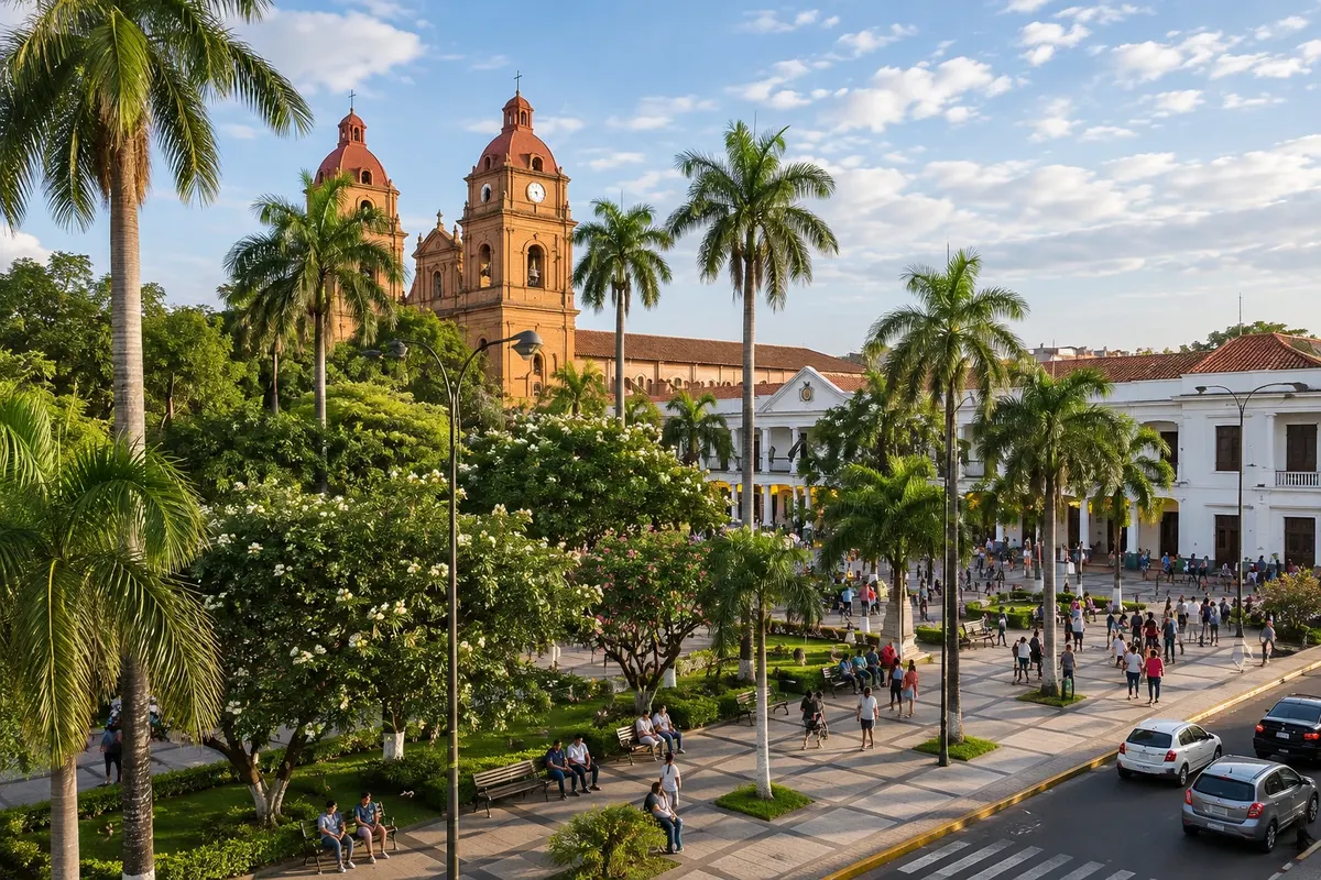
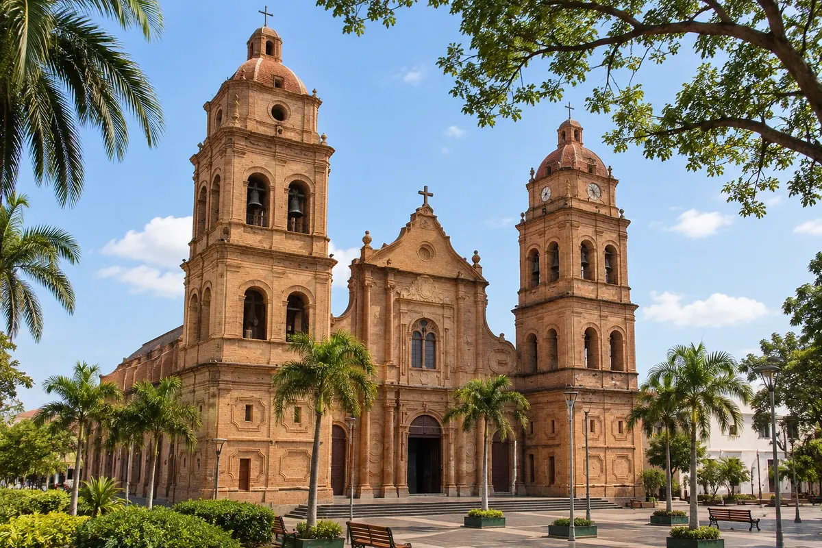
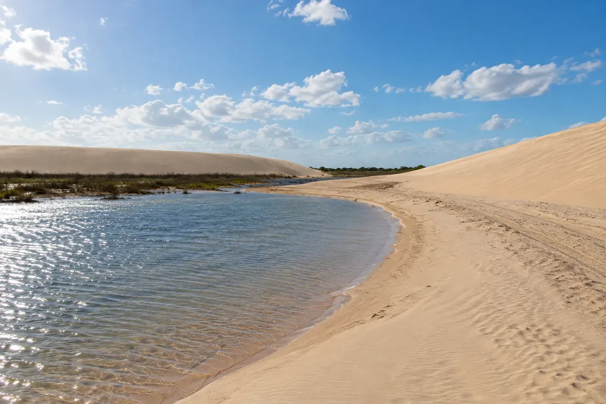
The center revolves around Plaza 24 de Septiembre, with tall trees and the Catedral Basílica de San Lorenzo, an exposed-brick cathedral whose tower serves as a lookout. Nearby are Biocentro Güembé, a nature park with a butterfly house, orchids and lagoons, and Parque Regional Lomas de Arena, with white sand dunes and lagoons amid the forest. Farther away, more than 200 km away, are the Missões Jesuíticas de Chiquitos, a World Heritage site.
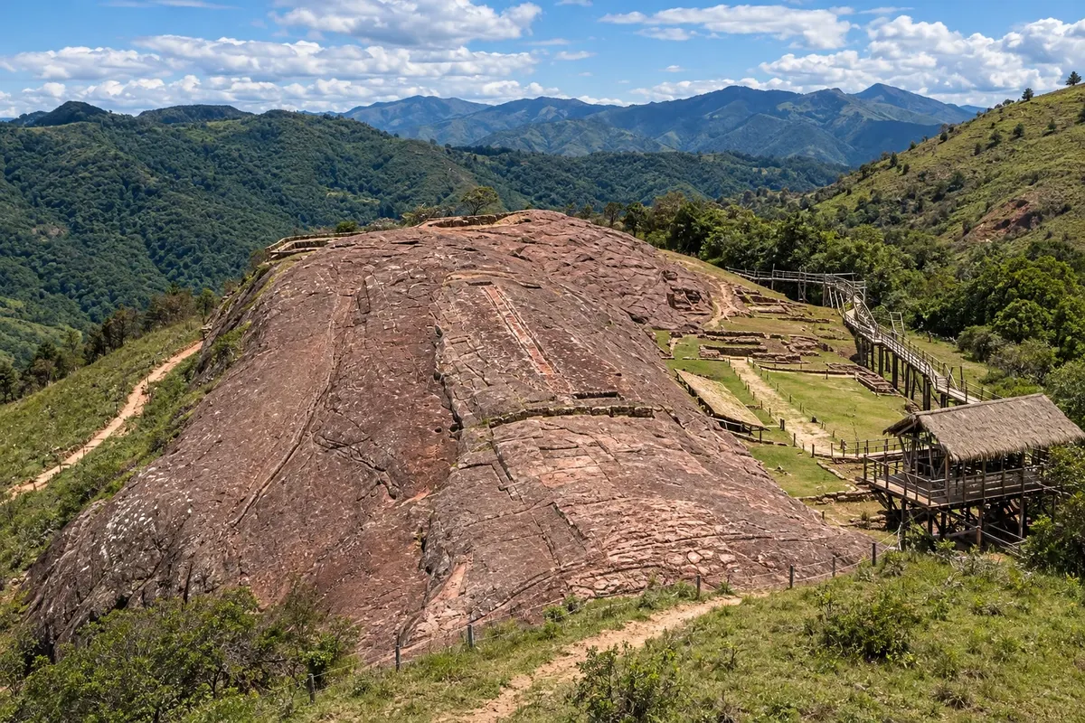
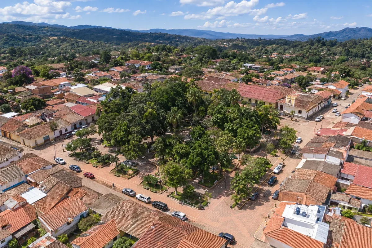
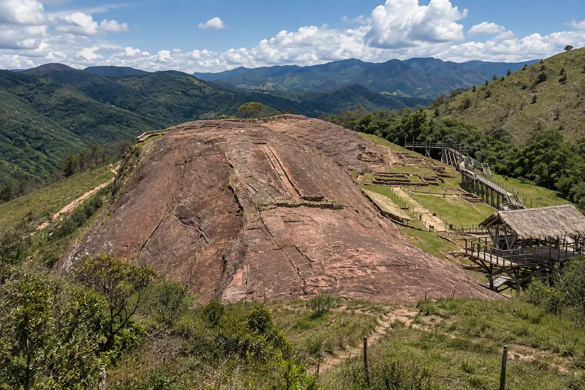
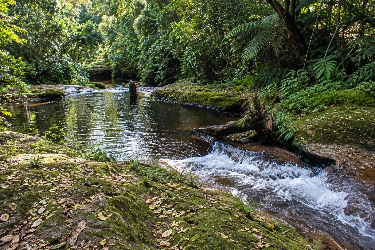
About 120 km to the southwest, the road climbs into the valleys and reaches Samaipata, a village of colonial houses at about 1,650 meters, with a mild climate. Next to it is El Fuerte de Samaipata, a huge rock carved by pre-Inca peoples and by the Incas, a UNESCO World Heritage Site. The village is also the base for Parque Nacional Amboró, with cloud forests and giant ferns.
Besides by plane, Santa Cruz is linked by land to Corumbá, in Mato Grosso do Sul. For some lowland and forest areas, yellow fever vaccination is often recommended or required; check before traveling.
This destination brings together 2 cities: Santa Cruz de la Sierra, Samaipata.


 Brazil
 Argentina
 Chile
Chile Colombia
 Ecuador
 Guyana
 French Guiana
 Falkland Islands (Malvinas)
 Paraguay
 Peru
Peru Suriname
 Uruguay
 Venezuela
 Germany
 Belgium
 Spain
Spain France
 Greece
 the Netherlands
 Ireland
 Italy
Italy Luxembourg
 Portugal
 the United Kingdom
 Switzerland