
Route · CE
Ibiapaba Viewpoints Route
Nine municipalities of the Ceará highlands linked by the CE-187 axis and its branches, between the heritage of Viçosa, Ubajara National Park, the religious tourism of São Benedito and the landscape of the Bica do Ipu.
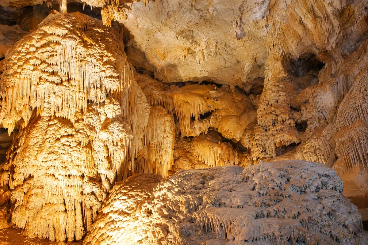
In the photo: Interior of the Ubajara Grotto in the Serra da Ibiapaba.
Illustrative images. The pictures in this guide are illustrations based on the real place, not photographs, and may differ from it.

The route
What the Ibiapaba Viewpoints Route is
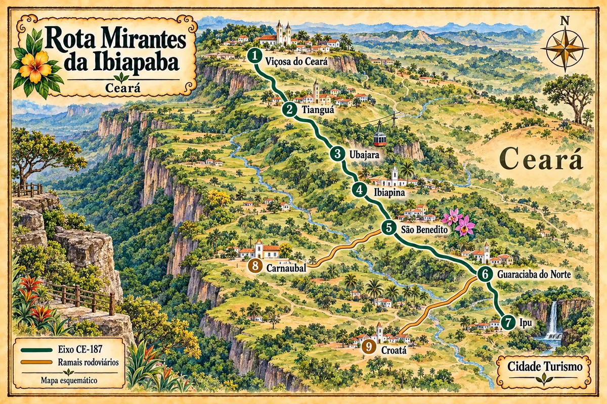
The Ibiapaba Viewpoints Route brings together nine municipalities in the northwest of Ceará. The main route follows the CE-187 between Viçosa do Ceará and Ipu, with detours to Carnaubal and Croatá. Each stop adds a piece of the region: Viçosa's historic ensemble, Tianguá's road connection, Ubajara Park and the highland agriculture that is part of life in Ibiapina, São Benedito and Guaraciaba do Norte.
Ubajara National Park concentrates trails, viewpoints and the Ubajara Grotto. Visiting the cave has its own rules for access, guidance and scheduling of the bondinho. In São Benedito, the Santuário de Fátima da Serra Grande is a landmark for religious tourism. Further south, Ipu brings the route closer to the foothills and the Bica do Ipu. Carnaubal and Croatá are branches that return to the axis, not towns you must pass through on a single road.
The map
9 cities along the way
Mapa: @svg-maps/brazil, CC BY 4.0
The journey
City by city
Distances and times are approximate: check before you set off.
-
 1 · CE
Viçosa do Ceará
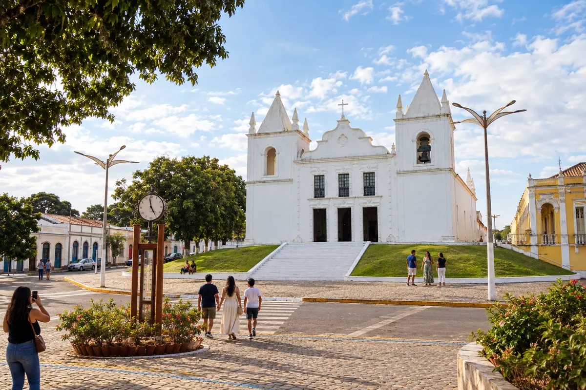
Viçosa do Ceará preserves a listed historic ensemble, with churches and manor houses linked to the formation of the mountain town. On Morro do Céu, the Igreja do Céu is part of the municipality's tourist and craft hub. The town is the northern stop on the CE-187 axis of the Ibiapaba Viewpoints Route.
→ Tianguá Along CE-187, from Viçosa do Ceará to Tianguá, on the northern stretch of the plateau. In Tianguá, the connection to BR-222 is one of the access routes to the highlands.
-
 2 · CE
Tianguá
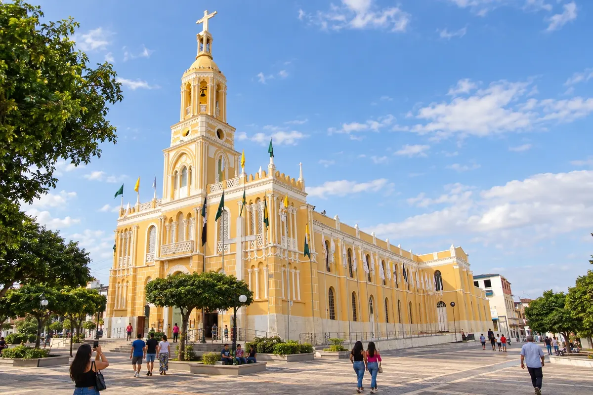
Tianguá is home to the Cathedral of Sant'Ana and the connection between BR-222 and CE-187, one of the road accesses to the Ibiapaba. The mountain range and its forested areas shape the landscape around the municipal seat. On the route, the town links the Viçosa stage to the continuation to Ubajara.
→ Ubajara Continue along CE-187 to Ubajara. The transfer to the park's Visitor Center uses a local access separate from passing through the town.
-
 3 · CE
Ubajara
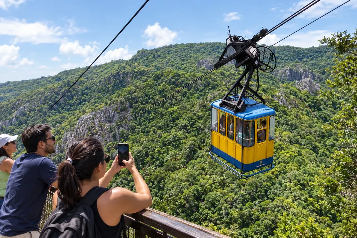
Ubajara gives its name to the national park that protects caves, forests and slopes of the Ibiapaba. The Ubajara Grotto is visited with guided access, and the bondinho is used on the authorized access and return routes. The town lies on the CE-187 axis; the park has its own access, which should be planned separately.
→ Ibiapina CE-187 road between Ubajara and Ibiapina, across the high plateau. The park's trails are not part of this road link.
-
 4 · CE
Ibiapina
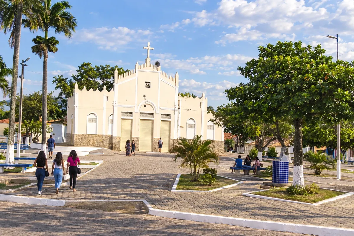
Ibiapina has a core settlement whose formation dates back to the 19th century and a territory drained by the Jaburu, Pejuaba and Pituba rivers. Between Ubajara and São Benedito, its municipal seat lies on the CE-187 axis. The stop adds highland urban life to the route, without confusing local visits with attractions of the neighboring park.
→ São Benedito Follow CE-187 toward São Benedito, crossing the mountain area where agriculture and floriculture are part of the rural landscape.
-
 5 · CE
São Benedito
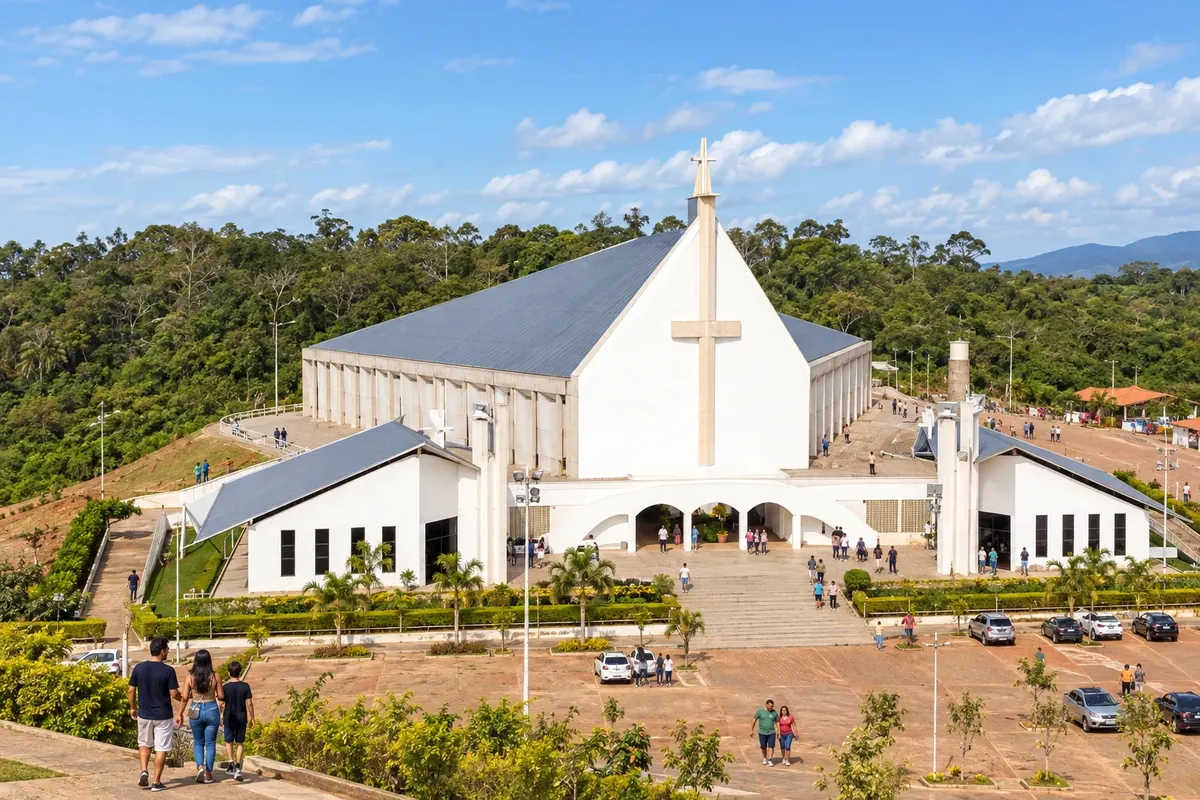
São Benedito is home to the Santuário de Fátima da Serra Grande and an economy known for the production of roses and ornamental plants. Religious visits are organized independently, while visiting a production area depends on permission from the person in charge. From the CE-187, the town also serves as the junction for the branch toward Carnaubal.
→ Guaraciaba do Norte Connection via CE-187 from São Benedito to Guaraciaba do Norte. Visits to rural areas require arranging the chosen access point in advance.
-
 6 · CE
Guaraciaba do Norte
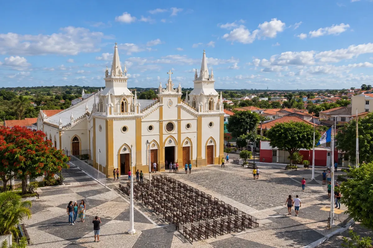
Guaraciaba do Norte was previously called Campo Grande and Inhussu before receiving its current name. vegetable farming, including tomato and cabbage, is part of the municipality's economy. The municipal seat lies on the CE-187 axis, with a detour via the CE-327 to Croatá and continuation to Ipu.
→ Ipu Along CE-187, from Guaraciaba do Norte to Ipu, on the stretch that links the plateau to the foothills. Access to the Bica is an additional transfer.
-
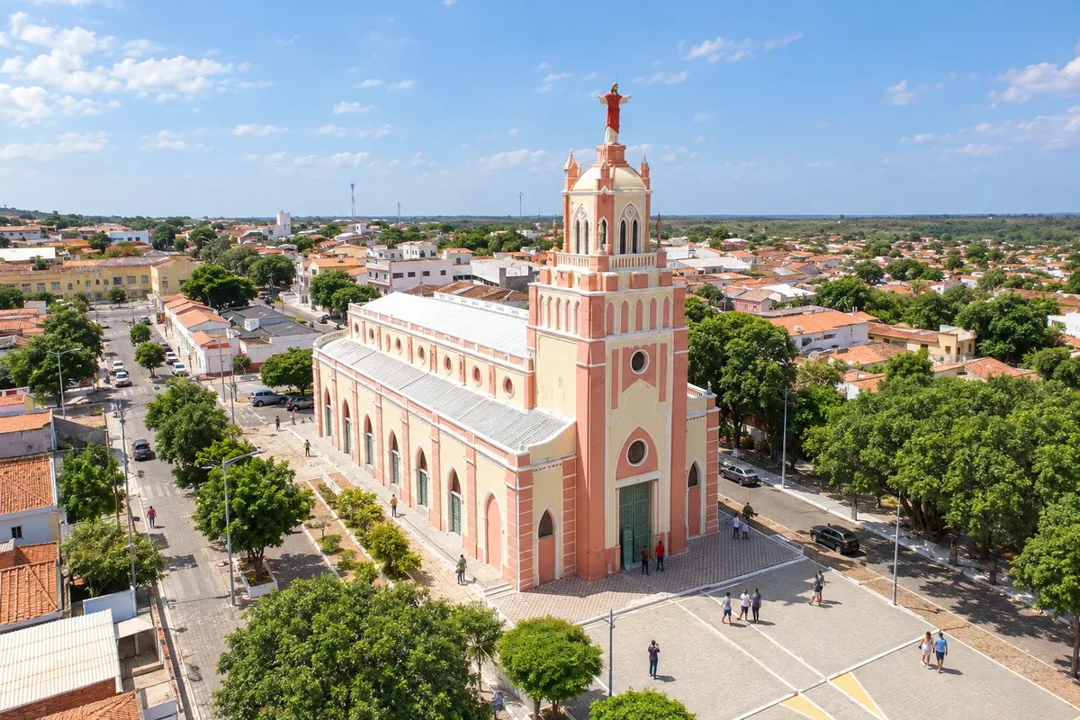 7 · CE
Ipu
Ipu sits at the foot of the Ibiapaba, close to the slopes and springs protected by the APA da Bica do Ipu. The Bica is a landmark in the local landscape, and the railway heritage is part of the town's urban history. The approach from Guaraciaba via CE-187 links the plateau to the southernmost stage of the main axis.
-
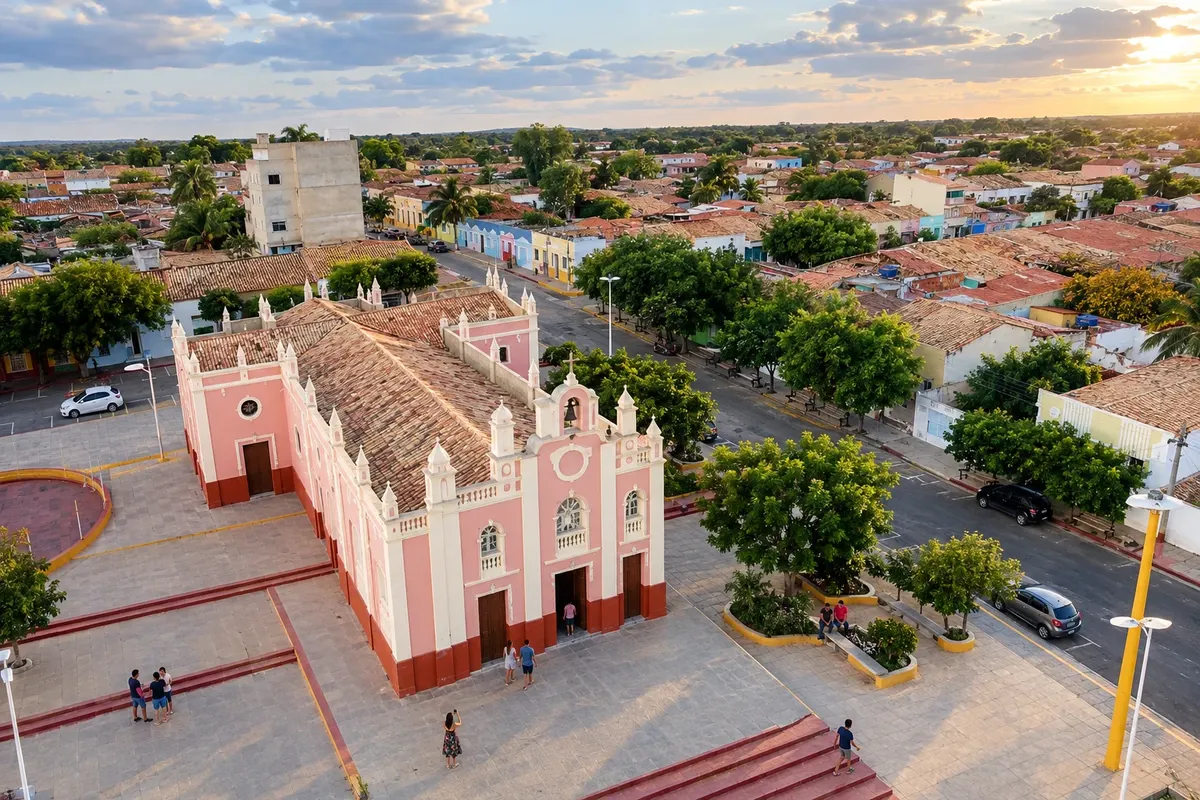 8 · CE
Carnaubal
Carnaubal took its name from the carnauba groves that existed in the Várzea area, near the original settlement core. The municipality was formed from São Benedito, from which it separated in 1957. On the route, it lies on a branch west of the Guaraciaba axis, with access via the CE-427 and local connections.
-
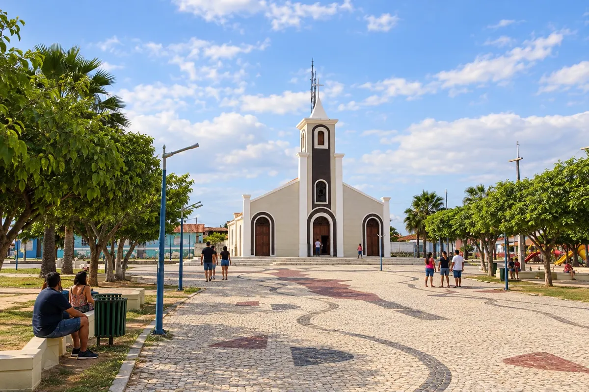 9 · CE
Croatá
Croatá became a municipality out of the districts of Croatá and Barra do Sotero, separated from Guaraciaba do Norte in 1988. Its position to the south of the plateau expands the scope of the Ibiapaba Viewpoints Route beyond the main axis. The visit is entered as a branch via the CE-327, returning to the Guaraciaba connection.
How many days
Allow four to six days to explore the mountain axis and the two branches. Choose the hikes and cultural visits for each stage before deciding where to sleep; an activity in the park can take up much of a day.
Best time to go
Rains are usually concentrated from January to May, especially in March and April, when waterfalls tend to have more water and trails can be wet. From July to December it generally rains less, which makes it easier to plan hikes and stops at viewpoints; visibility also changes with the mountain mist. The July holidays usually bring more activity, with Viçosa do Ceará's cultural programming.
The seasons shown are the most usual ones; nature doesn't always follow the calendar.
How to travel it
The CE-187 structures the axis Viçosa–Tianguá–Ubajara–Ibiapina–São Benedito–Guaraciaba–Ipu. Carnaubal is accessed via the CE-427 and Croatá via the CE-327. A vehicle makes rural visits easier, while the visit to the Grotto depends on the authorized itinerary and booking of the bondinho. Combine the access routes for each activity before you set off.
Who it's for
For those planning to alternate urban heritage, religious visits and mountain activities, using road transport between municipalities. Hikes and the cave require choices compatible with participants' fitness and needs.
Your questions
Frequently asked questions about the Ibiapaba Viewpoints Route
Which road serves as the route for the Rota Mirantes da Ibiapaba?
CE-187 connects the Viçosa do Ceará axis to Ipu, passing through Tianguá, Ubajara, Ibiapina, São Benedito and Guaraciaba. Carnaubal and Croatá use their own branch roads.
Do I need to travel through the nine municipalities in sequence?
There is no single road sequence that makes all the towns mandatory stops. Carnaubal and Croatá can be visited as detours that return to the main axis, depending on the stages you choose.
How do I visit the Gruta de Ubajara?
Check the park rules and book the cable car for the authorized route. The cave visit requires a guide. Alternative hikes have different requirements and must be arranged before the trip.
Are all activities close to CE-187?
The municipal seats are connected by that road, but the park, rural areas and other visitor sites use additional access roads. Identify the arrival point for each activity before you set out.
Will the viewpoints and waterfalls have the same conditions in any month?
Visibility and water volume depend on natural conditions. Weather forecasts and advice from those who manage the site help decide the outing for the chosen dates.