Ceará · Brazil
Croatá
In the destination Serra da Ibiapaba.
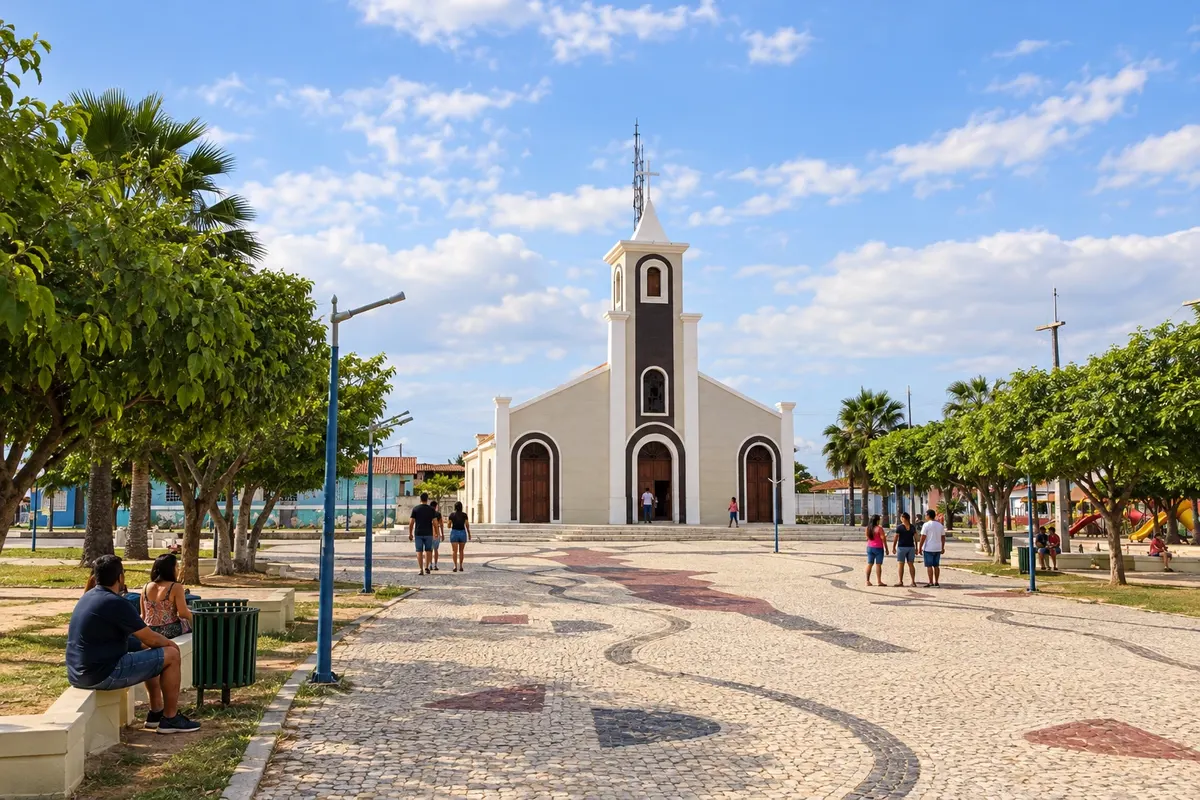
In the photo: Church and central square of Croatá.
Illustrative images. The pictures in this guide are illustrations based on the real place, not photographs, and may differ from it.

The city
What to expect from Croatá.
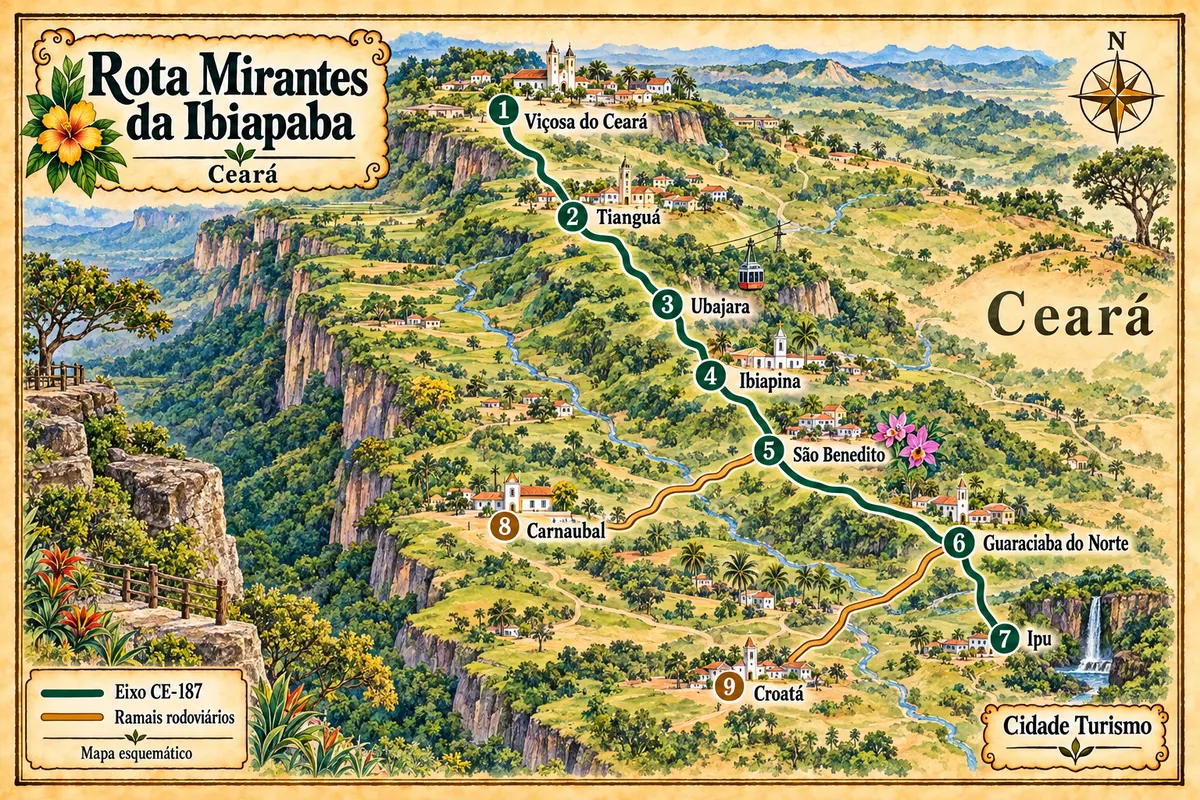
Croatá became a municipality in 1988, formed from the districts of Croatá and Barra do Sotero, which were separated from Guaraciaba do Norte. Its location south of the plateau extends the reach of the Rota Mirantes da Ibiapaba beyond the main axis. The visit comes in as a spur via the CE-327, with a return to the Guaraciaba connection.
Where to stay
There's no accommodation in the guide yet in Croatá.
Where to eat
There are no restaurants in the guide yet in Croatá.
Know a good one? Recommend it to usYour trip
how to get there · questions
Brazilian routes
Croatá is part of the Ibiapaba Viewpoints Route
Nine municipalities of the Ceará highlands linked by the CE-187 axis and its branches, between the heritage of Viçosa, Ubajara National Park, the religious tourism of São Benedito and the landscape of the Bica do Ipu.