Ceará · Brazil
Guaraciaba do Norte
In the destination Serra da Ibiapaba.
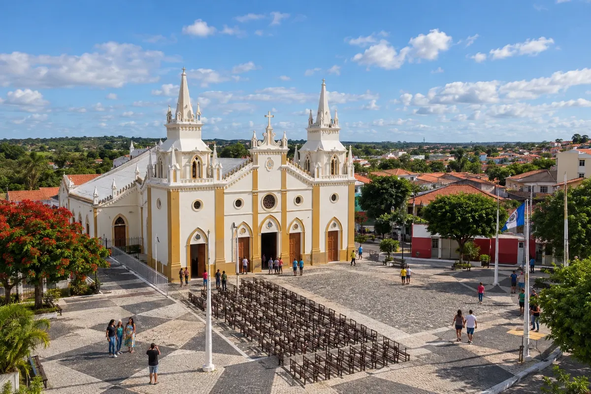
In the photo: Matriz Nossa Senhora dos Prazeres in Guaraciaba do Norte.
Illustrative images. The pictures in this guide are illustrations based on the real place, not photographs, and may differ from it.

The city
What to expect from Guaraciaba do Norte.
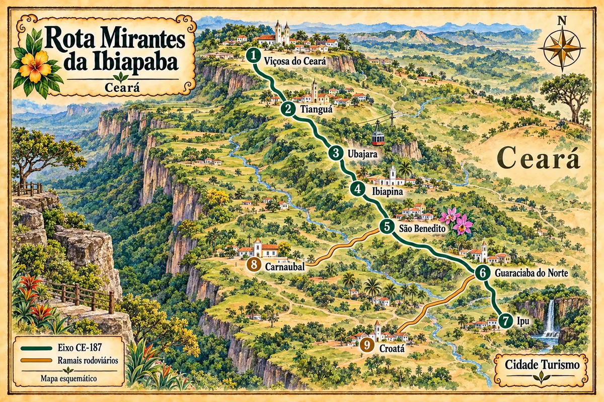
Guaraciaba do Norte was once called Campo Grande and Inhussu before taking its current name. Vegetable farming, including tomatoes and cabbage, is part of the municipality's economy. The town seat lies along the CE-187 axis, with a turnoff via the CE-327 to Croatá and continuation to Ipu.
Where to stay
There's no accommodation in the guide yet in Guaraciaba do Norte.
Where to eat
There are no restaurants in the guide yet in Guaraciaba do Norte.
Know a good one? Recommend it to usYour trip
how to get there · questions
Brazilian routes
Guaraciaba do Norte is part of the Ibiapaba Viewpoints Route
Nine municipalities of the Ceará highlands linked by the CE-187 axis and its branches, between the heritage of Viçosa, Ubajara National Park, the religious tourism of São Benedito and the landscape of the Bica do Ipu.