
Route · RS
Rota Romântica
From Vale dos Sinos to Serra Gaúcha, a journey through fourteen municipalities, landscapes and heritage.
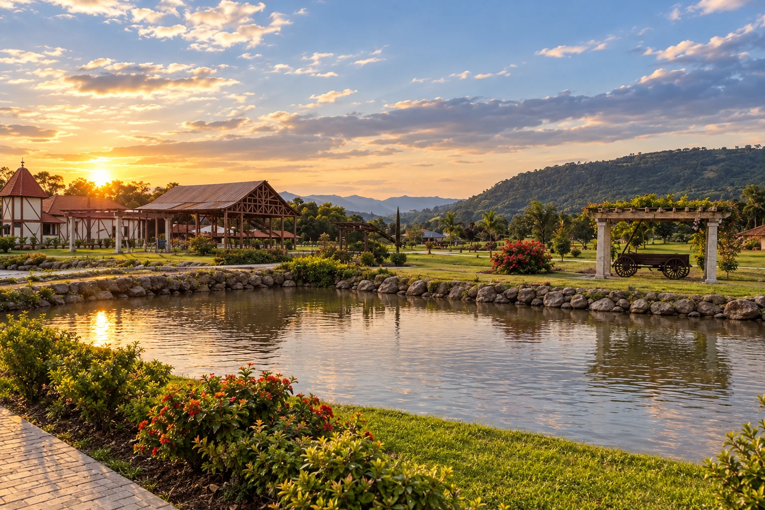
In the photo: Parque Municipal Egon Gewehr, in Presidente Lucena
Illustrative images. The pictures in this guide are illustrations based on the real place, not photographs, and may differ from it.

The route
What the Rota Romântica is
The Rota Romântica links municipalities from Vale dos Sinos to Serra Gaúcha. The trip combines public spaces, heritage and landscapes, with stops that can be planned according to the group's interests.
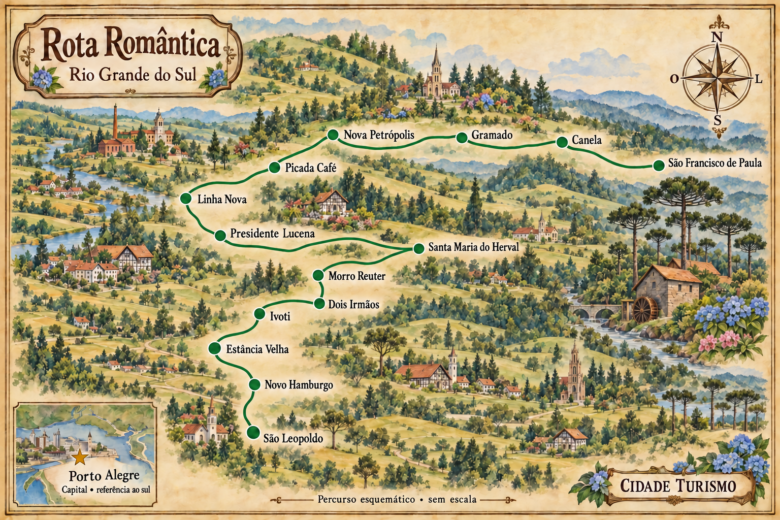
This route starts in São Leopoldo and continues through Novo Hamburgo, Estância Velha, Ivoti, Dois Irmãos and Morro Reuter. It includes Santa Maria do Herval before proceeding to Presidente Lucena, Linha Nova and Picada Café. This sequence organizes visits to the fourteen municipalities; some accesses require detours from the main connections.
From Nova Petrópolis, the route continues via Gramado and Canela to São Francisco de Paula. Allow time for local excursions and choose accommodation bases according to your transfers.
Walking and cycling circuits have their own routes. Do not use the road sequence of this itinerary as a trail guide; check the route and the signage for the chosen activity.
The map
14 cities along the way
The journey
City by city
Distances and times are approximate: check before you set off.
-
 1 · RS
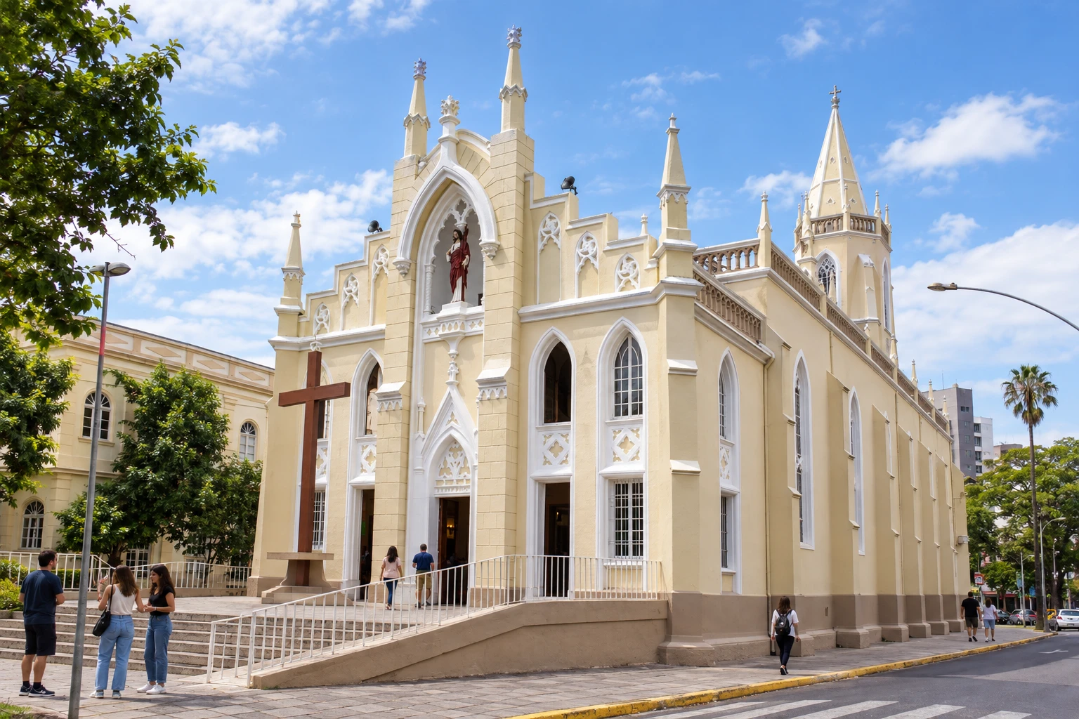
São Leopoldo
The main church is a landmark of the urban heritage.
→ Novo Hamburgo about 7 km São Leopoldo and Novo Hamburgo are linked by the BR-116 axis in Vale do Sinos. It's a passage between urban areas; access to museums and Hamburgo Velho requires leaving the highway for the chosen addresses.
-
 2 · RS
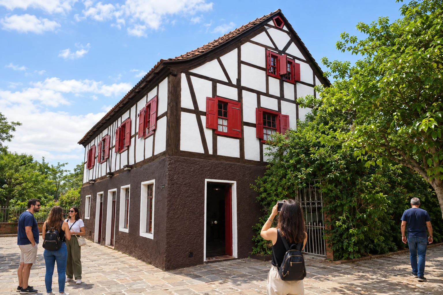
Novo Hamburgo
Casa Schmitt Presser is a reference of historic architecture.
→ Estância Velha about 8 km From Novo Hamburgo, the continuation to Estância Velha uses accesses along the BR-116 axis. This stage stays within the urban environment of Vale do Sinos, before the links to the towns on the mountainside.
-
 3 · RS
Estância Velha
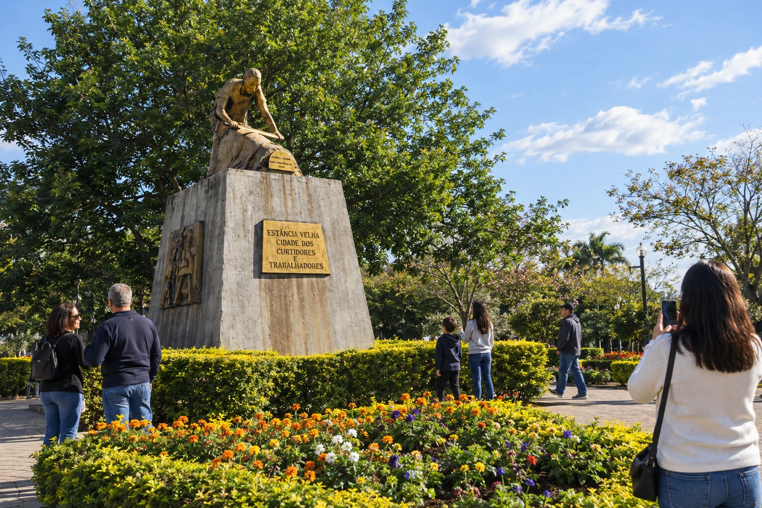
The Monumento ao Curtidor offers insight into a reference of local history.
→ Ivoti about 4 km The connection from Estância Velha to Ivoti leaves the BR-116 axis via the indicated access to Ivoti. Entering the Núcleo de Casas Enxaimel is a local transfer; do not park on the Ponte do Imperador or its approaches.
-
 4 · RS
Ivoti
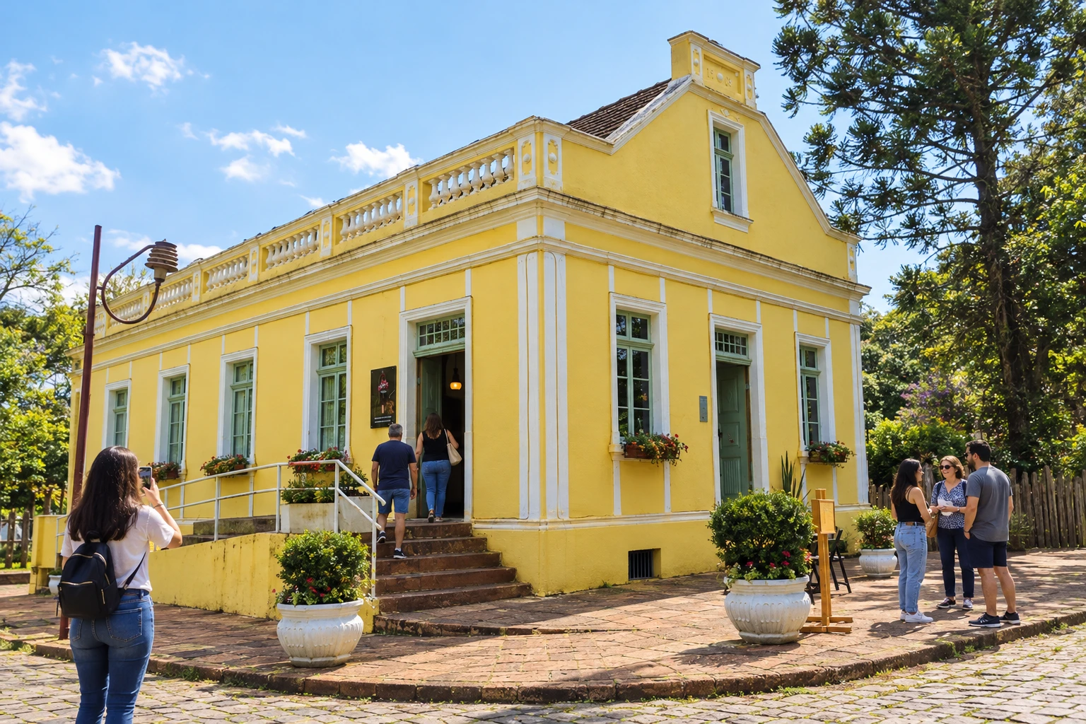
Casa Amarela is a reference of the local heritage.
→ Dois Irmãos To continue from Ivoti to Dois Irmãos by road, return to the BR-116 axis and use the Dois Irmãos access. The walking circuit between the towns has its own route and does not equate to the car connection.
-
 5 · RS
Dois Irmãos
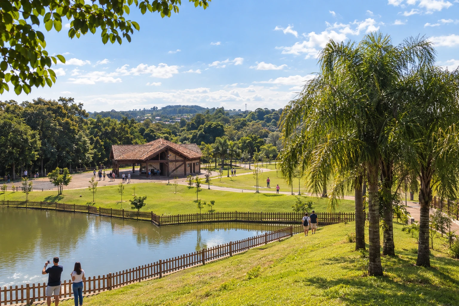
Parque Romeo Benício Wolf provides a pause during the urban walk.
→ Morro Reuter about 5 km Dois Irmãos and Morro Reuter are connected via the BR-116 axis, at the passage from Vale do Sinos to the mountain slope. The Obelisco de Livros marks the entrance to Morro Reuter; stop only in permitted areas.
-
 6 · RS
Morro Reuter
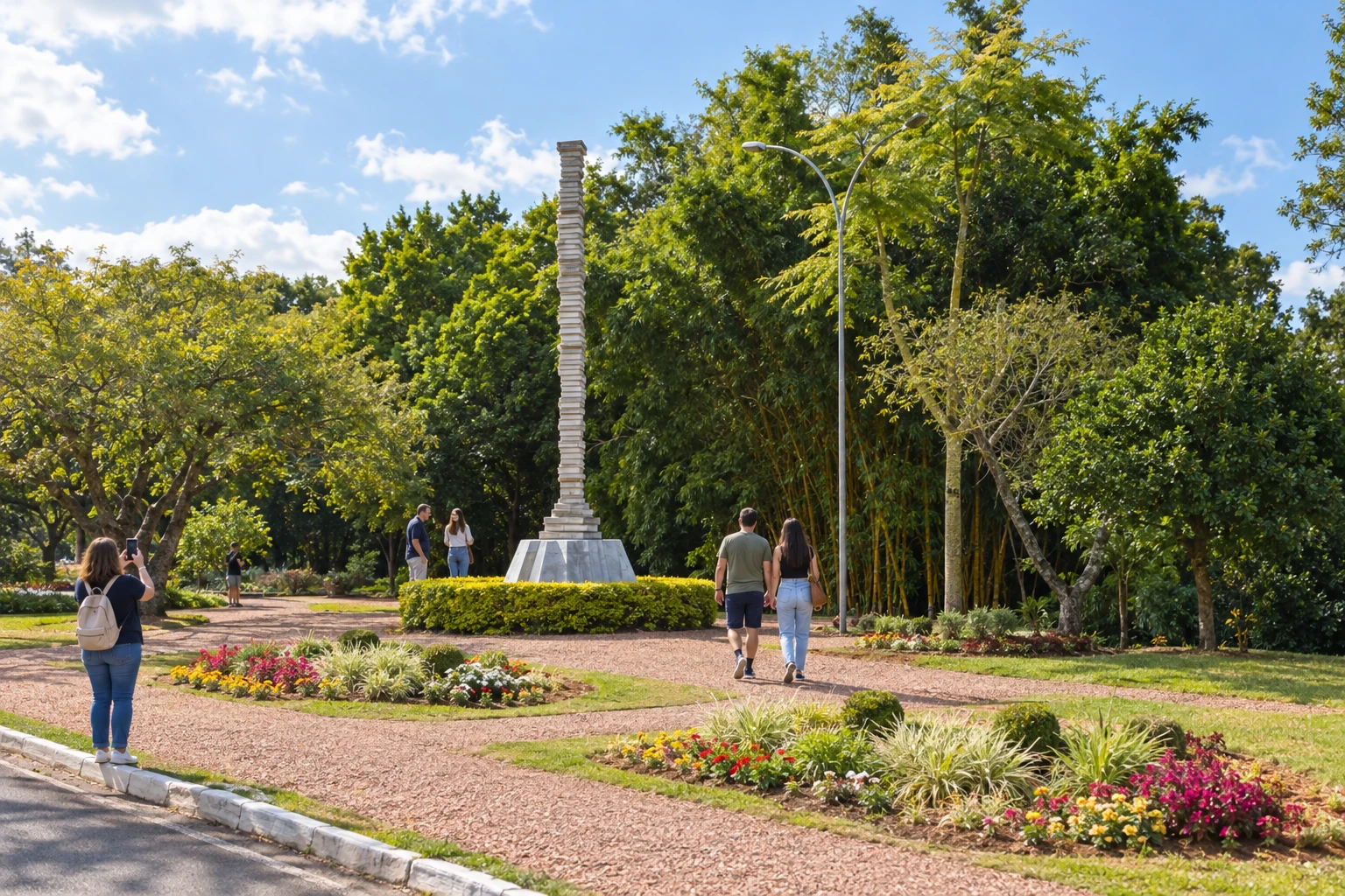
The Obelisco de Livros is a landmark in the urban landscape.
→ Santa Maria do Herval about 14 km From Morro Reuter, the exit to Santa Maria do Herval leaves the BR-116 main axis and follows the indicated local connection to the town. This stage leads to the municipality of Rio Cadeia and the Kartoffelfest, with specific access to the waterfalls.
-
 7 · RS
Santa Maria do Herval
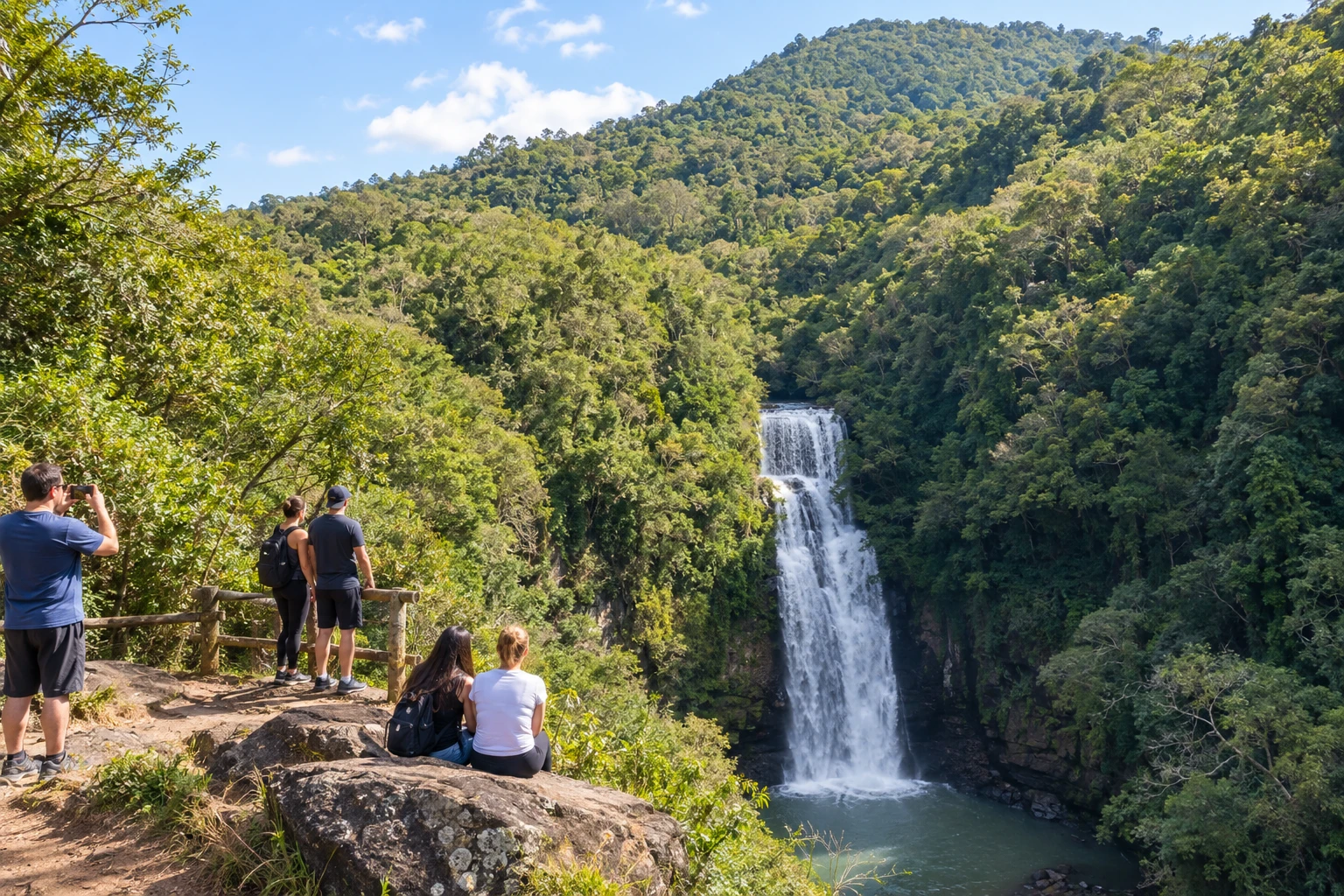
Cascata Linha Marcondes is part of the nature excursions.
→ Presidente Lucena Santa Maria do Herval and Presidente Lucena do not appear as a direct link on the route's road map. One option is to return via Morro Reuter, continue along the BR-116 axis toward Picada Café and use the VRS-865 to reach Presidente Lucena.
-
 8 · RS
Presidente Lucena
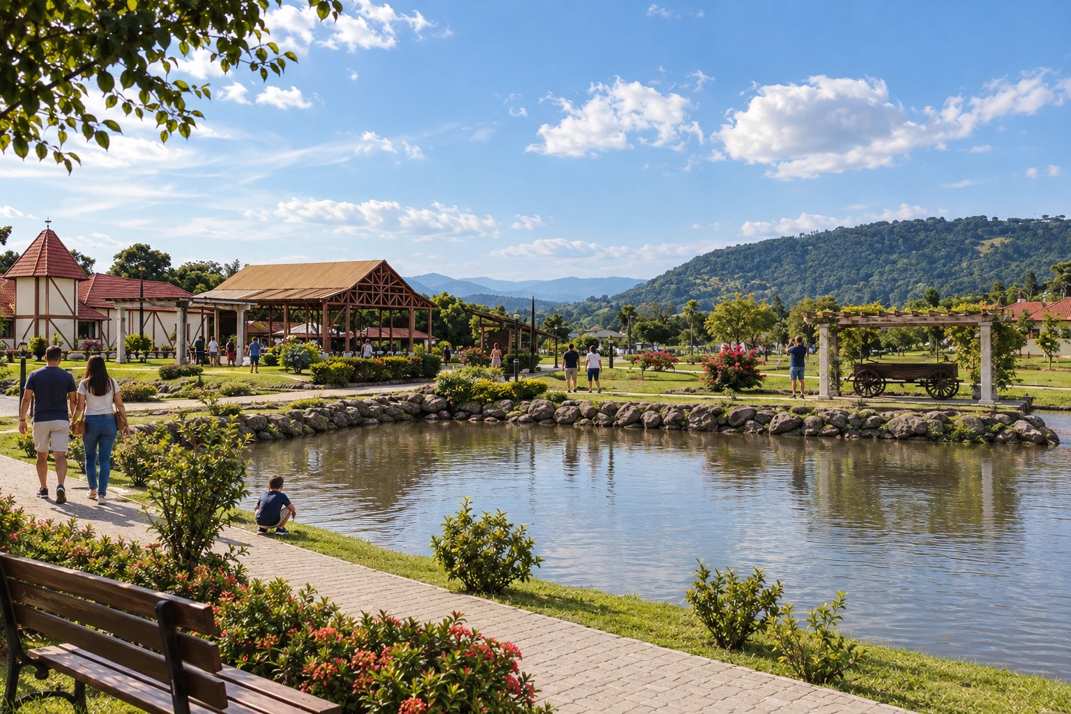
Parque Municipal Egon Gewehr offers a pause amid its lake and garden scenery.
→ Linha Nova about 5 km Between Presidente Lucena and Linha Nova, the route map indicates the connection via Rua 25 de Julho. It is a passage to another inland locality; on arrival, Parque Georg Heinrich Ritter guides the visit to the Heimathaus.
-
 9 · RS
Linha Nova
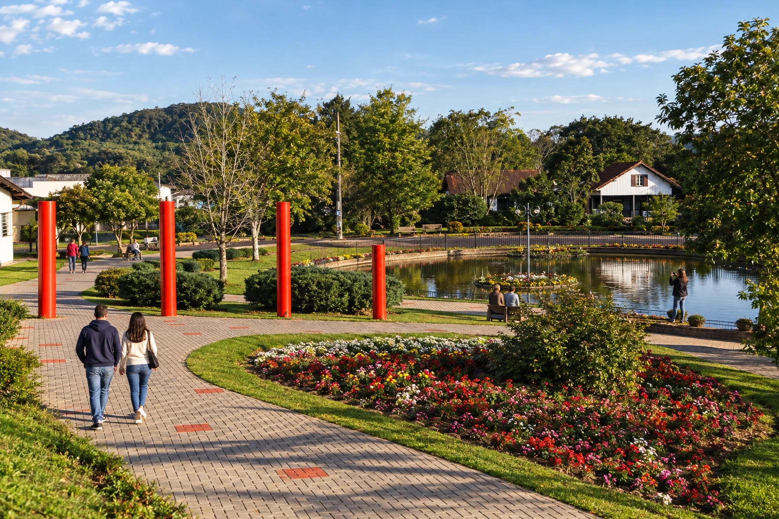
Praça das Águas provides a pause during the city walk.
→ Picada Café To link Linha Nova to Picada Café, plan the passage via Presidente Lucena and the VRS-865, according to the road map accesses. The walking circuit between Linha Nova and Picada Café includes its own rural stage.
-
 10 · RS
Picada Café
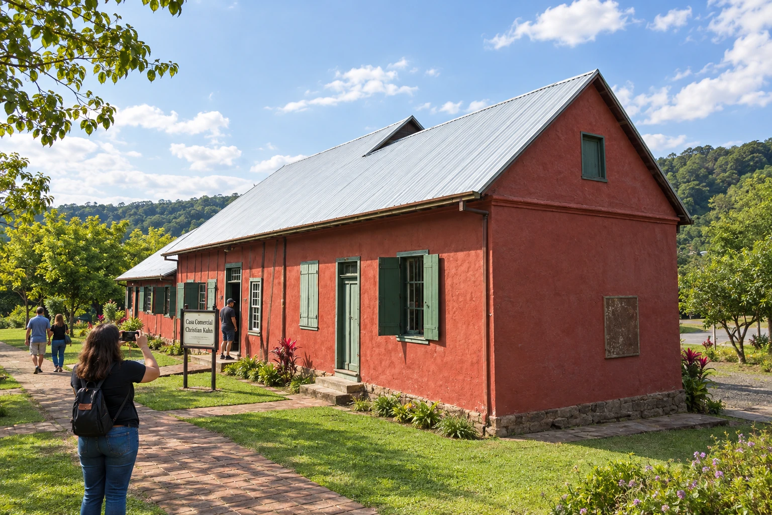
Parque Jorge Kuhn brings together references of the local heritage.
→ Nova Petrópolis about 10 km From Picada Café to Nova Petrópolis, follow the BR-116 axis. Mountain scenery and plane trees characterize this part of the route; at the entrance to Nova Petrópolis is the junction with RS-235.
-
 11 · RS
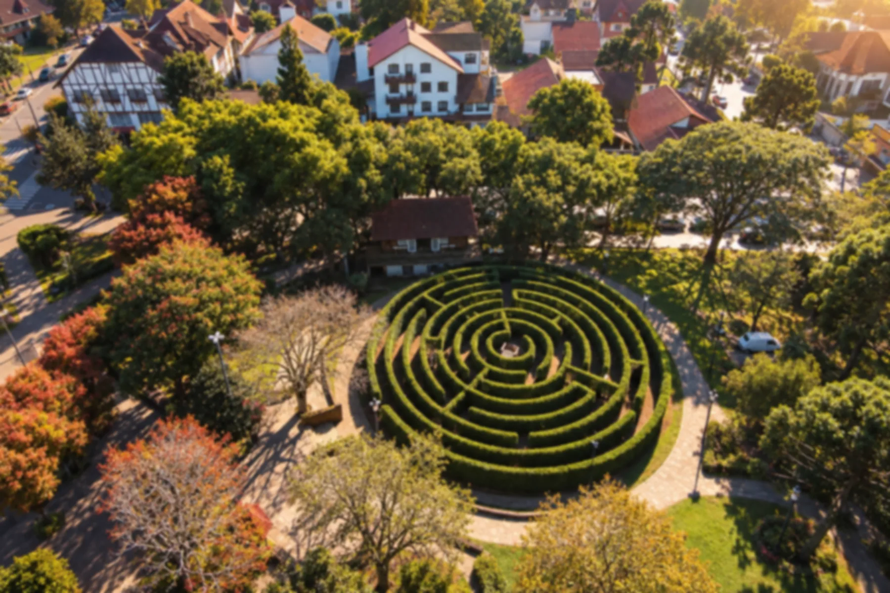
Nova Petrópolis
Base for organizing the continuation through Serra Gaúcha.
→ Gramado about 35 km Nova Petrópolis and Gramado are connected by RS-235, leaving BR-116 to cross the mountain landscape. Schedule stops at suitable locations and monitor the fog forecast before driving.
-
 12 · RS
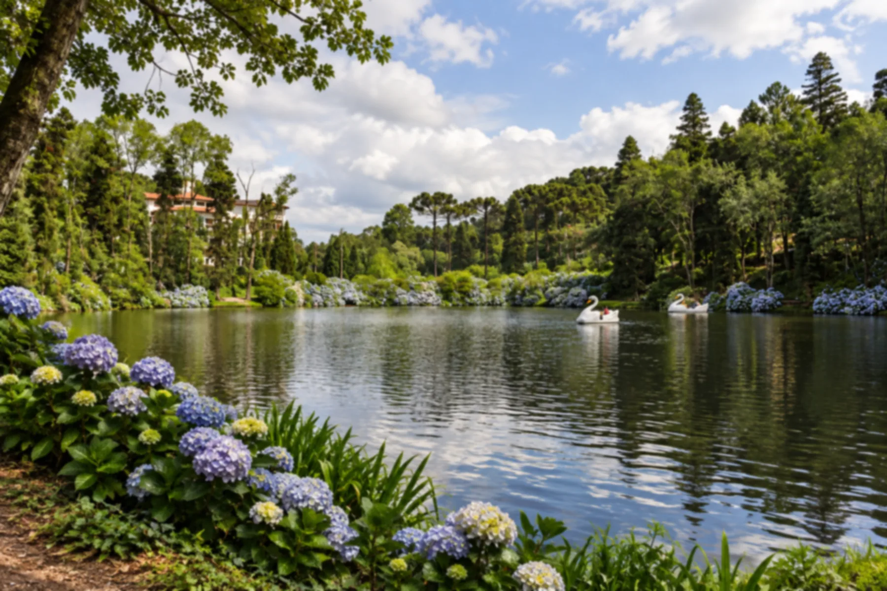
Gramado
Base to distribute urban excursions and continue the trip.
→ Canela about 6 km The continuation between Gramado and Canela follows RS-235, connecting the two tourist centers. Specify the address of your next visit to choose the correct exit from the road.
-
 13 · RS
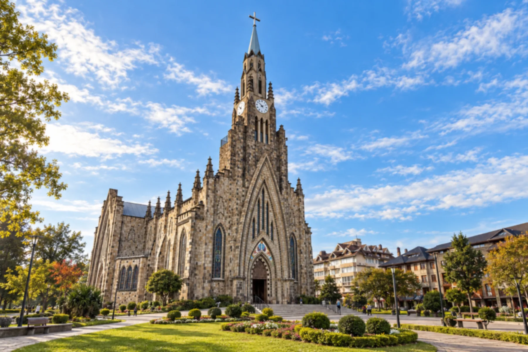
Canela
Allows combining urban heritage and nature excursions.
→ São Francisco de Paula about 35 km From Canela to São Francisco de Paula, the Rota Romântica's road route continues along RS-235. This stage leaves Canela's urban area heading into the mountain scenery and arriving at São Francisco de Paula.
-
 14 · RS
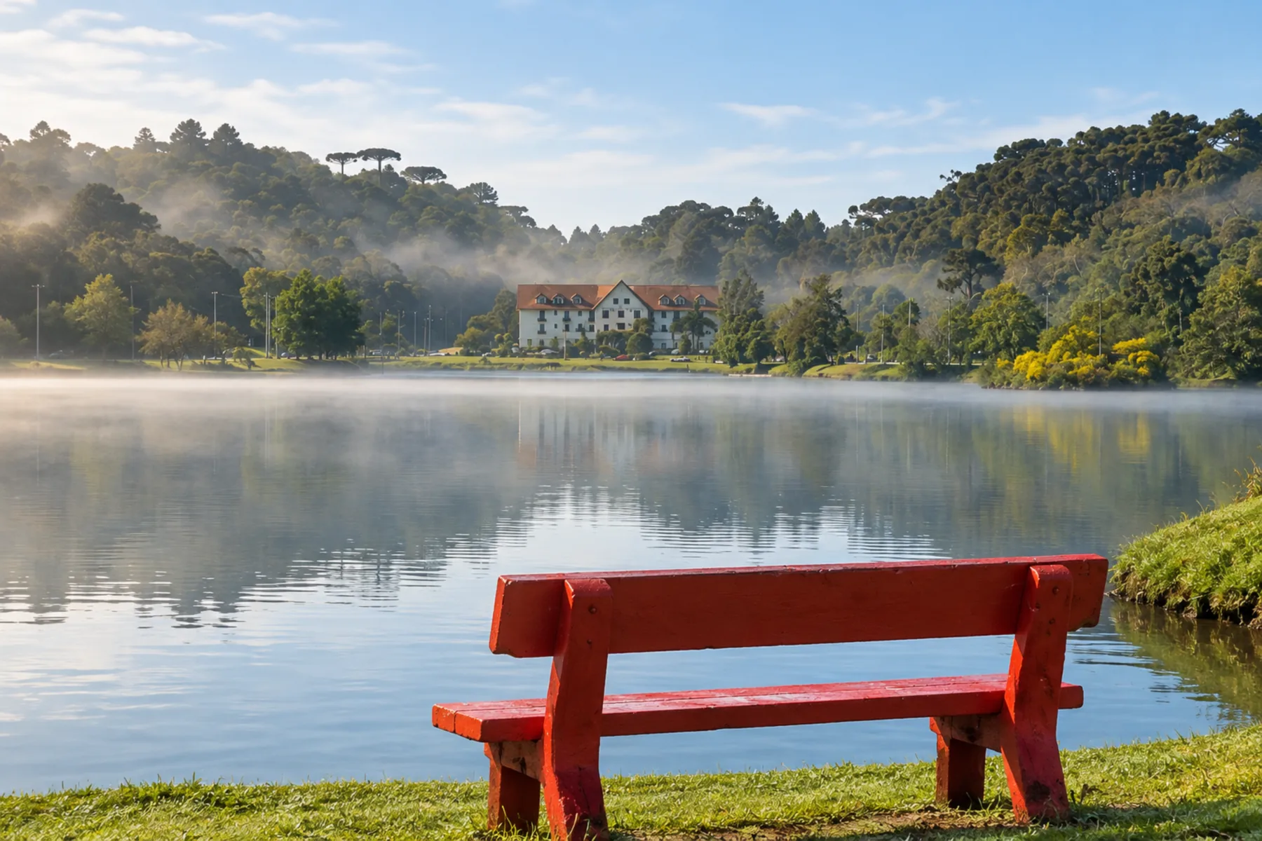
São Francisco de Paula
Base in the Campos de Cima da Serra to conclude this route.
How many days
We suggest seven to ten days to distribute stops and excursions with breaks. With less time, choose part of the route; the duration is an editorial suggestion.
Best time to go
Autumn changes the colors of the plane trees, and spring enhances the gardens' landscape. Cold, rain and fog can alter the pace of the trip. Check the forecast and choose activities according to the conditions.
How to travel it
Organize the trip by road between bases, with local access for each excursion. The sequence passes through municipalities served by different highways; it does not represent a single road. Walks and cycle tourism require consulting the specific circuits and current signage.
Who it's for
For those who want to combine heritage, urban walks and inland Gaúcho landscapes, with different bases and a flexible pace.
Your questions
Frequently asked questions about the Rota Romântica
Do I need to visit all the towns?
No. You can choose part of the route and distribute stops according to your time.
Is the sequence a single road?
No. The itinerary combines road links and detours to visit the municipalities.
Can I use the map for walking or cycling?
No. Walks and cycle routes have their own circuits; check the route and signage for the chosen activity.
Can the trip start from the other side?
Yes. Arrange bases and access according to your arrival point.
Is Porto Alegre a stop on this itinerary?
No. The capital appears on the map as a reference for location and regional arrival.
Do the indicated distances include the excursions?
No. The available values correspond to the connections published on the route map, excluding the access segments for all excursions. Unconfirmed times are left without indication.