
Route · ES
Sea and Mountains Route
From the bay of Vitória to the immigration nuclei and the landscapes of Pedra Azul, a road itinerary through five municipalities in Espírito Santo.
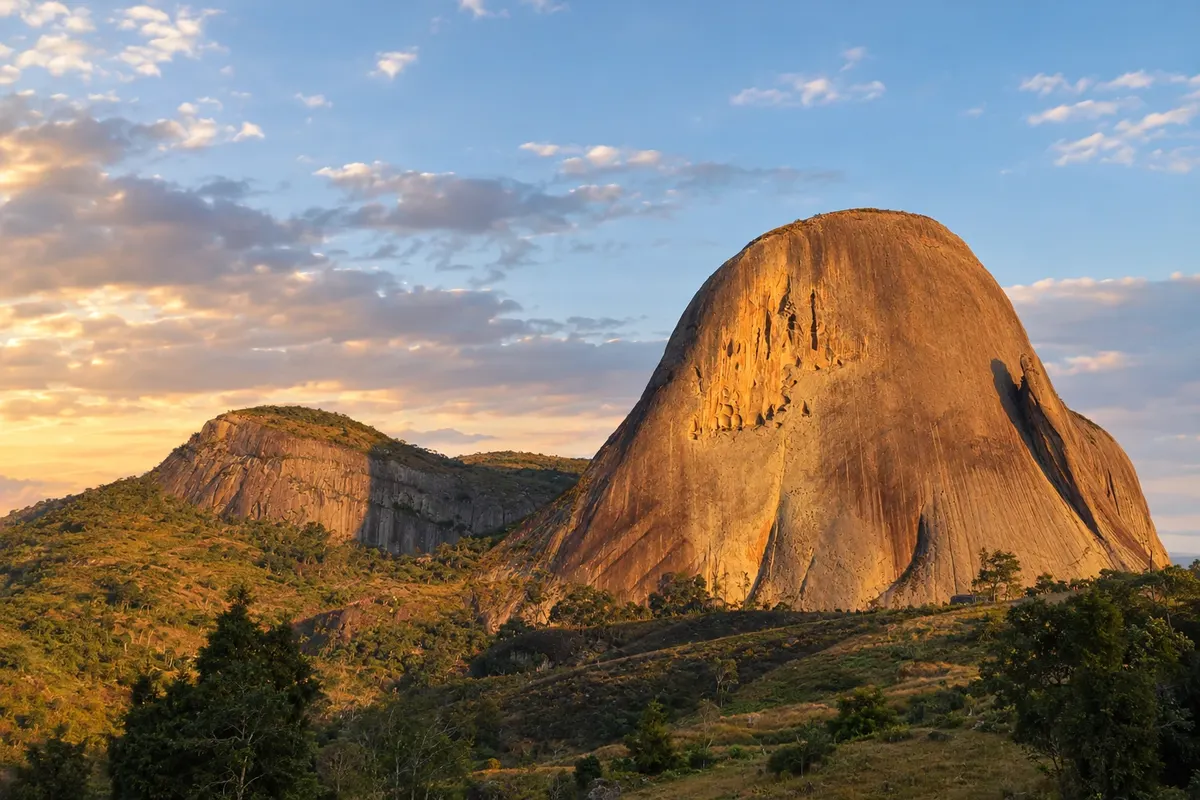
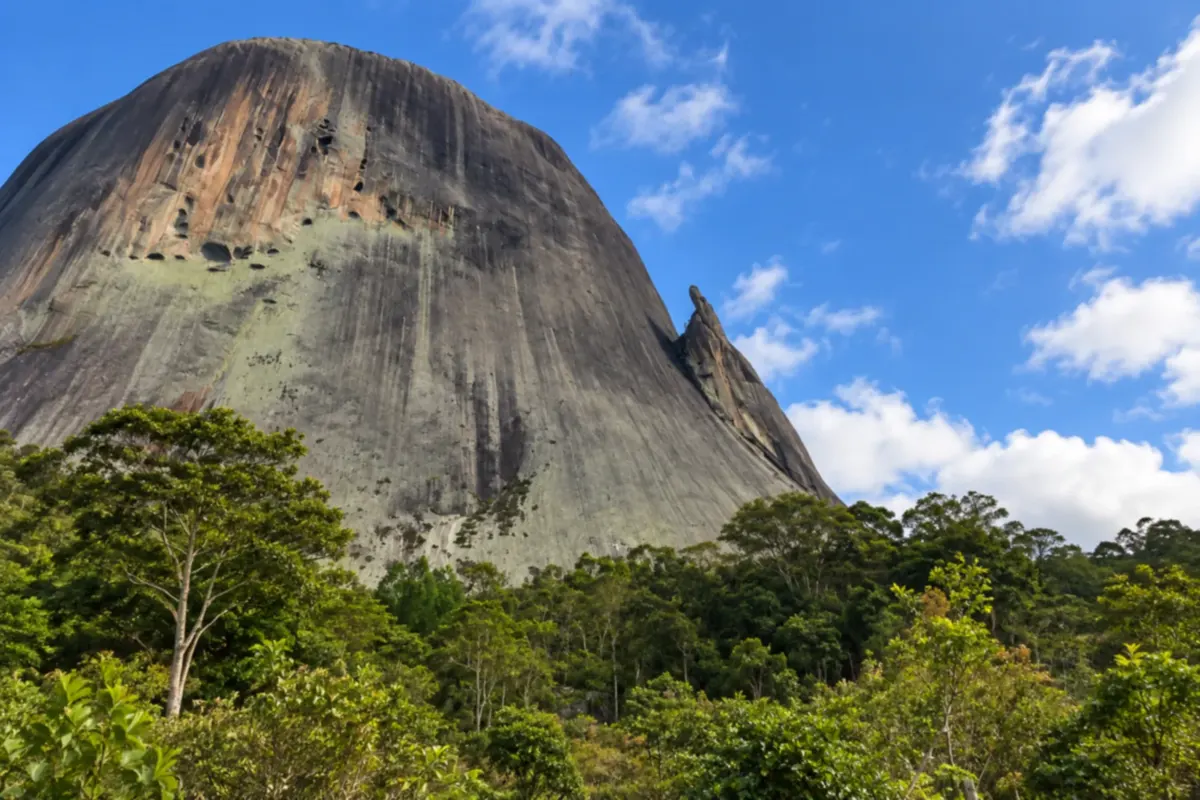
In the photo: Pedra Azul, in Domingos Martins, Espírito Santo.
Illustrative images. The pictures in this guide are illustrations based on the real place, not photographs, and may differ from it.

The route
What the Sea and Mountains Route is
The Rota do Mar e das Montanhas links the capital of Espírito Santo with the mountain interior. The route combines urban life along the bay with religious heritage, memories of immigration and countryside activities.
The suggested sequence starts in Vitória, visits Viana and the seat of Domingos Martins, continues through Marechal Floriano and ends in Venda Nova do Imigrante. The BR-262 structures the trip, but Domingos Martins town center is reached via a branch of the ES-465. Further on, the road returns to that municipality's territory in the Pedra Azul area.
The map is schematic. Visits to communities and cultural sites require specific access arrangements, and Parque Estadual Pedra Azul admits visitors by prior booking. The Rota do Lagarto can be an additional excursion, without creating another municipal stop.
The map
5 cities along the way
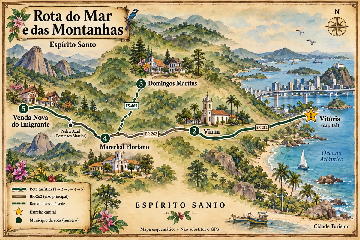
Mapa: @svg-maps/brazil, CC BY 4.0
The journey
City by city
Distances and times are approximate: check before you set off.
-
 1 · ES
Vitória
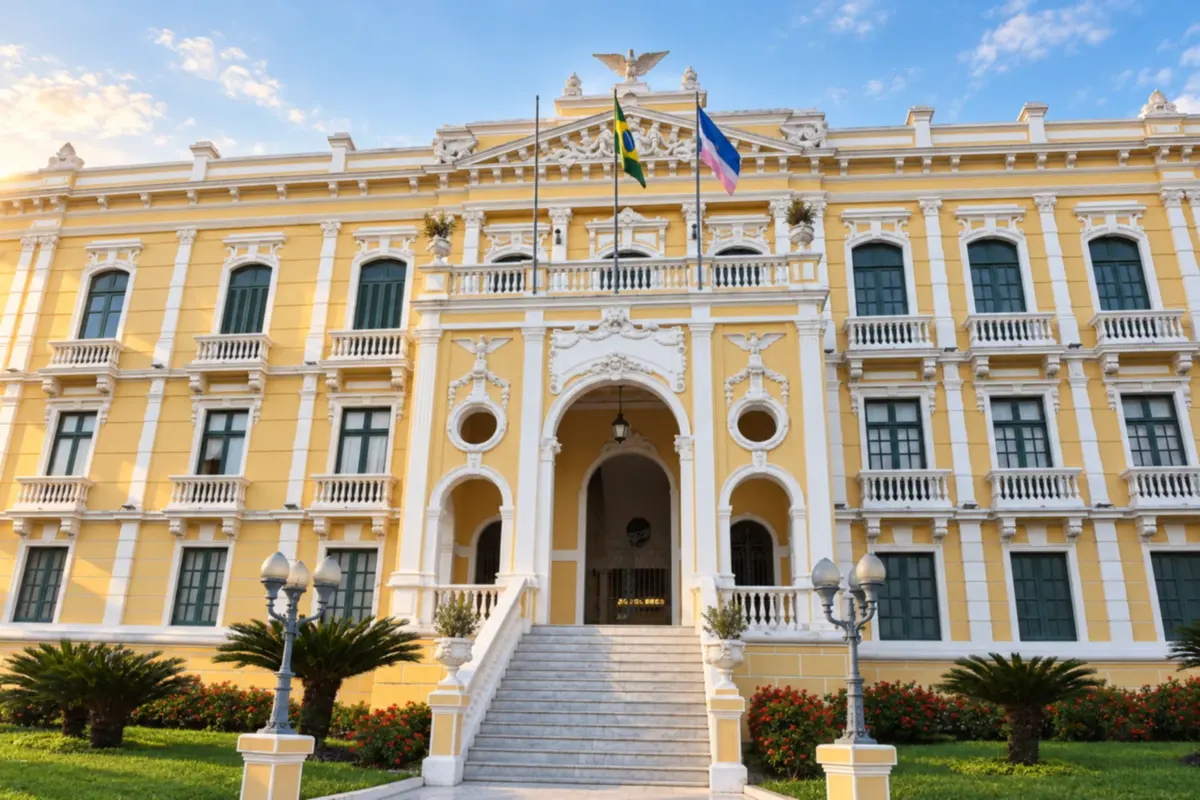
Vitória, the capital of Espírito Santo, combines the bay and Praia de Camburi with the heritage of the Historic Center. Palácio Anchieta records the Jesuit presence, while the Paneleiras de Goiabeiras maintain the artisanal production of clay pots. Urban life and moqueca cuisine provide the content for the start of the trip.
→ Viana Leave the island of Vitória via the metropolitan road network and reach BR-262 through Cariacica toward Viana. The connection combines urban approaches and a paved highway; Cariacica is a pass-through, with no stop on this itinerary.
-
 2 · ES
Viana
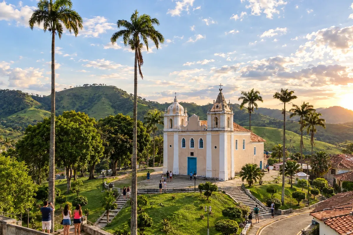
Viana preserves the Igreja Nossa Senhora da Conceição, built by Azorean settlers, and the Jesuit complex of Araçatiba, with the Igreja Nossa Senhora d'Ajuda and its interpretive center. The ruins of Belém and the Mirante da Biquinha broaden the visit between the religious heritage and the municipality's valleys.
→ Domingos Martins BR-262 departs from Viana and climbs into the mountain area. To reach Campinho, the seat of Domingos Martins, leave the federal highway and use the paved access of ES-465; the town center is not located on BR-262.
-
 3 · ES
Domingos Martins
Domingos Martins brings together the Igreja Evangélica de Confissão Luterana and the Casa de Cultura in the Campinho nucleus. In the Pedra Azul area, the rock formation and Parque Estadual Pedra Azul mark a different landscape within the same municipality. The municipal seat requires a detour from BR-262; Pedra Azul appears further along the road axis.
→ Marechal Floriano Return from the seat of Domingos Martins via ES-465 to the junction with BR-262 and continue to Marechal Floriano. The transfer repeats the access branch before proceeding along the paved federal highway.
-
 4 · ES
Marechal Floriano
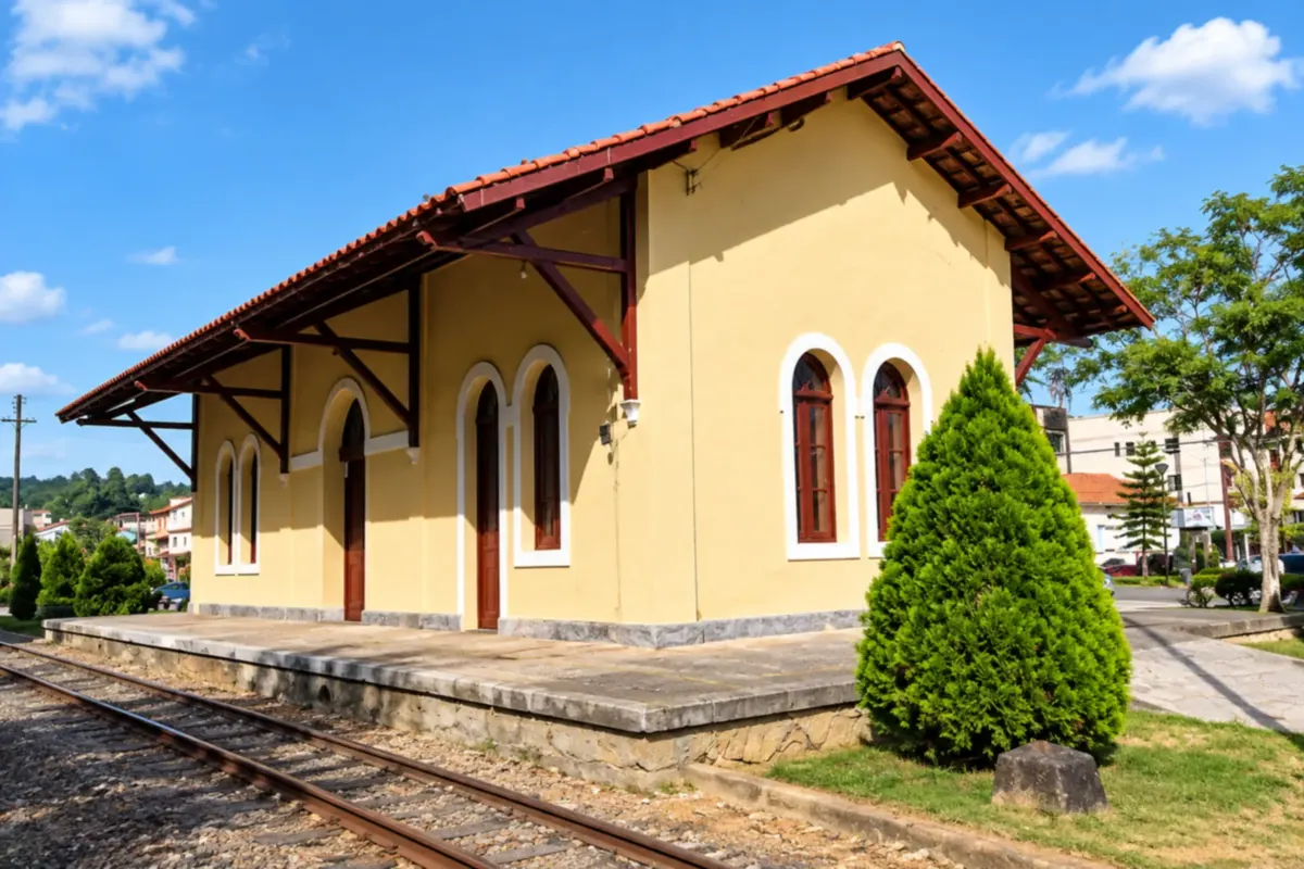
Marechal Floriano preserves at the Estação Ferroviária a collection linked to immigration and the railway. Zoo Park da Montanha carries out conservation and environmental education activities, and the Vila de Araguaya keeps the memory of Italian colonization. The municipal seat is part of the mountain stretch of BR-262.
→ Venda Nova do Imigrante Continue along BR-262, passing Victor Hugo and the Pedra Azul area in Domingos Martins before reaching Venda Nova do Imigrante. The paved stretch crosses mountains; the Rota do Lagarto is a local excursion separate from the main axis.
-
 5 · ES
Venda Nova do Imigrante
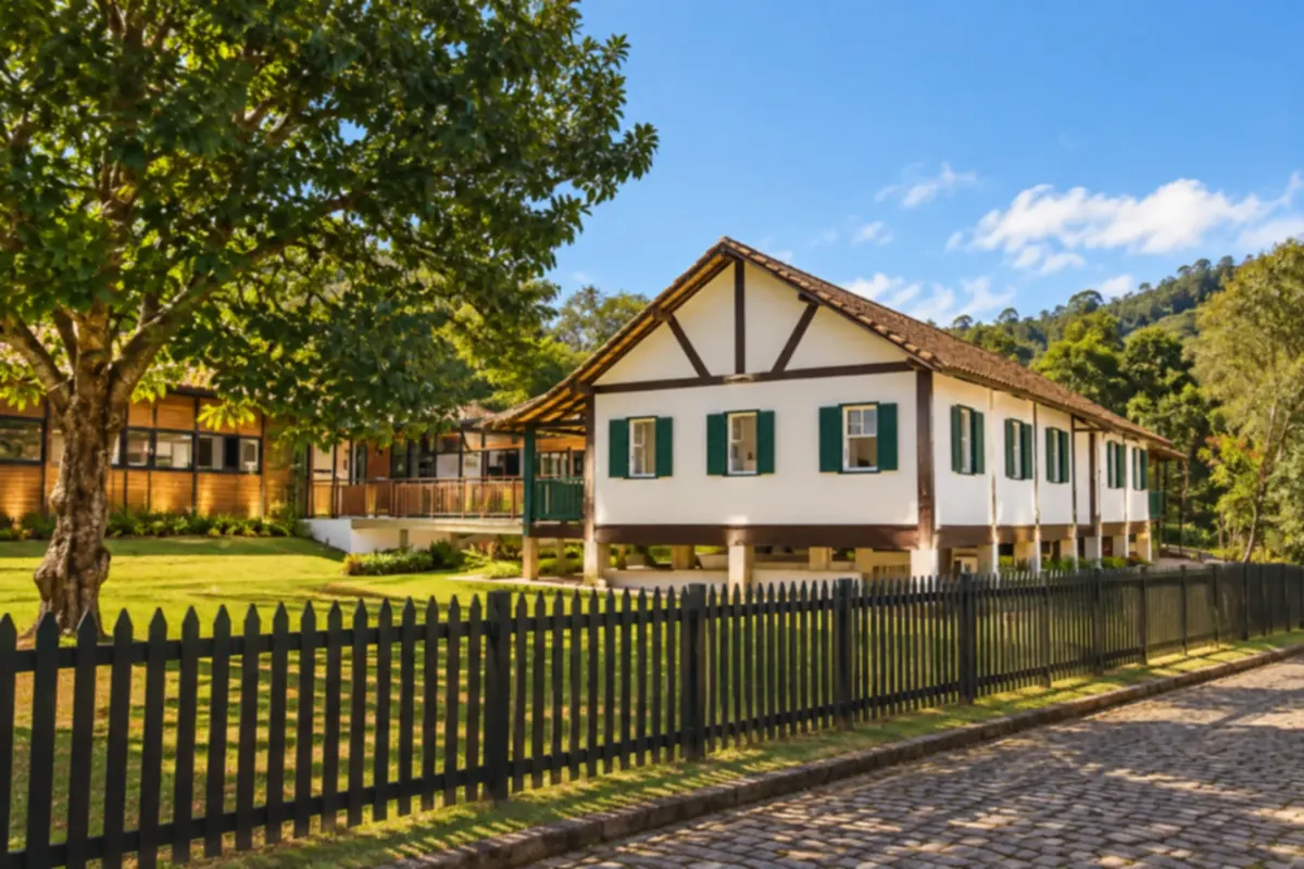
Venda Nova do Imigrante features agrotourism as part of rural life and the identity of its families. Pedra do Rego and Lago de Alto Bananeiras are landscape landmarks; the Festa da Polenta expresses the Italian tradition. The end of the itinerary allows time for rural communities and the accesses that branch off BR-262.
How many days
Allow three to five days as a suggested plan, dividing time between the capital, Viana's heritage and the mountain outings. Hikes and rural visits may require a longer stay.
Best time to go
Days with stable forecasts favor mountain views. Winter usually draws visitors to the mountain region; rain and fog can affect hikes and visibility along the route.
How to travel it
Follow the metropolitan access roads from Vitória, reach Viana and continue along BR-262. Visit Campinho via the ES-465 branch, return to the federal highway and proceed to Marechal Floriano, Pedra Azul and Venda Nova do Imigrante. Local transfers to Araçatiba and rural outings should be planned separately.
Who it's for
For travelers combining urban history, immigration culture and mountain scenery on a trip by car or hired transport. Trails are optional activities, chosen according to visitors' preparedness.
Your questions
Frequently asked questions about the Sea and Mountains Route
Is Pedra Azul a sixth city on the route?
Pedra Azul is in the municipality of Domingos Martins. The locality appears as a reference on the map and in the text for that stop, not as a separate municipality.
Is the seat (town center) of Domingos Martins on BR-262?
Campinho is reached via a branch of ES-465. After the visit, the route returns to the same junction to continue on BR-262.
Does this itinerary include the entire Rota do Lagarto?
The Rota do Lagarto is a local itinerary in the Pedra Azul area. It can be added to the outing, but it does not replace the connection between the five municipalities.
Can the visit to Parque Estadual Pedra Azul be spontaneous?
Visits require prior booking. Confirm the park's availability and guidelines before going.