district
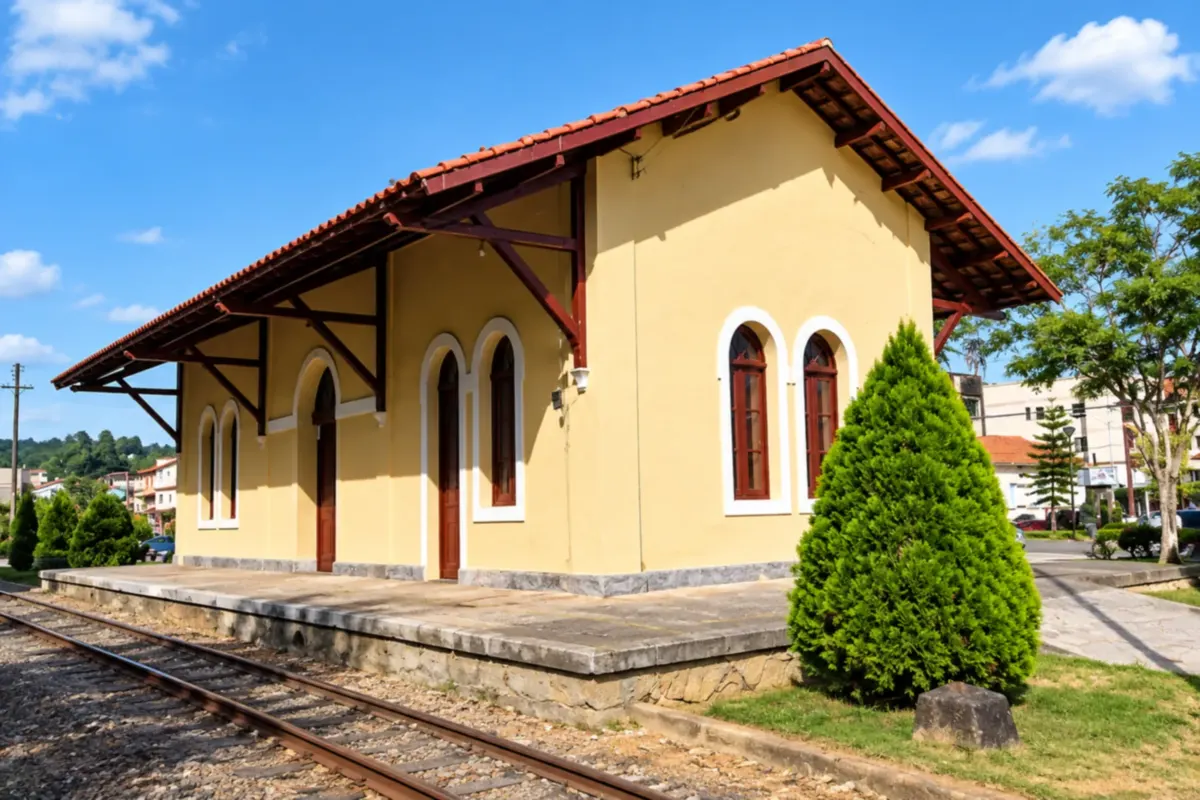
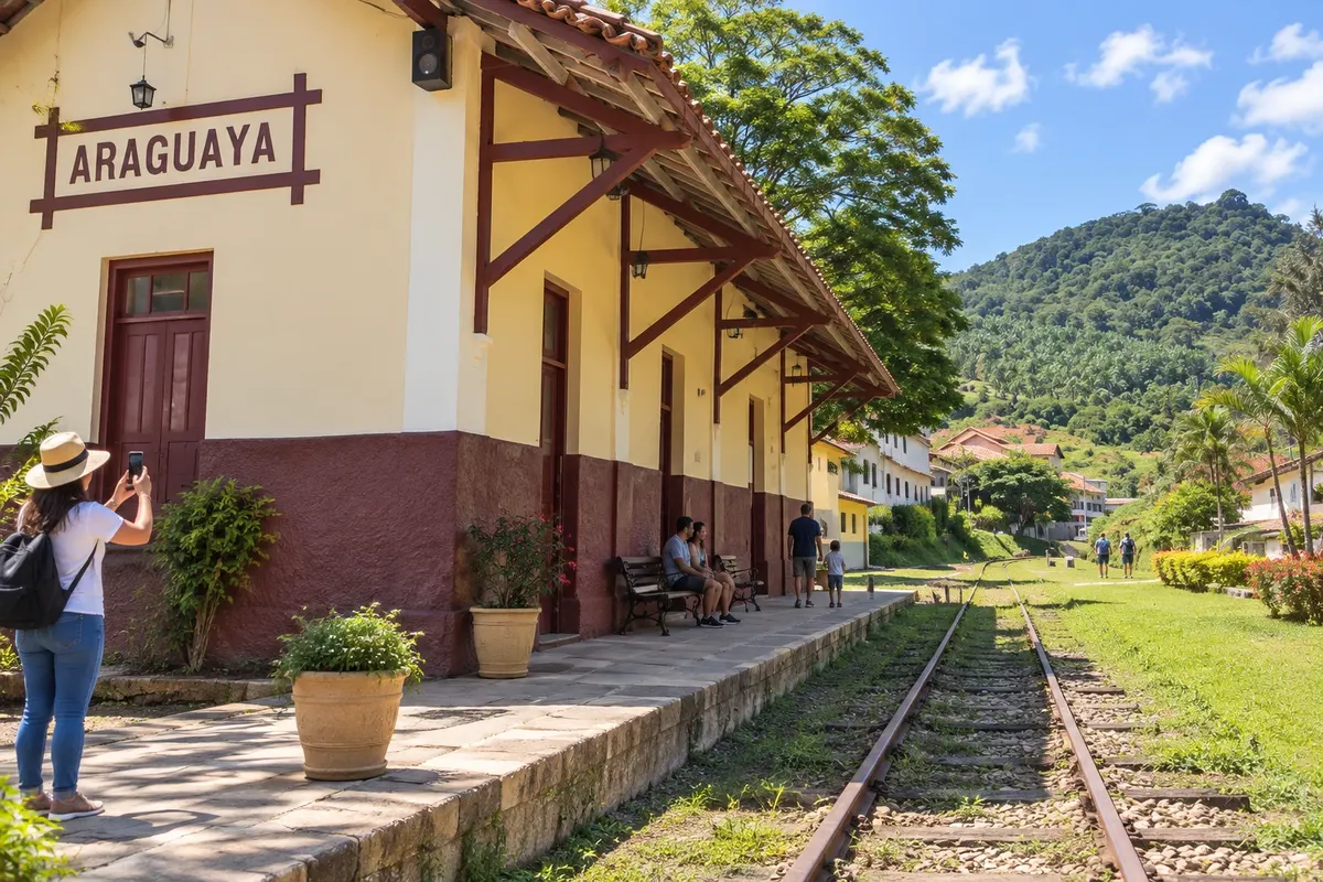
A village settled by Italians, with a 1903 railroad station from the old Leopoldina line, now used for craft exhibitions. It also has the Casa Rosa, with immigrant furniture, and a cultural center with a museum.
Discover Distrito de Araguaia →
waterfall
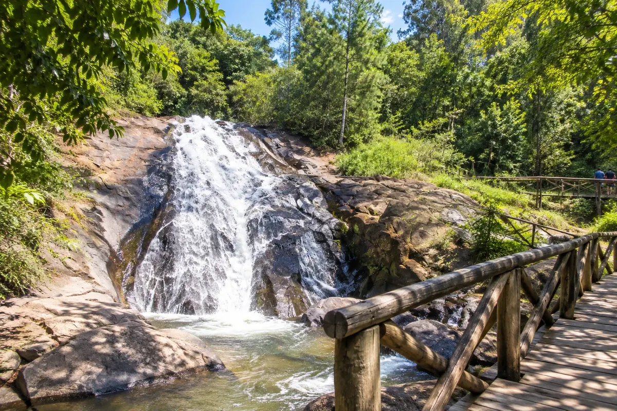
A waterfall of about 30 meters beside km 69.5 of the BR-262, near the district of Victor Hugo. Access is through the grounds of the Casa da Bica restaurant, where wooden bridges over the stream let you see the waterfall up close.
Discover Cachoeira da Bica →
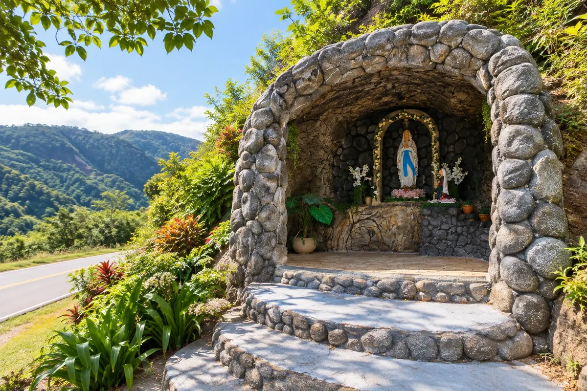
grotto
A natural rock shelter that was home to the first settler of Santa Maria de Marechal. Today it holds images of Nossa Senhora de Lourdes and Santa Bernadete and receives devotees year-round.
Discover Gruta de Nossa Senhora de Lourdes →
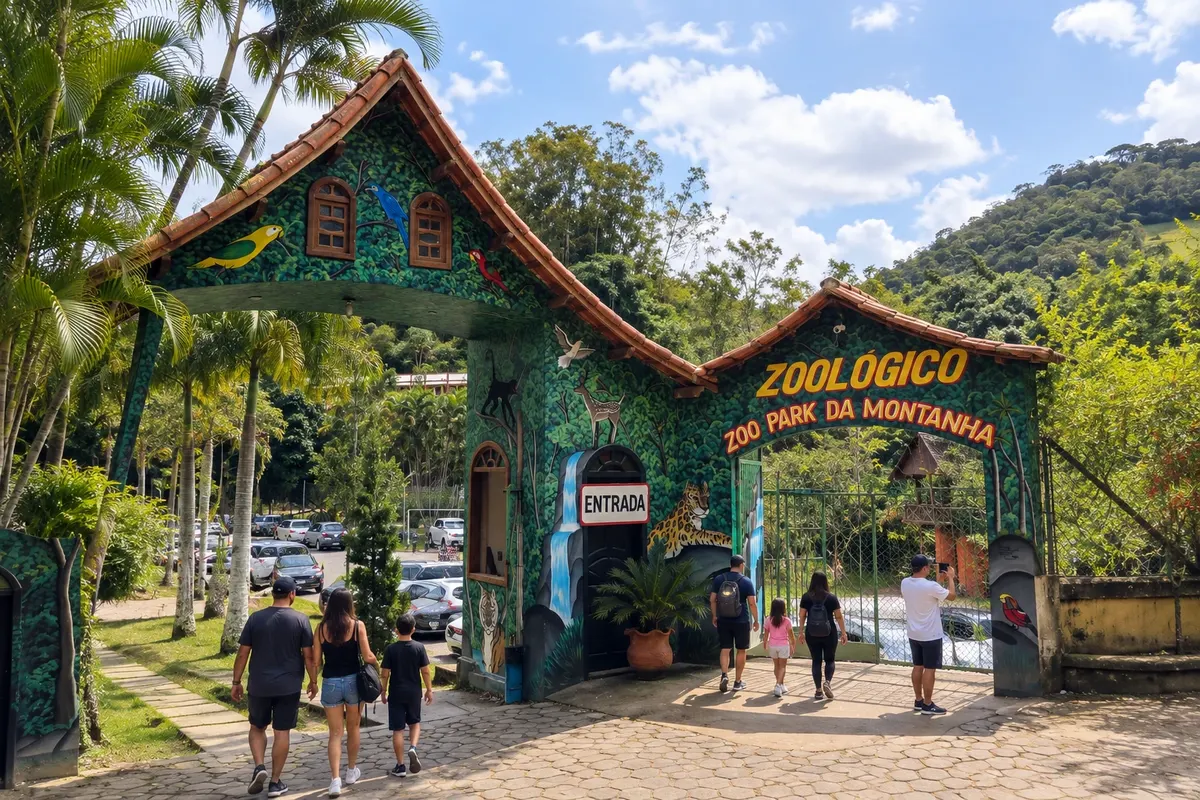
Zoo
Zoo in Rio Fundo, in the rural area of Marechal Floriano. The visit route allows you to observe birds, primates and felines, and to learn about activities focused on wildlife conservation and environmental education.
Discover Zoo Park da Montanha →


 Antarctica
 Argentina
 Bolivia
 Chile
 Colombia
 Ecuador
 Guyana
 French Guiana
 Falkland Islands (Malvinas)
 Paraguay
 Peru
 Suriname
 Uruguay
 Venezuela
 Germany
 Austria
 Belgium
 Croatia
 Denmark
 Slovakia
 Slovenia
 Spain
 Finland
 France
 Greece
 the Netherlands
 Hungary
 Ireland
 Iceland
 Italy
 Luxembourg
 Norway
 Poland
 Portugal
 the United Kingdom
 the Czech Republic
 Sweden
 Switzerland
 Turkey
 Bermuda
 Canada
 the United States
 Greenland
 Mexico
 Saint Pierre and Miquelon
 the Dominican Republic
 Japan
 South Africa
 Egypt
 Australia
 Fiji
 New Zealand
 Papua New Guinea