
Route · SC
Circuito Vale Europeu de Cicloturismo
A bicycle circuit through nine municipalities of Santa Catarina, with dirt roads, immigration heritage and stages in the Região dos Lagos.
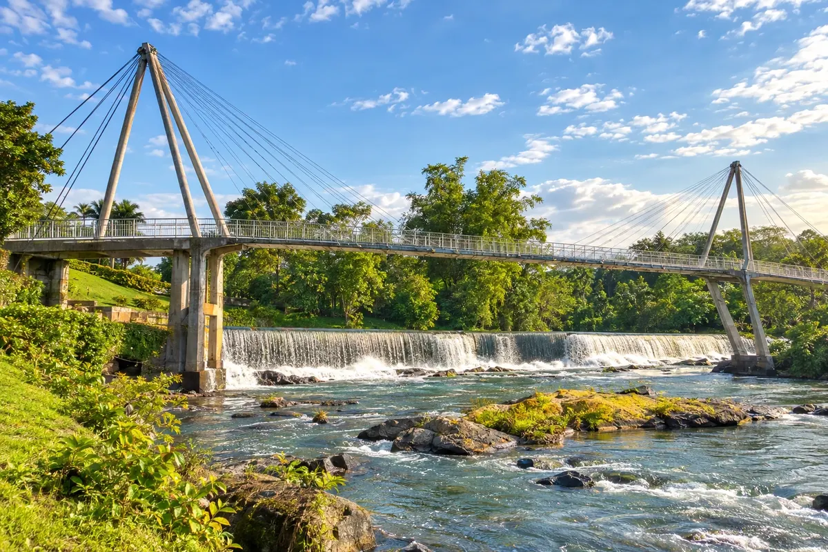
In the photo: crossing over the Rio Benedito at the Complexo Turístico Jardim do Imigrante in Timbó.
Illustrative images. The pictures in this guide are illustrations based on the real place, not photographs, and may differ from it.

The route
What the Circuito Vale Europeu de Cicloturismo is
The Circuito Vale Europeu de Cicloturismo is a bicycle route in the interior of Santa Catarina. Its main loop departs from Timbó and returns to the town, passing through urban areas, dirt roads and paved sections. Climbs, descents and changes of surface require preparation; the sequence of municipalities does not correspond to nine daily stages.
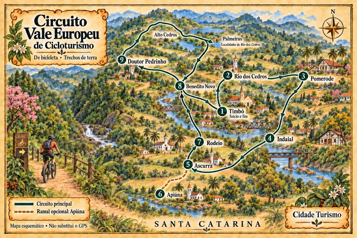
The numbering groups the nine municipalities published by the organizers. Apiúna appears as an optional branch alongside Ascurra, while Rio dos Cedros has an initial passage through the seat and other stages in the Região dos Lagos. Alto Cedros and Palmeiras are localities of that municipality. After the high section, the circuit crosses Benedito Novo again before reaching the Timbó base.
Museums, churches and historic houses help to learn about immigration, and reservoirs and waterfalls show different valley landscapes. These attractions require their own time and access: being in the municipality during the ride does not mean you visited them. The illustrated map shows connections schematically and does not replace navigation with the GPS file of the chosen route.
The map
9 cities along the way
Mapa: @svg-maps/brazil, CC BY 4.0
The journey
City by city
Distances and times are approximate: check before you set off.
-
 1 · SC
Timbó
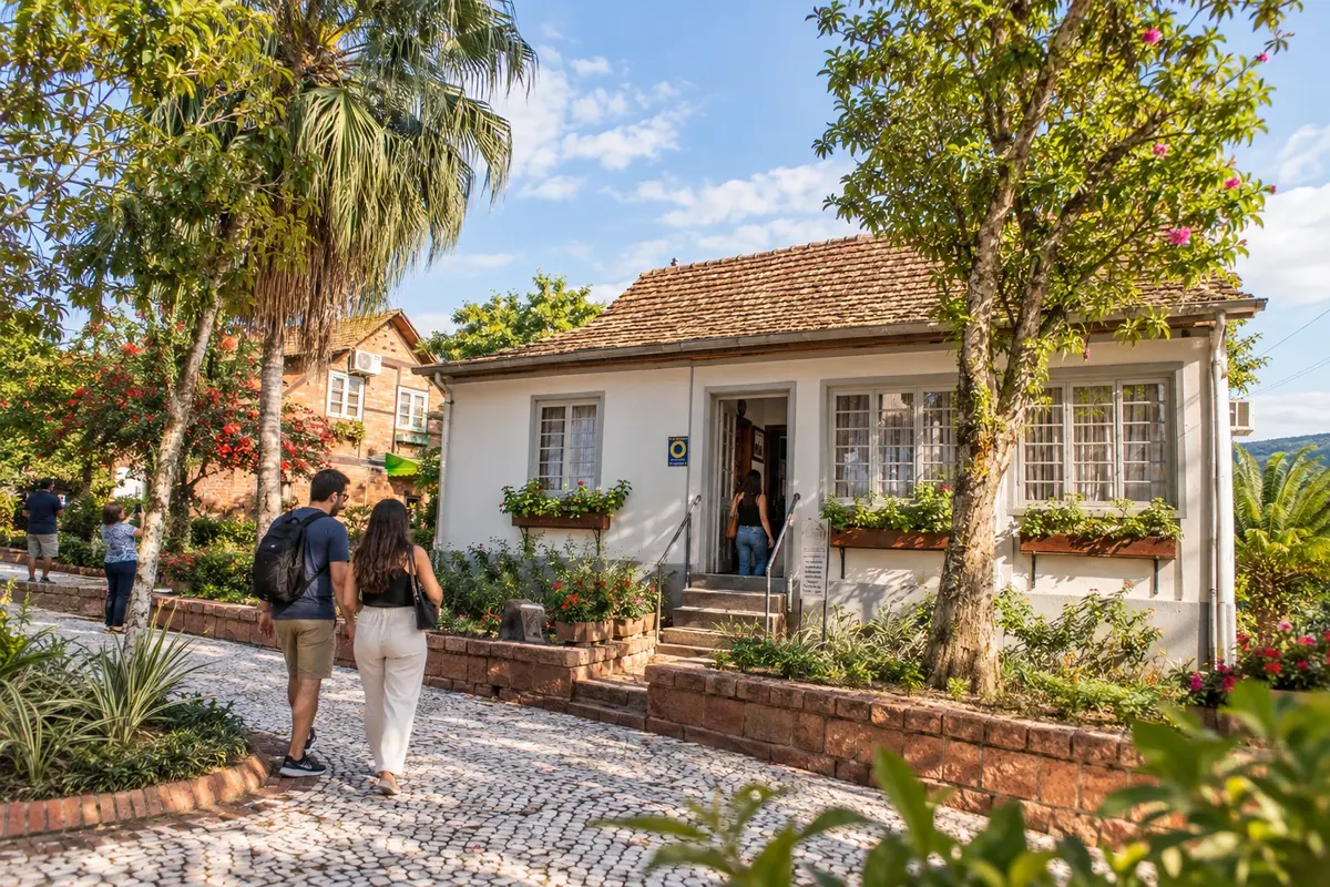
Timbó is the start and return point of the bicycle circuit. Casa Benz houses the Museu do Imigrante, and the Hammermeister hall holds the Museu da Música collection. Jardim Botânico Franz Damm adds a walk by the lake; these visits require their own time, separate from the riding stages.
→ Rio dos Cedros Departure from Timbó along the waymarked route, with urban crossing and rural roads to the seat of Rio dos Cedros. It is part of the first stage of 47,9 km, which covers three municipalities; the distance was not divided among the seats.
-
 2 · SC
Rio dos Cedros
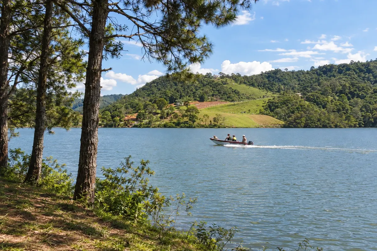
In Rio dos Cedros, the Museu da Imigração displays utensils and tools of the settlers. Represa do Pinhal, in Alto Cedros, and Represa do Rio Bonito, in Palmeiras, are landmarks of the Região dos Lagos. The initial passage goes through the seat; later the circuit returns to the municipality via the high area, using rural access roads.
→ Pomerode Continuation of the first stage to Pomerode, alternating rural dirt roads and paved sections. The published distance belongs to the complete stage covering three municipalities, with no individually confirmed measurement for this connection.
-
 3 · SC
Pomerode
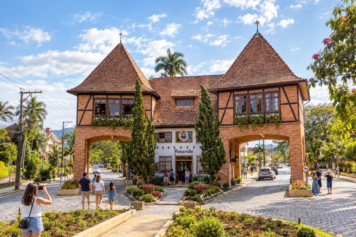
Pomerode features half-timbered houses in Testo Alto and the settlers' memory at the Museu Pomerano. These references help to understand the municipality beyond the ride. The Rota do Enxaimel is a local visit with its own route; one should not assume that all its buildings are part of the circuit stage.
→ Indaial The ride from Pomerode to Indaial follows the circuit's own itinerary, between inhabited areas and rural paths. The distance is shown with a formatting error on the current page; use the GPS file to navigate, and do not treat the highway section as a car stage.
-
 4 · SC
Indaial
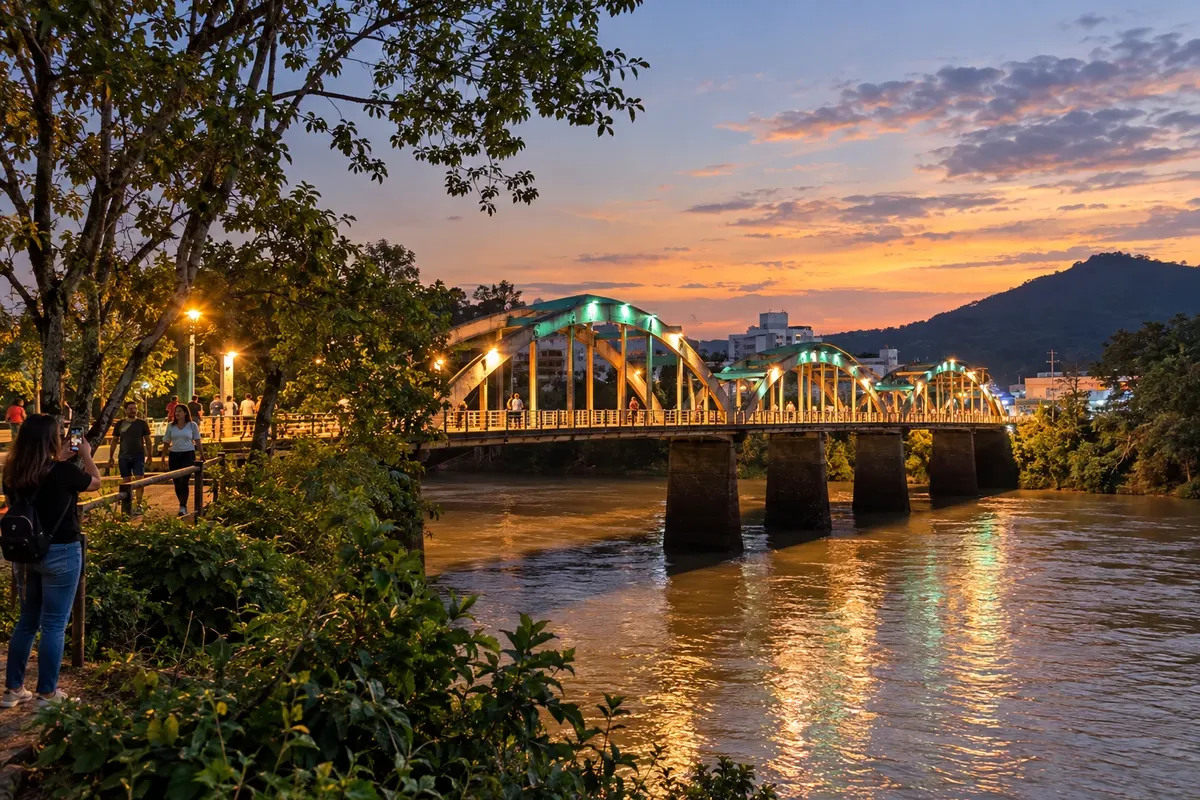
The Ponte dos Arcos marks the crossing of the Itajaí-Açu in Indaial. The Museu Municipal Ferroviário Silvestre Ernesto da Silva occupies the former station and displays objects from railway operations. The chosen bicycle continuation in this route follows the Warnow alternative, between built heritage and rural paths.
→ Ascurra Warnow alternative, between Indaial's rural heritage and the arrival in Ascurra. The route includes dirt surfaces and paved sections; the distance of 22,10 km corresponds to the Warnow version, different from the Encano alternative.
-
 5 · SC
Ascurra
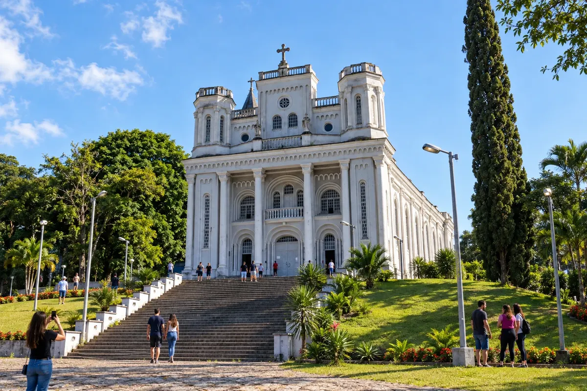
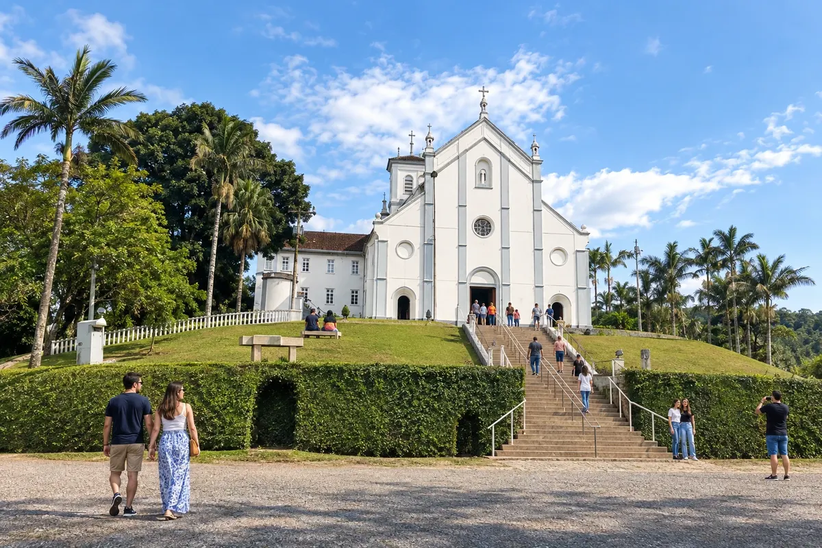
Igreja Matriz Santo Ambrósio and Colégio Salesiano São Paulo are reference points of Ascurra's cultural life. At this point in the ride, the choice between the main circuit and the optional branch must be made before departing. Visiting the matriz requires attention to religious use and the conditions for entering the temple.
→ Apiúna Optional branch Ascurra–Apiúna, 23.21 km, along a cycle-touring itinerary with rural roads. Plan the detour according to your readiness for the ride; choosing it does not make Apiúna an obligatory passage nor create a direct link to Rodeio.
-
 6 · SC
Apiúna
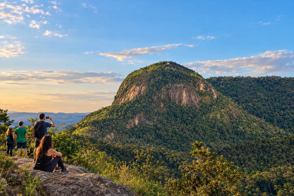
Apiúna participates as an optional branch of the bicycle circuit. The locality of Subida preserves the Maria Fumaça excursion, and Morro Dom Bosco has a chapel at its summit. Cachoeira das Andorinhas expands the nature outings; the cycling detour does not guarantee a visit or entry to any of these points.
→ Ascurra After the Apiúna branch, return to the main circuit at the Ascurra reference point, confirming the return route in your ride planning. There is no separate confirmed distance for this return; the detour does not go directly to Rodeio.
-
 7 · SC
Rodeio
Rodeio showcases Trentino culture at the Circolo Trentino museum and at Matriz São Francisco de Assis, with its fresco Et Incarnatus Est. In Ipiranga, the Caminho dos Anjos gathers sculptures on the slope. Cyclists may devote their arrival to the urban core, leaving Picol Paradis for a separately organized visit.
→ Benedito Novo The departure from Rodeio reaches the rural roads of Benedito Novo in the climbing stage. There are elevation changes and dirt sections; the published 42.9 km cover the stage up to Doutor Pedrinho, with no separate distance for this crossing.
-
 8 · SC
Benedito Novo
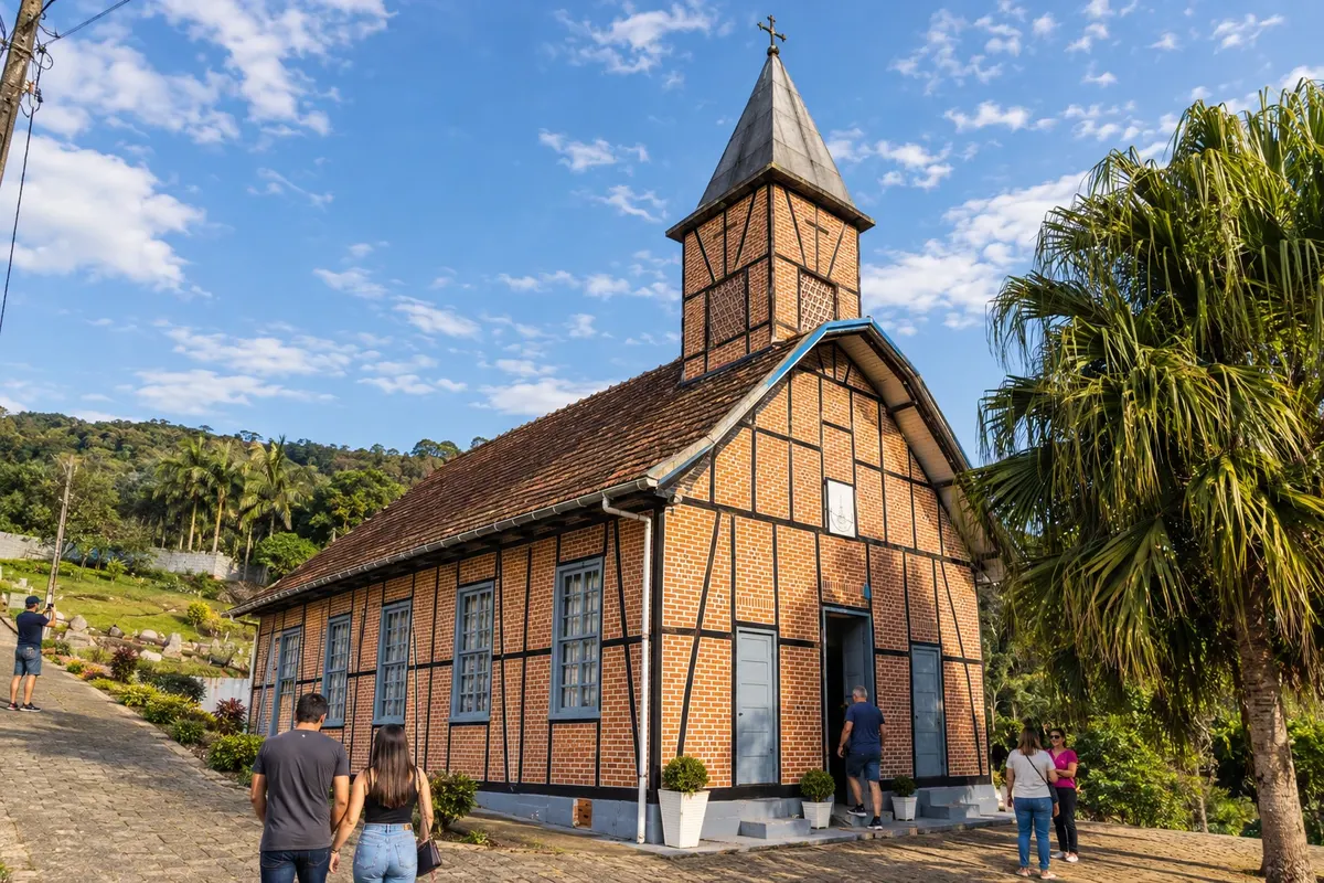
Igreja Evangélica de Ribeirão Liberdade preserves half-timbered structure in Benedito Novo. Cachoeira do Zinco is on private property with visits subject to authorization. The circuit crosses the area on the climb and on the return from the Região dos Lagos, without automatically including access to the waterfall.
→ Doutor Pedrinho From Benedito Novo, the circuit continues through the mountains and rural roads to Doutor Pedrinho. The official measurement combines this climb with the departure from Rodeio; no split between municipalities was calculated, and the effort depends on the terrain and the surface.
-
 9 · SC
Doutor Pedrinho
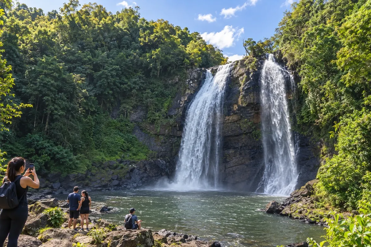
Doutor Pedrinho includes the Véu de Noiva waterfall and the Salto Donner on the Rio Benedito. Capivari preserves the Gruta Nossa Senhora de Fátima, with an altar in the rock shelter. The ride passes through the high part of the valley; visiting these sites requires assessing trails, authorized access and time beyond the cycling stage.
→ Rio dos Cedros Upper-section variant via Véu de Noiva, 32.70 km to Alto Cedros, locality of Rio dos Cedros. The link uses dirt roads and does not end in the urban center; visiting the base of the waterfall requires separate planning.
How many days
The organizers present seven days for the circuit. Add days for cultural visits, hikes or rest; the optional Apiúna branch should be included in the cycling plan and may require extending the trip.
Best time to go
Choose a forecast without heavy rain for dirt roads and descents. In the high section, consider cold and fog; after storms, check for closures and the condition of the surface before starting the stage.
How to travel it
Ride it by bicycle with equipment suited to dirt surfaces: helmet, water, tools and spare parts. Use the GPS file of the chosen alternative and confirm signage and access points. Luggage and transport support must be arranged before the trip; car transfers to attractions are outings separate from the circuit.
Who it's for
For cyclists experienced in stages with climbs, descents and rural surfaces. Beginners should consider shorter routes with specialized support before attempting the entire circuit.
Length
About 300 km
Your questions
Frequently asked questions about the Circuito Vale Europeu de Cicloturismo
Is this Vale Europeu a car route?
The presented route is the Circuito Vale Europeu de Cicloturismo, with bicycle stages and surfaces alternating between dirt, paving and urban sections. Car excursions to the attractions do not substitute the cycling route.
Why is Apiúna on the list of nine municipalities?
Apiúna is included in the organization's list due to an optional branch from Ascurra. The main circuit continues from Ascurra to Rodeio; there is no mandatory Apiúna–Rodeio stage.
Do Alto Cedros and Palmeiras add towns to the itinerary?
Both localities belong to Rio dos Cedros. The municipality appears at the start of the circuit and again in the Região dos Lagos stages, without increasing the list of nine municipalities.
Are the 300 km the sum of the sections on this page?
The number identifies the overall length published for the main circuit. It was not obtained by adding links between centers; stages that cover more than one municipality did not have their distances divided.
Is it possible to follow only the illustrated map?
The map represents the connections schematically. For cycling, use the GPS files, the signage and the information on alternative routes, taking into account changes in access and surface.
Do I need to visit all the attractions during the ride?
Museums, temples, reservoirs and waterfalls have their own opening hours or entry arrangements. Choose visits compatible with your available time and consider additional days for hikes or detours.