
Route · SP,MG
Caminho da Fé
From Águas da Prata to Aparecida, a pilgrimage branch through towns and landscapes of the Mantiqueira.
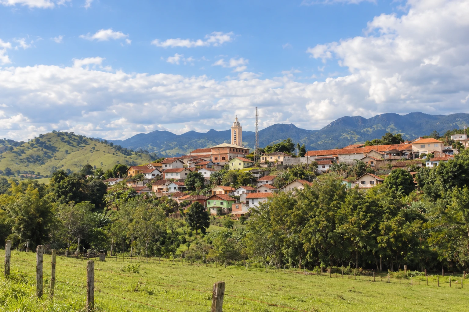
In the photo: Luminosa, district of Brazópolis, in Brazópolis
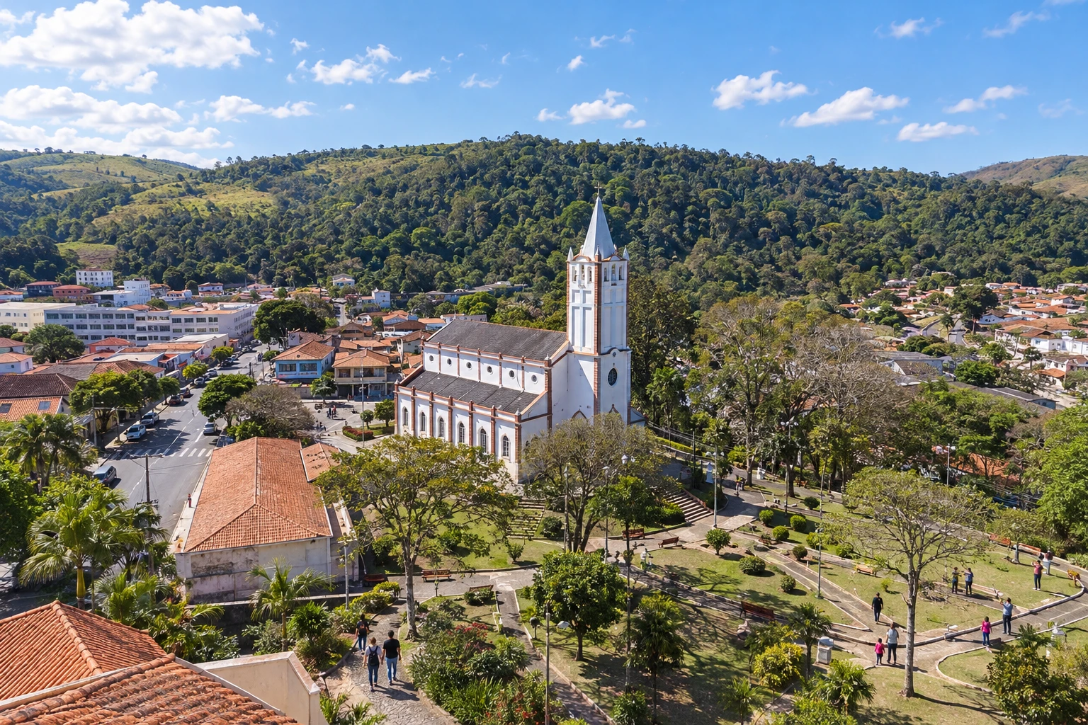
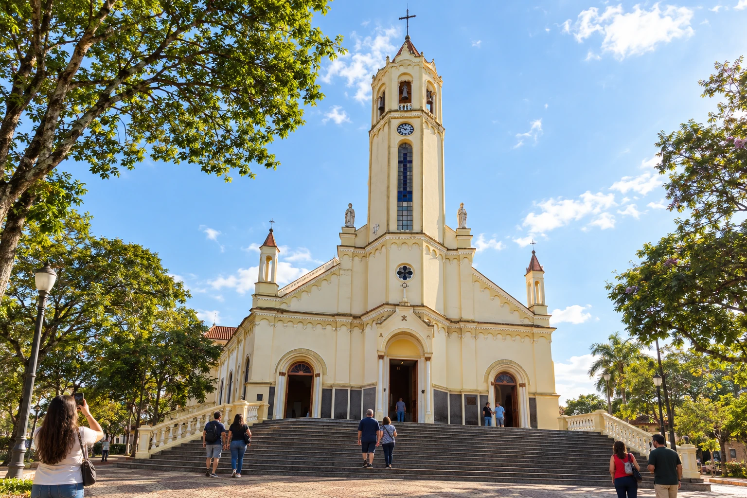
Illustrative images. The pictures in this guide are illustrations based on the real place, not photographs, and may differ from it.

The route
What the Caminho da Fé is
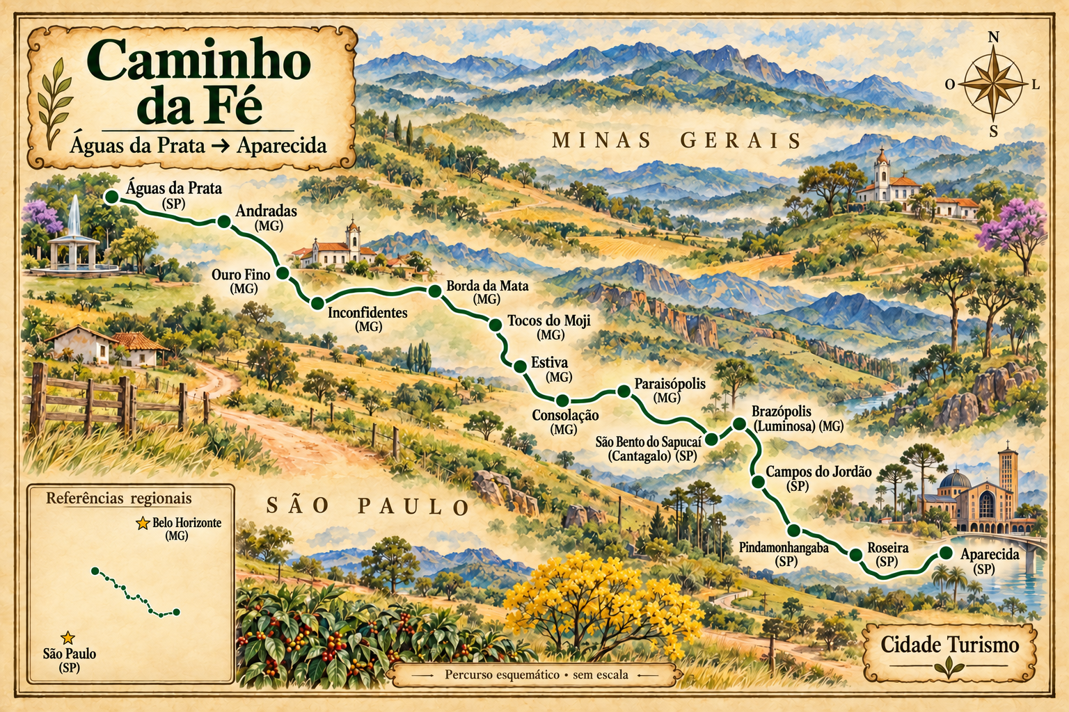
The Caminho da Fé brings together pilgrimage branches that reach Aparecida. This route follows the Águas da Prata branch, crosses southern Minas and the Serra da Mantiqueira and returns to the Paraíba Valley.
The sequence goes through Andradas, Ouro Fino, Inconfidentes, Borda da Mata, Tocos do Moji, Estiva, Consolação and Paraisópolis. It includes Cantagalo, in São Bento do Sapucaí, and Luminosa, a district of Brazópolis. Those localities belong to the municipalities indicated; the trail does not require a visit to all municipal seats.
From Campos do Jordão, this route follows the arrival option via Piracuama, the center of Pindamonhangaba and Roseira to Aparecida. There are other options via Ribeirão Grande and Potim or via Gomeral and Pedrinhas; they were not mixed with the sequence presented here.
The route combines rural roads, dirt sections and asphalt transitions. Walking or cycling requires planning of stages, support and accommodation. Support vehicles may need their own detours.
The map
15 cities along the way
The journey
City by city
Distances and times are approximate: check before you set off.
-
 1 · SP
Águas da Prata
Starting point of this branch, before the passage into Minas Gerais.
→ Andradas about 30 km From Águas da Prata to Andradas, the branch crosses the Pico do Gavião region. Prepare water and food: there is an alert for lack of support on this stage and for traffic approaching Andradas.
-
 2 · MG
Andradas
First Minas Gerais town on the branch, with a rural continuation through the Serra dos Lima.
→ Ouro Fino From Andradas, the route continues through the Serra dos Lima and Crisólia before Ouro Fino. The connection crosses rural localities; watch for vehicles on the Serra dos Lima.
-
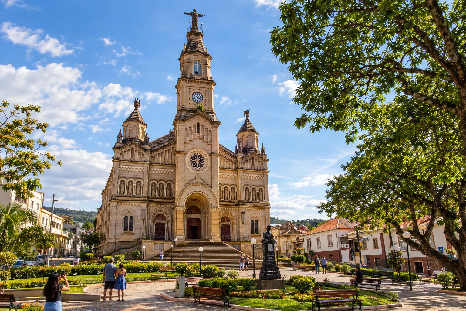 3 · MG
Ouro Fino
The passage includes Crisólia before arriving at the municipal seat.
→ Inconfidentes about 10 km Ouro Fino and Inconfidentes are consecutive stages of the main branch. The walk leaves Ouro Fino’s core heading to another city in southern Minas; follow the pilgrimage markings and do not replace them with the road connection.
-
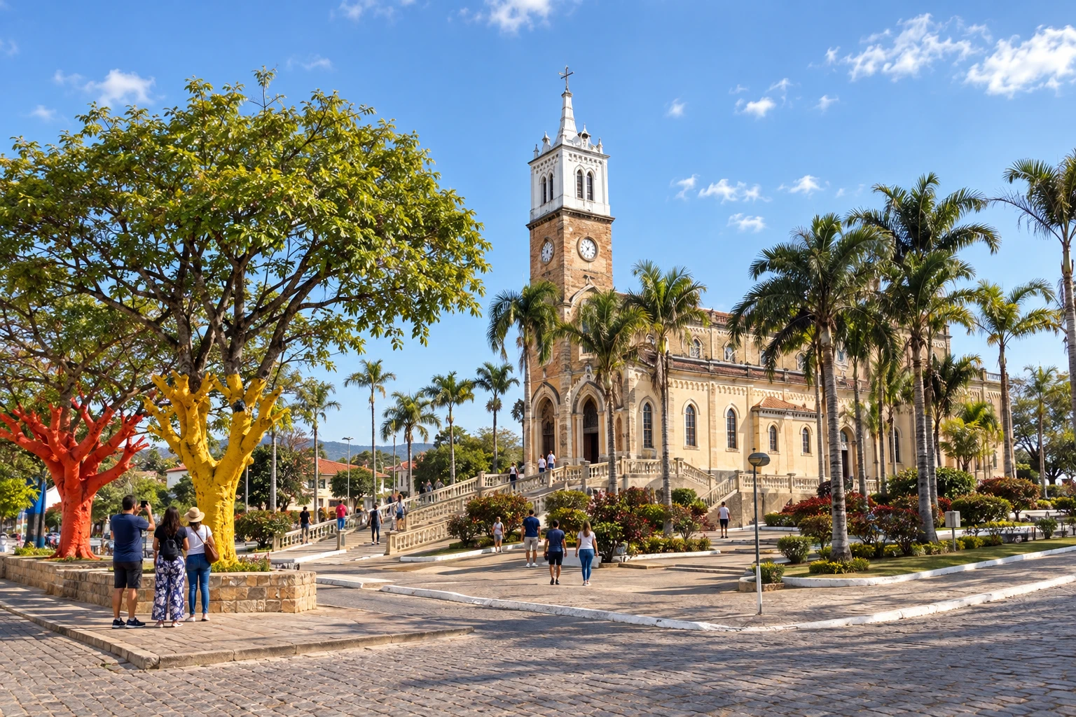 4 · MG
Inconfidentes
Stop between Ouro Fino and Borda da Mata on the main branch.
→ Borda da Mata about 20 km The continuation from Inconfidentes reaches Borda da Mata via the main branch. The basilica marks the urban visit on arrival; the pilgrimage route uses rural roads and asphalt transitions.
-
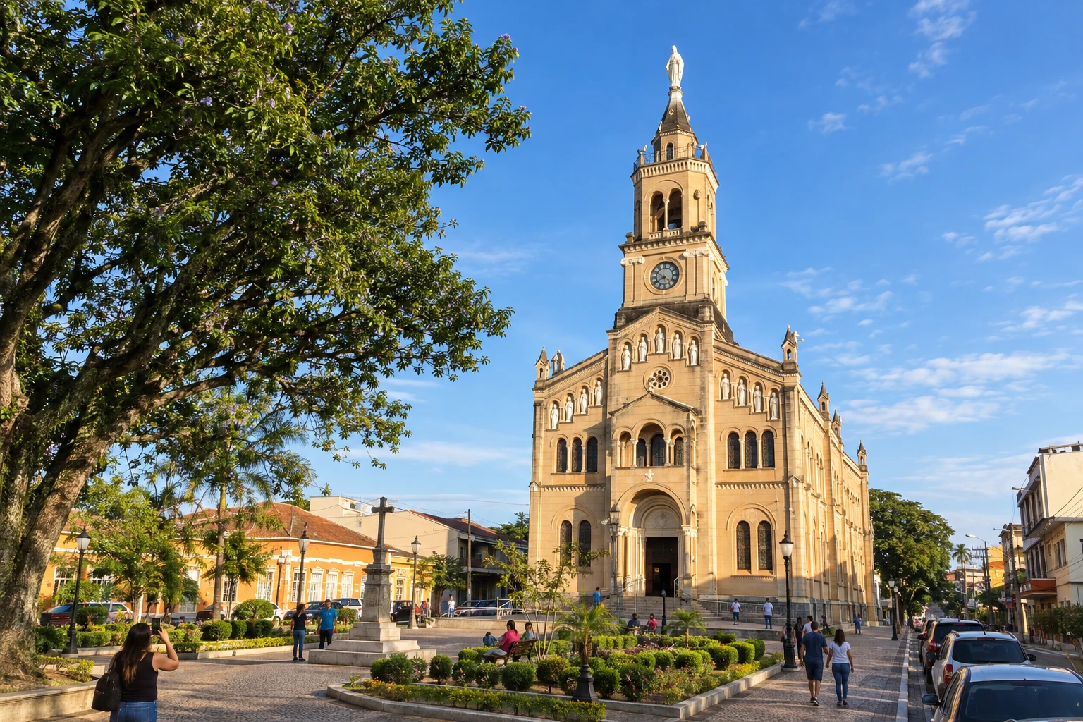 5 · MG
Borda da Mata
The basilica and the central area allow you to organize a stop before Tocos do Moji.
→ Tocos do Moji about 18 km From Borda da Mata, the trail continues to Tocos do Moji in the rural landscape of the Mantiqueira. Note the conditions of narrow passages and bridges, characteristics of the branch.
-
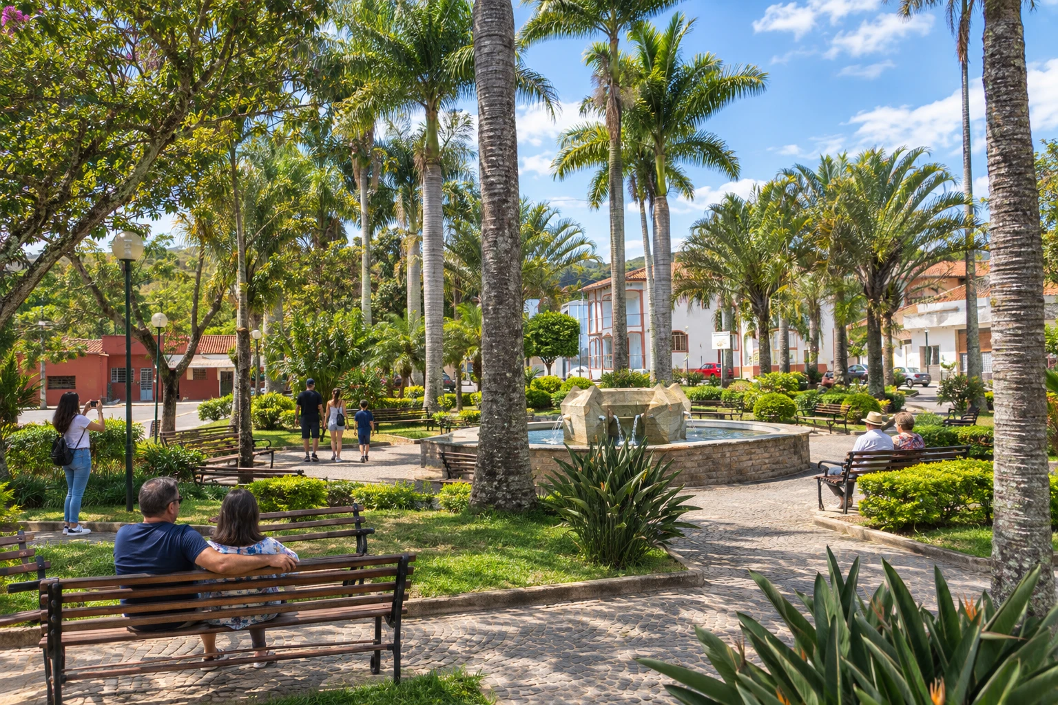 6 · MG
Tocos do Moji
Stop between Borda da Mata and Estiva, on a stretch of rural landscape.
→ Estiva about 22 km Tocos do Moji and Estiva are linked by the waymarked trail of the main branch, in a rural setting. Plan support for the walk before reaching the town known for strawberry production.
-
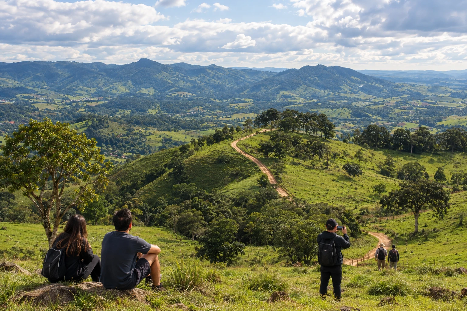 7 · MG
Estiva
Stop before continuing through the Serra do Caçador toward Consolação.
→ Consolação about 19 km From Estiva to Consolação, the passage includes the Caçador neighborhood. It is a mountain stage that should be organized according to trail conditions and the chosen lodging point.
-
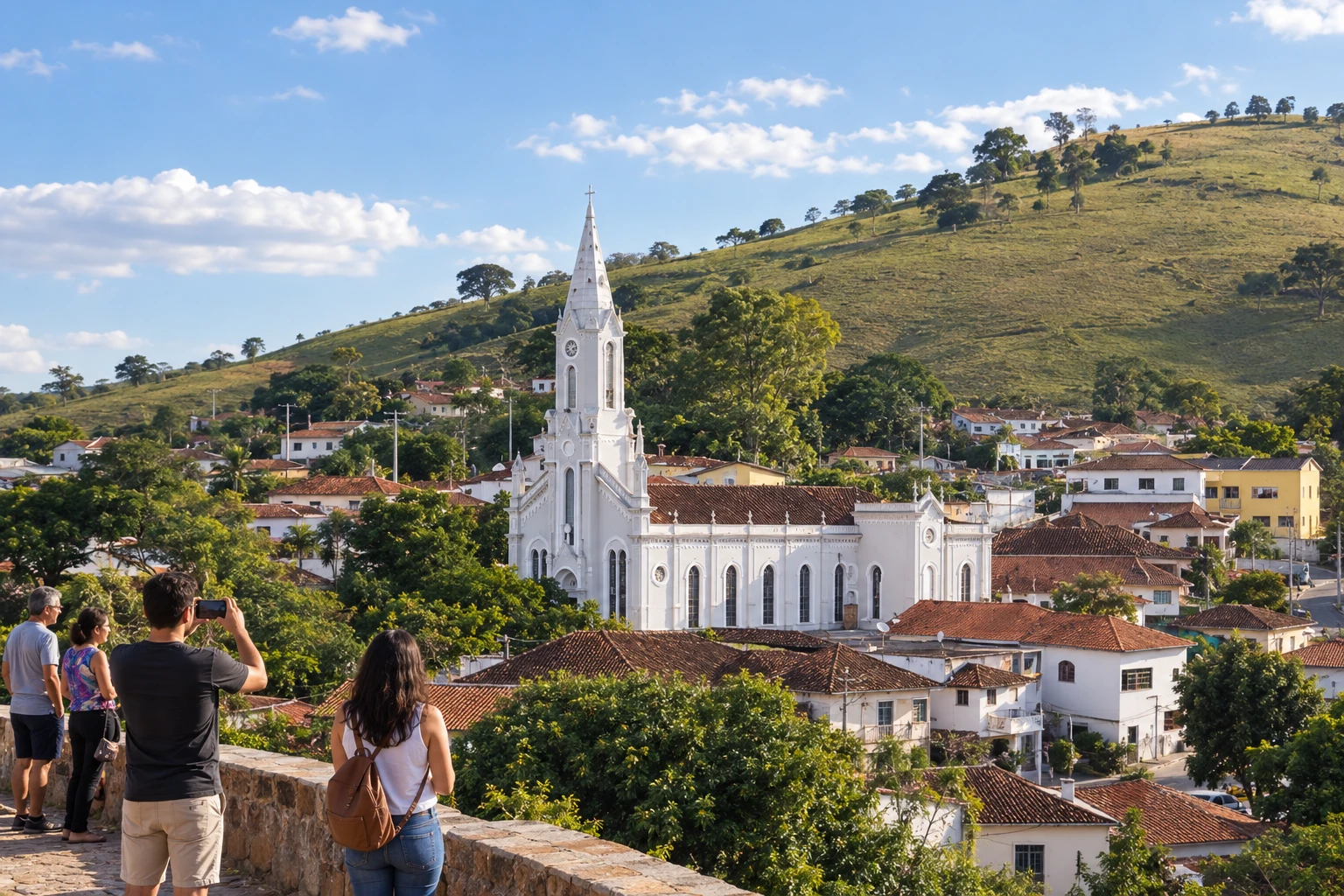 8 · MG
Consolação
Stop between Estiva and Paraisópolis on the route through the Mantiqueira.
→ Paraisópolis about 21 km Consolação and Paraisópolis are consecutive stages through the Mantiqueira. The branch combines rural roads and asphalt transition sections; reception at the municipal seat should be distinguished from support points on the trail.
-
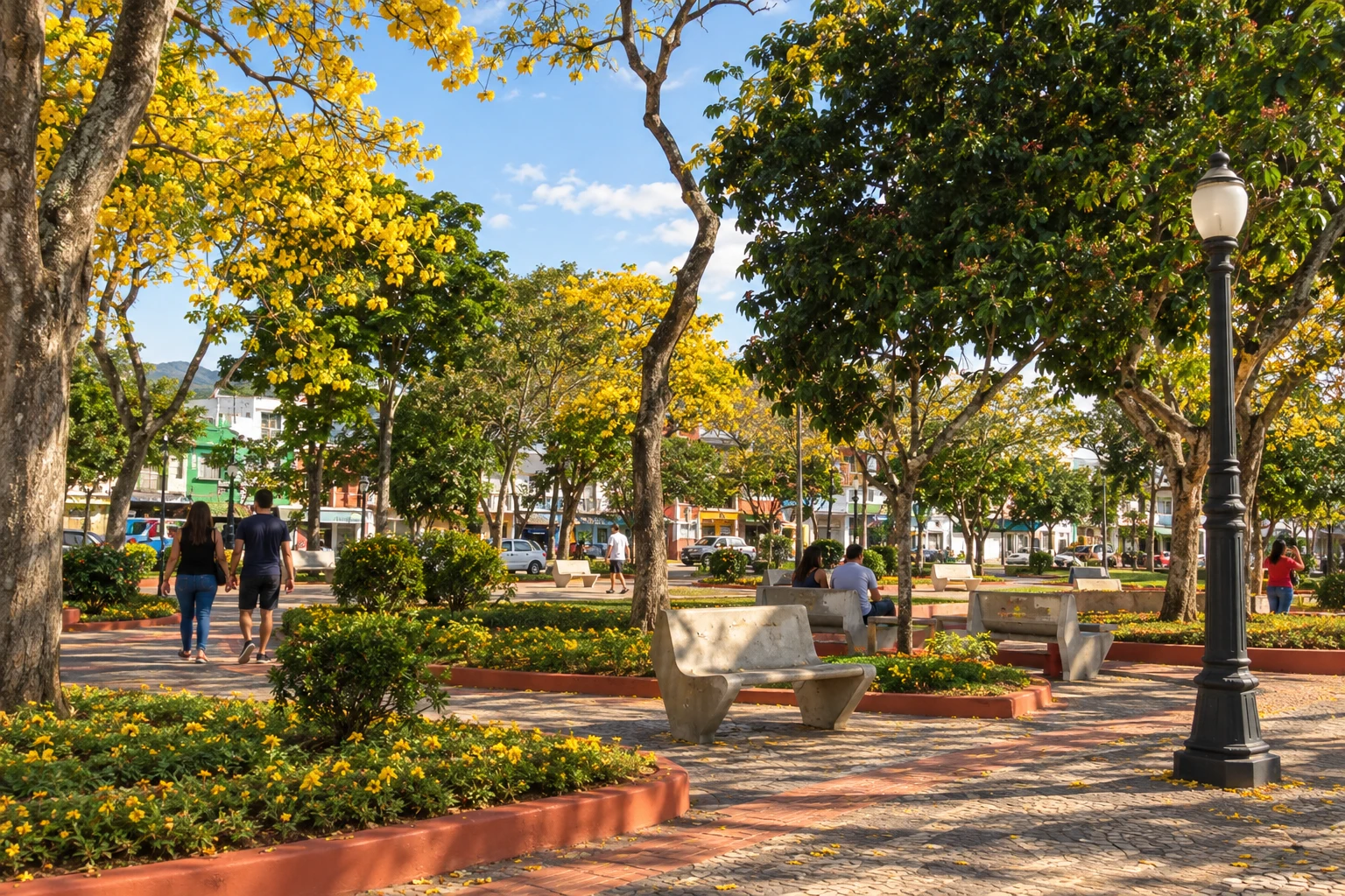 9 · MG
Paraisópolis
Base before passing through Cantagalo, in São Bento do Sapucaí.
→ São Bento do Sapucaí about 18 km From Paraisópolis, the route reaches the Cantagalo neighborhood in São Bento do Sapucaí. That rural passage does not correspond to a mandatory visit to the municipal center.
-
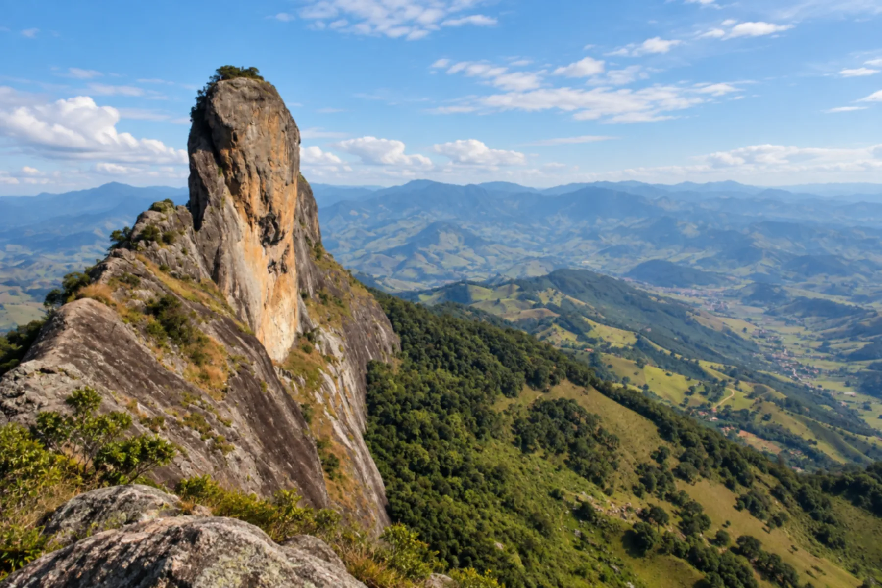 10 · SP
São Bento do Sapucaí
The route goes through Cantagalo, in the municipality of São Bento do Sapucaí; do not confuse this with a mandatory visit to the municipal center.
→ Brazópolis about 7 km Follow the marked branch between Cantagalo and Luminosa; the distance corresponds to the localities, not to the municipal seats.
-
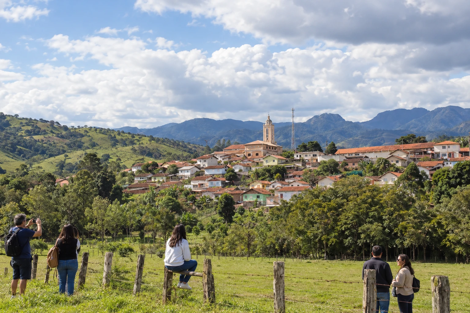 11 · MG
Brazópolis
The branch passes through Luminosa, a district of Brazópolis, before the climb toward Campos do Jordão.
→ Campos do Jordão From Luminosa, a district of Brazópolis, the branch climbs toward Campos do Jordão. Support vehicles need their own detour on an unpaved road; they do not automatically follow the pilgrims’ trail.
-
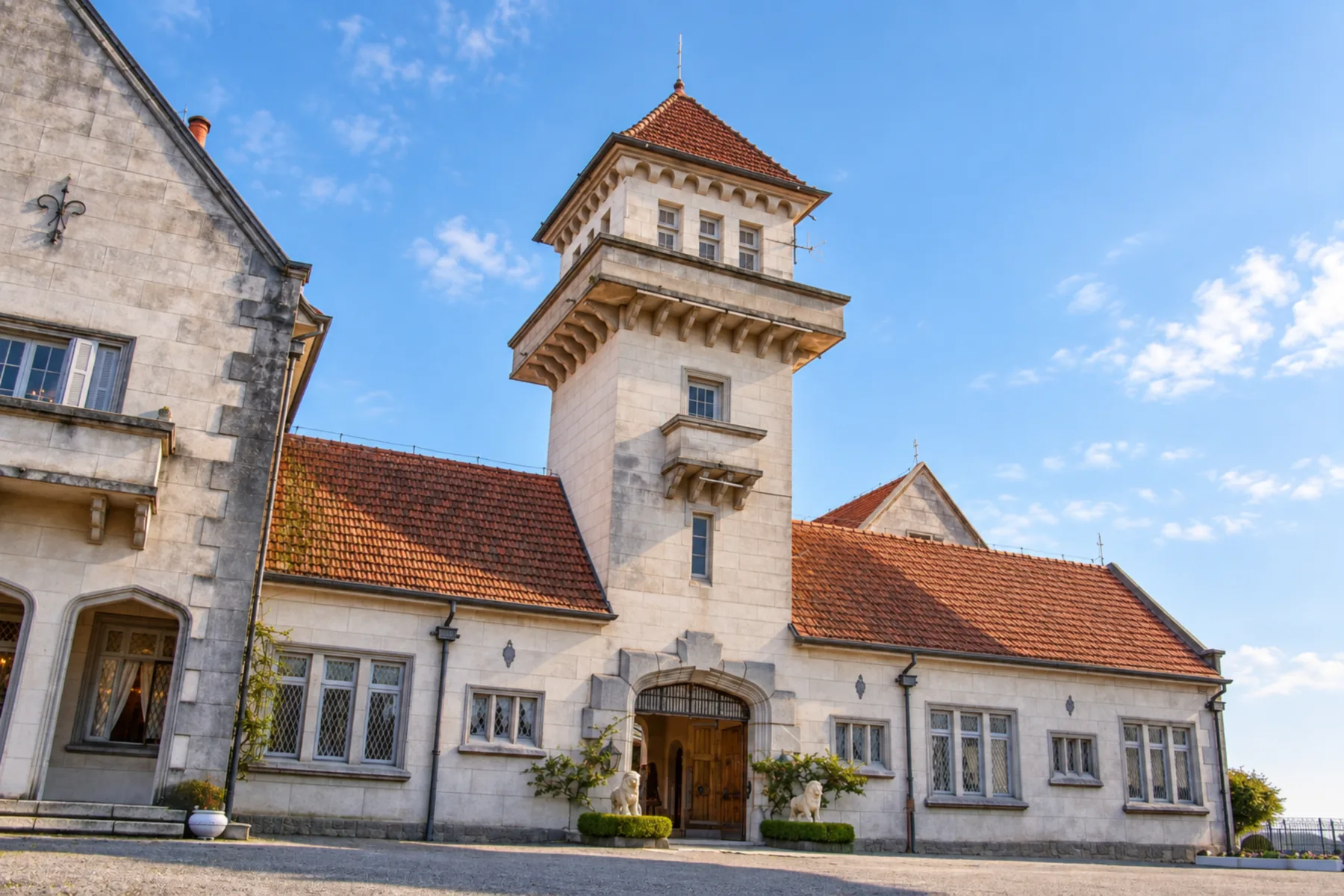 12 · SP
Campos do Jordão
Passage through the Mantiqueira before descending to Piracuama in the chosen option.
→ Pindamonhangaba The presented option descends from Campos do Jordão via Piracuama, in Pindamonhangaba. At the bifurcation of finish routes, keep the option through the municipal center and do not follow toward Gomeral.
-
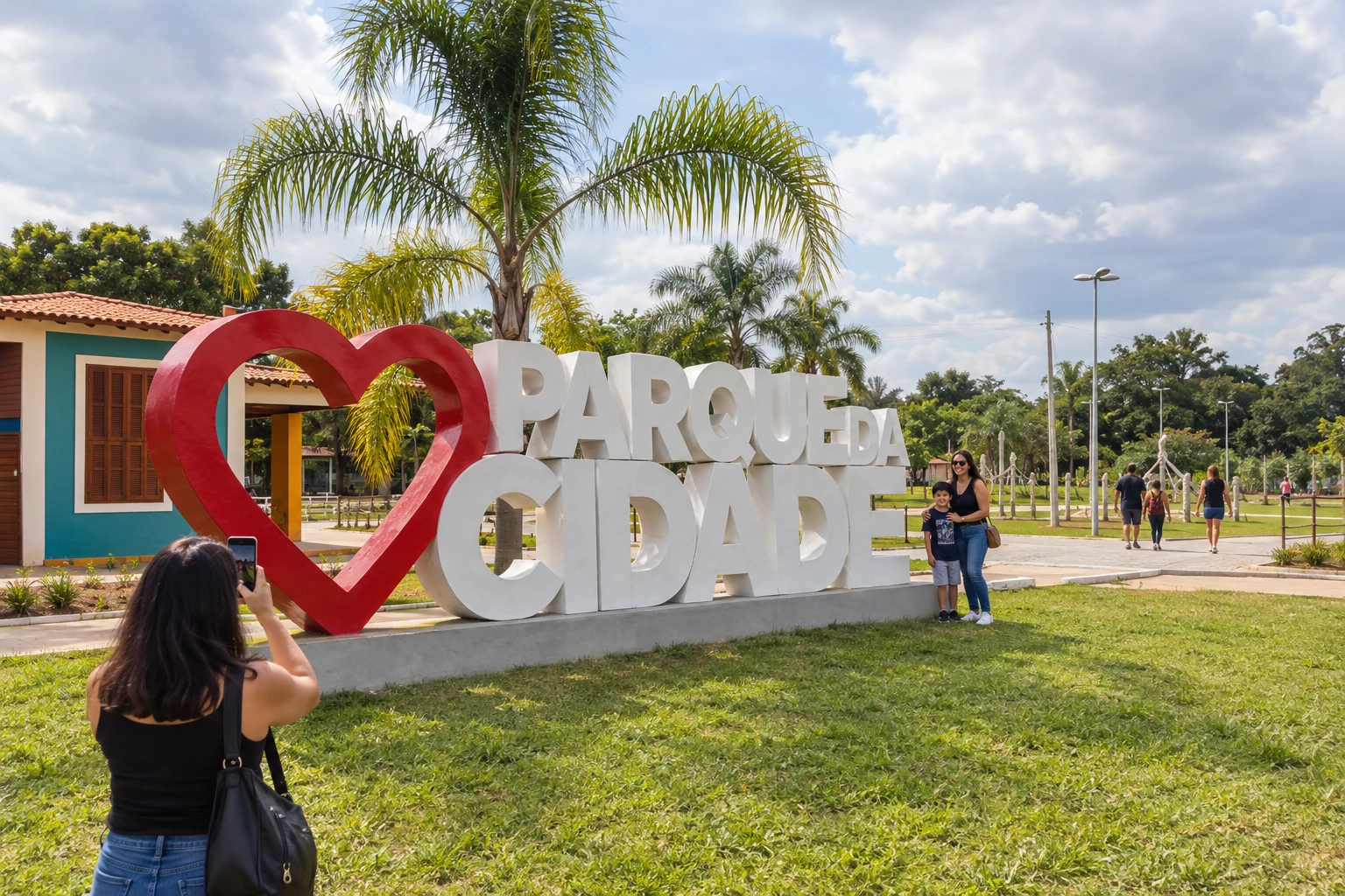 13 · SP
Pindamonhangaba
The chosen option descends via Piracuama and passes through the center before Roseira.
→ Roseira about 18 km From the center of Pindamonhangaba, the chosen finish continues via Roseira. This option differs from the alternative via Ribeirão Grande and Potim.
-
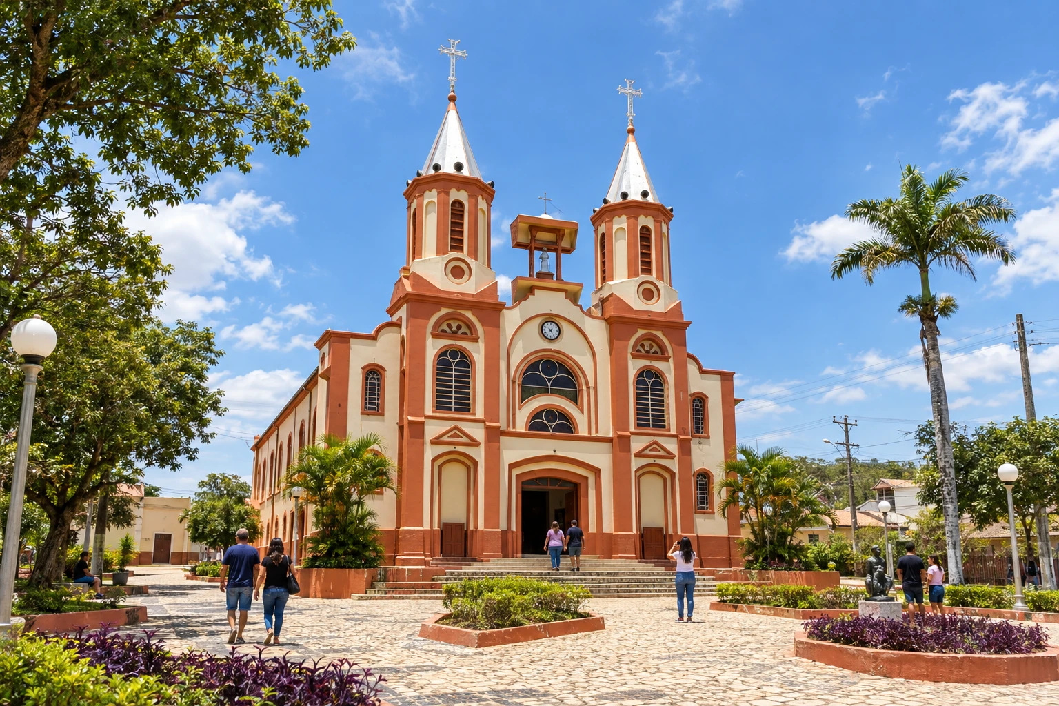 14 · SP
Roseira
Last municipal stop before Aparecida in this arrival option.
→ Aparecida about 10 km From Roseira, the final stage arrives in Aparecida. The sequence ends at the Santuário Nacional; organize arrival to the urban area and the religious access separately from rest.
-
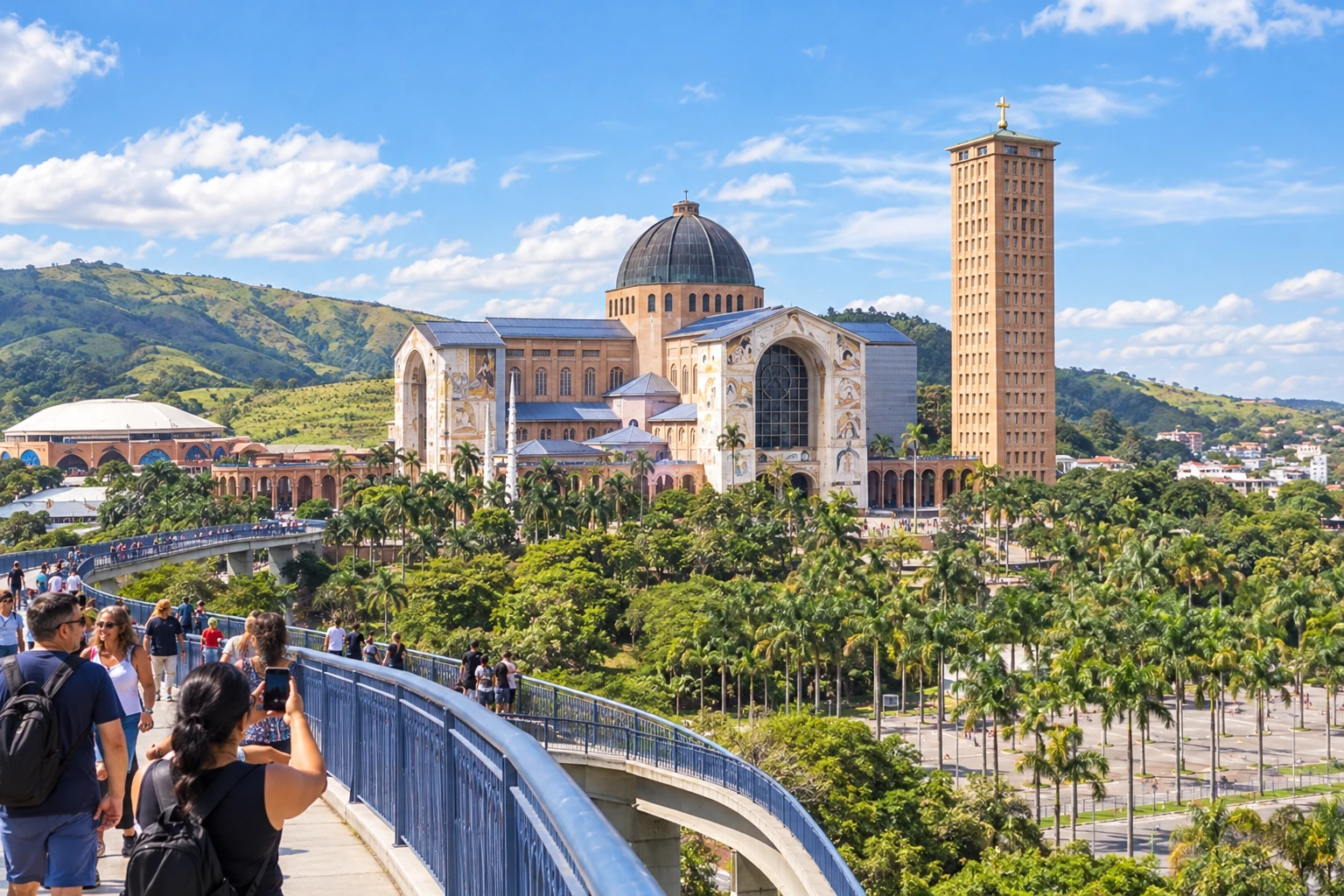 15 · SP
Aparecida
Arrival at the Santuário Nacional and end of this branch.
How many days
We suggest allowing about two weeks for a walking crossing with breaks. Pace and stages vary by group; if cycling, arrange a different plan. The duration is an editorial suggestion.
Best time to go
Check the forecast and the branch conditions. Rain, heat and fog can alter pace and access. Plan stages to arrive while it’s still daylight and confirm necessary support.
How to travel it
Follow the marked branch in the chosen mode and check current directions for each stage. Arrange water, food, accommodation and return transport. Do not use the map’s schematic connections as GPS navigation. Support vehicles need to check detours, especially between Luminosa and Campos do Jordão.
Who it's for
For those seeking pilgrimage, hiking or cycle touring with planned stages and passage through the interior of the Mantiqueira.
Your questions
Frequently asked questions about the Caminho da Fé
Which branch is presented here?
The Águas da Prata branch, arriving via Piracuama, the center of Pindamonhangaba and Roseira to Aparecida.
Are there other options after Campos do Jordão?
Yes. There are options via Ribeirão Grande and Potim or via Gomeral and Pedrinhas. Check the chosen route before departing.
Does the route pass through the center of São Bento do Sapucaí and Brazópolis?
The routes indicated here pass through Cantagalo and Luminosa. Do not assume the municipalities require a mandatory visit to their centers.
Can I follow the same trail by car?
Not always. Support vehicles may need detours, especially on the stretch from Luminosa to Campos do Jordão.
Is it necessary to do the entire route?
No. You can organize stages according to the activity type, the time available, and the support available.
Are the distances intended for planning exact timing?
No. The figures are references for the section and do not include all access routes. Where there is no equivalent confirmation between stops, the distance is left unspecified; times were not estimated.