
Route · PR
Rota dos Tropeiros
Historic routes, museums and landscapes between southern Paraná, the Região Metropolitana de Curitiba and the Campos Gerais.
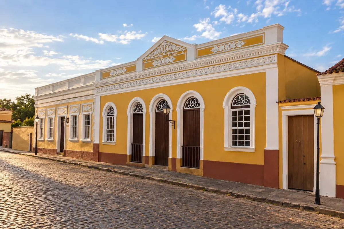
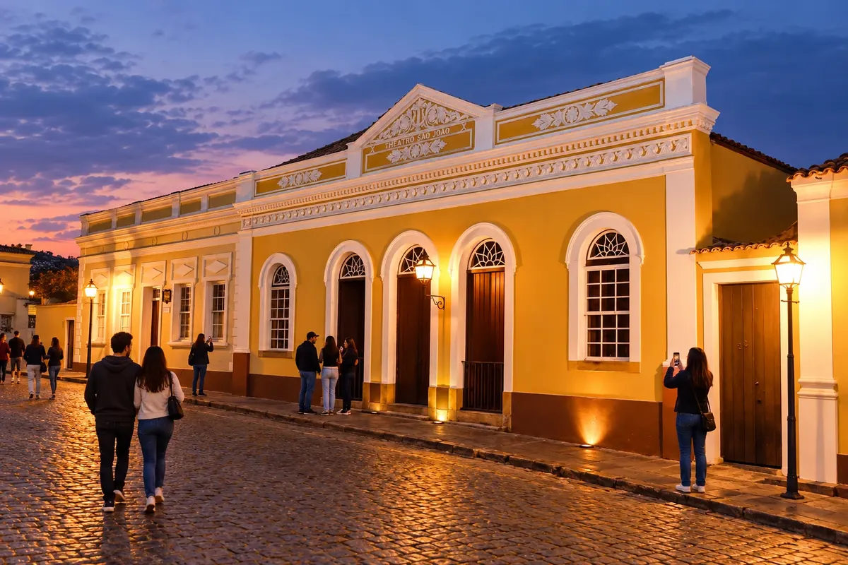
In the photo: Facade of the Theatro São João in the Centro Histórico da Lapa.
Illustrative images. The pictures in this guide are illustrations based on the real place, not photographs, and may differ from it.

The route
What the Rota dos Tropeiros is
Rio Negro, Campo do Tenente and Lapa introduce the southern section of the tropeiros' routes in Paraná. The route continues through Porto Amazonas and Palmeira to the towns of the Campos Gerais, where museums, immigrant settlements and sandstone landscapes add further layers to the regional history.
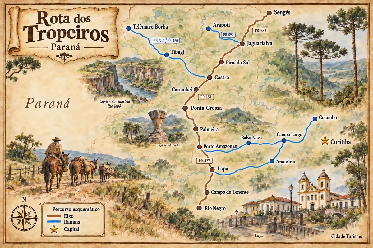
The axis via Ponta Grossa, Carambeí, Castro, Piraí do Sul and Jaguariaíva reaches Sengés. Branches lead to Balsa Nova, Campo Largo, Araucária and Colombo, as well as Tibagi, Telêmaco Borba and Arapoti. Historic centers, parks and rural outings require their own time, beyond the travel between bases.
The map
18 cities along the way
Mapa: @svg-maps/brazil, CC BY 4.0
The journey
City by city
Distances and times are approximate: check before you set off.
-
 1 · PR
Rio Negro
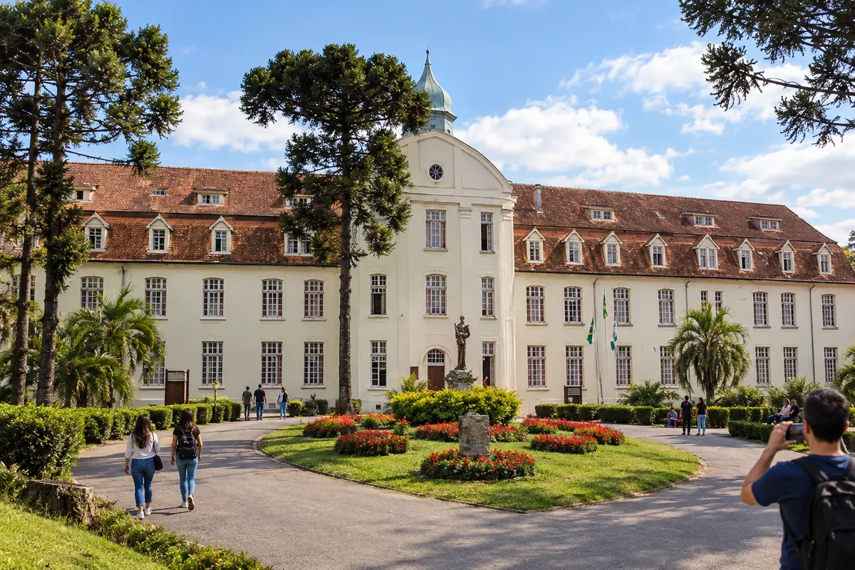
Rio Negro occupies the Paraná bank of the river that borders Mafra, in Santa Catarina. German colonization appears in the townscape and in the history of the former Seminário Seráfico São Luís de Tolosa, whose complex is part of a municipal park. The urban core preserves the passage of the tropeiros in Paraná's southern block and links to Campo do Tenente via the BR-116 corridor.
→ Campo do Tenente BR-116 entre Rio Negro e Campo do Tenente, seguida do acesso urbano à sede.
-
 2 · PR
Campo do Tenente
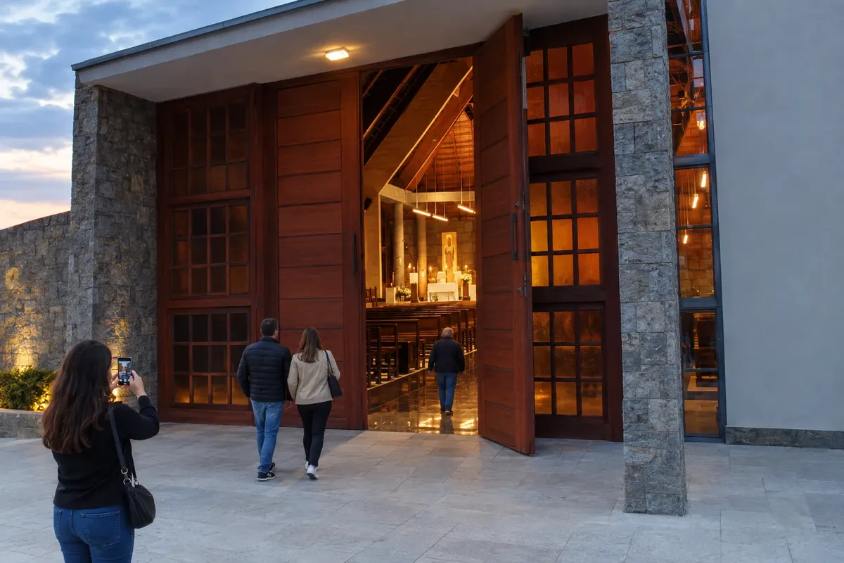
Campo do Tenente developed along the Caminho das Tropas corridor, between Rio Negro and Lapa. The agricultural landscape coexists with references to Polish immigration and the Mosteiro Trapista Nossa Senhora do Novo Mundo, of modern architecture. The town lies at the junction of BR-116 and PR-427 accesses, linking the southern block of the Rota dos Tropeiros.
→ Lapa PR-427 entre Campo do Tenente e Lapa, com chegada ao núcleo urbano pelos acessos municipais.
-
 3 · PR
Lapa
Lapa preserves a group of streets and manor houses associated with the tropeiros' stops and the memory of the Cerco da Lapa. The Matriz de Santo Antônio, the Theatro São João and Casa Lacerda are landmarks for walking through the historic core. BR-476 and PR-427 connect the town to the metropolitan branches and the route to Porto Amazonas.
→ Porto Amazonas PR-427 saindo de Lapa em direção a Porto Amazonas, seguida dos acessos urbanos à cidade e ao Cais do Porto.
-
 4 · PR
Porto Amazonas
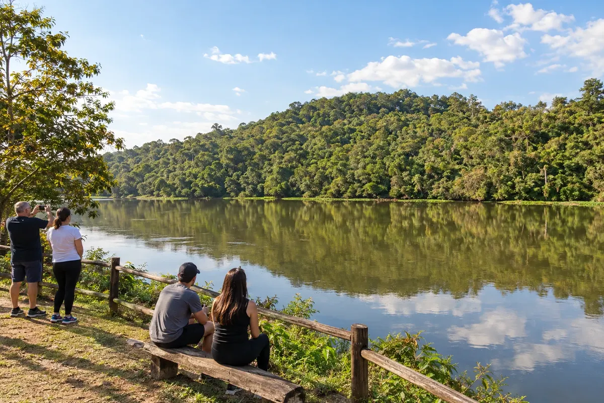
Porto Amazonas preserves the link to steam navigation on the Rio Iguaçu. Its former port function and the railway corridor are part of the town's formation, on the access between Lapa and the Campos Gerais. On the Rota dos Tropeiros, PR-427 reaches the junction with BR-277, which connects the section toward Palmeira.
→ Palmeira BR-277 entre o acesso de Porto Amazonas e Palmeira; a Ponte dos Papagaios usa desvio local próprio na divisa municipal.
-
 5 · PR
Palmeira
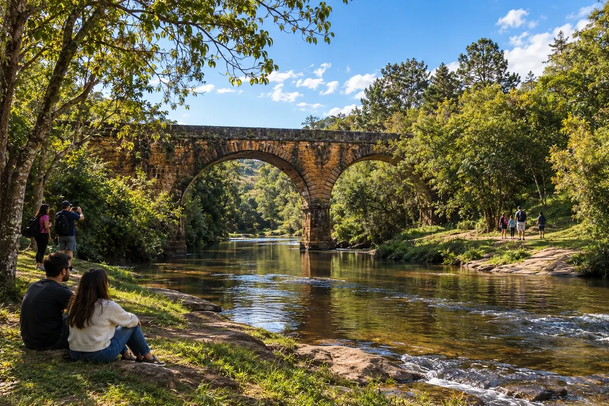
Palmeira brings together references to the tropeiros' routes and the immigrant colonies of the Paraná plateau. The historical experience of Colônia Cecília and the presence of Witmarsum are part of the local identity. On the border with Balsa Nova, the Ponte do Rio dos Papagaios preserves two stone masonry arches from the old Estrada do Mato Grosso.
→ Ponta Grossa PR-151 entre Palmeira e Ponta Grossa. Vila Velha exige ligação separada com a BR-376 e acesso próprio ao parque.
-
 6 · PR
Ponta Grossa
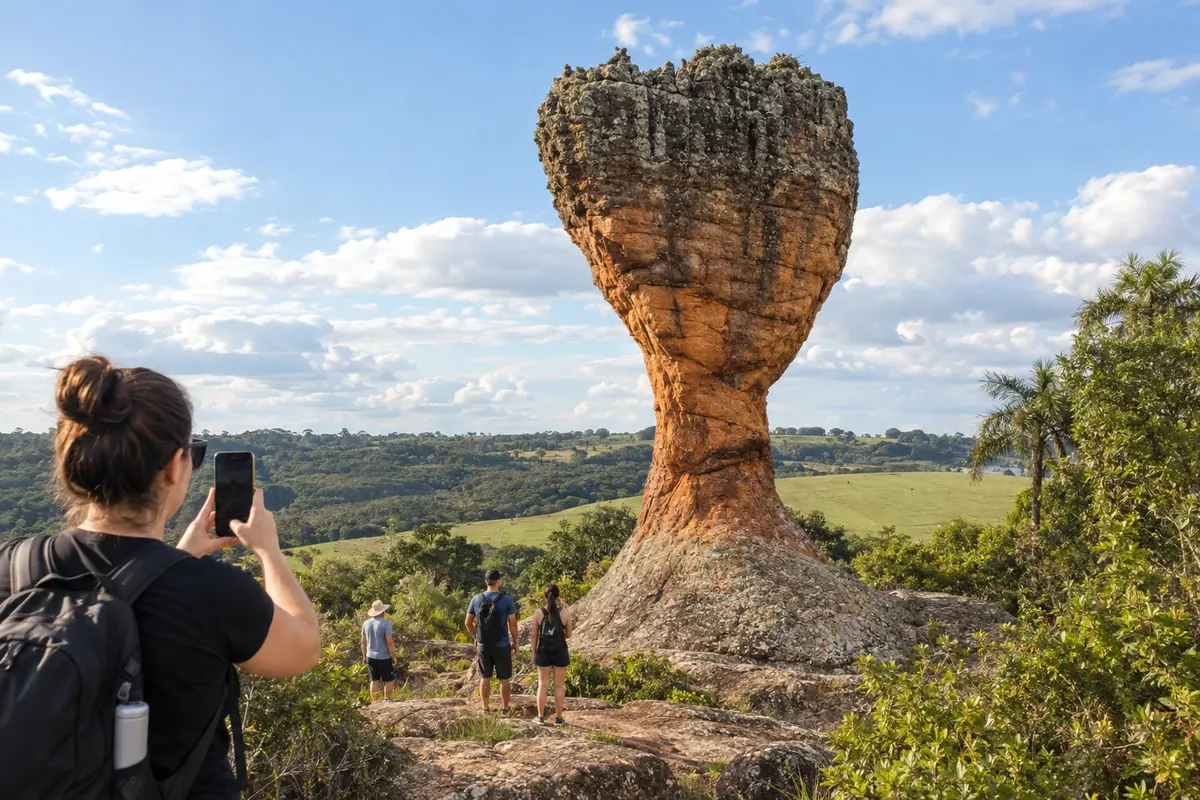
Ponta Grossa is a service center for the Campos Gerais in the Second Paraná Plateau. The sandstones of the Parque Estadual de Vila Velha and the fields of the Escarpa Devoniana shape the municipality's landscape. The city coordinates arrival via the southern block highways and continuation along PR-151 to Carambeí, Castro and the northern Rota dos Tropeiros.
→ Carambeí PR-151 de Ponta Grossa a Carambeí, com saída rodoviária para a sede e para o Parque Histórico.
-
 7 · PR
Carambeí
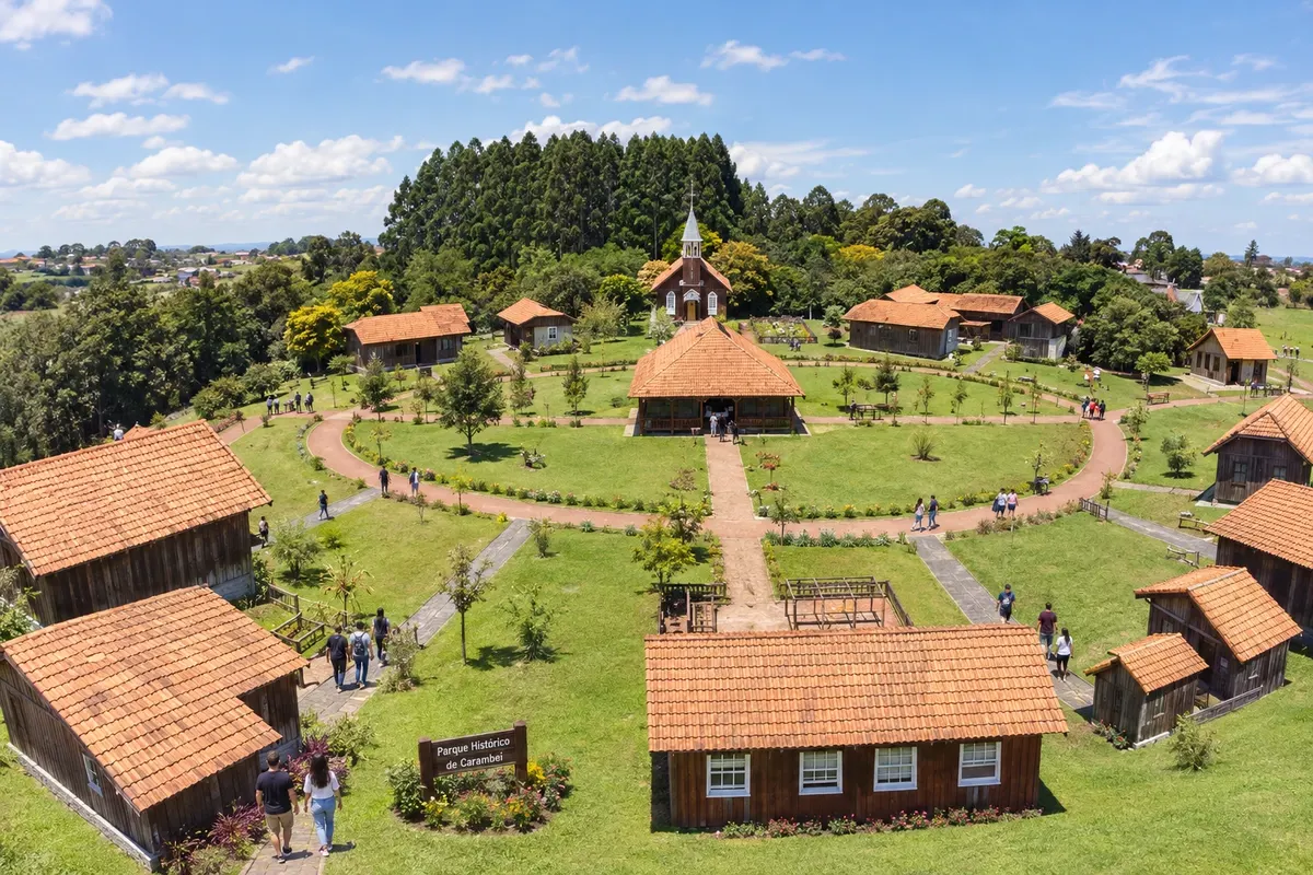
Carambeí preserves the history of Dutch immigration and cooperative dairy production in the Campos Gerais. The Parque Histórico de Carambeí presents this memory in an open-air museum, with buildings and environments that relate the community to rural life. PR-151 connects the town to Ponta Grossa and Castro, on the central axis of the Rota dos Tropeiros.
→ Castro PR-151 entre Carambeí e Castro; a colônia Castrolanda tem ramal local separado do centro histórico.
-
 8 · PR
Castro
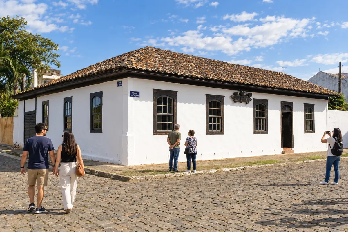
Castro developed as a stopping point beside the Rio Iapó on the tropeiros' routes. The Museu do Tropeiro preserves objects and references from that period, while Colônia Castrolanda adds the memory of Dutch immigration, with a windmill and a historical museum. The town connects the PR-151 axis to the PR-340 branch toward Tibagi.
→ Piraí do Sul PR-151 de Castro a Piraí do Sul, seguida do acesso urbano. O Santuário das Brotas fica em desvio próprio.
-
 9 · PR
Piraí do Sul
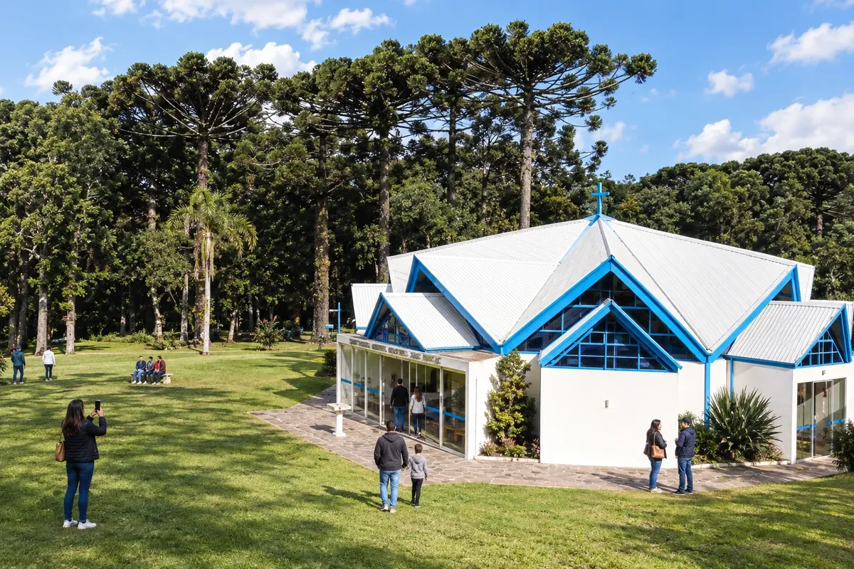
Piraí do Sul lies on the PR-151 corridor, between Castro and Jaguariaíva. Devotion to Nossa Senhora das Brotas is linked to the passage of the tropeiros and has its own place in the town's sanctuary. The urban core and the Pirazinho valley help situate the town on the religious and historical route of the Campos Gerais.
→ Jaguariaíva PR-151 entre Piraí do Sul e Jaguariaíva; os parques do município têm acessos específicos a partir da sede.
-
 10 · PR
Jaguariaíva
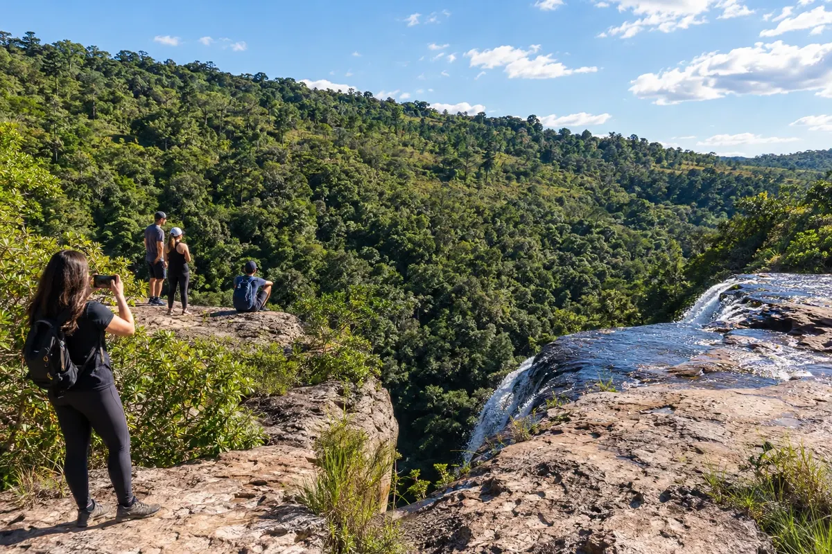
Jaguariaíva preserves the tropeiros' crossing of its river and the industrial memory linked to the name Matarazzo. Parque Ambiental Dr. Ruy Cunha brings the urban walk closer to that history, while Parque Estadual do Cerrado protects another plateau landscape. The town links PR-151 to the accesses to Sengés and to the PR-092 branch toward Arapoti.
→ Sengés PR-151 e PR-239 para chegar a Sengés. Cachoeiras e pontos do Jaguaricatu exigem caminhos rurais organizados separadamente.
-
 11 · PR
Sengés
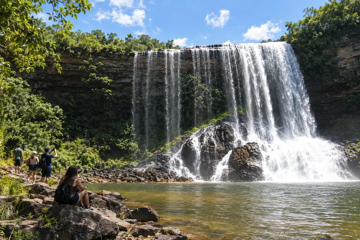
Sengés occupies the valleys on the edge of the Campos Gerais, near the São Paulo border. The Jaguaricatu landscape and the Cachoeira do Sobradinho give identity to nature outings, while the railway corridor shaped timber exploitation and urban development. PR-151 and PR-239 connect the town to the axis coming from Jaguariaíva.
-
 12 · PR
Balsa Nova
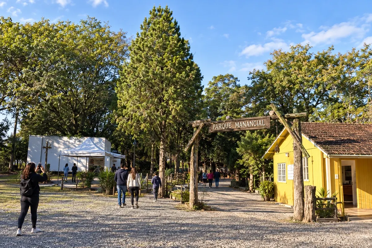
Balsa Nova's name is linked to the crossing of the Rio Iguaçu and to territory that reaches the Escarpa Devoniana. São Luiz do Purunã is its mountainous district, associated with the fields and the tropeiros' routes. In the town, Parque Manancial brings together environmental education trails; the town participates in the branch between the plateau and Campo Largo.
→ Campo Largo Acessos municipais de Balsa Nova e corredor BR-277/BR-376 até Campo Largo, com saída para a área central.
-
 13 · PR
Campo Largo
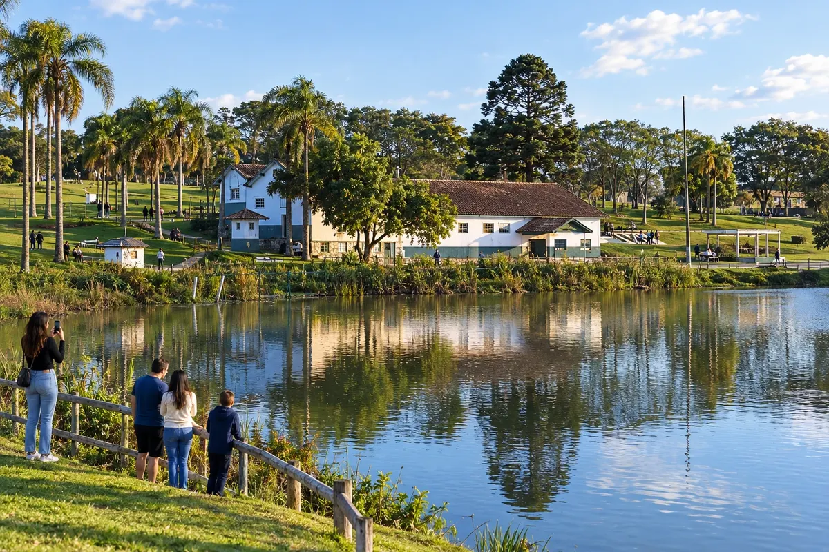
Campo Largo began as a stopping place on the routes of the tropeiros and gained identity through the production of earthenware and porcelain. Parque Cambuí–Newton Puppi occupies an area tied to the former yerba-mate mills, and Matriz Nossa Senhora da Piedade is a landmark in the town center. The municipality is part of the metropolitan branch between Balsa Nova, Araucária and Colombo.
→ Colombo BR-277 e Contorno Norte pela PR-418, com conexão à PR-417 e aos acessos urbanos de Colombo.
-
 14 · PR
Araucária
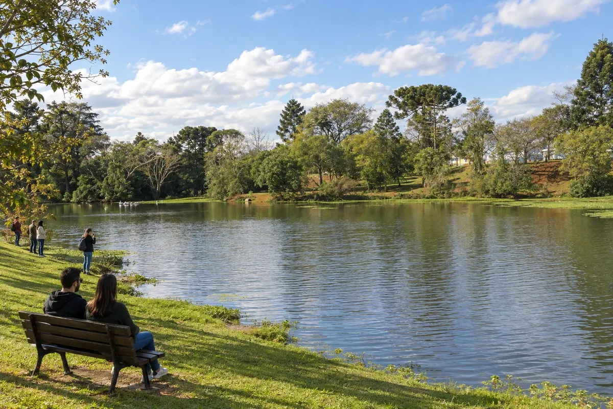
Araucária ocupa parte do vale do Iguaçu na região metropolitana de Curitiba. A presença da imigração polonesa convive com o perfil industrial do município. O Parque Cachoeira reúne espaços públicos de lazer e referências da vida comunitária, enquanto a BR-476 e a PR-423 ligam a cidade aos caminhos de Lapa e Campo Largo.
→ Campo Largo PR-423 e BR-277 entre Araucária e Campo Largo, com conexões metropolitanas pavimentadas.
-
 15 · PR
Colombo
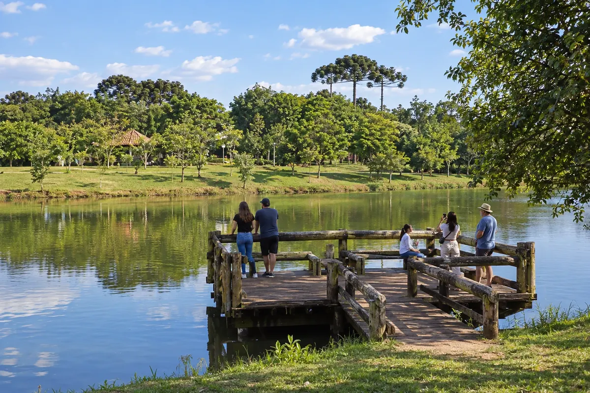
Colombo se relaciona à colonização italiana e à produção de uva na região metropolitana de Curitiba. O Parque Municipal da Uva reúne caminhos, espaços de lazer e referências à memória da vitivinicultura. A cidade integra o extremo do ramal metropolitano da Rota dos Tropeiros, alcançado pelas conexões rodoviárias do entorno da capital.
-
 16 · PR
Tibagi
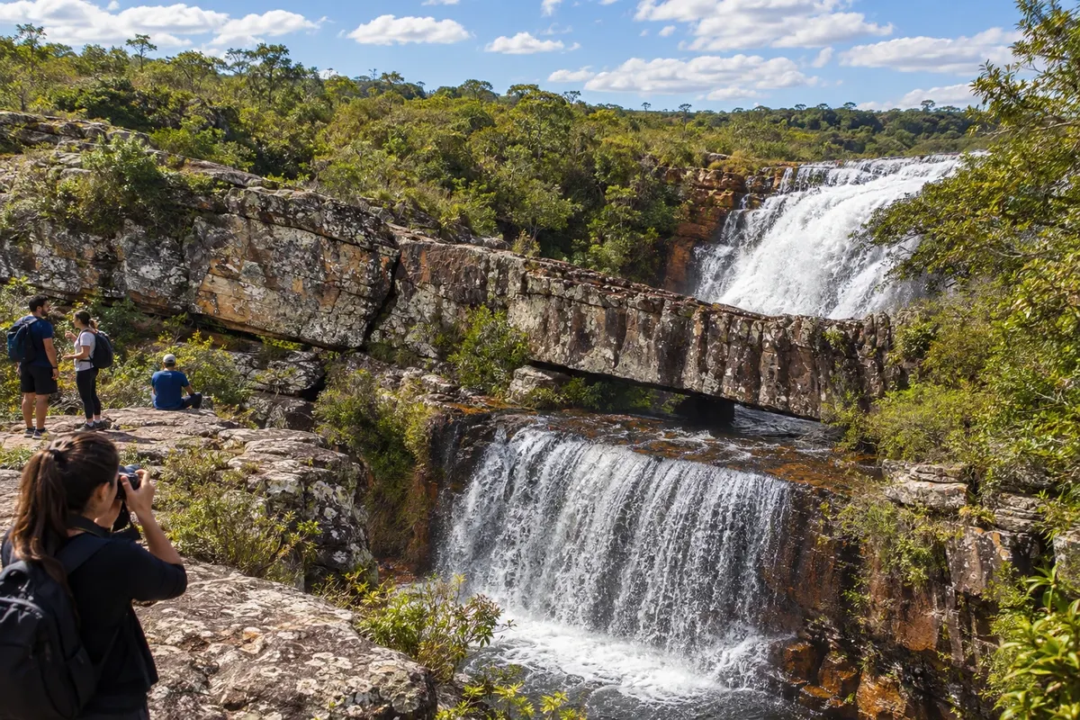
Tibagi ocupa a margem do rio que dá nome à cidade e guarda referências da mineração e dos caminhos tropeiros. O Parque Estadual do Guartelá protege parte do cânion do Rio Iapó, entre campos e paredões de arenito. A PR-340 conecta o município ao ramal vindo de Castro e à direção de Telêmaco Borba.
→ Telêmaco Borba PR-340 e conexão com a PR-160 entre Tibagi e Telêmaco Borba, pelos acessos rodoviários da região.
-
 17 · PR
Telêmaco Borba
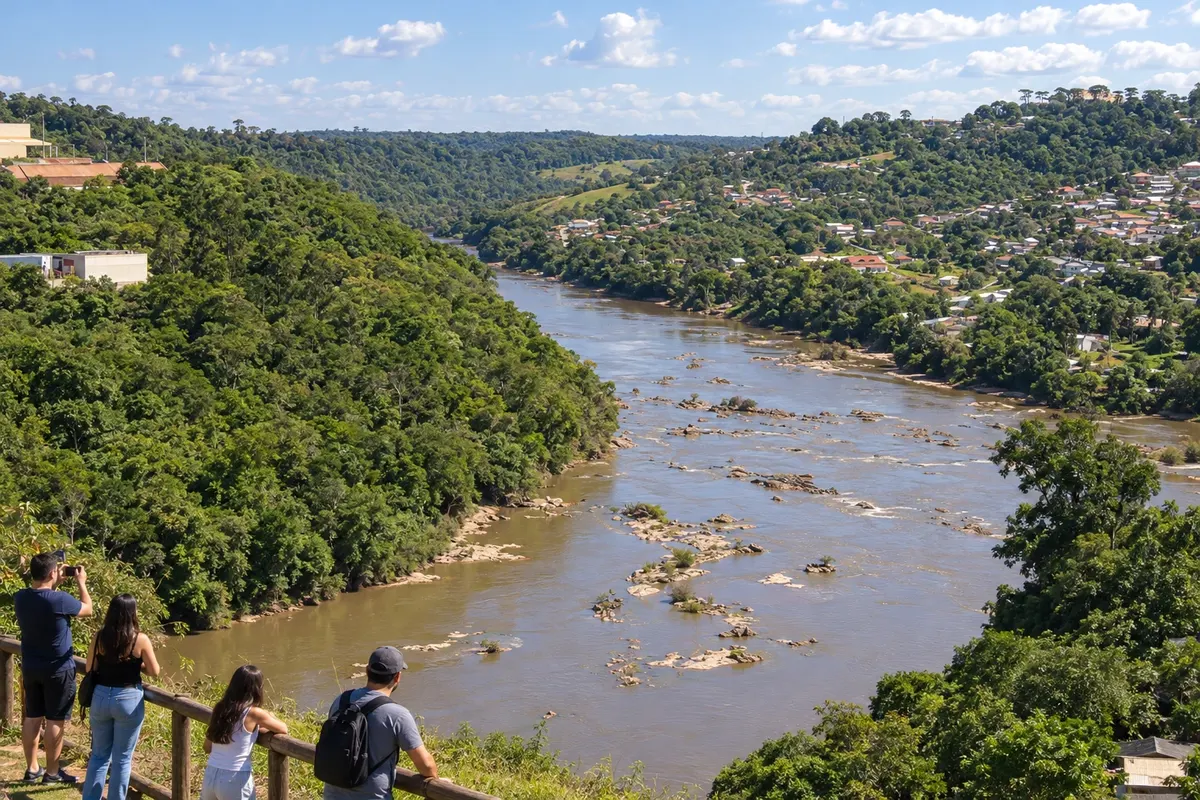
Telêmaco Borba é um polo de papel e celulose no vale do Rio Tibagi. A formação ligada à indústria e à Fazenda Monte Alegre distingue a cidade dos antigos núcleos tropeiros do planalto. Na Rota dos Tropeiros, participa do ramal vindo de Tibagi pelas ligações da PR-340 e da PR-160, como apoio urbano aos deslocamentos regionais.
-
 18 · PR
Arapoti
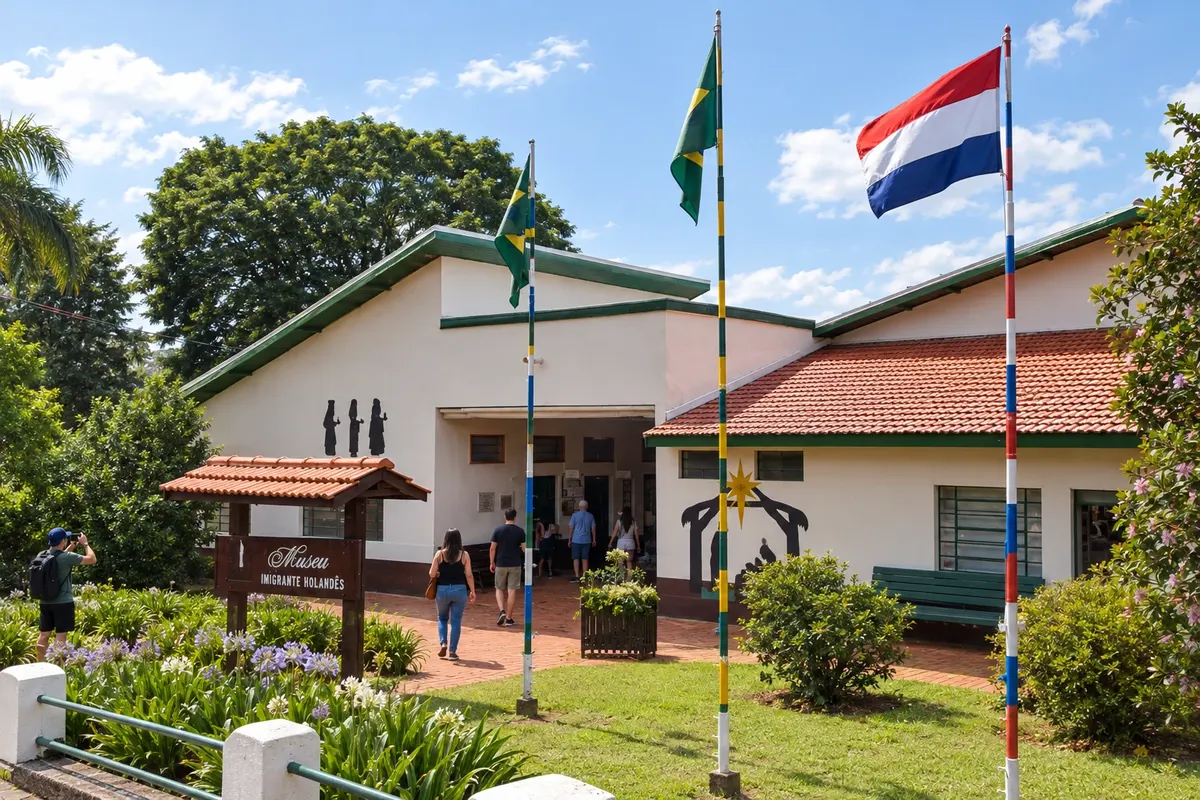
Arapoti se formou em uma área de fazendas do caminho tropeiro e ganhou outra referência com a colônia holandesa. O Museu Imigrante Holandês reúne acervo e ambientes ligados à produção rural e à vida cooperativa. A PR-092 conecta a cidade ao ramal de Jaguariaíva, fora da sequência que segue diretamente para Sengés.
How many days
Allow eight to twelve days to combine the historic axis and some branches. A trip covering all eighteen towns, with museums and rural routes, requires more time or division into stages.
Best time to go
From April to August it usually rains less across the region; from May to August, mornings on the plateaus can be cold. From December to March, rain is more frequent and affects trails and rural access. Museums and historic centers make it possible to plan stages with indoor activities, depending on confirmed reception.
The seasons shown are the most usual ones; nature doesn't always follow the calendar.
How to travel it
Choose bases and branches before traveling. BR-116, BR-277 and BR-476 connect the southern block and the metropolitan municipalities; PR-151 runs along part of the Campos Gerais axis. PR-340, PR-160 and PR-092 lead to the branches for Tibagi, Telêmaco Borba and Arapoti. Organize rural access to Sengés and museum reception separately from the road sections.
Who it's for
For those combining the history of the tropeiros' routes, urban architecture, immigration memory and walks in the parks of the Campos Gerais.
Your questions
Frequently asked questions about the Rota dos Tropeiros
Preciso percorrer as dezoito cidades numa viagem só?
O roteiro pode ser dividido entre o bloco sul, os municípios metropolitanos e os Campos Gerais. Escolha as bases de acordo com as visitas e os ramais desejados.
Como incluir Colombo e Araucária?
Os dois municípios entram por ramais metropolitanos ligados a Lapa e Campo Largo. Acrescente os deslocamentos específicos ao escolher as etapas.
A visita ao Guartelá faz parte da passagem por Tibagi?
O parque tem entrada própria pela PR-340 e formas específicas de organizar as trilhas. Reserve tempo além da visita à sede urbana de Tibagi.
A Ponte dos Papagaios fica em qual parte do roteiro?
A ponte está na divisa de Palmeira com Balsa Nova, junto ao corredor da BR-277. A parada exige acesso local separado da circulação pela rodovia.
Os passeios rurais de Sengés dispensam organização prévia?
Cachoeiras e pontos do Jaguaricatu usam acessos locais e percursos a pé. Combine as permissões de passagem e a orientação do trajeto antes do deslocamento.