Park
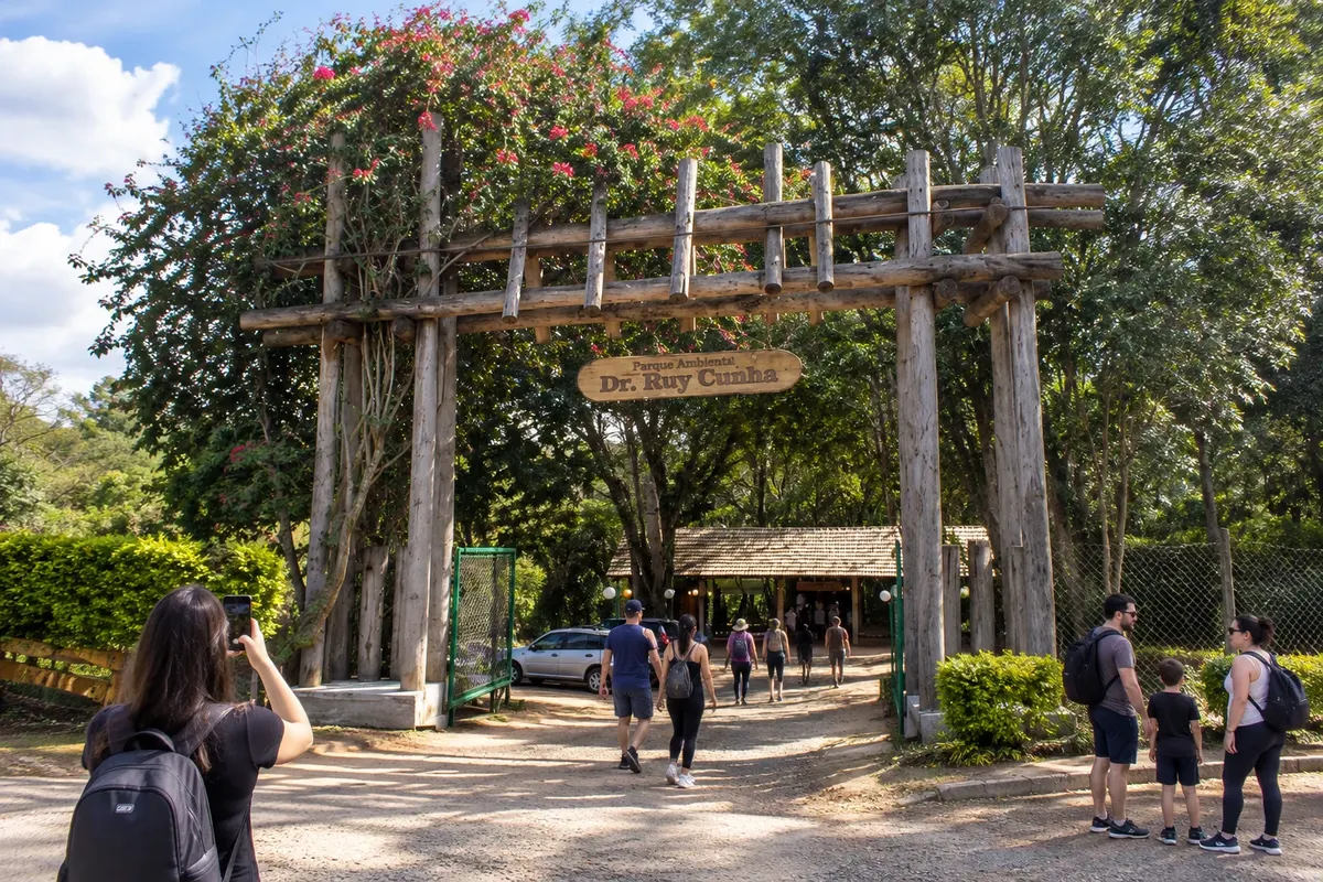
Parque Ambiental Dr. Ruy Cunha
Urban park in Jaguariaíva with vegetation, walking paths and leisure areas.
Discover Parque Ambiental Dr. Ruy Cunha

Paraná · Brazil
In the destination Campos Gerais.
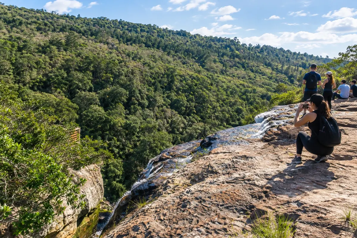
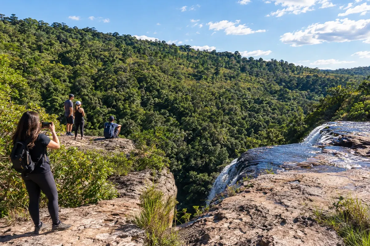
In the photo: Rocks and vegetation of the Parque Estadual do Cerrado.
Illustrative images. The pictures in this guide are illustrations based on the real place, not photographs, and may differ from it.
The city
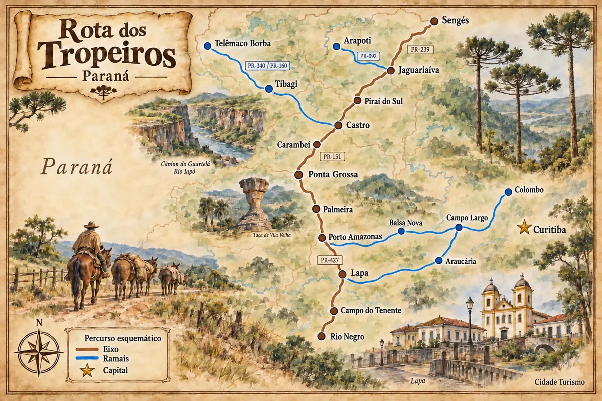
Jaguariaíva preserves the drovers' crossing of its river and the industrial heritage associated with the name Matarazzo. The Parque Ambiental Dr. Ruy Cunha links the urban stroll to that history, while the Parque Estadual do Cerrado protects another plateau landscape. The city connects PR-151 to the accesses to Sengés and to the PR-092 branch toward Arapoti.
There's no accommodation in the guide yet in Jaguariaíva.
There are no restaurants in the guide yet in Jaguariaíva.
Know a good one? Recommend it to ushow to get there · how many days · itinerary · questions
The local experience
Urban park in Jaguariaíva with vegetation, walking paths and leisure areas.
Discover Parque Ambiental Dr. Ruy Cunha
Conservation unit in Jaguariaíva with fields, cerrado vegetation and environmental interpretation trails.
Discover Parque Estadual do Cerrado
Brazilian routes
Historic routes, museums and landscapes between southern Paraná, the Região Metropolitana de Curitiba and the Campos Gerais.