
Campos Gerais

PR · Brazil

Campos Gerais

Plains and escarpments of the Paraná plateau between tropeiro towns and immigrant colonies.

South

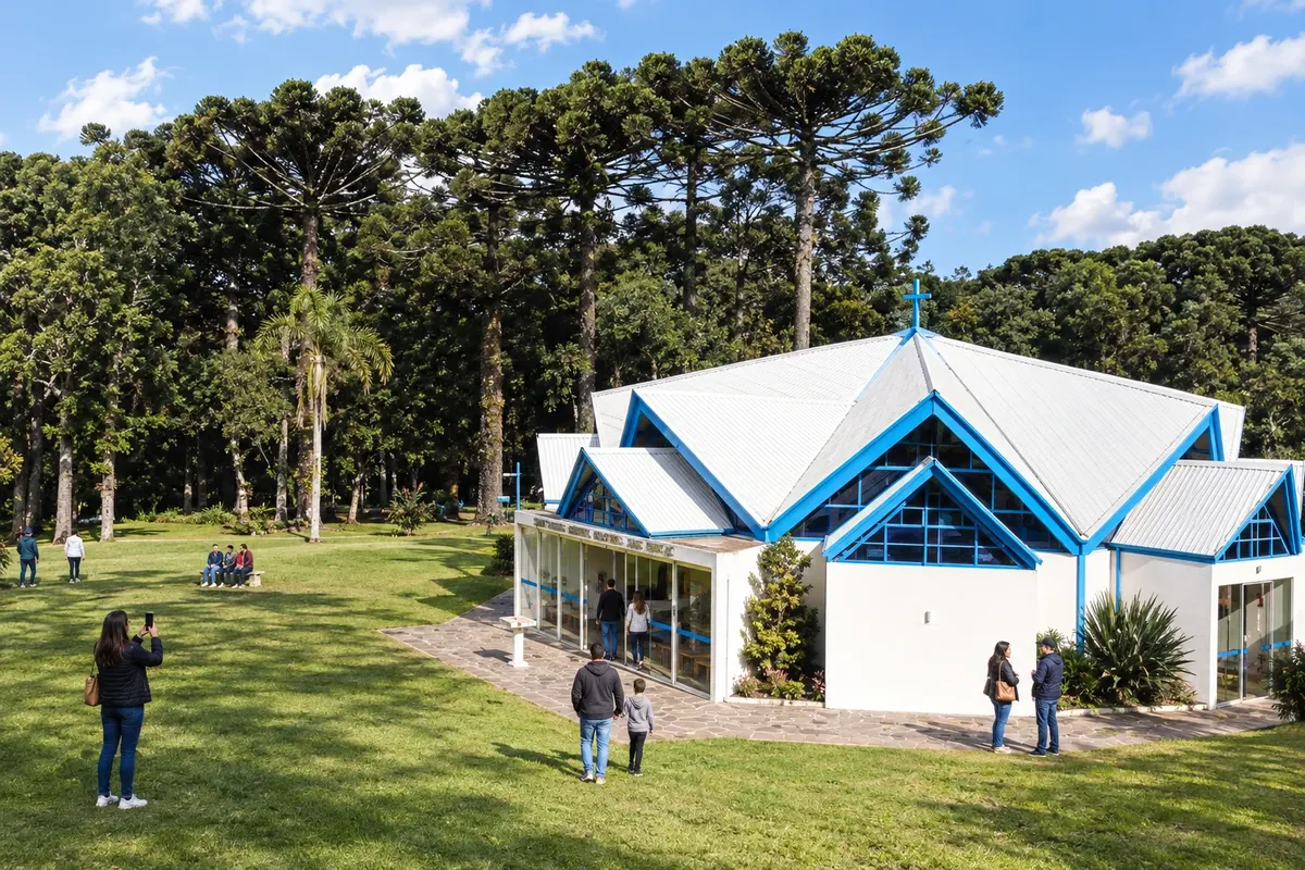
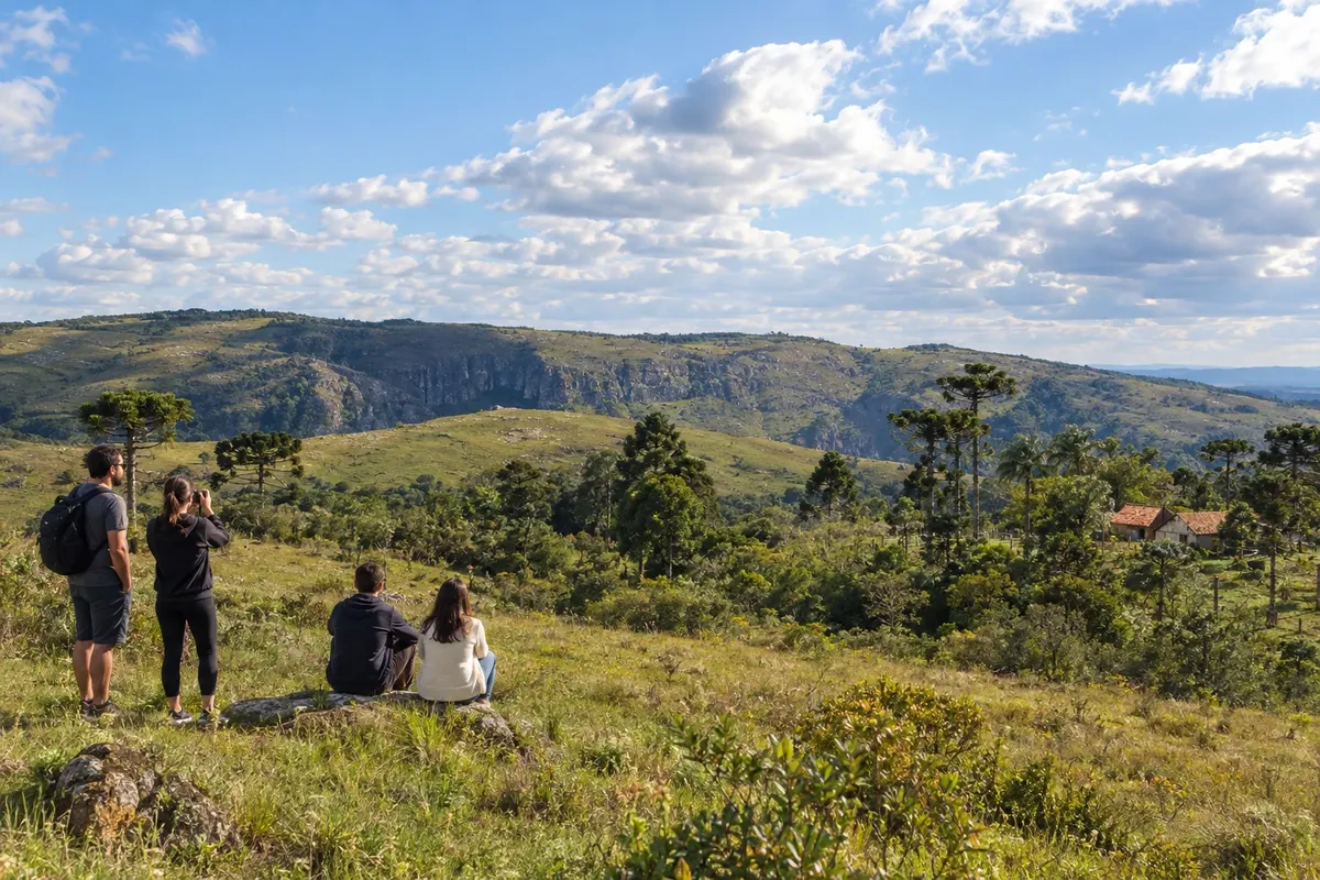
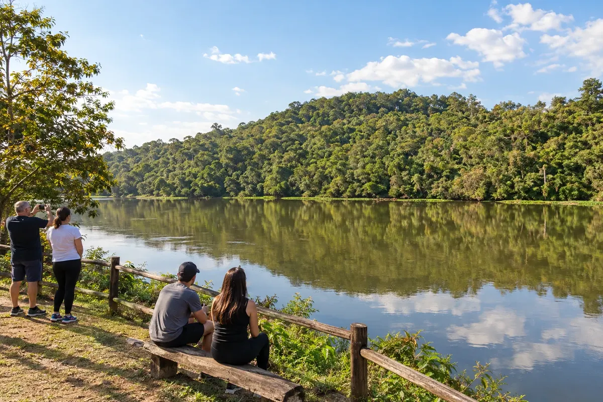
In the photo: Fields and araucarias in the landscape of Tibagi.

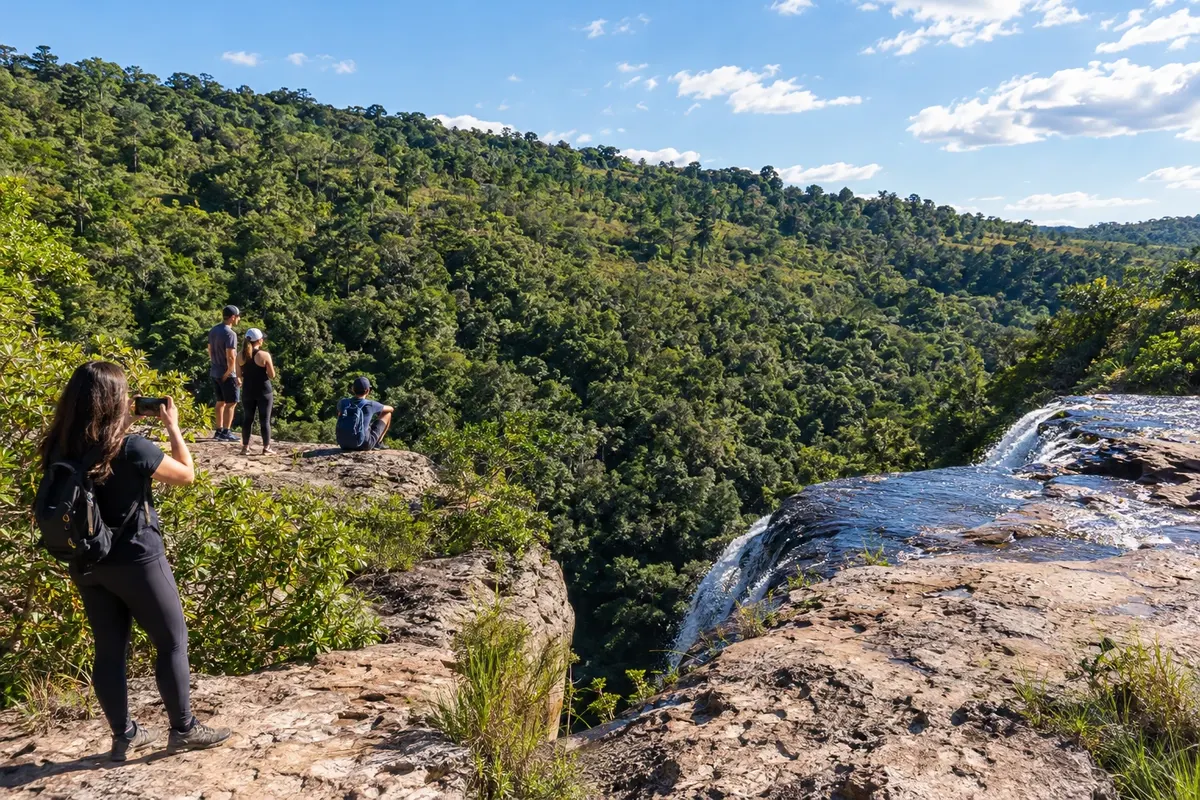
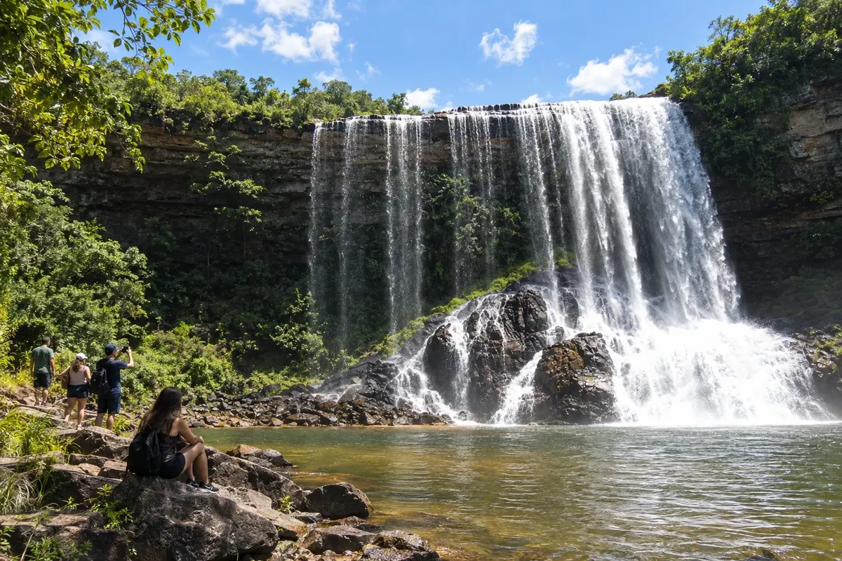
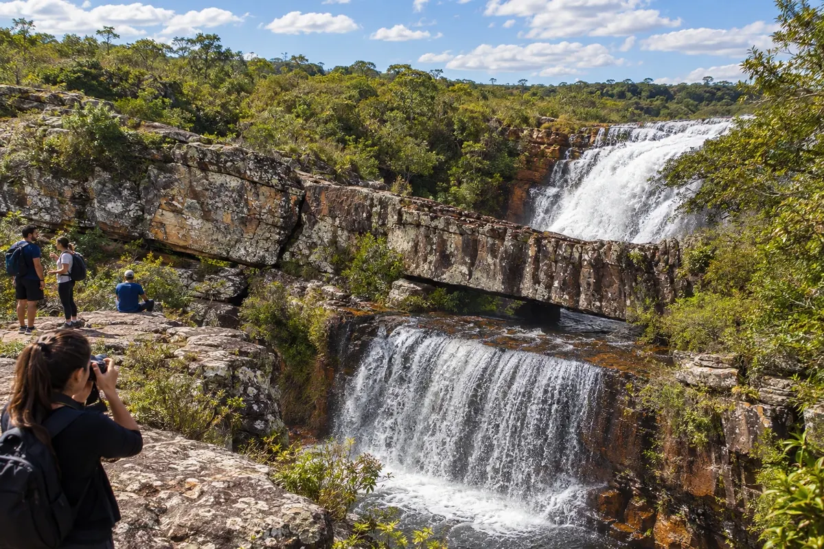
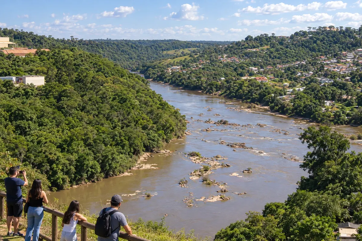
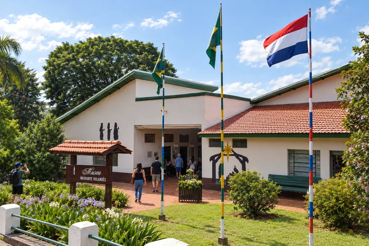
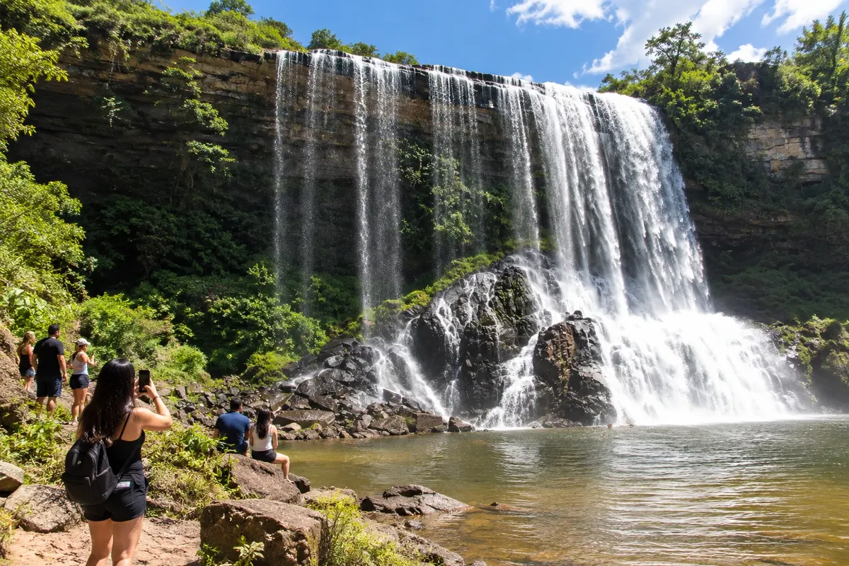
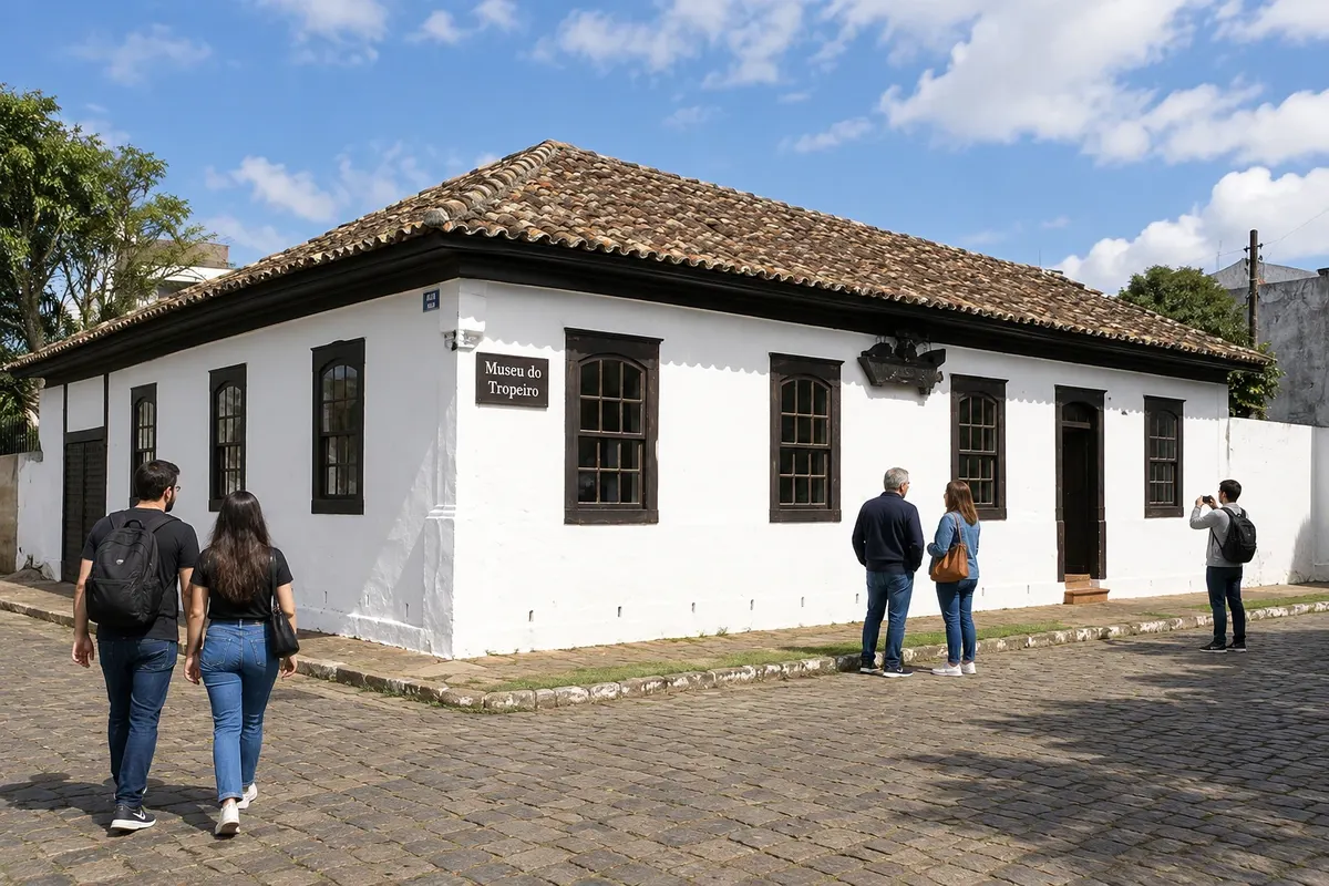
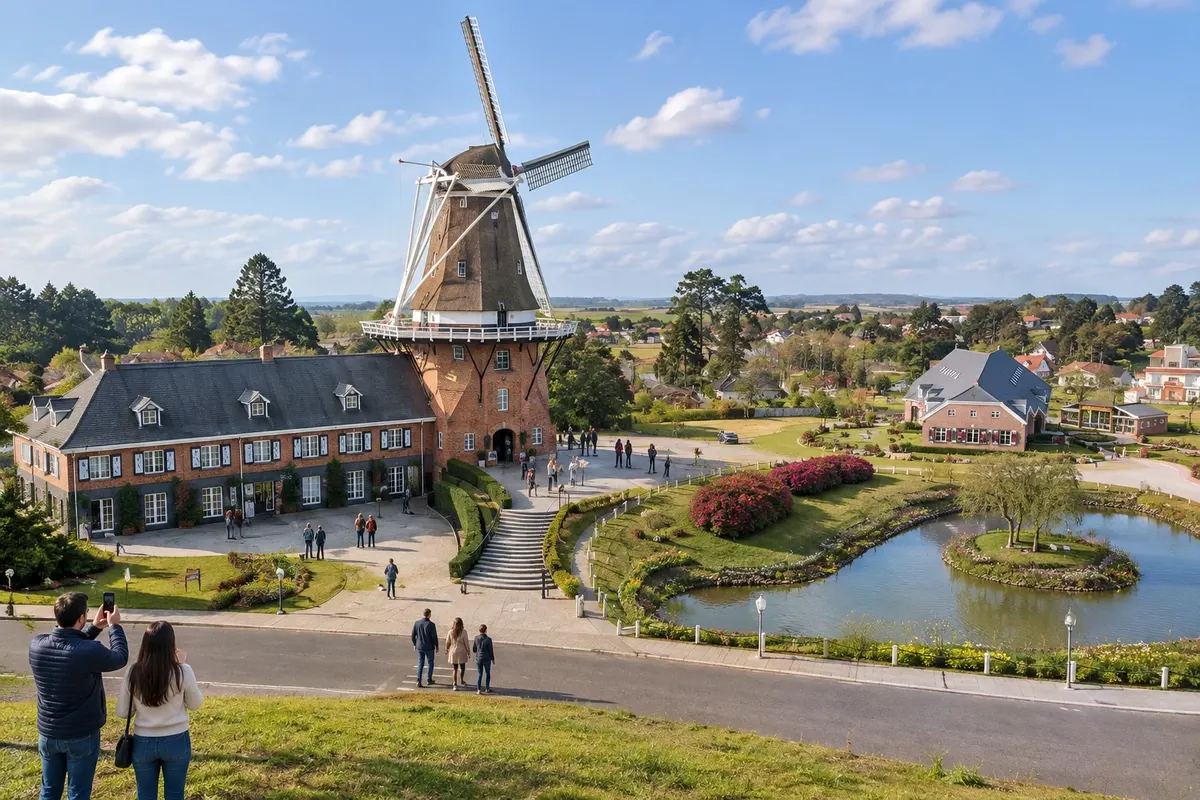
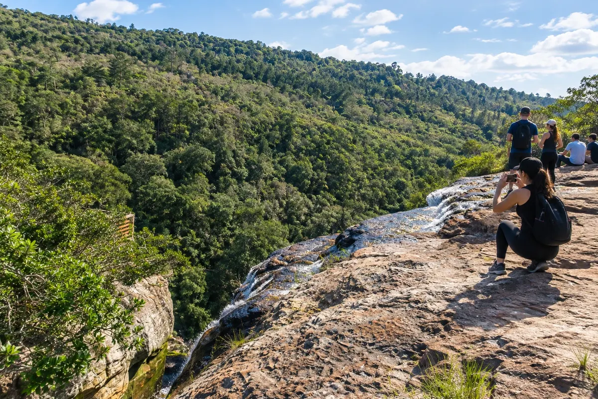
Illustrative images. The pictures in this guide are illustrations based on the real place, not photographs, and may differ from it.

Get it on Google Play Send your photos

Get to know the place

A region to enjoy
at your own pace.

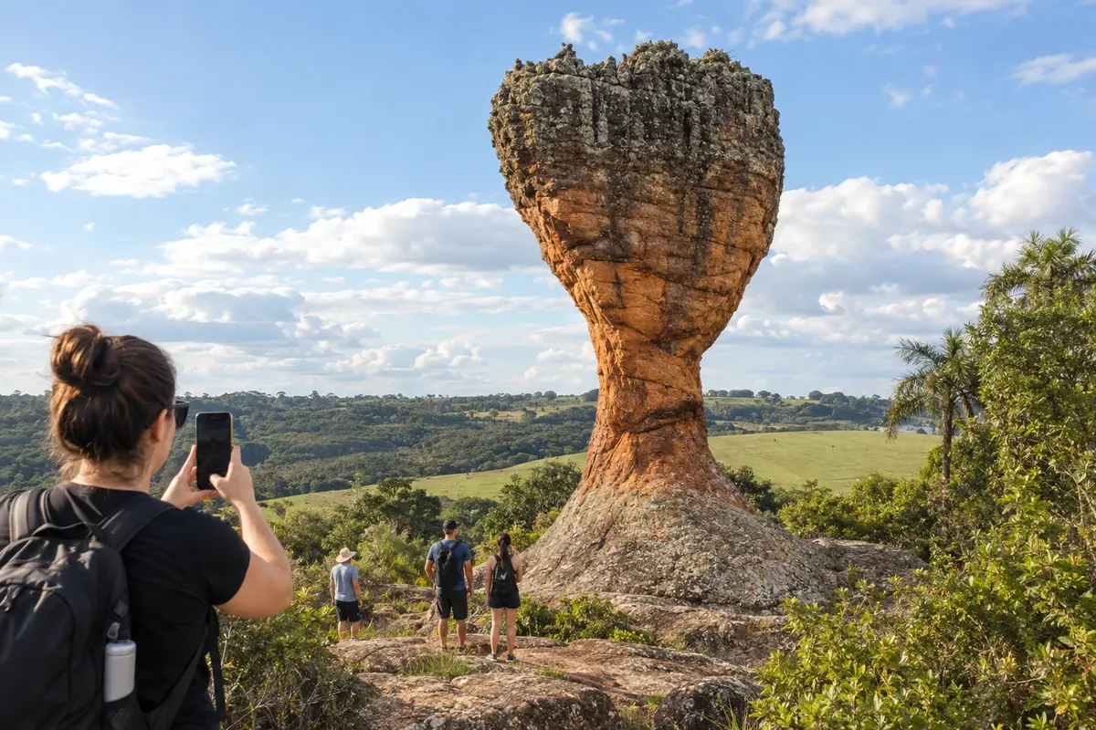
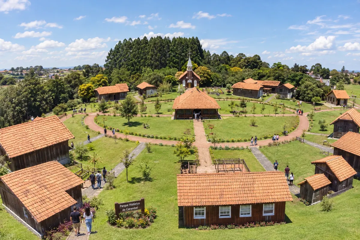
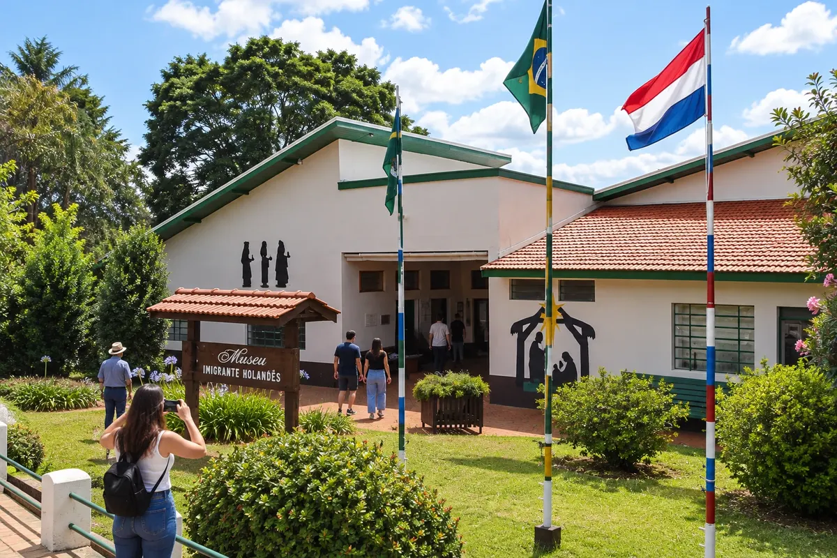
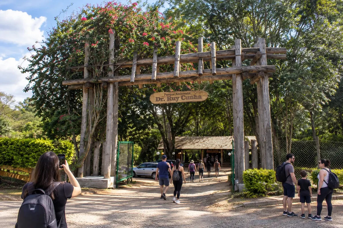
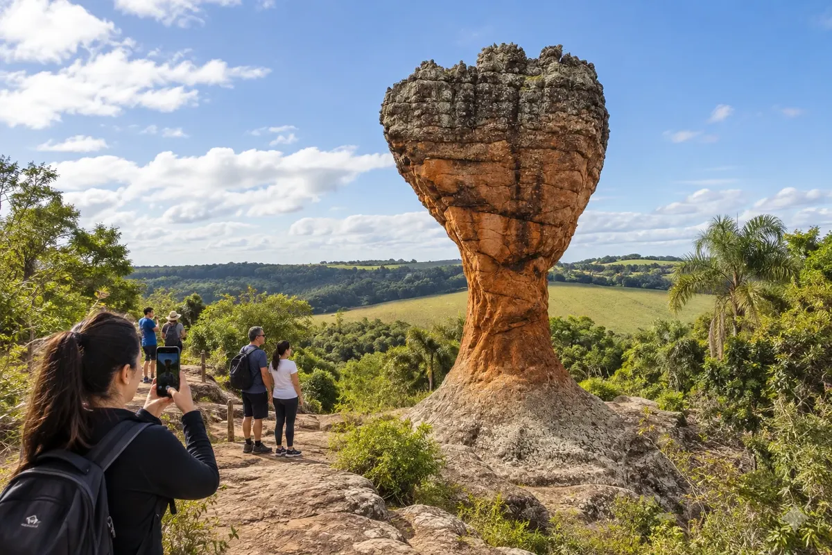
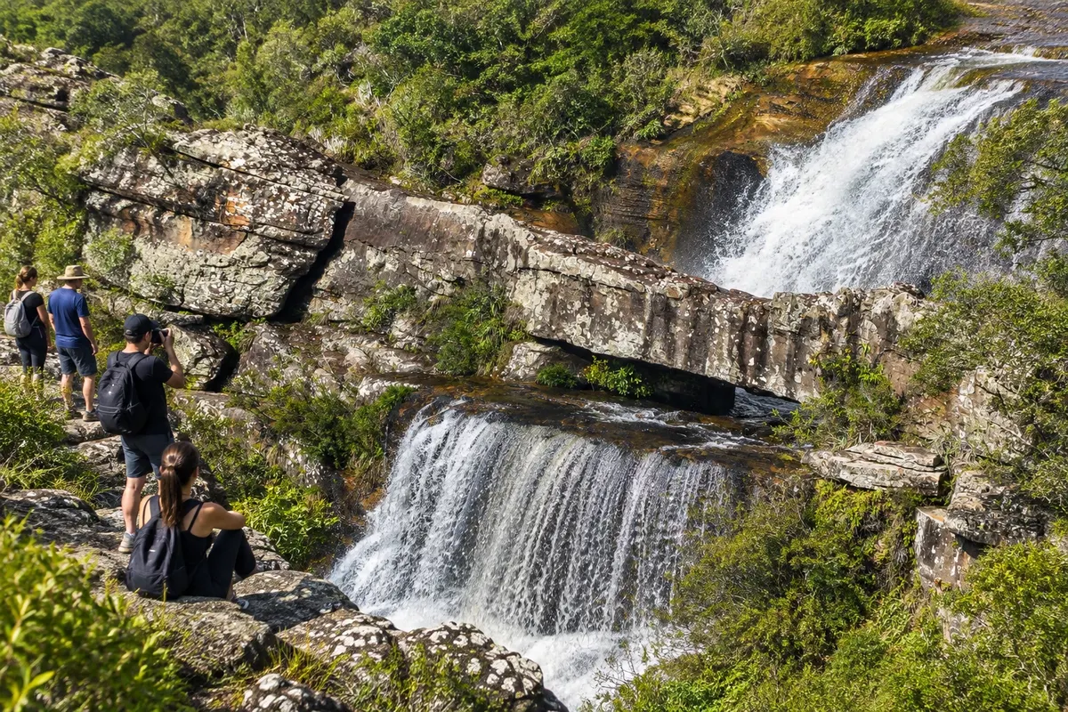
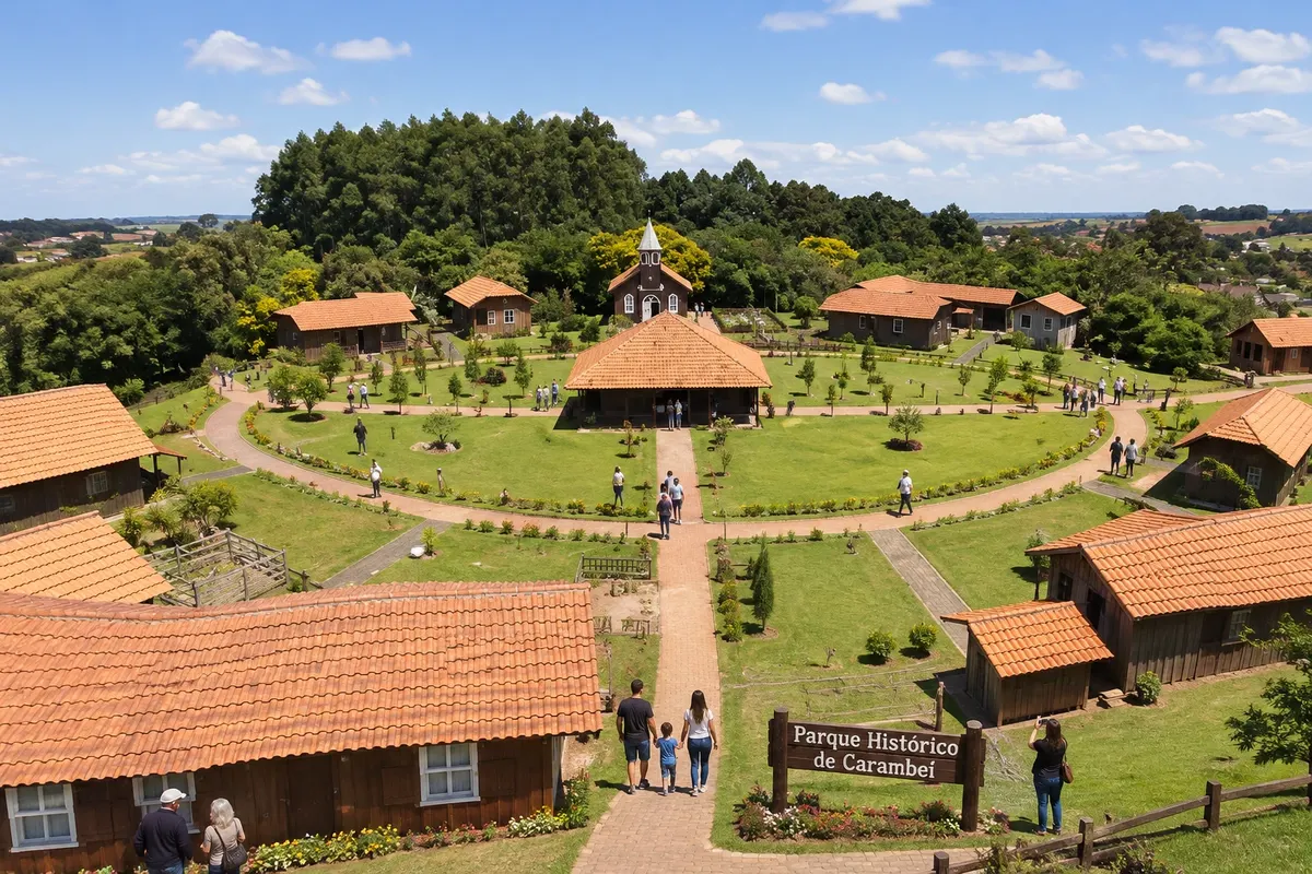
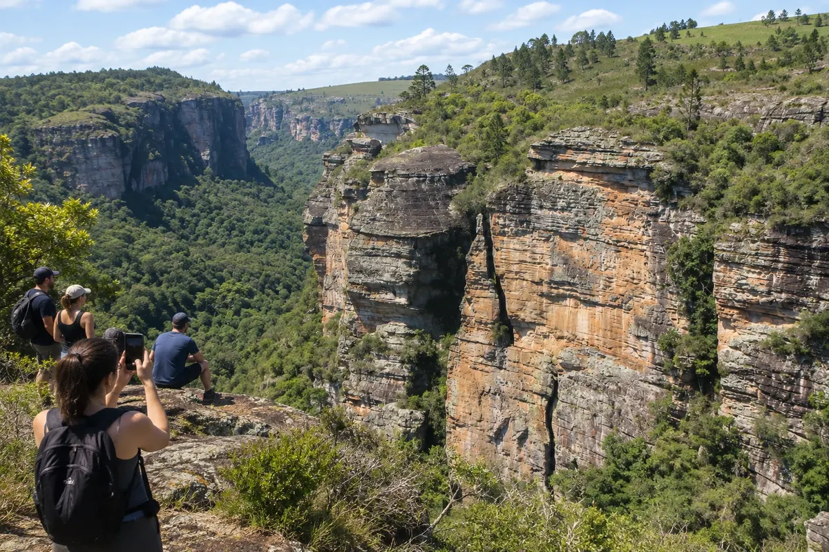
The Campos Gerais bring together towns formed along the routes of cattle drives, natural fields and sandstone escarpments. Ponta Grossa concentrates services; Castro, Carambeí and Arapoti preserve the memory of the Dutch colonies. Guartelá, in Tibagi, and Vila Velha, in Ponta Grossa, make up two of the region’s nature routes.

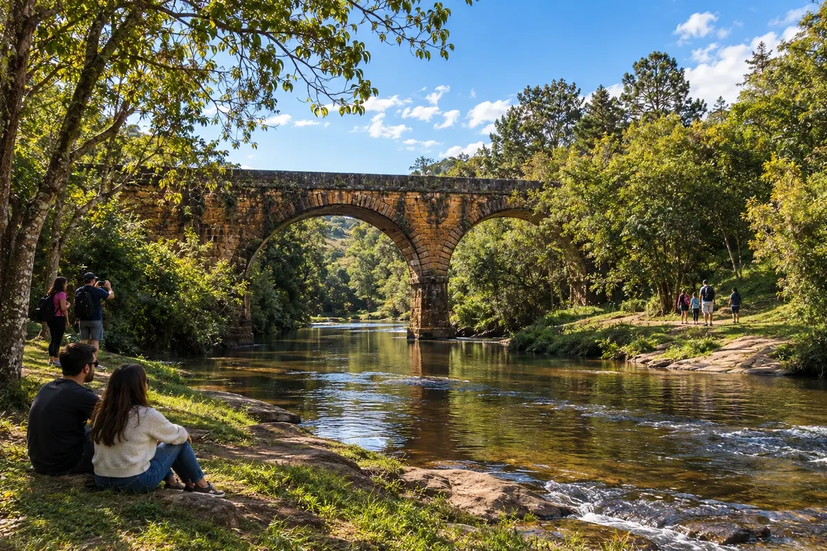
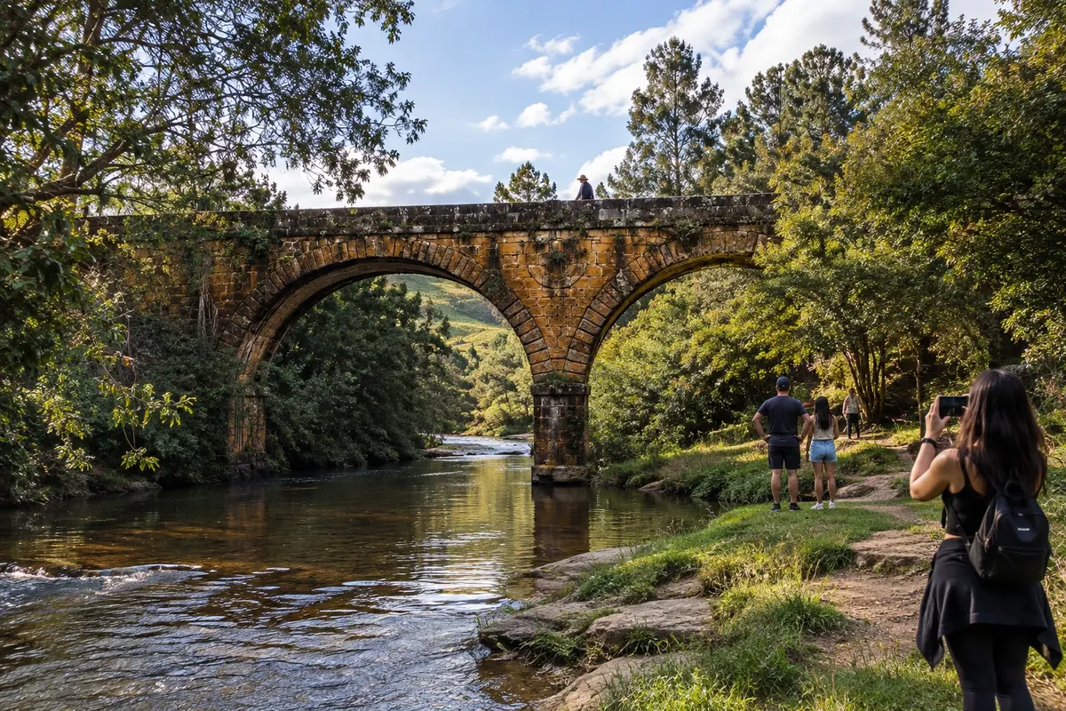
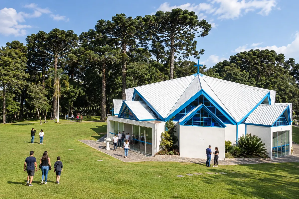
Between the old Iguaçu port in Porto Amazonas and the valleys of Sengés, each outing combines urban stretches and rural access roads. Palmeira adds the stone bridge over the Rio dos Papagaios, while Piraí do Sul has the Santuário das Brotas. The choice of bases depends on the municipalities and excursions included in the trip.

This destination brings together 11 cities: Porto Amazonas, Palmeira, Ponta Grossa, Carambeí, Castro, Piraí do Sul, Jaguariaíva, Sengés, Tibagi, Telêmaco Borba, Arapoti.

Share: WhatsApp
Traveler, share your experiences through photos Up to 5 photos of each place you visited.

One destination, many paths

The cities on this trip

Start with one city or combine several in your itinerary.

Where Campos Gerais is The star marks the nearest capital, Curitiba.
CuritibaPorto AmazonasPalmeiraPonta GrossaCarambeíCastroPiraí do SulJaguariaívaSengésTibagiTelêmaco BorbaArapoti

Mapa: @svg-maps/brazil, CC BY 4.0

How to get there: Campos Gerais

BR-277 and the Palmeira accesses connect the southern block to the region. PR-151 links Ponta Grossa, Carambeí, Castro, Piraí do Sul and Jaguariaíva; Sengés uses the connection with PR-239. Tibagi and Telêmaco Borba lie on the PR-340/PR-160 branch, and Arapoti is accessed via PR-092.

The local experience

Things to do in Campos Gerais

See 8 more places in Campos Gerais

Before you go

Practical information

A little planning leaves more time to enjoy the journey.

When to go

From June to August temperatures are usually lower. July and August tend to have less rain than January in the plateau areas; cold fronts can also reach the region. March, April and September are alternatives for combining cultural visits and hikes. From December to February it is more common to find summer heat and rain.

The seasons shown are the most usual ones; nature doesn't always follow the calendar.

How many days to stay

Allow four to seven days for a group of towns and add stages for the branches to Tibagi, Telêmaco Borba, Arapoti and Sengés. Choosing a part of the region lets you allocate time to museums and parks.

Which city to stay in

Ponta Grossa serves departures to Vila Velha and the central corridor. Castro and Carambeí bring accommodation closer to the cultural visits; Tibagi is an alternative for Guartelá. In the far north and on the branches, compare the distance from your lodging to the access points of the excursions before choosing a base.

Respect the place

Take your trash with you, follow the signs and support local businesses. In natural areas, follow the visiting guidelines.

Get your questions answered

Frequently asked questions about Campos Gerais

Can a single base serve the entire region?

The towns and branches are spread over a wide area. A central base can cover part of the route; to include the extremes, consider changing accommodation and reducing return trips.

Are Vila Velha and Guartelá the same excursion?

They are distinct parks, in Ponta Grossa and Tibagi. Book each visit separately and include the access routes to their respective reception areas.

Where can I learn about the history of Dutch immigration?

Carambeí, Castro and Arapoti have cultural spaces dedicated to colonization and cooperative life. Check each museum’s reception before organizing the visit.

Do I need a car for the visits?

A car or combined transport makes it easier to link towns and rural access points. Trails, museums and private properties may have their own reception in addition to road travel.

Brazilian routes

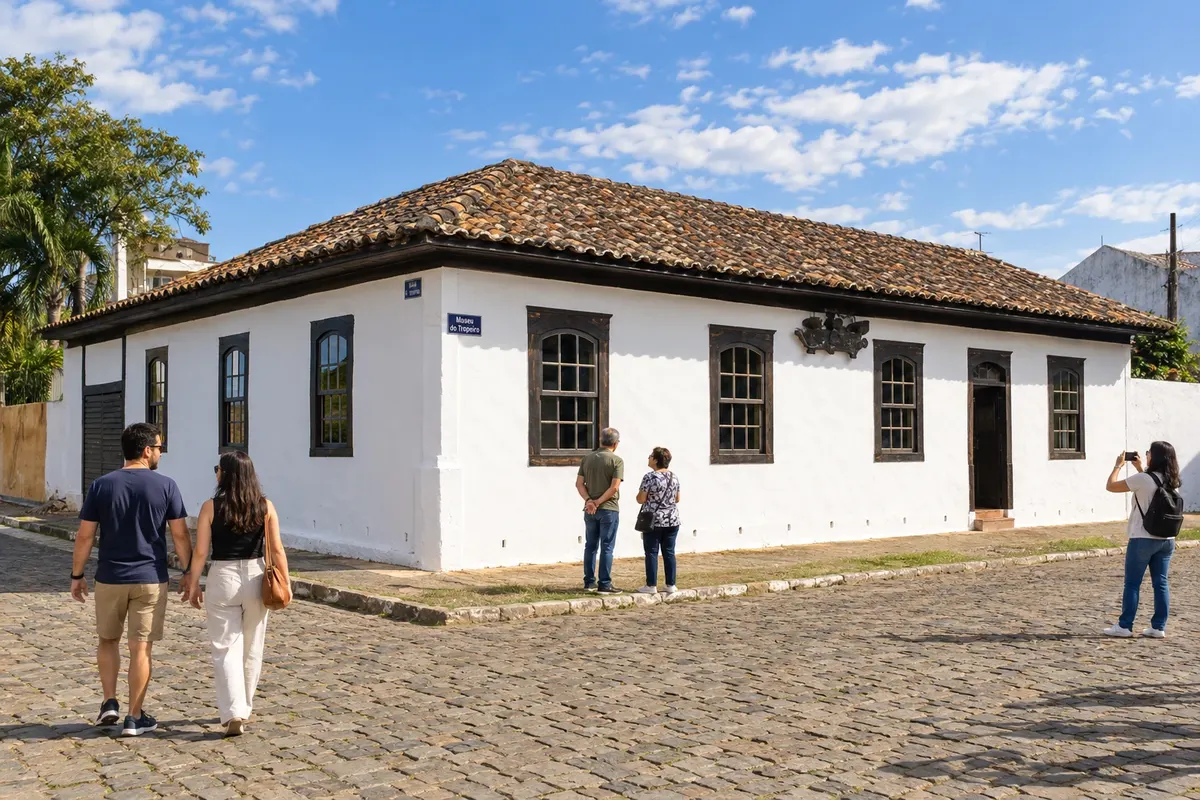
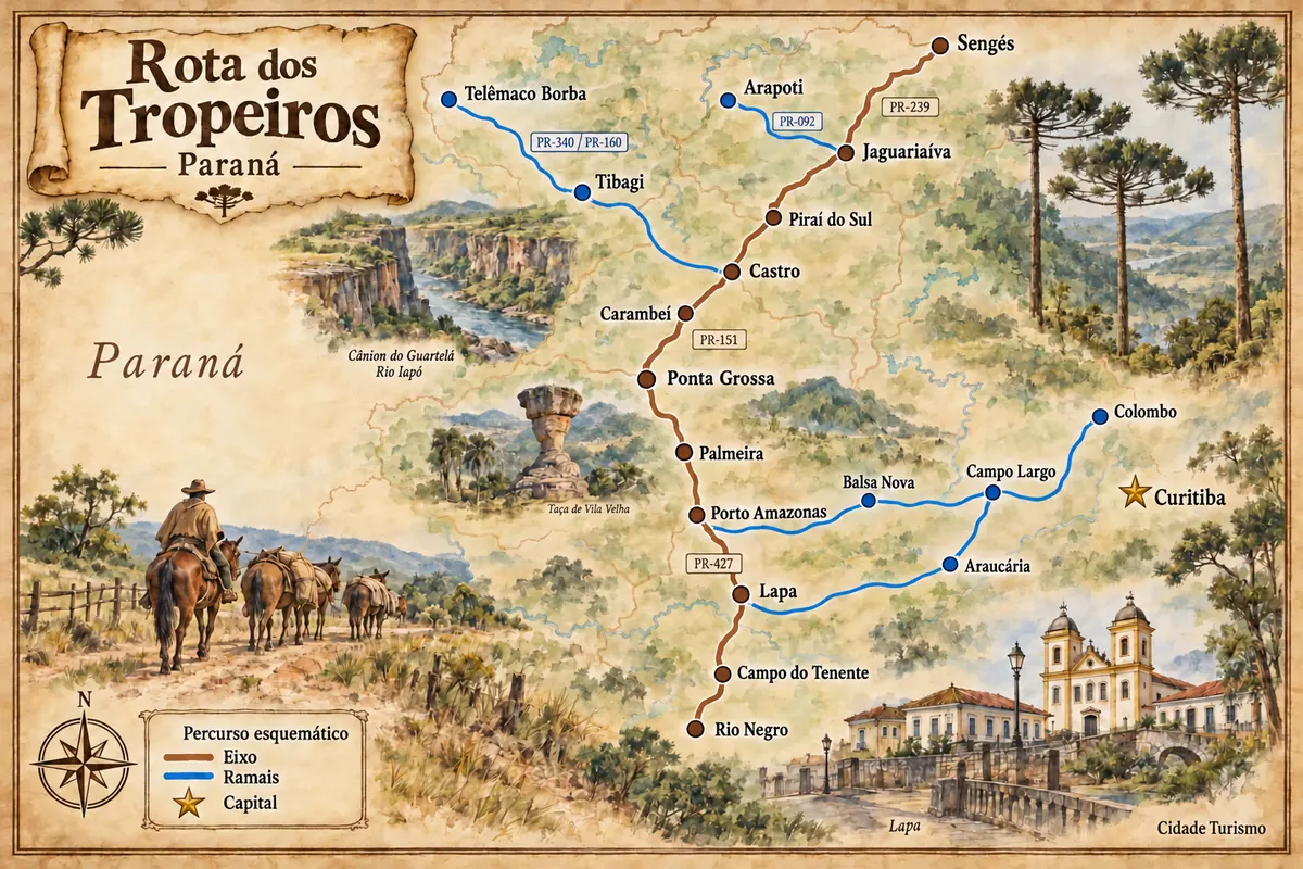
Campos Gerais is on the Rota dos Tropeiros

Historic routes, museums and landscapes between southern Paraná, the Região Metropolitana de Curitiba and the Campos Gerais.

Illustrative map, not to scale. Tap a city to open its page.
Illustrated map of Rota dos Tropeiros
Explore the Rota dos Tropeiros
Explore other destinations Search by state and city
Back