Waterfall
Cachoeira do Sobradinho
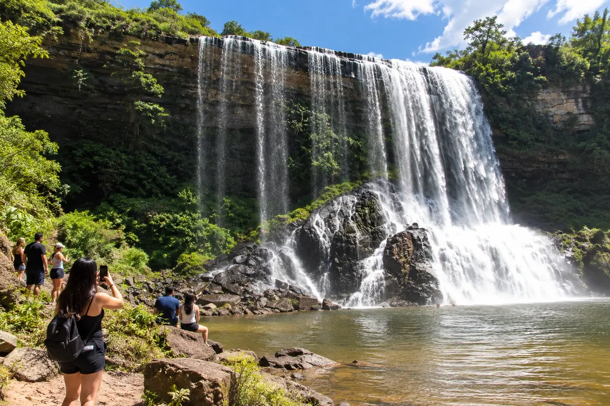
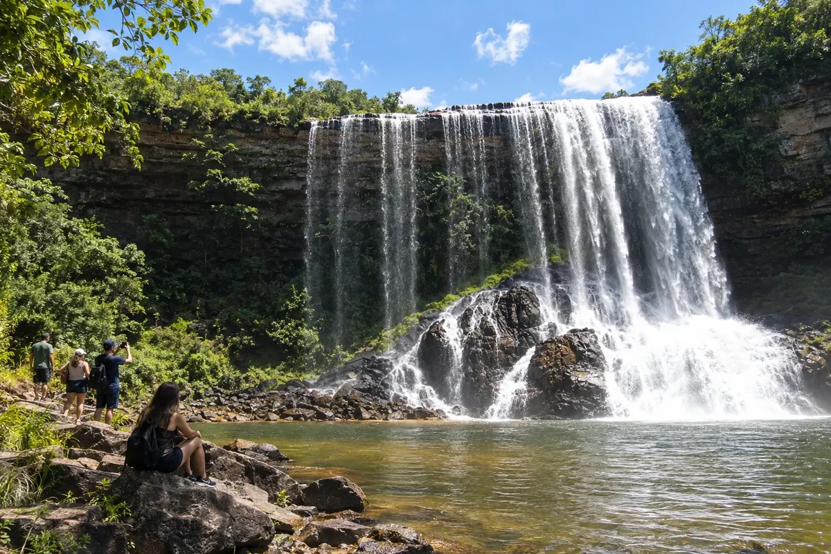
Waterfall also known as Véu da Noiva, located in the rural area of Sengés.
Discover Cachoeira do Sobradinho

Paraná · Brazil
In the destination Campos Gerais.
In the photo: Queda do Sobradinho in the rural landscape of Sengés.
Illustrative images. The pictures in this guide are illustrations based on the real place, not photographs, and may differ from it.
The city
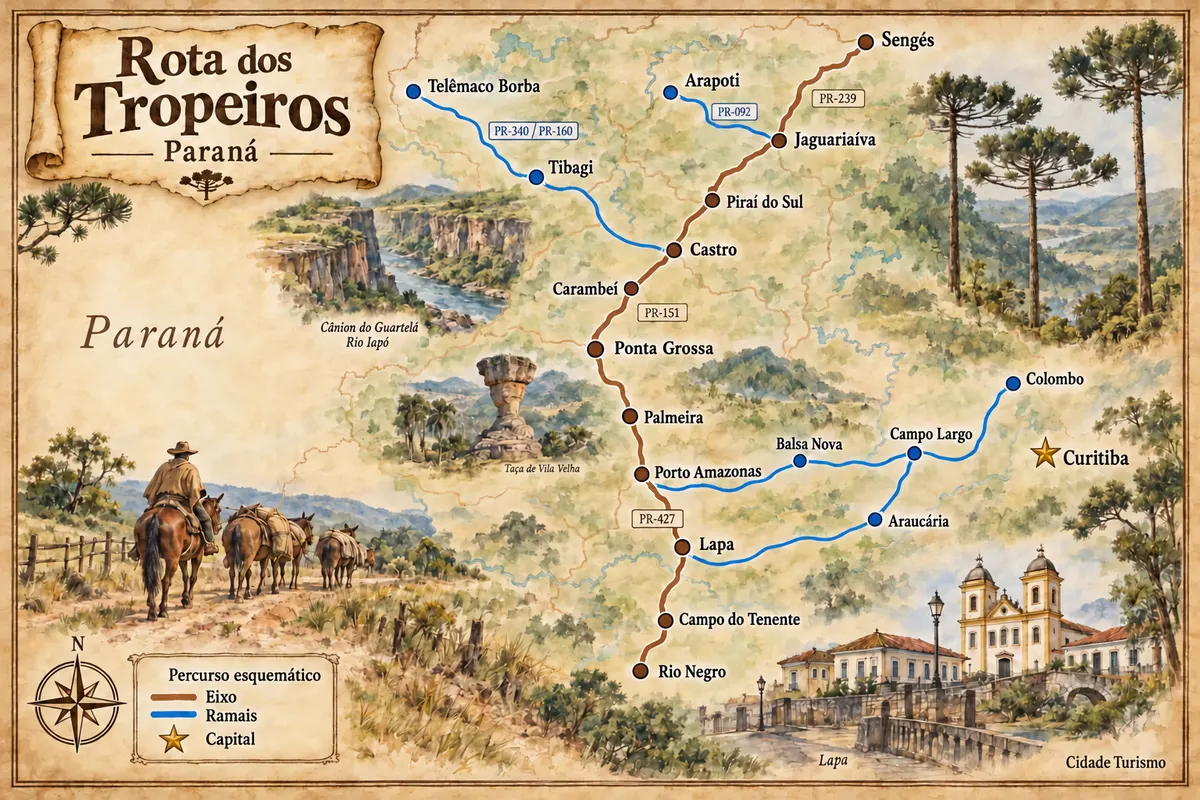
Sengés occupies the valleys on the edge of the Campos Gerais, near the São Paulo border. The Jaguaricatu landscape and the Cachoeira do Sobradinho give identity to nature outings, while the railway corridor marked timber exploitation and the town's development. The PR-151 and PR-239 connect the town to the axis coming from Jaguariaíva.
There's no accommodation in the guide yet in Sengés.
There are no restaurants in the guide yet in Sengés.
Know a good one? Recommend it to ushow to get there · how many days · itinerary · questions
The local experience
Waterfall also known as Véu da Noiva, located in the rural area of Sengés.
Discover Cachoeira do Sobradinho
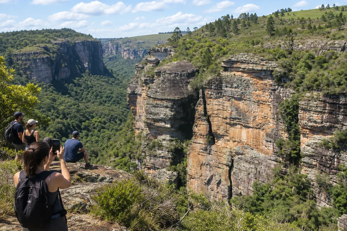
Valley of cliffs in the rural area of Sengés, traversed by paths for observing the terrain.
Discover Cânion do Jaguaricatu
Brazilian routes
Historic routes, museums and landscapes between southern Paraná, the Região Metropolitana de Curitiba and the Campos Gerais.