
Route · PE
Rota 60 – Litoral Sul
Beaches, reefs and estuaries between Recife and the extreme south of the Pernambuco coast.
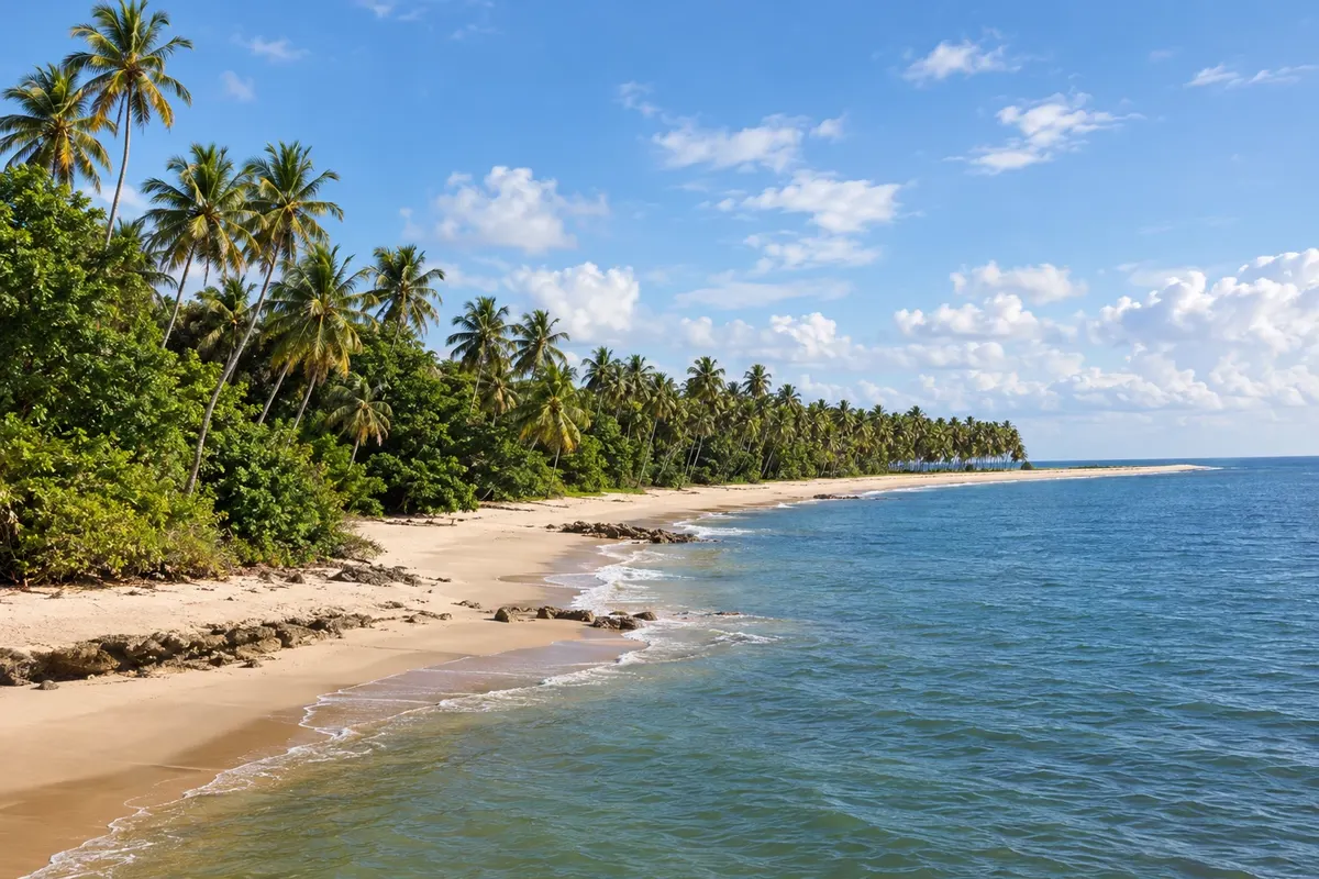
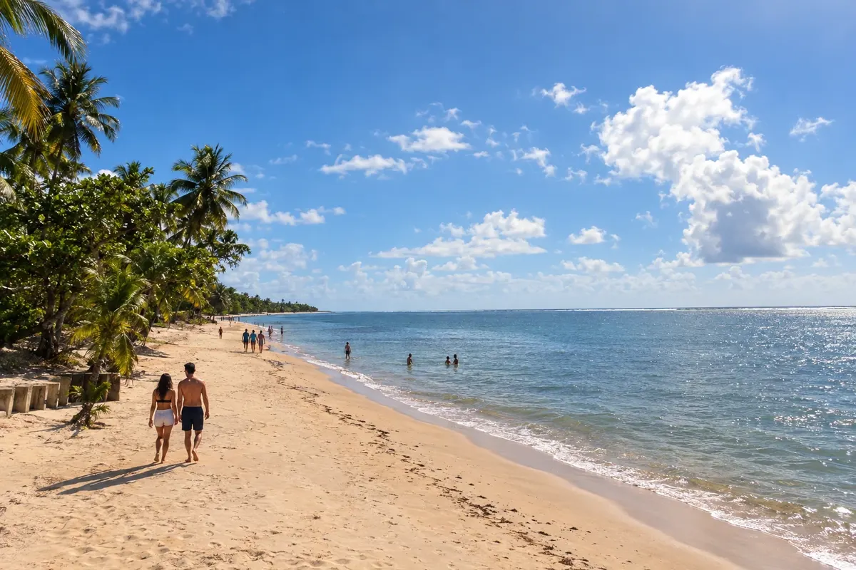
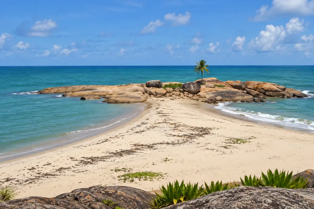
In the photo: Coconut palms and sand on the shore of Guadalupe.
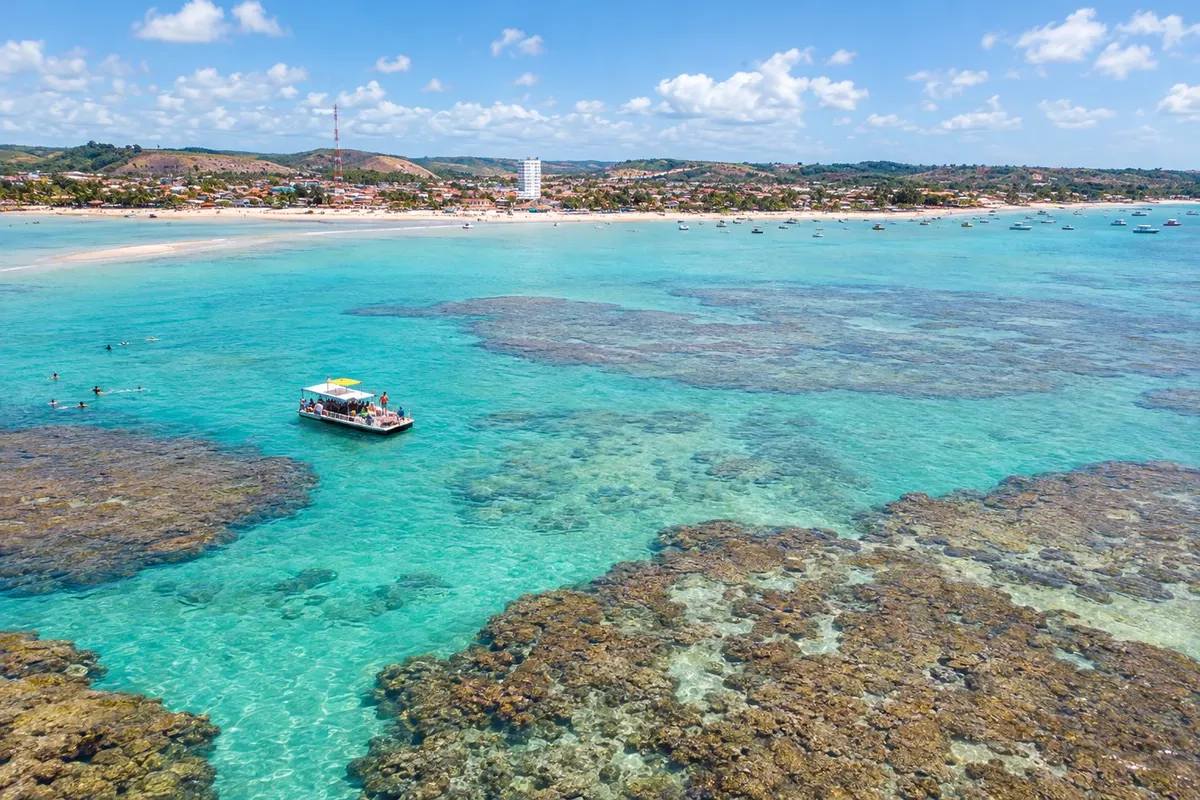
Illustrative images. The pictures in this guide are illustrations based on the real place, not photographs, and may differ from it.

The route
What the Rota 60 – Litoral Sul is
Rota 60 links the municipalities of Pernambuco's southern coast along the PE-060 corridor, starting from Recife with branches to beaches and fishing communities. Cabo de Santo Agostinho, Ipojuca, Sirinhaém, Rio Formoso, Tamandaré, Barreiros and São José da Coroa Grande form the stages after the state capital.
Porto de Galinhas, Muro Alto and Maracaípe appear on the Ipojuca stop; Guadalupe belongs to Sirinhaém and Carneiros is in Tamandaré. The trip alternates coves amid rocks, stretches with reefs and mangrove environments. Engenho Massangana and the urban heritage add cultural visits to the coastal route.
Local accesses go beyond the main road. Splitting nights between two or three hubs reduces back-and-forth travel and allows time for community-run excursions. Embarked activities on the sea or rivers are organized separately, taking tide and navigation conditions into account.
The map
8 cities along the way
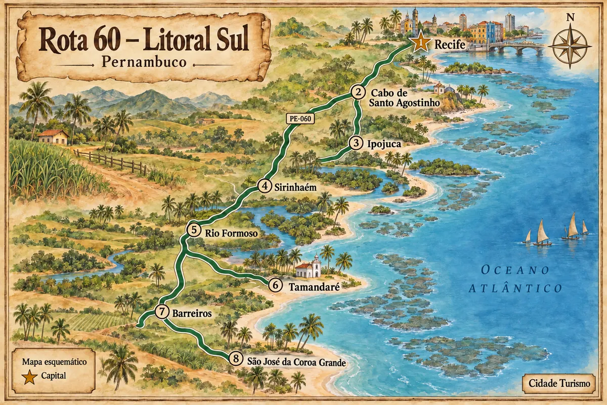
Mapa: @svg-maps/brazil, CC BY 4.0
The journey
City by city
Distances and times are approximate: check before you set off.
-
 1 · PE
Recife
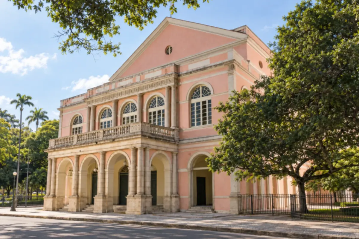
Recife interweaves rivers, bridges and historic neighborhoods, with Recife Antigo and the Museu Cais do Sertão among the cultural references. Boa Viagem adds an urban waterfront stage. The capital concentrates air arrivals and departures southward via the BR-101.
→ Cabo de Santo Agostinho Leave Recife via BR-101 toward the accesses for Cabo de Santo Agostinho and the PE-060. Gaibu and Calhetas use coastal approaches outside the municipal seat.
-
 2 · PE
Cabo de Santo Agostinho
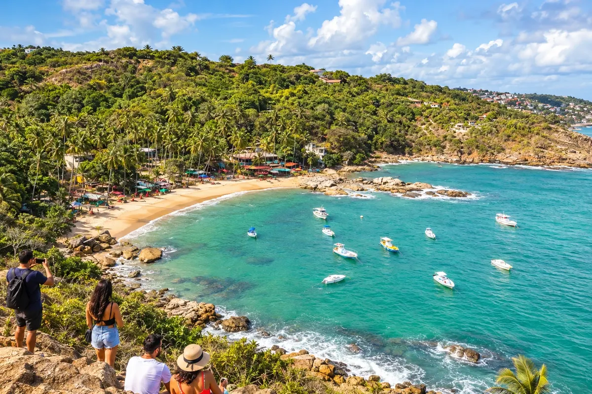
Cabo de Santo Agostinho gathers the coves of Calhetas and Gaibu, the promontory that gives the municipality its name, and Engenho Massangana, linked to Joaquim Nabuco’s childhood. Industry and the Suape complex coexist with beach hubs and rural heritage. On Rota 60, the city is the first stop after Recife.
→ Ipojuca The PE-060 links the Cabo and Ipojuca corridors. For Porto de Galinhas and Muro Alto, choose the coastal branch PE-009 according to the location of your accommodation.
-
 3 · PE
Ipojuca
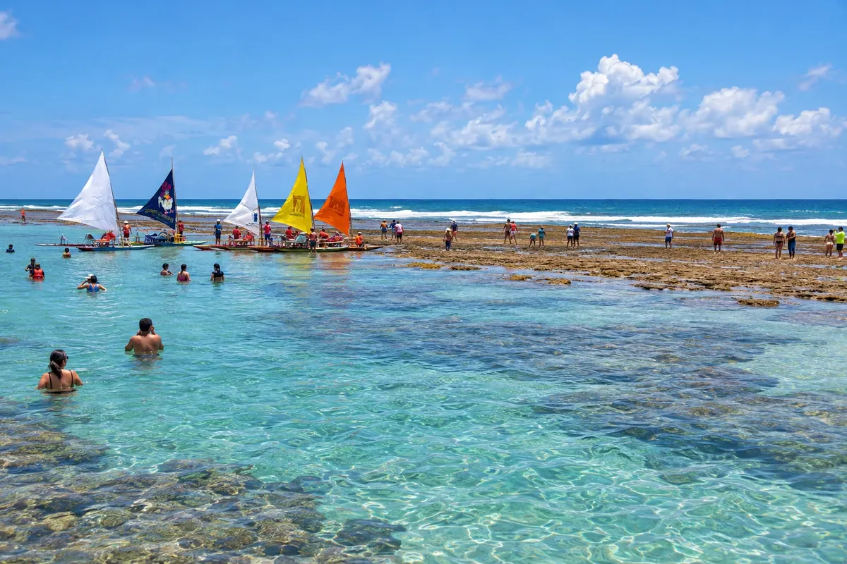
Ipojuca brings together Porto de Galinhas, Muro Alto and Maracaípe on the coast, as well as its seat tied to the history of the engenhos. Reefs and estuarine areas provide different landscapes to the localities. The choice of beach base determines which branches to use from the PE-060 corridor.
→ Sirinhaém From Ipojuca, return to the PE-060 toward Sirinhaém. The Barra de Sirinhaém has a local access that is different from the approach to the town seat and the route to Guadalupe.
-
 4 · PE
Sirinhaém
Sirinhaém has a town center tied to the engenhos of the Mata Sul and a coast made up of the Barra de Sirinhaém, Guadalupe and A Ver o Mar. Ilha de Santo Aleixo lies off this coast and is reached by boat. The municipality combines PE-060 accesses with branches to the beaches and the estuary.
→ Rio Formoso The link between Sirinhaém and Rio Formoso follows the PE-060 through the Mata Sul, with sugarcane areas and accesses to urban centers and the estuary.
-
 5 · PE
Rio Formoso
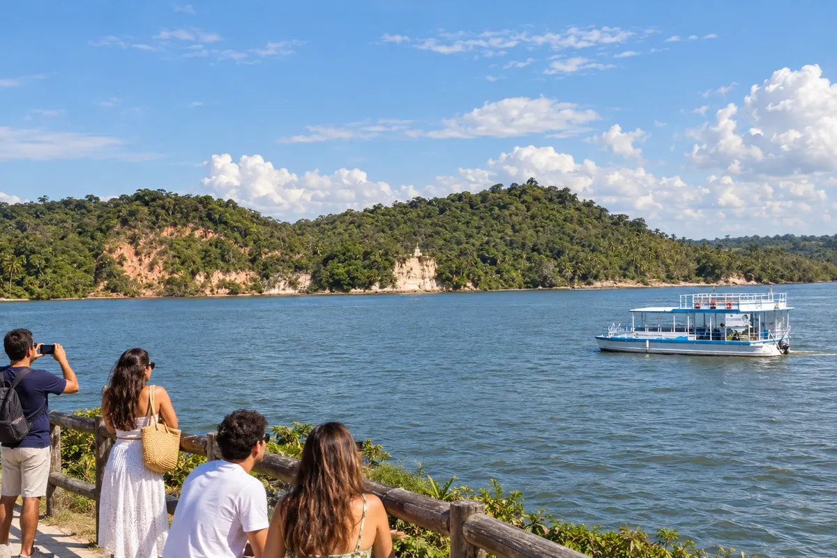
Rio Formoso grew up along the river of the same name and preserves houses linked to the history of the Mata Sul. The estuary brings together mangroves, channels and fishing communities that connect to the coasts of Sirinhaém and Tamandaré. The town seat lies on the PE-060 axis, allowing the fluvial landscape to be included among Rota 60’s beach stages.
→ Tamandaré From Rio Formoso, follow the PE-060 to Saltinho and the PE-076 to Tamandaré. Carneiros uses a local approach that is different from the arrival to the town center.
-
 6 · PE
Tamandaré
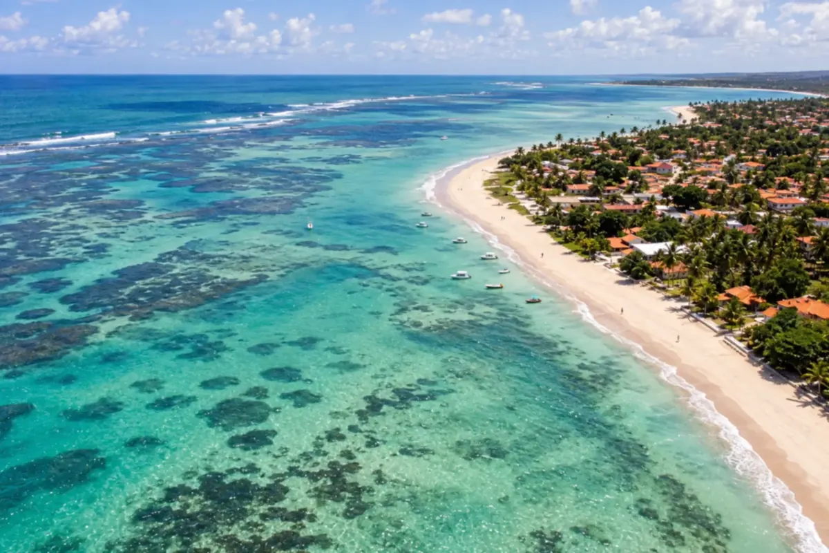
Tamandaré has Praia dos Carneiros beside the landscape of the Rio Formoso mouth and the Forte de Santo Inácio de Loyola linked to coastal defense. The town can serve as a beach base for excursions in the Mata Sul. The road access from Saltinho uses the PE-076.
→ Barreiros Leave Tamandaré via PE-076 to Saltinho and continue on PE-060 toward Barreiros. Praia do Porto requires its own coastal access.
-
 7 · PE
Barreiros
Barreiros features Praia do Porto and the landscape tied to the mouth of the Rio Una, as well as an urban center located on the PE-060 corridor. The sugarcane history of the Mata Sul shaped its formation. The stop connects Tamandaré to the coastal localities at Pernambuco’s southern extreme.
→ São José da Coroa Grande The PE-060 takes you from Barreiros to São José da Coroa Grande. The central beach and Vila da Várzea do Una use different accesses within the municipality.
-
 8 · PE
São José da Coroa Grande
São José da Coroa Grande sits at the southernmost end of the Pernambuco coast and is part of the APA Costa dos Corais. The town’s name relates to the sandbanks that emerge at low tide. Besides the beach by the center, Vila da Várzea do Una features an estuary and mangrove landscape. It is the last municipal stage of Rota 60 before the border with Alagoas.
How many days
Six to nine days to split the trip between Recife, the beaches of Ipojuca and the coastline of Tamandaré and São José da Coroa Grande. Reserve a separate stage for Santo Aleixo or the estuary you choose.
Best time to go
From September to February it usually rains less on the southern coast. Rainfall is heavier from March to July. Reef outings depend on the tide and sea conditions; for boat trips to Santo Aleixo and the estuaries, arrange pickup and navigation before departure.
The seasons shown are the most usual ones; nature doesn't always follow the calendar.
How to travel it
Take the BR-101 when leaving Recife and use the PE-060 as the main axis between municipalities. The PE-009 and other branches reach the beach hubs; Tamandaré is connected by the PE-076 from Saltinho. A car or hired transport makes it easier to alternate bases and excursions. Boats are an additional activity to arrange for islands and estuaries.
Who it's for
For those who want to combine beaches, fishing communities, mangroves and historical heritage, using highways and local accesses along the Pernambuco coast.
Your questions
Frequently asked questions about the Rota 60 – Litoral Sul
Where to split accommodations?
Recife, the Ipojuca hubs and the coastline of Tamandaré or São José da Coroa Grande are bases for different stages. Check the exact location of your lodging before planning departures.
Are the beach localities separate municipalities?
Porto de Galinhas, Muro Alto and Maracaípe belong to Ipojuca. Carneiros is in Tamandaré; Guadalupe is a beach of Sirinhaém.
Do I need a boat to do the entire route?
The towns and land-based beaches are connected by road and local accesses. Santo Aleixo and estuary trips add optional boat segments.
How to fit a visit to the reefs?
Choose an activity approved by authorized personnel and adapt it to the tide table and sea conditions, preserving formations and organisms.
Does the PE-060 pass in front of all the beaches?
The highway functions as an axis through the coastal interior. Beaches and embarkation points are on different branches, and the chosen hub defines the local access.