
Route · BA
Linha Verde
From Praia do Forte to the municipality of Jandaíra, the Linha Verde connects settlements, beaches and estuaries of the North Coast of Bahia, with local access points to reach Mangue Seco.
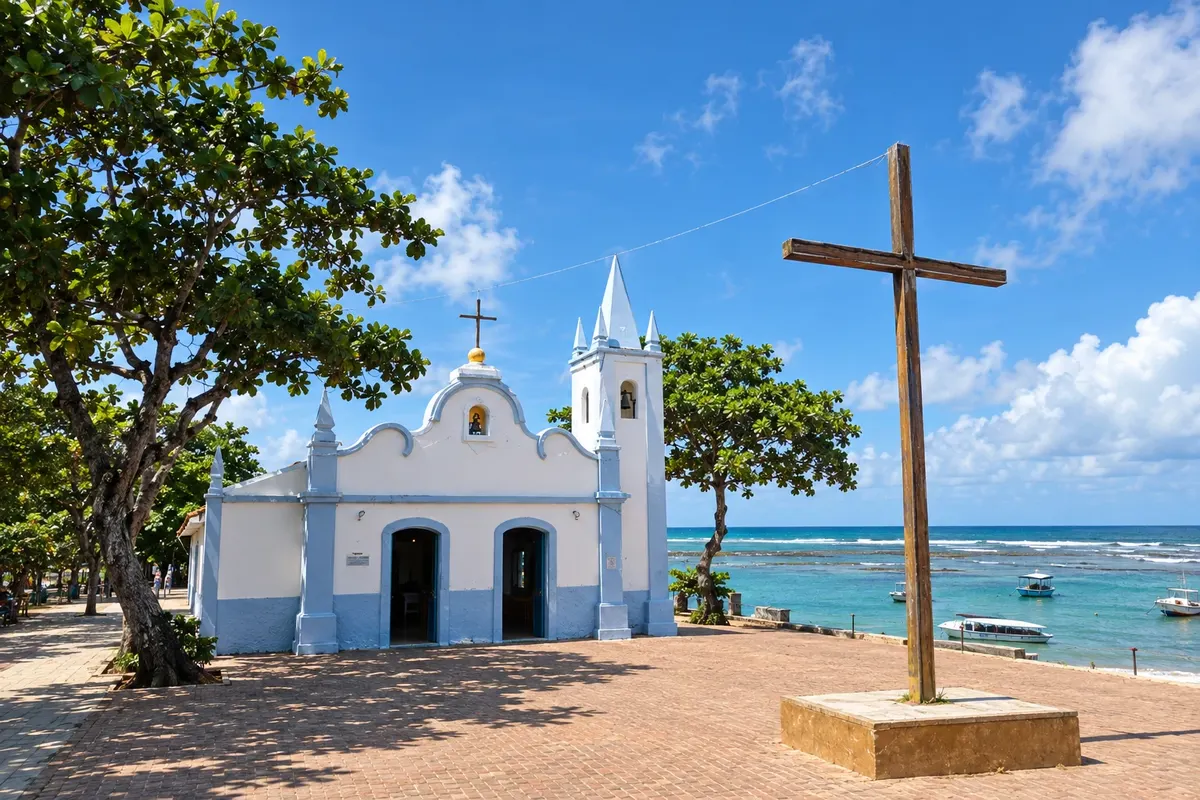
In the photo: Igreja São Francisco de Assis, in Praia do Forte, Mata de São João.
Illustrative images. The pictures in this guide are illustrations based on the real place, not photographs, and may differ from it.

The route
What the Linha Verde is
The Linha Verde is the section of the BA-099 that extends the Estrada do Coco from Praia do Forte. This route follows the coastline of five municipalities, between Mata de São João and Jandaíra. The entrances to the beaches branch off the main road and provide access to fishing communities, restingas, dunes and estuaries. Mangue Seco concludes the trip as a settlement of Jandaíra; arrival there depends on a local access separate from the highway.
The map
5 cities along the way
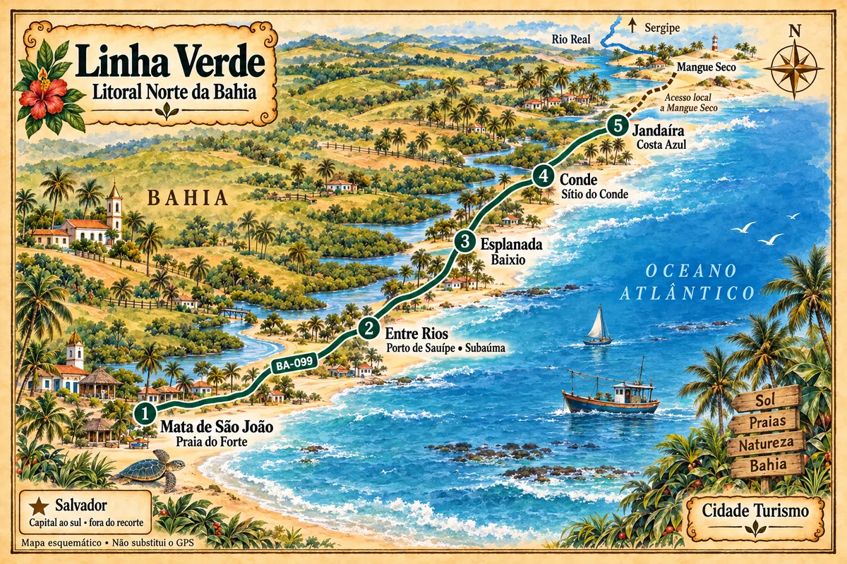
Mapa: @svg-maps/brazil, CC BY 4.0
The journey
City by city
Distances and times are approximate: check before you set off.
-
 1 · BA
Mata de São João
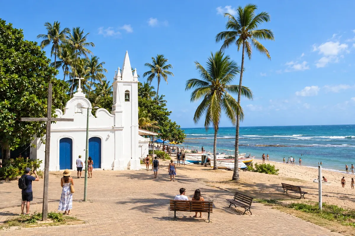
Mata de São João brings together in Praia do Forte the sea turtle conservation work of Projeto Tamar and the heritage of Castelo Garcia D’Ávila. In Imbassaí, the river runs alongside the sand strip before reaching the sea. The municipality's coastline marks the start of this route along the Linha Verde.
→ Entre Rios From Praia do Forte, head north on the BA-099, in the Linha Verde segment. The detours to Porto de Sauípe, Massarandupió and Subaúma lead to the coastal settlements of Entre Rios; the municipal seat lies outside this axis.
-
 2 · BA
Entre Rios
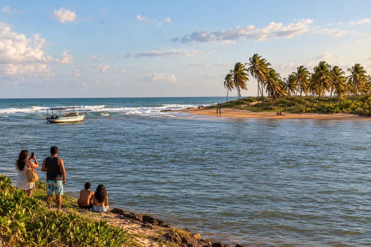
Entre Rios has its coastline distributed among Porto de Sauípe, Massarandupió and Subaúma. The meeting of the Rio Sauípe with the sea and the piaçava straw handicrafts are part of Porto de Sauípe; in Subaúma, the reefs appear with the tide. The Linha Verde provides access to these settlements, which are separate from the municipal seat.
→ Esplanada Return to the BA-099 after visiting Entre Rios' coastline and proceed to the access to Baixio via the BA-400. The main connection is paved; the visit to Esplanada's lagoons involves local routes and specific visiting conditions.
-
 3 · BA
Esplanada
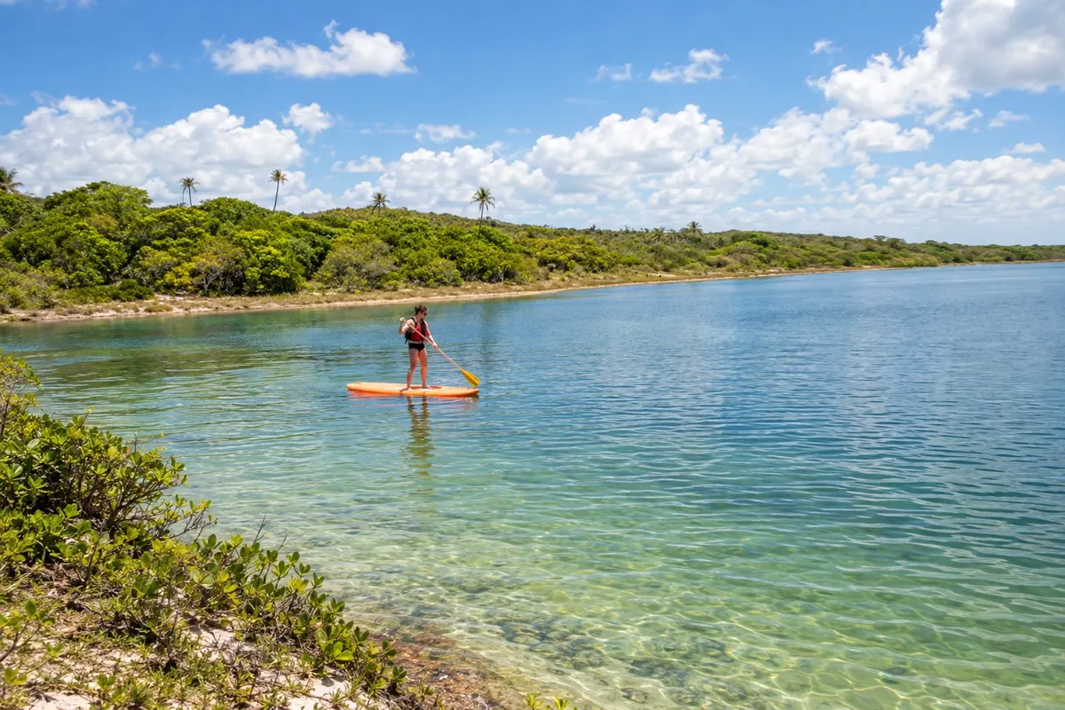
Esplanada reaches the sea via the district of Baixio, where the beach and Lagoa Azul concentrate visits to the coastal landscape. The Barra do Rio Inhambupe adds another scene of waters meeting. In this itinerary, entry into the municipality is made via the coast, with a detour from the BA-099 to Baixio rather than through the inland seat.
→ Conde Leave Baixio via the BA-400 access and continue north on the BA-099. Conde's access system includes the BA-233; the coastal detours lead to Barra do Itariri, Sítio do Conde, Poças and Siribinha.
-
 4 · BA
Conde
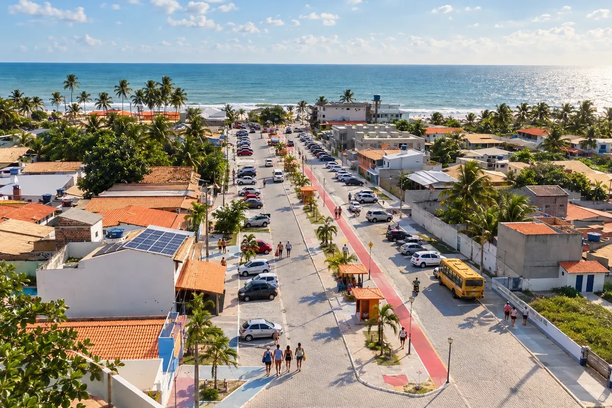
Conde brings together four coastal localities with distinct beach names: Barra do Itariri, Sítio do Conde, Poças and Siribinha. In the latter, the estuary of the Rio Itapicuru is part of the landscape; Poças maintains a fishing community. Accesses from the Linha Verde lead to different points along this coastline.
→ Jandaíra The BA-099 continues from Conde into the territory of Jandaíra. Costa Azul is reached via the BA-782; the paving announced for 2026 is not considered completed. Mangue Seco requires local access by water via Pontal/SE or by a 4x4 vehicle via Coqueiro.
-
 5 · BA
Jandaíra
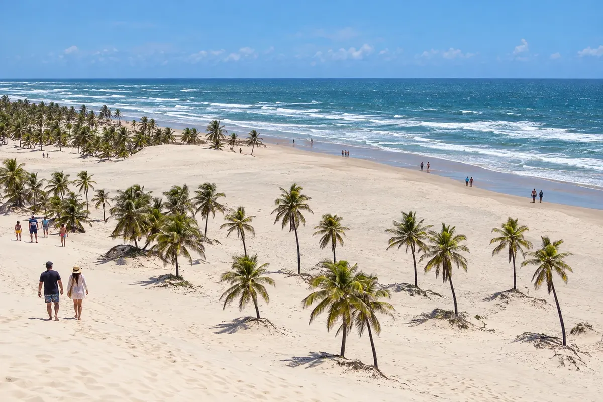
Jandaíra hosts Mangue Seco, a fishing village associated with the novel Tieta do Agreste by Jorge Amado, set between dunes and the estuary of the Rio Real. The beaches of Costa Azul and Coqueiro also belong to the municipality. The final stage requires a local access to the village: the BA-099 does not end inside the village of Mangue Seco.
How many days
Allow four to six days to spread visits among the settlements and prepare the final access to Mangue Seco.
Best time to go
Check the forecast for the coast and plan outings according to the tide. Rainy days can change the conditions of local sandy and unpaved access routes.
How to travel it
Use the BA-099 as the main axis and take the detours to the coastal settlements. The main stretch is road-based; for Mangue Seco, combine a water access or an appropriate vehicle, depending on local conditions and rules.
Who it's for
For those who want to drive the North Coast of Bahia and visit coastal localities beyond the busiest beaches.
Your questions
Frequently asked questions about the Linha Verde
Does the Linha Verde start in Salvador?
In this itinerary, the name Linha Verde identifies the stretch of the BA-099 starting at Praia do Forte, in the municipality of Mata de São João. Salvador is a reference point for arrival; the Estrada do Coco lies before the chosen segment.
Do I need to change accommodation during the route?
A single base requires returning via the highway after outings. For a staged trip, distribute nights among coastal localities and plan the final transfer according to the access chosen to Mangue Seco. Check where the accommodation is located in relation to the beach and the BA-099.
Is it possible to reach Mangue Seco by car via the BA-099?
The highway does not enter the village. The final stretch must be arranged separately, with a water crossing from Pontal, in Sergipe, or an authorized 4x4 vehicle access from Coqueiro. Confirm local conditions before traveling.
Is a car necessary to explore the Linha Verde?
A car or hired transport makes it easier to combine the BA-099 with detours to beaches and settlements. Without your own vehicle, check the services available for each access and arrange the return; the final crossing to Mangue Seco requires separate transport.
How to plan visits to the beach?
Check the weather forecast, the tide and the most recent bathing water quality bulletin. dune, restinga and mangrove environments are subject to conservation rules; use the indicated access points and respect local guidance.