Bahia · Brazil
Entre Rios
In the destination Costa dos Coqueiros.
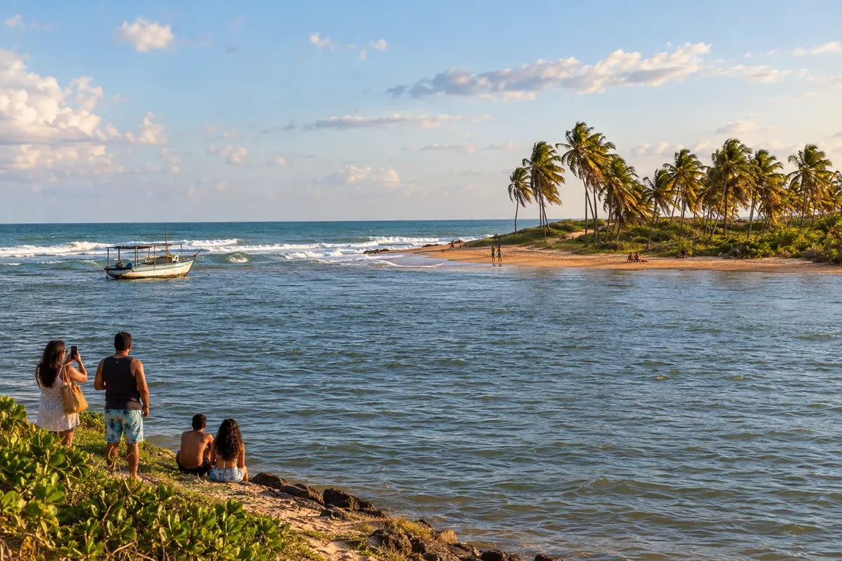
In the photo: Porto de Sauípe, on the coast of Entre Rios.
Illustrative images. The pictures in this guide are illustrations based on the real place, not photographs, and may differ from it.

The city
What to expect from Entre Rios.
Entre Rios has its coastline spread between Porto de Sauípe, Massarandupió and Subaúma. The meeting of the Rio Sauípe with the sea and the piaçava straw crafts are part of Porto de Sauípe; in Subaúma, the reefs appear according to the tide. The Linha Verde provides access to these villages, which are separate from the municipal seat.
Where to stay
There's no accommodation in the guide yet in Entre Rios.
Where to eat
There are no restaurants in the guide yet in Entre Rios.
Know a good one? Recommend it to usYour trip
how to get there · questions
Brazilian routes
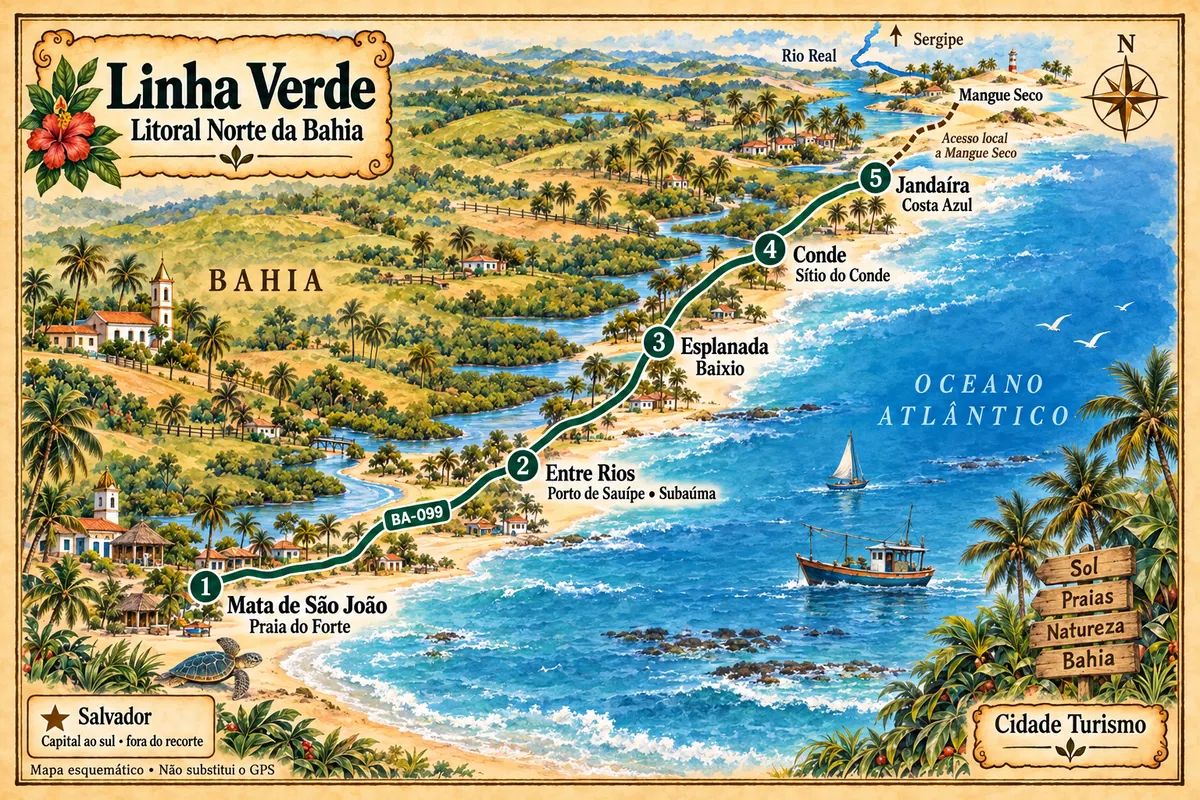
Entre Rios is part of the Linha Verde
From Praia do Forte to the municipality of Jandaíra, the Linha Verde connects settlements, beaches and estuaries of the North Coast of Bahia, with local access points to reach Mangue Seco.