
Route · RJ,SP
Rio–Santos
From the Costa Verde to the São Paulo coast, with beaches, heritage and an extension via Guarujá to Santos.
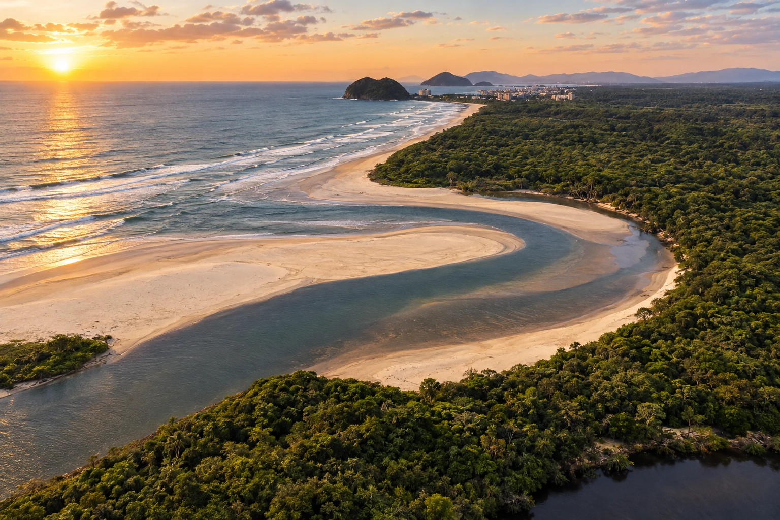
In the photo: Landscape of Itaguaré, in Bertioga, on the Rio–Santos route
Illustrative images. The pictures in this guide are illustrations based on the real place, not photographs, and may differ from it.

The route
What the Rio–Santos is
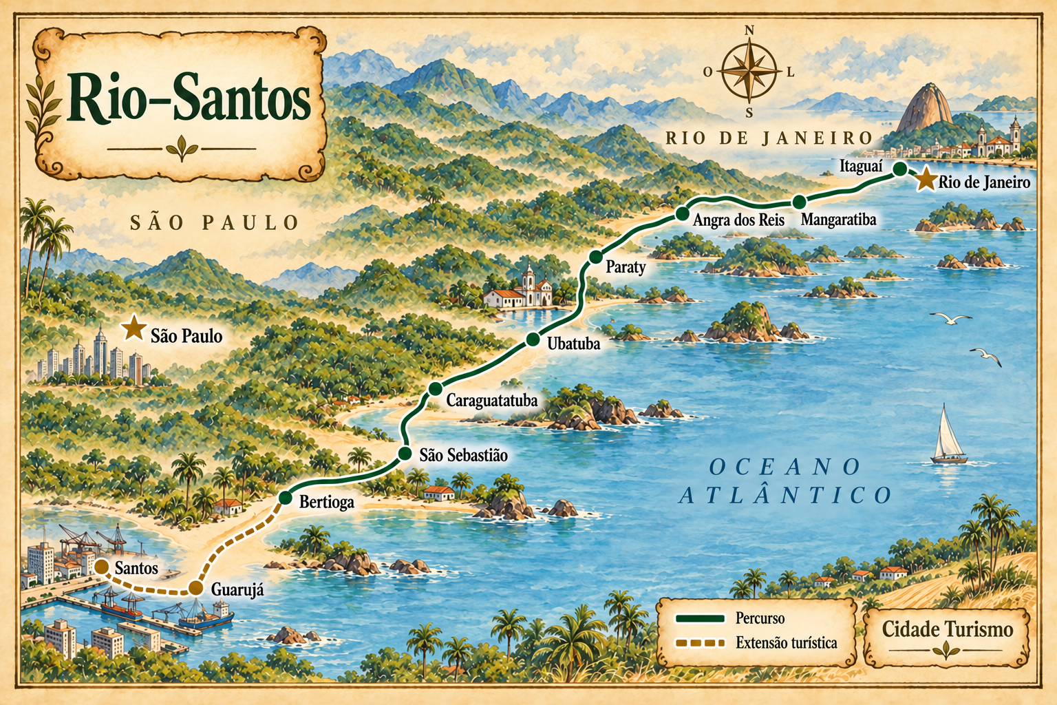
The Rio–Santos follows the coast between Rio de Janeiro and the Santos area. This route organizes stops from the fluminense capital to Bertioga, passing through the Costa Verde and the northern São Paulo coastline. Guarujá and the urban part of Santos are included as a tourist extension via crossings, with their own access.
In Rio de Janeiro, the road axis links Itaguaí, Mangaratiba, Angra dos Reis and Paraty. The landscape combines coastline and Atlantic Forest. Paraty allows for including historical heritage; in Angra, island trips need to be organized separately from road travel.
In São Paulo, the itinerary continues through Ubatuba, Caraguatatuba, São Sebastião and Bertioga. Choose beaches and bases according to the time available, instead of trying to visit every town for the same length of time. Bertioga combines coastal scenery with Forte São João and Parque dos Tupiniquins by the canal.
The connection to Guarujá can be made via the crossing from Bertioga; from Guarujá, another crossing allows you to continue to Santos. This extension is shown separately on the map. Check the operation of the crossings and the road conditions before you leave. The illustration shows the sequence and relative positions, without reproducing every access.
The map
11 cities along the way
The journey
City by city
Distances and times are approximate: check before you set off.
-
 1 · RJ
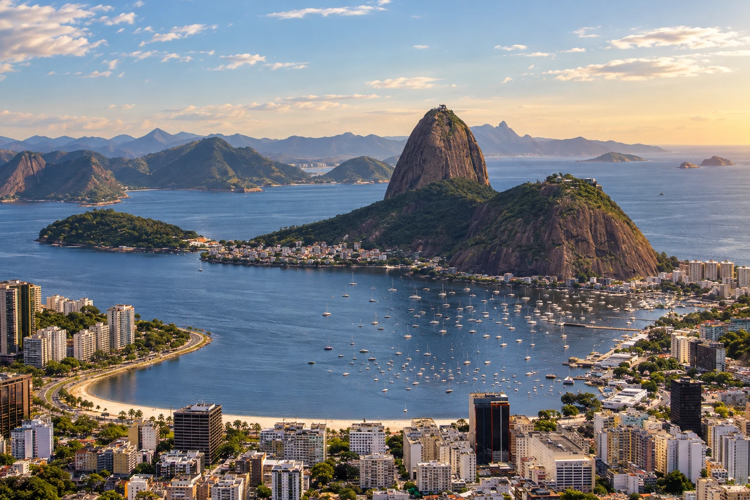
Rio de Janeiro
Fluminense capital and the start of this coastal route. Arrange access to the Rio–Santos axis.
→ Itaguaí Leaving Rio de Janeiro, take BR-101, the Rio–Santos, toward Itaguaí. This stage leaves the capital for the access axis to the Costa Verde; visiting the city requires the corresponding urban exit.
-
 2 · RJ
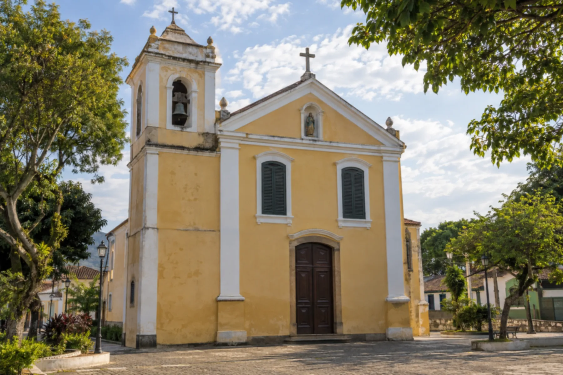
Itaguaí
Stop at the start of the Rio de Janeiro Costa Verde, on the road axis that continues to Mangaratiba.
→ Mangaratiba Itaguaí and Mangaratiba are linked by BR-101, in the fluminense stretch of the Rio–Santos. Use the access of your chosen location in Mangaratiba; boarding points for coastal tours have their own locations.
-
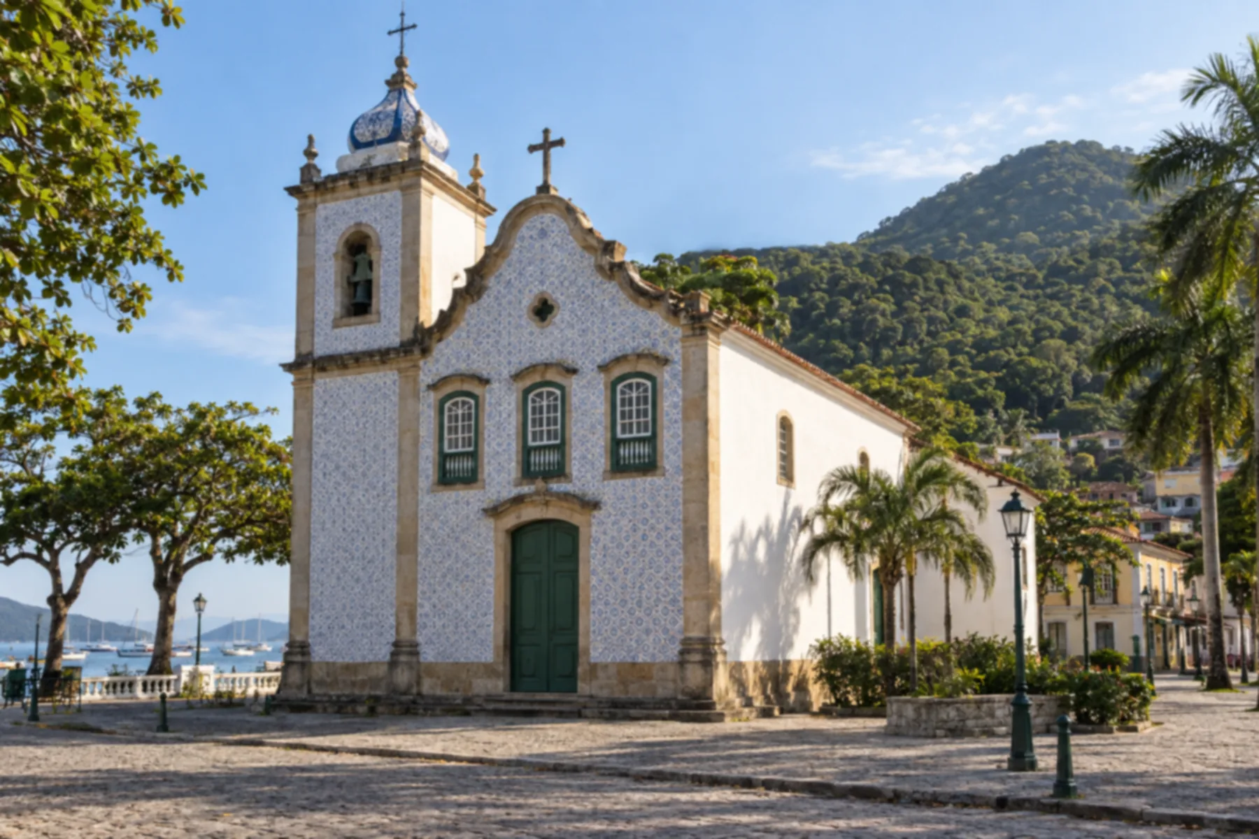 3 · RJ
Mangaratiba
Costa Verde base to organize a break before continuing to Angra dos Reis.
→ Angra dos Reis From Mangaratiba, BR-101 continues to Angra dos Reis along the Costa Verde. The road does not lead directly to the islands: go to the boarding address if your next activity requires navigation.
-
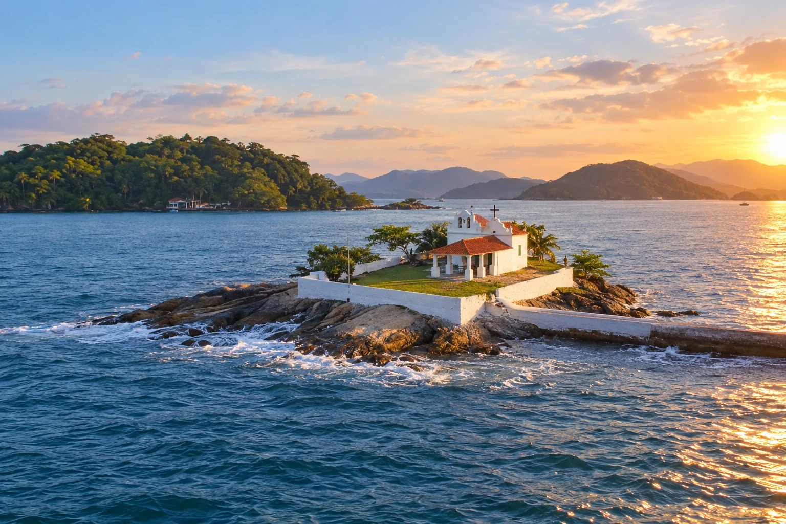 4 · RJ
Angra dos Reis
Base for excursions along the coastal scenery; organize island visits separately.
→ Paraty Angra dos Reis and Paraty are connected by BR-101 along the Costa Verde. Upon arrival in Paraty, leave the highway for the urban area; visiting the historic center is an activity separate from the road.
-
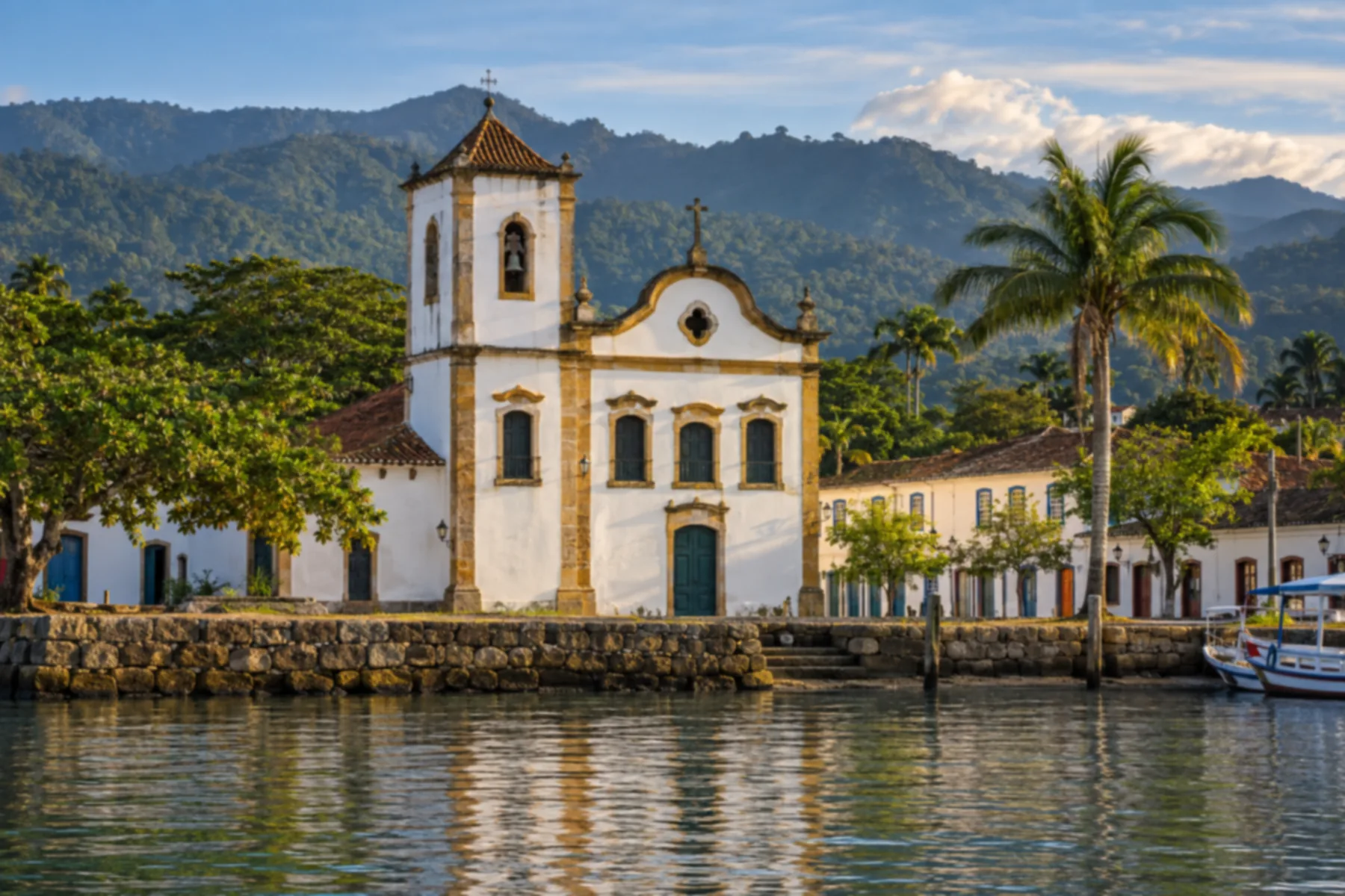 5 · RJ
Paraty
Combines historical heritage and coastal scenery before continuing to the São Paulo coast.
→ Ubatuba From Paraty to Ubatuba, continue on BR-101 and cross the border between Rio de Janeiro and São Paulo. The route follows the coast; preselect beach accesses, avoiding improvised stops on the roadway.
-
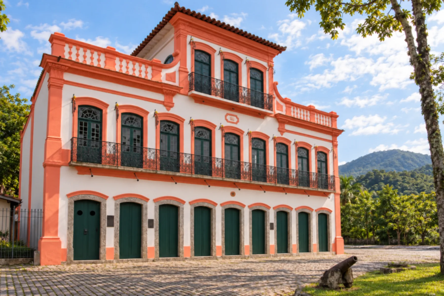 6 · SP
Ubatuba
Entry of the route into the São Paulo coast, with beaches that can be chosen according to available time.
→ Caraguatatuba The continuation from Ubatuba to Caraguatatuba follows the Rio–Santos on the SP-055 axis. It is a connection between coastal centers; each chosen beach has its own access off the main route.
-
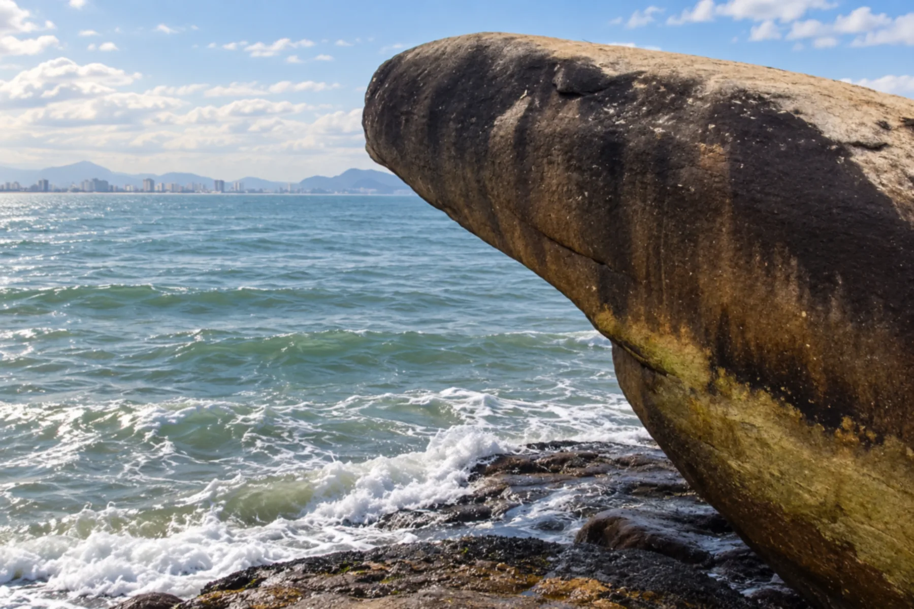 7 · SP
Caraguatatuba
Stop on the northern São Paulo coast before continuing toward São Sebastião.
→ São Sebastião Caraguatatuba and São Sebastião are connected by the SP-055 coastal axis. The Contornos da Tamoios offer another circulation option; to visit urban areas, choose the exit corresponding to your base.
-
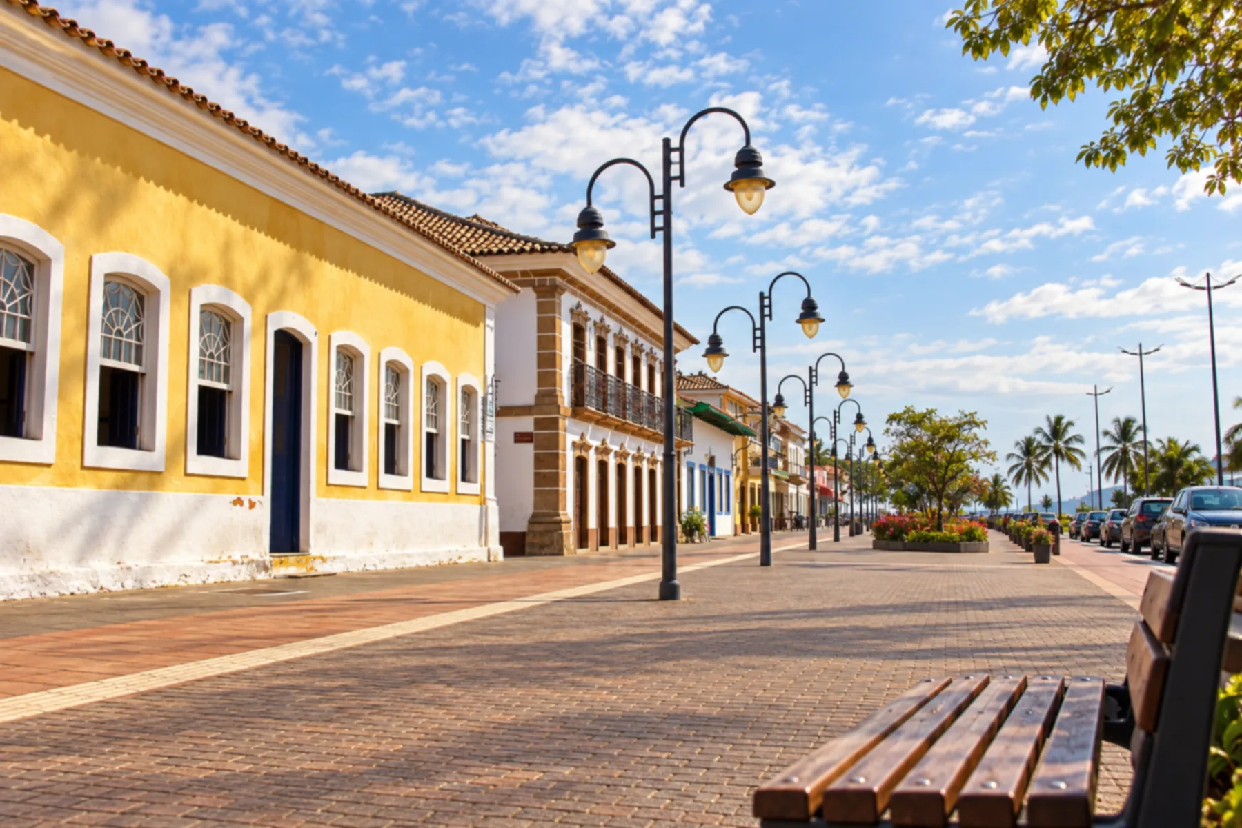 8 · SP
São Sebastião
Northern coast base with continuation along the coastal axis toward Bertioga.
→ Bertioga From São Sebastião to Bertioga, follow SP-055, the Rio–Santos, passing the accesses to São Sebastião's southern coast. In Bertioga, Forte São João is in the central area and requires leaving the highway.
-
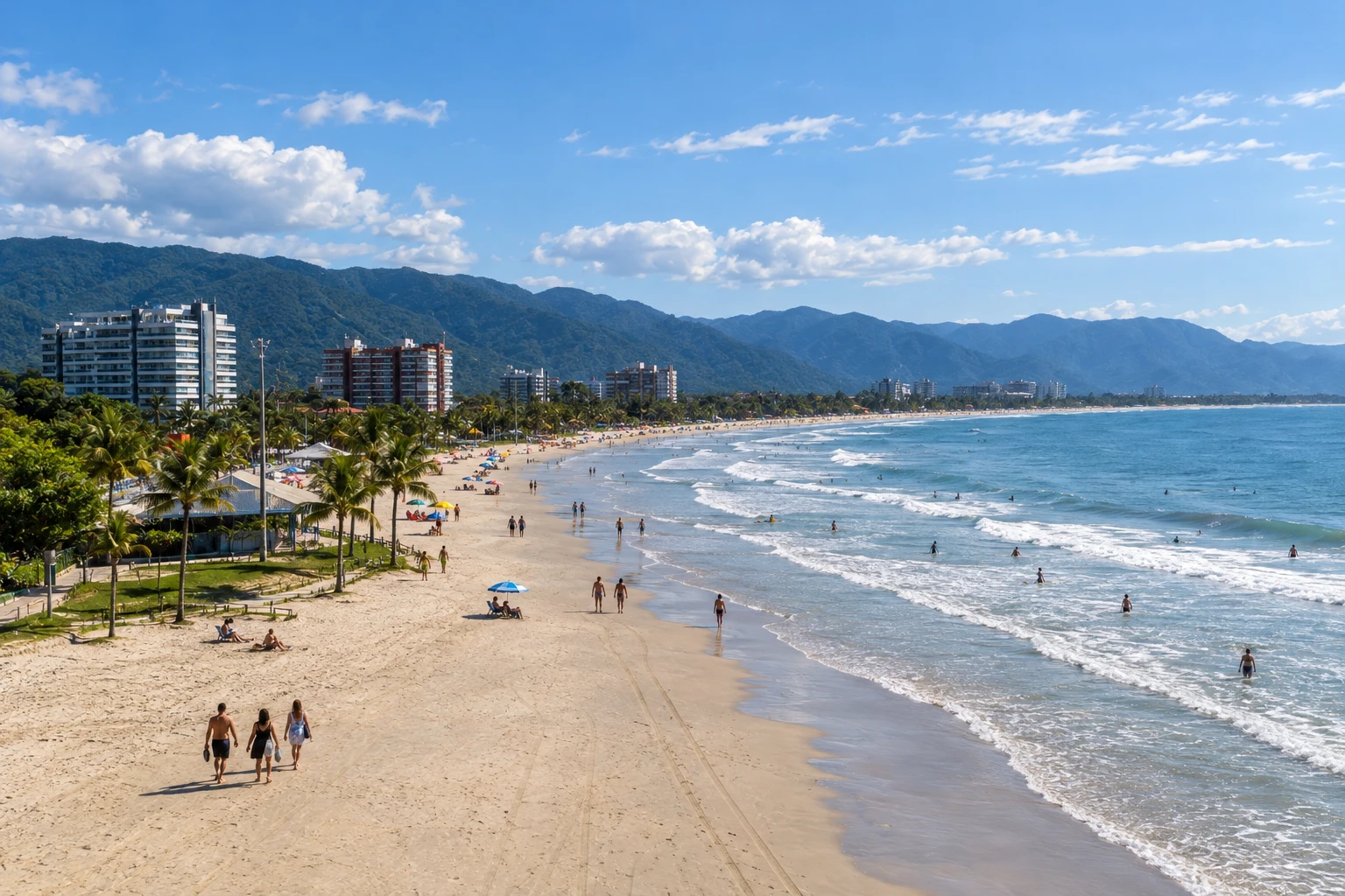 9 · SP
Bertioga
Combines Enseada, Itaguaré and the heritage along the canal. Marks the access to the Guarujá extension.
→ Guarujá Tourist extension via the Bertioga–Guarujá crossing and Guarujá's local accesses. Check operations and allow time for boarding; this stretch is distinct from the continuous Rio–Santos route.
-
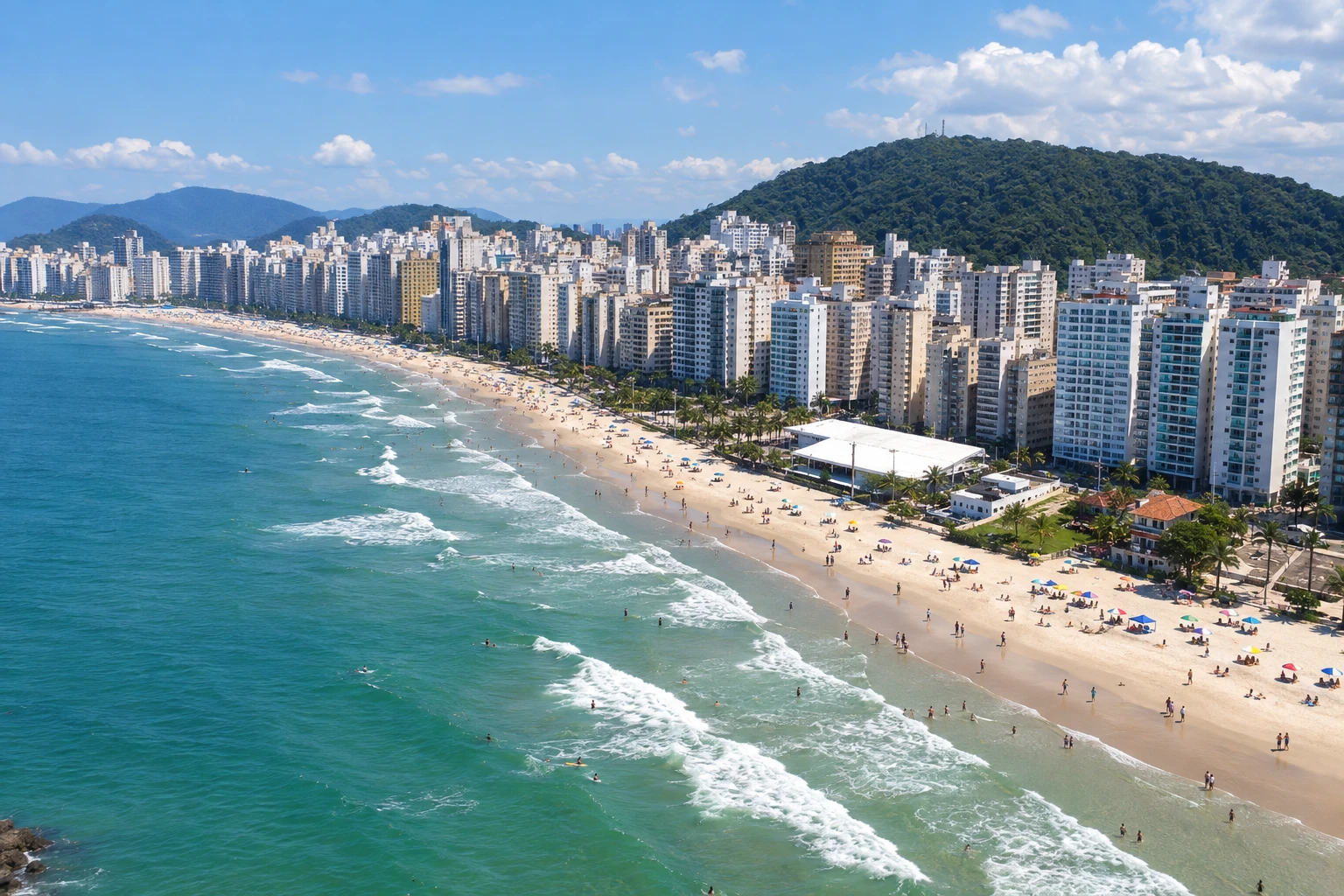 10 · SP
Guarujá
Tourist extension via crossing from Bertioga; the visit does not correspond to following the Rio–Santos route in full.
→ Santos Continuation of the extension via the Guarujá–Santos crossing. Confirm operations for your date and arrange access to Santos' urban area after disembarking.
-
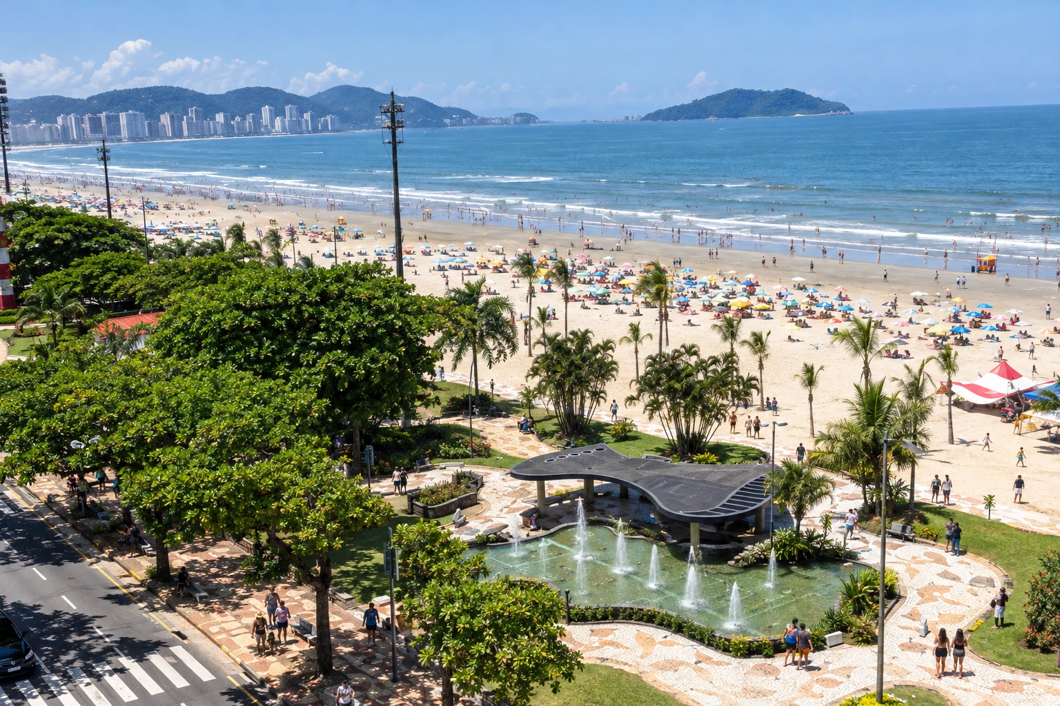 11 · SP
Santos
End of the tourist extension, accessible from Guarujá by crossing. Arrange arrival to the urban area.
How many days
We suggest ten to fourteen days to choose excursions and alternate bases without concentrating the trip on transfers. With less time, select a segment of the route. The duration is an editorial suggestion and depends on the beaches, the visits, and the arrival and departure days.
Best time to go
Plan according to the forecast and the type of outing. Rain can change access conditions and outdoor activities. For beaches and boat trips, confirm sea conditions; for road sections and crossings, check advisories shortly before departure.
How to travel it
Organize travel along the BR-101 and SP-055 axis, with local accesses to towns and excursions. For the extension via Guarujá and Santos, check the crossings. By car, check road conditions and the operator's directions; by bus, confirm each connection before finalizing your bases.
Who it's for
For those who enjoy coastal trips with beaches, heritage and stops in different towns. Choose excursions according to the group's pace and needs; the route can be done in parts.
Your questions
Frequently asked questions about the Rio–Santos
Do I need to visit all the towns/cities?
No. The sequence helps organize a coastal trip, but you can choose a segment and extend your stay at preferred bases.
Is Guarujá on the highway's continuous route?
In this itinerary, Guarujá is included as a tourist extension via a crossing from Bertioga. This extension is differentiated from the main route in the text and on the map.
How do I continue from Guarujá to Santos?
There is a crossing between Guarujá and Santos. Check operations for the date and allow time for boarding and arrival to the urban area.
Are island excursions included in the sections?
No. Transfers to the islands and boat trips need to be arranged separately, according to local rules and conditions.
How many days should I reserve?
We suggest ten to fourteen days to select tours and bases. With less time, choose part of the route; the duration depends on your pace and transfers.
Does the map serve as navigation?
No. It shows relative positions and the sequence, and crossing distances may vary. Consult local navigation and local guidance for actual access.