
Route · RN
Rota do Sol
From Natal to Nísia Floresta, RN-063 connects beaches, cliffs and lagoons of the southern coast of Rio Grande do Norte, with a stop at the Cajueiro de Pirangi in Parnamirim.
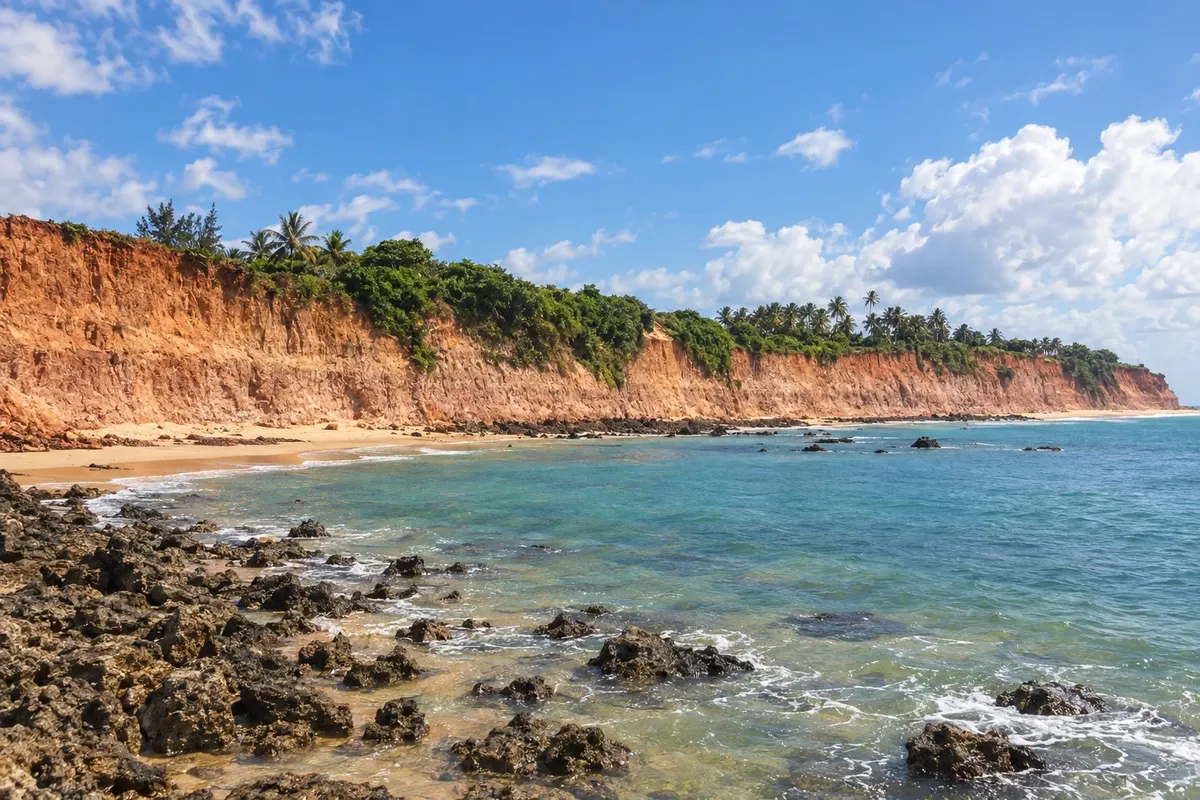
In the photo: Cliffs of Barra de Tabatinga, Nísia Floresta (RN).
Illustrative images. The pictures in this guide are illustrations based on the real place, not photographs, and may differ from it.

The route
What the Rota do Sol is
The Rota do Sol follows RN-063 along the southern coast of Rio Grande do Norte. This route starts in Natal, departing from the Ponta Negra area, crosses the coastline of Parnamirim and ends at the beaches of Nísia Floresta.
Cotovelo, Pirangi do Norte, Pirangi do Sul, Búzios, Barra de Tabatinga, Camurupim and Barreta are coastal localities in these municipalities. Accesses to the sand and to the lagoons need to be organized in addition to travel along the highway. The Cajueiro de Pirangi and the Centro Cultural Trampolim da Vitória add natural heritage and aviation history to the trip.
The adopted itinerary finishes in Nísia Floresta. It does not include the continuation to Malembá, Tibau do Sul or Pipa, which use other accesses and may involve specific circulation and crossing conditions.
The map
3 cities along the way
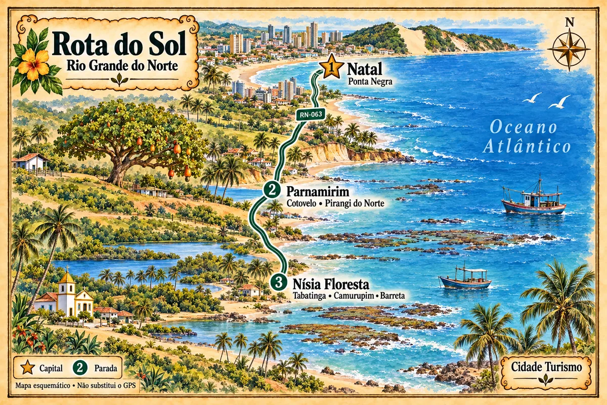
Mapa: @svg-maps/brazil, CC BY 4.0
The journey
City by city
Distances and times are approximate: check before you set off.
-
 1 · RN
Natal
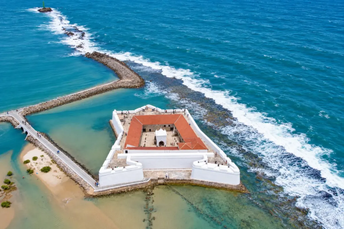
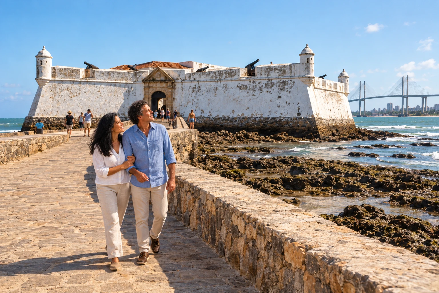
Natal, the capital of Rio Grande do Norte, brings together the Forte dos Reis Magos by the Potengi estuary and Praia de Ponta Negra, dominated by Morro do Careca. Ribeira preserves references to port life. The start of the route uses Ponta Negra as the urban departure point for the southern coast.
→ Parnamirim From the Ponta Negra area, follow RN-063 toward Parnamirim's coast. The paved connection goes by the Cotovelo accesses and reaches Pirangi do Norte; the Cajueiro de Pirangi is in the urban core next to the beach.
-
 2 · RN
Parnamirim
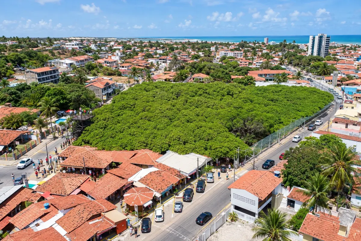
Parnamirim features the cliffs of Cotovelo and the Cajueiro de Pirangi on the coast. The Centro Cultural Trampolim da Vitória houses photographs and objects about aviation and World War II. The coastal passage concentrates on Cotovelo and Pirangi do Norte, with the museum requiring a separate trip.
→ Nísia Floresta After Pirangi do Norte, RN-063 crosses the Pirangi River and continues along Nísia Floresta's coast, passing Pirangi do Sul and Búzios to Barra de Tabatinga. The coastal sequence leads to Camurupim and Barreta; lagoons and beaches have local access points.
-
 3 · RN
Nísia Floresta
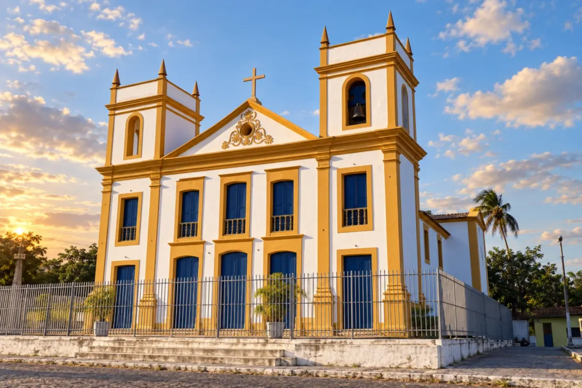
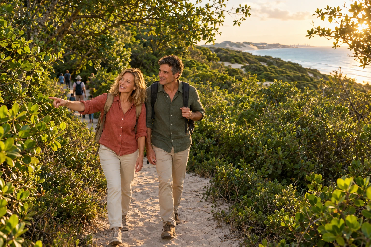
Nísia Floresta has Camurupim, with a reef barrier, and Barra de Tabatinga, with cliffs facing the sea. Lagoa de Arituba adds a fresh-water environment, while the Museu Nísia Floresta presents the writer's memory at its headquarters. Barreta is the last coastal locality of this leg.
Travelers' photos
Rota do Sol through the eyes of those who went
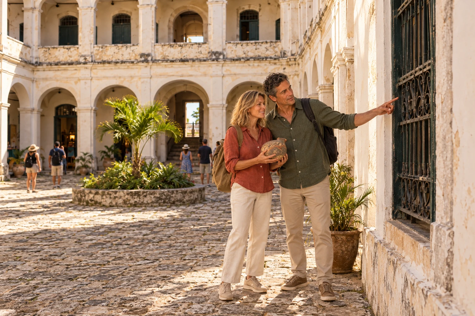
How many days
Allow three to four days to spread out visits to the beaches and lagoons. The visit to the aviation collection can take a separate part of the day devoted to Parnamirim's coastline.
Best time to go
Days with stable forecasts favor walks along the shore and observing the cliffs. Check the tide for activities on the reefs and the schedule of cultural venues before the trip.
How to travel it
Use RN-063 as the link between the three municipalities and arrange local accesses to the beaches. In Parnamirim, the cultural center requires a separate trip to the former airport. In Nísia Floresta, the headquarters and the museum are also outside the coastal sequence. Finish at the coastal localities of Nísia Floresta, with no mandatory return.
Who it's for
For those who want to travel by car or on an organized tour along the coast south of Natal, alternating coastal scenery, fresh water and cultural heritage.
Your questions
Frequently asked questions about the Rota do Sol
Do I need a car to explore the Rota do Sol?
A car or an organized tour makes it easier to link beaches, lagoons and cultural sites. Before choosing public transport, confirm the stop points and the possibility of returning to the place where you will be staying.
Should I check the tide for outings?
Yes. Activities on the reefs and boat departures depend on the tide and sea conditions. Check the schedule with the operator and observe the beach situation on the day, without assuming every spot will have the same bathing conditions.
Can I use a single accommodation during the trip?
Having a single base allows you to make excursions and return after each stage. Splitting nights between localities reduces returns along the highway and gives more time to explore beaches and lagoons near your accommodation.
Where is there a cultural visit besides the beaches?
In Parnamirim, the Centro Cultural Trampolim da Vitória presents the history of aviation at the former Aeroporto Augusto Severo. At Nísia Floresta's headquarters, the museum dedicated to the writer expands the program; check each venue's opening hours before you go.
Is it possible to add a fresh-water swim to the itinerary?
Lagoa de Arituba, in Nísia Floresta, is an option close to the Tabatinga and Camurupim area. Arrange local access and set aside time for the lagoon, without treating the stop as part of a continuous walk along the sand.