Nísia Floresta

Rio Grande do Norte · Brazil

Nísia Floresta

In the destination Rio Grande do Norte South Coast (Pipa and Rota do Sol).

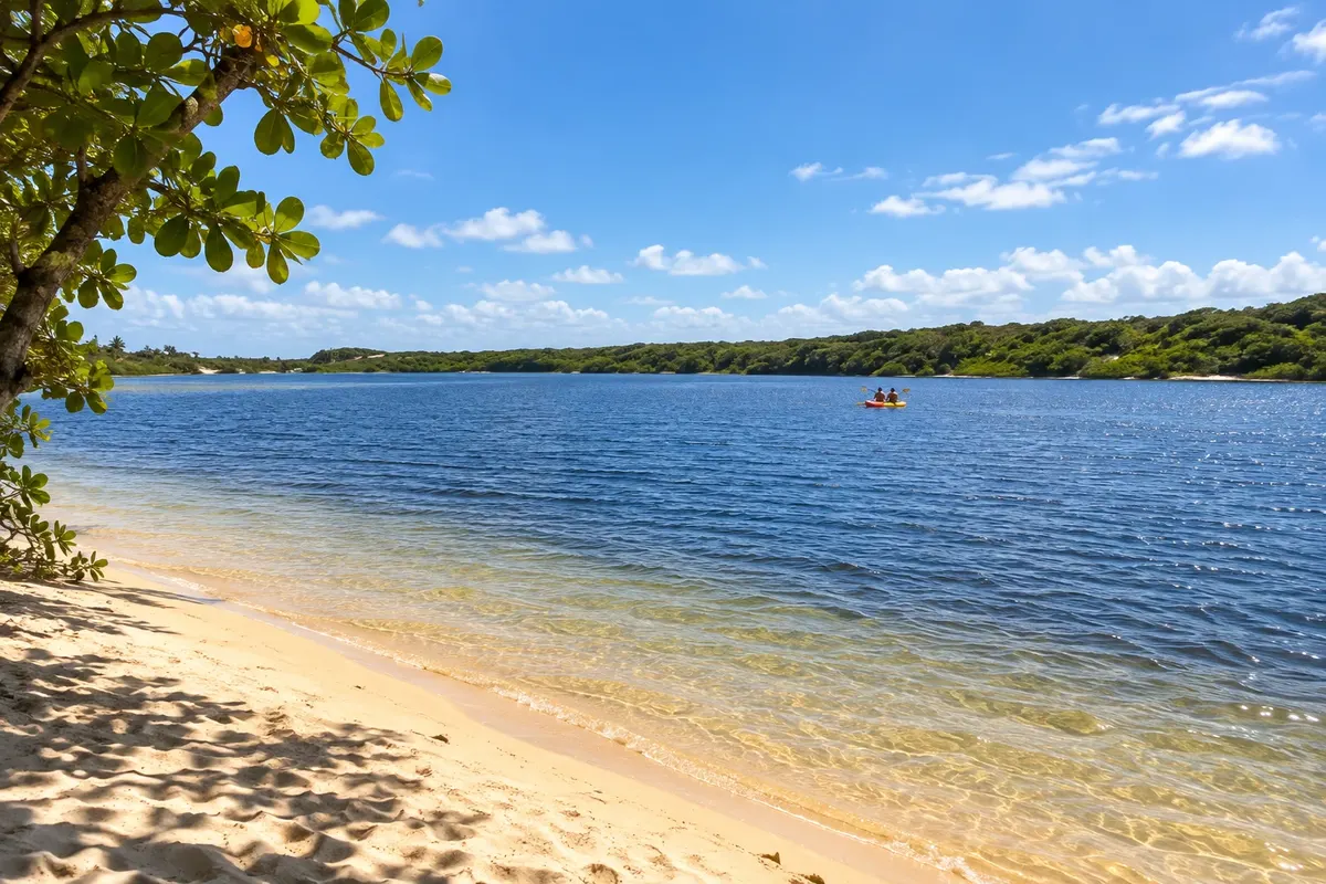
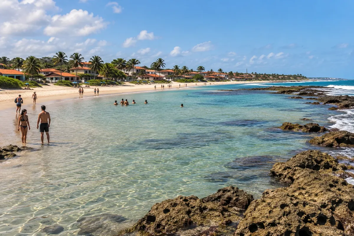
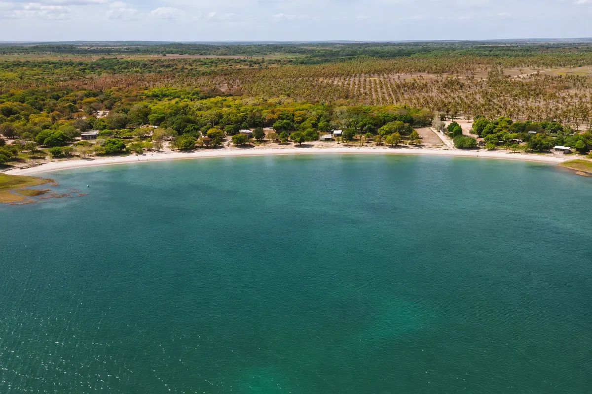
Illustrative images. The pictures in this guide are illustrations based on the real place, not photographs, and may differ from it.

Get it on Google Play Send your photos

The city

What to expect from Nísia Floresta.

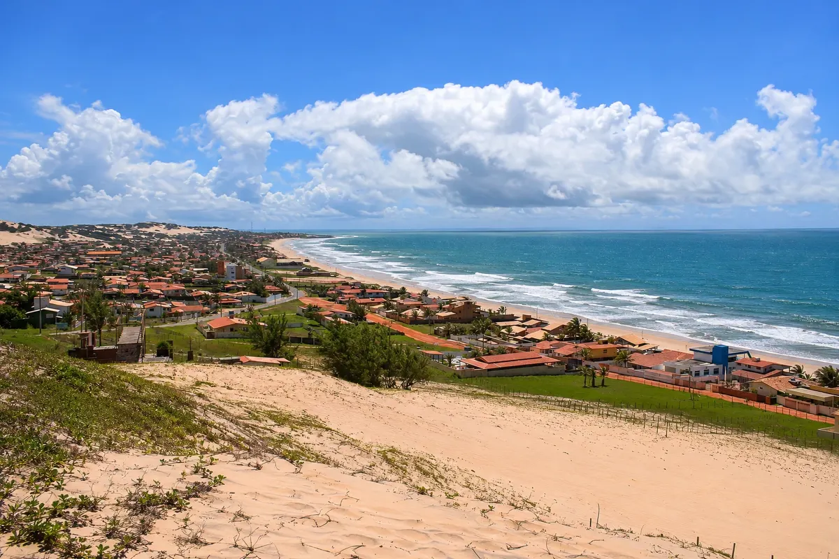
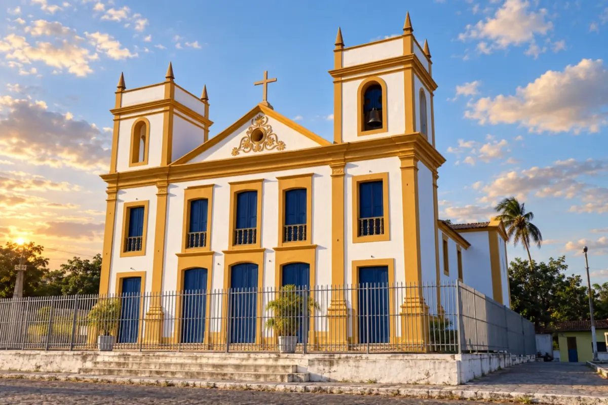
Nísia Floresta combines lagoons, beaches and references to the writer the town is named after. Downtown, the Igreja de Nossa Senhora do Ó (church) is part of the town's religious heritage and historic landscape.

Share: WhatsApp

Where to stay

45 places to stay in Nísia Floresta.

Where to eat

3 places to eat in Nísia Floresta.

Your trip

What to know before you go.

Nísia Floresta highlights and titles

Natural pools

The local experience

What to see in Nísia Floresta

lagoon

Lagoa do Bonfim

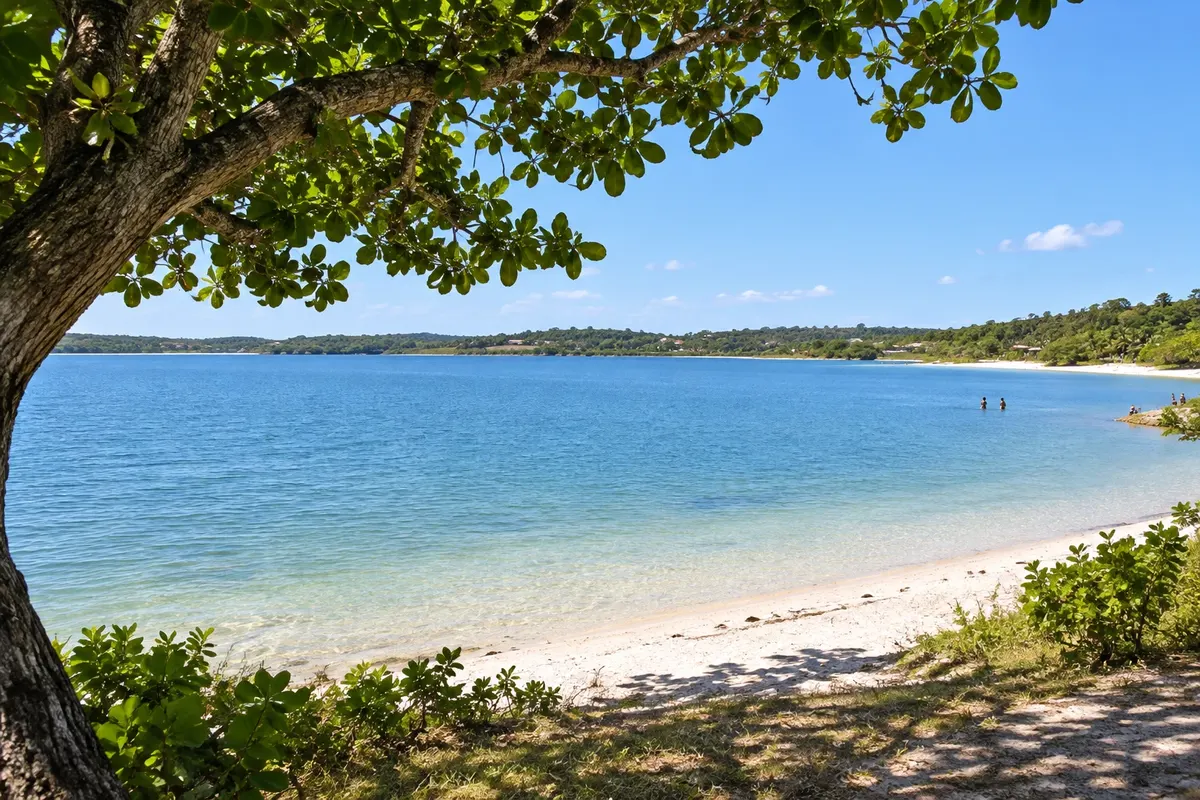
Also called Lagoa Sete Pontas, it has about 9 km² of clear water and lies in an Environmental Protection Area. Besides water recreation, it supplies the Agreste Trairi Potengi water pipeline system.

Discover Lagoa do Bonfim

lagoon

Lagoa de Arituba

A lagoon of clear water with soft sand on its shores, near Tabatinga beach. It is popular for swimming and activities such as stand-up paddleboarding and pedal boats.

Discover Lagoa de Arituba

See 2 more places in Nísia Floresta
lagoon

Carcará Lagoon

Fresh, clear lagoon among dunes and coconut trees in the interior of Nísia Floresta, on the southern coast of Rio Grande do Norte. There are stalls on the water’s edge, hammocks, kayaks and boards, and it’s often included in buggy tours of the region’s lagoons.

Discover Carcará Lagoon

beach

Búzios Beach

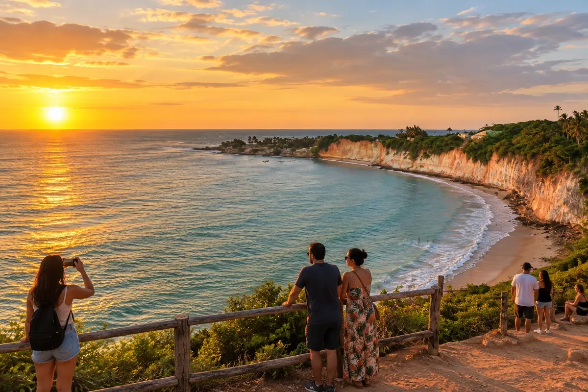
A summer beach on the southern coast of Nísia Floresta, on the Rota do Sol, between Pirangi do Sul and Tabatinga. It has a long stretch of sand, seafood stalls, and sections with reefs near the shore, plus a viewpoint overlooking the sea.

Discover Búzios Beach

Before you go

Your trip to Nísia Floresta

Nísia Floresta – RN Destination Rio Grande do Norte South Coast (Pipa and Rota do Sol) about 42 km from Natal

How to get there

  • Aeroporto Internacional de Natal (NAT) São Gonçalo do Amarante · 51 km
  • Terminal Rodoviário de Natal Natal

Approximate distances. Check flights and bus, train or boat schedules before you travel.

Traveler, share your experiences through photos Up to 5 photos of each place you visited.

Brazilian routes

Nísia Floresta is part of the Route of the Sun

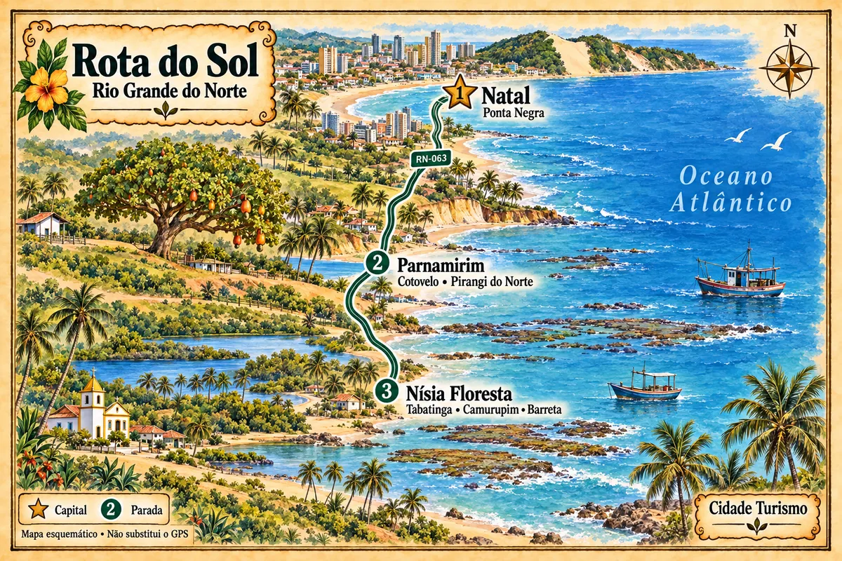
From Natal to Nísia Floresta, RN-063 links beaches, cliffs and lagoons on the southern coast of Rio Grande do Norte, with a stop at the Cajueiro de Pirangi in Parnamirim.

Illustrative map, not to scale. Tap a city to open its page.
Illustrated map of Route of the Sun
Explore the Route of the Sun
See the destination Rio Grande do Norte South Coast (Pipa and Rota do Sol) Find another city

Beyond the guide