

 Antarctica
 Argentina
 Bolivia
 Chile
 Colombia
 Ecuador
 Guyana
 French Guiana
 Falkland Islands (Malvinas)
 Paraguay
 Peru
 Suriname
 Uruguay
 Venezuela
 Germany
 Austria
 Belgium
 Croatia
 Denmark
 Slovakia
 Slovenia
 Spain
 Finland
 France
 Greece
 the Netherlands
 Hungary
 Ireland
 Iceland
 Italy
 Luxembourg
 Norway
 Poland
 Portugal
 the United Kingdom
 the Czech Republic
 Sweden
 Switzerland
 Turkey
 Bermuda
 Canada
 the United States
 Greenland
 Mexico
 Saint Pierre and Miquelon
 the Dominican Republic
 Japan
 South Africa
 Egypt
 Australia
 Fiji
 New Zealand
 Papua New Guinea
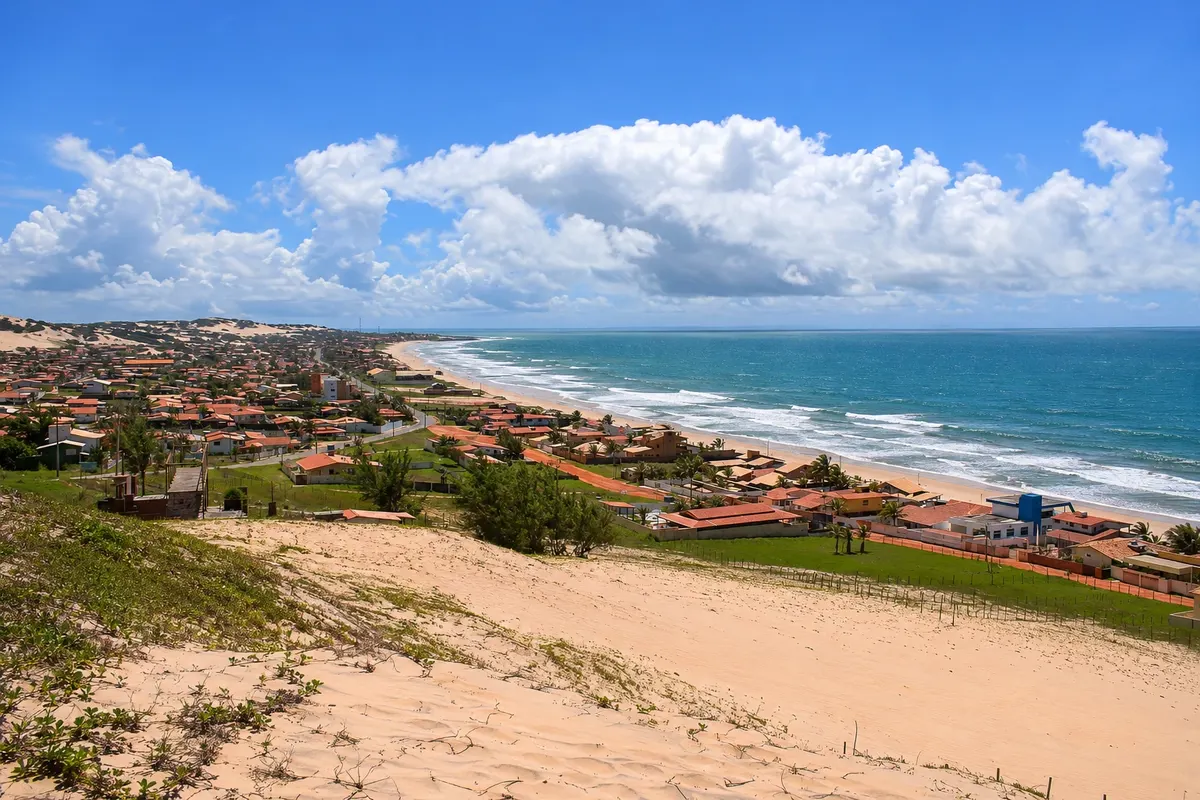
beach · Nísia Floresta, RN
Búzios Beach
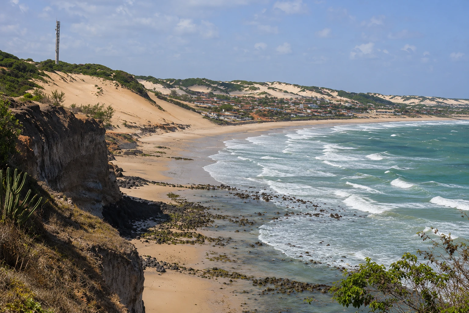
A summer beach on the southern coast of Nísia Floresta, on the Rota do Sol, between Pirangi do Sul and Tabatinga. It has a long stretch of sand, seafood stalls, and sections with reefs near the shore, plus a viewpoint overlooking the sea.
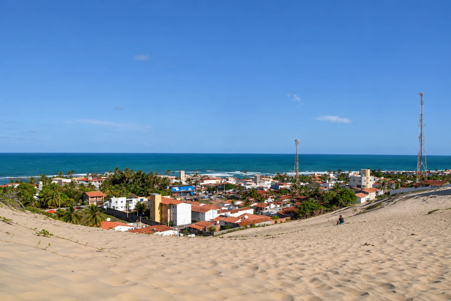
In the photo: Búzios Beach seen from the dunes, showing the sand strip and the sea.
Illustrative images. The pictures in this guide are illustrations based on the real place, not photographs, and may differ from it.


A look at the place
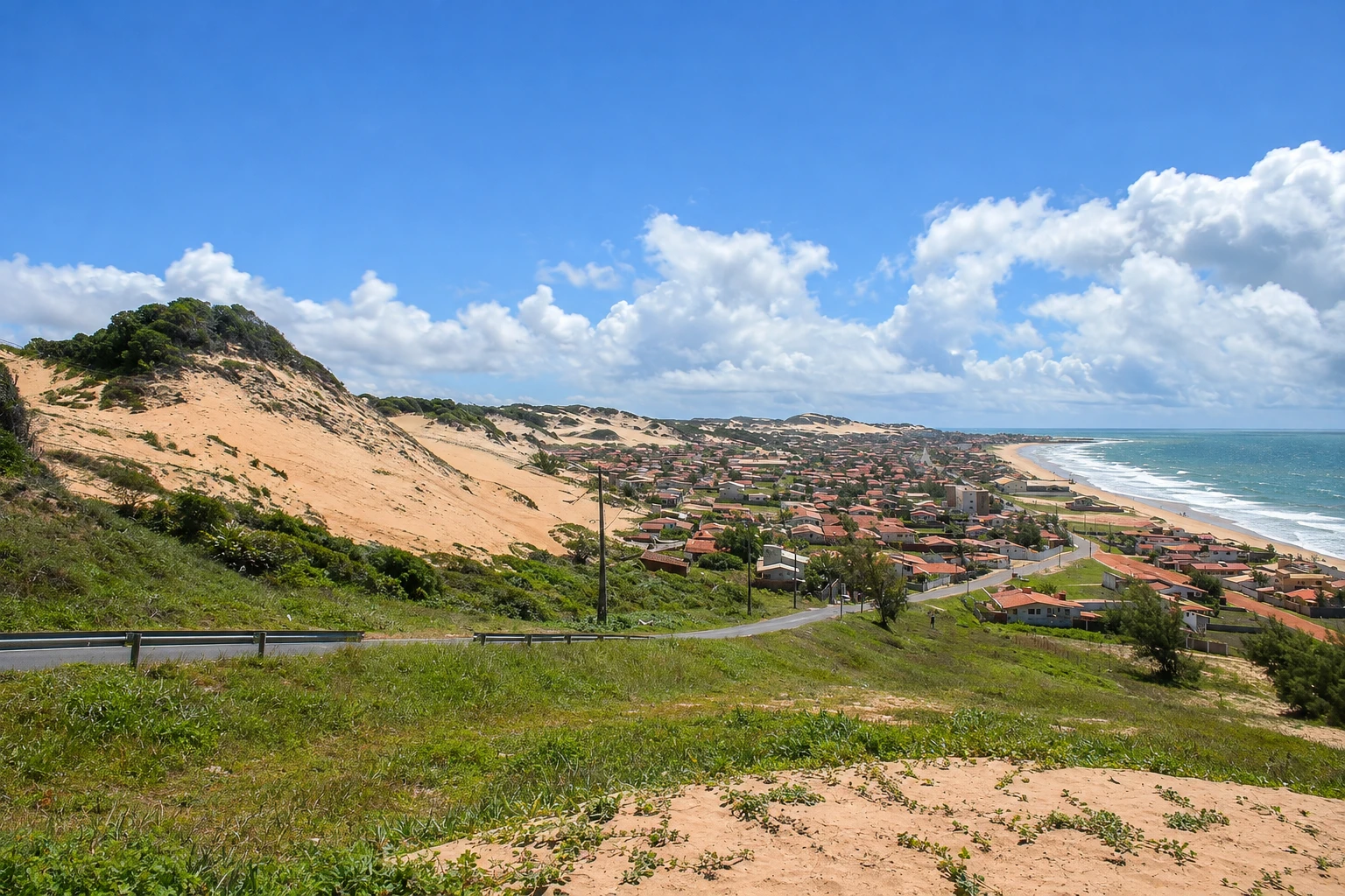
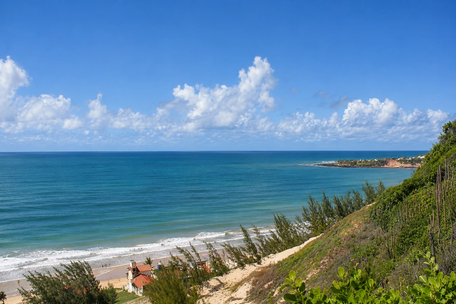
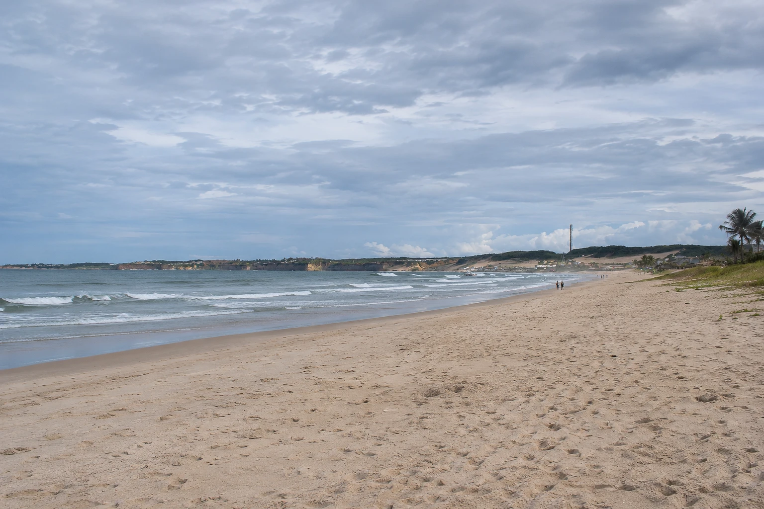
Búzios Beach in pictures
These pictures are illustrations based on the real place, not photographs. They may differ from the place.
Click the picture to enlarge it.

Discover
About Búzios Beach
Búzios Beach is on the coast of Nísia Floresta, south of Natal, on the stretch of the Rota do Sol between Pirangi do Sul and Barra de Tabatinga. It’s a summer beach with vacation homes and a long, open stretch of sand from which the sea can be seen to the horizon.
The sea changes according to the section and the tide. In some parts, reefs near the sand hold back the waves and form calmer pools at low tide; in others, the sea is open and has more waves.
Along the shore are simple stalls and restaurants with tables on the sand, known for shrimp and fish dishes. On weekends and in summer the beach receives many residents from Natal and Parnamirim, who come via RN-063 for the day.
The visit is a beach day: walk on the sand, swim where the sea is calm, and have lunch at a stall. Outside of summer and holidays, the beach is usually quieter, with more activity only on weekends. On the high side, by the road, a viewpoint shows the curve of the beach and the coast toward Tabatinga.
To the north are Pirangi do Sul and the beaches of Parnamirim, with the Cajueiro de Pirangi; to the south, Barra de Tabatinga, with the Mirante dos Golfinhos, and Camurupim Beach, with its natural pools. Inland in the municipality are the lagoons of Bonfim, Arituba and Carcará.
Before you go
Practical information
Cidade Turismo reviews its information regularly, but something may have changed. Check with the place before planning your trip.
How much time to set aside
Half a day or a full day at the beach, with lunch at one of the stalls.
Best time
All year. Low tide is the best time to swim in the sections protected by reefs; check the tide table. The driest months, September to February, usually have more sun.
How to get there
From downtown Nísia Floresta, go to the coast and follow RN-063 (Rota do Sol) northbound to Búzios. From Natal it’s about 30 km on RN-063, passing Ponta Negra, Cotovelo and Pirangi.
Tip
Check the tide table and arrive at low tide to enjoy the calm water near the reefs. Wear shoes on the rocks and combine the beach visit with the Mirante dos Golfinhos in Barra de Tabatinga.
Get your questions answered
Frequently asked questions about Búzios Beach
Where is Búzios Beach in Rio Grande do Norte?
On the coast of Nísia Floresta, about 30 km south of Natal via the Rota do Sol (RN-063), between Pirangi do Sul and Barra de Tabatinga. It is not the Búzios in the state of Rio de Janeiro.
Is the sea at Búzios Beach calm?
It depends on the section and the tide. Where there are reefs near the sand, the water is usually calmer at low tide; in open sections the sea has more waves.
Does Búzios Beach have facilities?
There are simple stalls and restaurants with tables on the sand, known for shrimp and fish dishes, and a viewpoint by the road.
How to get from Natal to Búzios Beach?
It’s about 30 km via RN-063, the Rota do Sol, passing Ponta Negra, Cotovelo and Pirangi.
What to do near Búzios Beach?
See the Mirante dos Golfinhos in Barra de Tabatinga, go to Camurupim Beach, visit the Cajueiro de Pirangi and explore the lagoons of Bonfim, Arituba and Carcará.
Beyond the guide


