
Route · MG
Estrada Real 6 Caminho dos Diamantes
From Diamantina to Ouro Preto, the route follows landscapes of the Espinhaaco, historic districts and the memory of mining.
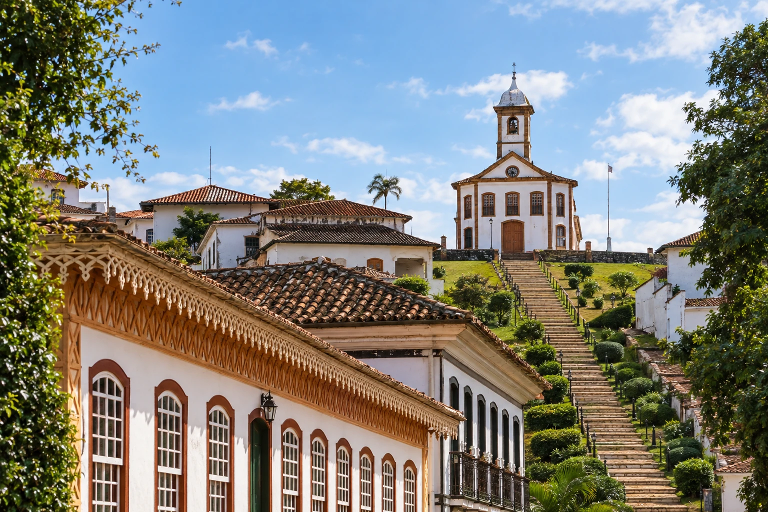
In the photo: Capela de Santa Rita, Serro, MG
Illustrative images. The pictures in this guide are illustrations based on the real place, not photographs, and may differ from it.

The route
What the Estrada Real 6 Caminho dos Diamantes is
The Caminho dos Diamantes links Diamantina to Ouro Preto through the interior of Minas Gerais. Its history is connected to diamond mining, and the journey combines colonial settlements with landscapes of the Serra do Espinhaaco. The Instituto Estrada Real reports 395 km for the official route.
The departure from Diamantina goes through São Gonçalo do Rio das Pedras and Milho Verde, in the municipality of Serro. Alvorada de Minas and Conceição do Mato Dentro come before the mountain stretches leading to Morro do Pilar and Itambé do Mato Dentro. Churches, colonial houses and small settlements help break up the stages.
In the municipality of Itabira, the route passes through Senhora do Carmo and Ipoema, without a mandatory passage through the municipal seat. After Bom Jesus do Amparo and Cocais, continue to Santa Bárbara and Catas Altas. The Sabarabuçu fork is an alternative route with a different destination.
The historic connection from Santa Rita Durão to Mariana remains closed according to the Institute's guidance. There is an alternative via Camargos for cyclists, walkers and horseback riders, and via the MG-129 for cars. Check the current detour before travelling; arrival in Ouro Preto takes place after Mariana.
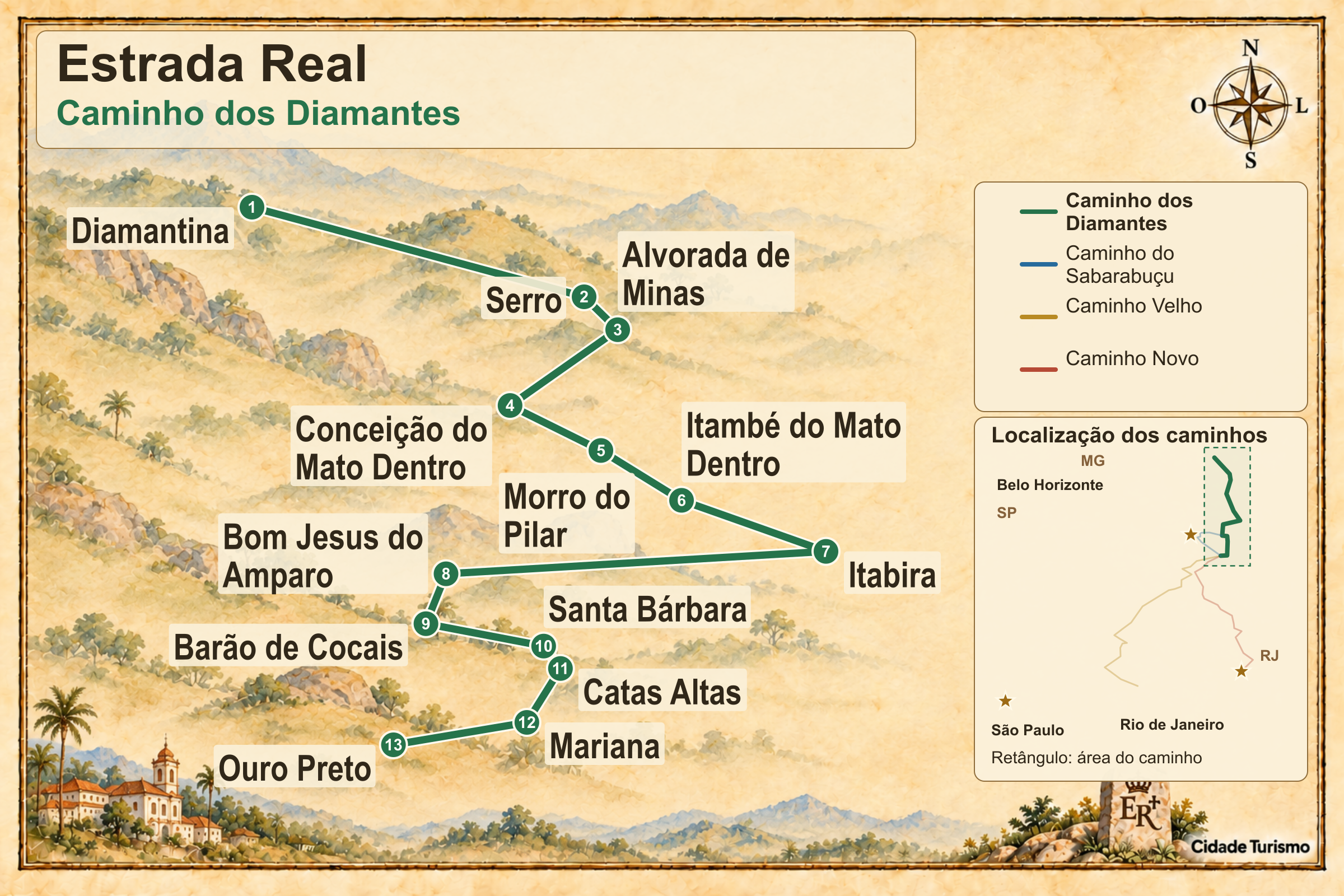
The map
13 cities along the way
The journey
City by city
Distances and times are approximate: check before you set off.
-
 1 · MG
Diamantina
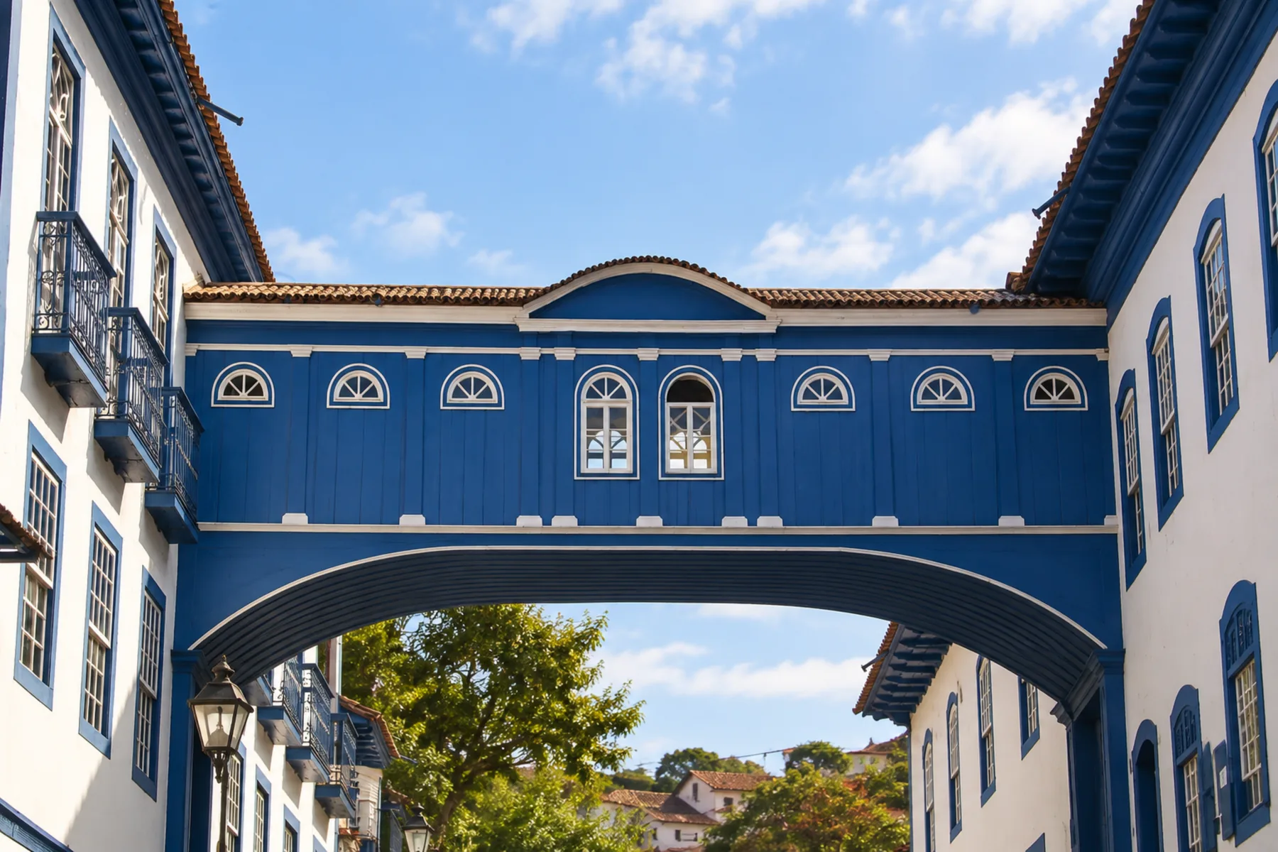
Diamantina starts the Caminho dos Diamantes heading to Ouro Preto. The Mercado Velho and the Casa da Chica da Silva help introduce the town's history before the mountain stages.
→ Serro The stretch from Diamantina to Serro goes through São Gonçalo do Rio das Pedras and Milho Verde, in the Serra do Espinhaaco environment. The first stage follows the high part of the range; from São Gonçalo to Serro there are paved sections and descents that require caution from cyclists.
-
 2 · MG
Serro
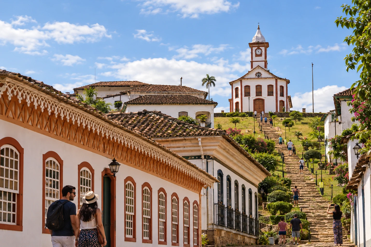
Serro brings together the Capela de Santa Rita, colonial houses and the cheese-making tradition. São Gonçalo do Rio das Pedras and Milho Verde are localities on the route within the municipality.
→ Alvorada de Minas Serro and Alvorada de Minas are linked by a paved stage, with climbs and descents of lower intensity and open-field scenery. Vehicle traffic should be considered by those travelling on foot or by bicycle.
-
 3 · MG
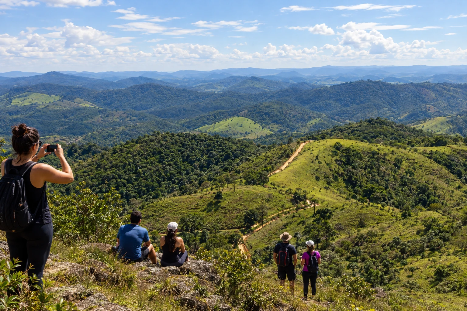
Alvorada de Minas
Alvorada de Minas links Serro to Conceição do Mato Dentro. The passage includes Itapanhoacanga, a municipal district, before the mountain climbs and descents.
→ Conceição do Mato Dentro From Alvorada de Minas to Conceição do Mato Dentro, the route passes through Itapanhoacanga, Santo Antônio do Norte (also called Tapera), and Córregos. There are mountain climbs and descents, followed by an approach along the MG-10, where attention to traffic needs to increase.
-
 4 · MG
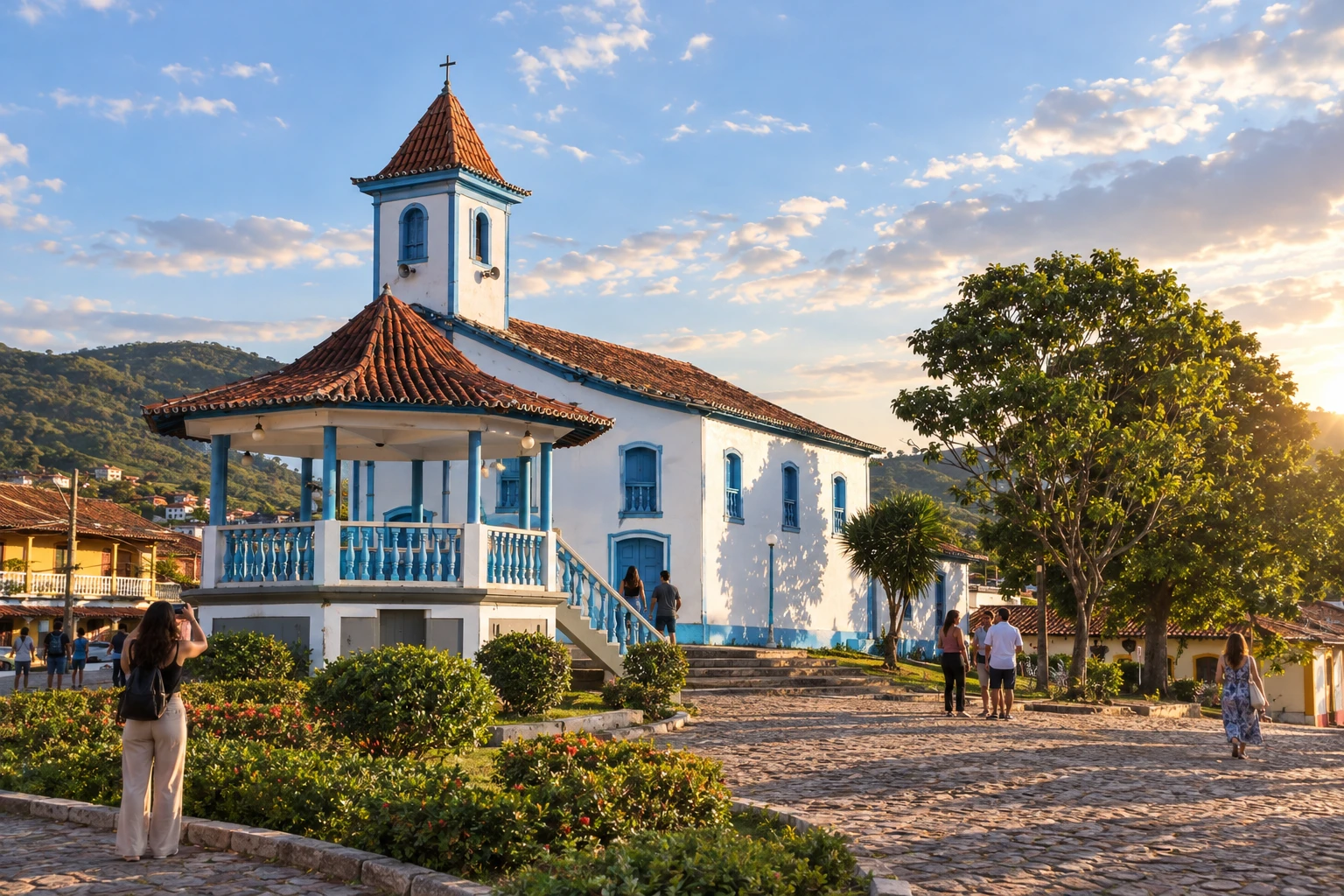
Conceição do Mato Dentro
Conceição do Mato Dentro receives the stage that passes through Santo Antônio do Norte (Tapera) and Córregos. The next connection continues to Morro do Pilar.
→ Morro do Pilar The link from Conceição do Mato Dentro to Morro do Pilar features steep descents and wooded sections. The Serra do Espinhaaco and other mountain alignments appear in the panorama; plan your effort and return according to the chosen modality.
-
 5 · MG
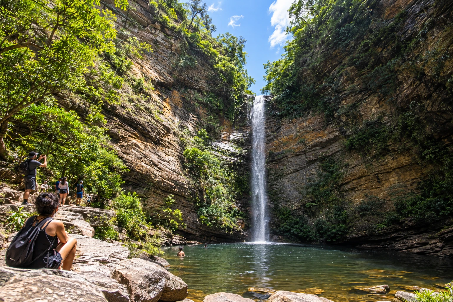
Morro do Pilar
Morro do Pilar precedes the crossing to Itambé do Mato Dentro. The route follows the Rio do Peixe and then climbs long ascents, in the landscape of the Serra do Cipó.
→ Itambé do Mato Dentro Between Morro do Pilar and Itambé do Mato Dentro, the route begins following the Rio do Peixe and then gains long climbs. The view from Travessão in the Serra do Cipó region and the passage through Duas Pedras are reference points before the flatter terrain at the arrival.
-
 6 · MG
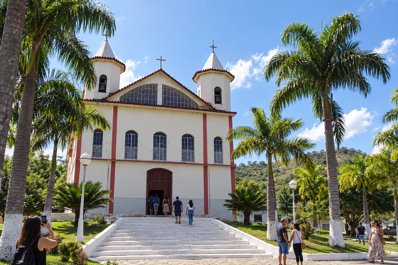
Itambé do Mato Dentro
Itambé do Mato Dentro is the stop before the districts of Senhora do Carmo and Ipoema. Further on, the Serra dos Linhares and Serra dos Alves form the landscape references.
→ Itabira Leaving Itambé do Mato Dentro, the stage reaches Senhora do Carmo and Ipoema, districts of Itabira, in a landscape marked by the Serra dos Linhares and Serra dos Alves. The beginning includes paved road and the remainder requires confirmation of conditions; visiting Itabira's municipal seat requires an additional detour.
-
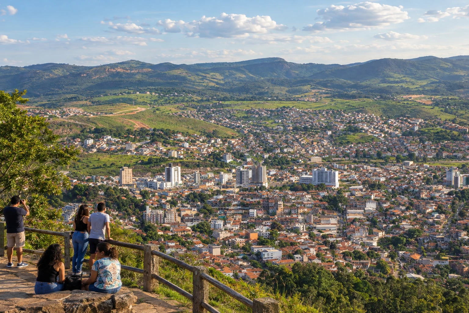 7 · MG
Itabira
Itabira is included in the route via Senhora do Carmo and Ipoema. The urban seat is not automatically on the historic line; add travel time if you want to visit it.
→ Bom Jesus do Amparo In the municipality of Itabira, the historic route to Bom Jesus do Amparo starts from Ipoema, not from Itabira's urban center. The road is paved, with gentle climbs and descents, little shade, and visual references to the Serra do Caraça.
-
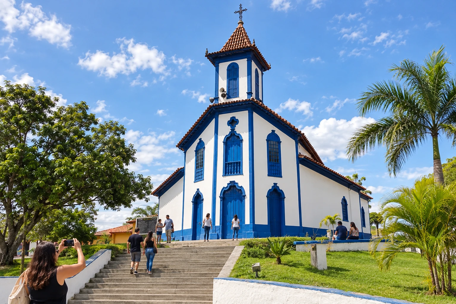 8 · MG
Bom Jesus do Amparo
Bom Jesus do Amparo lies between Ipoema and Cocais. The route continues to Barão de Cocais via accesses that combine paved and unpaved roads, near the BR-381.
→ Barão de Cocais From Bom Jesus do Amparo, the route continues to Cocais and then to the municipal seat of Barão de Cocais. The departure combines paved and dirt roads, crosses the BR-381 and passes through coffee and eucalyptus plantations; roads opened or closed within the plantings can change navigation.
-
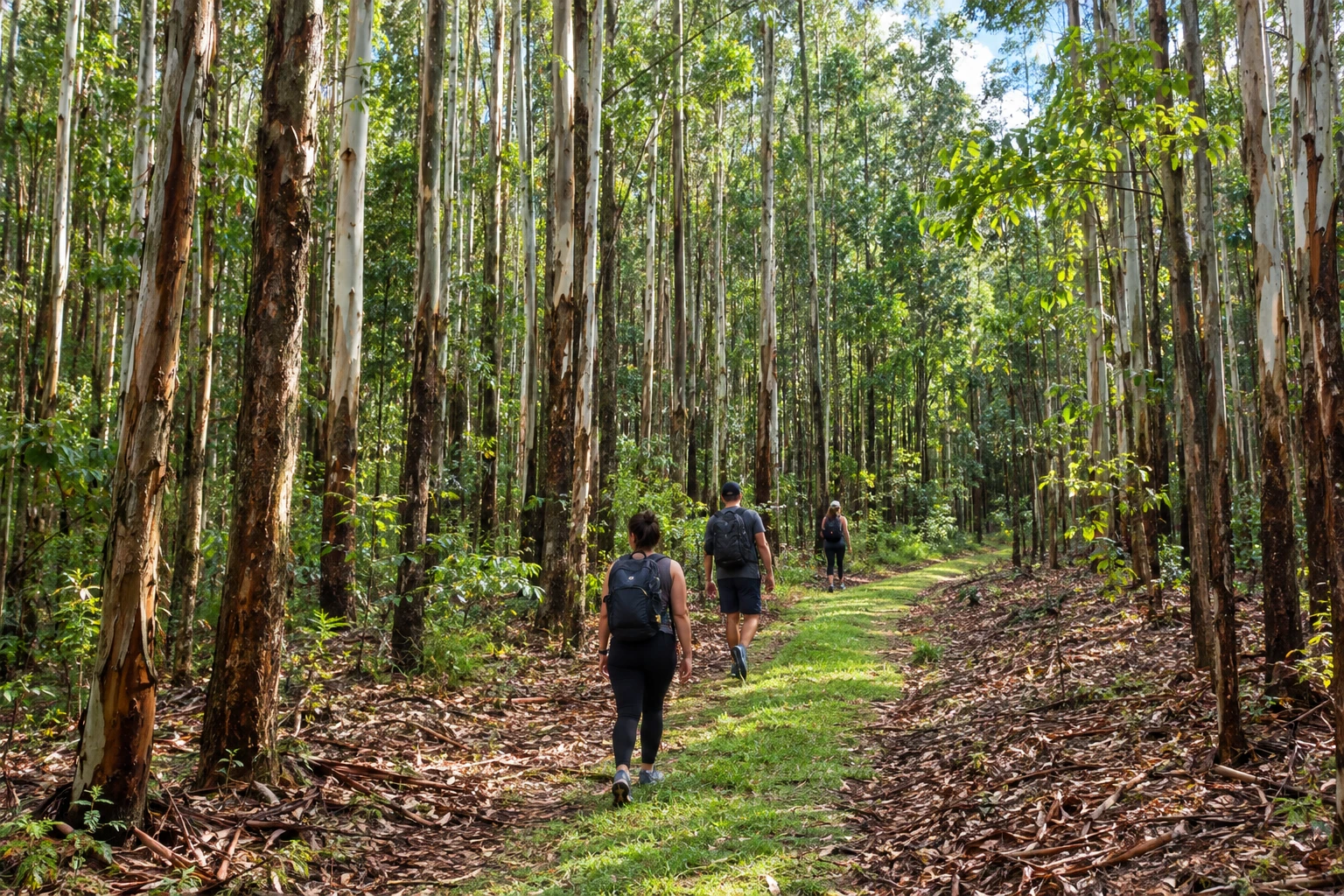 9 · MG
Barão de Cocais
Barão de Cocais includes Cocais and the connection to Sabarabuçu. On this Caminho dos Diamantes, continue to Santa Bárbara without taking the fork onto the other route.
→ Santa Bárbara The link between Barão de Cocais and Santa Bárbara goes through forested areas, with shaded stretches. Arrival in Santa Bárbara brings the route closer to the stream and the historic core; confirm the stage's accessibility before setting out to the rural accesses.
-
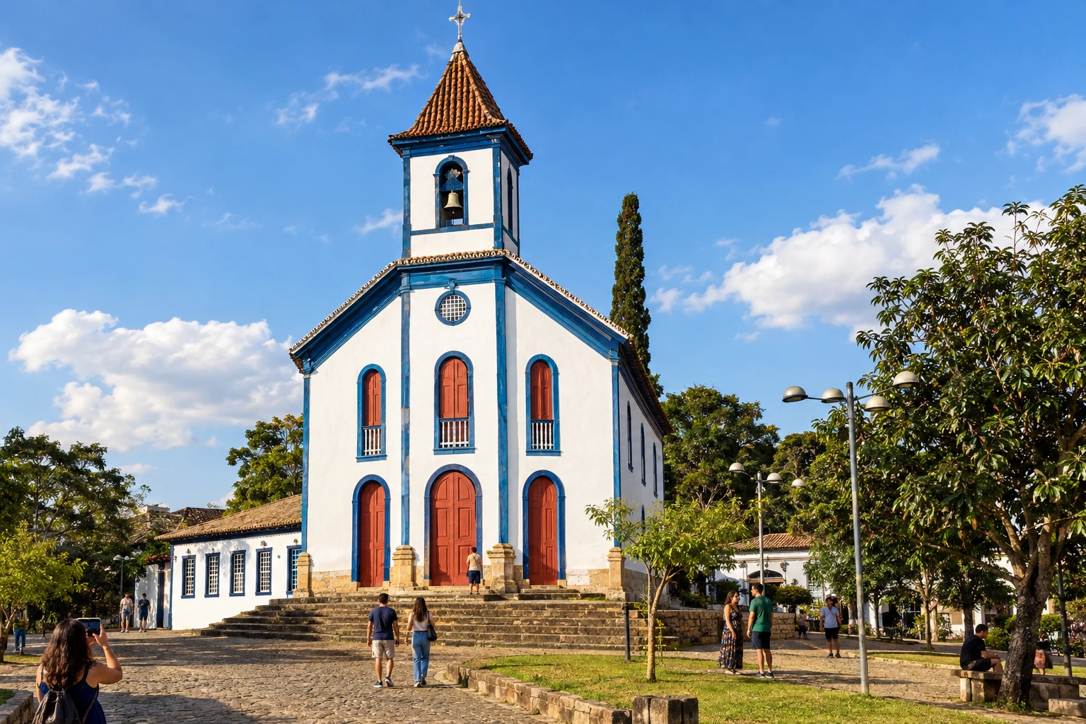 10 · MG
Santa Bárbara
Santa Bárbara precedes Catas Altas in the Serra do Caraça region. The historic continuation has a trail and references close to the railway, with an alternative for vehicles.
→ Catas Altas Between Santa Bárbara and Catas Altas, the landscape is marked by the Serra do Caraça and the Bicame de Pedra. The historic line includes a trail section and passages close to the railway; vehicles need the road alternative, and the route should not improvise travel on the tracks.
-
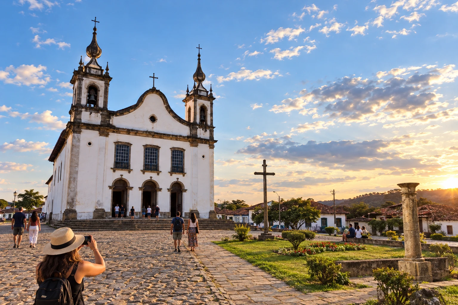 11 · MG
Catas Altas
Catas Altas approaches Mariana via the Santa Rita Durão area. The Instituto Estrada Real maintains the closure of that historic connection and indicates detours according to the modality.
→ Mariana After Catas Altas, the route passes through Santa Rita Durão. The IER maintains the closure up to Mariana: cyclists, walkers and horseback riders should use the Camargos alternative; cars follow the MG-129. Check the current guidance before departure.
-
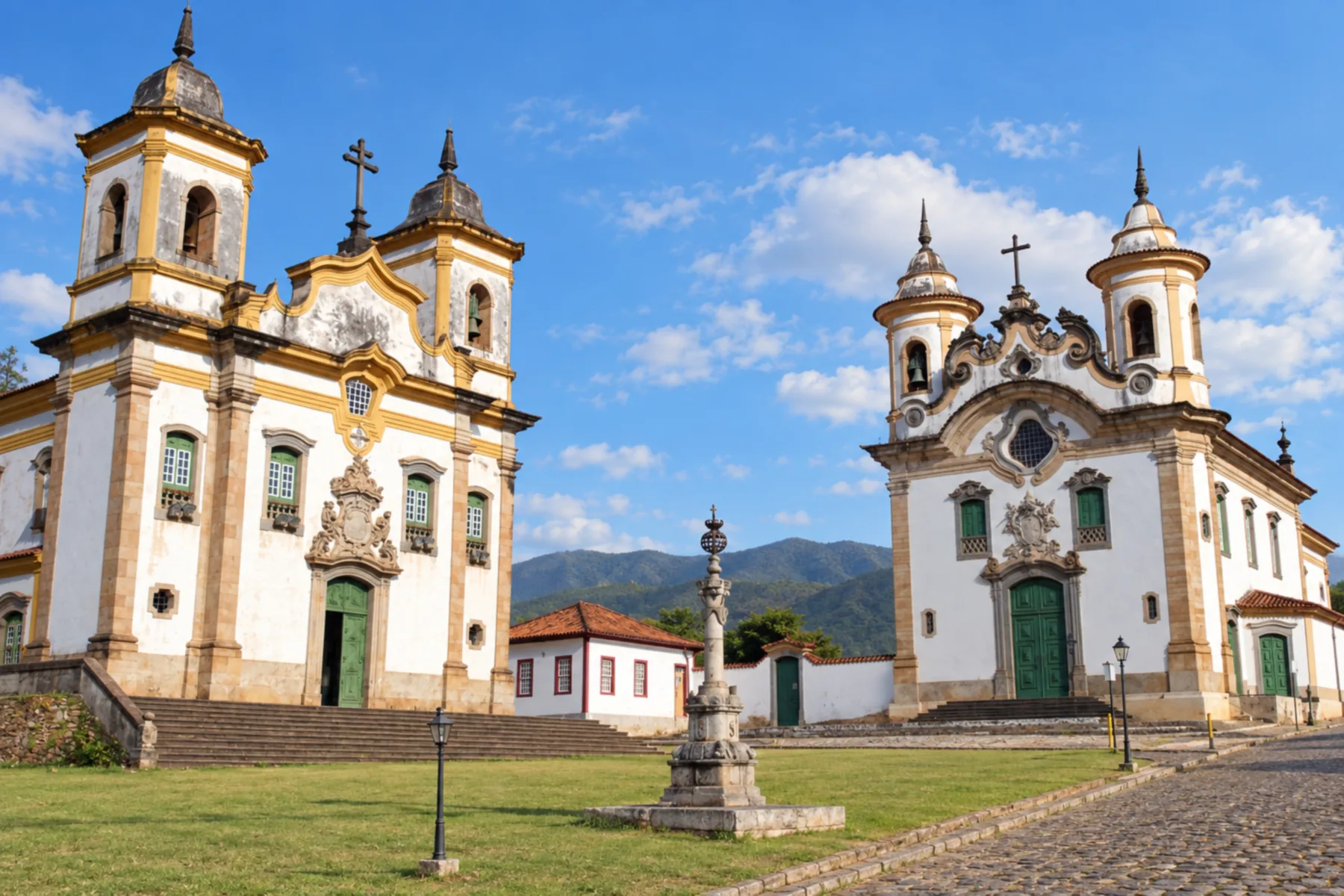 12 · MG
Mariana
Mariana brings together Santa Rita Durão and Camargos on this stretch. For cars, the indicated detour follows the MG-129; cyclists, walkers and riders use the alternative via Camargos.
→ Ouro Preto From Mariana to Ouro Preto, the stage follows a paved road and passes through the Mina da Passagem region. The official route notes an absence of waymarkers in this segment; prepare navigation before departure and consider traffic when choosing to walk or cycle.
-
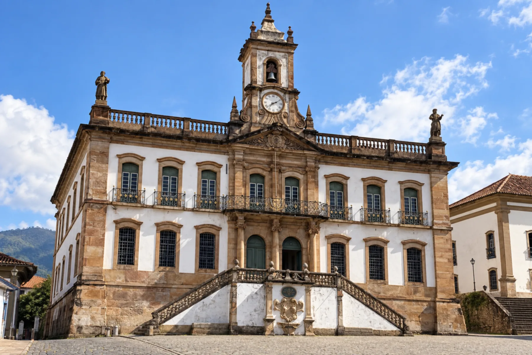 13 · MG
Ouro Preto
Ouro Preto concludes the route coming from Diamantina. The arrival from Mariana is paved and passes through the Mina da Passagem area; check navigation, as this stage does not have clear landmarks.
How many days
The Instituto Estrada Real gives eight days as a reference for crossing by bicycle and 27 days on foot, with variation depending on pace. To visit towns by car, choose bases and add days for sightseeing; these crossing times do not replace staying at the attractions.
Best time to go
Follow the Espinhaaco weather forecast and avoid starting long unpaved stages without confirming the surface. There are stretches with little shade, especially in the first part of the route; carry water and schedule breaks according to effort and temperature.
How to travel it
Move from Diamantina to Ouro Preto using the route sheets for your chosen path. Distinguish Ipoema from the municipal seat of Itabira and select the Mariana detour for your modality. Where there is a trail or a crossing near the railway, use the indicated access and do not improvise shortcuts across the tracks.
Who it's for
For those looking for Espinhaaco landscapes, the heritage of mining towns and trips through districts, with an interest in walking or cycling in stages.
Length
About 395 km
Your questions
Frequently asked questions about the Estrada Real 6 Caminho dos Diamantes
What are the endpoints of the Caminho dos Diamantes?
Diamantina and Ouro Preto, both in Minas Gerais. The route on this page follows that direction, via Serro, districts of the Espinhaço and Mariana.
Does the route go through downtown Itabira?
The tabulated sequence crosses the districts of Senhora do Carmo and Ipoema. Visiting Itabira's municipal seat adds its own detour.
Is the connection from Santa Rita Durão to Mariana open?
The Instituto Estrada Real still reports it as closed. It indicates the Camargos alternative for bicycle, walking and horseback riding, and the MG-129 for cars.
Can I take the Cocais fork?
To stay on the Caminho dos Diamantes, head to Barão de Cocais and Santa Bárbara. The connection from Cocais to Caeté belongs to the Sabarabuçu.
Do the stops reproduce the 18 IER spreadsheets?
The spreadsheets detail stages between localities, while this page brings together 13 municipalities. Districts within the same municipality appear as a single stop.