
Route · AM
Manaus–Presidente Figueiredo
From the Teatro Amazonas to the waterfalls and caves of Presidente Figueiredo, via the BR-174.
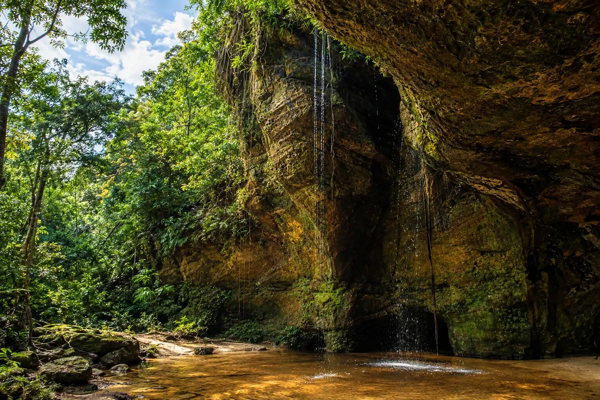
In the photo: Entrance to the Caverna do Maroaga, in Presidente Figueiredo.
Illustrative images. The pictures in this guide are illustrations based on the real place, not photographs, and may differ from it.

The route
What the Manaus–Presidente Figueiredo is
Manaus brings together the Teatro Amazonas, the Mercado Municipal Adolpho Lisboa and the activity of the port on the Rio Negro. North of the capital, the BR-174 leads to Presidente Figueiredo, where the forest shelters waterfalls and sandstone cliffs. The route links the city's urban heritage to the trails and rural access points of the Terra das Cachoeiras. Visits outside the town have their own rules; arrange entry and accompaniment before going.
The map
2 cities along the way
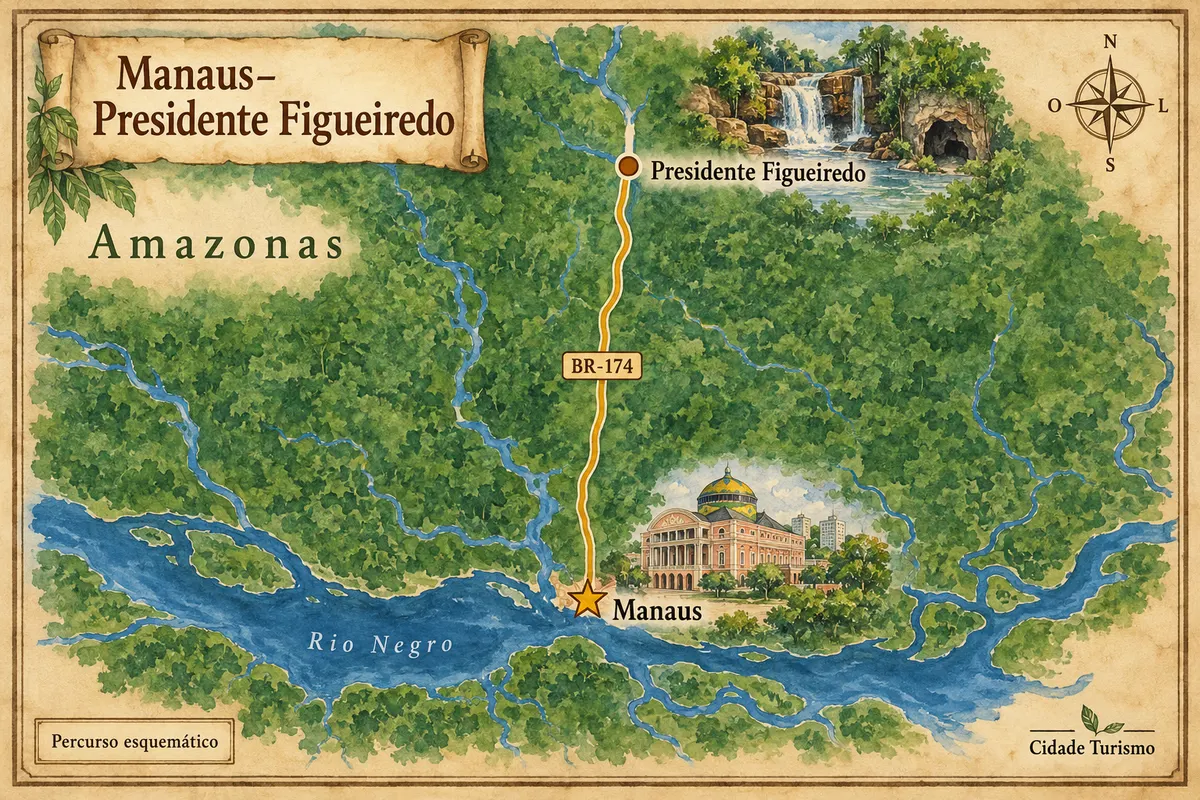
Mapa: @svg-maps/brazil, CC BY 4.0
The journey
City by city
Distances and times are approximate: check before you set off.
-
 1 · AM
Manaus
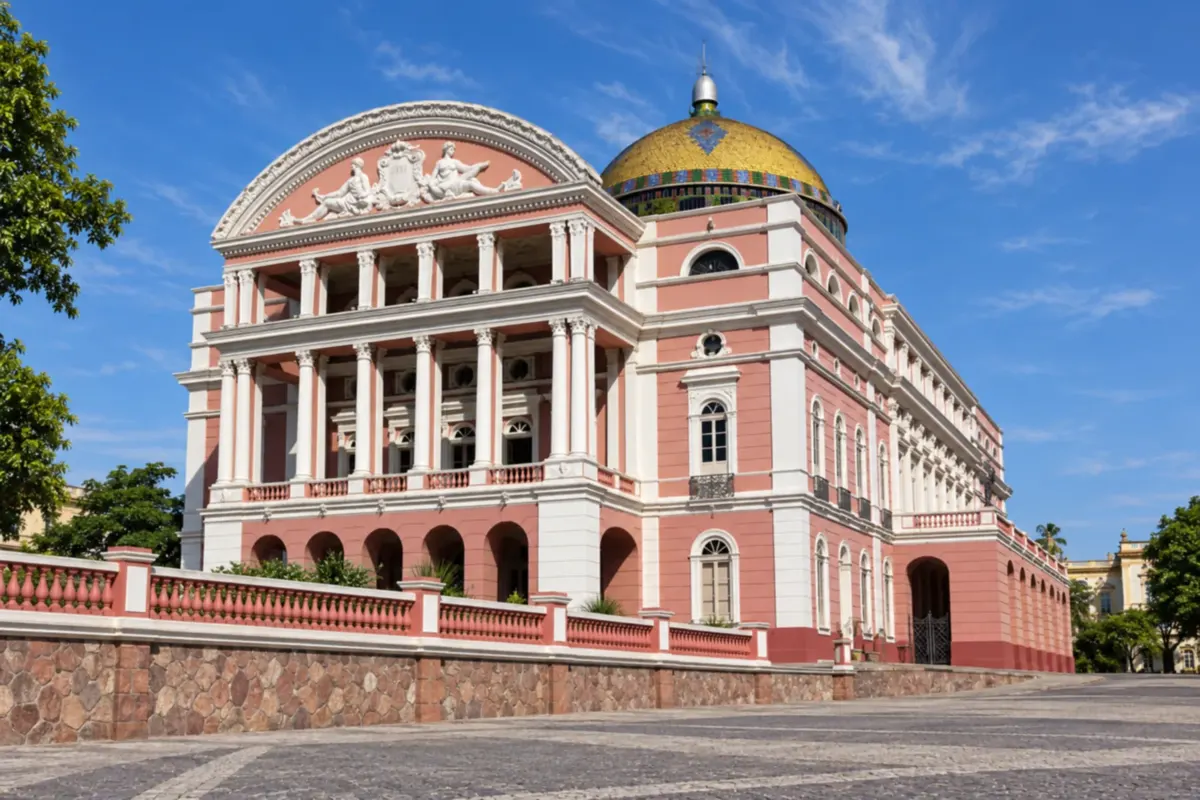
The Teatro Amazonas and the Mercado Municipal Adolpho Lisboa preserve part of the city's history from the rubber boom. The capital has museums, a port and urban life along the Rio Negro; allow time for your guide before heading out on the road.
→ Presidente Figueiredo Along the BR-174, leaving Manaus' urban area heading north, through forested areas. In Presidente Figueiredo, rural access roads and the AM-240 lead to attractions outside the town.
-
 2 · AM
Presidente Figueiredo
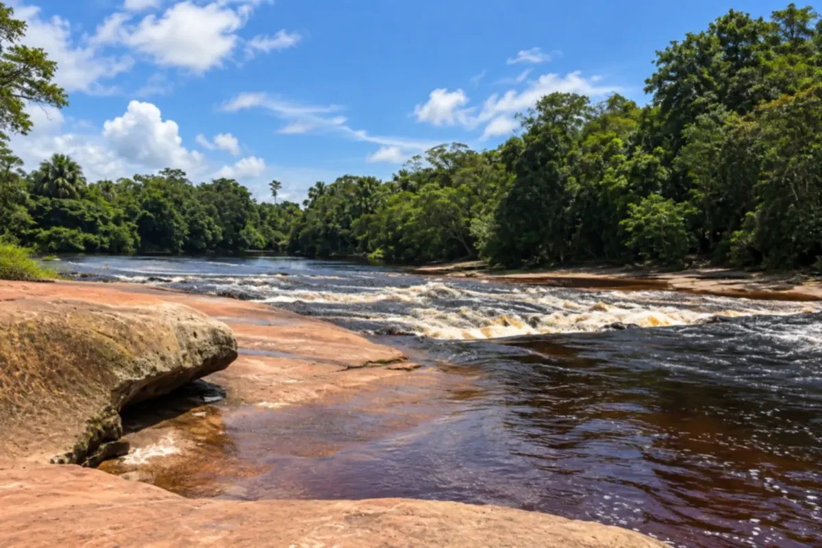
Waterfalls and sandstone formations characterize the landscape of Presidente Figueiredo. Maroaga and Gruta da Judéia are included in guided visits, and other access points are spread along the BR-174 and the Estrada de Balbina. Choose the tours offered by a local guide and confirm entry with the person responsible for the site.
How many days
Two to four days for the axis: allow time for Manaus and one or two days in Presidente Figueiredo. A day trip concentrates visits and leaves less time for trails and rural travel.
Best time to go
From July to September rains are usually less intense, which helps with travel and trails. Between December and May there is more rain. The water flow of the waterfalls varies with rainfall, and rural access requires planning.
The seasons shown are the most usual ones; nature doesn't always follow the calendar.
How to travel it
Leave Manaus via the BR-174 toward Presidente Figueiredo. In town, combine BR-174 accesses with those from the AM-240, the Estrada de Balbina, depending on the sites chosen. A car gives autonomy between separated points; a tour with transport and a driver is another way to experience the trails.
Who it's for
For those who want to combine urban heritage, forest, hikes and sandstone formations. The road section is accessible by car or road transport; the trails have different requirements.
Your questions
Frequently asked questions about the Manaus–Presidente Figueiredo
Can you do Presidente Figueiredo as a day trip from Manaus?
Yes, with a short selection of sites and arranged transport. Staying overnight in Presidente Figueiredo gives more time for rural access points and the next day's trails.
Do I need to rent a car?
A car helps to get around between places outside the town. It's also possible to hire a tour with transport from Manaus or combine road transport with a local driver.
Can the caves be visited on your own?
Maroaga and Gruta da Judéia appear on accompanied itineraries. Arrange the visit with a guide or driver and confirm the access rules before you go; the conditions of one trail don't apply to all others.
Are all the waterfalls close to the town?
No. There are access points on the BR-174, on the AM-240 and on rural roads. Distance to the center and walking sections vary between sites.
Where does it make sense to stay?
Manaus offers the urban infrastructure of the capital. Presidente Figueiredo serves as a base to split rural visits over more than one day, avoiding repeated trips from Manaus.