
Route · PB
Cariri Cultural Route
Between the Cariri mountain ranges and the towns of Ariano, Zé Marcolino and Zabé da Loca.
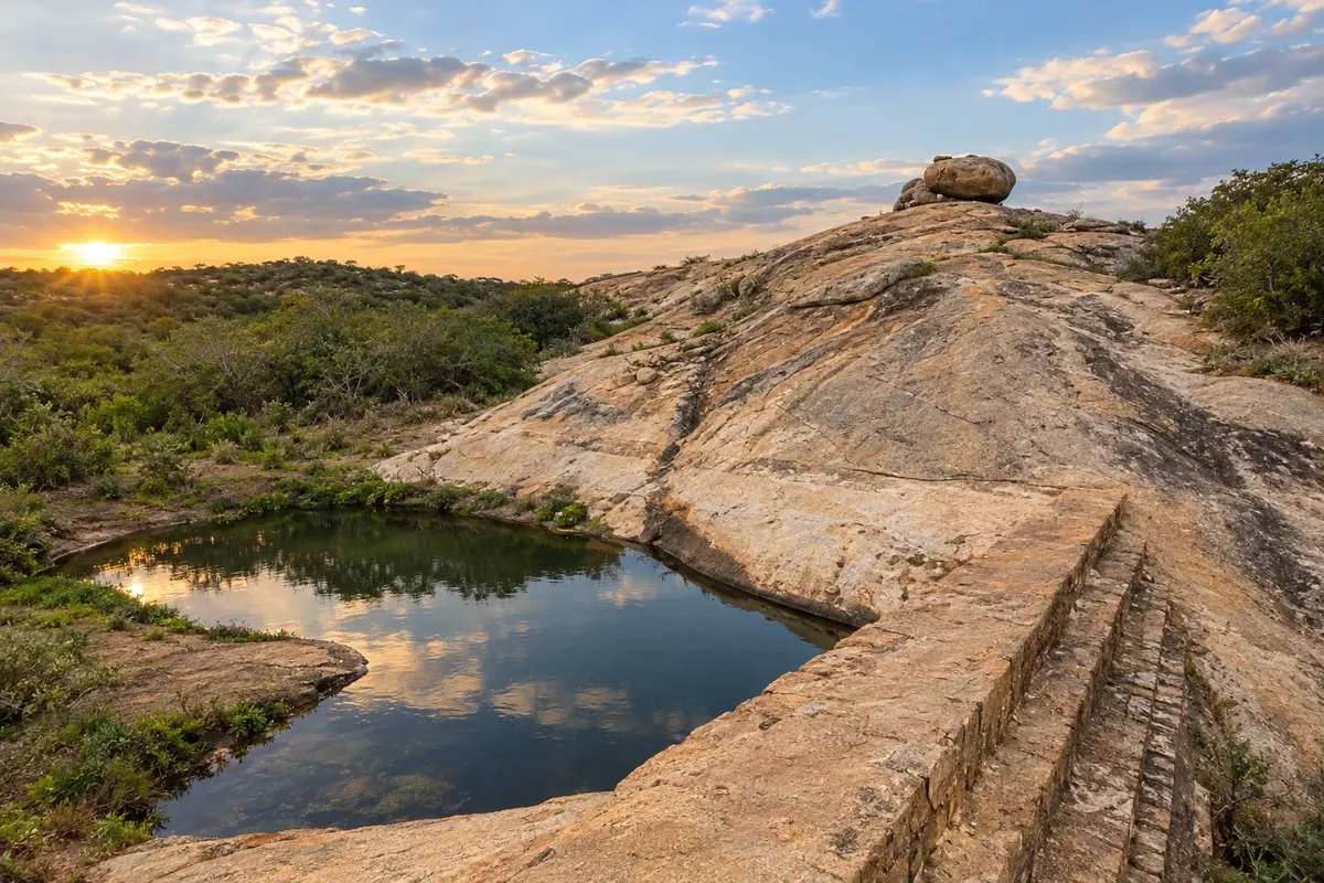
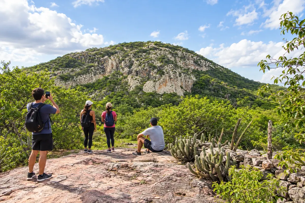
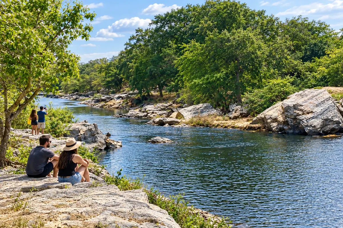
In the photo: Laje das Moças in the Cariri landscape of Paraíba.
Illustrative images. The pictures in this guide are illustrations based on the real place, not photographs, and may differ from it.

The route
What the Cariri Cultural Route is
Taperoá preserves references to Ariano Suassuna, while Sumé's museums present the art of Miguel Guilherme and the memory of Zé Marcolino. In Monteiro, Zabé da Loca's house is connected to the history of the pífano. The Cariri Cultural Route brings together ten municipalities among mountain ranges, caatinga and the paths of the Paraíba River. Campina Grande serves as the starting point for the trip; on rural stretches, guided visits bring places and local knowledge closer.
The map
11 cities along the way
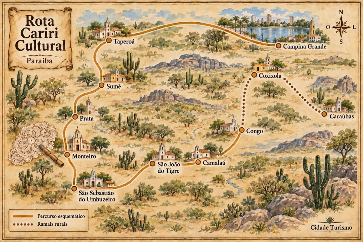
Mapa: @svg-maps/brazil, CC BY 4.0
The journey
City by city
Distances and times are approximate: check before you set off.
-
 1 · PB
Campina Grande
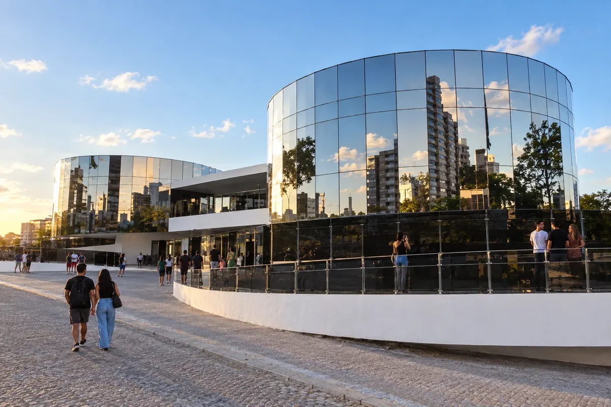
Açude Velho and the museums tell parts of Campina Grande's history, an urban center of the Serra da Borborema. The railway and cotton marked its growth; today the city brings together universities, services and a cultural life also tied to forró and the June festivals.
→ Taperoá BR-230 westbound, with exits via PB-228 and PB-238 in the Assunção area to Taperoá. The connection leaves the Agreste and reaches the landscapes of the Cariri.
-
 2 · PB
Taperoá
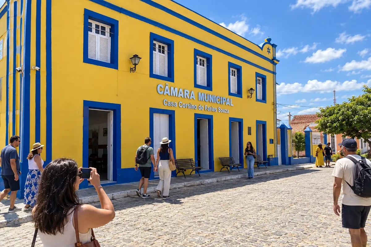
Ariano Suassuna spent part of his childhood in Taperoá and revisited the town in his work. The Museu Casa Ariano Suassuna and the collection of streets, sobrados and churches in the center bring the visitor closer to that memory as part of the town's cultural itinerary.
→ Sumé PB-238 and PB-226 via Livramento, PB-148 and PB-200 via São José dos Cordeiros and Serra Branca, then BR-412 to Sumé. The route crosses the western Cariri and reaches Sumé via the federal axis.
-
 3 · PB
Sumé
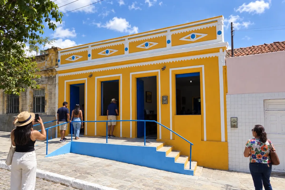
Miguel Guilherme's sacred art and Zé Marcolino's compositions have dedicated spaces in Sumé. The Museu/Escola Miguel Guilherme, the local history memorial and the Casa da Cultura Poeta Zé Marcolino offer distinct themes for the stop before heading west.
→ Prata Along BR-412 westward and via access BR-110/PB-250 to Prata. The link leaves the federal axis to reach the town and the local accesses of the Matarina.
-
 4 · PB
Prata
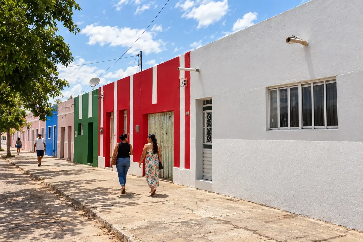
The Serra da Matarina rises in the landscape of Prata, a municipality linked to goat farming and milk production. Its complex of trails makes up the town's rural itinerary, with paths that require accompaniment and access arrangements.
→ Monteiro Return via access BR-110/PB-250 to BR-412 and continue to Monteiro. The route crosses rural areas of the western Cariri before the urban base.
-
 5 · PB
Monteiro
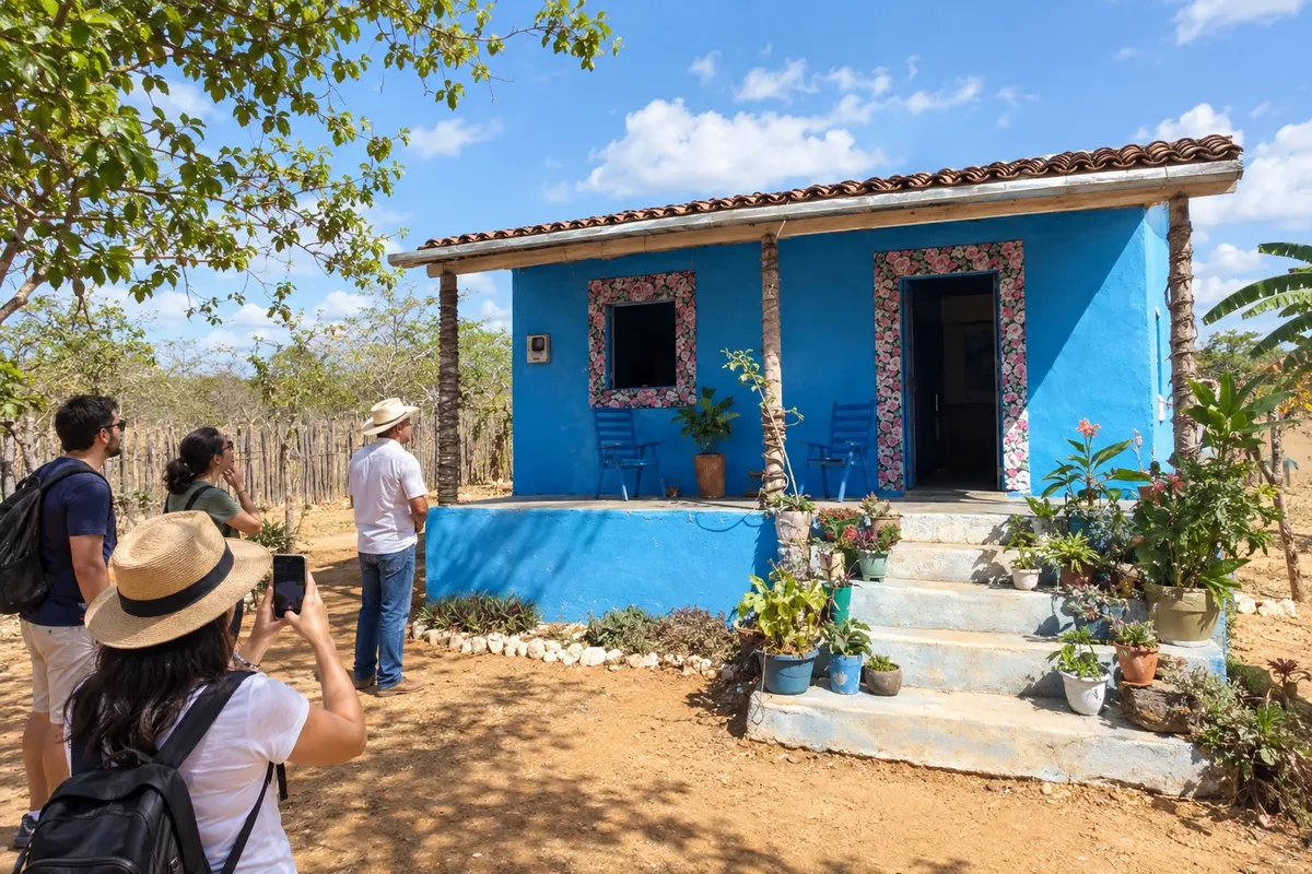
The memory of Zabé da Loca remains at the Tungão site in Monteiro, where the pífano is part of the place's cultural history. Laje das Moças adds the rocky landscape to the stop; the municipality is also a service base in the western Cariri.
→ São Sebastião do Umbuzeiro PB-264 from Monteiro, passing through Zabelê to São Sebastião do Umbuzeiro. The stretch is part of the Cariri Ring and crosses the southern sector of the region.
-
 6 · PB
São Sebastião do Umbuzeiro
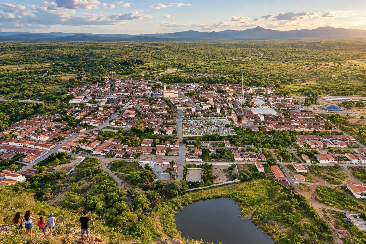
São Sebastião do Umbuzeiro is in the south of the Cariri, at the junction of PB-264 and PB-240. The access from Monteiro passes through Zabelê and continues toward São João do Tigre, linking this seat to the southern cultural branch.
→ São João do Tigre PB-240 toward São João do Tigre, crossing the southern sector of the Cariri. The axis passes the connection with PB-256 and reaches the junction with PB-224.
-
 7 · PB
São João do Tigre
Renascença lace marks the craftwork of São João do Tigre, a municipality that also hosts the APA das Onças. Along the route, the town connects PB-240 to PB-224; natural areas have their own access points that require separate planning.
→ Camalaú Via PB-224, heading north to Camalaú and the junction with PB-196. The road connects the two seats of the southern branch.
-
 8 · PB
Camalaú
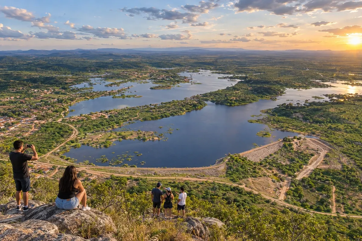
The Paraíba River and the Camalaú dam help situate this town in the Cariri. The town is at the junction of PB-224 and PB-196, bringing together the routes that come from São João do Tigre and head to Congo.
→ Congo PB-196 from Camalaú to Congo, alongside the accesses of the Paraíba River valley and the Cordeiro dam region. The link runs between the two seats, with rural caatinga landscapes.
-
 9 · PB
Congo
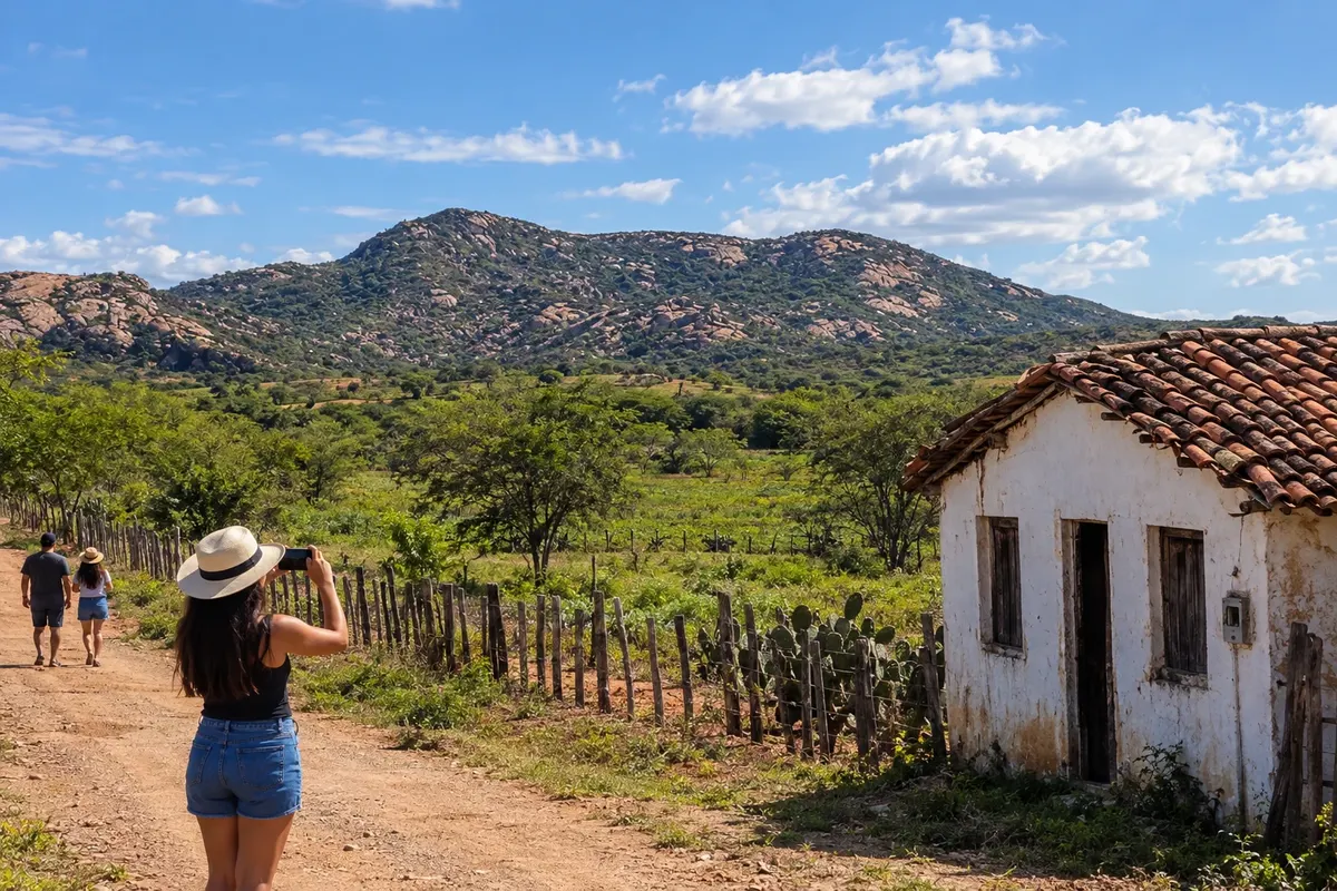
The Serra da Engabelada and the course of the Paraíba River are landmarks of Congo. The trail network complements local popular culture traditions; combine the visit to the mountain before choosing the rural access points for the next stretch.
→ Coxixola Access via PB-200, from the junction with PB-196 to Coxixola. The rural segment has unpaved stretches; confirm the route before traveling it.
-
 10 · PB
Coxixola
Coxixola takes part in the cultural route on the branch between PB-200 and PB-204. North of Congo and west of Caraúbas, the town marks the passage along rural caatinga roads, with stretches that require checking access before the trip.
→ Caraúbas PB-204, from the junction with PB-200 to PB-196, in the Caraúbas area. It's an unpaved rural branch; the continuation leads to the municipal seat.
-
 11 · PB
Caraúbas
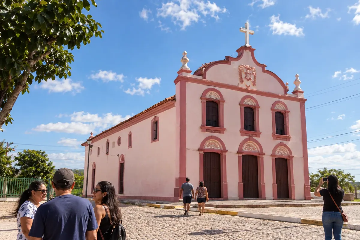
The Igreja de Nossa Senhora do Rosário holds part of Caraúbas' religious memory, a town on the banks of the Paraíba River. The Cangati waterfront links to the town's landscape and local cuisine; arrange the visit to the temple before going.
How many days
Five to eight days to choose cultural visits and trails along the route. Reserve one or two days for Campina Grande and distribute your nights in the interior according to the places you want to visit.
Best time to go
From June to September the Cariri usually has less rain and is a good option for driving the roads and visiting lajedos (rock slabs). Between February and May the rains tend to make the caatinga greener. Campina Grande has a different pattern: it rains more from April to July. For walks, bring water and sun protection and choose stretches according to your fitness level.
The seasons shown are the most usual ones; nature doesn't always follow the calendar.
How to travel it
Start in Campina Grande, following the inland highways to Taperoá, Sumé, Prata and Monteiro. The Cariri Ring connects the southern municipalities; Congo, Coxixola and Caraúbas complete the selection. A car helps to split access between the towns and the rural areas. Check the dirt tracks and arrange trail access with a local guide.
Who it's for
For those who enjoy cultural memory, caatinga landscapes and guided walks. Museums and historic centers can be part of the trip without trails; renascença lace, the pífano and poetry help to understand the traditions of the Cariri.
Your questions
Frequently asked questions about the Cariri Cultural Route
Do I need to visit all ten municipalities in a single trip?
No. The route can be split between the cultural core of Taperoá, Sumé and Monteiro and the southern and Paraíba River branches. Choose the places you want to visit before allocating your nights.
Is Campina Grande part of the official Cariri Cultural Route?
Campina Grande serves here as the starting point and has its own urban heritage. The adopted state cultural framework brings together the ten inland municipalities listed on the route.
Can you travel only with cultural visits, without trails?
Yes. The museums of Campina Grande and Sumé and the heritage of Taperoá allow for an urban selection. Trails in the mountains are included depending on the visitor's preparation and interest.
Can I reach the mountain ranges on my own?
The road leads to the towns, but access to the rural circuits must be arranged with a driver or the person responsible at the site. Private properties and natural areas have different rules.
Are there unpaved sections?
The Coxixola branches along PB-200 and PB-204 have unpaved rural stretches. Choose your vehicle and confirm access when planning the trip.
Where should you spend the nights in the interior?
Monteiro and Sumé are bases for museums and movements from the west of the Cariri. An overnight stay elsewhere depends on the branch chosen and access to the next day's visits.