
Route · CE
Rota das Falésias
Between Fortaleza and Icapuí, the eastern Ceará coast brings together cliffs, estuaries and fishing communities, with stages at the heritage sites of Aquiraz and Aracati.
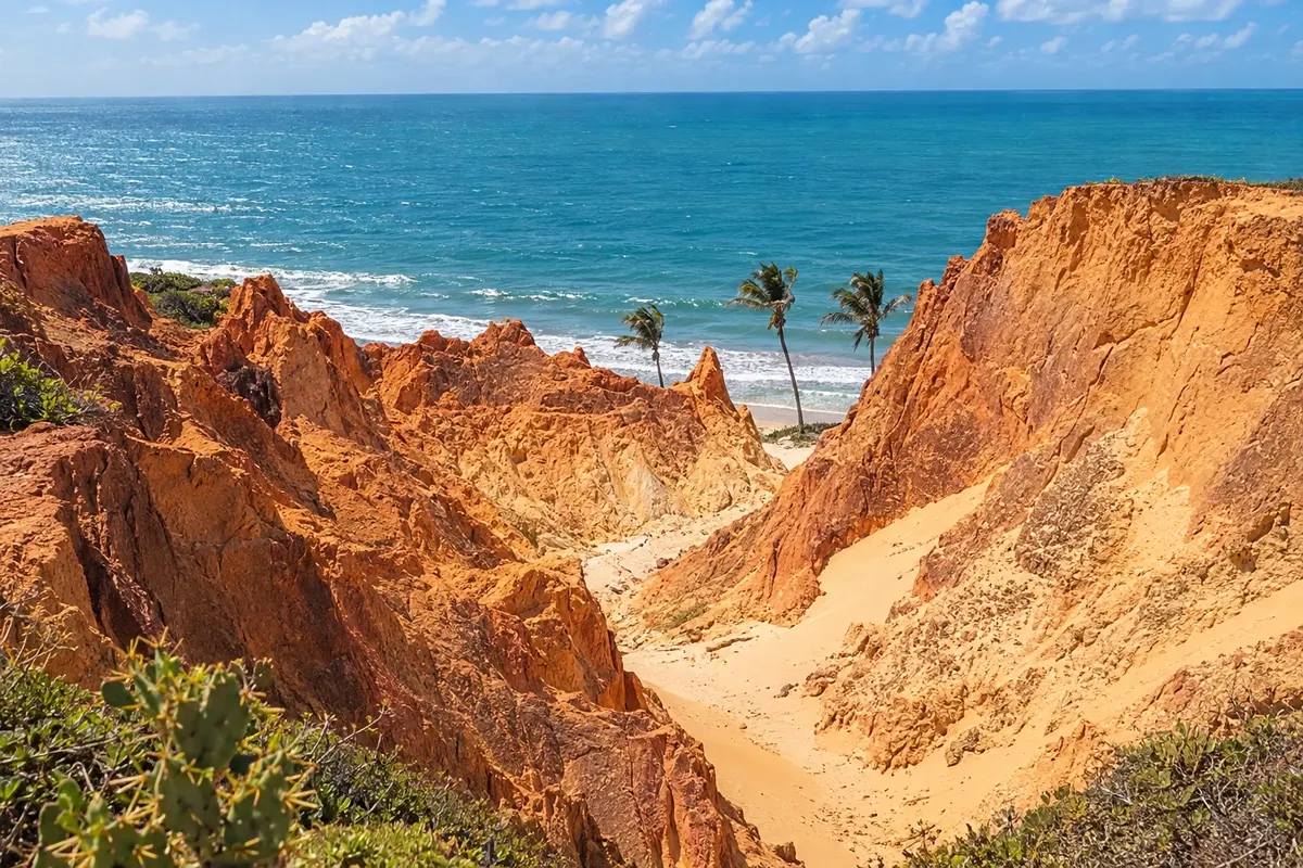
In the photo: Cliffs of Morro Branco, Beberibe, Ceará
Illustrative images. The pictures in this guide are illustrations based on the real place, not photographs, and may differ from it.

The route
What the Rota das Falésias is
The Rota das Falésias connects municipalities of Ceará's eastern coast. The road corridor uses the CE-040 and beach access roads, continuing to Aracati and Icapuí. Morro Branco, Praia das Fontes, Pontal do Maceió, Canoa Quebrada, Ponta Grossa and Redonda are coastal reference points; Eusébio and Pindoretama add inland environments to the shoreline.
The trip alternates urban centers, fishing communities and areas of dunes and cliffs. Aquiraz preserves the historic ensemble of Ceará's first capital. Aracati features townhouses linked to trade on the Jaguaribe. Walks on the sand, paths along the cliffs and estuary outings have their own rules, in addition to road traffic.
The nine-stop variant includes all municipalities in the legal circuit and uses Fortaleza as the starting point. The chosen section ends in Icapuí; no continuation into Rio Grande do Norte is assumed.
The map
9 cities along the way
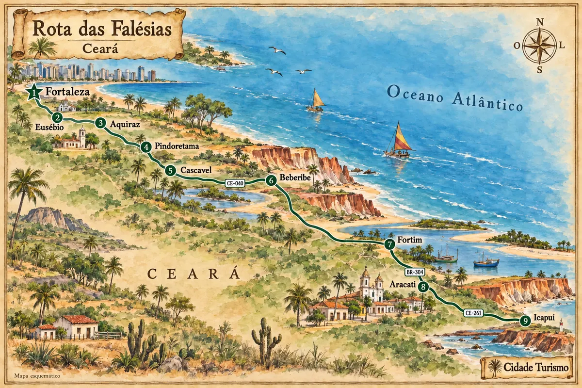
Mapa: @svg-maps/brazil, CC BY 4.0
The journey
City by city
Distances and times are approximate: check before you set off.
-
 1 · CE
Fortaleza
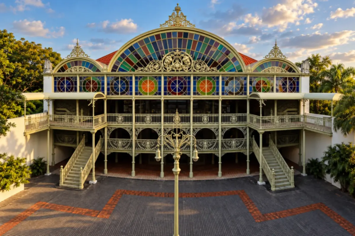
Fortaleza brings together Praia de Iracema, the Centro Dragão do Mar de Arte e Cultura and Theatro José de Alencar. The Meireles waterfront and Mucuripe show another side of the capital. The departure for the eastern coast begins in the urban fabric, with access to the CE-040 corridor.
→ Eusébio Leave Fortaleza via the urban access to the CE-040 toward Eusébio. The stretch still belongs to the Metropolitan Region; entering the town center and visiting Precabura require local choices beyond the road passage.
-
 2 · CE
Eusébio
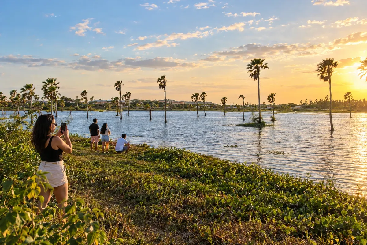
Eusébio is in the Fortaleza Metropolitan Region and has Lagoa da Precabura as an environmental reference. The Igreja Matriz de São José is on Avenida Eusébio de Queiroz. In the initial stage of the circuit, the landscape remains inland, without an ocean beach.
→ Aquiraz From Eusébio, use the CE-040 and the access road to Aquiraz town center. Porto das Dunas lies on another coastal branch; do not confuse the route to the historic center with the entrance to that beach.
-
 3 · CE
Aquiraz
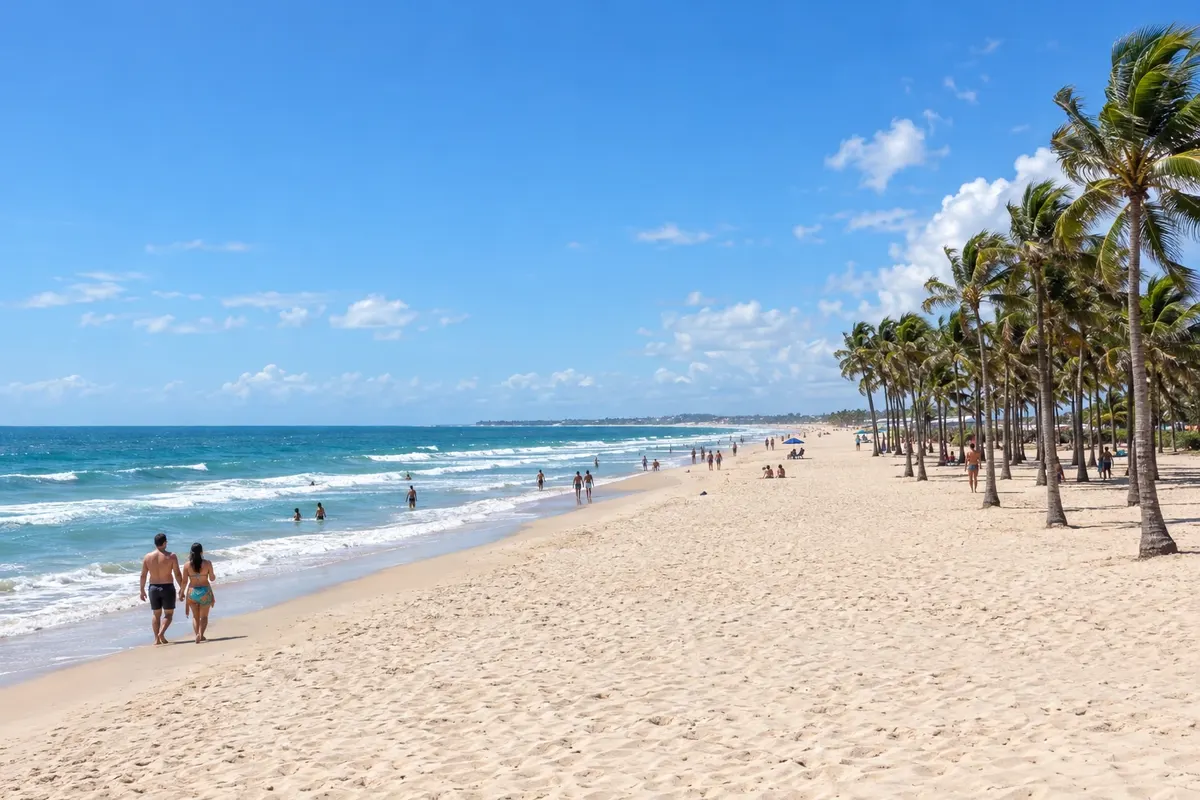
Aquiraz was Ceará's first capital and preserves heritage in its historic center. Porto das Dunas and Prainha form its coastal strip, while bobbin lace is part of the local craft tradition. The route combines the town center with access to the coast.
→ Pindoretama Return to the CE-040 corridor and continue to Pindoretama. The connection crosses the inland strip of the eastern coast, with mills and sugarcane production appearing along the rural access roads.
-
 4 · CE
Pindoretama
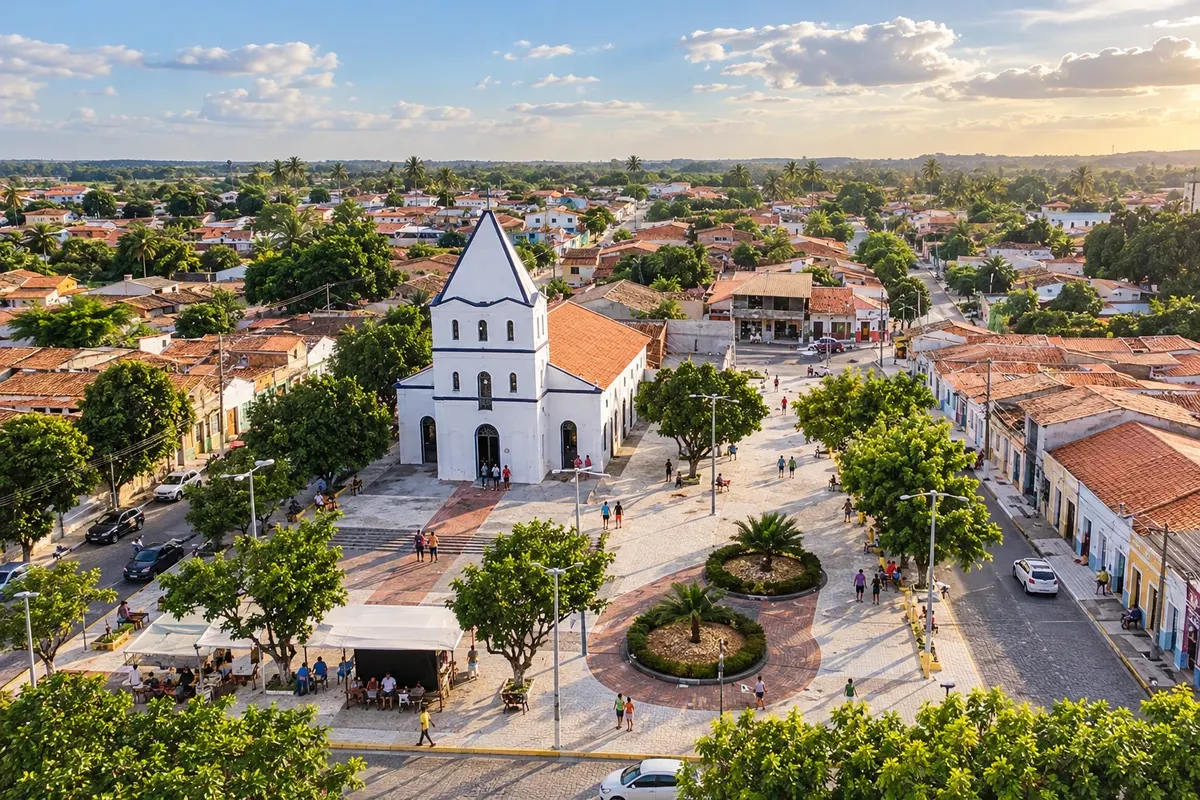
Pindoretama is linked to rapadura production and the mills along the CE-040 strip. Its territory does not reach the sea. The rural stage contrasts with the following coastal localities and allows visitors to learn about sugarcane culture through visits to the establishments.
→ Cascavel The CE-040 takes you from Pindoretama to Cascavel. For Caponga and Águas Belas, leave the main axis via local access roads; visiting the beaches does not require crossing the estuary by car over the sand.
-
 5 · CE
Cascavel
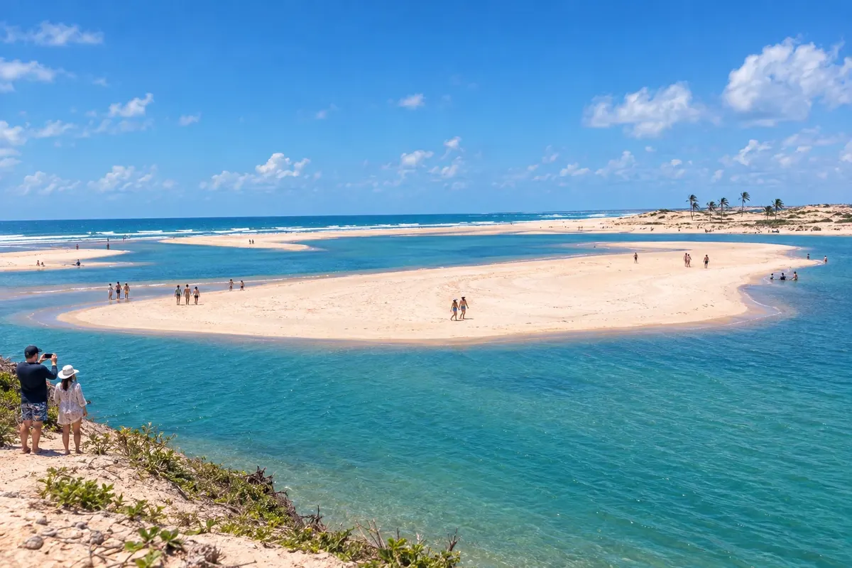
Cascavel brings together Caponga and Águas Belas, where the Rio Mal Cozinhado meets the coast. Barra Nova is associated with the mouth of the Rio Choró, and Balbino maintains a fishing community. The trip leaves the CE-040 corridor to reach these communities.
→ Beberibe Continue along the CE-040 between Cascavel and Beberibe. Morro Branco and Praia das Fontes have their own coastal entrances, while the highway runs further inland.
-
 6 · CE
Beberibe
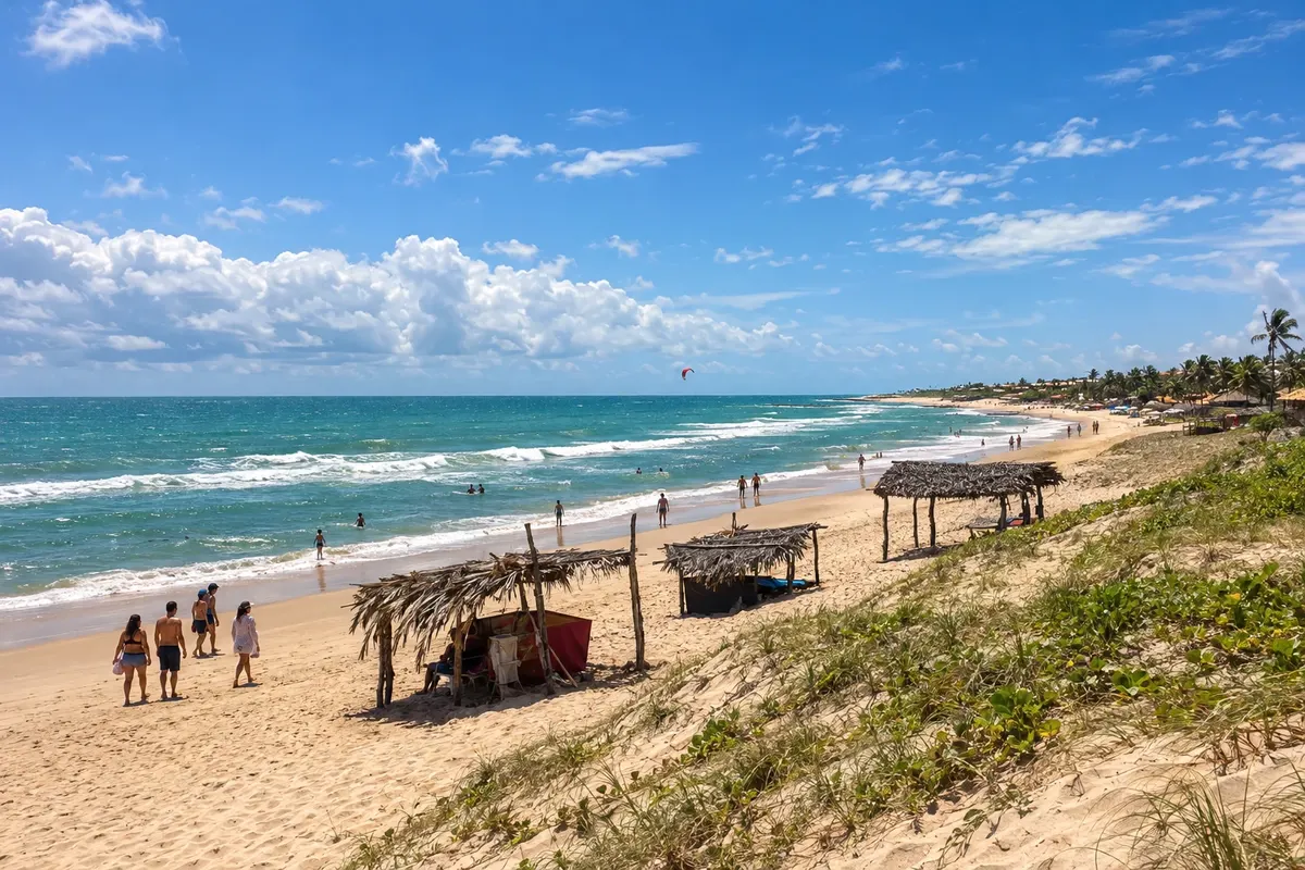
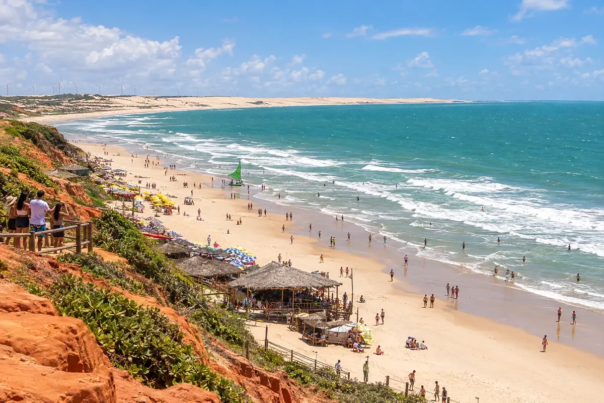
Beberibe brings together the Monumento Natural das Falésias alongside Morro Branco and Praia das Fontes. Uruaú and Parajuru add other coastal centers. The paths between sediment walls are part of a protected area and must follow visitation rules.
→ Fortim From Beberibe, the CE-040 follows the Sucatinga and Parajuru corridor to the access road to Fortim. Pontal do Maceió lies off the main axis, near the Jaguaribe estuary.
-
 7 · CE
Fortim
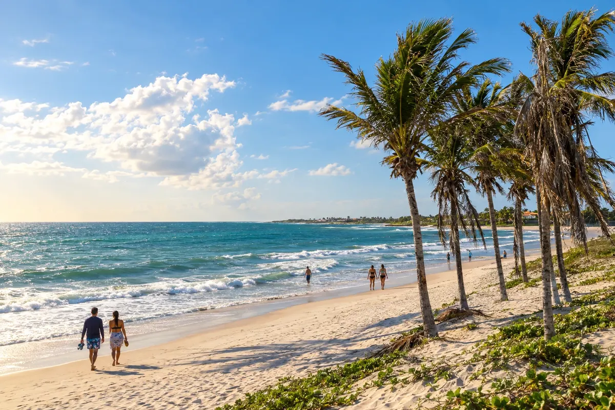
Fortim is located at the Jaguaribe estuary and has Pontal do Maceió as a reference for beach and fishing. The meeting of river, mangrove and sea distinguishes this stage. Boat trips need to be arranged with operators and depend on local conditions.
→ Aracati Leave Fortim and resume the road connection to Aracati. The route crosses the Jaguaribe corridor; the historic center and the branch toward Canoa Quebrada are different local destinations.
-
 8 · CE
Aracati
Aracati preserves historic houses tied to trade on the Rio Jaguaribe and is home to Canoa Quebrada on the coast. Majorlândia and Quixaba are other communities in the municipality. The town center and the beaches require their own travel, without turning Canoa Quebrada into a separate city.
→ Icapuí From Aracati, use the BR-304 and the junction with CE-261 to Icapuí. The entrances to Redonda, Ponta Grossa and Requenguela require separate travel; the itinerary ends in the Ceará municipality.
-
 9 · CE
Icapuí
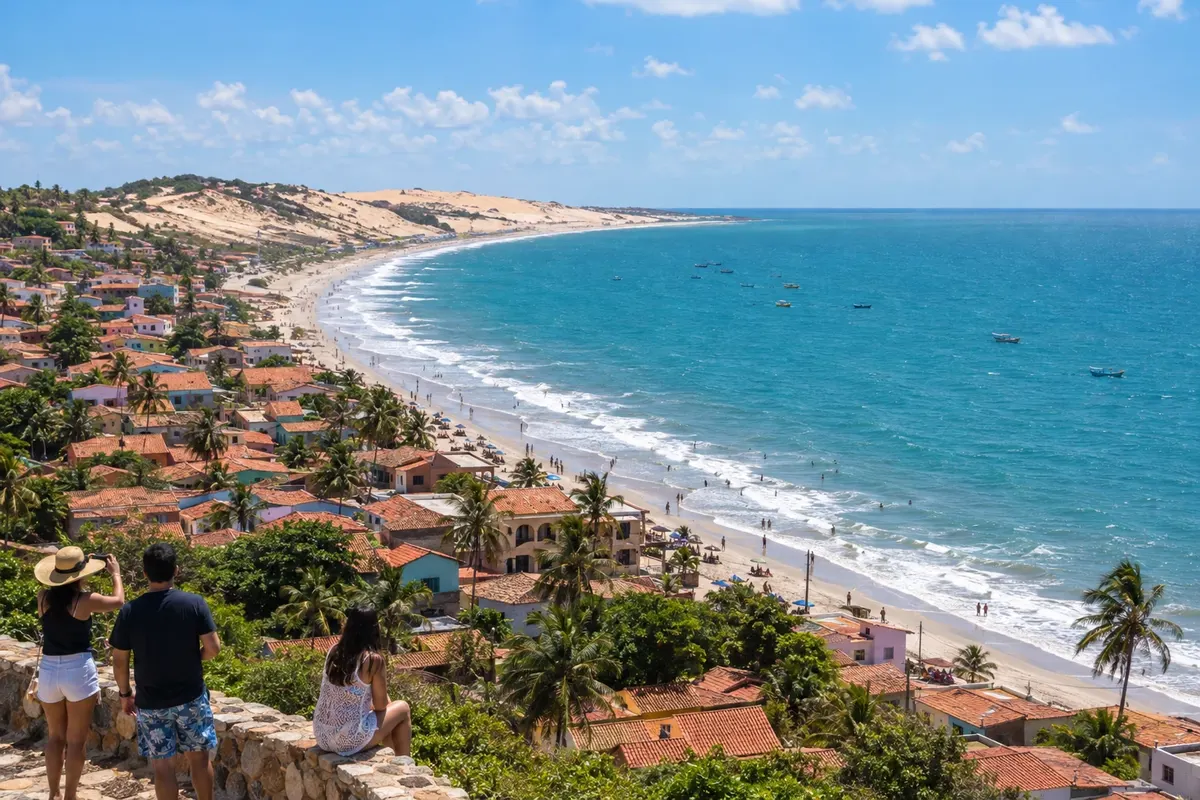
Icapuí has cliffs at Ponta Grossa and Redonda, mangrove at Requenguela and coconut groves on the Tremembé coast. Fishing is part of life in these communities. The final stage distributes visits across distinct beaches, with access beyond the CE-261.
Travelers' photos
Rota das Falésias through the eyes of those who went



How many days
Allow six to eight days for the nine stops, adjusting your stay at the coastal centers and the urban heritage sites.
Best time to go
Rainfall is usually concentrated from February to May. From August to December it generally rains less, favoring walks along the cliffs and visits to the traditional houses. The wind season generally runs from August to January, with stronger winds from September to November, a period popular for kitesurfing. Reefs and passages along the sea follow the tide. July and December to February tend to be busier.
The seasons shown are the most usual ones; nature doesn't always follow the calendar.
How to travel it
A car or hired transport makes it easier to connect the centers. Use the CE-040 as the main axis to Aracati; for Icapuí, complete the route via BR-304 and CE-261. The beaches require their own access points. Do not treat the trip as a continuous road over the sand.
Who it's for
Travelers looking to combine coastline, historic heritage and fishing communities on road trips with local outings.
Your questions
Frequently asked questions about the Rota das Falésias
Do I need to travel over the sand?
No. The main connection is by road. Beach outings are separate activities, subject to tides, permitted areas and local rules.
Does a single accommodation work for the whole trip?
Fortaleza can serve as a starting point, but spreading overnight stays along the eastern coast prevents repeating long transfers. Choose your bases according to the beaches and the heritage sites you intend to visit.
How can you visit cliffs and estuaries?
Use authorized paths and seek local guidance. For boat trips or contracted activities, confirm conditions and availability with the operator.
Does the itinerary include Rio Grande do Norte?
This variant ends in Icapuí, in Ceará. An extension to the municipalities of Rio Grande do Norte requires separate planning and was not included in this itinerary.