
Route · SC
Caminho dos Príncipes — Rota Imperial
Ten cities in northern Santa Catarina on a driving circuit that links railway memory, museums, the mountains and maritime heritage.
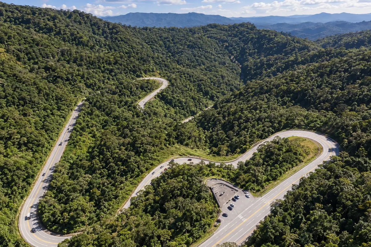
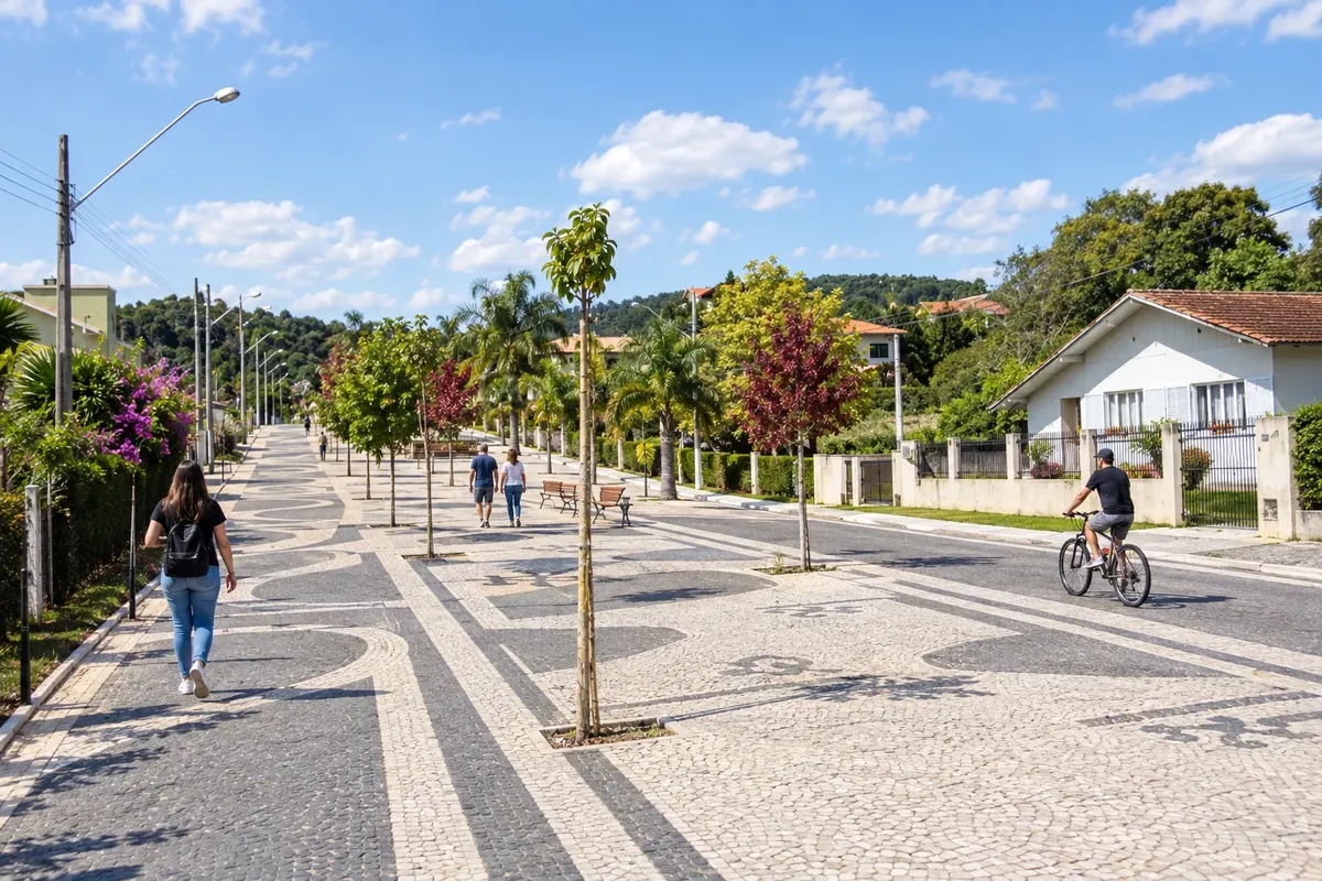
In the photo: Serra Dona Francisca, stretch of SC-418 between the plateau and Joinville.
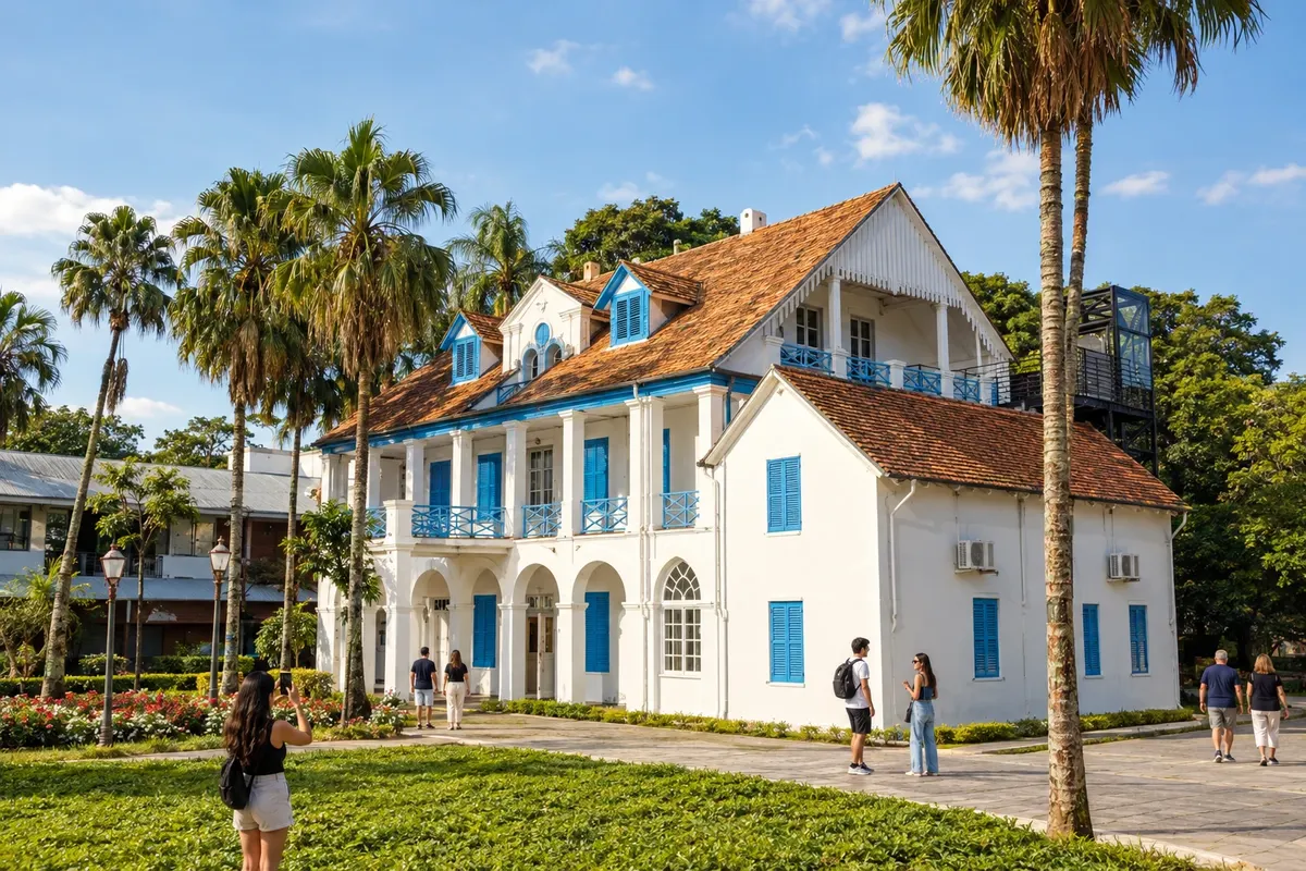
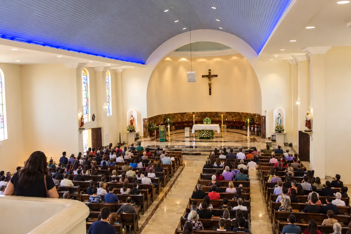
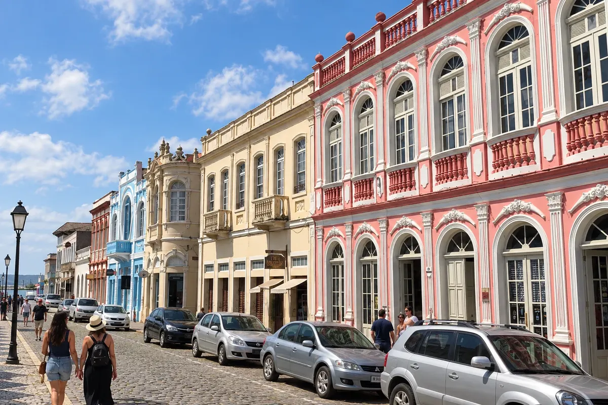
Illustrative images. The pictures in this guide are illustrations based on the real place, not photographs, and may differ from it.

The route
What the Caminho dos Príncipes — Rota Imperial is
O Caminho dos Príncipes — Rota Imperial reúne dez municípios do norte de Santa Catarina reconhecidos na lei federal. Este roteiro organiza uma viagem de carro entre o planalto, a Serra Dona Francisca, o litoral da Baía da Babitonga e o Vale do Itapocu. Museus, templos, estações e paisagens costeiras dão temas diferentes a cada parada.
A sequência de visitas começa em Rio Negrinho e termina em Corupá, com retorno pela BR-280, passando novamente por São Bento do Sul. A ordem aproveita o itinerário estadual original, que reunia esses mesmos municípios; a composição estadual vigente e a região turística Caminho dos Príncipes têm outra lista. O percurso federal abrange municípios de duas regiões turísticas: Caminho dos Príncipes e Vale dos Encantos.
Cada número identifica uma cidade distinta, não um dia obrigatório de viagem. Entradas em museus, passeios ferroviários, atividades no litoral e visitas a propriedades exigem programação própria. O mapa ilustrado simplifica as ligações, e a navegação deve seguir as estradas e os acessos atuais. A Rota das Cachoeiras de Corupá está fechada e não é apresentada como trilha disponível.
The map
10 cities along the way
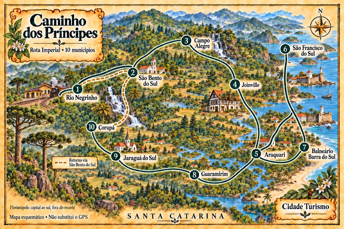
Mapa: @svg-maps/brazil, CC BY 4.0
The journey
City by city
Distances and times are approximate: check before you set off.
-
 1 · SC
Rio Negrinho
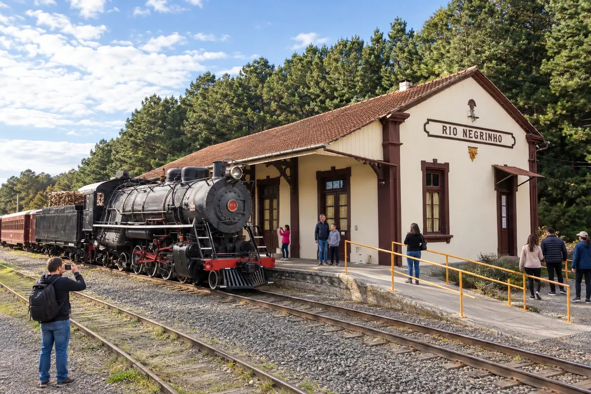
The station of Rio Negrinho houses railway equipment and serves as a reference point for Maria Fumaça excursions. In the Casarão Zipperer, the Museu Municipal Carlos Lampe presents the community’s heritage. This first stop can devote time to these collections and to Parque Paul Harris before departing along the highway corridor.
→ São Bento do Sul BR-280 connects Rio Negrinho to the access to São Bento do Sul across the plateau. Reaching the central museums requires leaving the highway corridor and following the urban street network; do not confuse access to the headquarters with the tourist railway route.
-
 2 · SC
São Bento do Sul
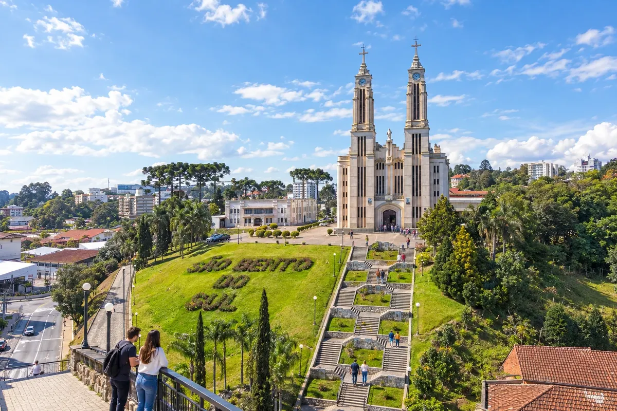
The Museu Dr. Felippe Maria Wolff occupies a former residence in São Bento do Sul and preserves the memory of colonization. The Igreja Puríssimo Coração de Maria stands out for its central staircase, while the Museu Ornith Bollmann presents a natural history collection in Oxford. Urban visits precede the continuation across the plateau.
→ Campo Alegre The connection from São Bento do Sul to Campo Alegre uses SC-418 on the plateau. The urban approach roads lead to the Cascatinha core; Bateias de Baixo is a side outing and not an automatic stop on the main road.
-
 3 · SC
Campo Alegre
Campo Alegre has the Cascatinha do Ribeirão Farias in the town center and the Museu Sto Lat in Bateias de Baixo, dedicated to Polish culture. The Festa Estadual da Ovelha relates to sheep production, and the Matriz Santíssima Trindade preserves a building begun in the 19th century. Visiting the district requires a local detour separate from the main crossing.
→ Joinville From Campo Alegre, SC-418 descends the Serra Dona Francisca toward Joinville. The terrain changes from plateau to forested slopes; curves and possible fog call for planning the crossing and checking the current condition of the road.
-
 4 · SC
Joinville
Joinville presents indigenous heritage at the Museu Arqueológico de Sambaqui and objects from colonial formation at the Museu Nacional de Imigração e Colonização. Casa Fritz Alt preserves the work and residence of the sculptor, and the Museu de Arte occupies the former Doerffel house. Spread the collections over more than one time slot to get to know the city’s cultural life.
→ Araquari The exit from Joinville to Araquari is arranged via the BR-101 corridor and the urban access roads to the destination. The sanctuary lies outside the continuous travel lane of the highway, requiring entry into the streets of the municipal center.
-
 5 · SC
Araquari
The Santuário Senhor Bom Jesus de Araquari brings together devotion and the Sala dos Milagres. The Rio Parati and Parque Municipal Refúgio dos Pássaros form the municipality’s natural references. Entering the religious complex is a local visit, in addition to the car connection between the highway corridors and the coast.
→ São Francisco do Sul From Araquari, BR-280 leads to the island of São Francisco do Sul. The route reaches the landscape of the Baía da Babitonga and then the city approaches; the Centro Histórico is the reference point for this stop, separate from the beach areas.
-
 6 · SC
São Francisco do Sul
In São Francisco do Sul, traditional vessels at the Museu Nacional do Mar help tell the history of navigation. The Igreja Nossa Senhora da Graça and the Centro Histórico ensemble relate to the landscape of the Baía da Babitonga. The Forte Marechal Luz occupies another sector of the island and requires a separate outing, in addition to the walk through the old streets.
→ Balneário Barra do Sul To Balneário Barra do Sul, return to the connecting corridor and use the access via SC-415. This exit from the Centro Histórico of São Francisco do Sul requires crossing the shared section again; it is not a direct boat crossing across the bay.
-
 7 · SC
Balneário Barra do Sul
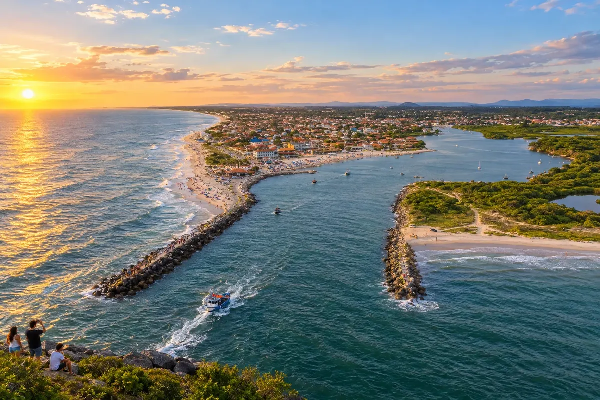
The Canal do Linguado and Boca da Barra show Balneário Barra do Sul’s connection with artisanal fishing. Praia do Bispo and Praia de Salinas extend the coastal areas that can be visited, while the Festa da Tainha brings together fishing culture in an annual edition. A boat trip depends on local navigation and hiring.
→ Guaramirim The exit from Balneário Barra do Sul uses the Estrada Geral do Itapocu, reaches BR-101 to the north and continues along BR-280 to Guaramirim. There is a return via the Araquari corridor; confirm the chosen local access before leaving the shore.
-
 8 · SC
Guaramirim
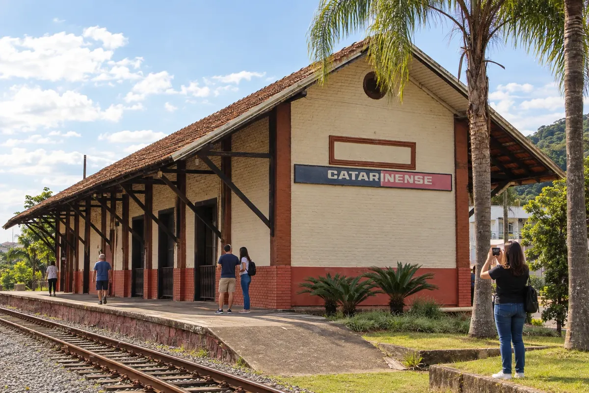
Guaramirim has the Estação Ferroviária de Bananal, inaugurated in 1910, as a landmark of urban growth linked to the tracks. The Matriz Senhor Bom Jesus preserves paintings in the dome and serves the Catholic community. The stop focuses on observing this central heritage before continuing along the BR-280 axis.
→ Jaraguá do Sul Guaramirim and Jaraguá do Sul are connected by the BR-280 axis in the Vale do Itapocu. On arrival, the urban network distributes access to Museu WEG and the historic center, while Parque Malwee is located in a different municipal sector.
-
 9 · SC
Jaraguá do Sul
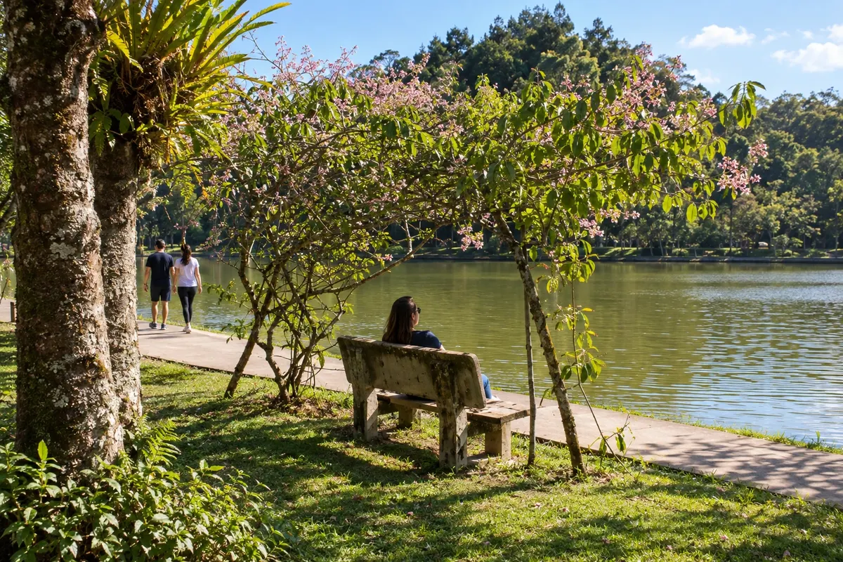
The Museu WEG de Ciência e Tecnologia showcases the electric motor industry in Jaraguá do Sul. Parque Malwee brings together lakes and walking paths, and the Chiesetta Alpina combines a memorial chapel with a view of the valley. The Museu Histórico Emílio da Silva adds the city’s urban development to the visit, leaving events to the chosen calendar.
→ Corupá The continuation from Jaraguá do Sul to Corupá follows BR-280 through the valley, approaching the Serra do Mar. Between the highway and the attractions there are local roads; Ribeirão Correias and the Orquidário Alvim Seidel have their own accesses.
-
 10 · SC
Corupá
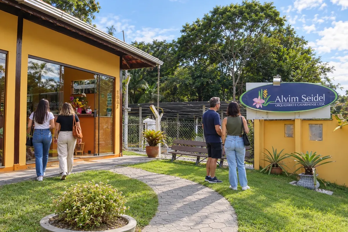
The Orquidário Catarinense Alvim Seidel maintains in Corupá a cultivation tradition begun in 1906. The Gruta da Santa receives devotion amid a water-and-rock setting, and the Matriz São José recalls the local Catholic formation. The Rota das Cachoeiras is closed and is not listed as an available trail; the road return uses the mountains and the plateau.
→ Rio Negrinho The return from Corupá to Rio Negrinho climbs via BR-280, crosses São Bento do Sul and continues across the plateau. The connection retraces the mountain corridor and passes again through the municipality of the second stop; there is no direct shortcut drawn between the town centers.
How many days
Allow seven to ten days to select visits across the ten cities, including time for museums and transfers between the mountains and the coast. There is no officially confirmed duration for this circuit; add days if you choose beaches, events or rail/boat excursions.
Best time to go
Cultural programming can be arranged throughout the year. The plateau requires attention to cold and fog; on the coast, consider wind and increased activity in summer. For the mountain roads and local routes, check rainfall and traffic conditions before starting the day.
How to travel it
Travel by car, using BR-280, BR-101, SC-418 and coastal and municipal accesses. The mountain section is winding and may present fog. The return via Corupá passes through São Bento do Sul before reaching Rio Negrinho; the exit from Barra do Sul toward the valley also uses previously traveled corridors. Museums and temples require checking with their services, and any train or boat trip must be arranged separately.
Who it's for
For travelers interested in urban heritage, immigration history, railways, science and the landscapes of northern Santa Catarina, using a car and local walks. Choose activities according to mobility, opening hours and length of stay.
Your questions
Frequently asked questions about the Caminho dos Príncipes — Rota Imperial
Is this Rota Imperial a bicycle route?
The page shows a car circuit. The Circuito das Araucárias cycling route has a different alignment and should not be confused with these road connections.
Why does the route bring together ten cities and the destinations have different names?
The federal law for the Rota Imperial brings together municipalities from two tourist regions: Caminho dos Príncipes and Vale dos Encantos. The trip connects those territories without turning them into a single region.
Is the return between Corupá and Rio Negrinho direct?
The road return uses BR-280 and crosses São Bento do Sul again. The schematic drawing does not represent an independent shortcut through the mountains.
Do the ten stops represent ten mandatory days?
The numbering organizes distinct municipalities. Duration depends on the visits chosen, the opening/service at the sites, and the time reserved for travel.
How do I calculate the displacements for this circuit?
Use the addresses of the visits and current road navigation, including urban accesses and stops. Serra Dona Francisca has curves, and the return from Corupá crosses São Bento do Sul before reaching Rio Negrinho.
Can the Rota das Cachoeiras trail be done at the Corupá stop?
The area remains closed and is undergoing a concession process. Visiting the trail should only be considered after an official reopening notice has been confirmed.