
Santa Catarina · Brazil
Campo Alegre
In the destination Caminho dos Príncipes.
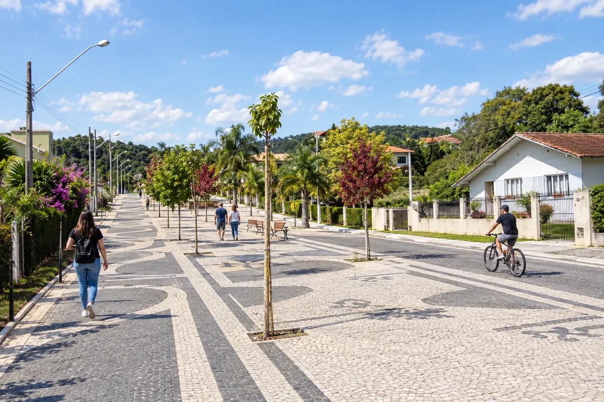
In the photo: Landscape of Campo Alegre, in Santa Catarina.
Illustrative images. The pictures in this guide are illustrations based on the real place, not photographs, and may differ from it.

The city
What to expect from Campo Alegre.
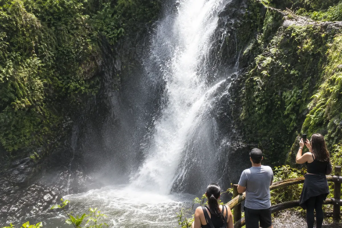
Campo Alegre brings together plateau landscapes, sheep farming and the memory of immigration. In the center, the Calçadão da Cascatinha follows a drop of the Ribeirão Farias, while the Cascata Paraíso features a taller rock face. In Bateias de Baixo, the Museu Sto Lat preserves objects of Polish culture; the Festa Estadual da Ovelha highlights local production.
Where to stay
There's no accommodation in the guide yet in Campo Alegre.
Where to eat
There are no restaurants in the guide yet in Campo Alegre.
Know a good one? Recommend it to usYour trip
how to get there · how many days · itinerary · questions
Brazilian routes
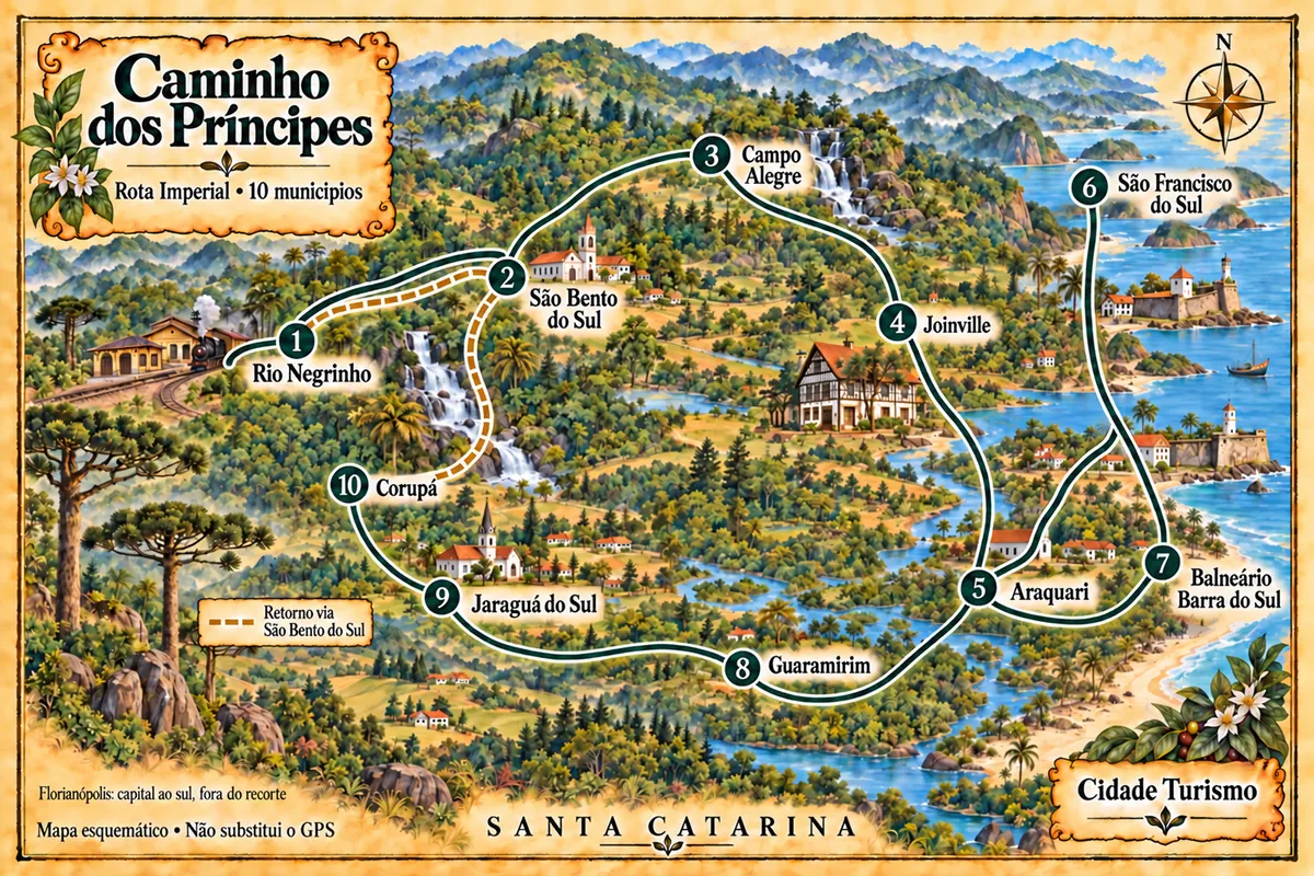
Campo Alegre is part of the Caminho dos Príncipes — Rota Imperial
Ten cities in northern Santa Catarina on a driving circuit that links railway memory, museums, the mountains and maritime heritage.
The local experience
What to see in Campo Alegre
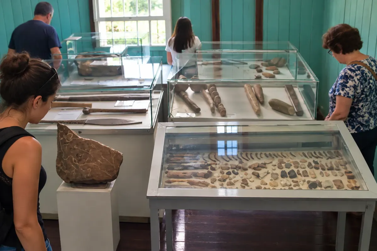
Museu Sto Lat
Memory of Bateias de Baixo's Polish culture, with objects, tools and photographs.
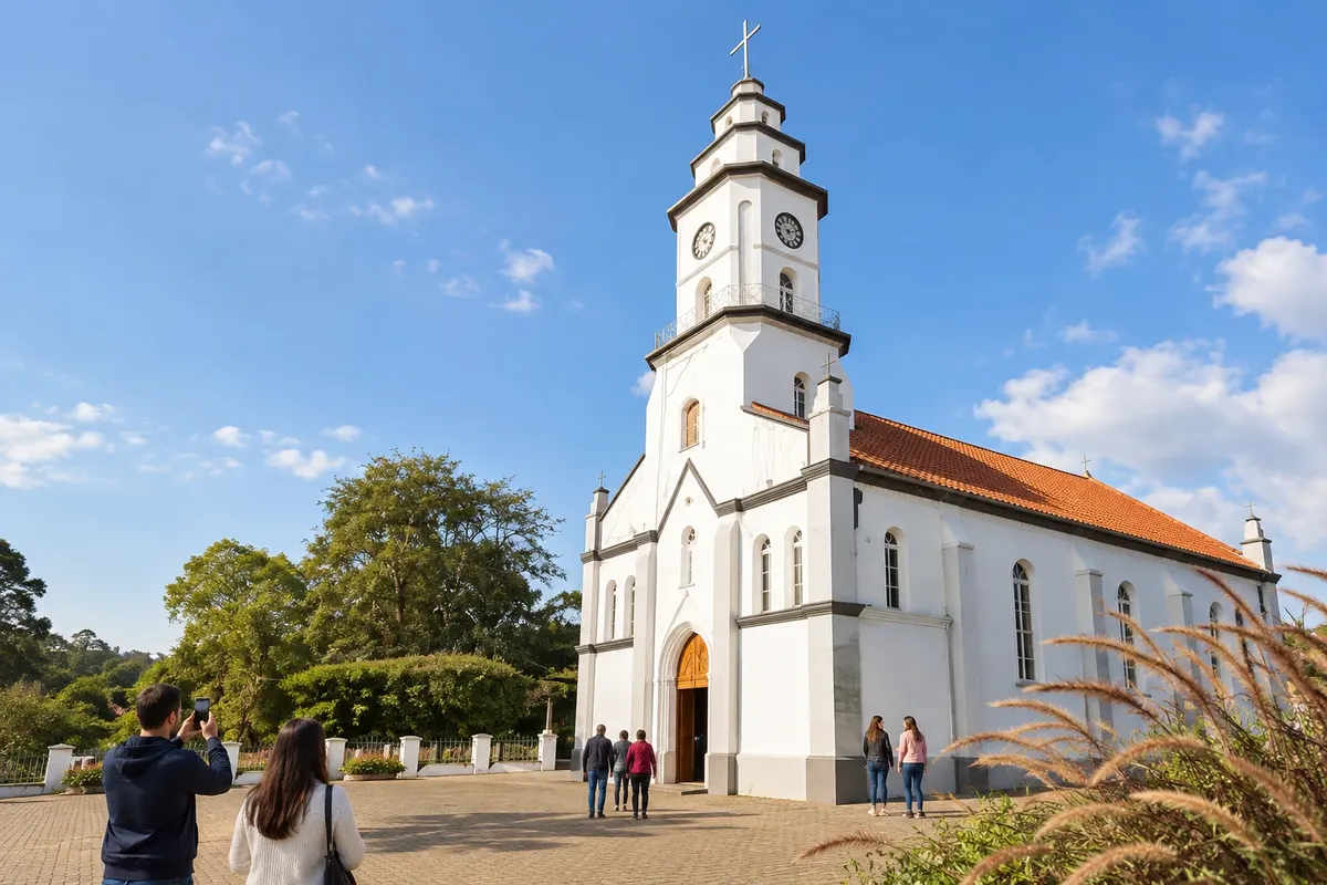
Igreja Matriz Santíssima Trindade
Catholic parish church whose construction began in 1887, before the emancipation of Campo Alegre.
Discover Igreja Matriz Santíssima Trindade