
Route · PR
Estrada da Graciosa
Quatro Barras, Morretes and Antonina on a trip through the Serra do Mar, with historic paving, rivers and coastal heritage.
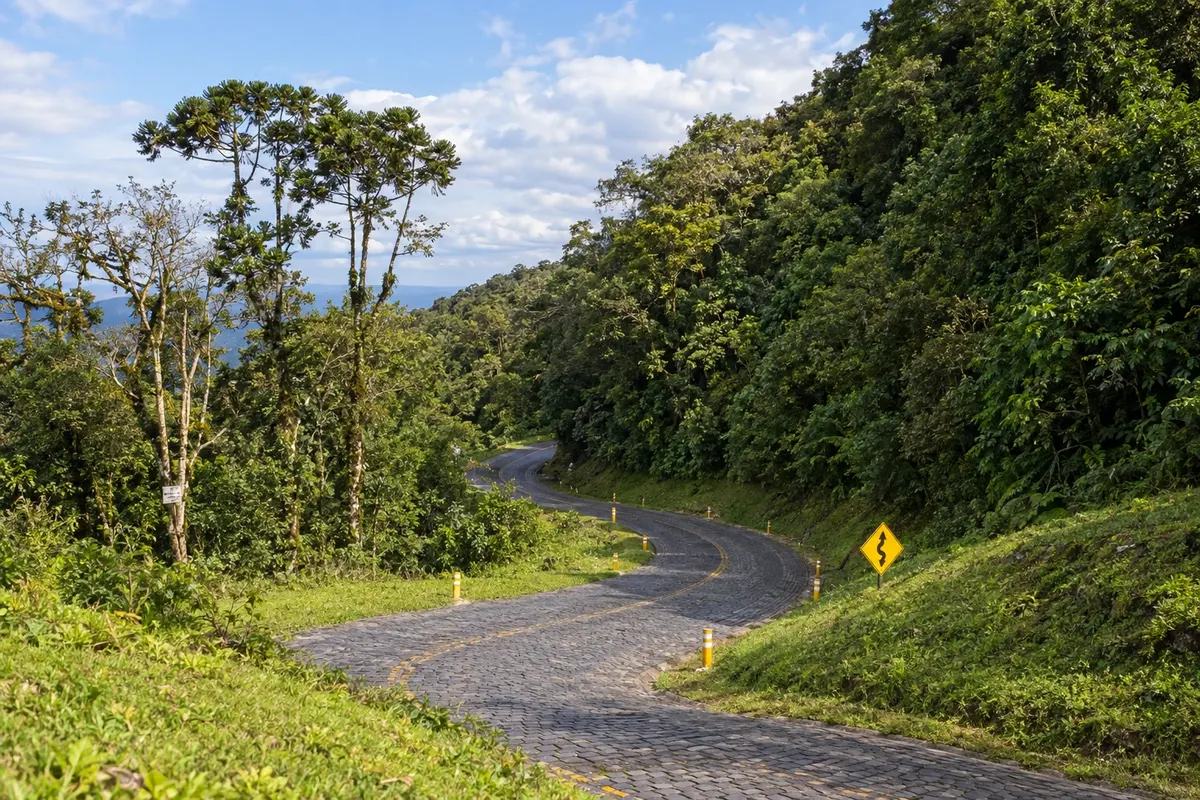
In the photo: Curves and historic paving of the Estrada da Graciosa, Paraná.
Illustrative images. The pictures in this guide are illustrations based on the real place, not photographs, and may differ from it.

The route
What the Estrada da Graciosa is
The Estrada da Graciosa crosses the Paraná Serra do Mar between the plateau and the coastal plain. The route starts in Quatro Barras, reaches the entrance to PR-410 and follows the descent with curves, Atlantic Forest and sections of polyhedral stone paving.
In São João da Graciosa, the trip takes PR-411 via Porto de Cima to Morretes. Then PR-408 leads to Antonina. The three highways play distinct roles on this itinerary; the historic stretches in Quatro Barras and the initial access should not be confused with the entirety of PR-410.
Curitiba is a reference point for access to the region, not one of the stops. The Serra do Mar train ride is also a separate experience and does not replace the road travel described here. The map shows the sequence schematically; check road conditions and prepare navigation before traveling.
The map
3 cities along the way
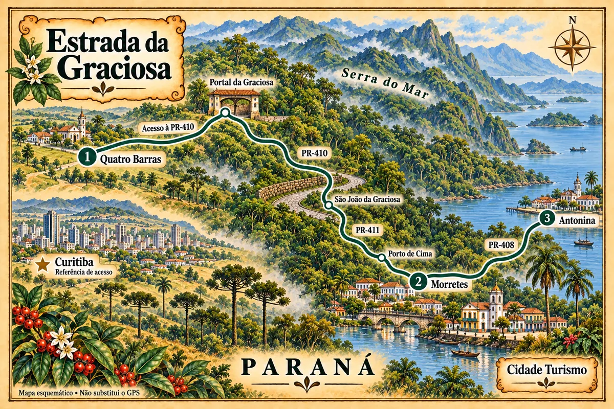
Mapa: @svg-maps/brazil, CC BY 4.0
The journey
City by city
Distances and times are approximate: check before you set off.
-
 1 · PR
Quatro Barras
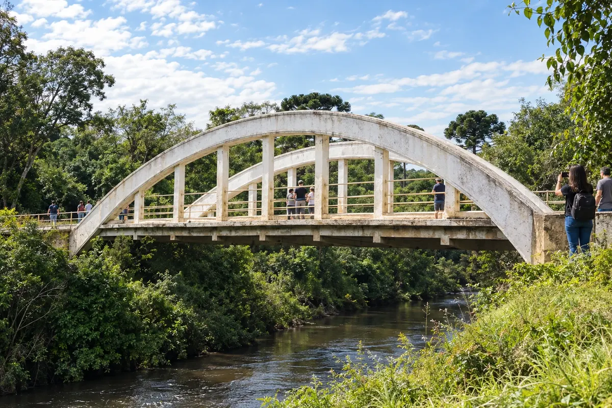
Quatro Barras features Morro do Anhangava and the Caminho do Itupava in the Serra da Baitaca. In the original Graciosa stretch, the Arco and Rio Taquari bridges preserve road heritage. The start of the trip passes along plateau roads before reaching the mountain highway entrance.
→ Morretes Reach the Portal da Graciosa via the Quatro Barras access. Descend PR-410 through the Serra do Mar, with asphalt, polyhedral paving and curves in the Atlantic Forest; in São João da Graciosa, follow PR-411 via Porto de Cima to Morretes.
-
 2 · PR
Morretes
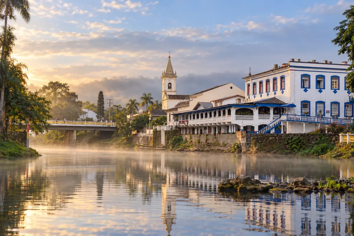
Morretes has the Rio Nhundiaquara alongside its historic core and the Igreja Matriz Nossa Senhora do Porto among its landmarks. In Porto de Cima, the route follows the arrival of PR-411. Visiting the town center and the barreado cuisine give the stop its own appeal after the mountain descent.
→ Antonina The paved PR-408 connects Morretes to Antonina across the coastal plain. This section leaves the mountain landscape and reaches the historic core by the bay, without repeating the PR-410 descent.
-
 3 · PR
Antonina
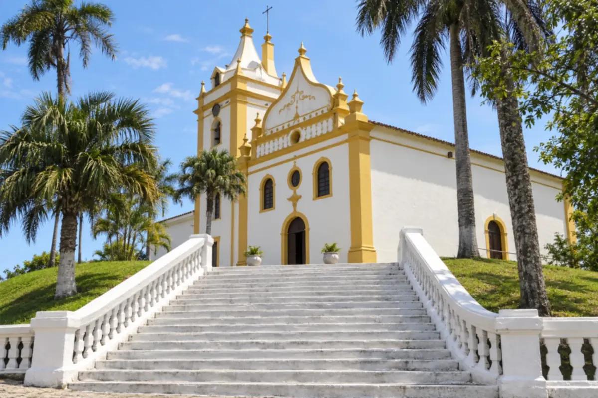
Antonina brings together the Igreja Matriz Nossa Senhora do Pilar and the Fonte da Carioca in the heritage of its historic center. The bay shapes the town's scenery, which also hosts the Festival de Inverno. The arrival via PR-408 finishes the route with coastal port architecture and memory.
How many days
Two or three days allow you to travel the mountain range and visit the historic centers without reducing the trip to mere transit. A trail in Quatro Barras requires more time dedicated to the activity, separate from the Graciosa descent.
Best time to go
Stable weather favors views of the Serra do Mar and roadside stops. Fog and rain change the experience; check traffic notices before departing. Events in the historic towns have their own schedules.
How to travel it
Start in Quatro Barras, reach the Portal da Graciosa and descend via PR-410. In São João da Graciosa, take PR-411 via Porto de Cima to Morretes; finish via PR-408 to Antonina. Make stops only at permitted points and check traffic conditions. There is no mandatory return in this route.
Who it's for
For travelers combining mountain scenery and urban heritage by car or hired transport. Walks in Baitaca are independent activities, chosen according to preparedness and access rules.
Your questions
Frequently asked questions about the Estrada da Graciosa
Is Curitiba one of the Graciosa stops?
In this itinerary, the capital is a reference point for access and is marked on the map. The stops are Quatro Barras, Morretes and Antonina, in that order.
Does PR-410 reach the center of Morretes directly?
The adopted connection leaves PR-410 at São João da Graciosa and uses PR-411 via Porto de Cima. The continuation of PR-410 to PR-408 is another segment of the road network.
Which road links Morretes to the end of the route?
The final leg uses PR-408 to Antonina. The highway crosses the plain and should not be presented as a continuation of the mountain paving.
Does the Itupava crossing replace this trip?
The Itupava is a historic hike with its own logistics and entry rules. The Graciosa described here is a road itinerary between three municipalities.
How can I confirm the distance and travel time?
Distances and durations must match the actual points and accesses used. Mountain conditions and stops alter the schedule; prepare navigation and check traffic before departure.